

WeiLiaoShan 尾寮山 is a popular hike in southern Taiwan. It’s listed as one of the “Top 100 Lower Mountains” (小百岳). Expect a fair amount of hikers if you’re planning a weekend hike. The WeiliaoShan peak is located on the border of Kaohsiung and Pingtung counties. The first half of the hike is on the Pingtung side, while the second half more or less follows the border along the ridge.
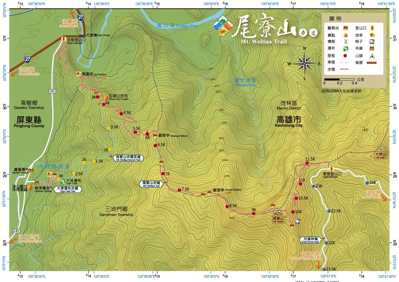
This map provided by Taiwan Forest Recreation illustrates the trail nicely.
My Honest Opinion
I need to get something off my chest before getting into this hike. This is my personal opinion, so please don’t use it to decide if you would like to hike Weiliaoshan or not – it’s probably an unpopular opinion in some circles.
I didn’t like this hike. Maybe I had it built up in my head about how good it would be, and the reality of it didn’t match my expectations. It’s a 小百岳 “Top 100 Lower Mountain” hike. It’s popular. Many people love the hike. My car mechanic ONLY hikes WeiLiaoShan – once every week or two. Did you read that? Read it again. MY MECHANIC ONLY HIKES WEILIAOSHAN. He drives over an hour to the mountains to hike the same trail he has hiked a hundred times before. He could go to any number of mountains, but chooses to only go there. His dedication impressed me!
Can you see how my expectations might have been, I don’t know…biased a bit?
Ok, why didn’t I like it?
This is where I need to jump back into the hike. For real, I’m not trying to tease you into reading through the whole thing. I just need you to get a grasp on how the hike unfolds first. Then maybe you’ll slightly understand how I feel about it. But if you really can’t wait, or you’ve already hiked it and don’t need a refresher, jump down to the “Why I don’t like Weiliaoshan” section at the bottom.
Trail Head
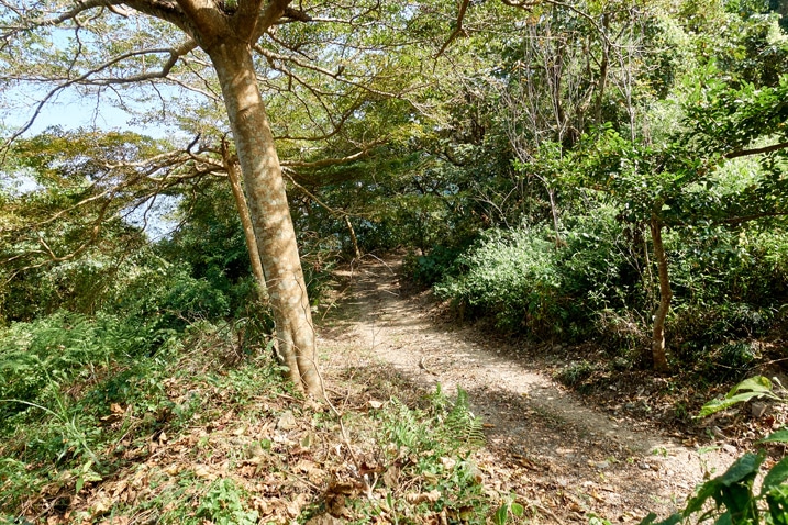
The trail head is conveniently located near the intersection of the 185 and the 27. It begins as a dirt road, similar to this.

There’s ample space to park on the 185, but I opted to drive up the trail a ways. Years ago I unwittingly drove up several kilometers, having no idea where the road led. I remembered there was a nice area for a motorcycle to park near a (now closed off) little pavilion.
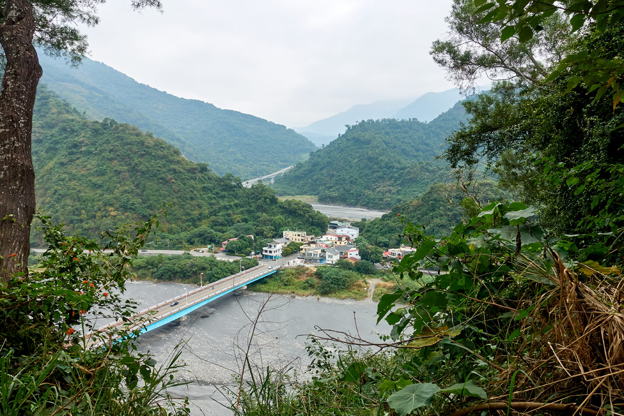
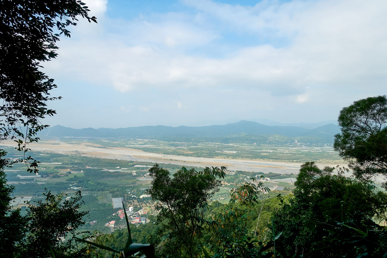
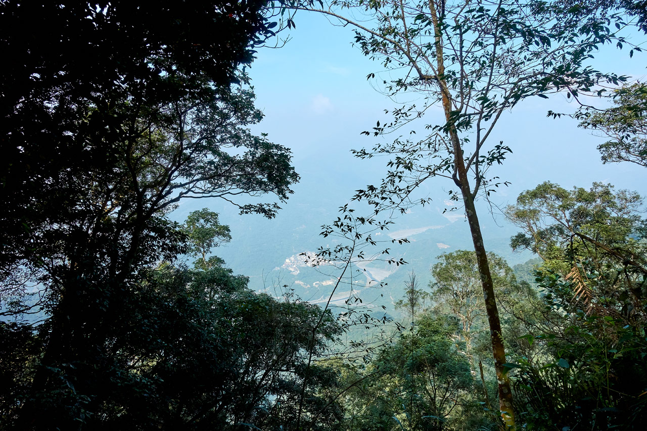
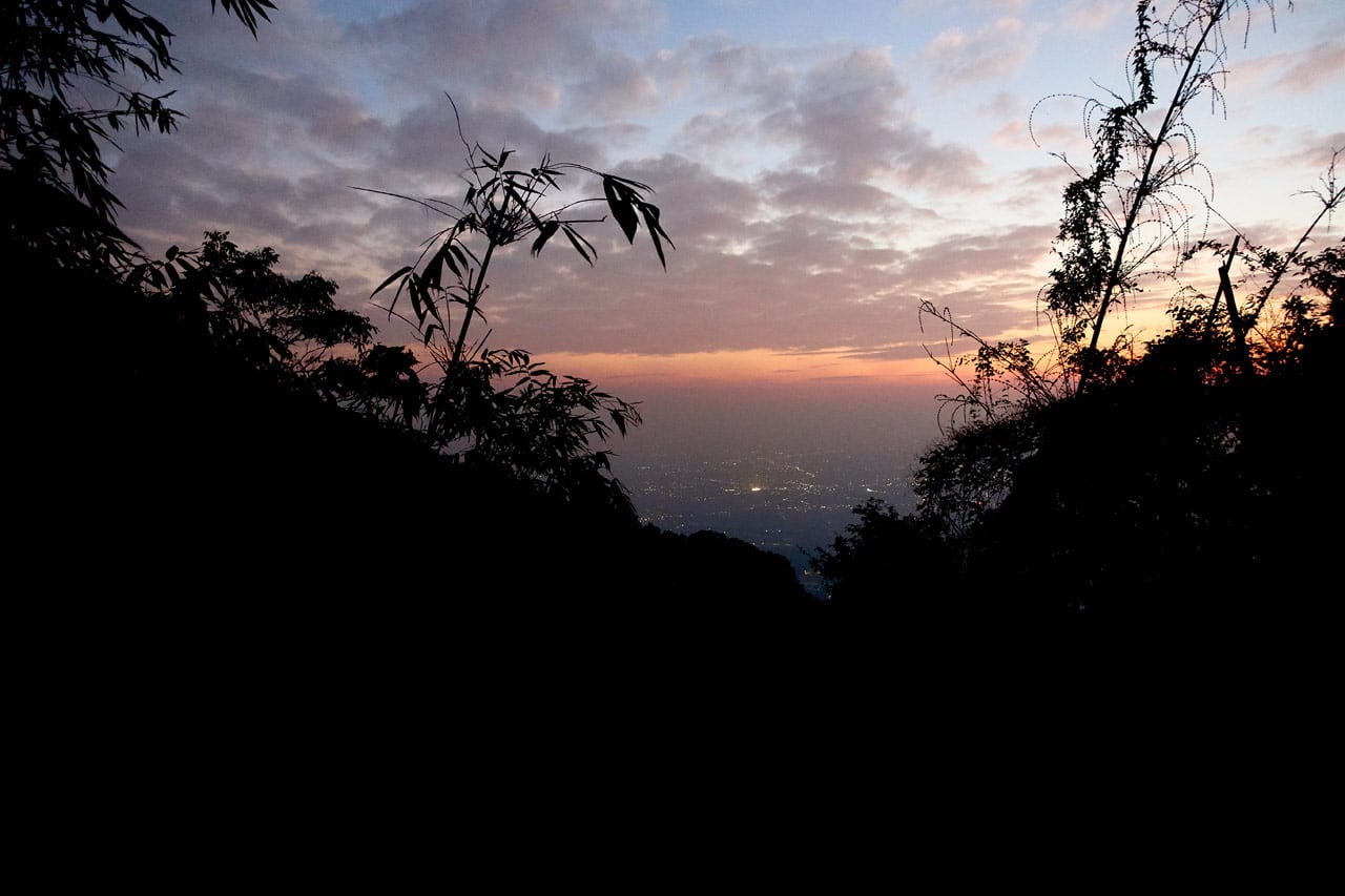
I drove up to my parking destination and passed a couple hikers. The views were already looking promising.
There were several signs to keep you going in the right direction.


It wasn’t long before I arrived at my ‘improvised parking lot’. The view from here was also nice.
This spot has some signs to read…


…and a stairway that goes up to a small pavilion with a great view of the area. Unfortunately it’s now closed off.

The pavilion was built right on the edge of a cliff. One of the past typhoons or heavy rains caused a landslide right beneath it. It’s as of yet untouched. But I don’t think it will be long before the pavilion falls down to the river below.
There’s nothing really stopping you from going up there though. Just be careful if you choose to go.
Here’s how it looked at the end of 2017.


The Long Road
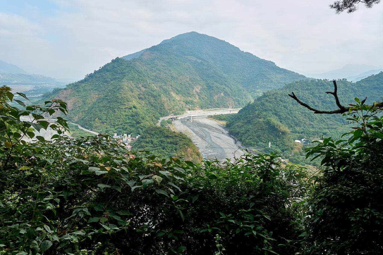
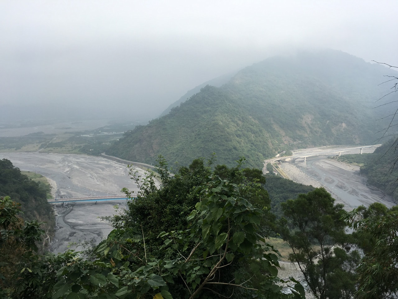
For the next thirty minutes I followed the road up. There were views here and there and plenty of signs to read or follow.


Even a monkey sat at the side of the road. Apparently they’re not scared of humans around here.

Up a ways further is a fenced-off house where a shortcut trail breaks off from the road.


From here you can either continue on the dirt road…

…or follow the trail that should cut a little distance off the hike. I chose this route.

I would also take this trail if I were you. It’s pretty. You can take the main road down on your way back.


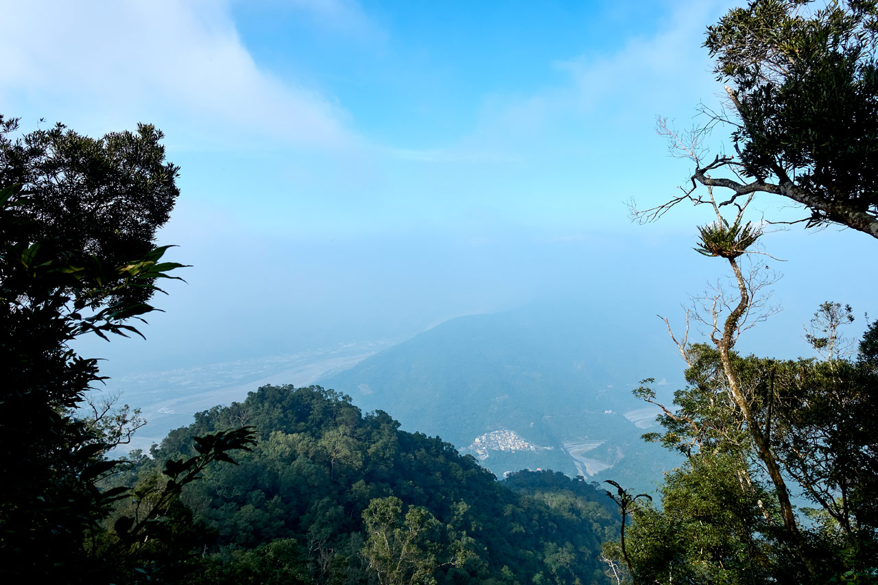
It wasn’t long before I was back on the dirt road and winding my way up the mountain. Again, there were more views and more signs, but now Maolin village was coming into view.

To be frank, I was getting bored with this road. Yes, there were places where a trail cut up to the next switchback, but by and large I was stuck on the road. This is when a tasty little diversion presented itself.

An Unexpected Surprise
There was a trail and rope off to the side of the road. It looked to be used very little, which piqued my interest. Of course I followed it.

At some point a fallen tree blocked the trail and I had to improvise a bit. But shortly after it connected back to this little side-trail.

Several twists and turns later, and me wondering where the heck I was going, I arrived at this sign. Everything instantly became clear.

This led to one of the lower peaks! In this case, the West peak.
From the sign it took a minute or two to reach the Weiliao West Peak – (尾寮山西峰).


There was nothing to see here except those signs on the trees and the triangulation stone itself. So I took my usual pictures and left.


A few minute’s hike up from here and I found myself at some kind of “claimed area” with a partial view.


I suppose a group of friends will hike up to this shady spot to spend the day.
Back to the Road
Looking at my GPS I could see that I was really close to the dirt road – and I was.
Next to this side trail to the west peak was this rock with an arrow and triangle painted on it.
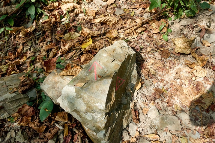
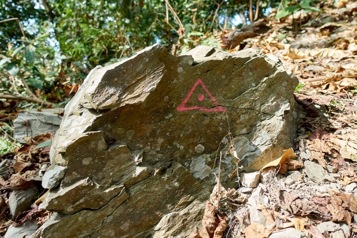
If you’d like to easily visit the west peak, this is the way to go. There’s no need for you to follow the trail with the ropes that I had taken.
A Small Shortcut
From here I was able to cut up to the next switchback via a somewhat steep trail.


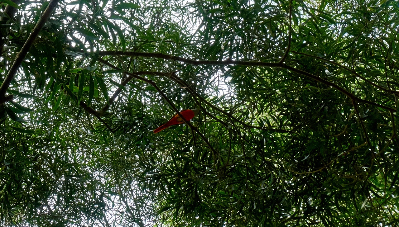
When I connected back to the road I heard some bird chatter in the distance. I thought this was a great time to practice my Collared Owlet call to see if I could attract some birds. I’m either getting better or this call works even when performed poorly. Because a lot of birds came to investigate. One of which was this Gray-chinned Minivet. My camera isn’t the best for nice bird pictures, but it’s better than nothing I suppose.
Finally, the Trail!
It wasn’t long after starting back on the road before I reached the trail. The real trail I mean – not another shortcut to the next switchback. The road had finally ended.

I was in for some steep hiking from here on out.

This first section was covered with thin bamboo trees. Thankfully the trail is clear of them. They can be a nightmare to navigate.


This “bamboo section” ends at a nice little rest area platform.

One thing I found that I like about this hike is the well thought out locations of its rest areas. Most are strategically located at the end of particularly tiring, steep uphill sections. This one was no exception.
There probably used to be a nice view here years ago, but the surrounding trees have blocked most of it.
There isn’t much else to see here except a few signs and this old stamping device.


WeiLiaoShan Northwest Peak (尾寮山西北峰) and Beyond
Shortly after the rest area I arrived at the Northwest peak. This peak was another surprise. Obviously I didn’t research this hike enough with all these extra peaks I was finding. I can’t complain though.

I took a few quick pictures and left. And no, there weren’t any views from this peak.


After a bit more uphill I came to another rest area – this one much nicer than the last.


This structure was obviously built here to allow you to get one last chance to rest before a particularly brutal uphill. In my case, it was the other way around. I found it really useful later in the day after I came down that section. More on that later.
I couldn’t have known I was about to begin–what seemed at the time–a seemingly never-ending set of disjointed stairs. But maybe deep down I suspected it, because I took a break here even though I didn’t really need one.
Some random pictures of this rest area.


Stairs, Stairs and More Stairs
I won’t get into detail about this next section other than to say it was filled with a billion stairs! It felt like they would never end. The majority looked like this.

This sign seemed a kind of joke. I was like, “Well, yeah. I have eyes. I can SEE it’s steep!” 😆

The trees in this area were pretty in places, but I found it difficult to enjoy much of anything when all I could think about were the stairs. Here they are in all their glory.


One thing that kept me going was my proximity to a side trail. A little over a year ago I had planned to hike a rarely used southern trail to reach Weiliao. It was much harder than I had anticipated, and I didn’t make it to the Weiliao peak. However, I did make it to the main Weiliao trail. And that was just ahead.
But first, I needed to finish up those darn stairs…

…and I did. The trail then became relatively flat and I was thankful for that.

This stone marker was hidden on the side of the trail. I’m not sure of its purpose.

I eventually arrived at the trail junction…(you can see the rope someone tied to prevent someone from accidentally following that trail)

…and tried to recreate the picture I took the previous year.


I didn’t quite get it right.
Almost There! (sorta)
From this spot the going was much easier. Heck…after all those stairs, most anything would be easier. 😆

According to this marker, the trail has been going for 7 kilometers already – most of which I had hiked.

And according to the map I was following there would be a rest area ahead. Right before the rest area was a side trail that had an unpleasant smell emanating from within. For some reason I followed it a short distance before seeing this sign.

Ah! A mountain ‘bathroom’. I didn’t need to investigate further. The smell was already strong and I could see “TP flowers” strewn about further up. *sigh*
I made my way back to the main trail and shortly thereafter arrived at the next rest area.

To my surprise, there were people there. An older couple were making food in the covered area and a couple a bit older than myself at the other end using a picnic table were just packing up to leave. Up until this point, I had only seen one hiker coming down. Being a weekday, I suppose I thought I would have the rest of the trail to myself.
Anyway, I sat near the older couple and took a break.

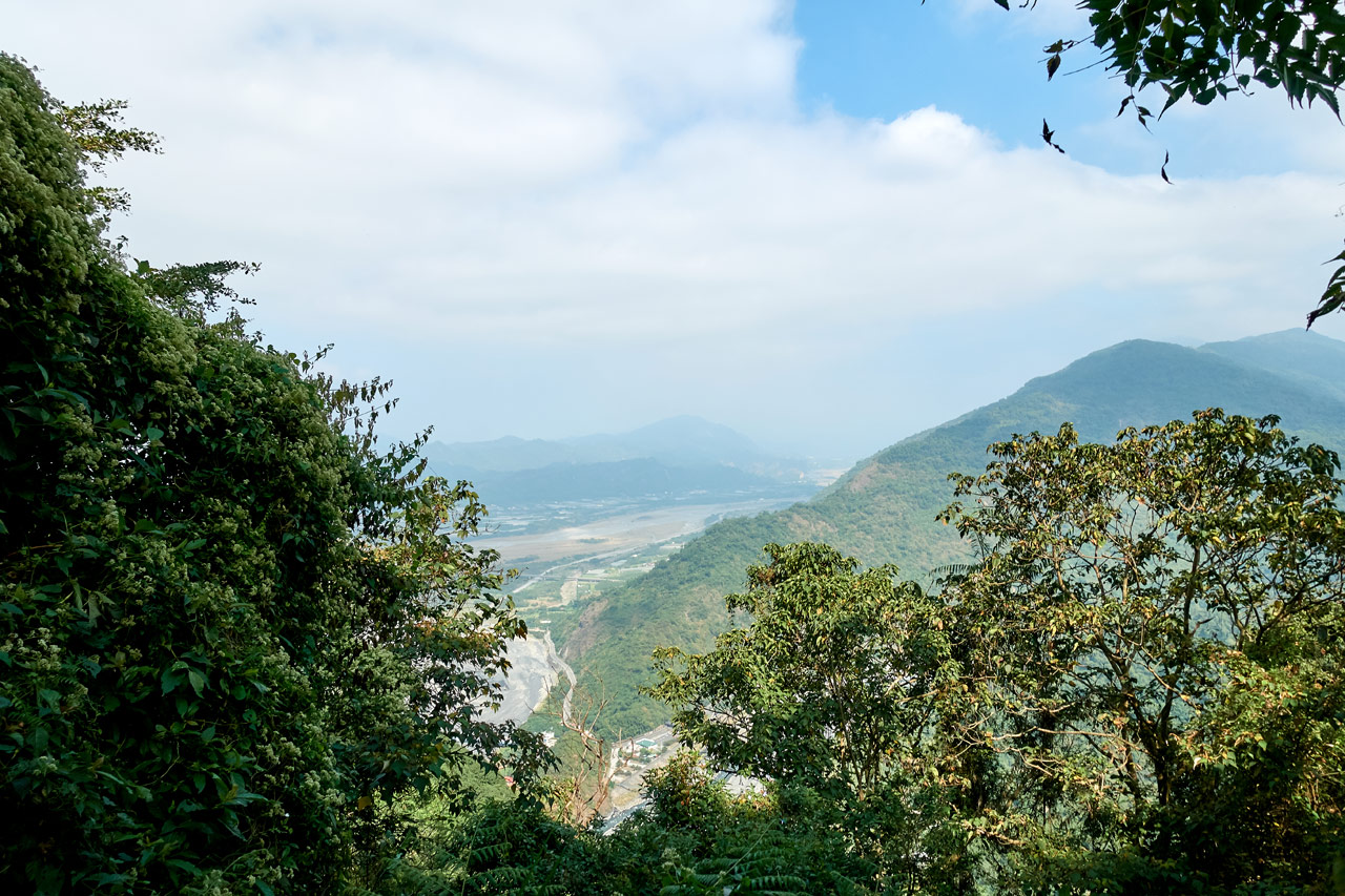
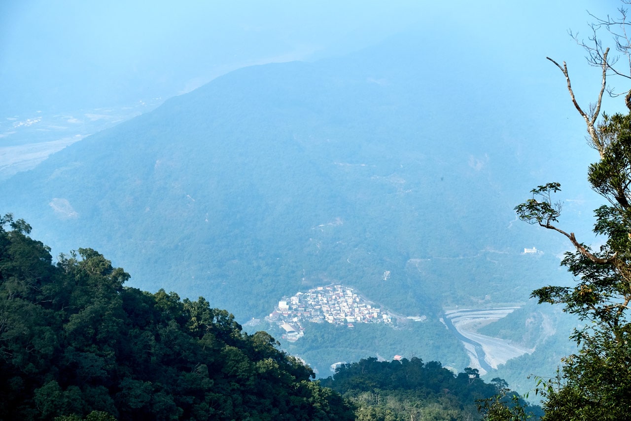
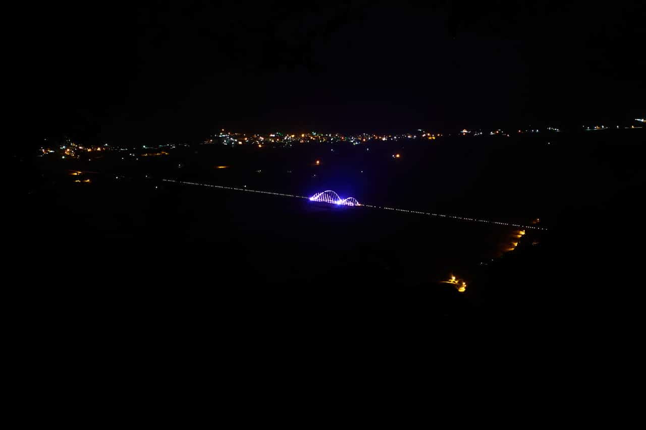
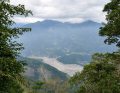
There’s a railing off to the side, which offers a view of Maolin village below.

It’s not much of a view.
I didn’t want to linger long, so I took a few pictures of the area and began the final leg of my hike.


Almost There!
What greeted me beyond the rest area was not what I wanted to see. MORE STAIRS!

With more than 250 meters of elevation gain between the rest area and the peak, I knew I’d be dealing with more stairs. But thinking about them and actually seeing them in front of you are two different things. There wasn’t any point in complaining (who would I complain TO anyway!?), so I continued up.

Somewhere along the way was this old marker with a note telling you not to go that way. Some old branches were stacked behind it to reinforce the idea. Considering the direction, I don’t know who would try to go that way.


After some more stairs I noticed what I thought must be a ledge up and to the left. I thought about pushing my way up through the ground cover to see if there was a view up there, but I had a hunch I wanted to test. I hiked a bit further and noticed a very light path going up. Yep! Others had the same idea.
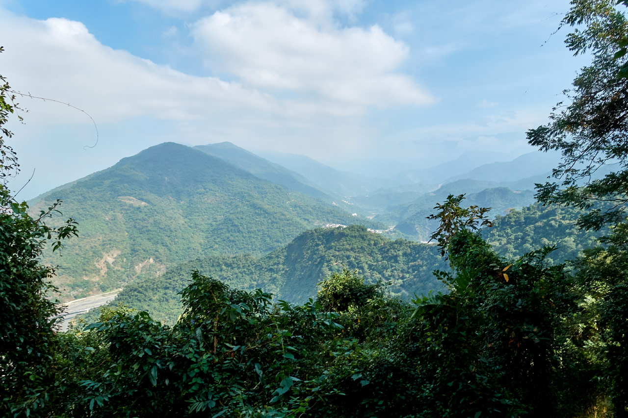
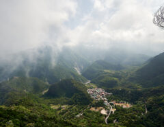
I followed the path and was rewarded with what I’d say is the best view of the whole hike.
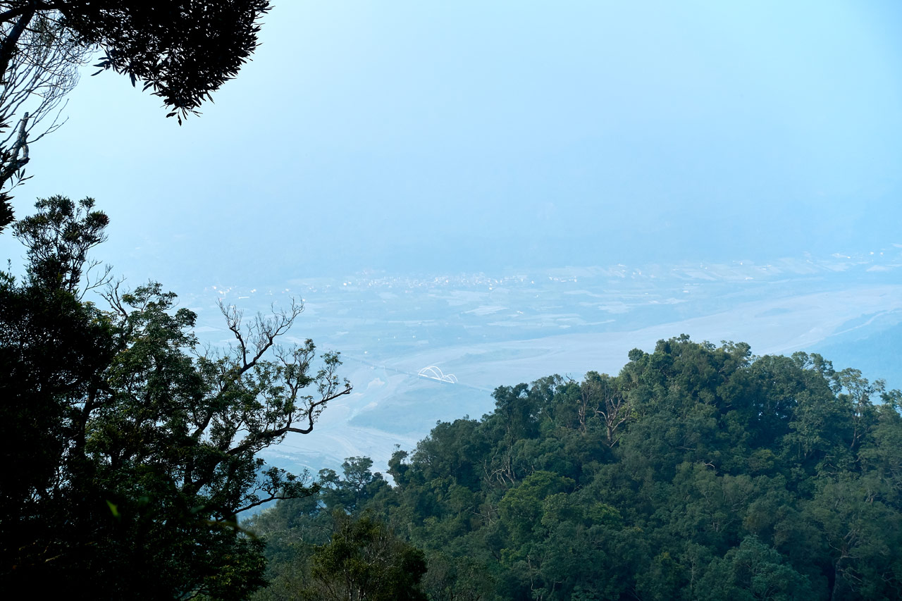
Ok, I didn’t say it was a GREAT view; it’s just the best view you’re going to get. You can see the ridge you just hiked up, Maolin village in the distance, and a small sliver of what used to be called Kaohsiung County. I think it’s kind of funny how the best view isn’t one purposely built by the government. But rather, a somewhat hidden little spot off trail.
One Last Rest Area
The next kilometer wasn’t so bad. It looked more or less like this.

There were some stairs but they weren’t that bad. There were a few more signs and this fallen tree to look at.


One sign of particular interest to me was this one explaining about a particular breed of “hell spike” as I call them.

Good info to know if you ask me.
According to my GPS I was really close to the peak. I could see in the distance some more stairs (well of course!) but I ignored them to go look at this open area off to the side.

Being located so close to the peak, I was a little surprised to find this area. Why stop and waste time here when you can hike a few more minutes and rest at the peak? But then again, I’m thinking about it from a weekday perspective. Maybe it gets busy on the weekends and the peak gets full. This could be a kind of “overflow” area.

At any rate, I wasn’t staying. I turned back and silently cursed at the last curve-ball this crappy hike was throwing at me.

Why or why did there have to be MORE stairs? Hahaha..it wasn’t really that bad. But you’ll understand when you get to this point in the hike, trust me. 😉
And I guess it doesn’t matter. Because all of that will be forgotten the moment you turn a corner and get your first view of the peak.
WeiLiaoShan 尾寮山 Peak
Yes! I made it!

It was a little anticlimactic for me since I had already been there once before via the back trail. But it was still nice to finally arrive. And even nicer to see that nobody else was here.
I spent a good hour resting and eating.

There is no view at the top, but you can hear sounds of civilization on one side.
I quickly took photos of whatever I found up there.


If this thermometer was accurate, then it was a perfect temperature up there.

Since I had been up here before and taken my peak pictures, I decided to try some ‘unusual poses’. 😆


What can I say? This is why I hike alone. I’m an idiot. 😎
However, I’m not one with thick skin. Luckily I finished my silliness just before the older couple I passed earlier showed up. Hahaha…
They didn’t stay long though. I helped them take some pictures and had a short chat with the husband. They left right after.
I figured it would take me about three hours to hike back to my bike. If I left a bit after 3pm I’d easily be on the road section of the hike when dark set in. So I wasn’t in any real hurry. Had I known what was to come next, I may have left ealier.
The Hike Down
The moment my foot hit the bottom of the first stair I knew I was in for a miserable hike down. I could feel a similar pain in my right leg just below the knee like I had at the end of my last hike to ZuMuShan – 足母山. It wasn’t bad at that moment, but I knew it wouldn’t be long before I was limping badly. But whatever, I had no choice but to keep going.

The thought of all those steps was something I was trying to remove from my mind. Steep grades were painful enough as I remembered, but going down stairs were much, much worse.

I took it easy and eventually made it to the first rest area on the return trip.

Short Rest and New Method
My leg was already at a painful stage, so I took a bit of a rest here. When I got moving again, my leg was feeling slightly better, but I knew it would be hurting again sooner or later. So I experimented with a different type of hiking style.
I carry one hiking pole in my right hand. Because of that, I tend to lead with my left foot when going down steps or steep grades, as I can shift some of the weight to my right arm that’s holding the pole. This puts all of the rest of my weight on my right leg before my left foot hits the ground. I must have been overusing my right leg for some time now – probably what caused what I now know was a shin splint. So I switched the pole to my left hand and led with my right leg. This actually worked!
I had a LOT of steps ahead of me, but this method was the least painful.

Unfortunately it was also slow. Step, stop, step, stop, step, stop instead of step, step, step, step. But it was what it was.
Pain is the Name of the Game
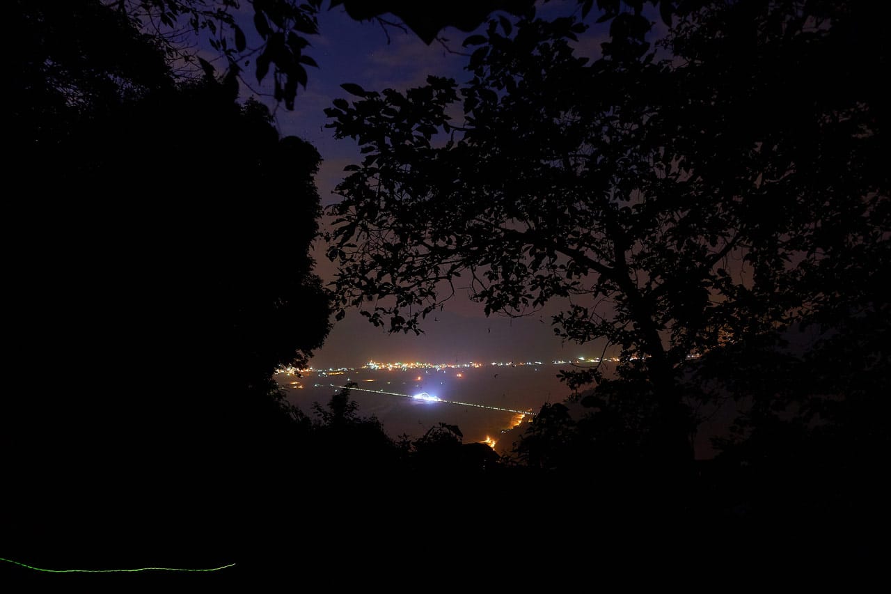
For the next two hours I hiked down the mountain. I have no pictures from this part of the hike, partially because I took so many on the way up, and partially because I was in so much pain. I stopped for breaks wherever I could, and finally chose to stop at a rest area I had missed earlier in the day when I left the trail to get to the west peak. That seemed like such a long time ago.
It was nearly dark when I arrived, and fully black halfway through my break. I took advantage of the time to get a few night shots. They’re nothing spectacular, but thought I’d share them since I have little else to show.

The Final Push Down
I only rested there about twenty minutes; I easily could have stayed an hour. But I had to keep moving. My leg wasn’t feeling any better. However, I was on the dirt road now and that helped a lot.
It took me over an hour to hike back to my bike, pain the whole way. There was only one point of interest over that entire section. At about the halfway mark I heard some movement off to my right. I looked over and saw a muntjac standing there looking confused.
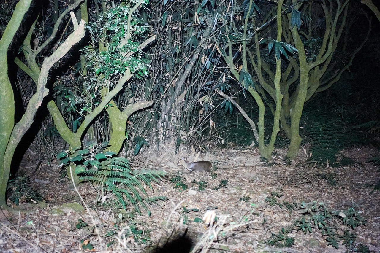
I stood there staring at it for a few minutes. It had no idea where I was. I guess my head lamp turning night into day confused it. Even with my bluetooth speaker playing at a low volume, it still hadn’t the slightest clue where I was located. I tried moving my light left and right, but it still stood frozen.
Here’s a short video. At the end I shuffled my feet on purpose thinking the sound might make it run – and it did.
That’s pretty much the end of my story. I made it to my bike, changed, and drove home. After this hike I decided to take a couple weeks off to give my leg a chance to heal. Let’s just say, that wasn’t quite enough. More on that next post.
Why I Don’t Like Weiliaoshan
Let me first say that I don’t HATE this hike. I just don’t like it. But why?
Well, the first half…heck, MORE than half…is on a dirt road. Sure, there are a few places that break away from the road for a short time, but for the majority of it you are stuck on a road. If I wanted to hike a couple hours on a dirt road in the mountains, I can think of plenty of other roads with much nicer views to hike. The whole time I was on that road I kept thinking, “Why didn’t I just ride my bike?” Because you certainly CAN ride a motorcycle the entire length of that road.
How about the second half, surely that part was much better? Yes, it was. But it still wasn’t great. It was just a bunch of stairs – endless sections of stairs! And no real decent views to speak of. Sure, there were a couple nice areas of pretty trees, but those don’t make up for the rest of it.
In the end, a Facebook friend summed up the hike perfectly: “This is one of the most overrated trails out there. It is very good for training, but not much else.“
I wholeheartedly concur.
Date hiked: 2019 November 21
GPX Track Download Instructions: Click the track on the map to see the download link

![[Valid RSS]](https://outrecording.b-cdn.net/wp-content/uploads/2020/03/valid-rss-rogers.png.webp)
I hate this hike. But, I do it once every few years for Top 100 peaks training.
It definitely would be a good hike for training. Another is Tianliangjingshan 田良井山 in Sandimen if you haven’t tried it yet. Slightly more dangerous in one place, but a better hike overall IMO.
Happened to chance upon this article.
What I didn’t like — feeling the pain in your feet as you described and the worst part having it almost at the start of descent ….OUCH 😟
What I liked — oh those really SILLY victory poses at the peak, I will certainly be copying them 👍
THANK YOU for your honesty … I certainly will not be travelling all the way from S’pore to climb this ✌️. PS — don’t tell that to your mechanic 🤫
Hahaha..thank you for reading through all of it – and from Singapore no less! Honestly, I’m not sure why this peak is so popular. Sure, it’s easy to get to the trail head and the government has built it up so most any able-bodied person can hike it…but it’s just not all that interesting of a hike. As a few friends have told me: it’s a good hike to strap on your big pack to train for an upcoming higher mountain hike. That and it’s apparently suitable for trail runners. But all that doesn’t apply to 99.9% of the hikers there. So I really don’t know…