Sandishan is located in Sandimen 三地門, Pingtung. I was looking to do an easier hike after a rather tough hike the weekend prior. The hike to Sandishan fit the bill, but unfortunately my decision to hike further on to Dewenshan 德文山 turned an easy hike into something much different.
Getting to the Sandishan trail head is pretty simple. About a kilometer after leaving the village of Sandimen there’s a road on the left. A car can make it most of the way; a motorcycle can make it right up to the trail head. It’s a nice well-worn trail, and chances are you’ll encounter someone along the way.
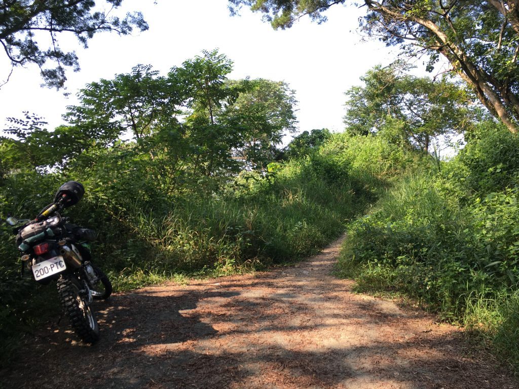
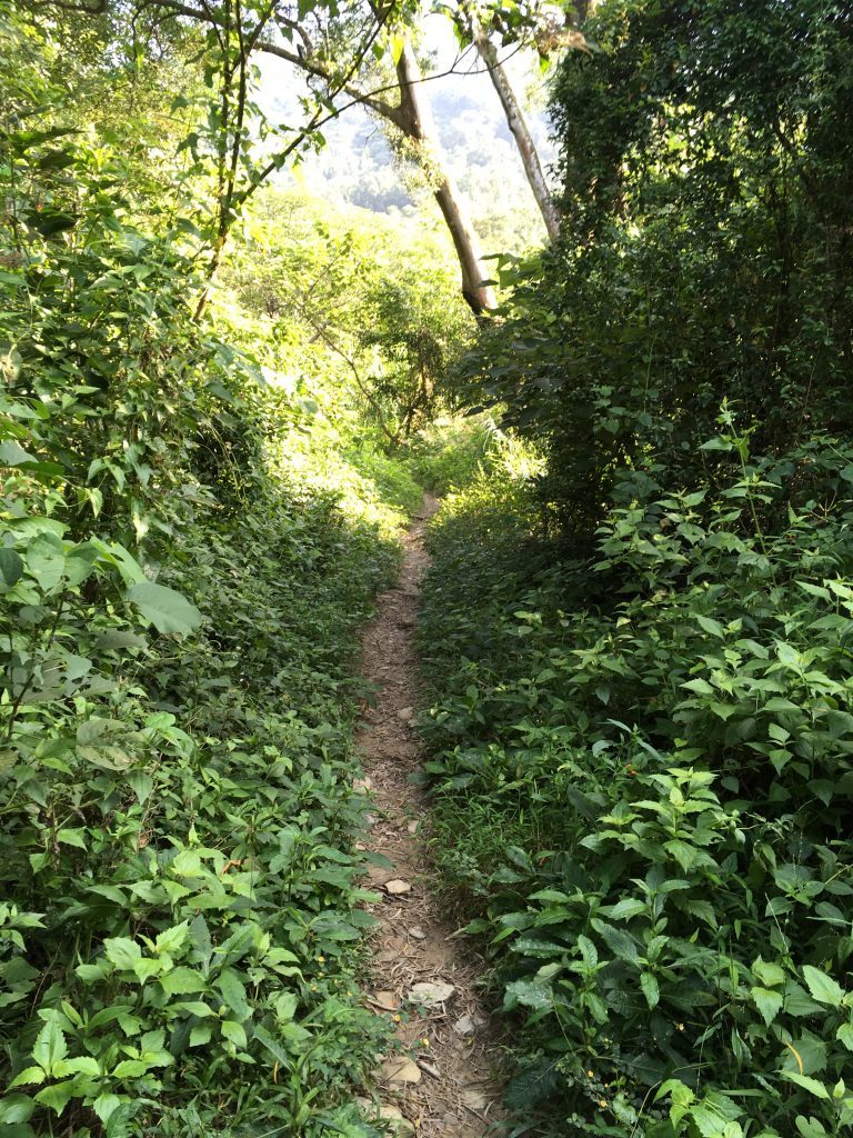
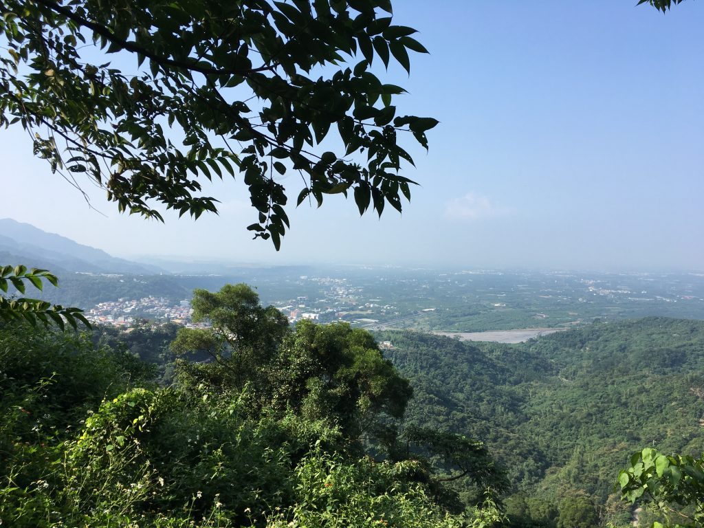
Right off the bat I had a nice view of the city below. This was before stepping one foot on the trail.
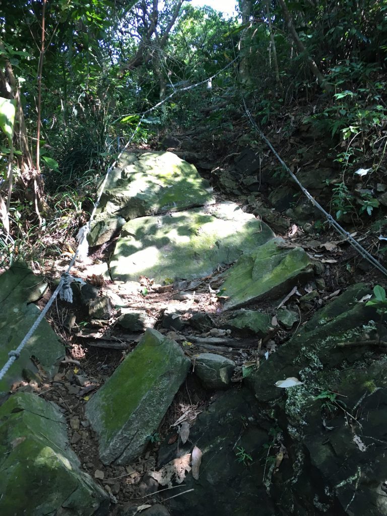
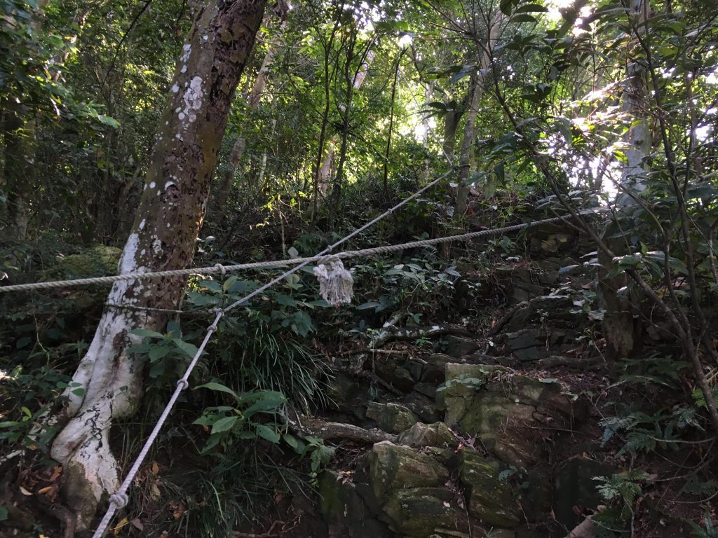
The trail up was complete with hiking aids. Like ropes…
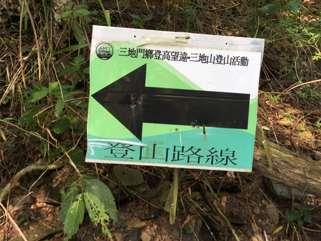
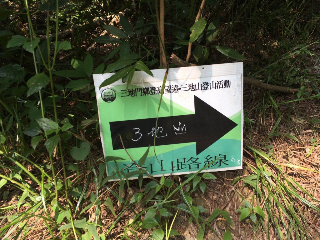
…signs…
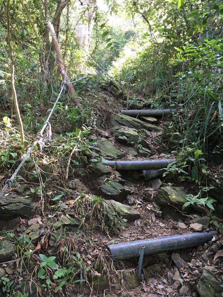
…steps…
…and several places to take a break along the way.
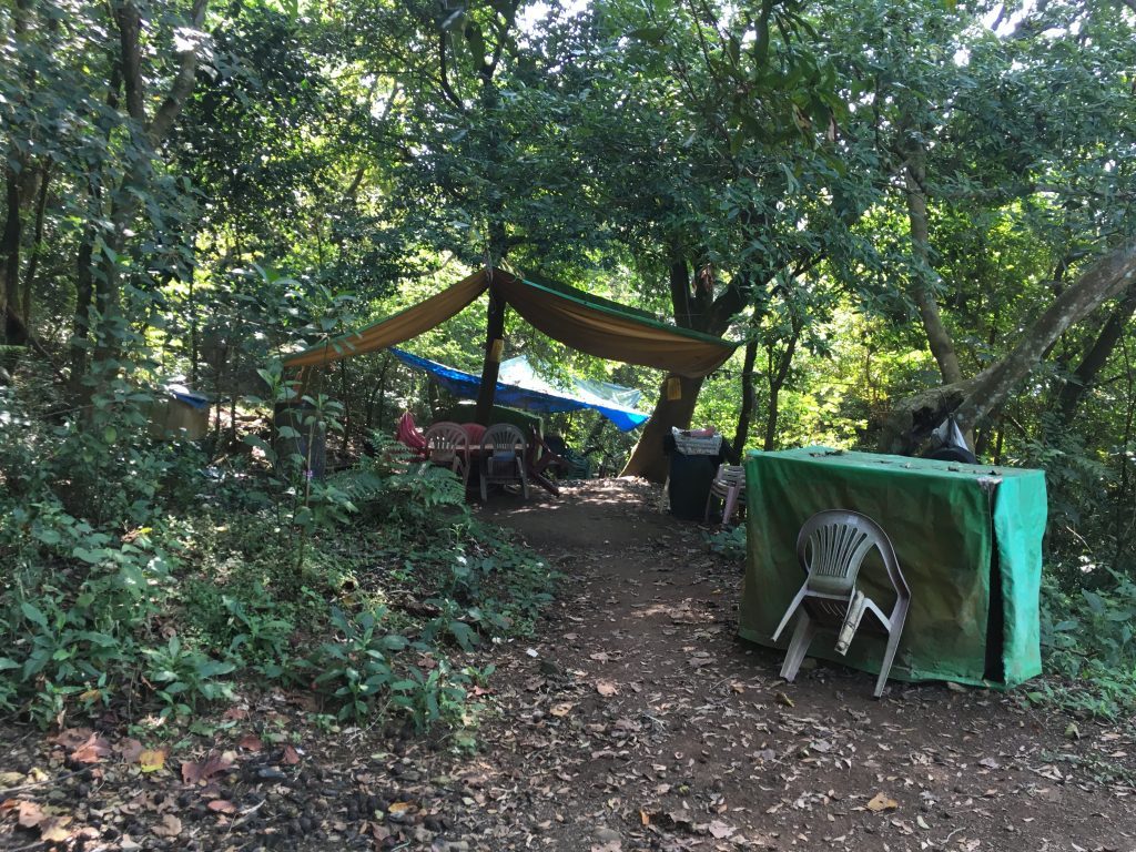

I met a nice couple at the first “rest area” that informed me how many meters to the first peak, Sandishan south peak 三地山南峰 and the main peak. I mentioned I was planning to hike to Dewenshan and they said it should be “difficult to hike”. Considering how easy the trail had been so far, I didn’t take much stock in their warning. Heck, most trails I hike are difficult. 🙂
It took me about an hour to hike to the south peak. The views were nice but the weather wasn’t clear unfortunately.
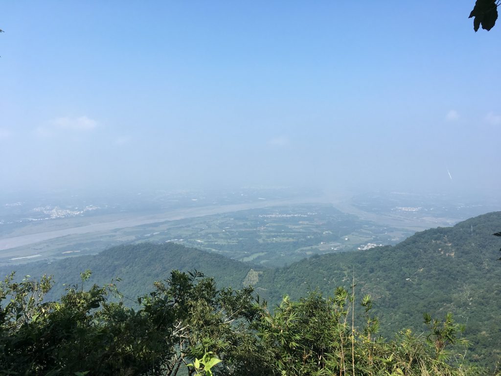
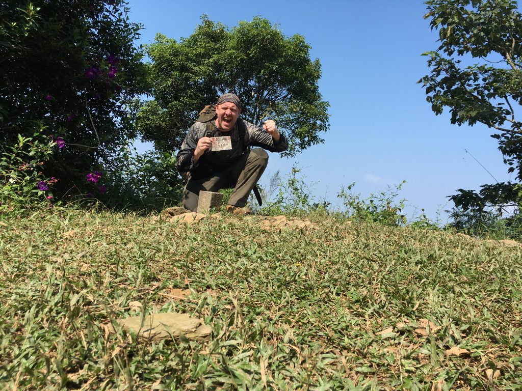
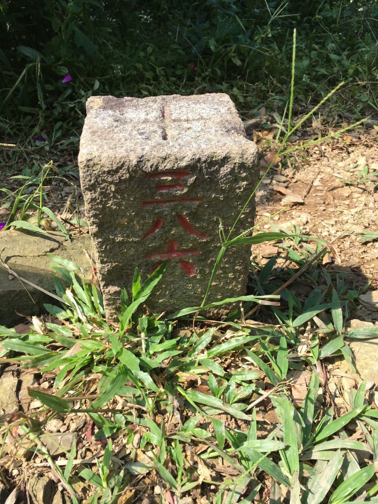
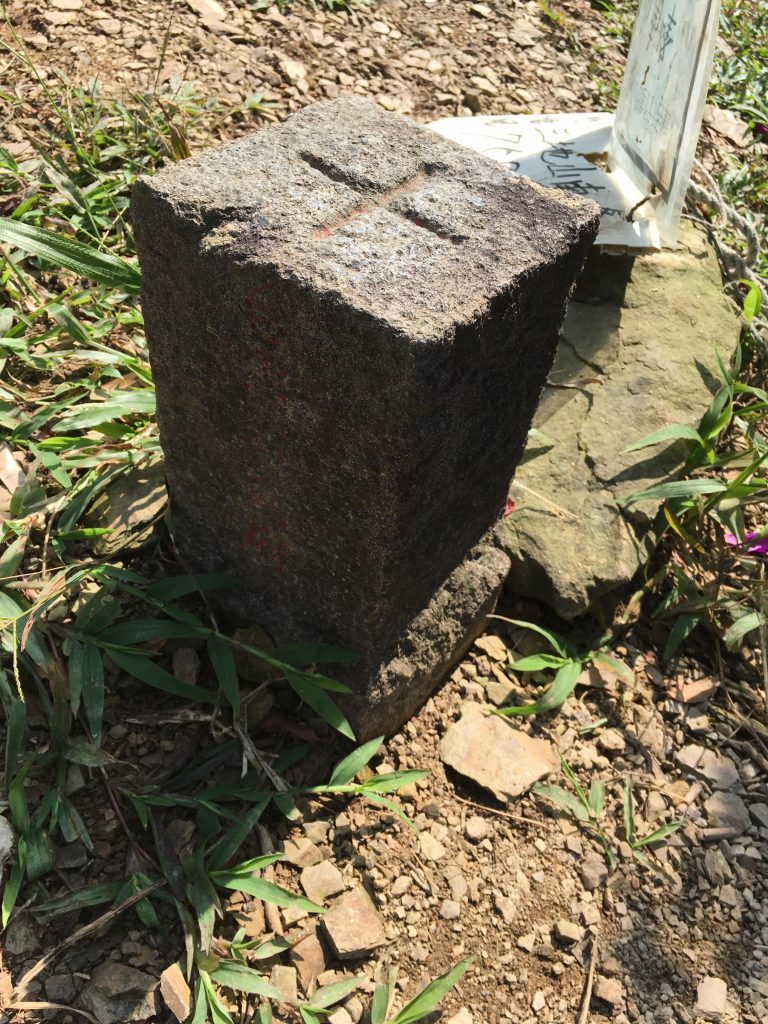
From the south peak to the main peak it took me another two hours. Trail conditions were similar as before, but occasionally got a little bit “wilder”.
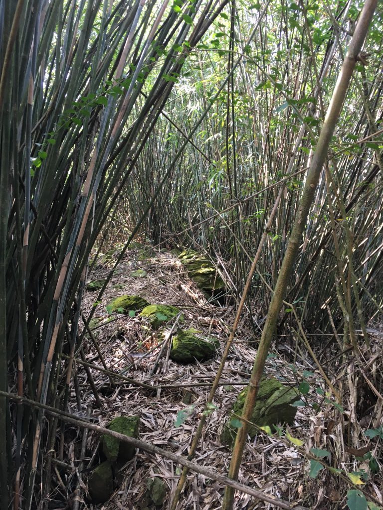
But it wasn’t really a big deal. Any fit person can easily navigate it.
Getting closer to the peak I noticed some power lines.
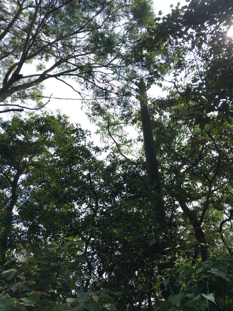
This was followed by what appeared to be an old road.
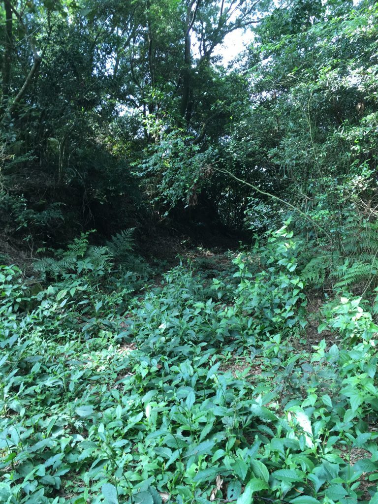
I figured there must be some communications tower up ahead. And I was right.
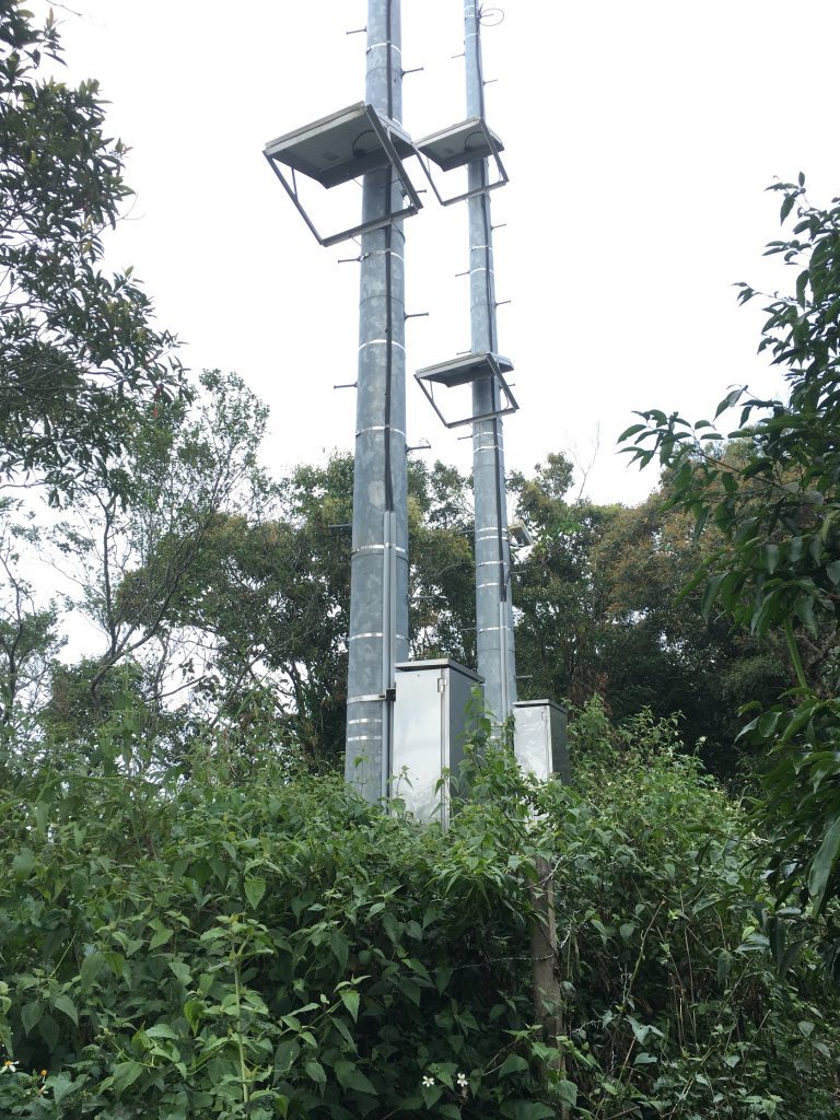
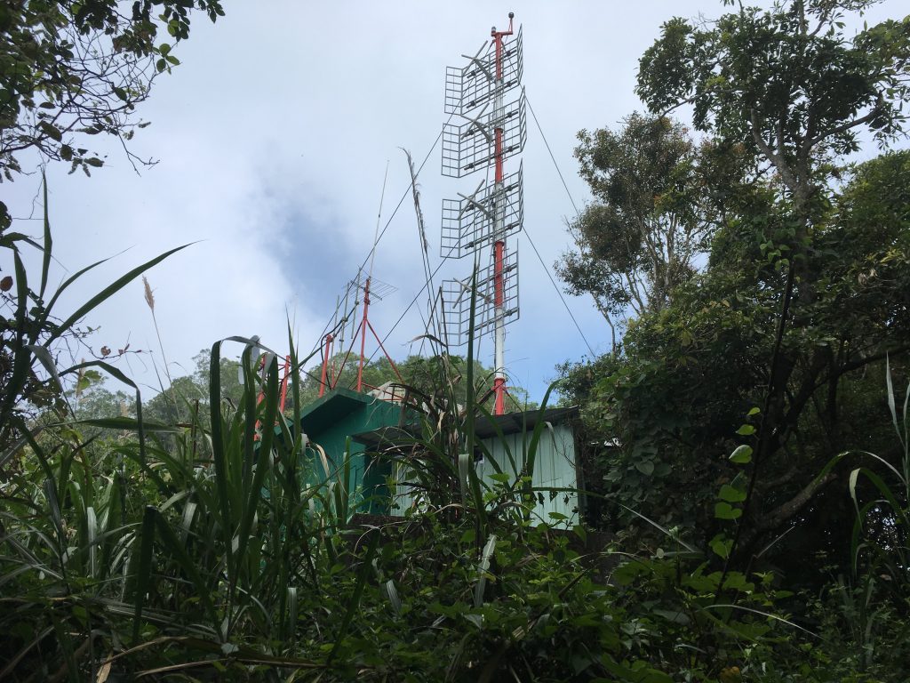
From the AC humming inside, it’s definitely still in use.
On the other side of the tower was what appeared to be another road.
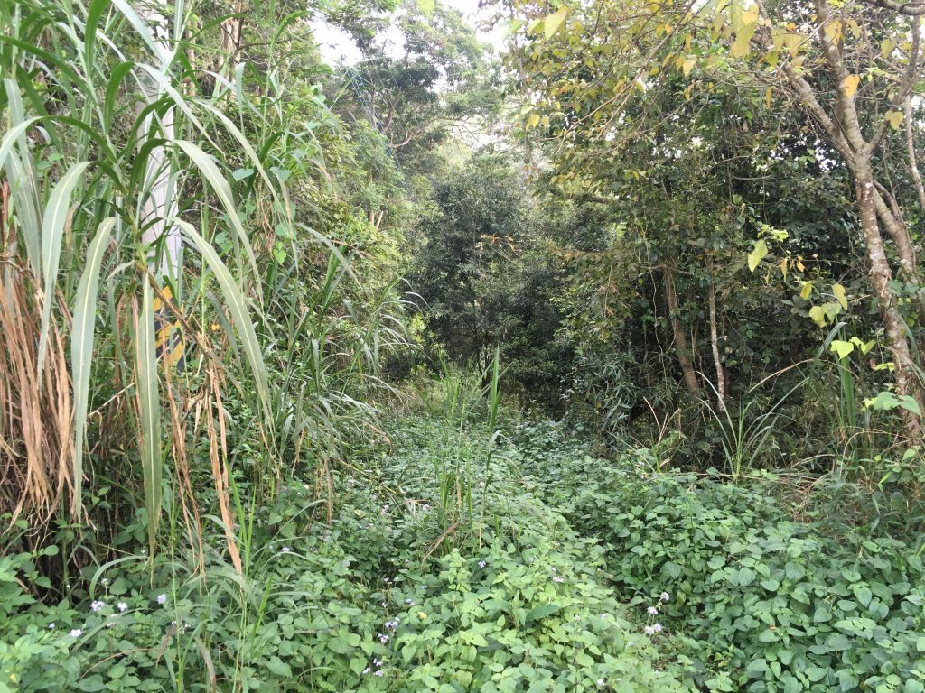
Looking at Google maps, it looks like there’s a road that comes up from a farm below. No doubt it’s sometimes used to bring up equipment or whoever is in charge of maintaining this tower.
Not long after the tower I came to the main peak.
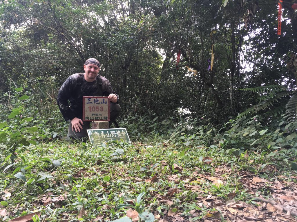
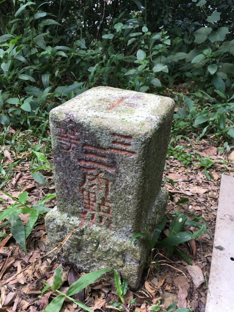
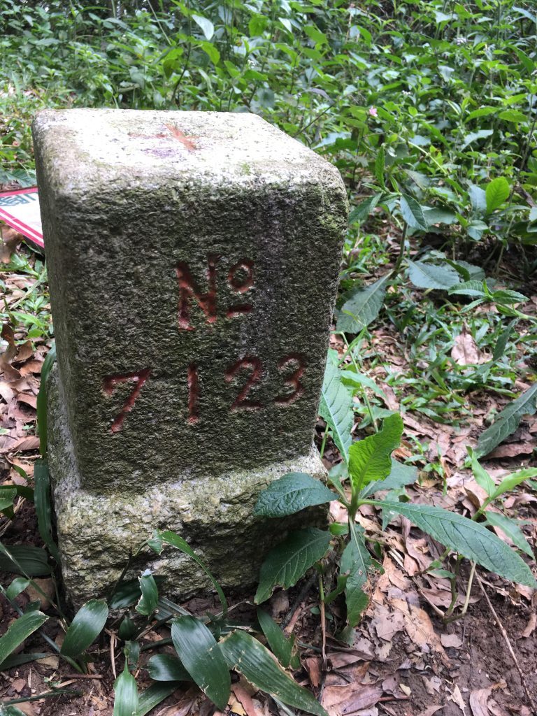
It was a relatively tame hike up til that point. I would suggest anyone in decent physical shape to give it a try.
Dewenshan Trail
After a nice little break and some lunch, I went on to follow the ridge to Dewenshan. While leaving Sandishan I saw this “thing” that I hadn’t noticed on the way up. I’m real curious what it’s used for.
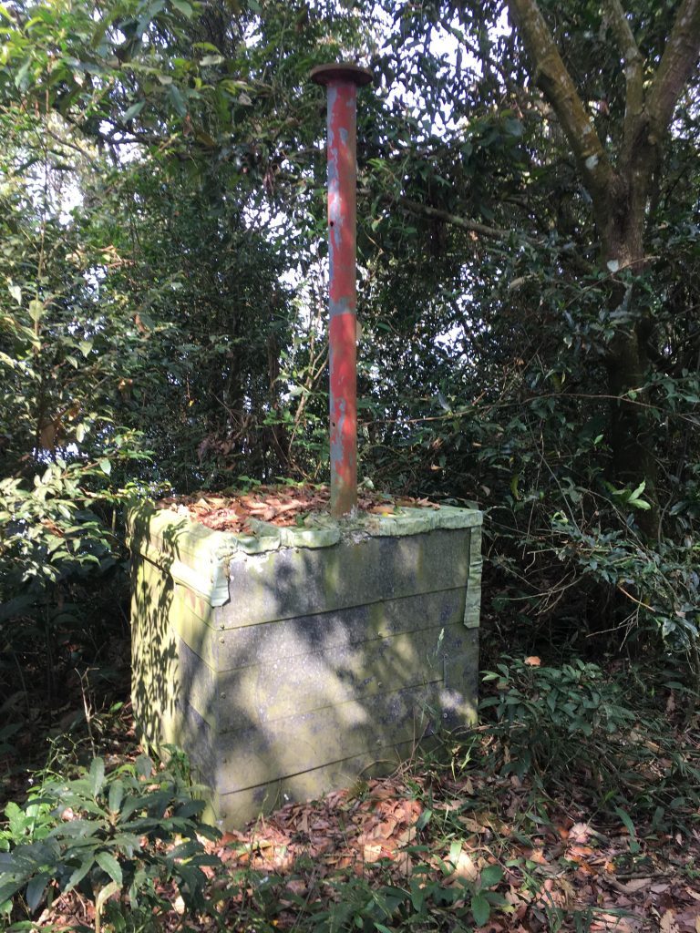
As soon as I left the Sandishan trail and stepped onto the trail to Dewenshan, conditions changed drastically. There were no more ropes, steps, signs or any type of hiking aids except the occasional marker ribbon. I honestly should have taken that as a clue and turned around. Remember, I was looking to do an easy hike. The beginning looked like this:
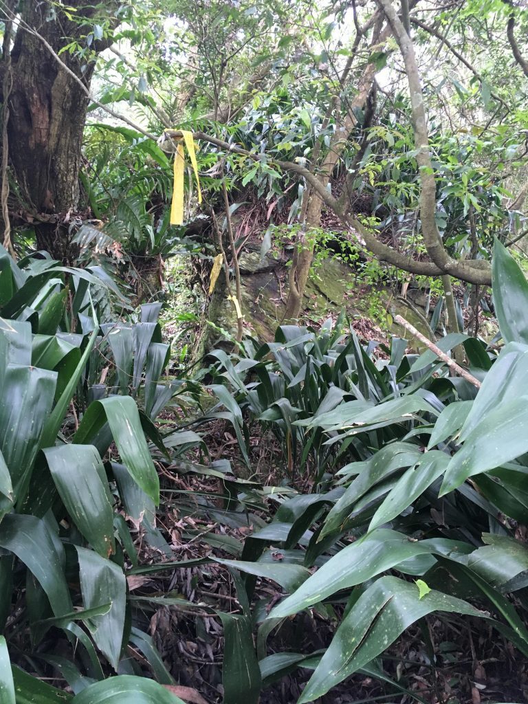
If you’ve read any of my hiking blog posts, you might have gathered that I’m a little bull headed. Once I get something into my head I just push through and do it. This trail didn’t look so bad compared to some I have hiked; and I was keeping pace with the GPX track I was following, so I felt it wouldn’t be so bad.
Well…it started out decent enough. Some rocks to weave through and an easy enough path to follow.
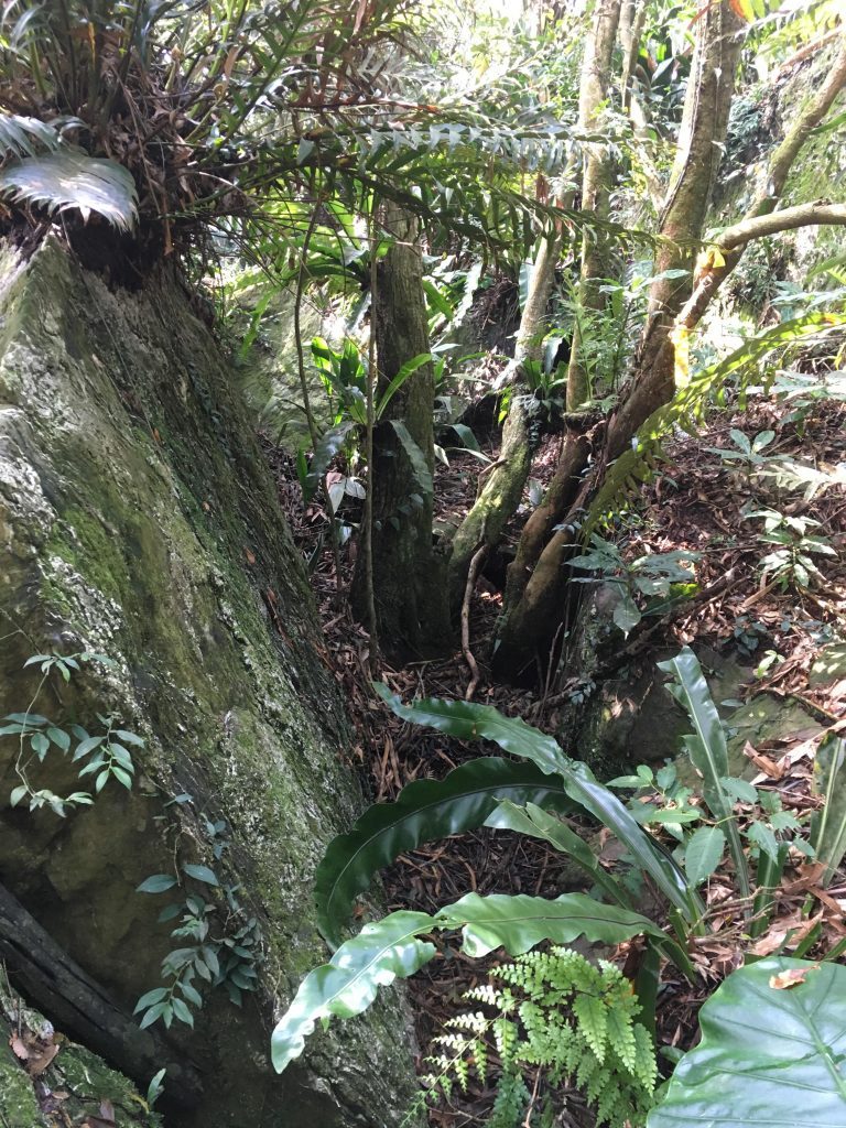
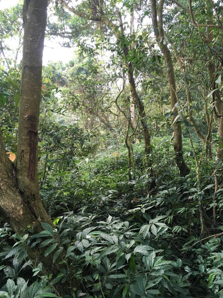
But there were a couple sections of overgrowth and no marker ribbons to follow.
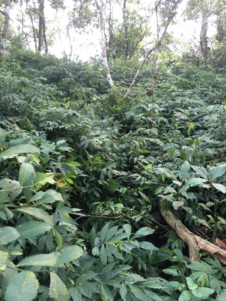
I had considered not taking my machete with me since I thought this would be an easy one. Glad I chose to bring it. There was some bushwhacking that needed to be done here and there. And just when things started looking bleak, the path ran right into this trail.
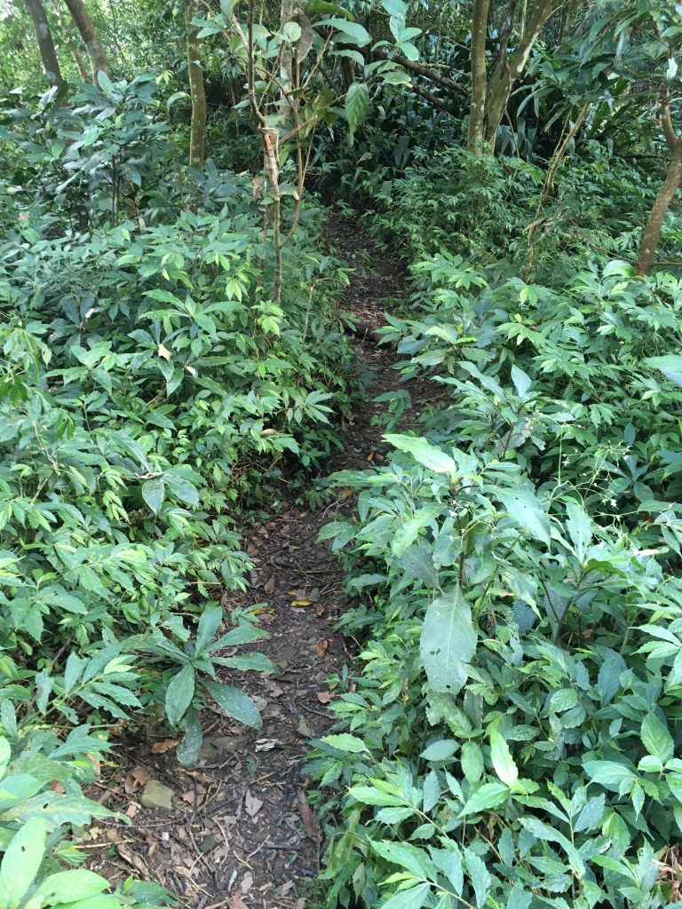
This was a well used trail and I had no clue where it came from. But I was happy as a clam that it was there. It made things WAY easier for a short stretch. (see below on my thoughts about what this trail is used for)
Now…to my absolute shock, this trail led directly to this mountain road.
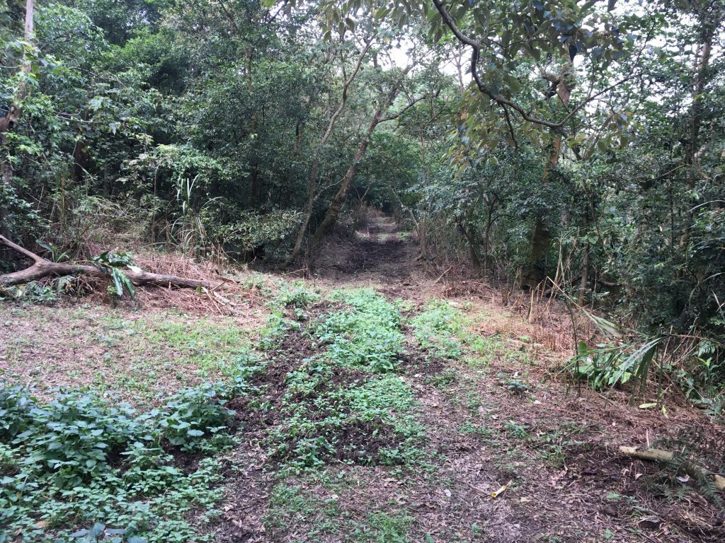
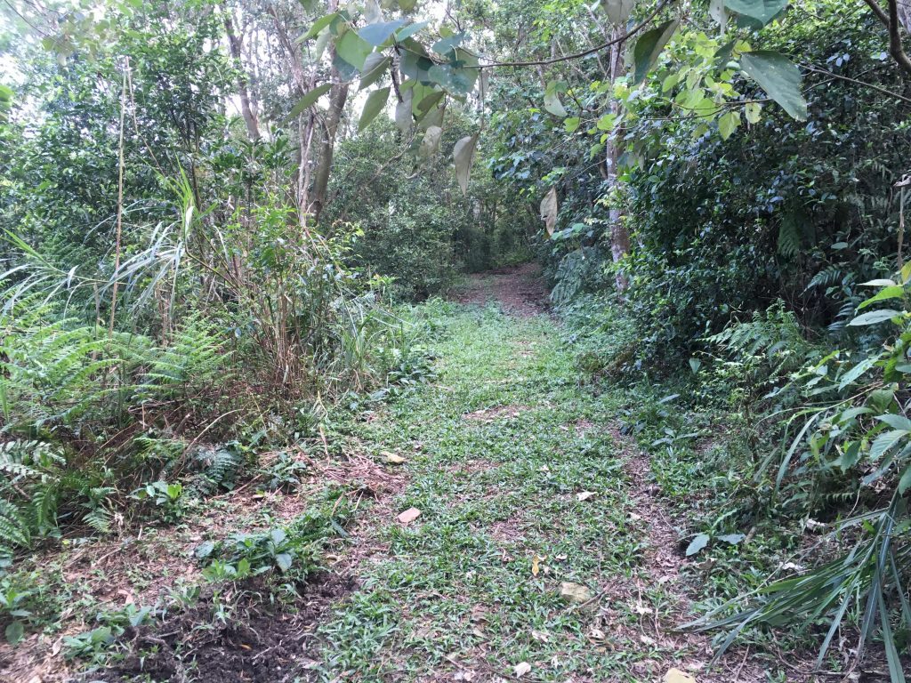
I followed the road for maybe ten minutes until the Dewenshan trail broke off to the right.
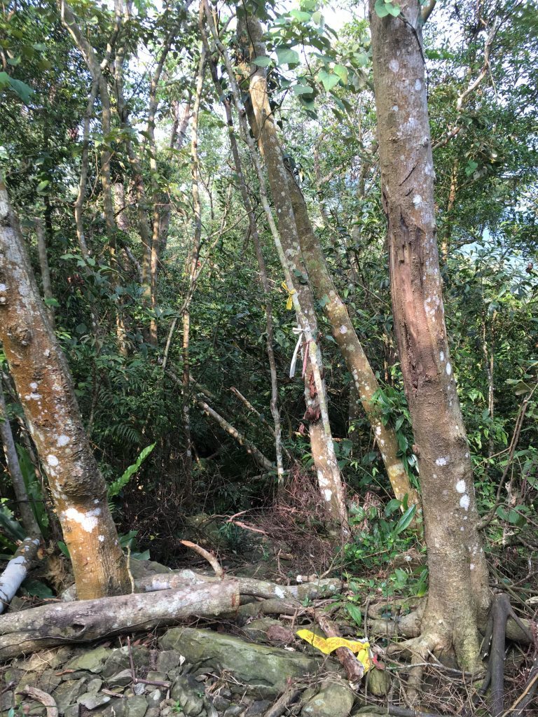
The road continued on. I would like to go back there on my bike one day to see where it leads. There’s a trail on the other side of the mountain I have ridden, and an abandoned house and farm that’s pretty close to where this road could lead. I’m real curious of these link up.
Not long after returning to the trail I came to a “perfect spot” to sit and relax. The trail leads to the edge of the ridge that offers what must be a spectacular view of the river and mountains to the north. As my luck would have it, the weather still wasn’t playing nice. Regardless, the view was nice and there was plenty of wind to cool me off.
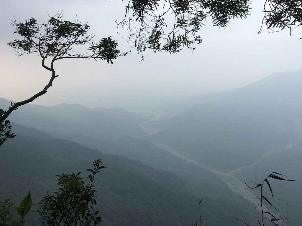
As a bonus, there’s a “perfect” rock for sitting, right there on the edge.
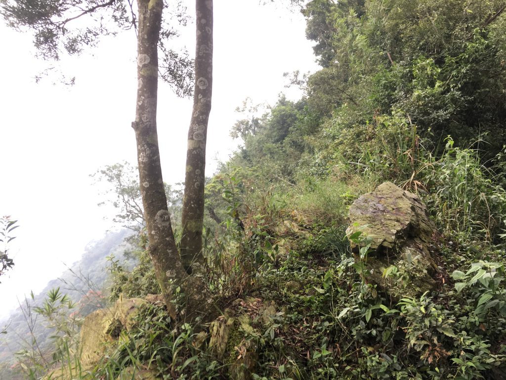
I would have thought someone had put that rock there if it weren’t impossible given the location. This spot was probably the highlight of the hike.
If that was the highlight, then next came the “lowlight”…
As I pushed on, the weather started to change. Clouds rolled in and it began sprinkling a bit. The canopy kept me from getting wet, but I feared it would pick up. I continued on and came across a lot of bamboo.
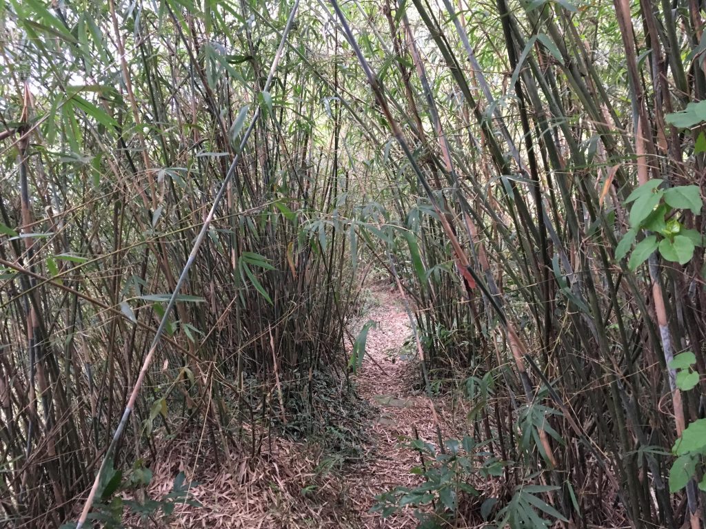
Then the rain picked up right about when I was getting to a bad spot. I was on a slope of mixed larger rocks, dirt and some kind of flowery plants with stickers that were all over the place. I hadn’t seen a marker ribbon in 20 minutes. The GPX track I was following didn’t make any sense given the terrain. There was no trail to follow. So I made my own…but the going was slow and tough.
At one point I looked over and saw a black-furred animal. It startled the heck out of me! It was less than thirty meters away, standing on a large rock and looking out towards the mountains. It was a black mountain goat. First one I’ve ever seen! I didn’t have time to snap a picture though. It turned to look at me, gave a cursory glance, and slowly walked away.
A few minutes later I was stepping between a couple large boulders and my foot broke through and I started falling down within. My feet never hit bottom. Luckily the water bottle attached to the back of my equipment belt wedged up between me and the boulder and helped stop my fall. Whew! I don’t know how far it went down, but I’m glad I didn’t find out.
Not long after that it started pouring rain. This is why I don’t have any more pictures to show. I wasn’t about to take out my phone in the rain.
Given the rain and lack of a trail, I didn’t like my odds of making it to Dewenshan before dark. My choices were either a LOOOOOONG hike back to my bike–most of it in the dark–or continue ahead and hope I could find the trail again and pray conditions were good enough to make it to Dewenshan. Except, I had a THIRD option. The road!
I had no idea where that road would lead, but figured it probably came out to someone’s farm. This option seemed the best, so I turned around and hiked back to the road.
It was dark before I made it to the road, but I had plenty of light. Thankfully the rain had stopped. On my way down I encountered a type of animal trap I had yet to see.
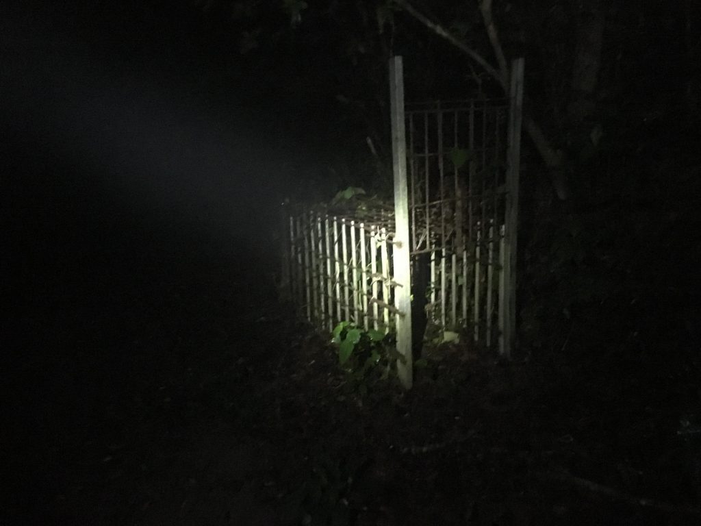
It was a little creepy to see that on some dirt road leading to who-knows-where in the middle of the night. 🙂
After a good thirty minutes or so I saw a light. By then I had already consulted google maps and was pretty sure this road would lead to a farm. It did. But as I approached, a large dog stood between me and the farm house, barking crazily. I kept my (very bright) flashlight shined in it’s eyes hoping it would keep it at bay long enough for the owner to come out. I only prayed the owner was home! Thankfully he was. He came out and chained up his dog. But now I worried that he woudn’t be in a good mood. I mean, here was was coming out of the mountains in the middle of the night disturbing him. Also, I’m sure that road is his road and I was technically trespassing.
Well, I had nothing to worry about. He was a really nice guy. We chatted about what I was doing there and he told me I could follow the road down to the main road. But…it would take about 45 minutes to walk it. I wasn’t about to ask him for a ride, so we bid farewell and I went on my way.
I made it to the main road, which came out right next to the Sandimen police checkpoint. My ride was waiting for me and my hike was over.
The next day I found that this guy runs a restaurant/coffee shop up there. He also takes people out on small hikes to cut large bamboo from the local trees. My guess is that he uses that trail I found above; the one that led to the dirt road. Given the location of the trail, I can’t see any other reason why it would be so well used. There’s just nothing else around there. One day I’ll go back and find out.
Date Hiked: 2018 Oct 25
GPX Track Download Instructions: Click the track on the map to see the download link



![[Valid RSS]](https://outrecording.b-cdn.net/wp-content/uploads/2020/03/valid-rss-rogers.png)
Leave a Reply