

With my leg giving me some problems the last hike, I wanted to try something easier this time; a trail with either little elevation gain or a gradual gain over a long distance. This led me to FanLiShan – 蕃里山.
FanLiShan was previously off limits; though it seems that didn’t stop anyone from climbing past the simple rolling gate at the entrance.

Later I found out through a Google Map review that you could enter unimpeded – or at least it appeared that way. This is likely due to the recent lifting of access restrictions on many of Taiwan’s mountains. But since I wasn’t 100% sure, I drove out there really early.
Long Drive
The drive from Kaohsiung is pretty long – roughly 2 hours. I left so early that no gas stations were open near the mountains. So I brought a small gas can just in case. The drive was cold but efficient…no traffic the whole way!
You must drive into the mountains of Tengzhi – 藤枝. Tengzhi was hit pretty badly by typhoon Morakot in 2009. They’re still repairing the road towards the end. However, right before the FanLiShan parking lot there’s what must be an un-repairable section of road; they haven’t even attempted to fix it. That left only one other way to get around: a small road up to a private residence.
At the turnoff to this residence is this sign.

It basically warns that there are dogs and they might bite you. This was one part I wasn’t sure about. From satellite images it looked like you drive right through this person’s residence. (another reason I wanted to arrive early) I hoped the people who lived here were nice about all the new traffic they must be getting. I kind of feel bad for them. Maybe they had no choice in the matter.
I drove up and well…it was quite messy. And yes, I did drive right though the residence. It felt strange. But I didn’t see any dogs. Later that day on my way home I saw the man and his 20+ dogs. They seemed friendly and non-threatening. I guess the guy was just covering his ass. And he seemed friendly too.
Anyway, I passed the residence and headed up a steep, twisty dirt road and came out the other side on the main road.

Oh! And while you’re up there on the dirt road, stop and take advantage of the good photo opportunity.
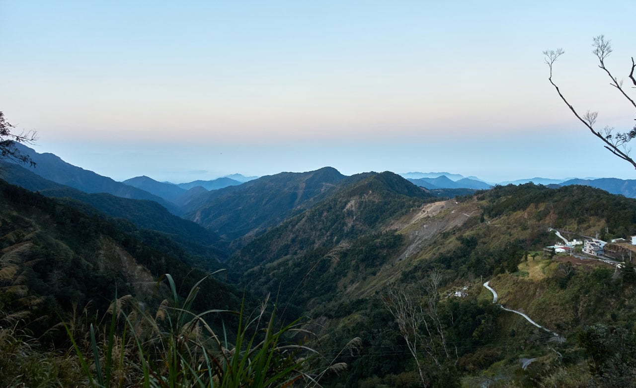
That’s the entrance to Tengzhi (TengJhih) National Forest Recreation Area on the right. You can also see the landslides and some structures that have been slowly making their way down the mountain since 2009.
ChuYunShan Control Point and Parking Lot – 出雲山管制站
Once you get to the main road, the parking lot is very close. I parked first and then walked around and took some pictures.


Previously this was the end of the line for regular folks. There used to be a gate here that blocked entry beyond. But now it’s open.

From here there are several mountain peaks you can access, as well as ShiShanXiuHu – 石山秀湖, a natural pond that used to be a popular tourist destination. Now with it being cut off from regular visitation, it’s slowly turning back to how it should naturally look. It’s definitely a place I will be visiting soon.
There’s a little pavilion and bathrooms next to the parking lot, as well as some signs.


But most importantly, the gate was open!

Let’s Start!
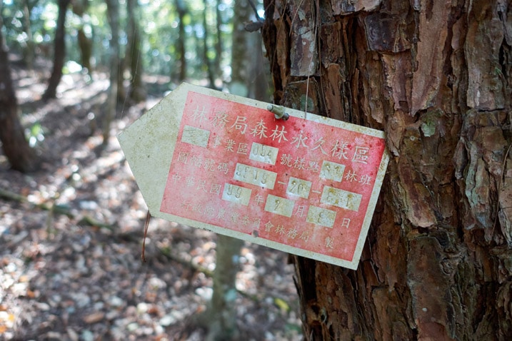
The first sign you see as you walk past the gate is this one.

I’m hoping that’s just an old sign they didn’t feel like removing. It seems odd to open the gate and then put up a sign that says you must have permission to enter. 😕
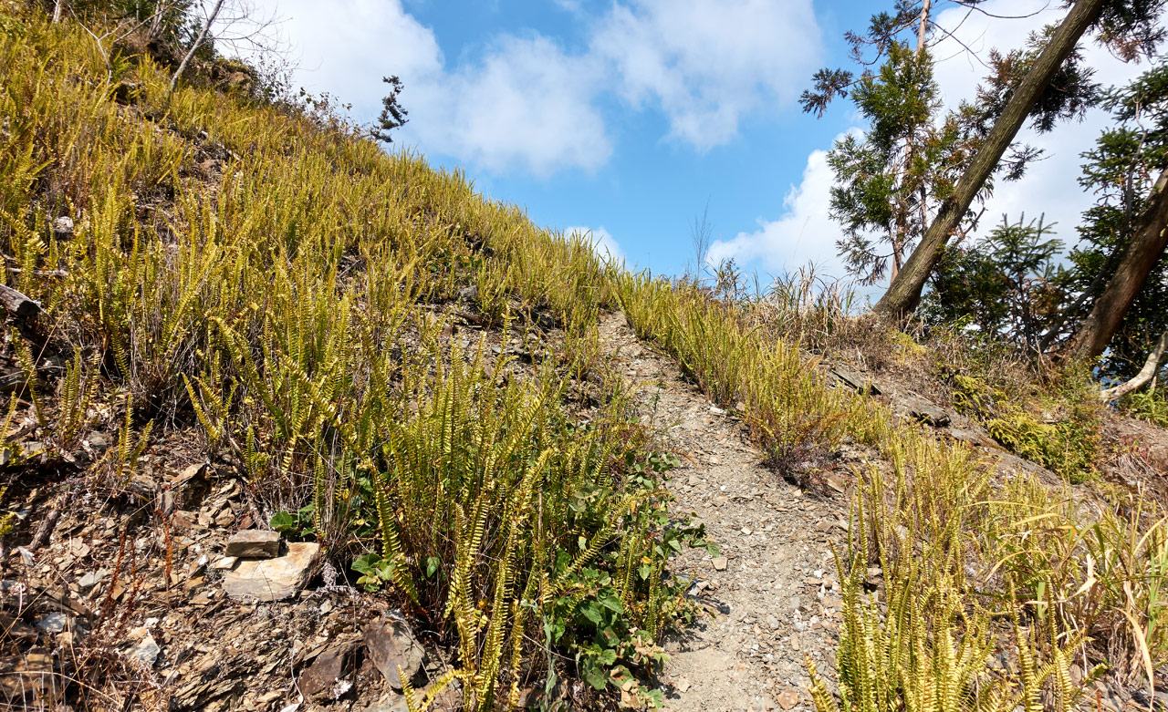
It starts off on the old road that slowly snakes its way down and away from the parking lot.


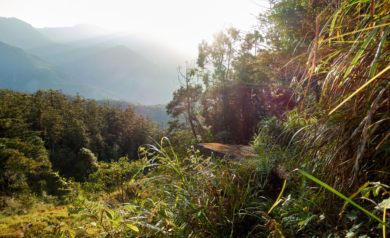
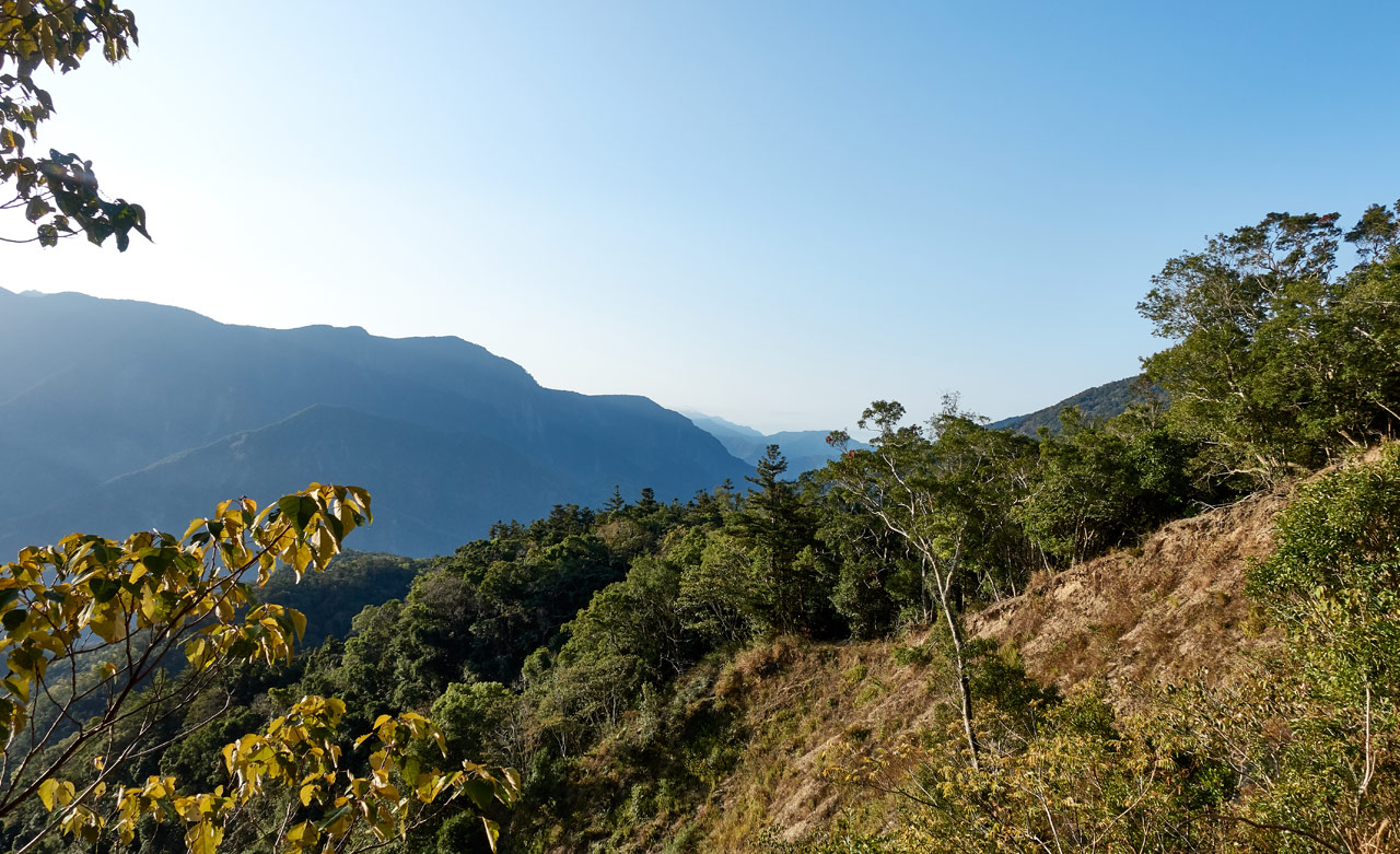
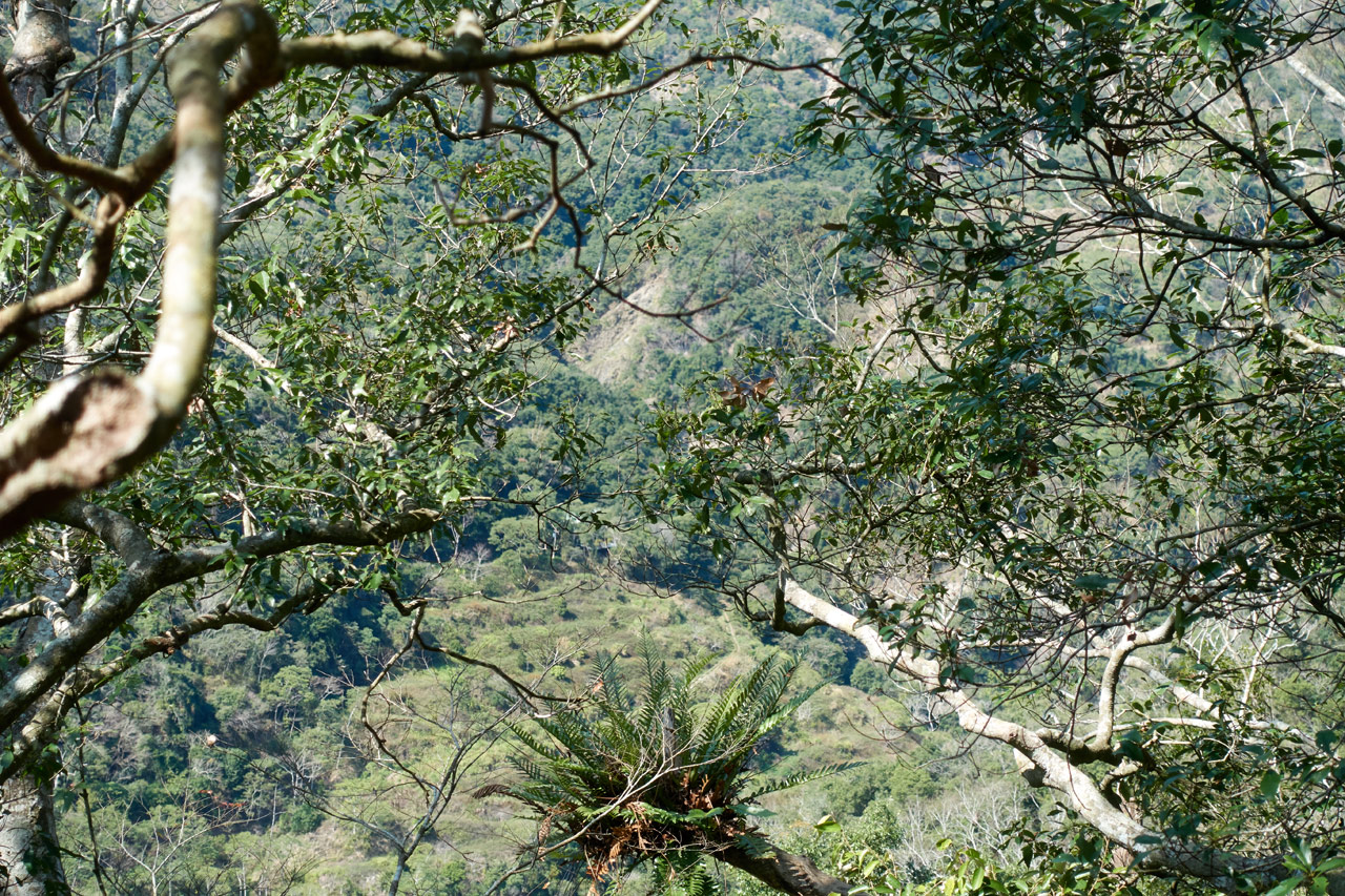
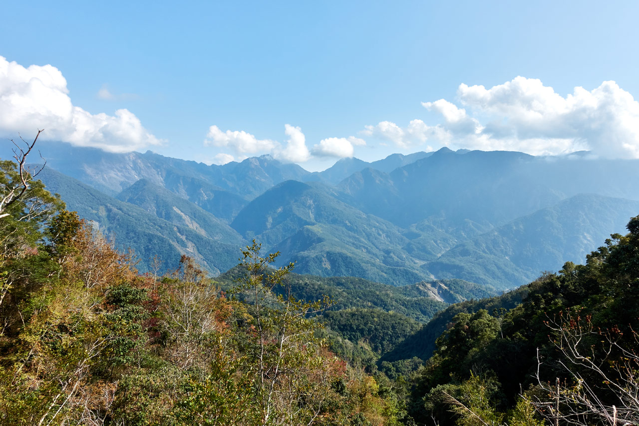
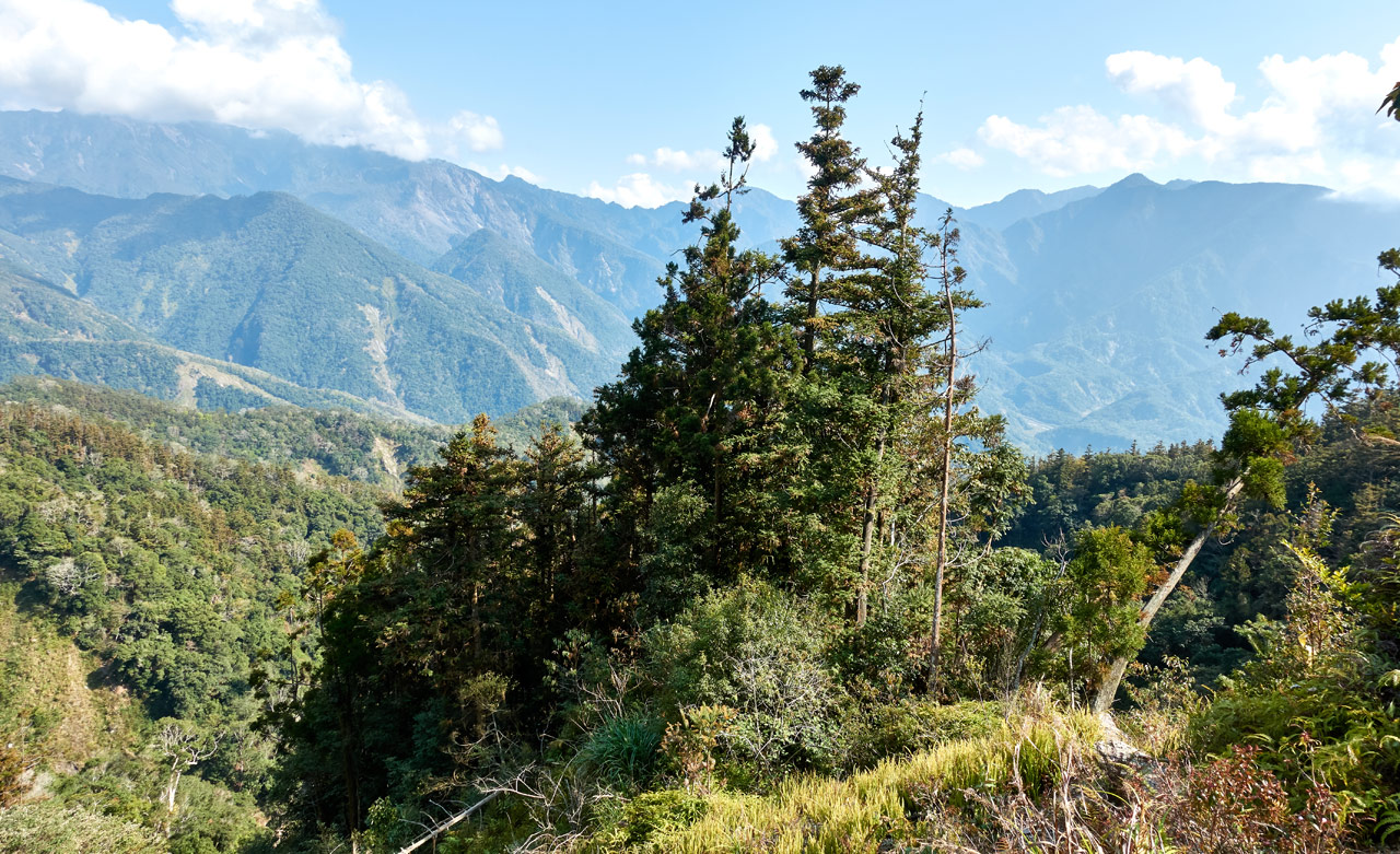
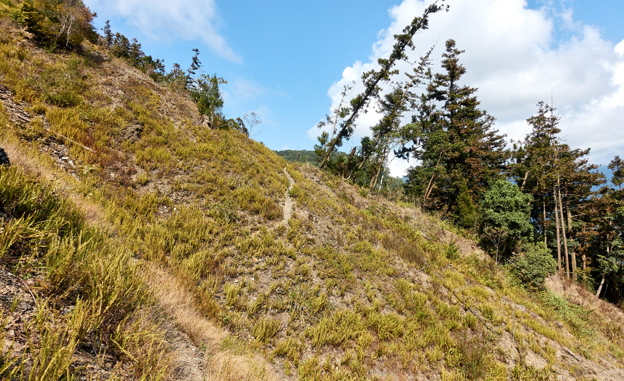
The beginning of the hike is fully uncovered, which allows for some decent morning views.
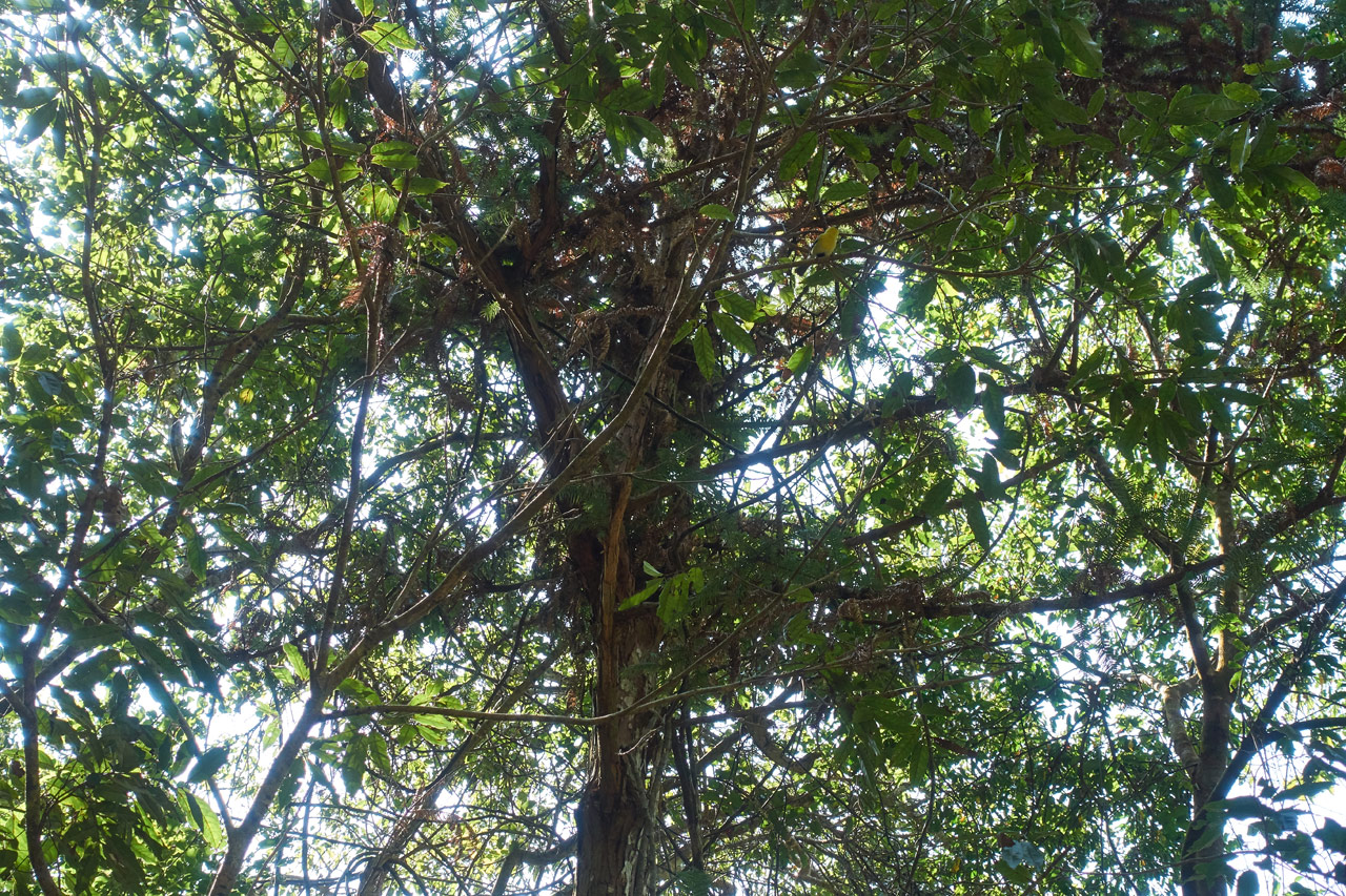
But later the road makes it’s way into the forest. It’s a nice walk under those trees…and even better since it’s all downhill.

At this point the road was in serviceable shape. Granted, it did need to be cleaned up. But slowly it started showing signs of major damage.


I had briefly considered riding my motorcycle as far as I could go, but decided against it since this didn’t seem like it would be a difficult hike.
First of Two Landslides
I wouldn’t have gotten too far though. This damaged mountainside would have been the end of the ride.
You can see what’s left of the road in the middle of the above picture. That was my target.
I arrived at the other side in short order…
…and had a look back at where I came from.
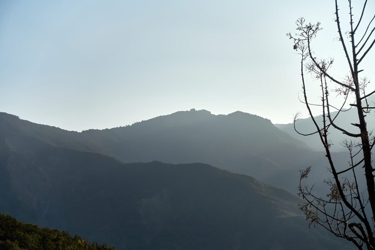
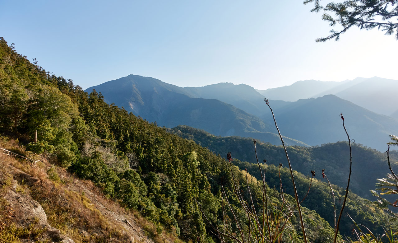
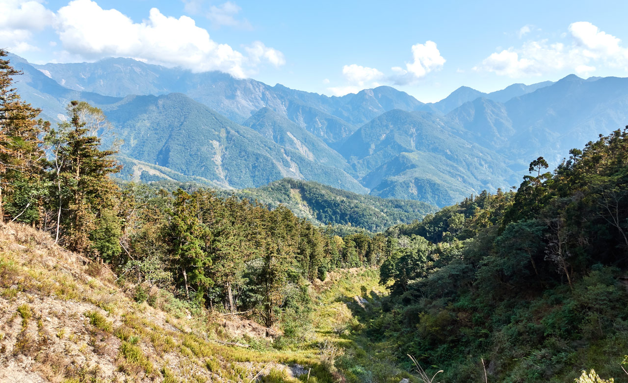
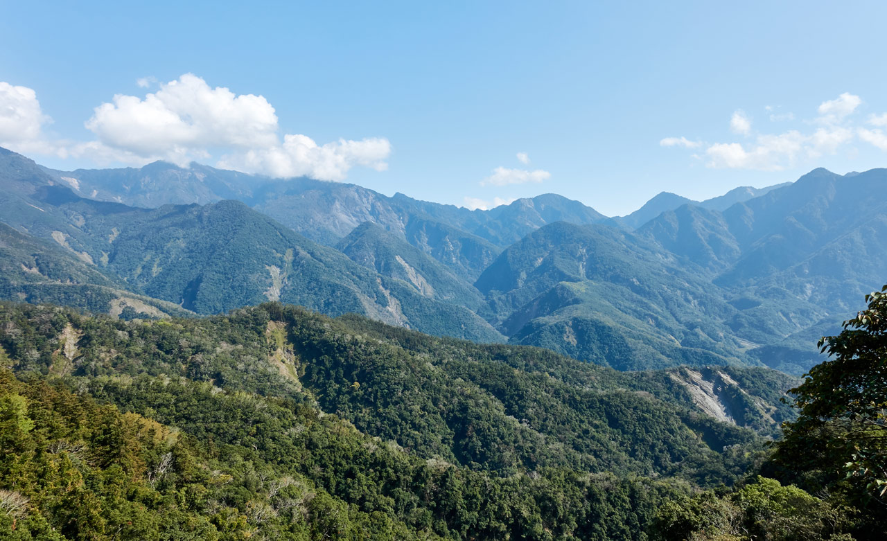
From here you can see some of the distant peaks. I believe that should be ShiShan – 石山 in the middle.
I continued on in the forest for a bit before coming to another landslide.


This one didn’t pick back up at the road on the other side like the last one did. You have to cross it in a straight line more or less and then follow a trail down the ridge before linking back up with the road.

It looked like the trail started further up the ridge somewhere. I did a little research and found that the trail goes all the way back close to the parking lot. I would guess that the land was too unstable in the beginning after the landslides, so this ridge trail was developed. It’s not really needed now though.
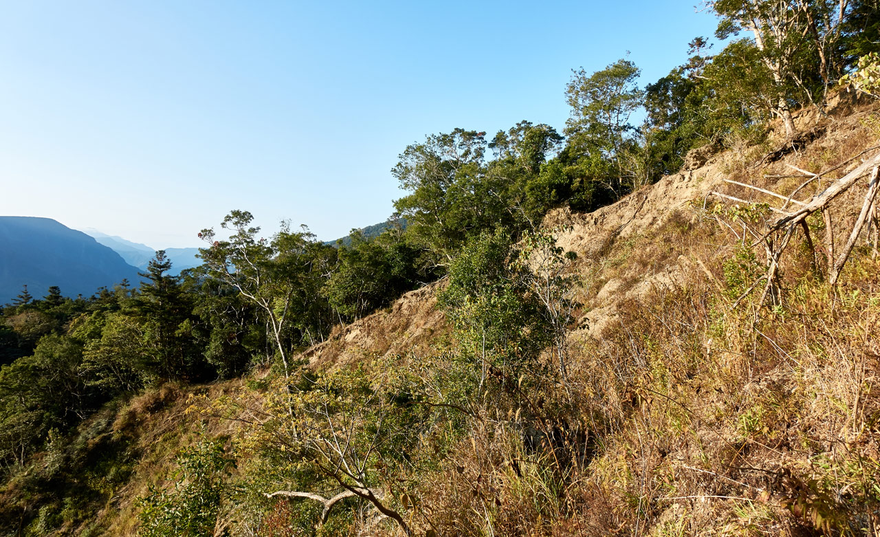
There are also nice views from here.
A Pleasant Surprise
As I continued along the road for a few minutes I noticed a little side trail that headed down towards…an abandoned aboriginal settlement!

If you know me, you’ll know that I enjoy finding these places. I didn’t know there would be an old village here. And to be honest, I’m not entirely sure if this was a village; more on that later.
I think I counted seven houses in total. A few were near the road and the rest further down the mountainside.
Here are some random pictures from the area.


On the Road Again…I Just Can’t Wait to Get on the Road Again
Yes, I am now listening to Willie Nelson after writing that title. I can’t help myself. 😀
After exploring the settlement I went back to the road and walked down the mountain…

…and down…

…and down…

…under trees…

…and down.
Again, it was nice to walk under the trees on a road downhill…but it was kind of long. I kept thinking that I would have to hike back up all this. But whatever…future me had to deal with that. Not present me.
I started hearing water off to the right side as I descended. It wasn’t much. From what I could tell from my map, the road would connect up with the stream. And it did.


The stream (now dry where it connected with the road) passes over the old road and continues down the mountain.

The road is washed out here…or just covered with a lot of debris. So I followed a trail a short distance until it turned back into a road again.


Now the road was going uphill. This lasted about five minutes before…
Second Surprise!
When I arrived at the top of this “hill” I thought I walked into a hunter’s camp.


I wasn’t wrong. But this place used to be something else. My first clue was this thing.

I don’t know what it was used for and can’t think of its purpose. Probably something mundane…but you still wonder.
The main area at the top of this hill is flat. But there’s a small path going up to the “peak” of the hill. Along the way there are several stacked-stone walls like this.

The place was a mystery to me. I could only guess at the time that perhaps it was an old mountain police station or military encampment used during the Japanese occupation to protect the logging industry (or whatever industry was in this area). I did a little research and found someone refer to this area as 巴里山社家屋. That roughly translates to “Bali Mountain Hill House”.
Whatever its purpose, its spread over a somewhat large area. As I hiked down the road on the other side towards my destination I found more and more remnants of “houses” or perhaps “barracks”.


There would be a structure here and then one over there – all over really. It extended about four or five hundred meters down the hill. The structures definitely didn’t look like the traditional aboriginal houses that I’m used to seeing, though they were obviously built in their likeness. Again, I thought “barracks”.
That’s why I wasn’t sure if the earlier aboriginal settlement was a village or not. Perhaps they worked with whoever was controlling this “hill house” and built temporary homes. Just pure speculation.
I explored away from the road and found several more here and there. It seemed I would be here a while if I continued exploring, so I finally decided to stop. I really would like to know what this place used to be.
FanLiShan Trail Head
After passing the last of the stone structures, I walked another five minutes until I reached the trail head.


From the trail head the peak is pretty close. I considered following the road a bit more to see where it led. It appeared to still be in good shape.

But I decided to wait. First things first. I’d go to the peak and then come back down to see where this road goes.
And just for fun…here’s a picture of a nearby cave. Or, maybe not. It’s pretty small and maybe something lives in there judging by the sort of trail leading to it.

The hike to the peak was short and easy. There’s really not much to report about it. I saw an animal (probably a Serow) run away from me at one point. And it got a little steep in one section. But all in all it was a boring little hike up.


FanLiShan Peak – 蕃里山
The peak was more or less like most peaks I visit.

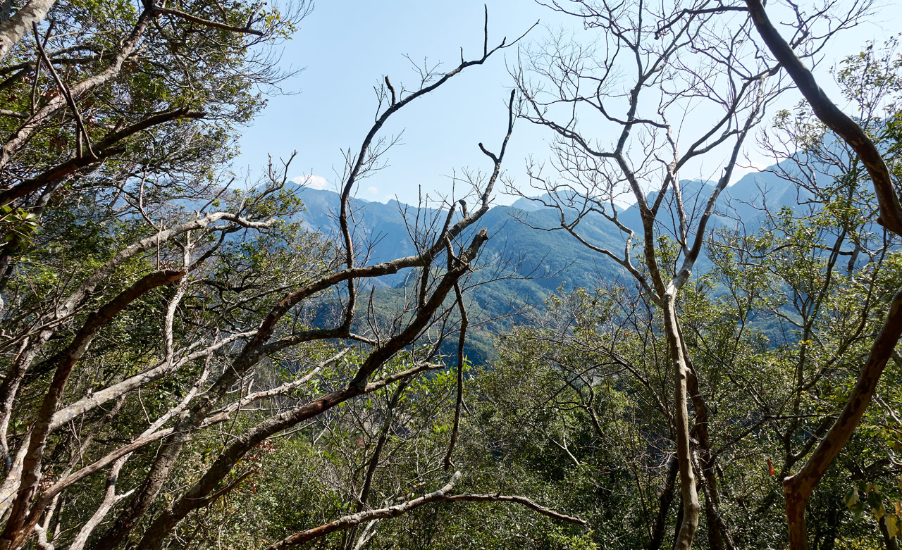
There wasn’t really a view, but you could peer through the trees and see the mountains beyond. Nothing picture worthy though.
It was 9:40am when I arrived. That’s the earliest I believe I’ve ever made it to a peak. I don’t think I knew what to do with myself! So I took an hour break and ate and took pictures.


While I was up there I needed to take a bathroom break. I walked a respectable distance out the back of the peak and off to the side for this. While there I noticed a red marker ribbon attached to a tree.

After completing my business I decided to follow them for shits and giggles. Before long I was a little too far from the peak (and my gear) so I turned around to get everything so I could keep following them. Where did they go? There was no nearby peak. Who put them there? It was a mystery that needed solving!
Advantages of Hiking Alone
Let me stop briefly and talk about a topic that comes up from time to time. Hiking alone versus hiking in a group.
If you’ve read any of my blog posts you’ve probably gathered that I almost exclusively hike alone. There are dangers when hiking alone – the biggest being that you’ll get scolded often by non-hikers and hikers that prefer groups. 😆 Ok, jokes aside…(no really, that’s true!) there are plenty of “bad things” things that can happen when hiking alone. I won’t list them because I think they’re obvious. Or if you really want to know, just tell any random person that you’re hiking alone for a few days and I’m sure they’ll tell you all the bad things that will happen.
So why hike alone? Here’s something that came up in a Twitter thread recently that sums it up nicely.
The importance of solo is not just solitude – we can never control this – but instead the freedom to go where you want, when you want, wander if you want, change plans when you want, explore where you want…True freedom comes from freedom to choose!
— Trevor Padgett (@TrevorCPadgett) February 23, 2020
My take on it is very similar. For one, you can truly hike your own hike. I love having the freedom to change my plans at the last SECOND. Or to abandon them completely. It’s not something you can easily do with a group. Then there’s the freedom to choose ANY peak or trail. If I had to rely on finding others to accompany me to some of the peaks I visit…forget it.
Lastly, the solitude. There’s something refreshing about spending most of the day hiking alone. Some might like the “getting back in touch with nature” aspect of it, but for me it’s just nice to be out there alone, away from everyone, relying completely on myself. In short, it’s up to me to take care of myself. I have to research my hikes in much more detail to anticipate problems I might face and then plan accordingly. I like the challenge of it being up to ME to get ME in and out of there safely.
Ok, enough of that topic. Let’s get back to the hike.
Side Adventure
My new plan was to follow these ribbons to see where they would take me. They took me down the mountain…

…to a little ridge that I followed down.


I hiked down about 1200 meters over forty-five minutes.

Along the way I heard what sounded like a chainsaw or weed-whacker or something coming from an adjacent mountain. There was a house and farmland over there.
I’ve been on that side of the mountain just above that farm once before. I had considered using it as an access point to the river below to help me reach an abandoned aboriginal village a ways away. But I think this trail I’m on now might be a better choice.
Error
When I came to this spot below I made the wrong choice.

It seemed natural that I should follow the ridge up here. And I did. I followed it another ten minutes or so before realizing I hadn’t seen a ribbon in far too long. So I stopped and turned back.

When I got back to the spot I mentioned above, I searched around and found a ribbon going off to the side of the ridge. At first I thought I was stupid for turning back because the ribbons appeared to be headed right to where I was before. But about halfway there they turned down the mountain and it looked somewhat steep.
New Plan – Go Back
This is where my enthusiasm died out. I had hoped they led to a lower peak that wasn’t listed on any maps I’ve seen. But it was obvious that they were headed down to the river. My best guess is that they lead to XinJiShan (新集山) or maybe FanLiShan West Peak (東蕃里山). You could access those peaks via the road far more easily before Morakot. This might have been someone’s attempt at a new route.
For good measure I took a picture of one of the ribbons that had the name of the hiking group that hung these ribbons.

The name on the ribbon is 柯藝登山隊 (KeYi Mountaineering Team). I found the group on Facebook and sent them a message asking where these ribbons go, but they didn’t reply. 😥 That was over a month ago, so I think that’s a closed case. Oh well…
I hiked my way back UP the mountain this time. I hadn’t realized how easy I had it for the first half of the hike! The time off I had taken to help heal my leg and the two easy peaks the week before seemed to highlight my new lack of stamina!
Here’s me trying to look “not tired”.

It took about forty-five minutes to hike back to the FanLiShan peak. On the way I found this natural “sword”…which I broke by dropping it after a few swings.

More Exploration or Go Home?
I took a very brief rest at FanLiShan and then hiked down to the road. It was 12:40pm and I had plenty of time to follow the road down for more exploration. But that wasn’t to be. On the way back up the ridge to FanLiShan my leg started acting up again. Not bad…but not great either. I didn’t want to push my luck, so I chose to hike back.
In total it took about two hours to hike from FanLiShan to the parking lot. I made a few stops for pictures and to look at birds. So realistically it could have been an hour and forty-five minutes.
Near the stream I found this rusty old hoe that was missing a handle. Ya gotta wonder how old that thing is?

And near the “Hill House” I found this fallen tree on the road.

The funny thing is, it wasn’t there earlier. Just imagine hiking and getting hit with that!?
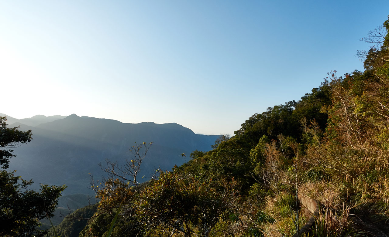
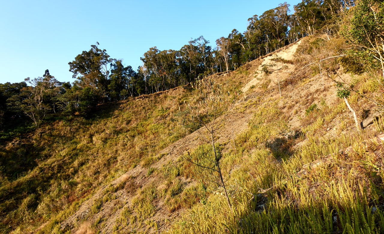
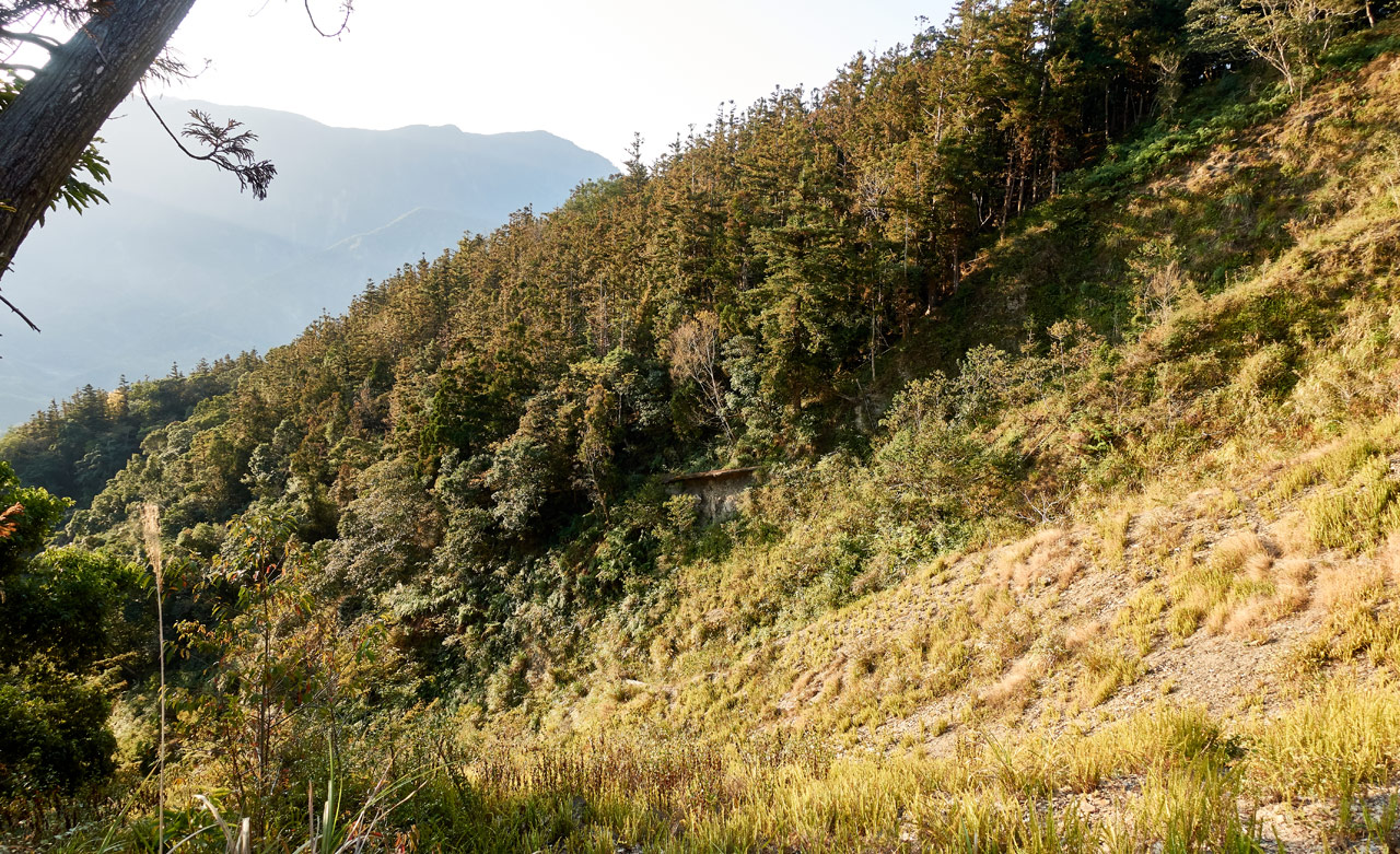
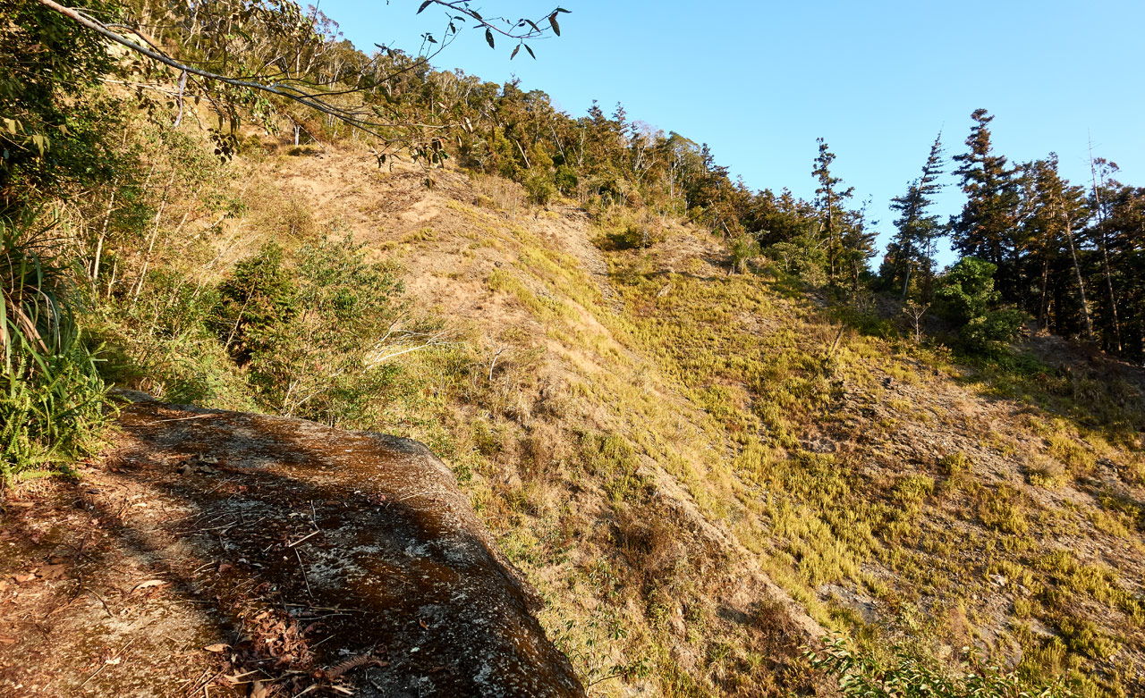
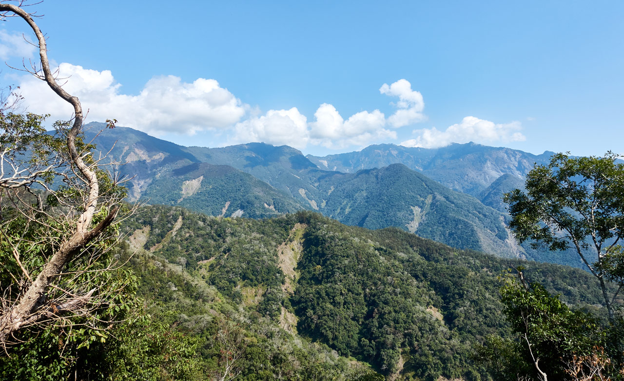
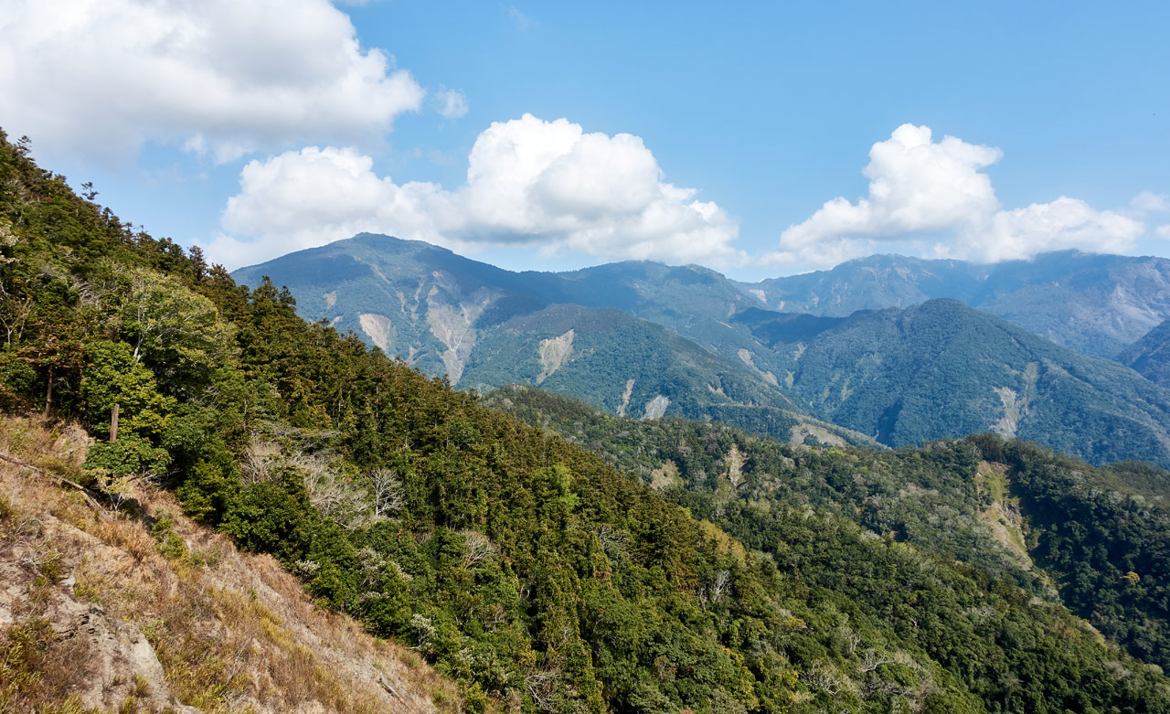
The rest of the hike to the parking lot was unremarkable, save the views! I’ll end this section with a bunch of mountain pictures. You can click them all for a larger view.
Conclusion
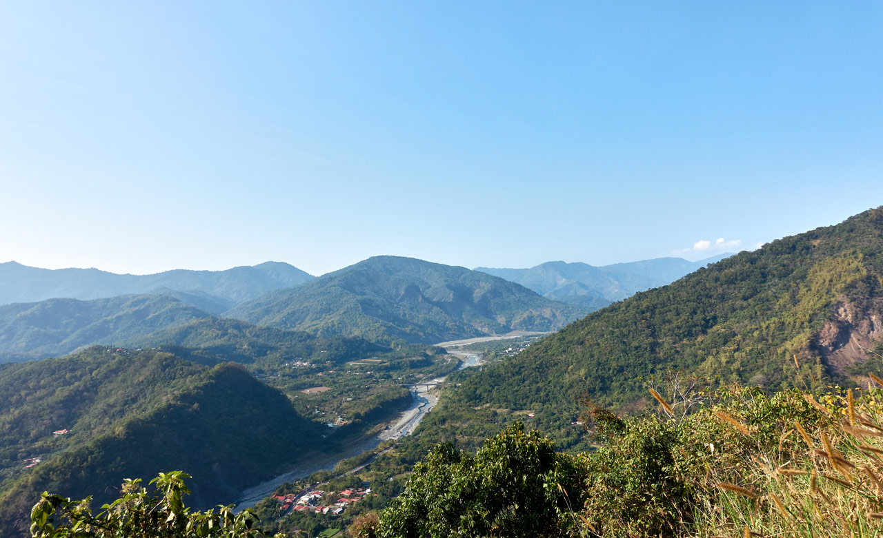
That’s about it. My leg seemed OK for the most part. I packed up my gear, drove out of there and snapped this one last picture as I drove out of the Tengzhi area.
This is a hike I would totally recommend to most anyone. I think most people would enjoy it. It’s not particularly dangerous and has plenty of fresh air and beautiful mountain views. Spend the day hiking to FanLiShan. (That’s my stamp of approval!)
Date hiked: 2020 February 07
GPX Track Download Instructions: Click the track on the map to see the download link
FanLiShan – 蕃里山
This is the part where I followed the trail ribbons. I’m leaving the GPX track for your reference. If you choose to follow it, you do so at your own risk.


![[Valid RSS]](https://outrecording.b-cdn.net/wp-content/uploads/2020/03/valid-rss-rogers.png.webp)
是的,文章裡的猜測是正確的 它會下到馬里山溪 然後前往 新集山
Thank you! That’s very good to know. I’ll go back and hike it someday.