

A few days ago I decided to head out to BeiHuLuShan 北湖呂山 to attempt to hike it for the third time. If you know me, then you know this is odd behavior. I never hike a peak twice, no less three times, unless…
A New Route!
The second time I hiked to BeiHuLuShan I had thought I would be hiking up this nice gradual ridge starting directly to the north of the peak. Turns out I was wrong. Utterly wrong. Terribly wrong. Utterly…terribly…wrong. Did you get that? I took the wrong route. (I use “route” because what I hiked cannot be considered a trail by any sane person.)
Anyway, that route was steep as hell. You can read about it here if you’d like.
I’ve had that northern ridge on my mind ever since. I wanted to return one day to see if I could hike it to the peak. It looked easy enough on a topo map. Have a look.
The “main route” is nice hike. Certainly interesting and one I would recommend anyone to try. But seeing how a dirt road will take you all the way up to the ridge from the north, that seems a MUCH easier way to get to BeiHuLuShan. So I put together a plan and drove out there for the third time. (Well, it was my fifth time. The first time I was putting around on my bike, back before I got into hiking. And the second time when I drove out to the abandoned village near the end of the road, Kulalangau.)
The Beginning of My Mini-Post
Fortunately for you, I don’t have a lot to write about for this post, and even less pictures to show you. My plan was to drive to the ridge, hike up, hike back, and drive home. Pretty simple. Except there was a problem.

A small landslide took out the trail very close to the beginning. Doh!
This picture and the next picture of the other side of it hardly look menacing…

But I assure you that it looked sketchy enough for me to consider not driving over it.
I walked it to get a feel if I could drive over…and felt I COULD do it, but it didn’t appear that anyone had driven over it EVER. Walked it, yes, but no driven. That, and the fact that someone had placed a bunch of fallen tree branches over the trail fifty meters before the landslide led me to (falsely) believe that there were more landslides ahead that couldn’t be driven across. So I parked my bike and hiked it from there.
Later I passed a trail that linked up from below that looked freshly used. After that point I saw motorcycle tracks. Damn…
That trail was obviously a way to bypass the landslide. Had I explored a bit more I probably would have found the bypass and saved myself a solid hour of hiking. Oh well…
But some things work out the way they do for good reason, as you’ll see by the end of this post.
The Long Walk
Ok, so where was I? A landslide made me ditch my bike. Right.
I got to hiking on the wet trail. Unfortunately I had but one gaiter. So that meant that my left pant leg got soaked rather quickly. This really was a bad start to things, wasn’t it? And if you’re wondering. No, I don’t usually pack one gaiter. One of my Decathlon gaiters lost the zipper when I took it off at the end of a hike. I’ve gone back a few times to buy new ones, but they’ve been out of stock. Yeah, I know. I should buy from another brand and get it over with.
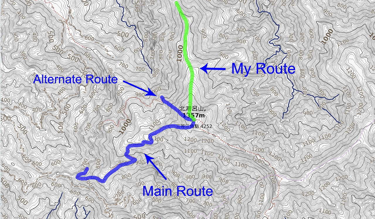
Back to my long walk…this part of the hike is by far the best part for the scenery. Forty minutes after stepping off I had arrived at nice clearing that I had been eager to stop to use my tripod for a few morning shots.
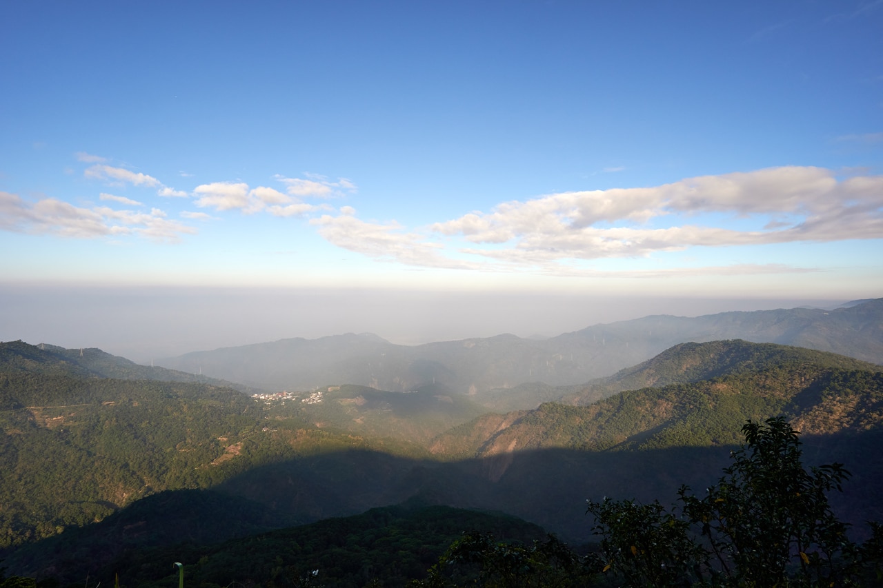
Here’s a seven-picture stitched panorama of the whole scene:
The village in the distance is ShiWen – 士文村 in Chunri – 春日.
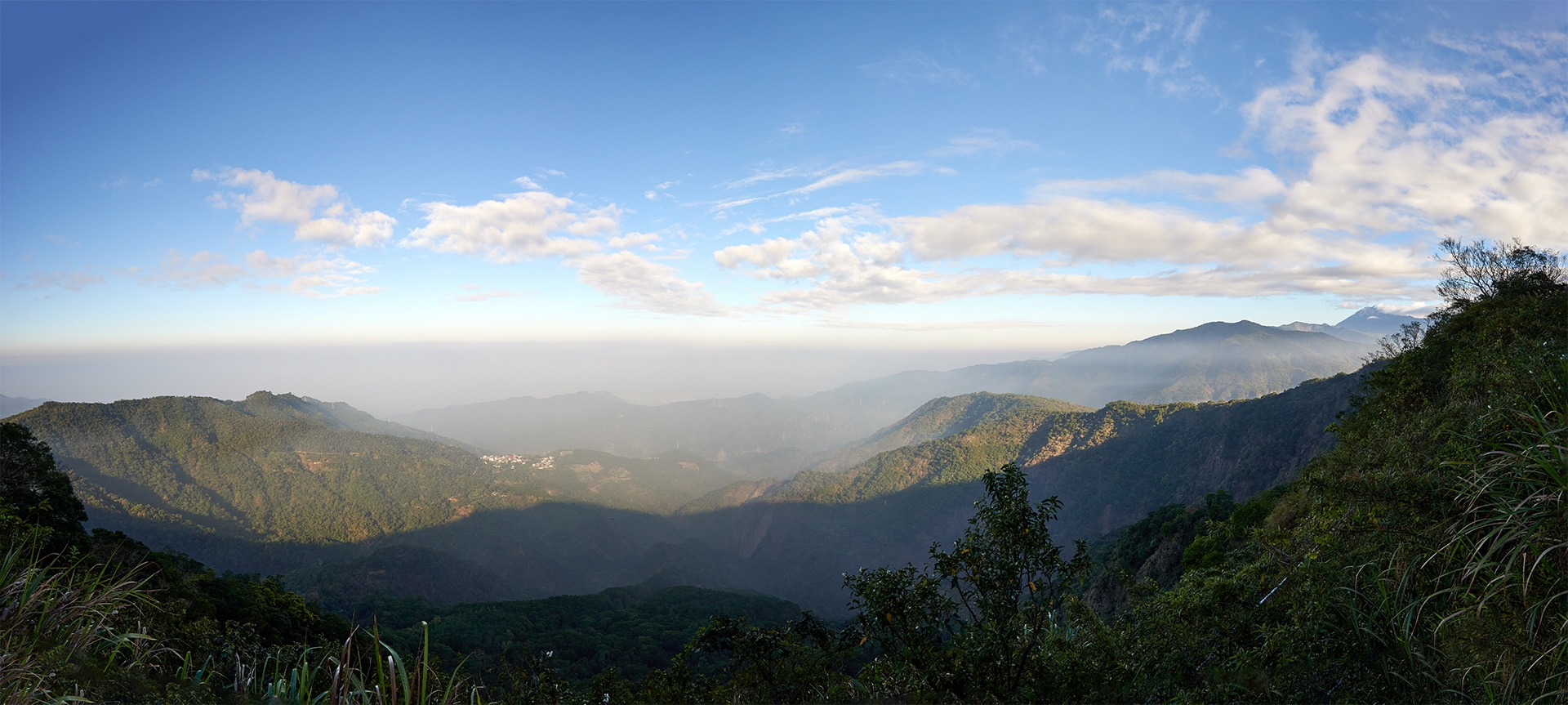
To be honest, you can probably just skip the rest of the hike and hang out here for the rest of the day enjoying the nice view and good weather. I did once upon a time.
But if you really want to continue, then read on…
In total I hiked 5.1 kilometers on the dirt road until I reached my proposed “trail head”.
I passed several landslides along the way.


Any of these I could have easily driven my bike past. I was again regretting not driving. That is, until I got to this spot.
Back-mountain Gate

This lone chain is enough to stop a motorcycle. Though it’s attached to that boulder and to the tree on the left.


If you’re one to bring tools along with you on a ride, you could easily saw the tree and remove the chain. But I would recommend not doing that unless you have several friends with you. There’s only one way in and out…whoever put up this obstacle likely wouldn’t be happy about you destroying his work.
If you’re wondering why this chain would be there, it’s undoubtedly to keep riders from driving to Kulalangau, an abandoned Paiwan village a few kilometers further.
Oh, and to help fill this post some, here’s a cool looking fat ass bumblebee of some sort I saw not long after passing the chain.

I’m sorry to report that it had fled the scene a second after taking this picture. So please don’t go out there looking for him.
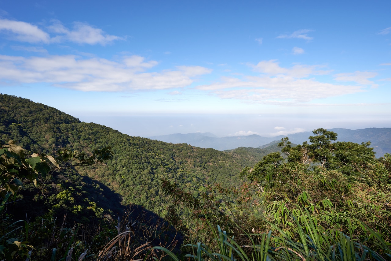
Oh, and there are a couple spots with a view of back the way I had come from.
The “Trail head”
Nearly two and a half hours after leaving my bike I arrived at the “trail head”. If you’ve been paying attention, you’ve noticed that I keep putting ‘trail head’ in quotations. That’s because I have no idea of what to call it. There is no trail, so by rules of English (or something) you can’t very well call it a trail head, can you? “Trail head” sounds a lot smoother than “The place where I will begin my hike”. So I went with that.
At any rate, I had arrived at the place where I would begin my hike. (See! Doesn’t that sound silly?)

Can you see a trail in all that? Neither can I. From what I could tell, few, if anyone used this ridge to hike to BeiHuLuShan. Perfect!
So…this is where things get quite boring for you the reader. From here until the peak, I took eleven pictures…including the one above. And four of them were doubles. (I usually take two pictures of everything. A safety shot if you will) So that really makes seven pictures.
I took so few pictures because there simply wasn’t anything interesting to photograph. Are you ready to see them?

This was a piece of ‘ribbon’ I found on the ground. Maybe it could have been blown here by a typhoon, but I doubt it. I found no other trail ribbons; perhaps this was used by a hunter to mark…whatever hunters mark.

This spot marks nearly the middle of the hike from the road to the peak.

If that tattered ribbon didn’t blow my theory that nobody uses this ridge, then this old lunch box tray certainly did. There were two of them. Someone shared a lunch up here once.

90% there!

Damn near the top!

Wait what!? An orange ribbon???
Right, I put that there…….over two years ago when I hiked this peak using that shitty route. There weren’t many trail ribbons on that hike, which made it confusing at times. I hung several along the way to help myself get back. And apparently they worked, as I’m at home right now typing this. You’re welcome.
BeiHuLuShan 北湖呂山
It took me one hour and thirty-five minutes to navigate the ridge (1.6 kilometers) from the road to the peak. I did my best not to use my machete unless it was absolutely necessary. It got somewhat thick here and there, but for the most part it wasn’t needed. I believe I only unsheathed it twice.
I gotta say that the ridge was easier than I had thought it would be. I wouldn’t go recommending that a novice try it, but I can’t see how you’d get lost unless you were slightly drunk and brought no navigational aids with you.
So here’s the few pics of the peak that I took while I was up there.

Yep, that’s me in my usual triumphant pose. I also tried to do a cool “this is my third time here” picture. A three-peat if you will. But I think it looked stupid.


The peak…and a couple of the various signs you’ll see up there.


What’s this…there’s more!?
Yes, there IS more believe it or not. I arrived at 11:45am. I had a lot of time on my hands. So I turned some music on, ate, and picked a spot on the ground and took a short nap. I won’t lie, it was pretty damn nice!
After my nap I was feeling good. It was either that or the thermos of coffee I drank. Yeah, it was probably the coffee. Regardless of WHY I felt good, I had decided that I didn’t want to take that ridge back down. It just seemed boring.
But how would I get back to my bike you ask? Well, it sure as hell wouldn’t be by that crazy route I keep bringing up. No, I would be taking the main trail down. Which just so happened to end VERY close to where I parked my bike. Winner, winner chicken dinner!
So an hour and forty-five minutes later I started down an actual trail.
I have no pictures. But if you’re interested in knowing what that trail is like, here’s my post from three years ago.
But just so I don’t disappoint, I took these two pictures.


That’s it, really.
Oh! I did take a video complaining about the trail ribbons and spray paint and posted it on twitter.
Trail ribbons and more trail ribbons! How many do you need??More apparently #hiking #taiwan #OutHiking pic.twitter.com/HmMnK5GEK6
— OutRecording (@OutRecording) February 11, 2022
One Last Surprise:
BeiHuLuShan Southwest Peak – 北湖呂山西南峰
On the way down I had time to think. Over four hours to be precise. Though I was totally sandbagging it. Why rush, right?
Anyway, I had remembered that there was a little peak along the route that I didn’t know about the first time I hiked BeiHuLuShan. I wasn’t precisely sure where it was located, but from a topo map on my phone, I had a rough idea. It was either on the trail or right next to it.
So off I hiked looking for BeiHuLuShan Southwest Peak – 北湖呂山西南峰!
And yeah, I found it. It’s up slightly at the end of a little ridge next to the trail. There were a couple ribbons off to the side of the main trail that looked out of place. I followed them up and a minute later I had arrived!

There isn’t much to do there but rest a bit and take a few pictures.


‘Epilogue’ sounds more refined than ‘Conclusion’
I hiked another twenty-five minutes to get back to my bike after leaving BeiHuLuShan Southwest peak. There was plenty of light and it was quite pleasant. A monkey even yelled at me a few times from above. What else can a fella ask for?
In conclusion, I think hiking this as a loop rather than there and back was an excellent idea. It’s not what I had planned, but it worked out really well. If you decide to try this hike, park early and try it as a loop. I don’t think you’ll be disappointed. But as a disclaimer, don’t do it alone and don’t try it unless you’ve had some off-trail hiking experience. Enjoy!
Date hiked: 2022 Feb 11
GPX Track Download Instructions: Click the track on the map to see the download link
This is the track going up. Remember, the ridge has no trail or markings of any kind. Hike it at your own risk.
This is the hike down from the peak. It stops at the southwest peak near the end.


![[Valid RSS]](https://outrecording.b-cdn.net/wp-content/uploads/2020/03/valid-rss-rogers.png.webp)
Leave a Reply