A couple weeks ago I decided to try hiking to NanHuLuShan 南湖呂山 again after a failed attempt several months back. I was prepared for a tough hike of hacking and slashing, but as it turns out it was the exact opposite.
With me I brought two machetes–one for the lighter stuff and one for the thicker branches–and a hand saw for extra thick nastiness. Why? Because the last time I was on this trail I ran into a terrible amount of overgrowth that stopped me in my tracks. The machete I usually carry is good for the smaller stuff, but takes more muscle and energy to clear the thicker stuff.
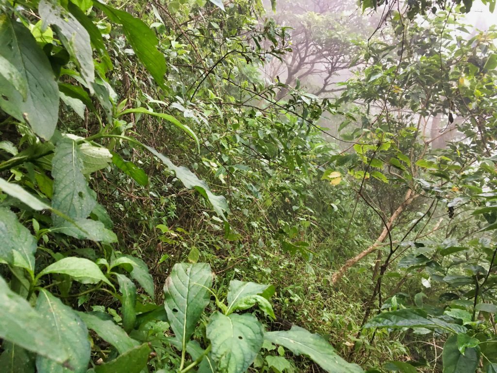
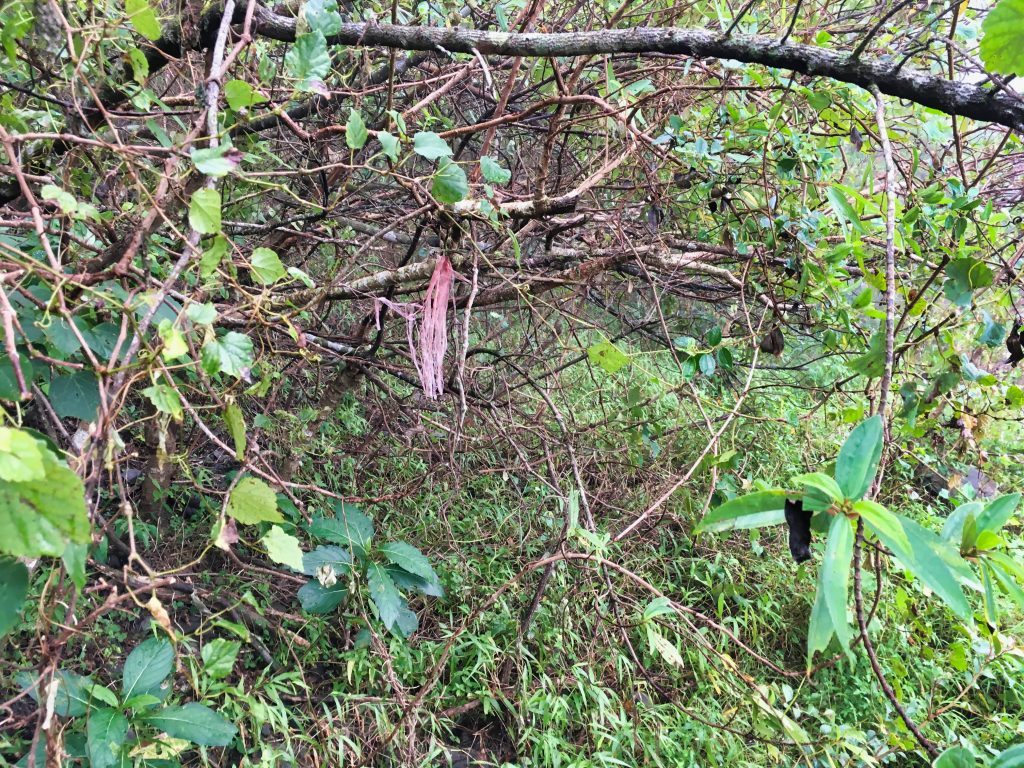
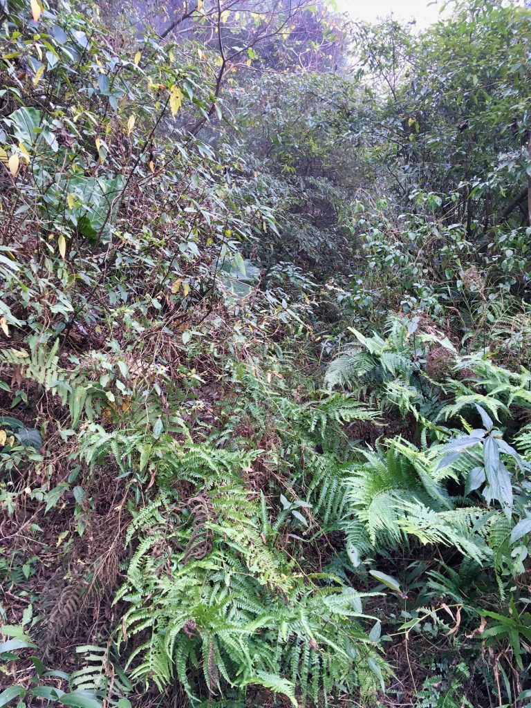
Yeah, that’s what I had to deal with. And it was much worse than that. Being on the side of the mountain didn’t help the situation either. And around that same time it started raining. I don’t look all that happy, do I?
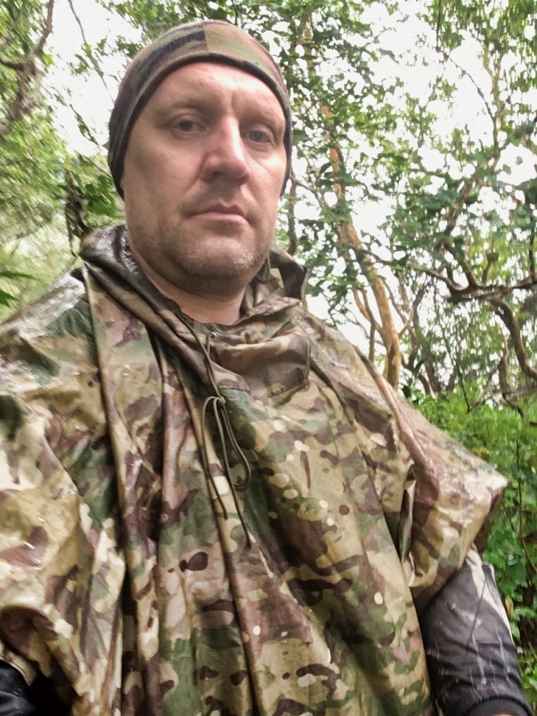
All packed and ready, I headed off early in the morning. It was probably a good two hours to reach the trail head. It took longer than usual because I was stuck behind two SUV’s on the mountain road that wouldn’t let me pass. Otherwise I could have easily cut twenty minutes or so off that time.
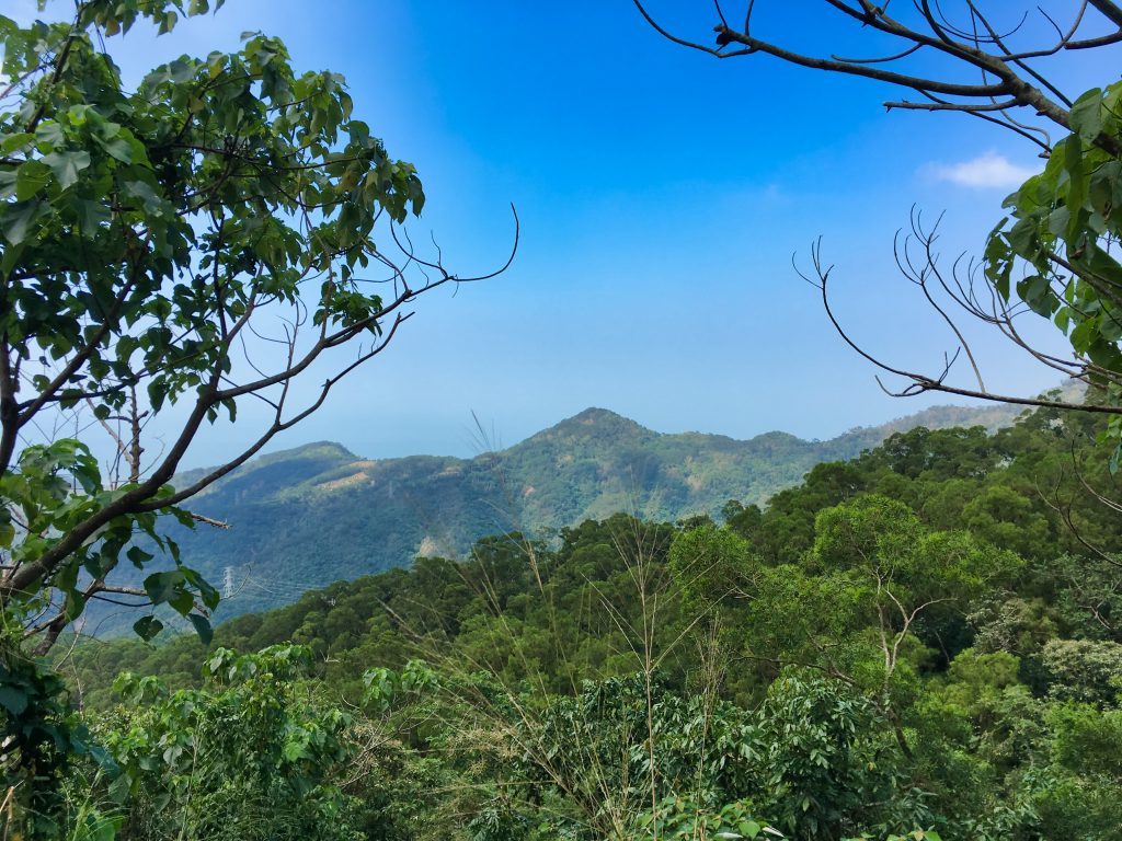
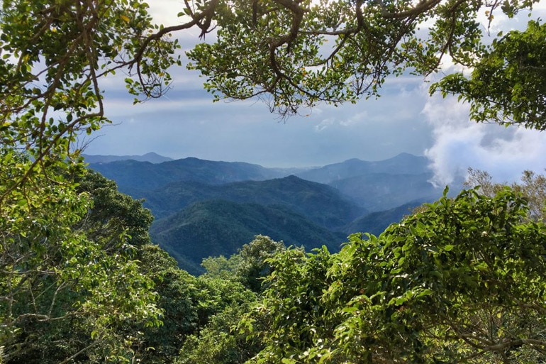
It was an overcast and cloudy morning. On the ride up, you can get some decent views if the weather is right and you want to stop and take them in. This is from my last trip when it was nice and sunny.
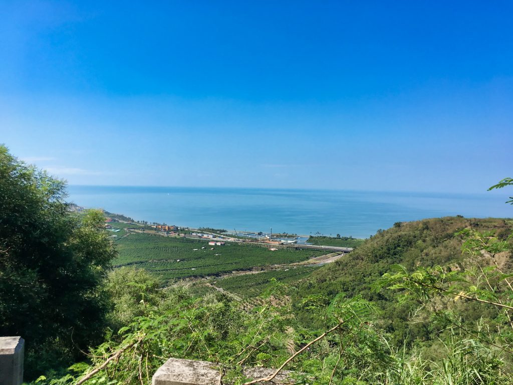
The mountain road to the trail head is sometimes paved, sometimes dirt. But it’s easily manageable by most vehicles until the very end. It turns into single track that only an offroad motorcycle can easily handle.
You may need to allot more time for this hike to make up for parking earlier on the trail.
The trail will end at a landslide.
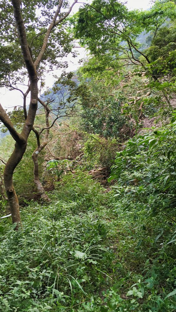
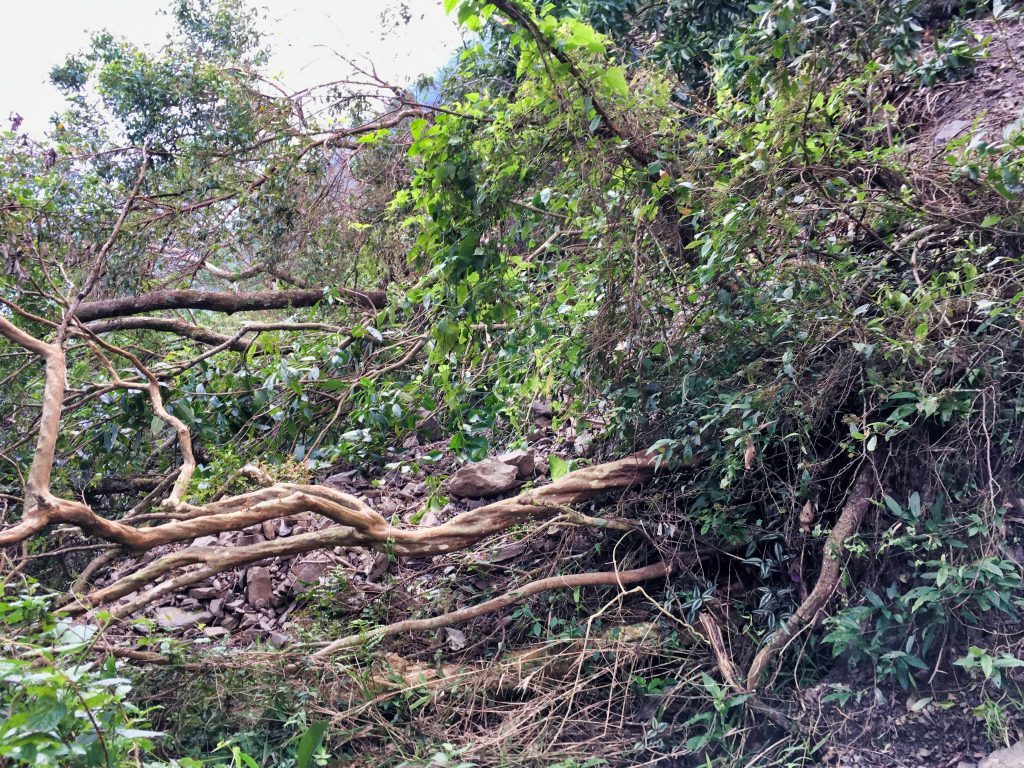
When I was here a few months back I had thought this was the first time I had been here. Later when I was back home and I uploaded my GPX track into Garmin Basecamp I discovered that I had already been there a few years back! The trail used to be wide enough for a car to drive all the way to a small parking area that could accommodate maybe three cars. This is just past the landslide. There was a chain that prevented you from going any further. But now all you get is the landslide that I doubt will ever be cleared, as there’s nothing up there but a trail to a mountain peak.
From the landslide you can continue up two, maybe three ways. The first is straight up the landslide. It’s doable (I tried and made it to the next switchback) but not very stable. It’s like “two steps forward and one step back” the whole way up. I wouldn’t want to try coming down that way. So my preferred route is straight up through the forest.
It’s also not easy because it’s relatively steep and the ground is quite loose – which is probably why there was a landslide here. I wouldn’t be surprised to come back and find another landslide in the future.
The third way would be to continue following the trail as if the landslide wasn’t there. Cross it and link up with the old trail and take the switchback up to the landslide and cross it again. I didn’t try it, but I don’t see any reason why it wouldn’t work. But then again, it could be tough.
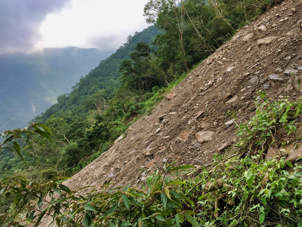
On a silver-lining note, the landslide did create a window for a great picture.
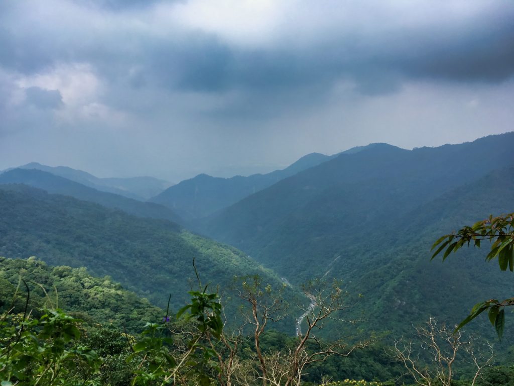
Well…a great picture if I had a better camera. Maybe you’ll have better luck.
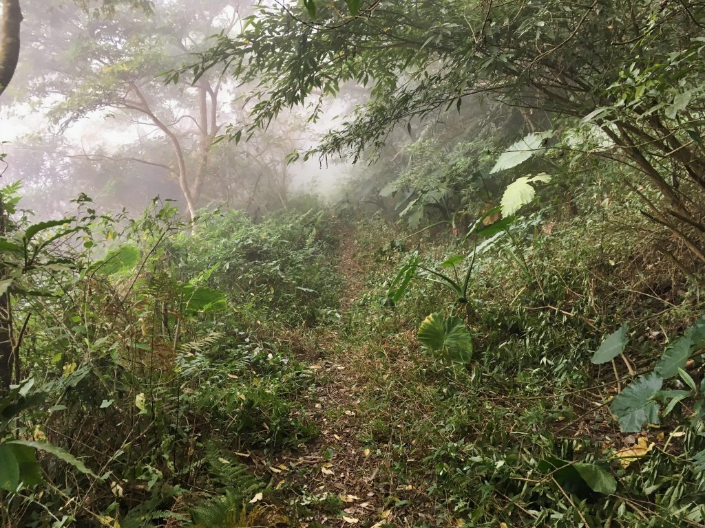
Once up to the trail it’s your typical “overgrown mountain road” type of hike.
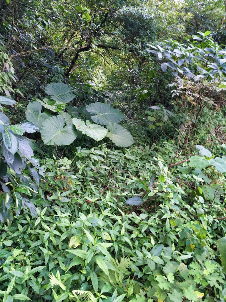
From what I can tell, this road used to get pretty close to what probably used to be the original trail head way back when – a short, several hundred meter hike up to the top. But as it stands now, you’ll need to hike about 5 kilometers to the peak.
Along the way there are several hunter’s traps sticking out of the ground.
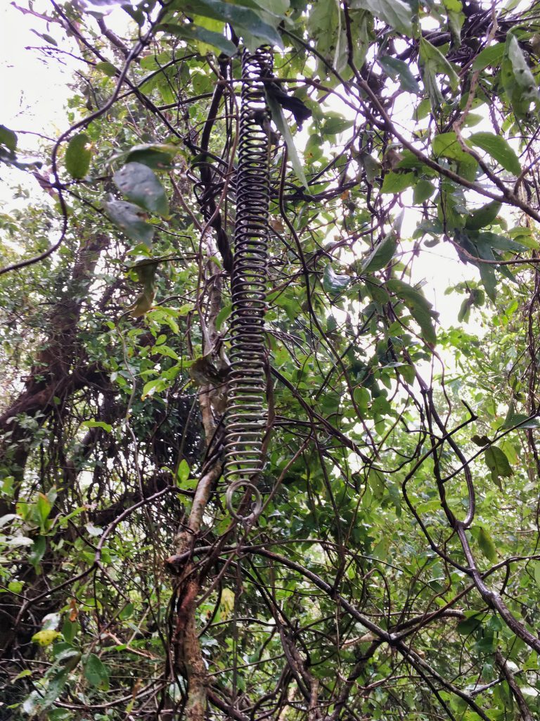
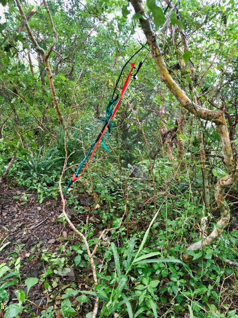
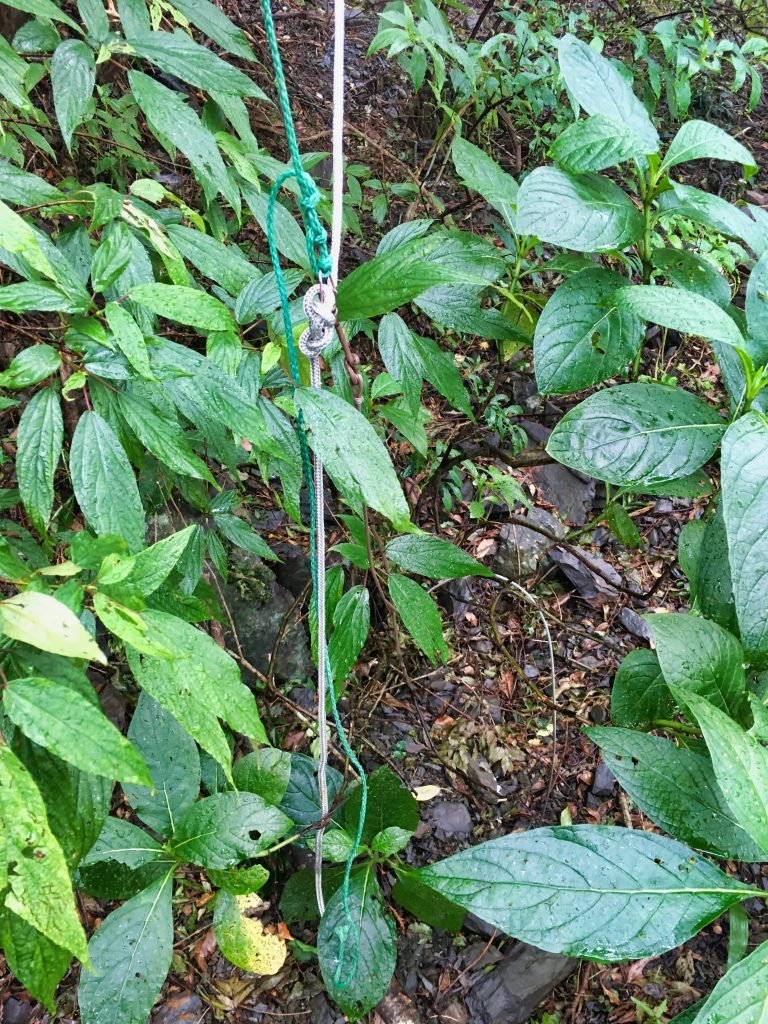
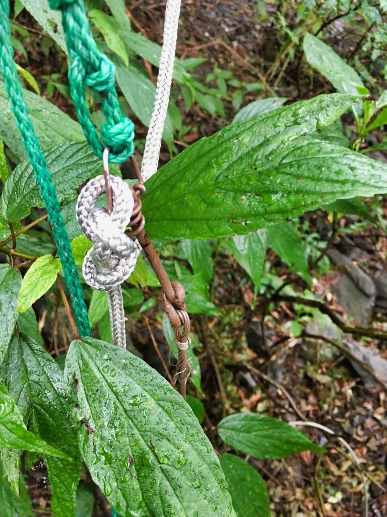
They’re easy to spot and most are off to the sides of the trail, so I don’t think they pose any threat to your safety. But I would still keep a wide berth just in case. If sprung, I’m not sure how far those springs would flail around. The first time I was up there I counted maybe seven or so traps. This time I saw less, and a few more were sprung. I’m not sure if the hunter still comes back up here.
The last time I was here I had to use my machete a good deal. All that work made it easier this time. But I was preparing myself for the area that had stopped me before. When I reached it I was in for a great surprise!
Being winter, some of the smaller stuff had died off. And the larger stuff? It seems someone had been through here and cut a path through! I consider that a late Christmas present.
Not long after this section I found what was left of what I thought was a mountain goat. But now I’m thinking maybe it was a Formosan Serow based on the brown hair. I’ve only seen black goats in the mountains.
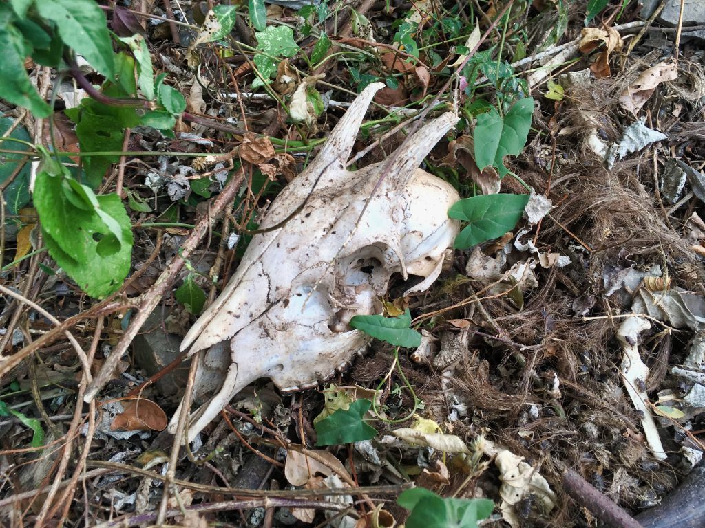
For the most part it was easy going along the old road, with the occasional old landslide to negotiate.
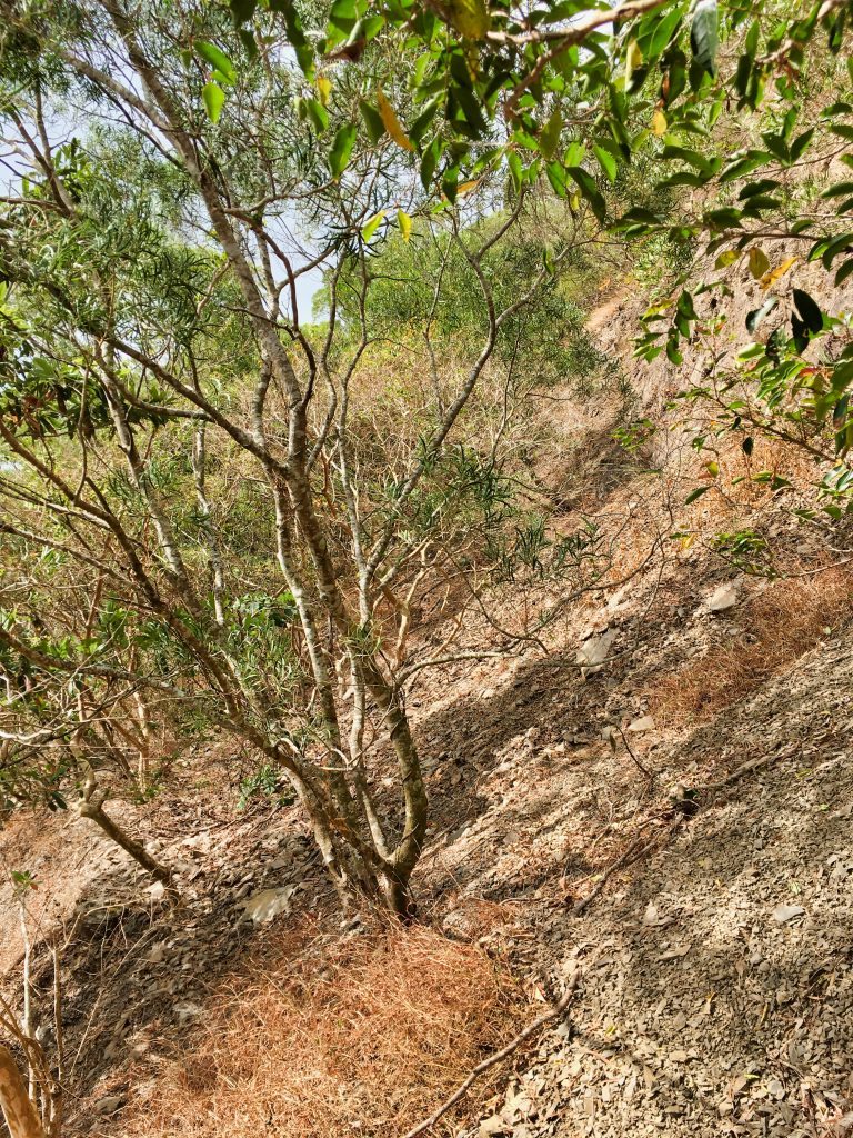
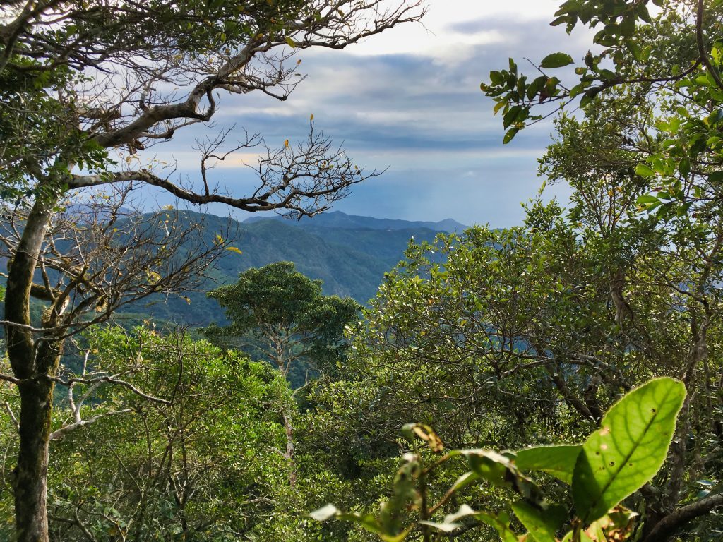
And yes, there are some views along the way, though the weather wasn’t great.
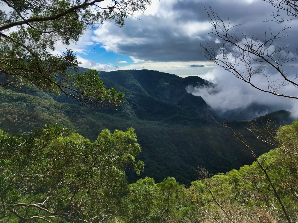
And finally a look at the peak.
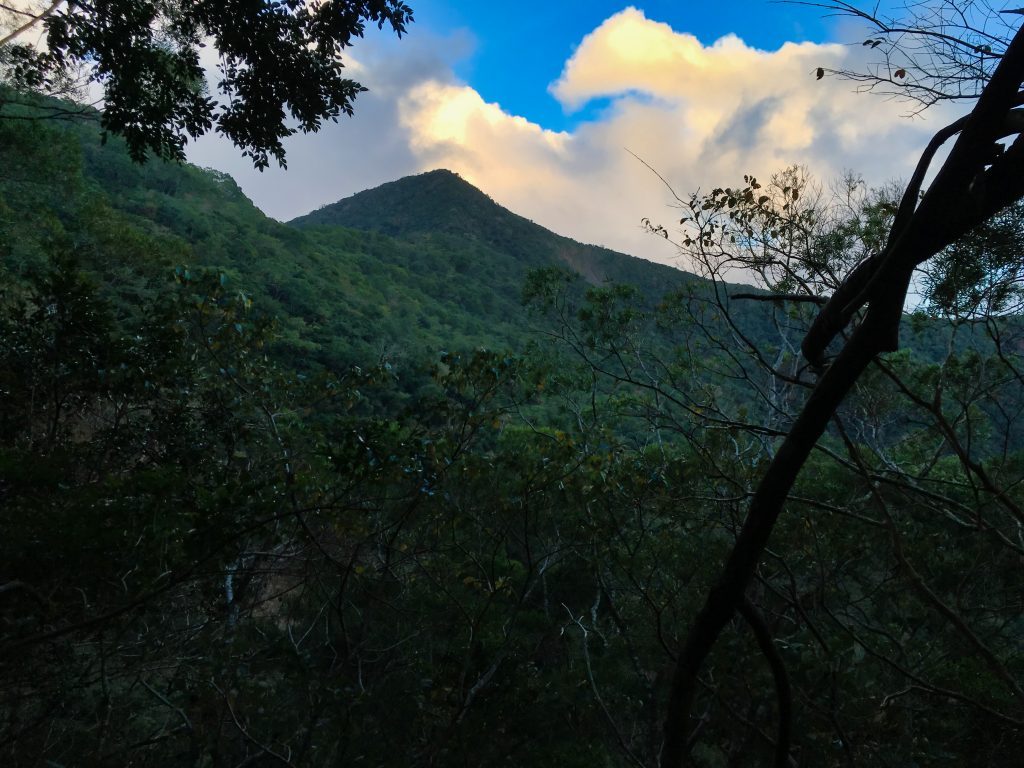
When the old road ended, the hike started getting steeper. Between the road and the peak was this older type of trig point.
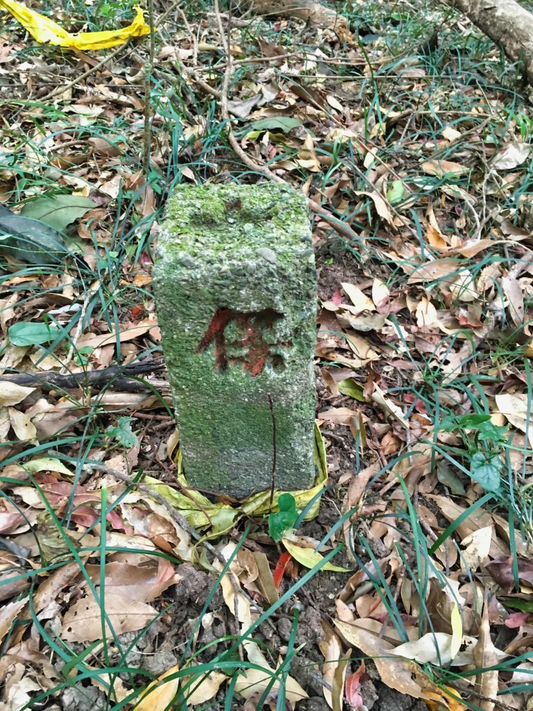
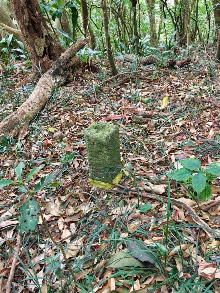
Shortly after this comes the toughest part of the climb, straight up to the peak. And I mean UP!
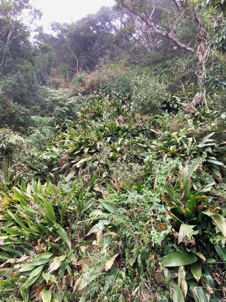
On the ascent you can turn around for a great view…well, I didn’t have one on the way up…
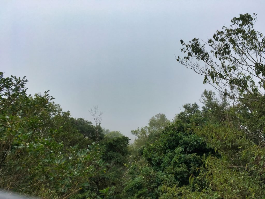
But I did on the way down…
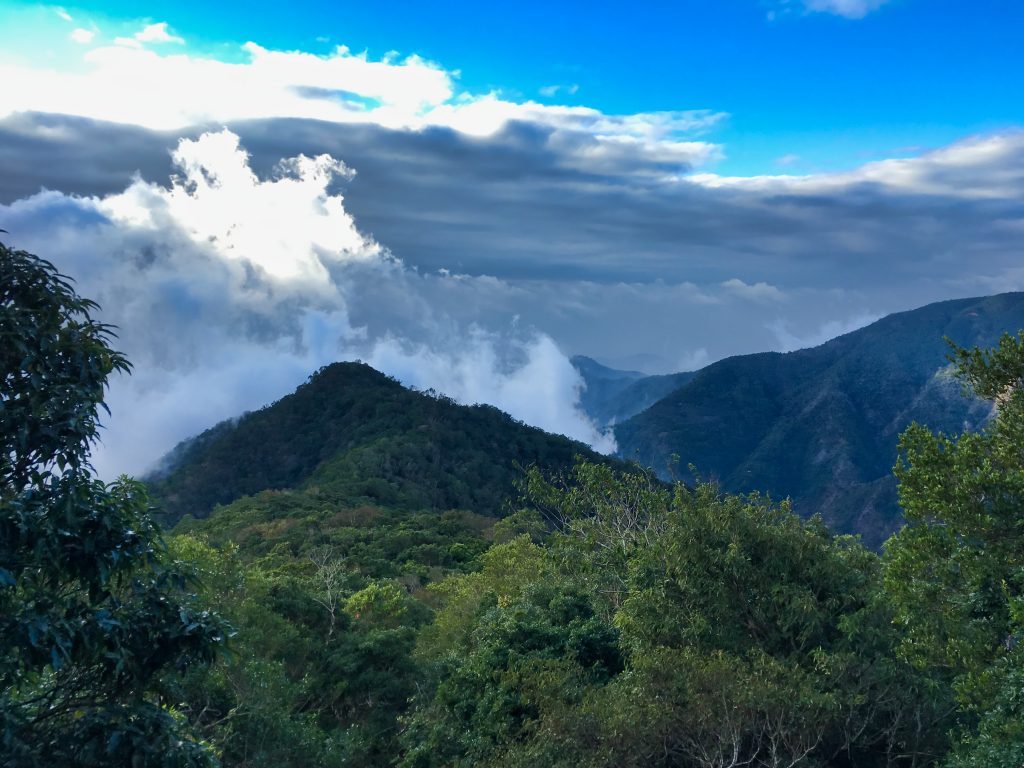
Along the way there are more good views.
Occasionally you can see the ocean, but my camera can’t get enough detail to show it here.
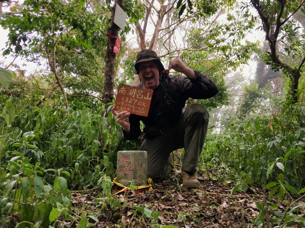
So after a good push up the mountain that left me sweaty, winded and cold…I made it to the peak!
It was a bit cramped up there, but I had enough space for my typical peak pic.
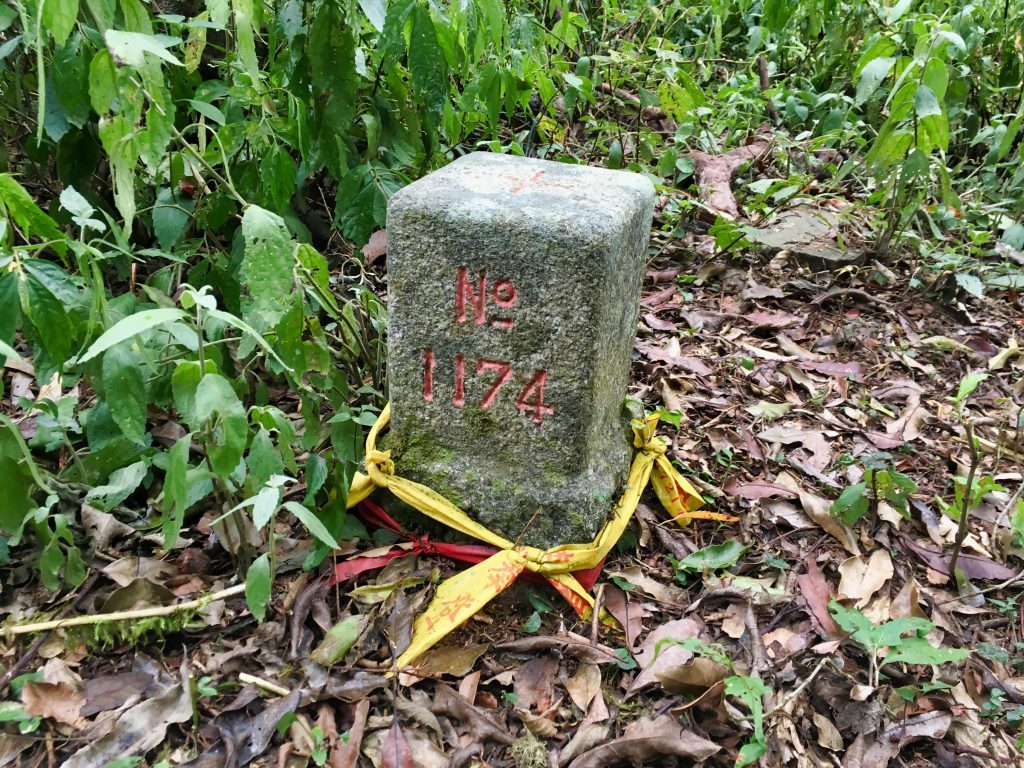
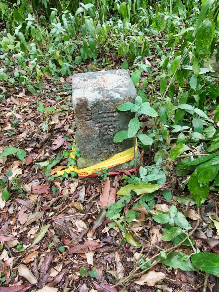
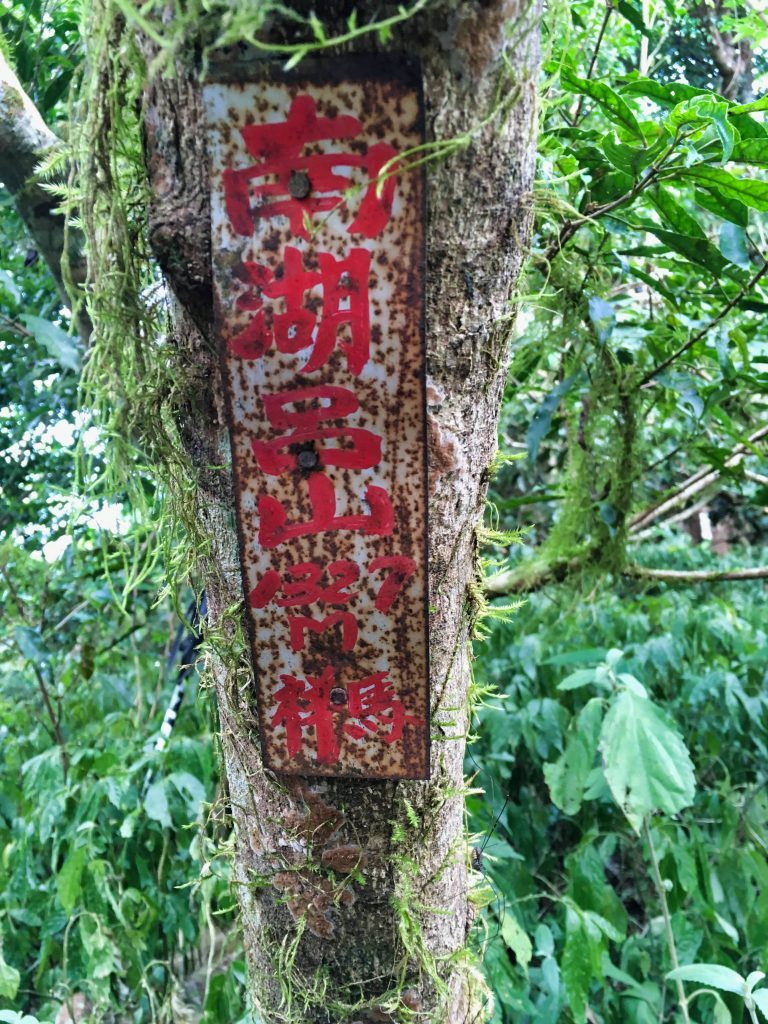
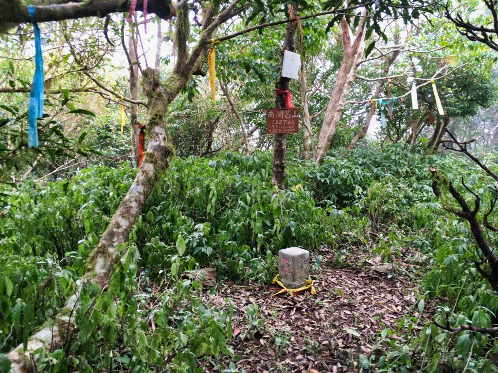
And the trig point and other random stuff I found up there…
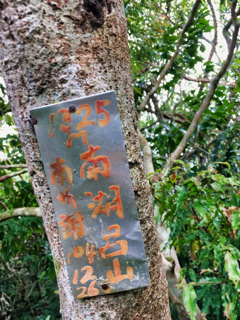
I think a cold front must have been moving through because it was WAY too cold up there for this time of year at that elevation. Luckily I had brought enough extra layers to wear while I hung my completely sweat-soaked clothes to dry.
After a 40 minute rest and late lunch, I headed back down.
I found a cool mushroom growing on a tree.
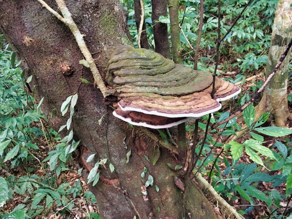
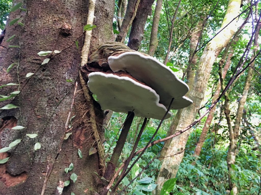
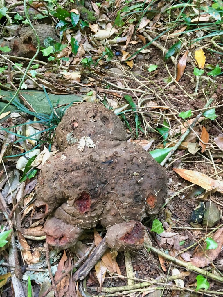
And this…THING…
I have no clue what it is. Some sort of root? Spore? No clue. If you know, please tell me. It looks like a little fat gingerbread man ready to wake up and conquer the world.
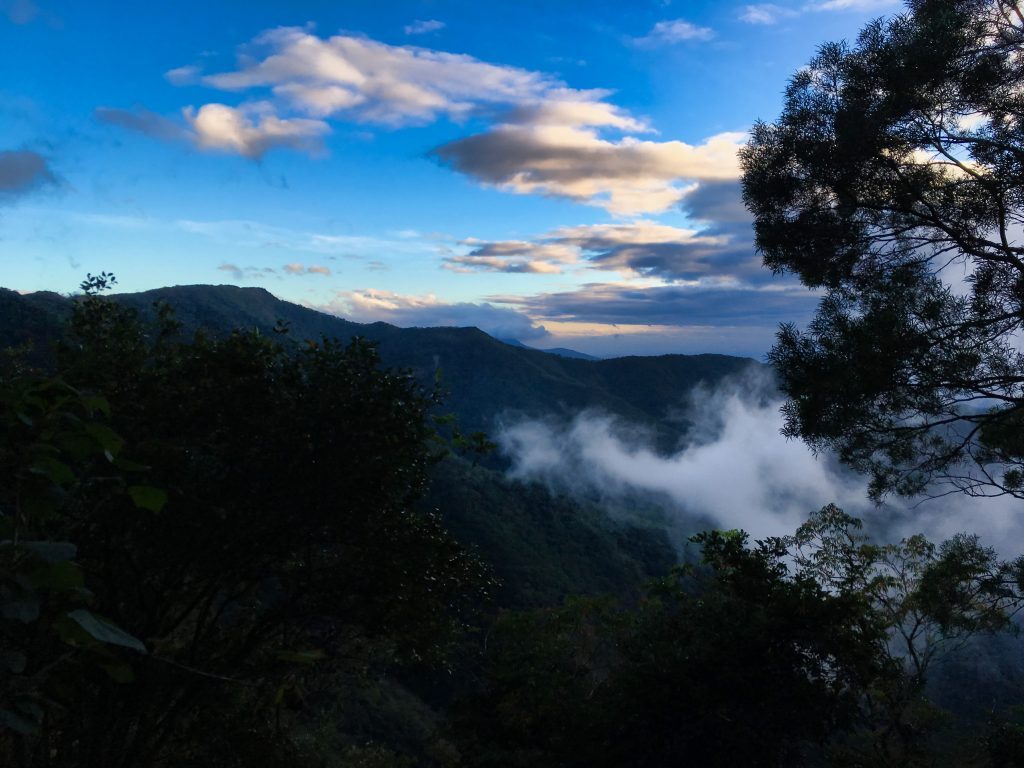
The rest of the way down was pretty unspectacular. It cleared up some and I got better views…
But not much else to write about…well, except this motorcycle mirror I found. Yeah, this was definitely a road at one point.
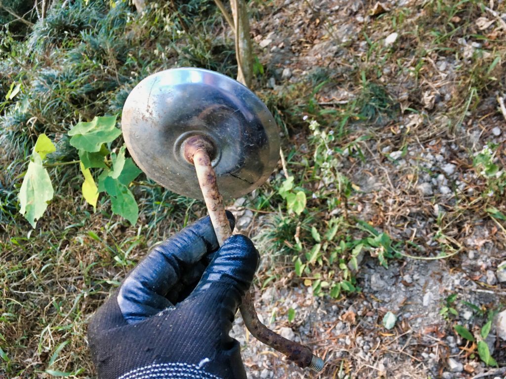
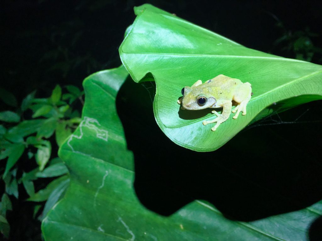
I hiked maybe a good hour in the dark without incident. Right before getting to my bike I found this little guy that wasn’t at all scared.
If you’re thinking about hiking to this peak, I’d recommend the colder months so you won’t have to deal with all the overgrowth. But regardless of the time of year, I would still bring a machete just in case.
Date hiked: 2018 December 27
GPX Track Download Instructions: Click the track on the map to see the download link



![[Valid RSS]](https://outrecording.b-cdn.net/wp-content/uploads/2020/03/valid-rss-rogers.png)
在網路上查詢到您今年到過南湖呂山,我們去年底去之時,發現路跡已斷,不知您是否有gpx檔案,可以提供給我們嗎?謝謝!
哈囉! 請到部落格文章下方的地圖下面按”Download“ (有點小要找一下喔!)
第一次
http://outrecording.com/a8a3309b-4e1b-4fee-b270-68421195df8c/
第一次爬到土石流區, 真是不容易啊!但第二次在土石流發生前爬上去, 還是很不容易, 畢竟地面都是濕滑的。祝你登山成功喔!
2019在南湖呂山頂峰的時候,當時若嘗試往北的山脊線探索一段路的話,你將會發現驚喜