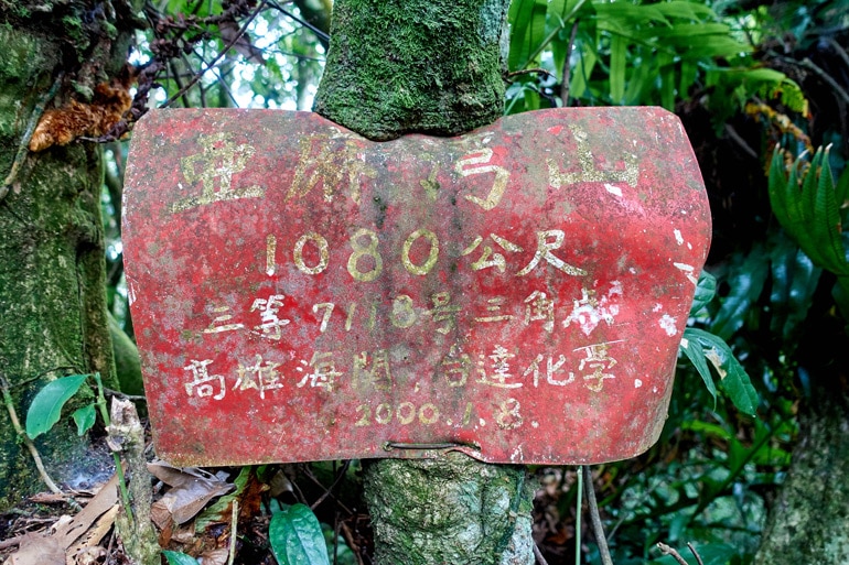
On my last hike past RiTangZhenShan 日湯真山 I saw a sign that read 舊萬安部落 or “Old Wan’an Tribe” in English. I later researched the tribe and its location and found that I’ve driven very near it a couple times a few years ago. I decided to visit the old village, but it appeared it wouldn’t take long to get there. So I found two nearby peaks, YaMaWanShan and YaMaWanShan West Peak – 亞麻灣山 & 亞麻灣山西峰 that I could hike to before I visited the village. Things didn’t turn out as planned, but I had a great little adventure regardless.
The Drive Up
The first peak, YaMaWanShan West Peak is relatively easy to reach. From the Wan’an Riverside Park bridge, it’s only about a 15 minute drive to the trail head.I mistakenly drove a little too far and parked where I thought the trail head was located, and only realized my error after putting on all my gear and leaving the bike.
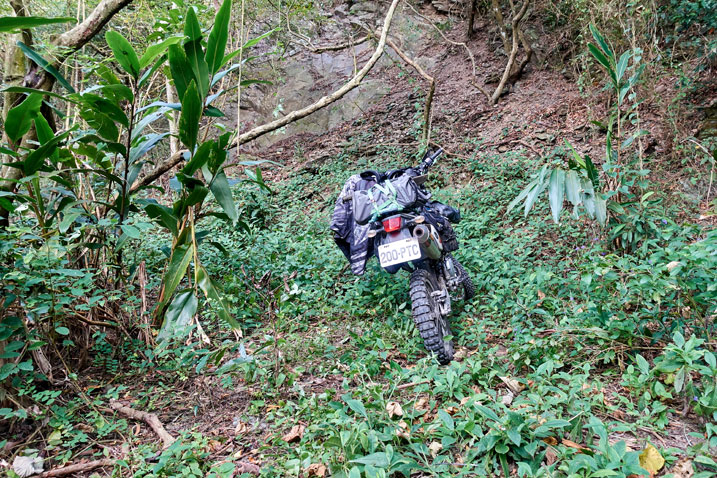
I could have saved myself a 10 minute walk if I was paying more attention. Oh well.
At any rate, I made it to the trail head.
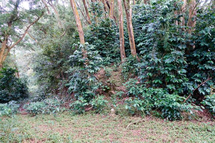
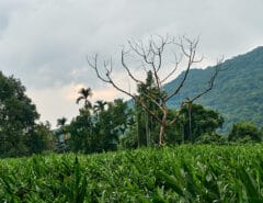
One interesting thing to note that I’ve never encountered on any other hike were the huge amount of coffee trees! I’ve seen them before here and there while hiking, but the sheer amount of them on this mountainside were crazy! Obviously there must have been a farm around here a long time ago. But it’s hard to believe they were planted in this exact location. There were no rows, or organization to the trees at all. They appeared to grow wherever their seeds dropped. They continued the entire way to the peak…
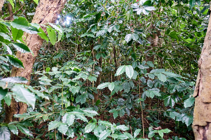
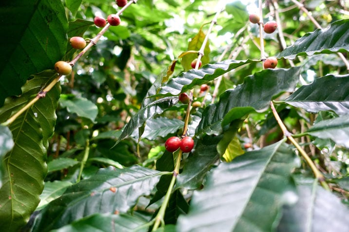
…which lasted all of 10 minutes!
The peak itself was really boring. I’ll get to that in a minute. But first let me describe something that happened just before reaching the peak.
An Unexpected Meeting
The ground was just starting to level off when I looked to my right…and was startled by a young aboriginal hunter quietly staring at me from about 15 meters away. I totally didn’t see or hear him. He caught me completely off guard!
He stood there all poker-faced with his traditional machete on his hip. The first thing out of his mouth was, “Why are you here?”. It didn’t come out menacing or anything, but there was a slight accusing undertone to it. I told him I was going to the peak. And as usual, he asked “Are you alone?”. (This is a common question I get whenever I meet someone in the mountains) I replied ‘yes’ and then he asked if that was my motorcycle over by the road. I again said yes. Then it was my turn. I confirmed if he was a hunter, and he was. I asked if there were traps around. He said there were. Then I asked if there were any between here and the peak. He said no, not to worry.
He obviously hadn’t come up the same way I did. So I asked him if he came from (pointing behind him) that direction? He said he did, but it’s not safe or easy to go that way. It’s best I go down the way I came. (I’m paraphrasing) After that we parted ways and he told me to be careful – also a common thing I’m told out here.
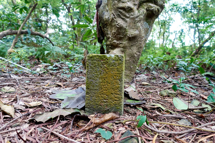
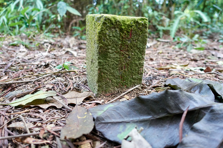
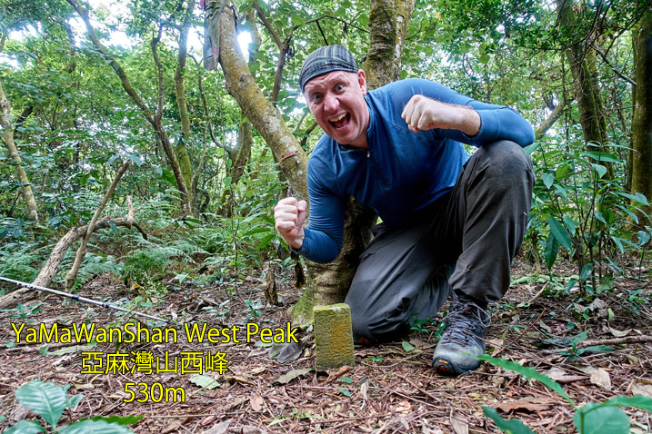
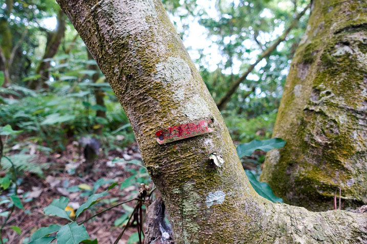
YaMaWanShan West Peak 亞麻灣山西峰
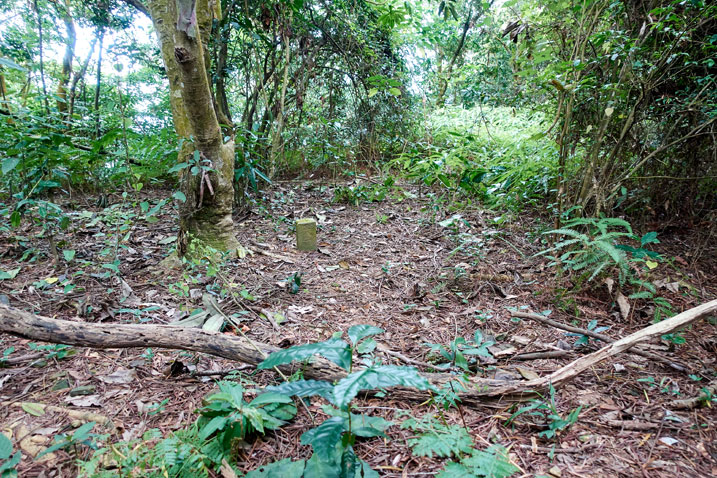
YaMaWanShan’s west peak is barely worth talking about. I would not recommend going to the west peak unless you are peak bagging and want an easy one. It’s super easy to get to but there are no views or anything of note to write about. All I can do is leave you with these pictures and move on to the next part of the hike.

Locating the Next Trail Head
Whenever I choose to do a hike, there’s always a fair amount of planning going into it. One of the things I always do is find as many GPX tracks as I can. I’m guaranteed to find at least ONE GPX track, regardless of how obscure the hike is. But this time I could not find a single track anywhere for YaMaWanShan. The best I could do was find a few blog posts with pictures. They weren’t much, but gave me a rough idea where the trail head might be.
From what I found, there appeared to be two possible trail heads. On my ride deeper into the mountains I passed a small sign on a tree with the name “亞麻灣山” on it. It pointed to an old overgrown road on my left. Ok, great! I knew where the trail head was. But I wanted to first see if I could try the other trail head that starts way up on the ridge. I mean, why not start from up high and save myself all the trouble of hiking up?
Mystery Building
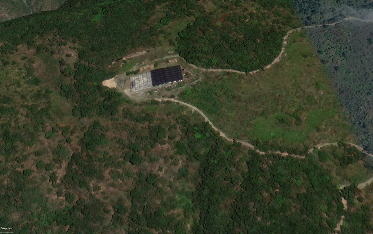
The only problem with the ridge trail head was accessing it. There is a dirt road that winds its way up the mountain to what I could only guess–from google satellite images–was some kind of solar farm.
Ok, maybe it’s not a solar farm, but the roof of that structure sure looked like solar panels to me.
Anyway, I had once tried to drive up there a few years ago, but was stopped by a chain gate that blocked the way.
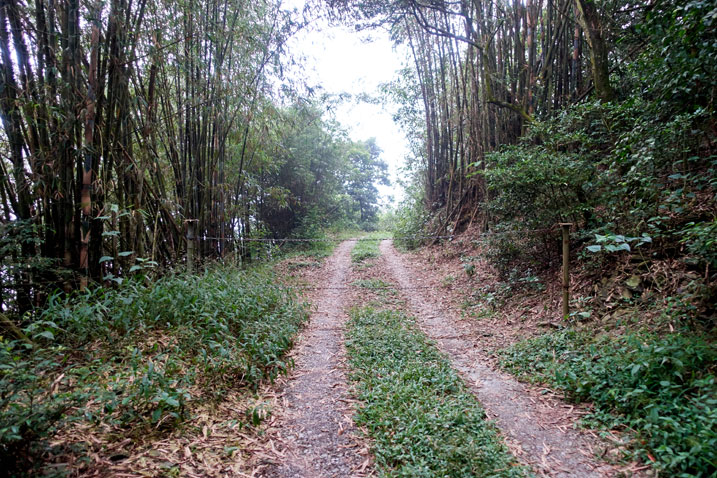
There’s no way I would hike up that far, even on a road, but if I could drive it I would. Well, I got lucky this time around because the gate was open!
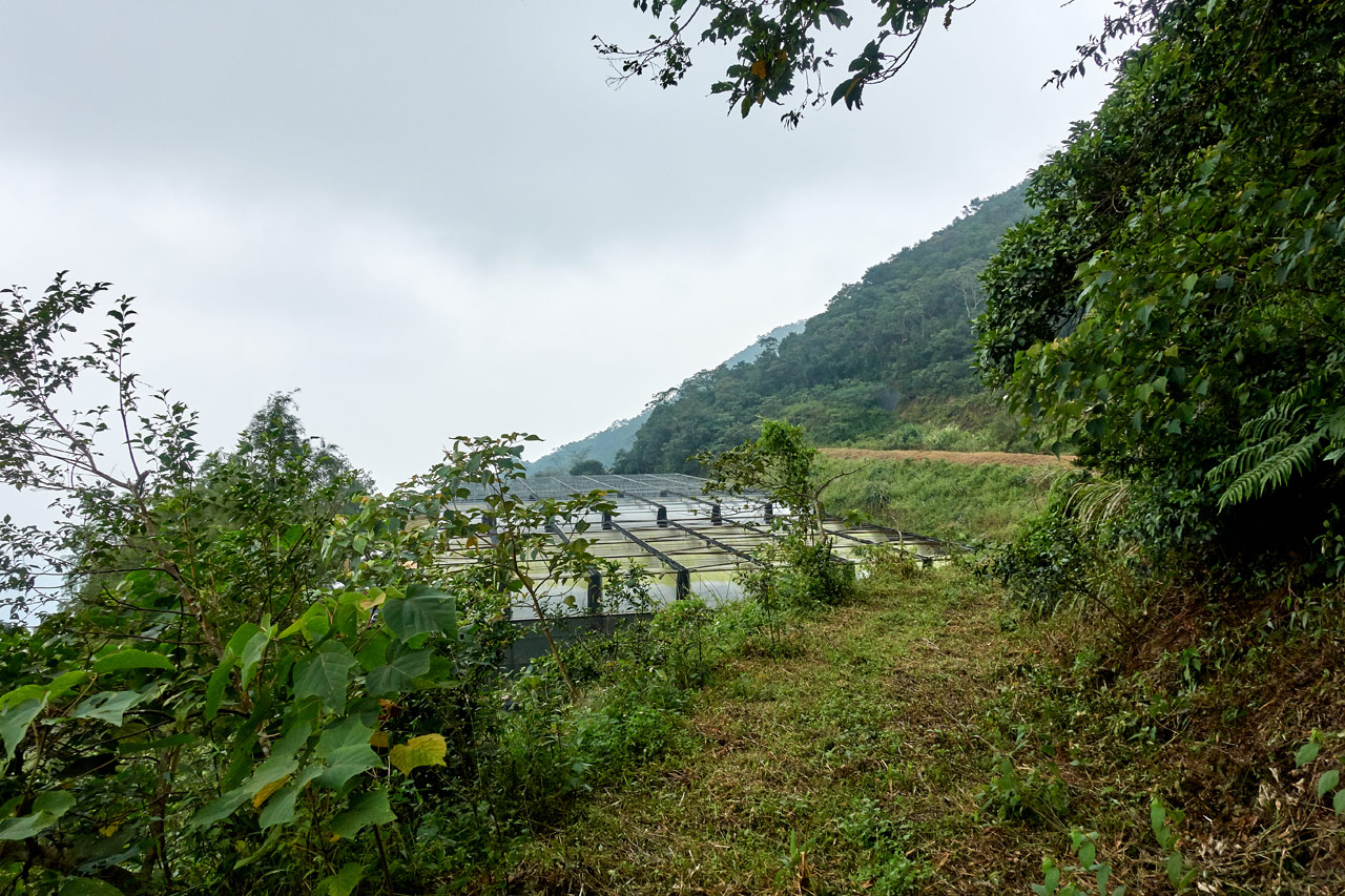
I drove up to the top and discovered that the “solar farm” was actually a flower nursery. Here’s a shot from later on in the day.
There were some workers and trucks next to the nursery. I drove up and briefly spoke with one of the men working there. He didn’t think there was a road or trail beyond the nursery (there was) but didn’t seem bothered if I wanted to go up there and look. I said goodbye and drove up.
A Bad Idea
I drove up the mountain and the trail quickly became pretty bad.
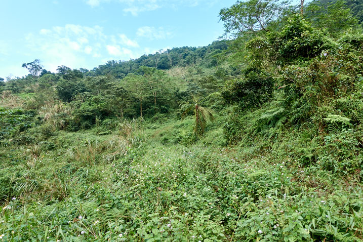
The road is still there, but it’s very much overgrown as you can see. Someone must still be coming up here periodically though, because there was a very slight trail in the middle of it all. I followed it up and made it to the ridge in no time.
Except…
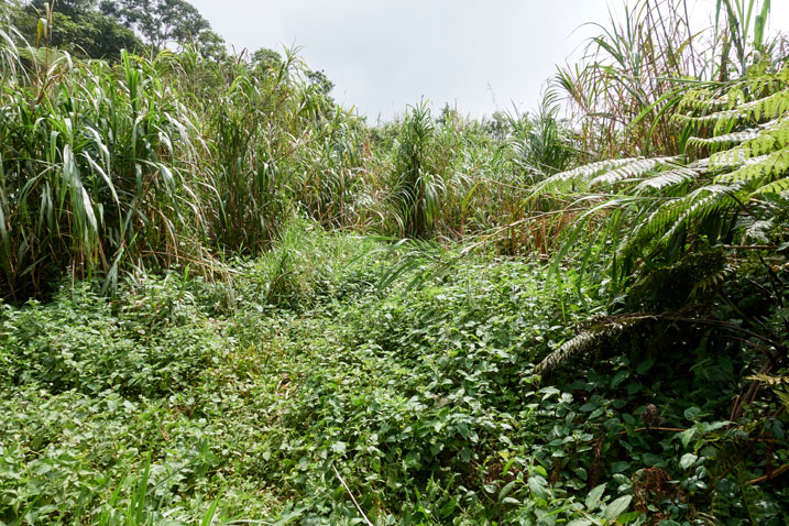
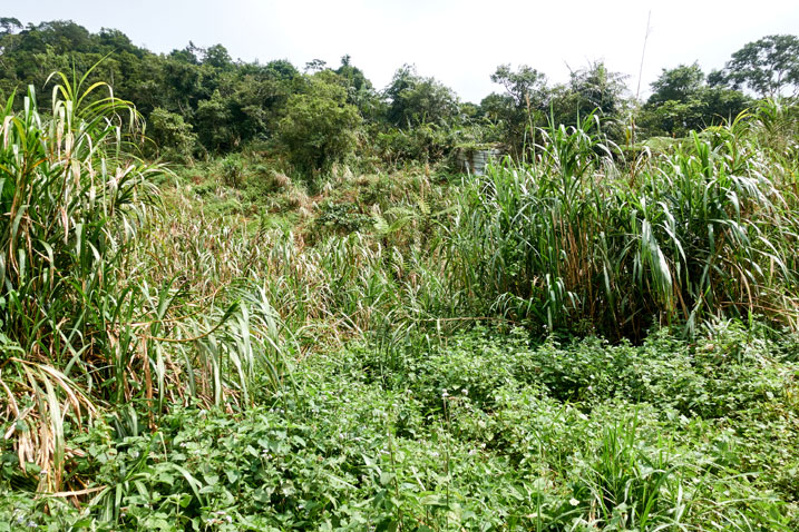
This was NOT what I wanted to see when I got up there. You can tell this used to be farmland from the lack of trees and that large structure in the above picture. Here’s a closer look.
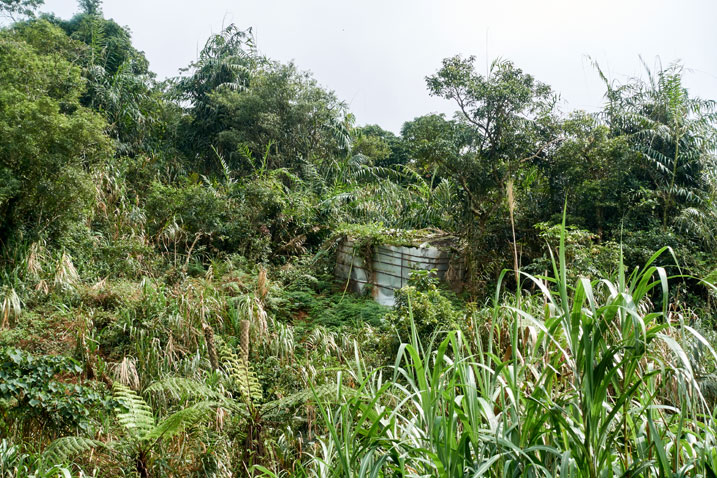
It was probably a water container.
After I arrived, I briefly considered if I should ditch this plan and drive back to the other trail head. Nah! I was here. Why not give it a shot?
So I parked my bike and set off.
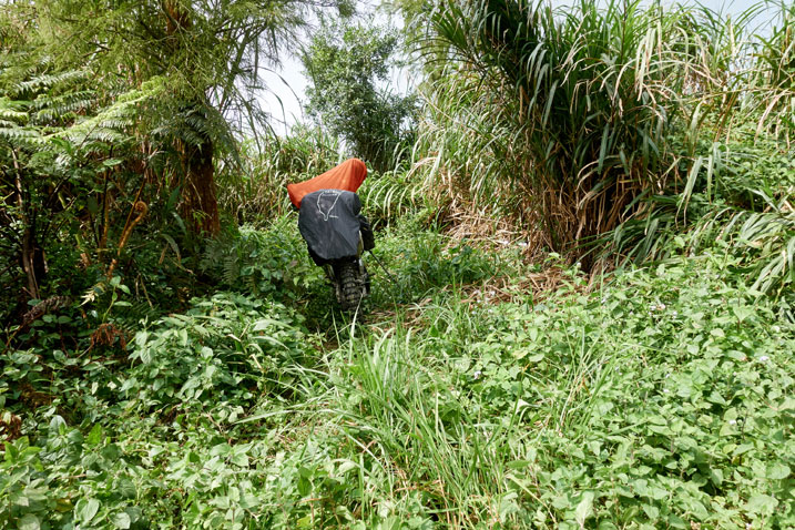
Somehow I DID manage to find the trail, but it was a total disaster.
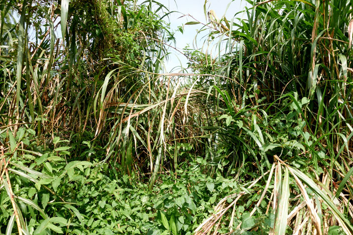
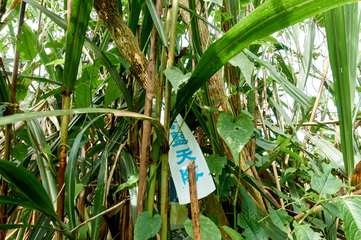
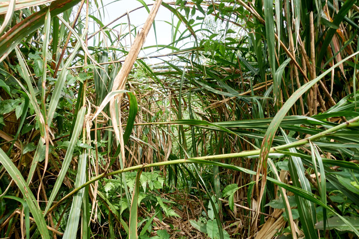
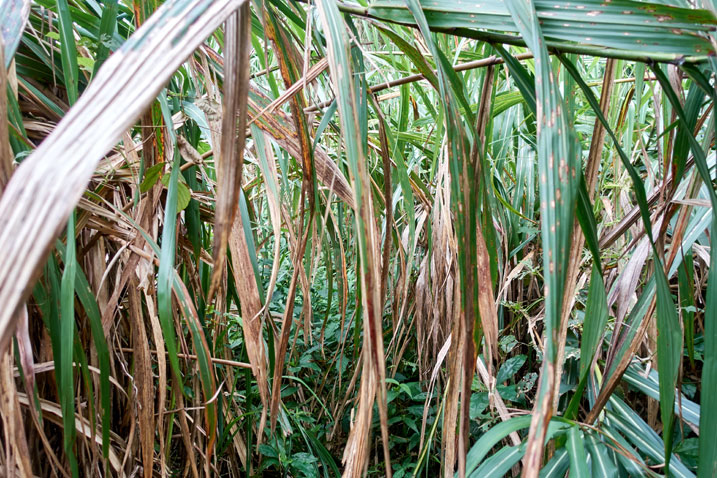
Against my better judgement I pushed on. I’ll give you the short version of this part. I spent all of 20 minutes hacking my way through this mess before deciding it wasn’t worth it. At the rate I was going, it would take me all day and then some to reach the peak. Forget that!
Here is where I called it quits…
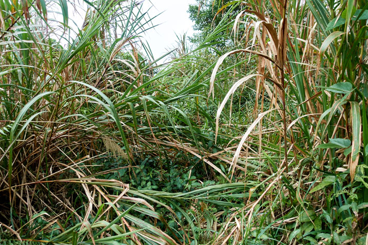
I cut back a different route to my bike and drove back to the first trail head I found.
Trail to YaMaWanShan 亞麻灣山
It was just after noon when I arrived and got all my gear together. The road to the trail head could barely be described as a road, but it was drive-able.
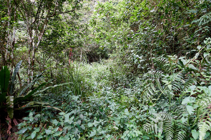
Thankfully there were trail marker ribbons to show me the way. This was the part I was slightly apprehensive about. I wasn’t worried about getting lost–I could always follow my GPX track back to where I started–but I did worry that I might not find the peak. But whatever. This would be a different kind of adventure; one I would have to be more observant. My tracking and trail finding skills would be put to the test. It was do or die time!!!
Hahaha…Ok, it wasn’t anything like that. In actuality it wasn’t all that bad. There were plenty of trail ribbons to follow. To be honest, there were almost TOO many.
The trail started like this…
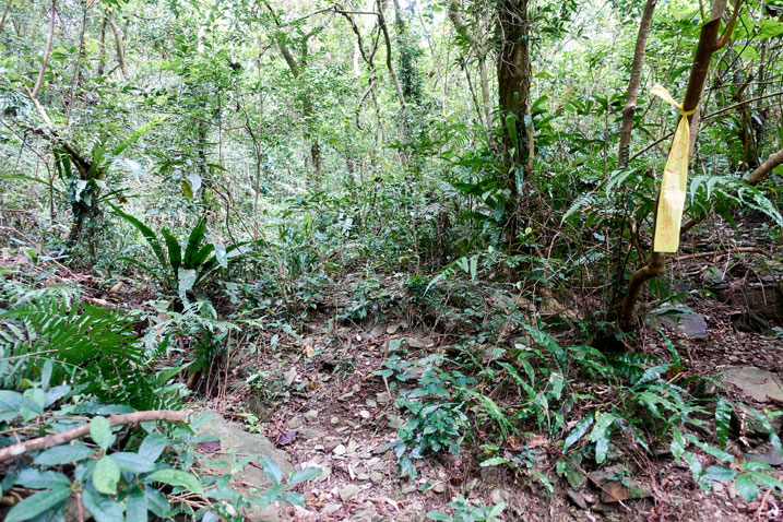
…and the rest of it looked more or less exactly like this…
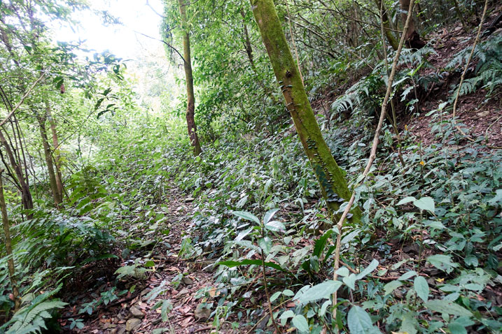
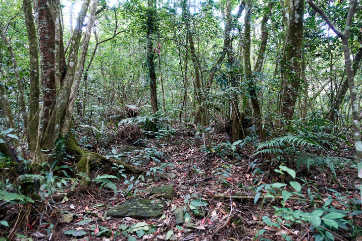
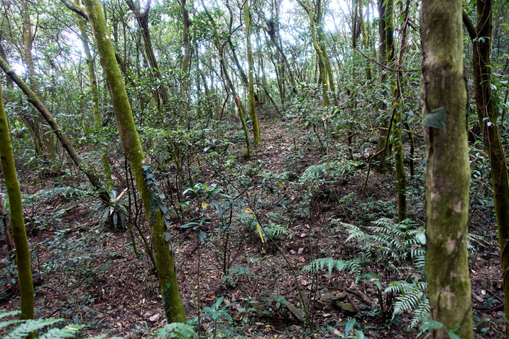
I got turned around at one point and wasted some time. There were a lot of game trails or lines that looked like trails to follow. I even crossed an old road network several times. Oh, and there were those stupid little bugs that dive bomb your ears and eyes. They were constant, but not nearly as bad as my hike a couple weeks prior.
I believe I made it to the ridge in just under an hour. It would have been quicker if I hadn’t of gotten turned around.
The Ridge Again
Oh the ridge… 😥
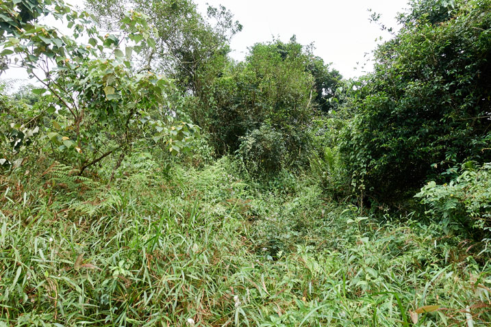
On the one hand it was good to be out in the sun – those terrible bugs didn’t follow. On the other hand…well, I mean…LOOK at it!
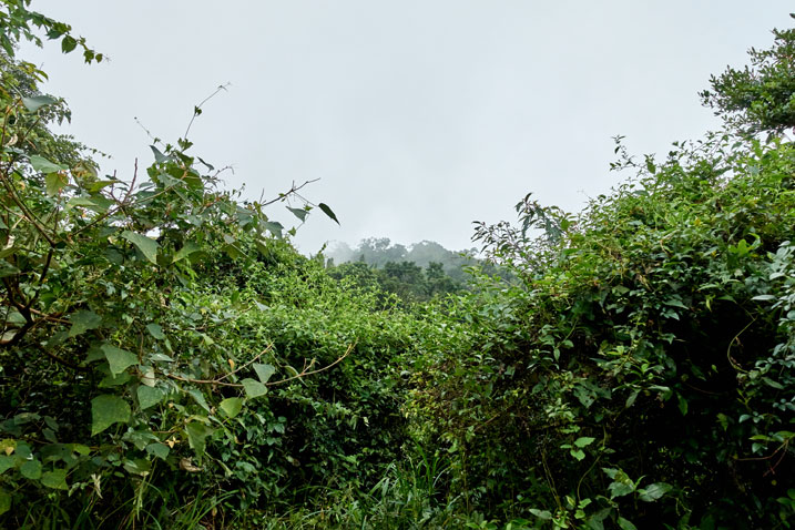
I was only four or five hundred meters from the peak, but it seemed much, much further with all the overgrowth I would have to climb through…and sometimes under.
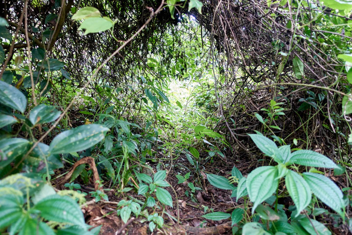
The biggest problem I faced was not being able to see where I was stepping. The ridge was quite rocky in places. But all the plants completely covered the rocks. One misstep and you could easily break your ankle. It wasn’t really dangerous. It was just annoying because it slowed me down.
Here’s a good look at what I mean.
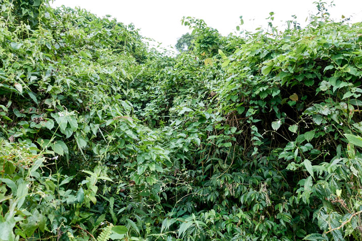
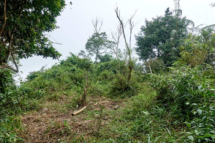
I spent about an hour trying to navigate the ridge. In the middle of it all was this open area where someone must be spending their spare time. Maybe a hunter comes here.
I mentioned the ridge wasn’t really dangerous. But there was one section where you’re teetering on the edge of a very steep slope. You could easily fall. From there you have to climb up and cross over to the other side of the ridge. But it’s not readily apparent. I had thought I needed to keep going straight (which would have been a grave mistake) but my instincts told me I was wrong. ALWAYS trust your instincts.
Long story short, I made my way up the ridge without incident.
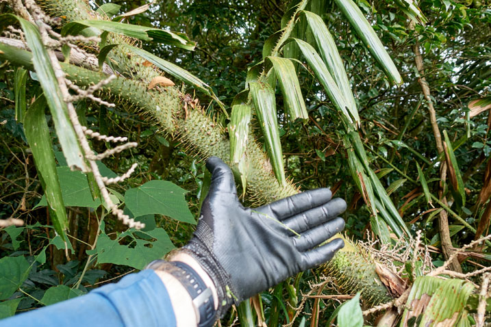
For anyone considering this hike, I should mention that there are some “hell spikes” (as I like to call them) along the ridge.
There is also a thick patch of bamboo. But don’t worry; there is a clear trail through and around them.
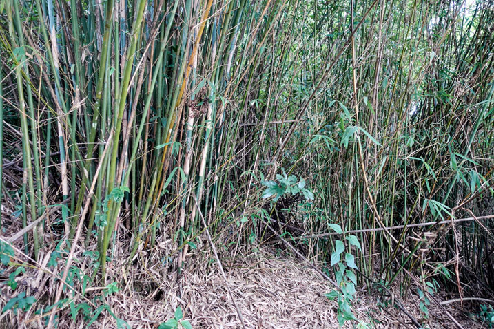
Shortly after the bamboo there was a final steep-ish incline and I arrived at the peak!
YaMaWanShan 亞麻灣山 Peak
The peak wasn’t particularly interesting.
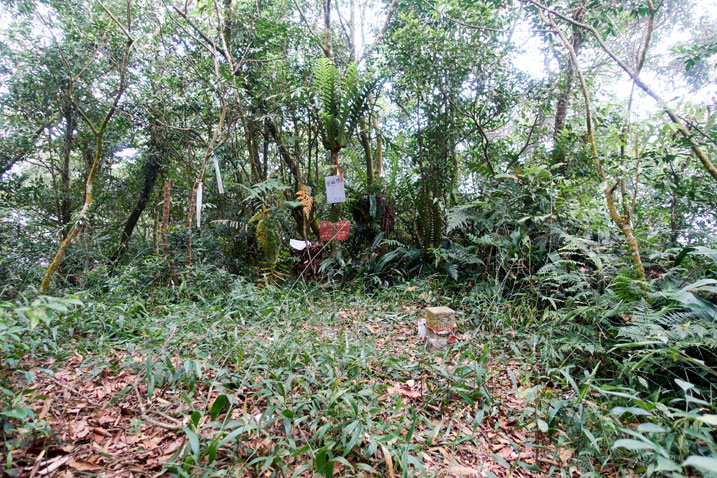
Just like its west peak, there was no view. But I was happy to be there all the same. Probably because of all the effort I put into getting there. And because I made it without a GPX track to follow. That was a first for me.
My time was looking pretty good, so I was in no rush to leave. I took a nice long break and later took my usual series of pictures.
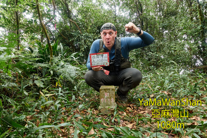
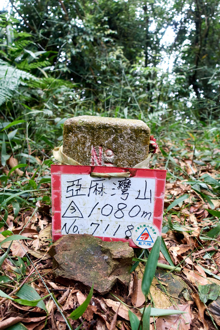
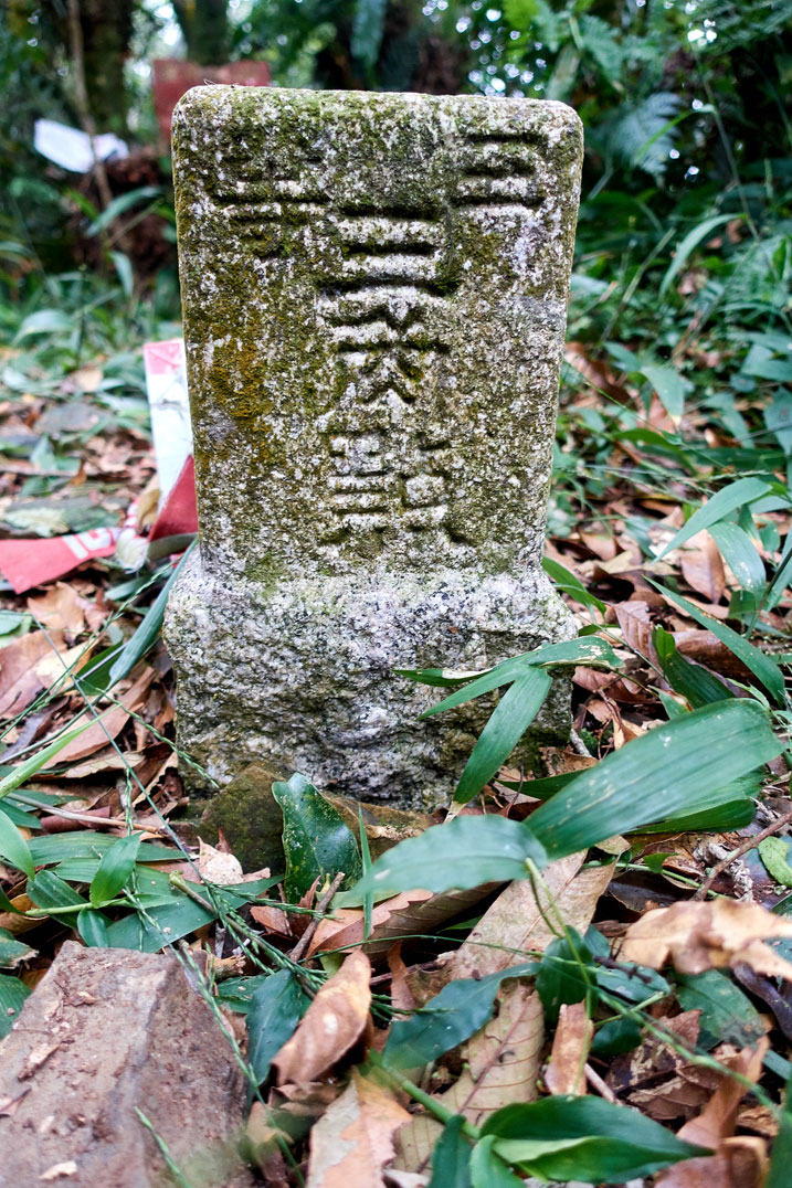
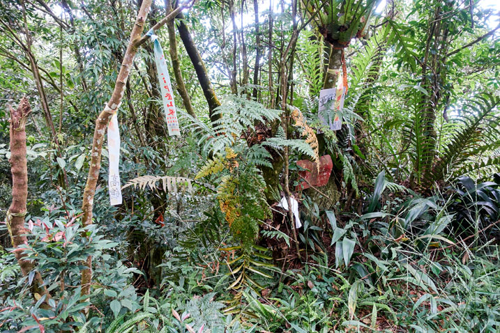
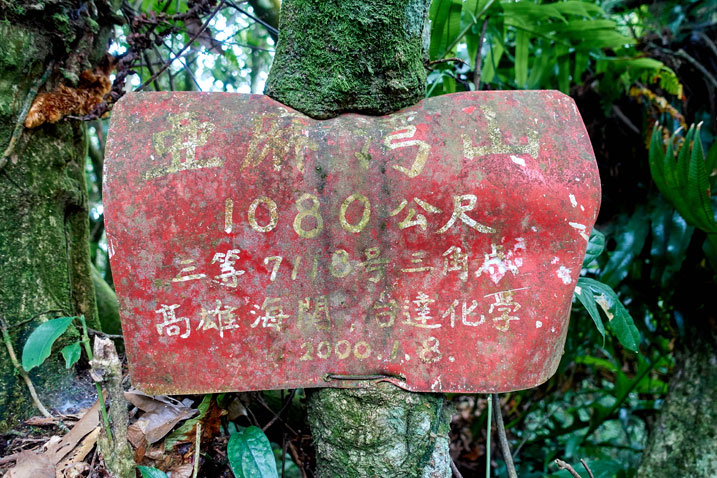
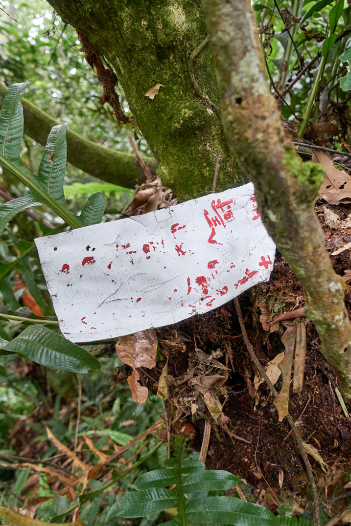
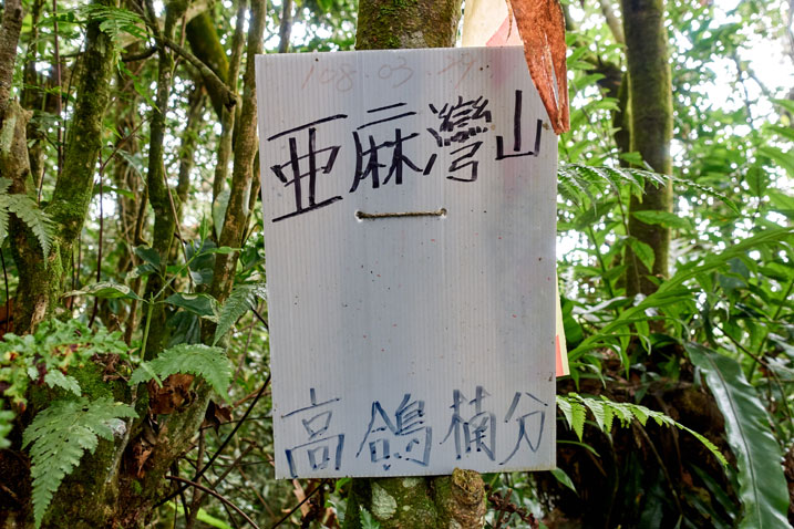
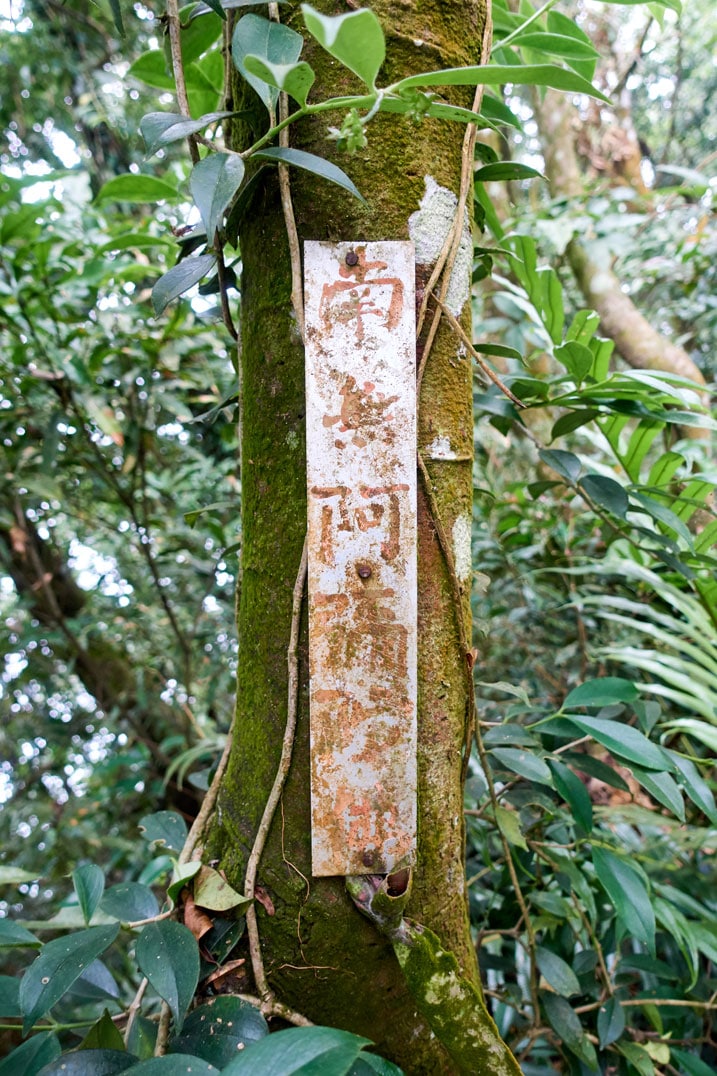
After the pictures I packed up and headed back.
A Third Trail
This is usually where I’ll end my posts. But this hike had one more little adventure waiting for me. On my way up to the peak earlier, I passed these signs.
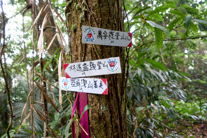
They were located about 50 meters down from the peak. And one of them pointed to a different trail! I was really happy to find this other trail because, to be honest, I really didn’t want to hike along that ridge again. Also, during my research I had found one blog post that showed a route that takes you by an abandoned house. I had been looking for it on my way up. When I didn’t see it, I knew there must have been a third trail to the peak. (I believe there is also a fourth trail coming from the direction of the west peak.)
So…I made my way down the mountain and took this new trail to wherever it would lead me.
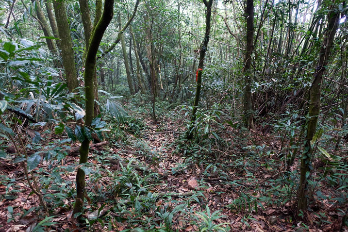
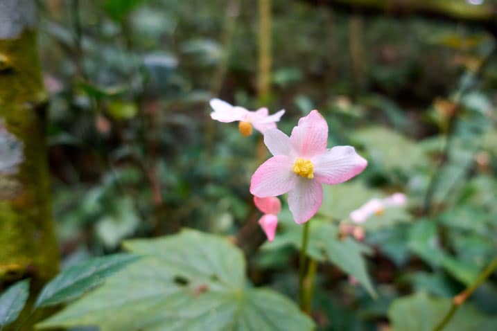
It was more of the same scenery like when I hiked up. I won’t bore you with all the same looking pictures. But here are a couple random pictures I took along the way.
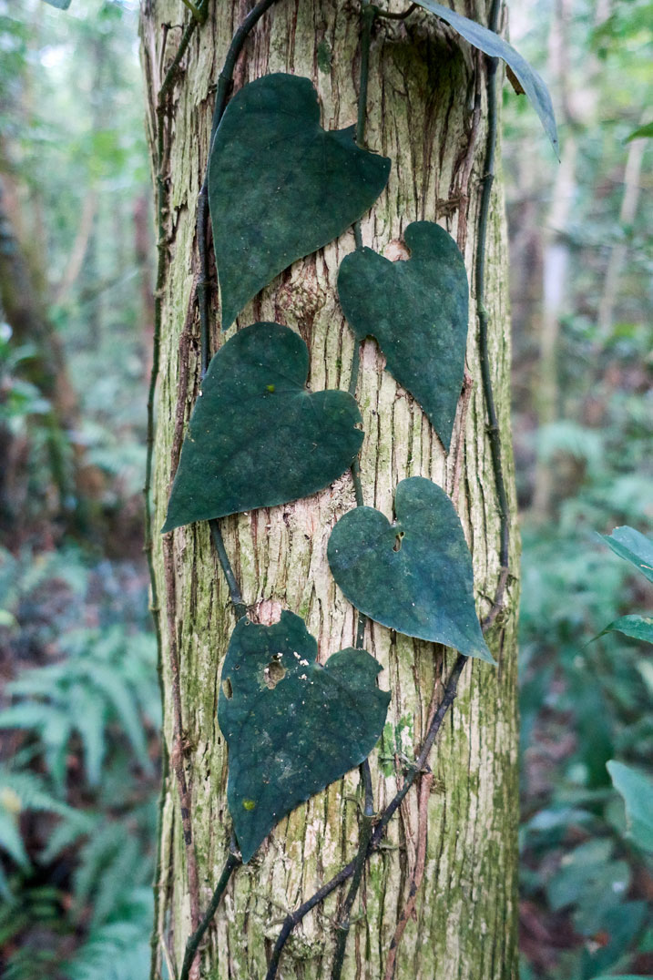
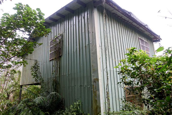
Abandoned House
It took all of 35 minutes to make my way down to the abandoned house. I knew exactly what it would look like from another hiker’s blog post. It’s nothing special. But I was still interested in seeing it for whatever reason.
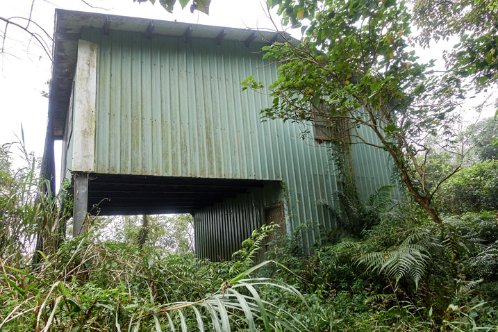
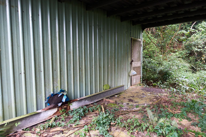
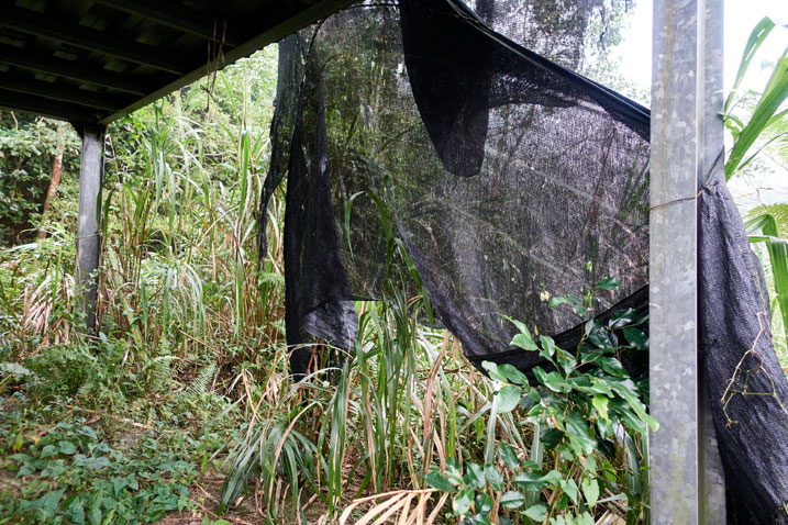
Behind the house.
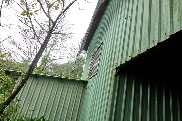
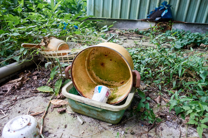
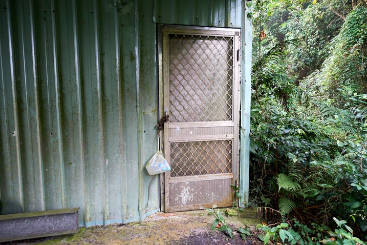
The door was chained shut. I wasn’t about to break into the place.
Here it is from a distance as I’m leaving. And yeah, that used to be the road that led to the house.
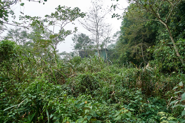
I always wonder what the story is of these abandoned houses or structures in the mountains. I’m sure it’s something simple like, the owner grew old and died and the kids wanted nothing to do with the place. And just thinking that there was a road that wound its way up the mountain to reach the house…and now it has been completely devoured by the jungle. I don’t know. It’s just kind of like “huh…damn…”.
Getting Lost
It was about 3:30 when I left the house and I had a solid two hours of daylight left. I wasn’t in a rush…yet.
I followed the “road” to leave because that’s where the ribbons told me to go. But it was tough going.
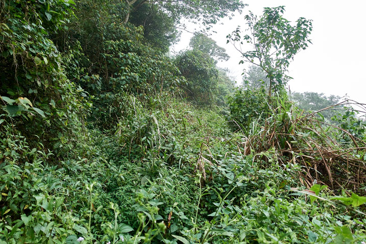
My machete was getting plenty of use in this section.
I kept going until something odd happened. The marker ribbons went UP the mountain. I thought, Ok…maybe this road gets too difficult and the trail goes up and around it. Well, it didn’t.
The trail went up and BACK the way I had came. For whatever reason I followed the ribbons and made a circle. I retraced my steps to see where I went wrong, but I couldn’t find any other path, so I committed to following the road.
By now it was 4 o’clock and I was slightly worried about my time. Apparently I was on a different trail than the one those people took in the blog post I read. Ok, so FIVE ways to get to this peak huh?
As I mentioned, this road was bad.
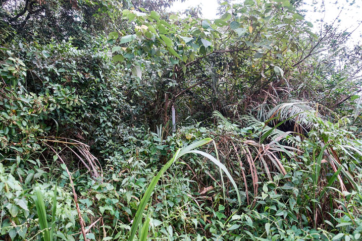
But it seemed I had little choice but to follow it and hope it connected up with something.
The Final Leg
Looking at my map I could see I was getting close to the flower nursery. I thought I could cut my way through the jungle until I reached it, regardless of where the road went. As I neared within a hundred meters of it, I came to an open field with a sight that left me completely gutted. A hundred meter high “wall” of a mountain between me and the nursery. 😥
Yeah, don’t forget that satellite images don’t display elevations too well. Damn. There was no way I was getting to the nursery. But thankfully the road continued on a path that looked like it MIGHT connect up with the road that goes up to the nursery. Anyway, I had no choice but to keep following it.
The road was a little easier to navigate, but I wouldn’t say it was easy by any means. I followed it and guess what? Yeah, it connected up with that road a little below the nursery. I was pretty happy to be on the main road again.
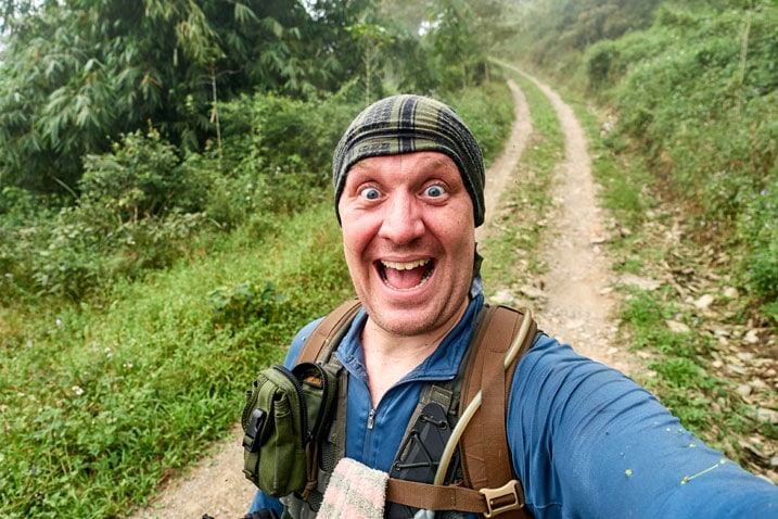
But I was a mess.
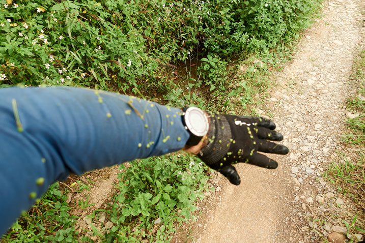
Long Walk Back
It took me an hour to walk back to my bike. I had hoped the workers from the nursery were still there and could give me a ride when they passed me on the way down, but that didn’t happen. Towards the bottom I saw the chain link gate had been put up. They must have left some time ago. Oh well…
I made it to my bike just as it got dark. Perfect timing I would say!
And yeah, I didn’t make it to the abandoned village, but I can always come back.
Date hiked: 2019 October 24
GPX Track Download Instructions: Click the track on the map to see the download link
Track going to YaMaWanShan Main Peak and West Peak. You don’t need to follow it all the way as far as it goes unless you wish to see the flower nursery.
Track coming down from YaMaWanShan via alternate trail

![[Valid RSS]](https://outrecording.b-cdn.net/wp-content/uploads/2020/03/valid-rss-rogers.png)
Leave a Reply