There was a road that linked up to a trailhead not too far(ish) from the peak, but the road disappeared long ago from a landslide. From where I parked it didn’t look too far (And it wasn’t) but there wasn’t much of a trail to get to the main trail. It was a makeshift trail to say the least.
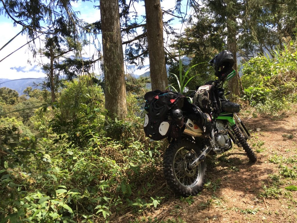
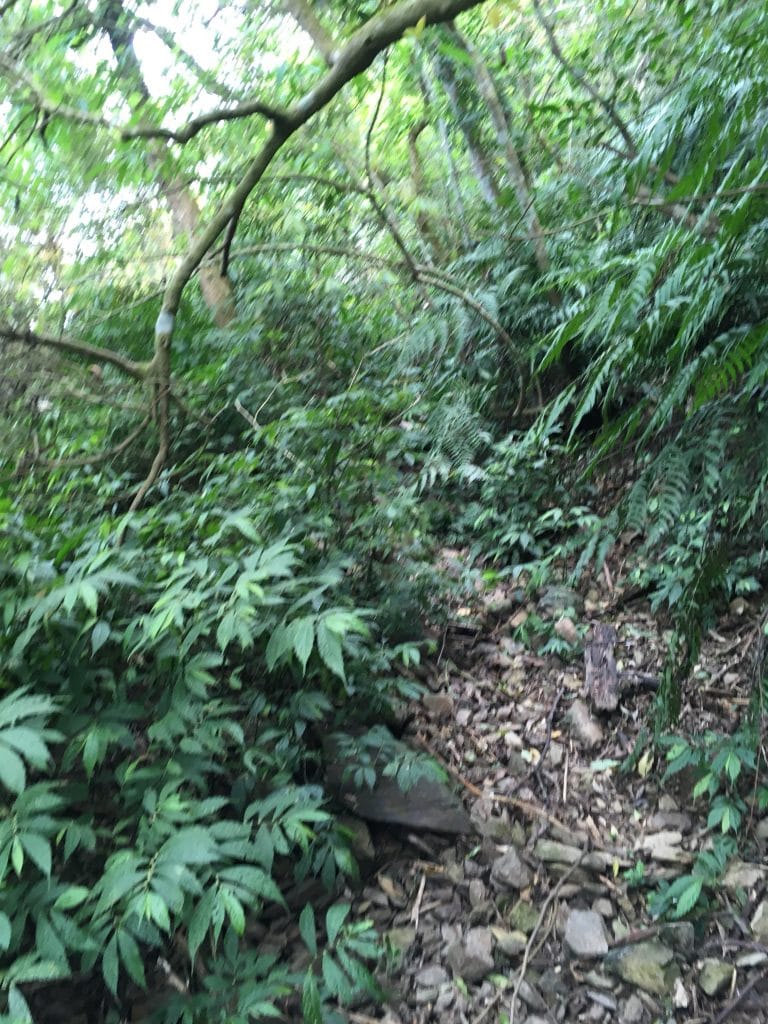
There were no markers to guide you other than some bark cut off some trees. And the elevation gain was pretty steep (for me at least). My GPS says 150 meter elevation gain in 500 meter distance for the beginning part.
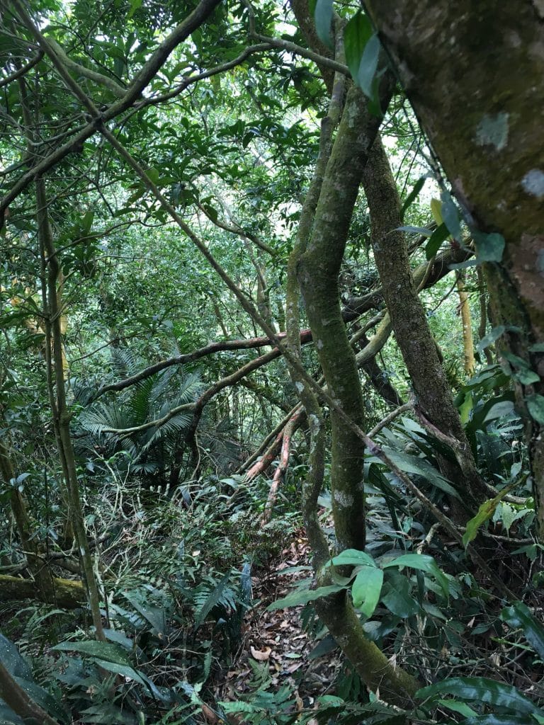
The rest wasn’t as bad until then end. Took me three hours to get to the peak and about two hours to get back.
There was no view at the top and wouldn’t have mattered anyway, fog rolled in obscuring everything.
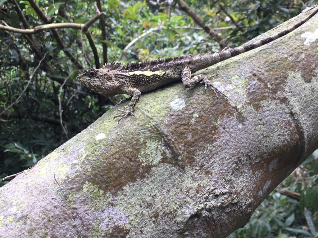
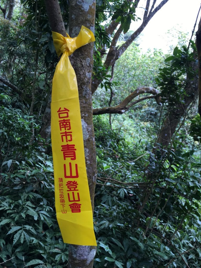
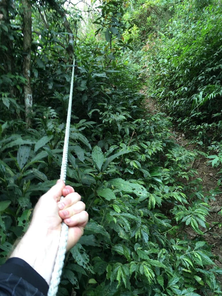
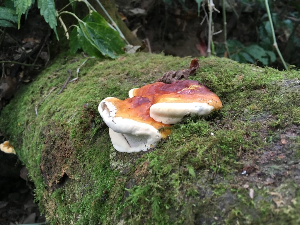
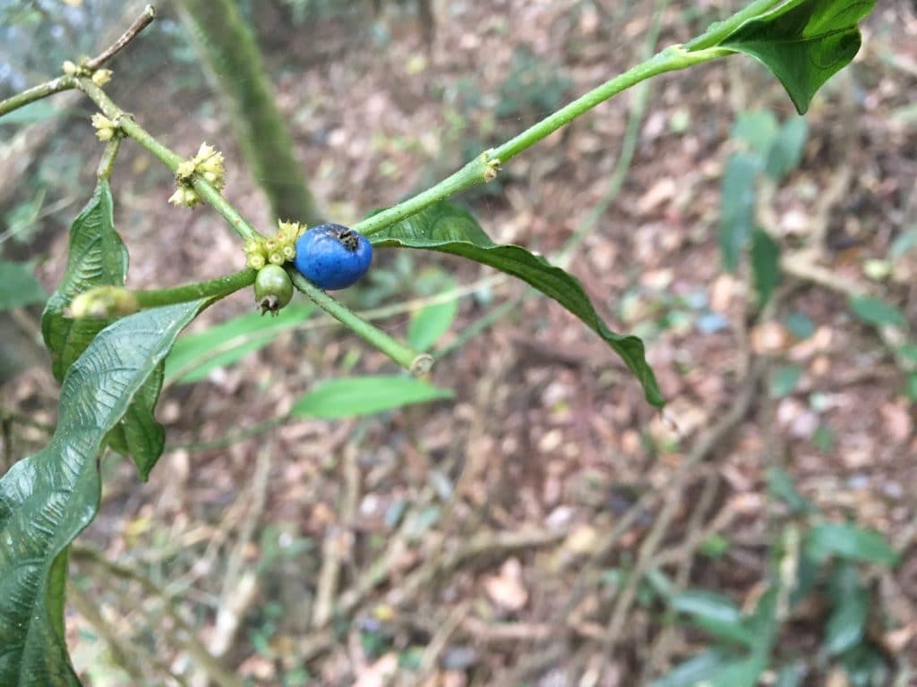
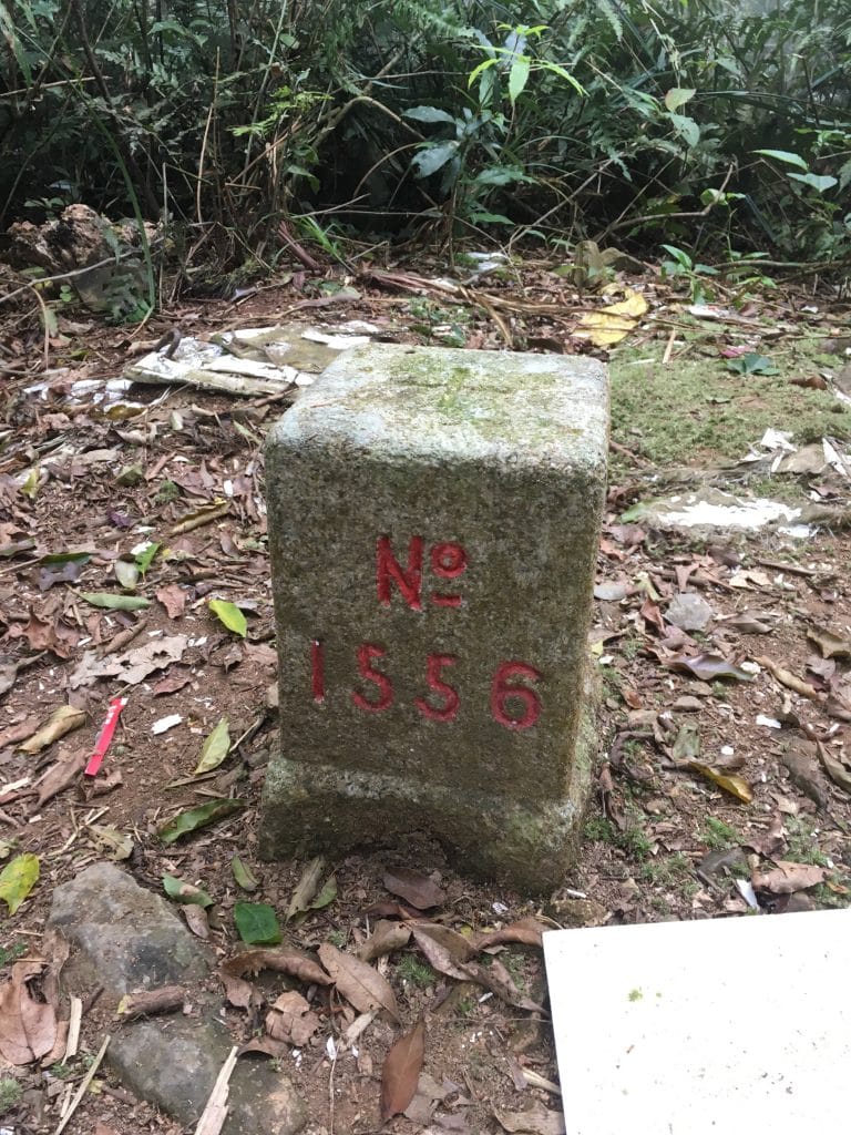
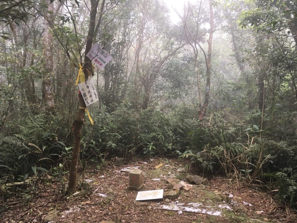
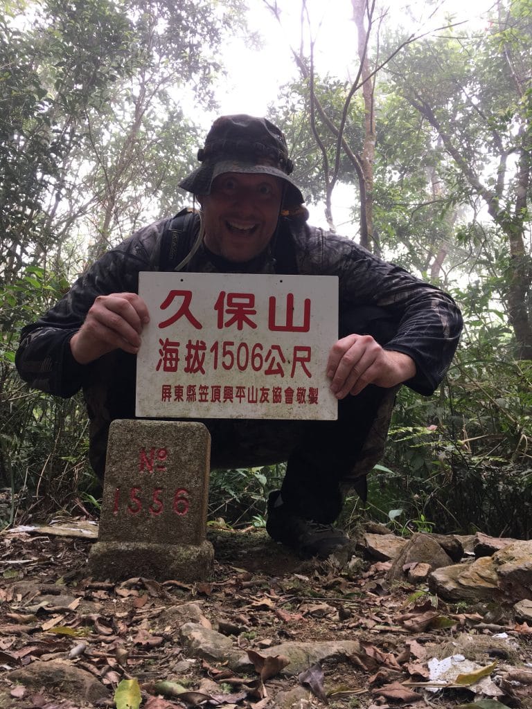
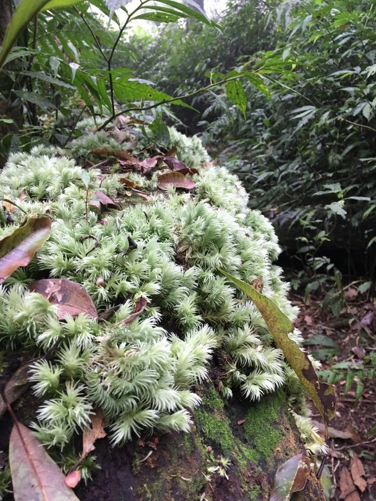
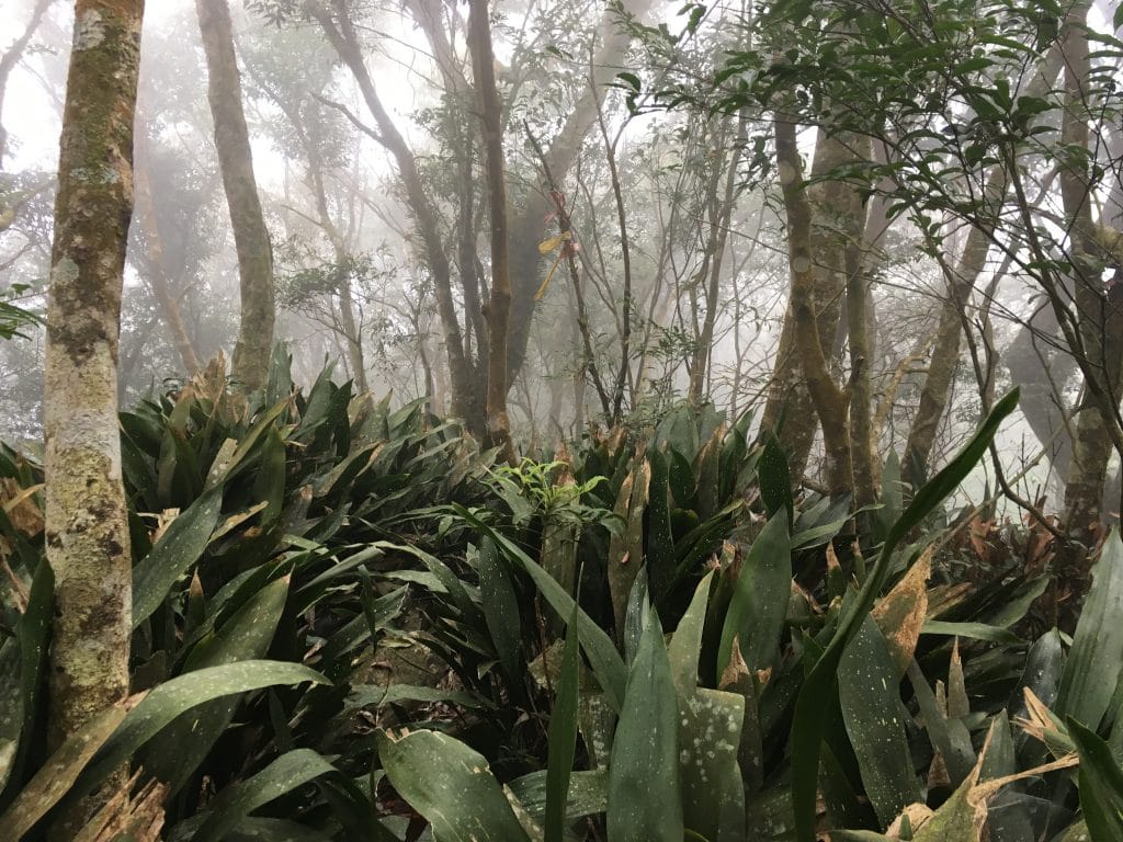
Everything kinda looks the same up there so not so great for pics. But I did snap a couple vids. Fun times!
Date hiked: 2018 April 11
GPX Track Download Instructions: Click the track on the map to see the download link



![[Valid RSS]](https://outrecording.b-cdn.net/wp-content/uploads/2020/03/valid-rss-rogers.png)
Thank you for the information. I also rode and hiked this route a few years ago, but with a failed attempt. Now I’m thiking about going there again.
Good luck with it! I hiked from 棚集山 to 久保山 a few months ago and found that the trail I took on this hike is in a different location now. Maybe it’s easier to find and hike. If you see my comment and are interested, I also found a back trail to 棚集山 that you could hike up and then go to 北久集山, 久集山, and then 久保山. It would be longer, but also a nice hike. Here’s the link to that hike: https://outrecording.com/hike-to-pengjishan-north-jiujishan-and-jiujishan-%e6%a3%9a%e9%9b%86%e5%b1%b1-%e5%8c%97%e4%b9%85%e9%9b%86%e5%b1%b1-%e4%b9%85%e9%9b%86%e5%b1%b1-via-alternate-back-trail/