At the top of a massive landslide you’ll find DaWuCang 大武藏山. It’s not a particularly popular peak by any means; there isn’t even a marker for it. Most people just pass it on their way to other prominent peaks. But last week I made it my main objective.
DaWuCang 大武藏山 is listed at 1630 meters elevation. It lies roughly between KaShan 卡山 and JiuBaoShan 久保山. Strangely, it isn’t listed on several maps that I have. I’ve even seen it referenced without the “山” which makes me wonder if it’s even considered a peak. Regardless of its designation, its overall distance made it perfect for a day hike.
The trail head is located up the mountain across from Laoqijia 老七家 and the Lili River 力力溪河. If you’ve ever seen this statue, then you’ll know roughly where the trail head is located.
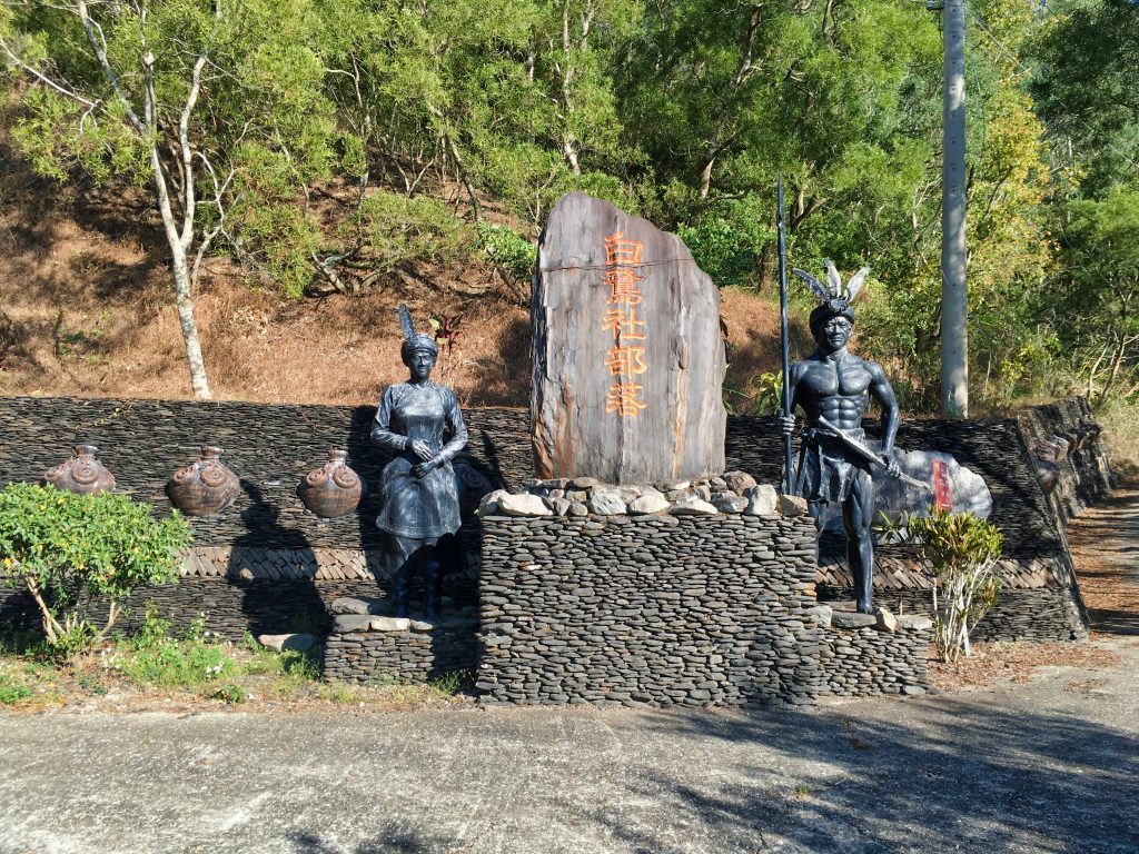
There are nice views most of the way up as you drive.
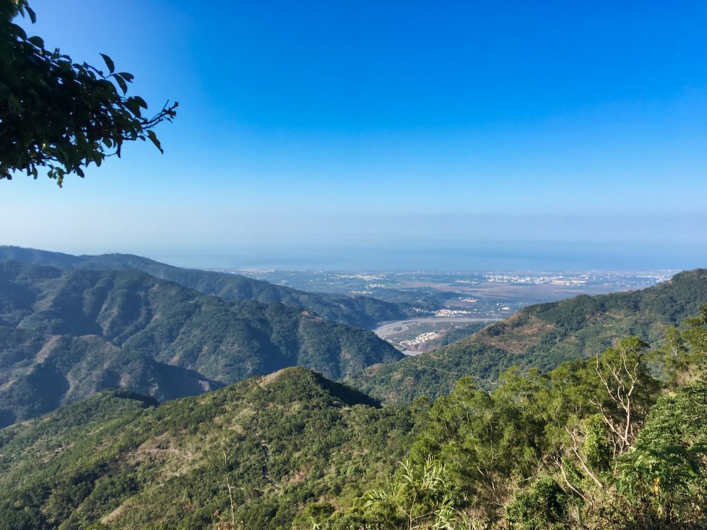
I made it to the trail head at about 8:30am and drove my bike up the sketchy trail as far as I could go. I’ve been up here a few times and have hiked about the first 20% of this hike when I went to NanJiubaoShan 南久保山.
It all starts off relatively easy with a decent trail to follow. (sorry for the crap pic)
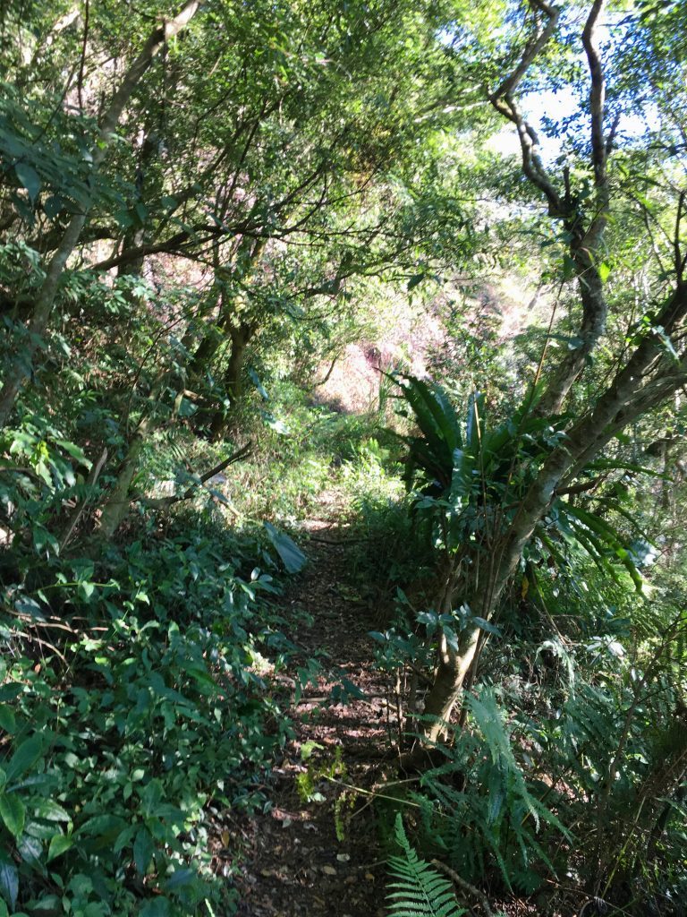
Along the way you get a nice view of NanJiuBaoShan
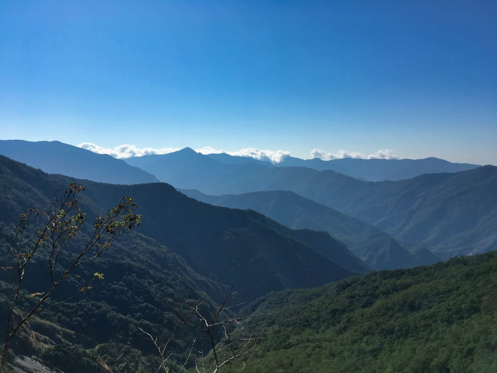
A short hike later and you’ll come to a small rock slide.
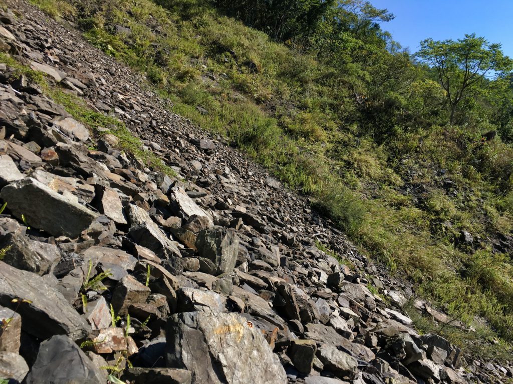
There are several arrows spray painted to guide your crossing.
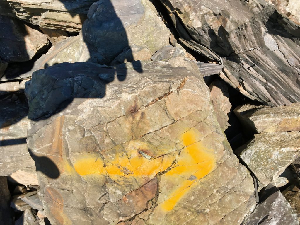
From where I parked it took me just under an hour to reach what I call “the crossroads”.
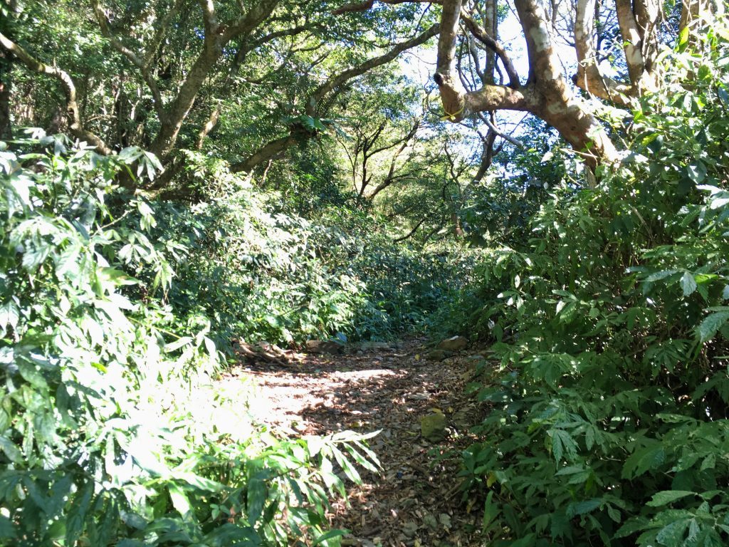
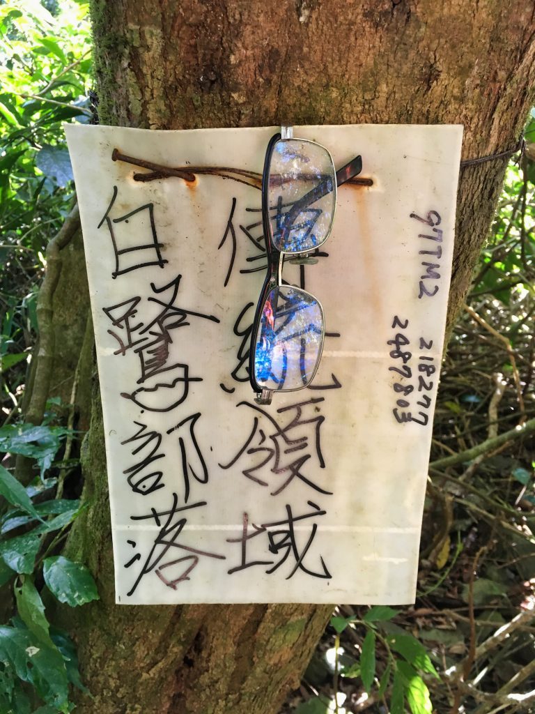
This is an intersection between DaWuCang, JiuBaoShan, and NanJiuBaoShan. It’s a nice place to stop and take a break. There are also plenty of signs to guide you and a “lost and found box”. 🙂 (note the glasses)
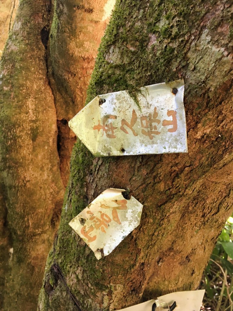
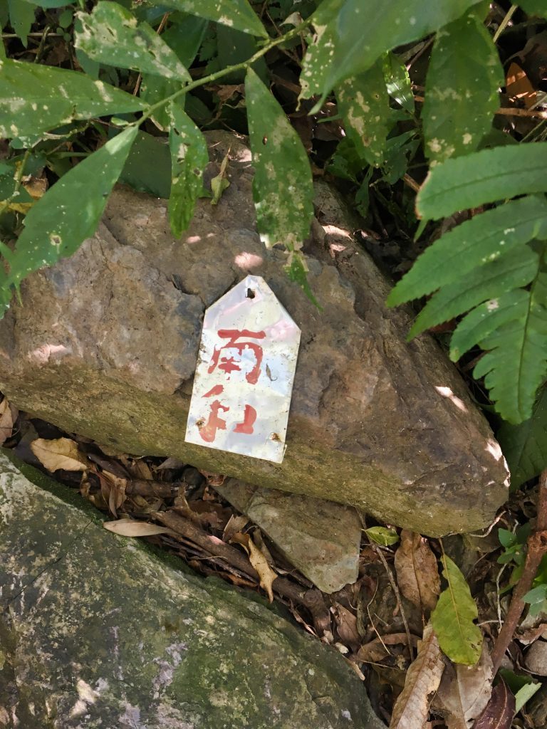
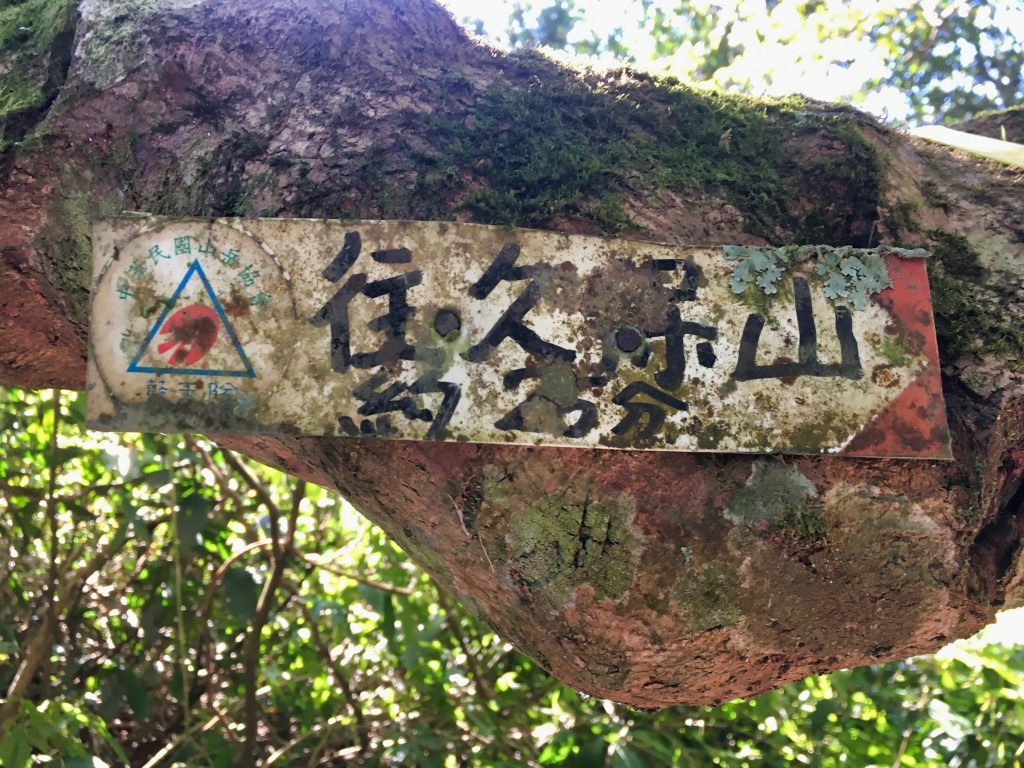
After a brief rest I took the trail to DaWuCang.
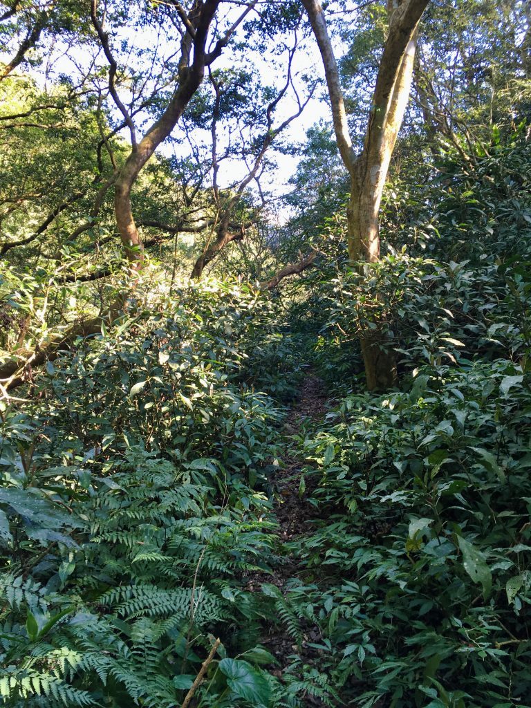
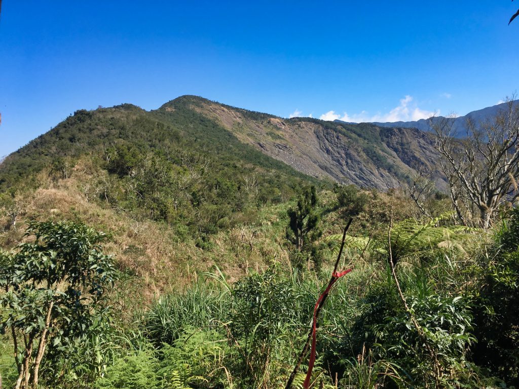
It was a rather uneventful hike for the first hour. The trail was clear and easy to follow and nothing particularly interesting to see. At some point, I got my first glimpse of DaWuCang.
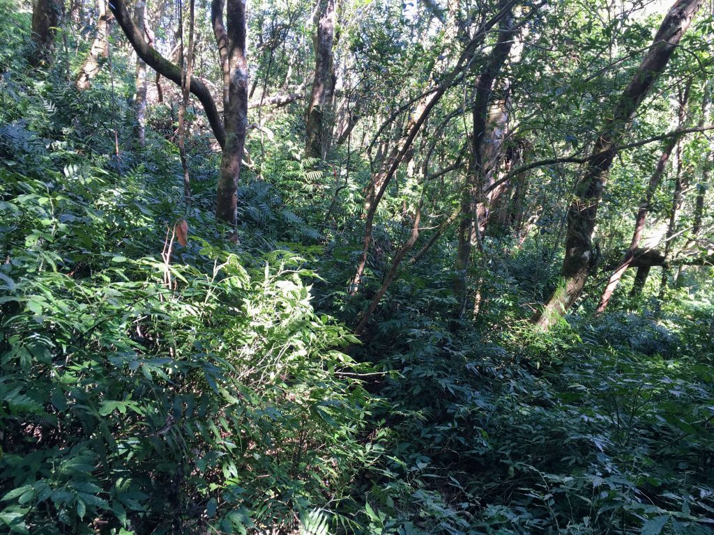
As the trail went on it got a little denser with vegetation, but it was still easy enough to follow.
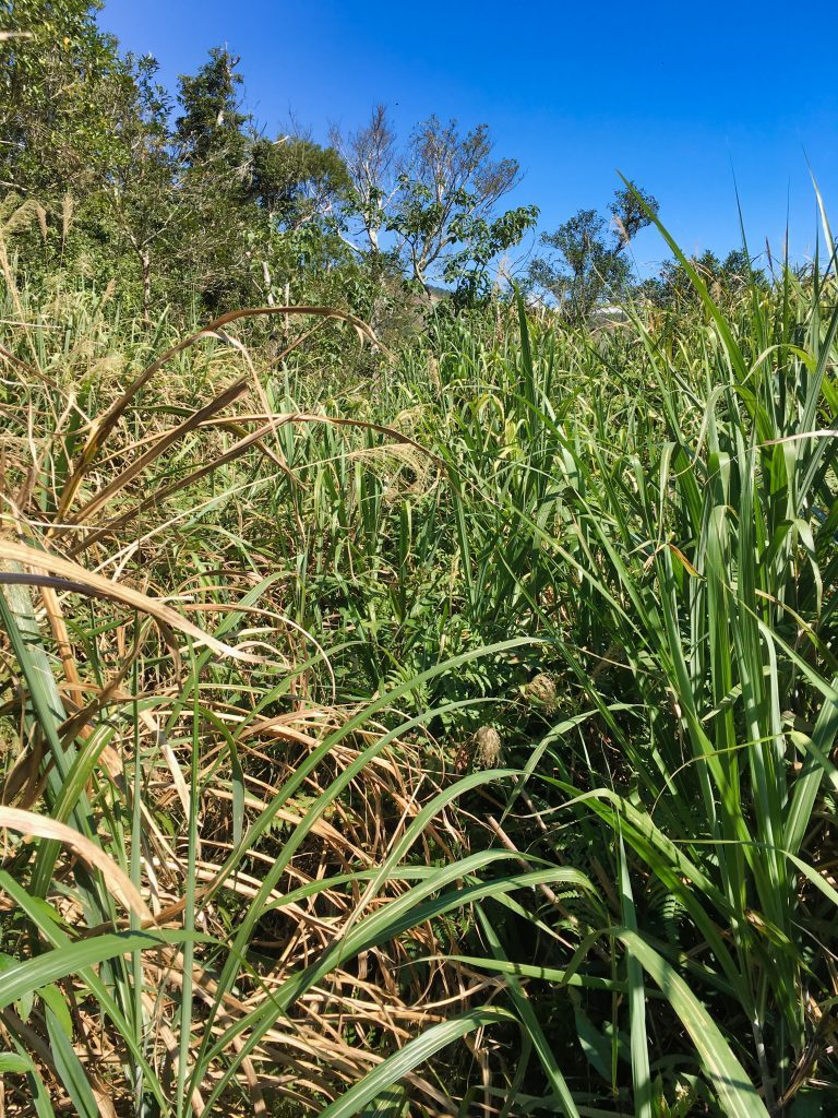
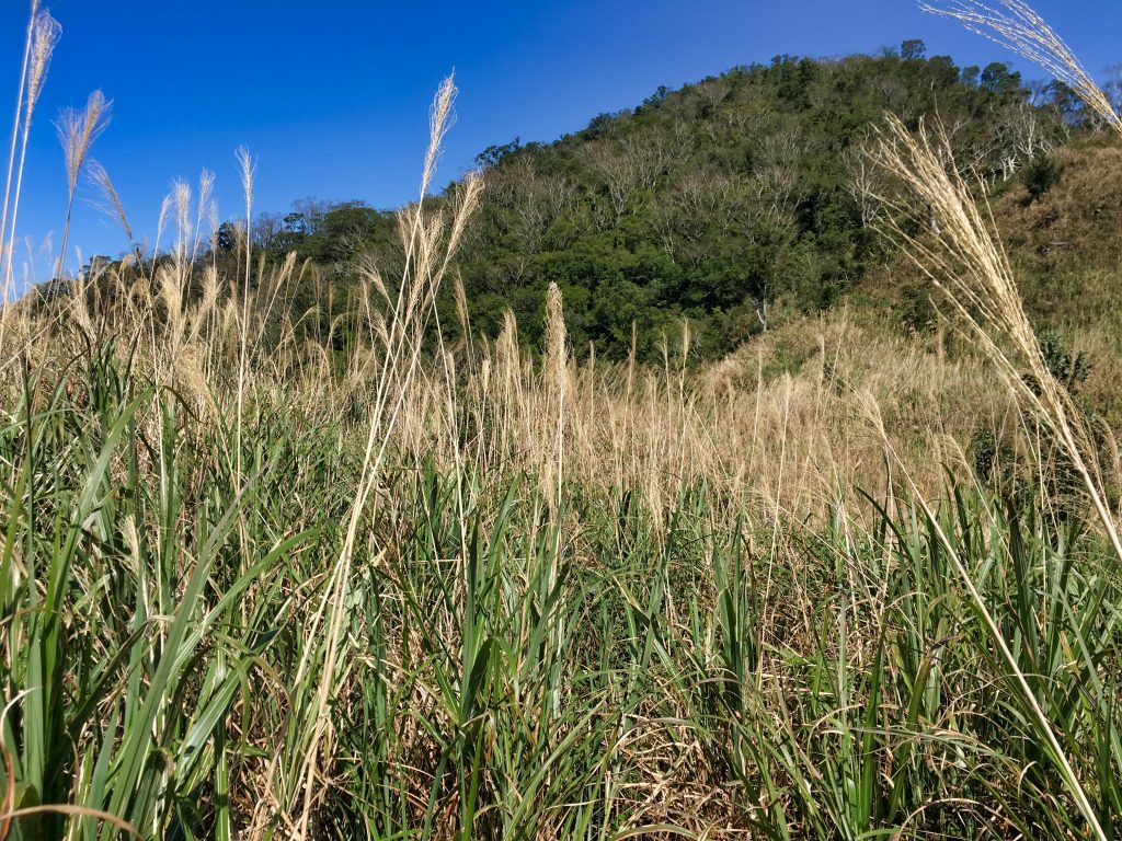
Not long after this it gets a little hairy. I came to an open area with a lot of tall grass. The GPX track I had showed the trail mostly following the ridgeline. But when I got to the ridge it was completely overgrown. So I followed another trail to this open area. The grass was mixed in with a lot of rocks, and it looked like several trails went in several directions. This section slowed me down some. On a good note, it offered great views!
A couple weeks prior I was in the riverbed in the above picture looking up to DaWuCang. Now here I am looking down. 🙂
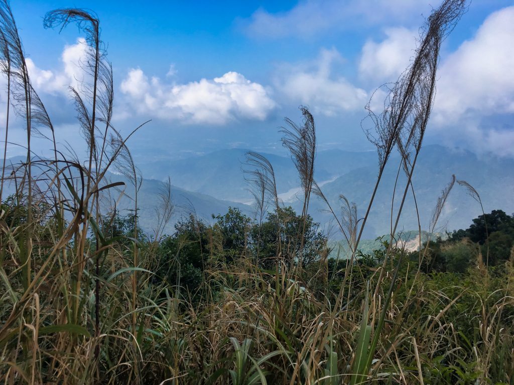
This is the tall grass I mentioned. It looks pretty from afar, but loses a lot of its charm when you’re neck deep in it!
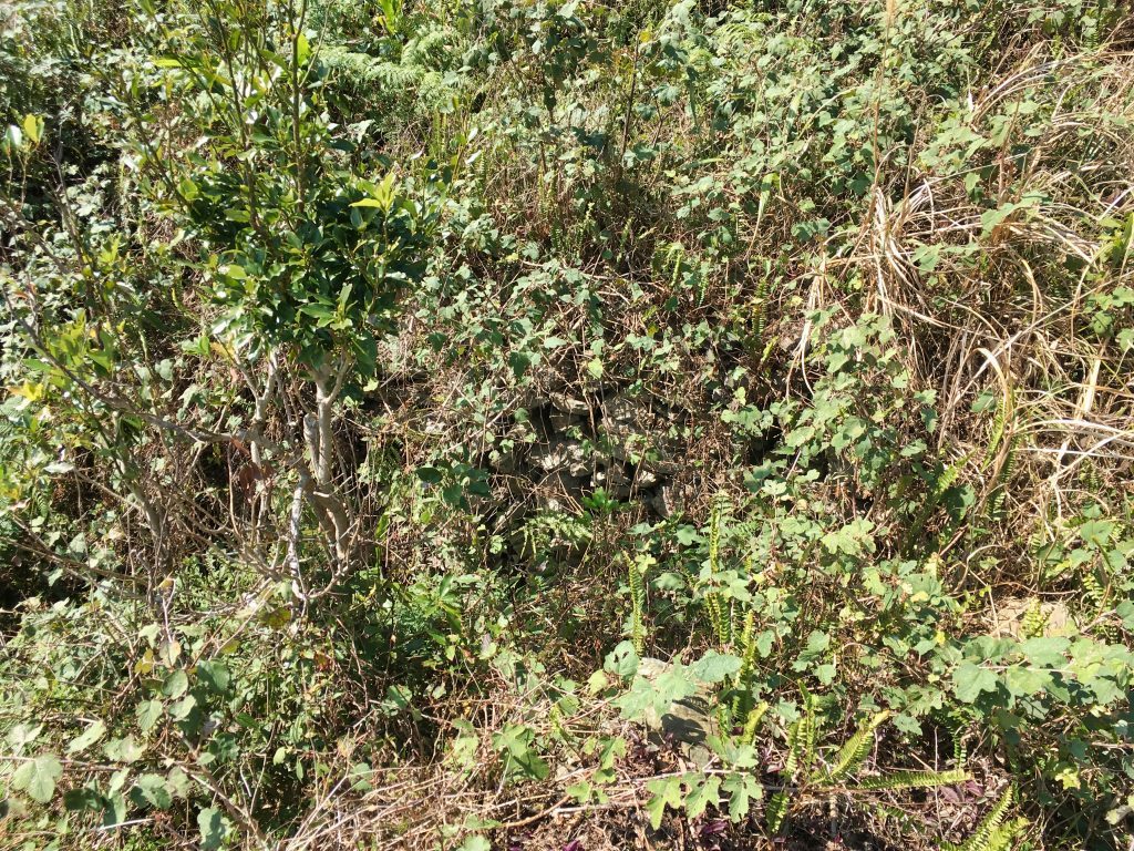
When I was getting towards the end of the grass section I noticed this:
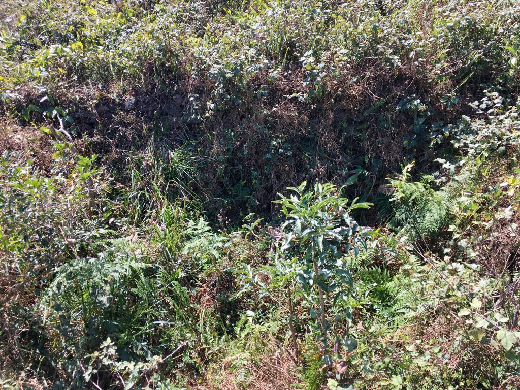
A bunch of rocks had been stacked up. I wouldn’t have noticed them if it wasn’t for the overall shape of the entire stack. A nice squarish shape, roughly the size of old aboriginal houses I have seen dozens of times before.
There is an “ancient” abandoned aboriginal village several hours up this trail. Perhaps this structure had some connection with it. Maybe a “rest stop” along the way…or something else entirely. I’m not sure if some of the aboriginals lived alone, isolated from the village; because this was the only structure I could find in the area. Whatever its reason, I found it interesting.
I took another short break here and continued on to the peak.
After the slow grassy area it became more wooded and somewhat easier to hike.
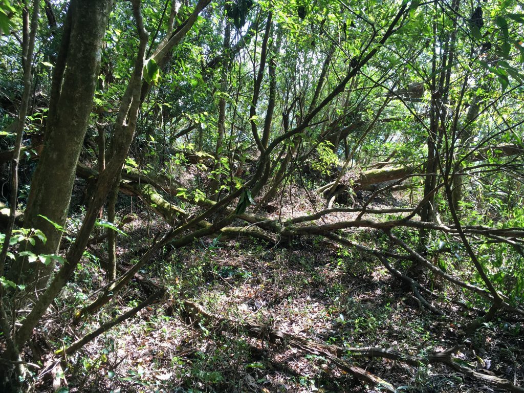
One thing you may or may not notice in the above picture is that this is an old road. Take a look at the next one.
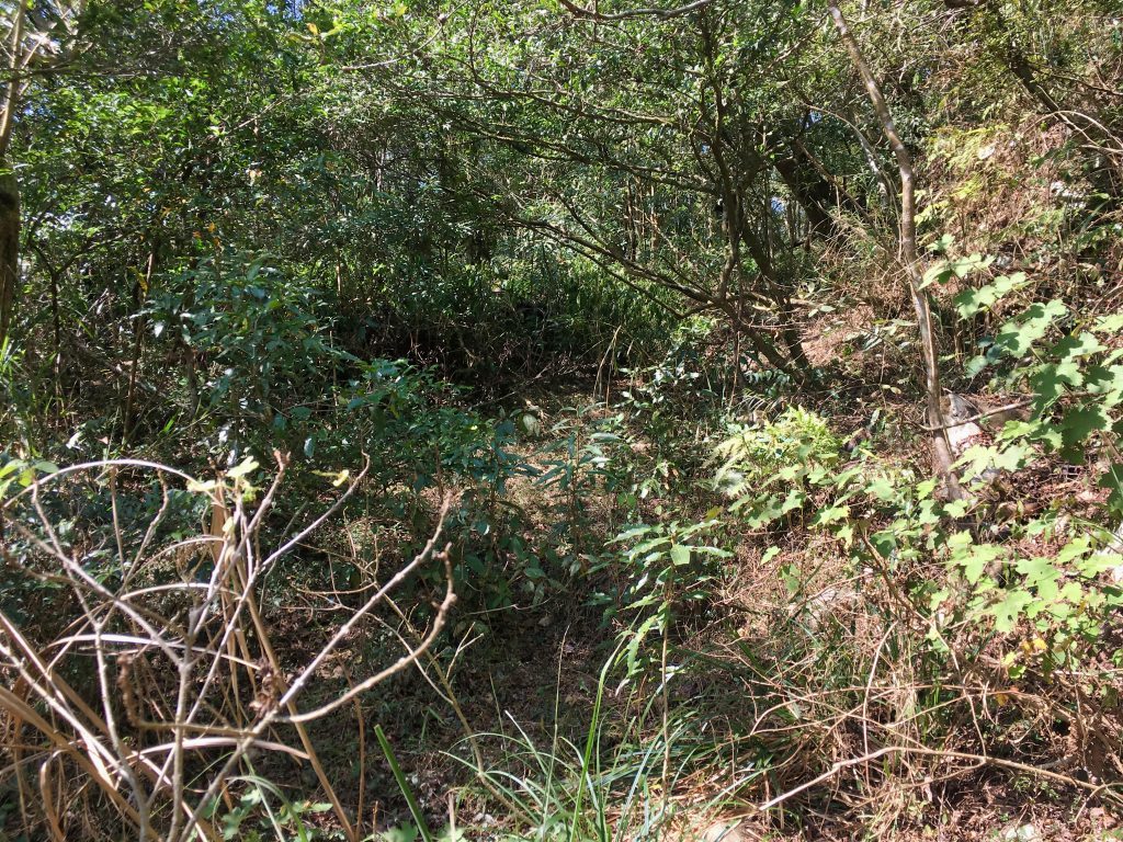
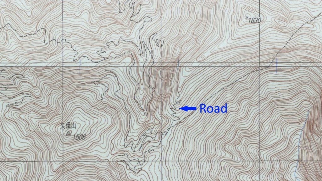
There were several switchbacks that the trail cut through. Part of the trail later followed the road here and there. To be honest, I was shocked to have found a road this far in. Some of the trees I saw in the middle of the road had some age. This road was abandoned long ago. I briefly considered if this was part of the Kunlun’ao Ancient Road 崑崙坳古道. But I didn’t think it extended this far over. Considering the terrain features around this old road, I was confused as to where it originated.
After some research, I found a few old maps on the Academia Sinica website that showed a road system that originated in Neishe 內社 over in Laiyi 來義.
That’s exactly where I found it. Mystery solved!
It still amazes me that they were able to make a road through all that. Having thought back to my hike that day, I realize I was walking on another part of that road about an hour earlier, just after “the crossroads”. If that sucker still existed, this hike would have been A LOT easier. 🙂
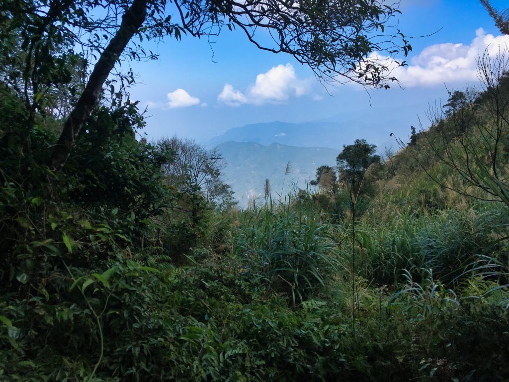
When I got higher up on the ridge I got my first look at the other side of the mountain.
You can see Taiwu 泰武 village off in the distance.
It wasn’t long before I was back in the tall grass and had some steeper climbs to negotiate.
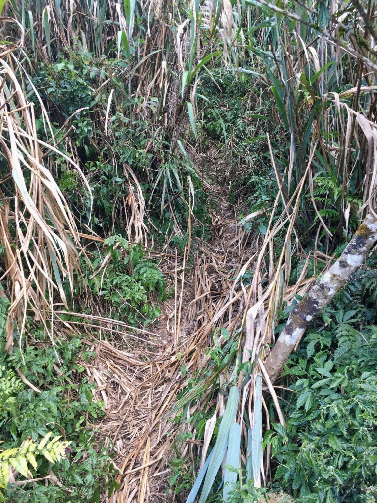
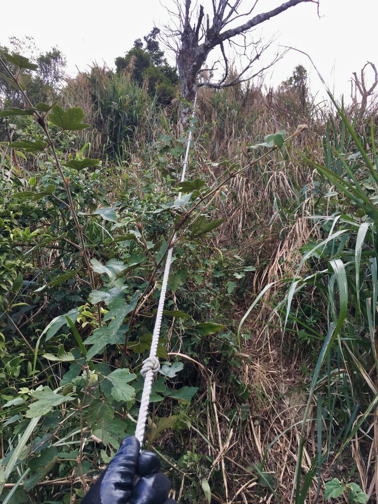
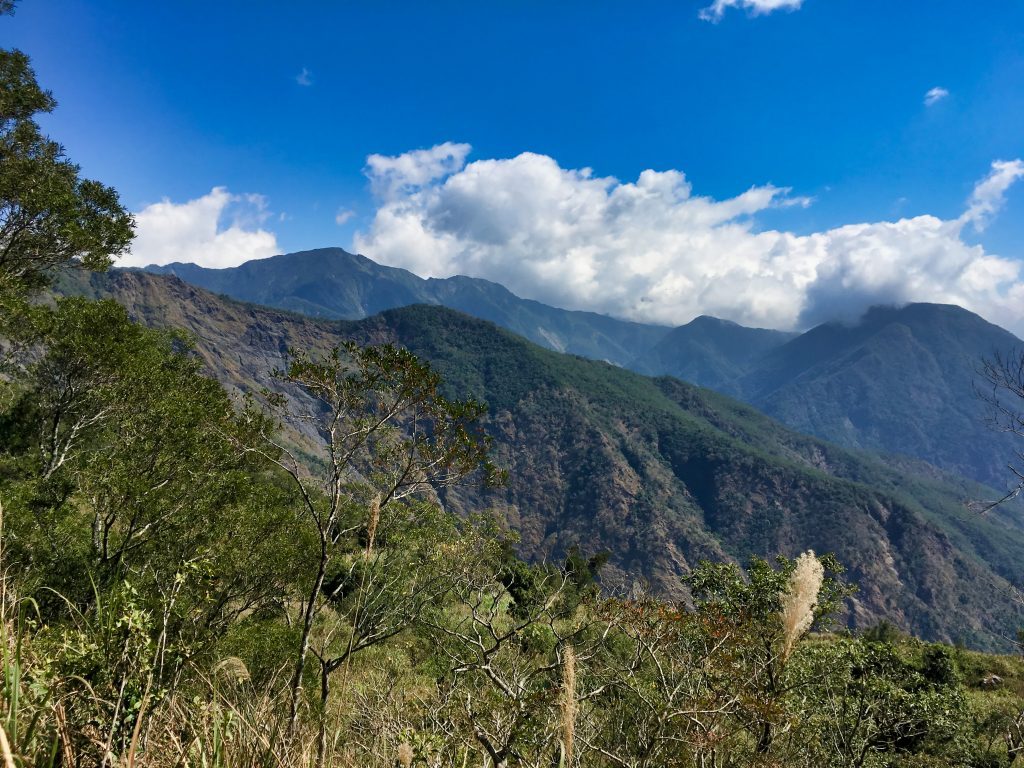
The nice thing about steeper climbs is that they often offer a nice view once you get up there.
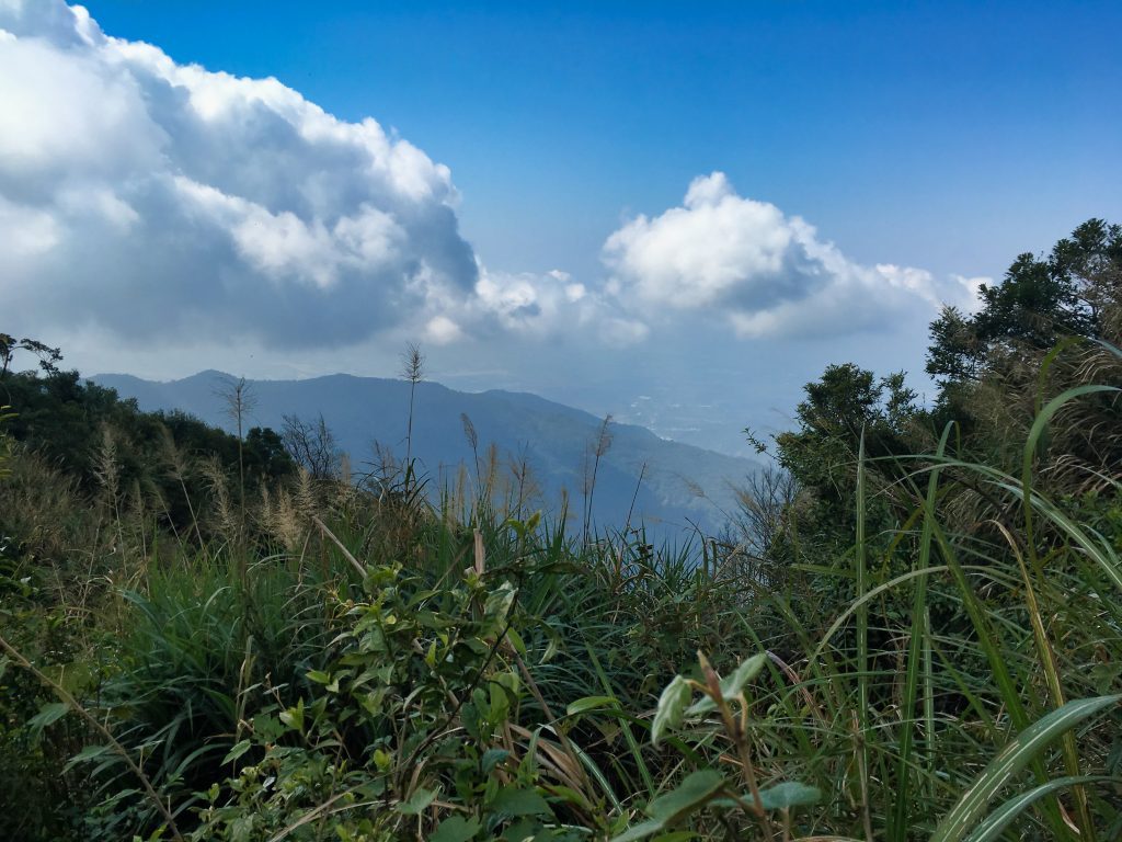
Unfortunately, the weather was starting to turn ugly to the east.
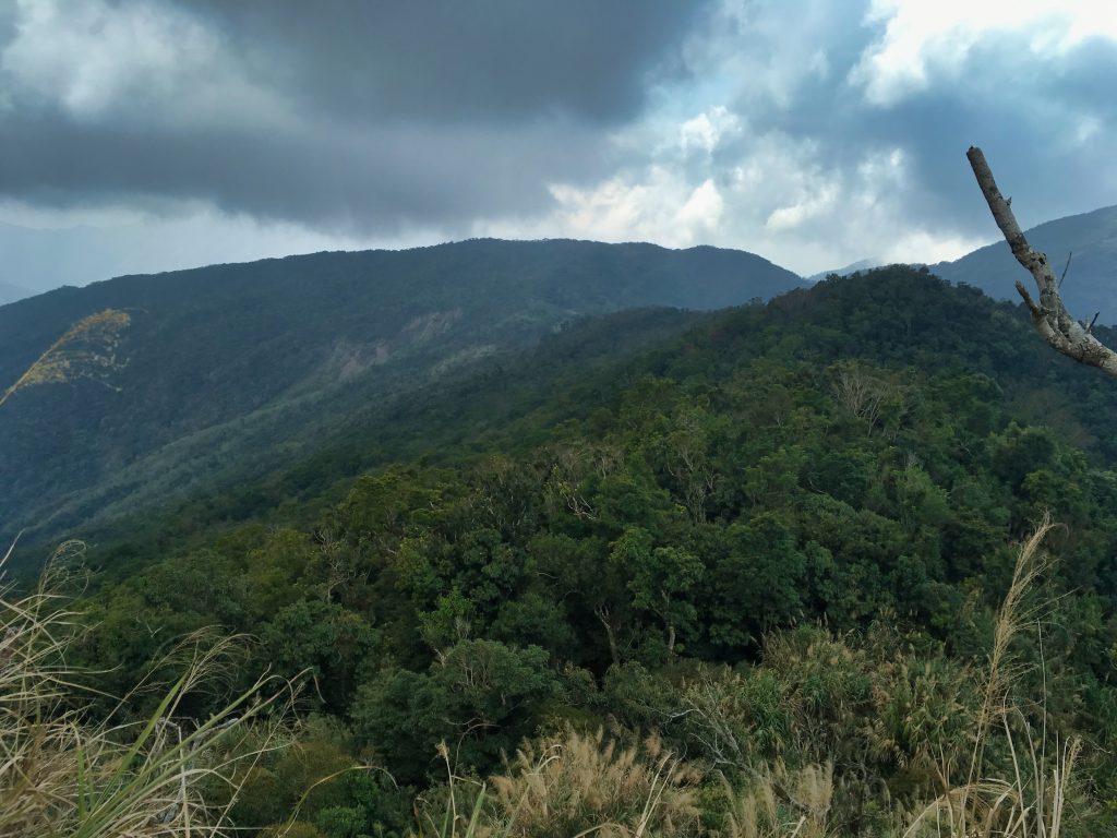
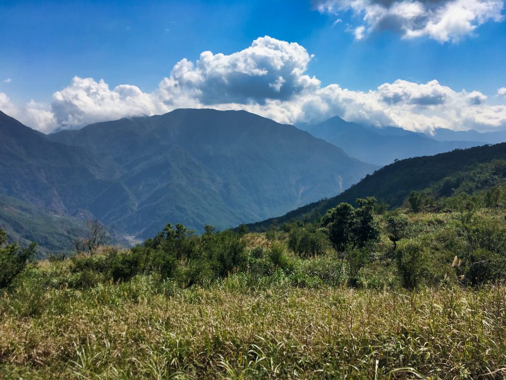
The above picture is looking back from where I came.
Now this next view is again what I love. That’s XinZhiShan 新置山 in middle, just to the left. I was there the week before. It’s funny how something can give you so many problems and tire you out…and look almost insignificant from a distance like this.
After a bit more hiking…
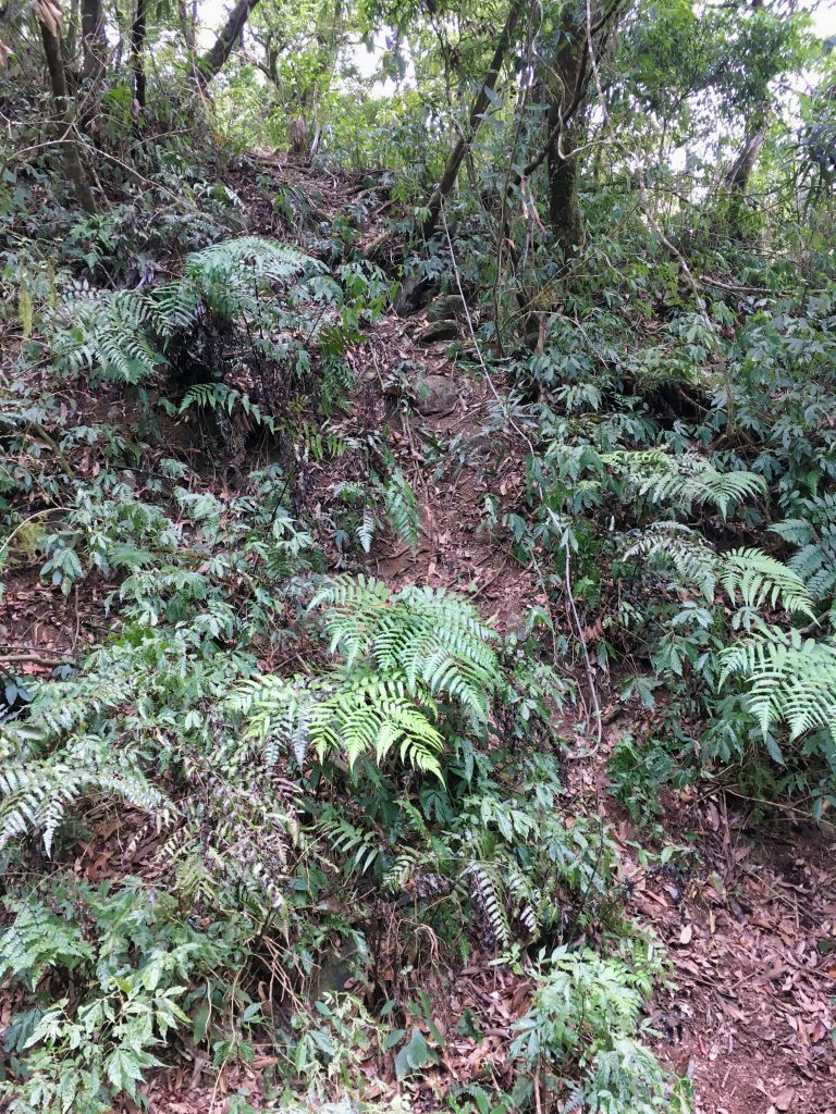
…I made it to the peak!
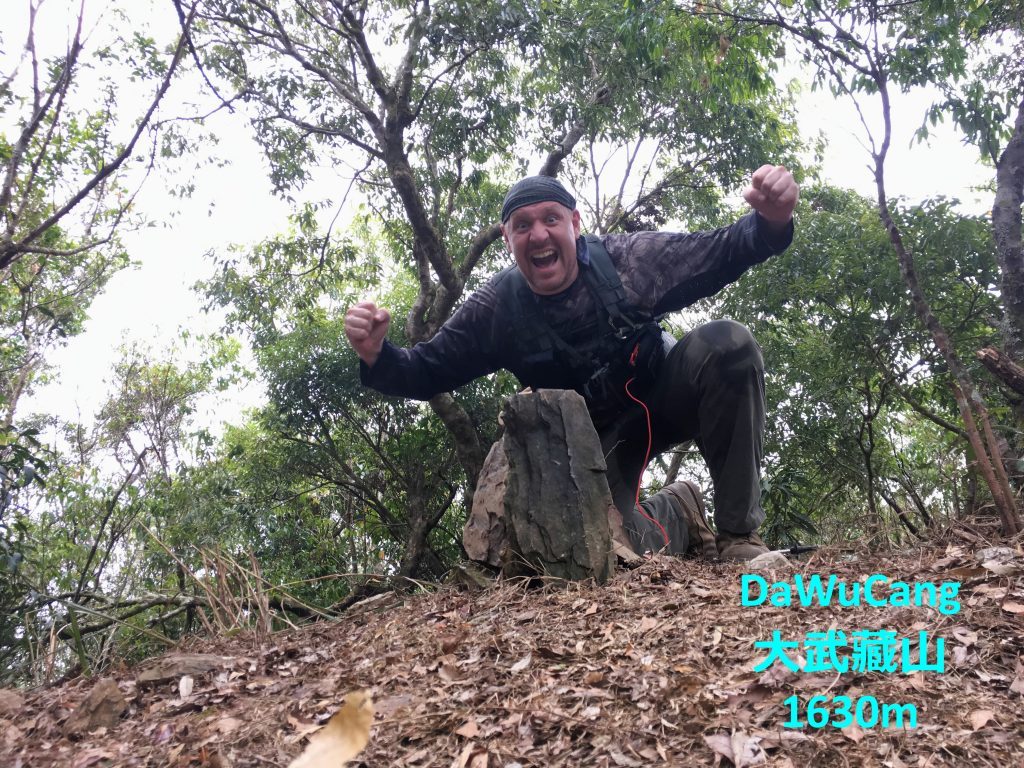
And took my victory picture.
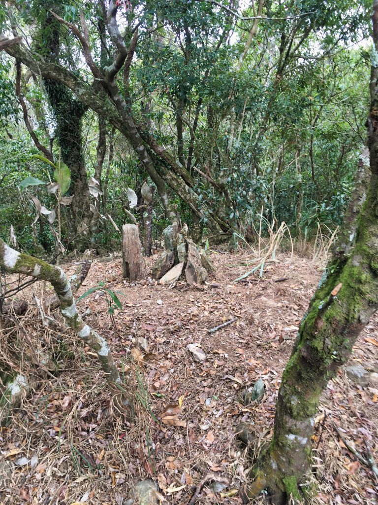
There wasn’t a view and not a lot to see here. As expected, there wasn’t a marker. Someone stacked some rocks around a tree stump as a makeshift marker.
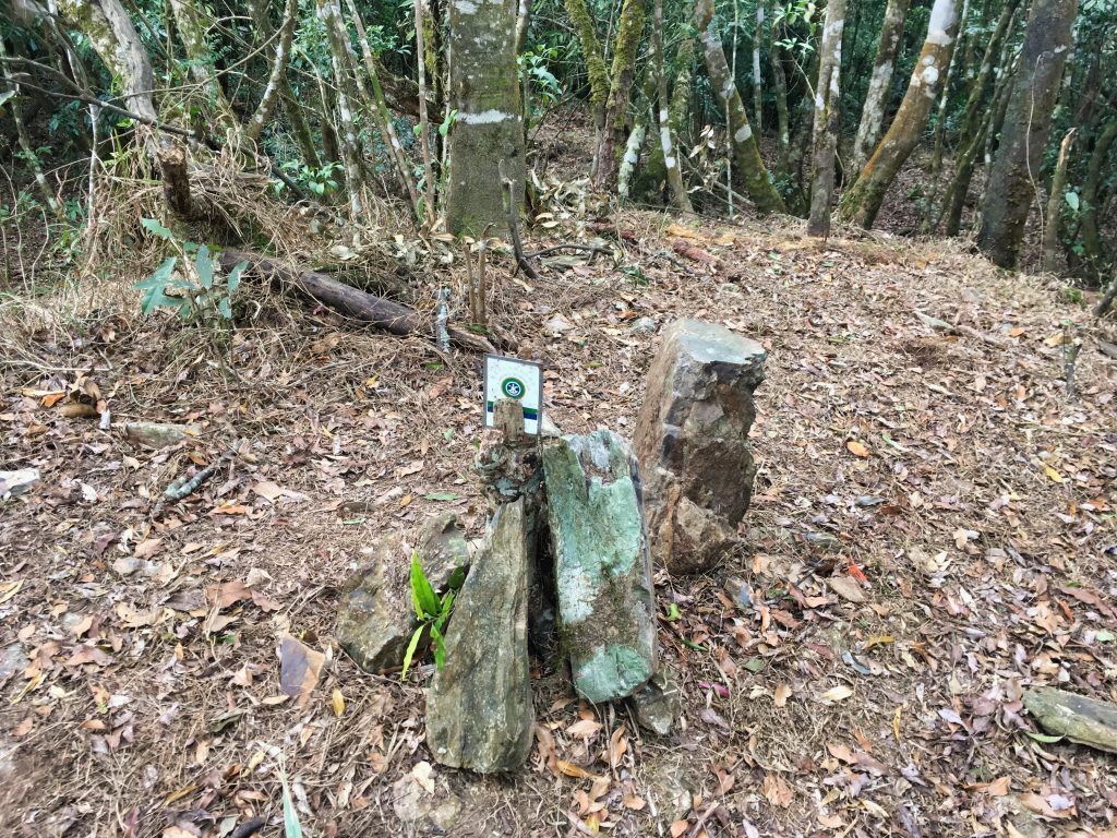
This little metal placard was stuck in the tree stump.
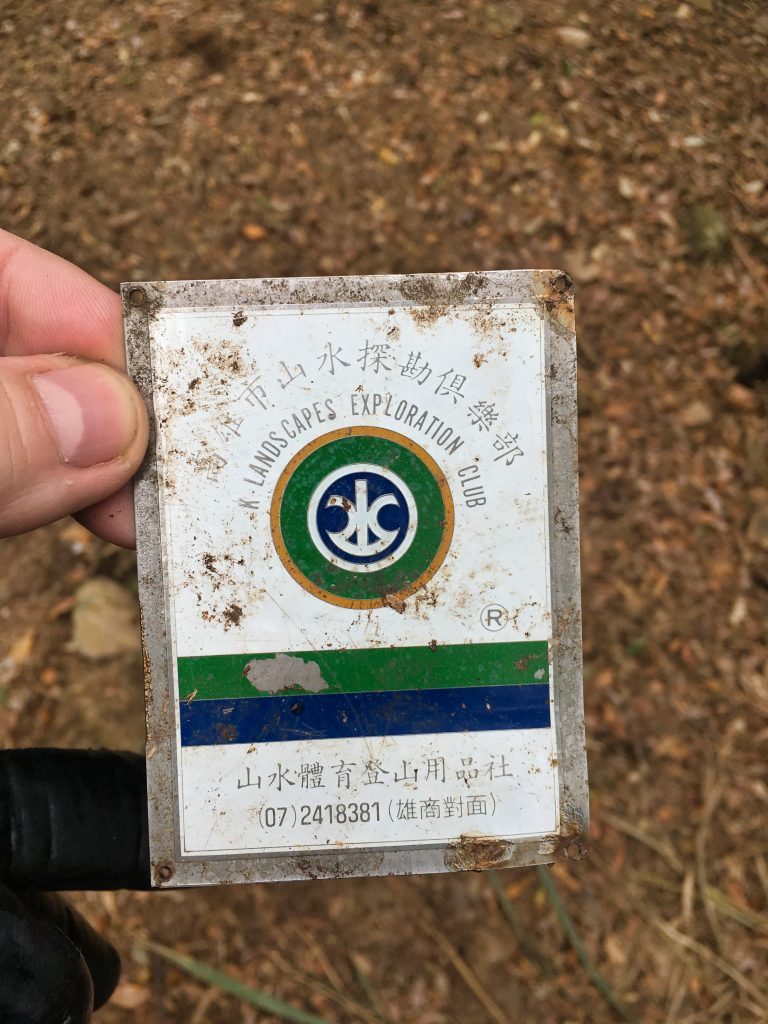
And yes, they’re still in business.
The only other thing of note was this sign and some ribbons.
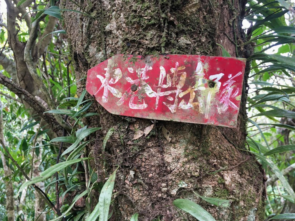
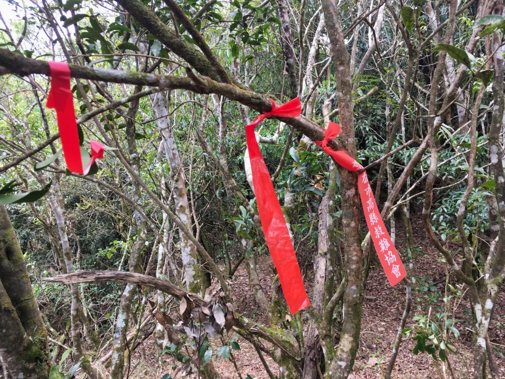
As expected, I didn’t feel I had enough time to make it to KaShan 卡山 and back. So after a nice rest to replenish my energy, I made my way back.
It wasn’t long before more and more clouds rolled in and I was engulfed in fog.
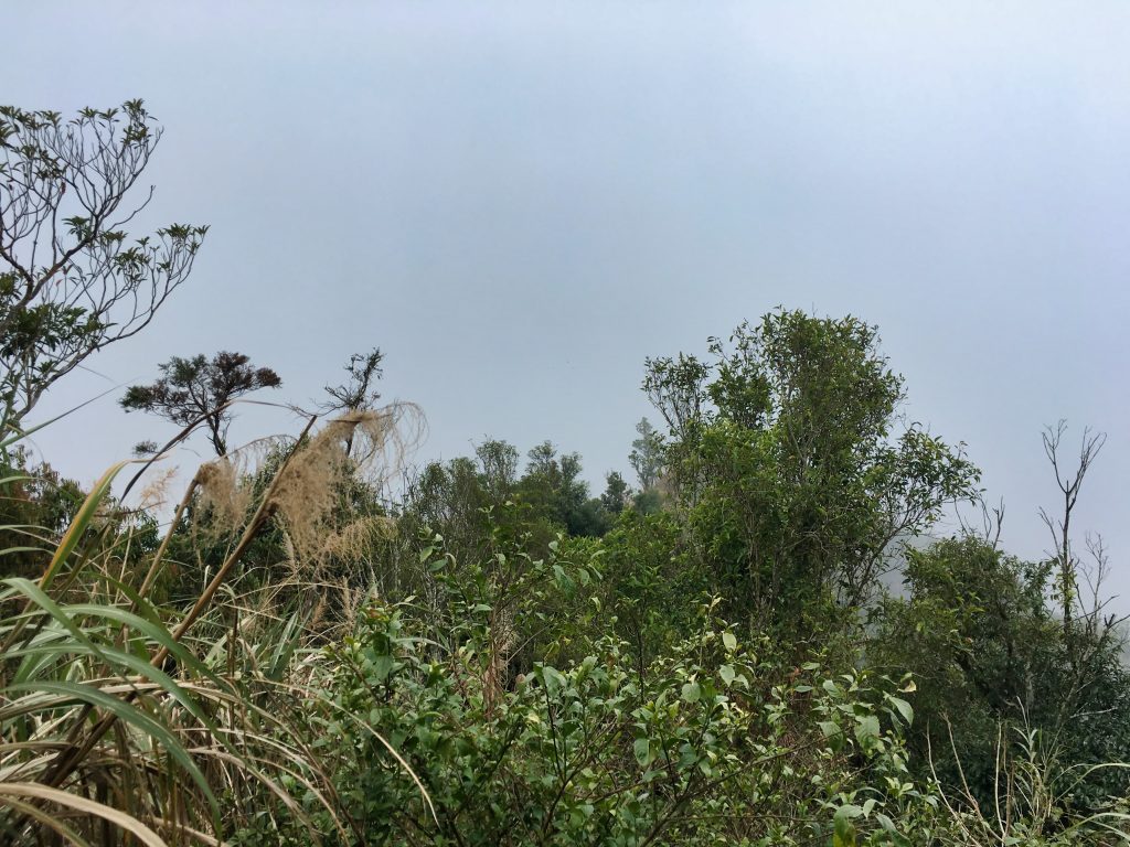
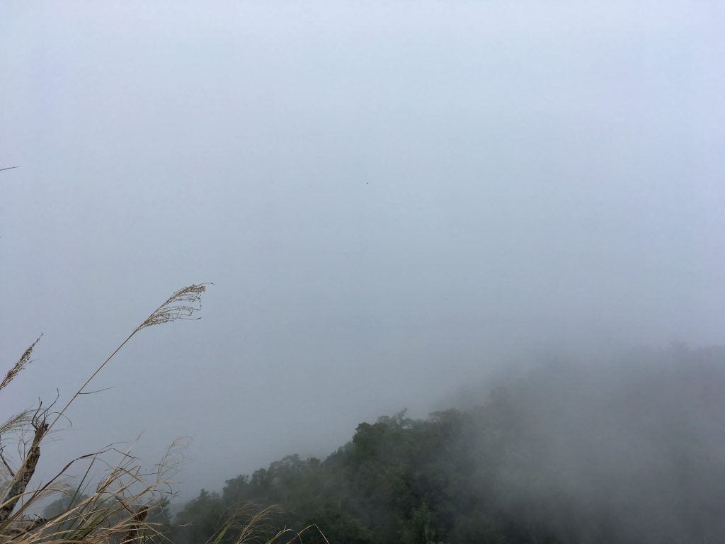
Thankfully it was only hanging around 1600 meters or so. As I descended, the fog didn’t follow.
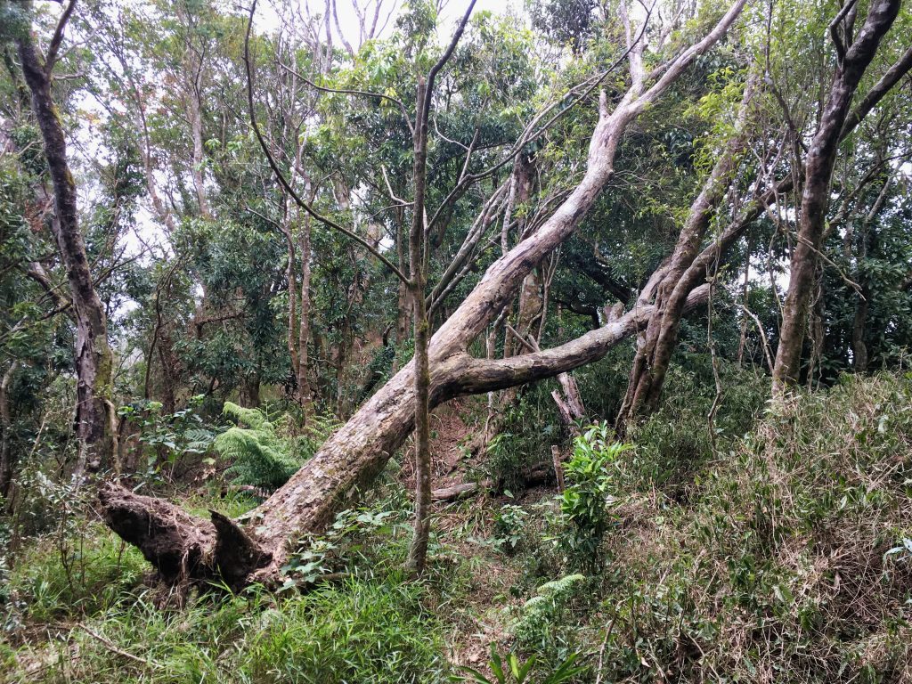
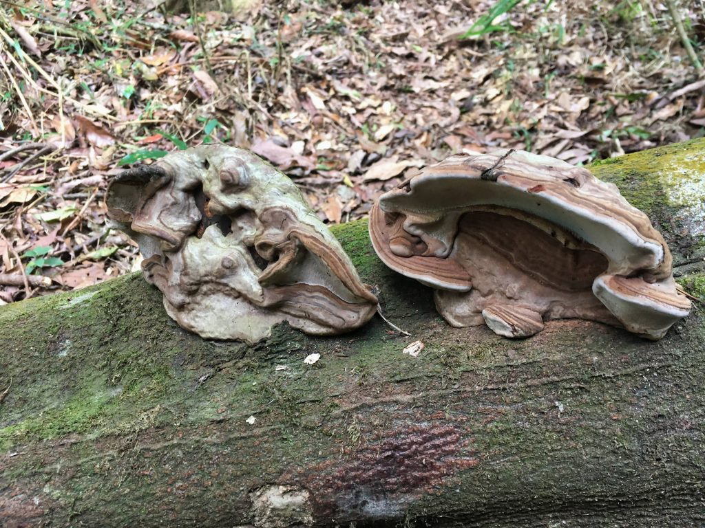
Am I the only one that likes to take pictures of mushrooms?
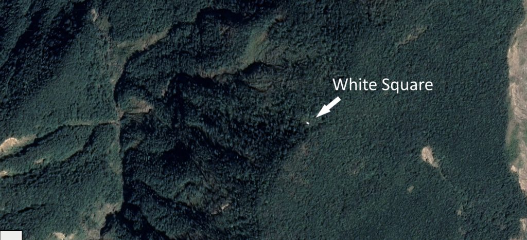
There was one point of interest I wanted to get a look at. From google maps satellite view you can see a white square out in the middle of the trees.
Yeah, ok…I’m probably the only person who would notice something like that. 😆 I later stumbled across a blog post that mentioned this was an old helipad. Now THAT really piqued my interest. I had to see it.
A short detour and a little machete work and voila!
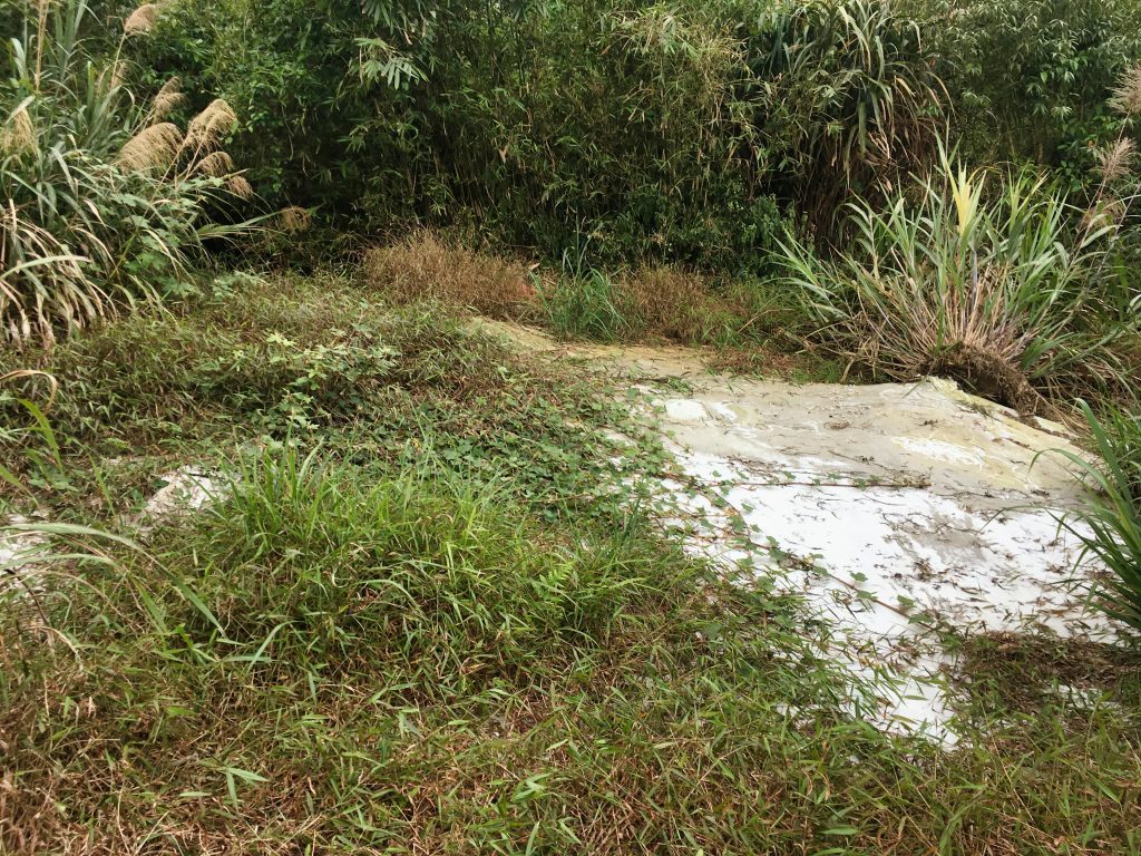
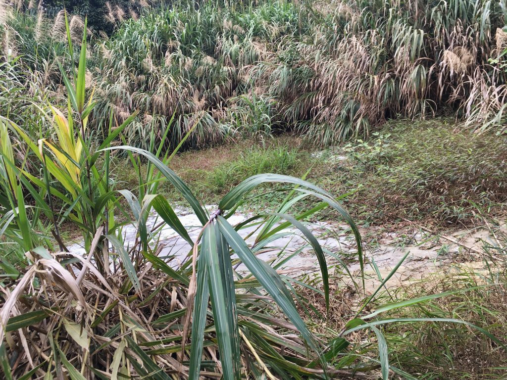
I was expecting concrete, but instead it was some type of tarp-like material spread over a cleared area. It was very brittle. I think it won’t be long before it’s completely gone. In the blog post I read, the pictures they took looked a lot better. There was a lot of red color. That was a few years back. I did notice some red-ish colored tarp off to the side. Perhaps that was the top layer and this was the bottom?
Regardless of what happened, it was fun to be here. Oh, and the old road gets pretty close to this spot. I’d have to guess they were connected (figuratively) in some way. Though I’m sure they were literally connected too.
This would have been where I wrapped up this post, but as things go with me, I was about to stumble upon something else.
In the GPX track I had found, there was a marker labeled “發現駁坎遺址”, which says something about some historical remains were found there. I’m guessing it’s an old house. But whatever it was, I wanted to see it.
One problem I had was that when I reached the peak I saved my GPX track. The APP automatically clears all of the tracks that are viewed on the map. I have hundreds of tracks in my APP and this one was labeled something odd. I didn’t feel like spending the time searching for it; but I remembered seeing a marker ribbon on my way up heading off in the direction of the historical remains. It seemed easy enough to just follow the ribbons until I got there.
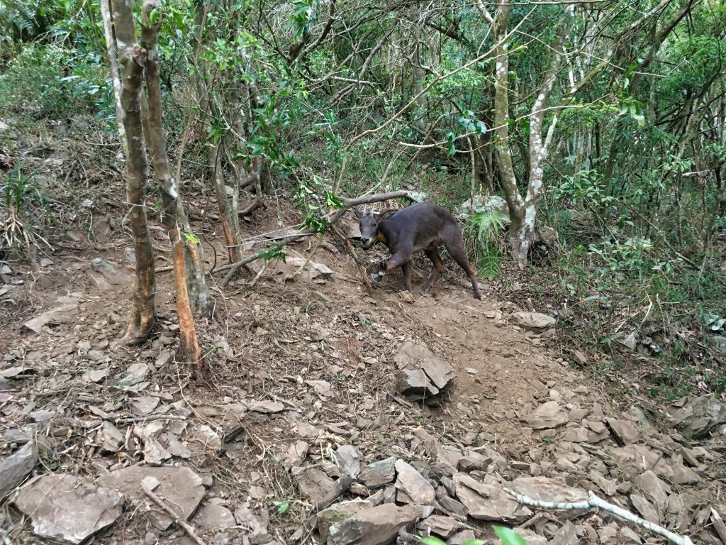
Well…maybe not. Somehow I got off course and ended up some 300 meters from the remains. Yeah, I had to dig through all those tracks to find the right one. Well, I found it and made my way towards the ruins. After about 40 meters or so, I looked up from my phone and about jumped! There sat in front of me was a Formosan Serow just staring at me! If you’re not familiar with them, they’re on the protected species list for Taiwan. I’ve seen some in past hikes, but only a glimpse. They moment you come anywhere near them, they usually dart off as fast as could be. But this one was just looking at me all calm.
The whole situation just seemed wrong. Why wasn’t it running? The reason, I found as I crept closer was that it was trapped!
It stood up as I got closer. Then I realized it was stuck in a metal leg-hold trap. These types of traps are apparently illegal in Taiwan, but I guess it doesn’t stop hunters from using them. So we have an illegal trap that clamped a protected species.
I thought about what I could do and the end answer was: nothing. 🙁
If another person was with me, maybe we could free it. But alone, I think it would be extremely difficult; especially since I have no clue how to open one of those traps. Someone later mentioned I could have gotten hurt if I tried helping. Yeah, that seems plausible.
My time was getting short; I had a couple more hours to hike and it would be dark in a couple hours. So I took note of this location’s coordinates and made my way back to my bike, completely forgetting about the old ruins.
From here until I got back to the trail I took it really slow. I walked through the terrain like a soldier would negotiate a minefield. I had no idea if there were more traps. If there were, I didn’t find them.
I got back to the trail and contacted my wife. At this point I wasn’t sure if this was a Serow or not. I sent her the picture and asked her to contact whatever authorities she thought would know. It was the end of the Lunar New Year, so she didn’t find much. Later when I got home she contacted several places: nearest police station, some Pingtung county hotline, an animal protection agency, etc. The police didn’t seem very concerned and never called back. Someone from the animal protection agency called back and asked for details, but that was it. We never heard anything back from anyone.
For the record, I’m not against hunting. Legal hunting that is. And when it comes to aboriginals hunting on their land, there is nothing I can say about that. They certainly have the right to hunt and trap. And in this case, maybe the hunter was trying to catch a wild boar – this could have been an accident. So no judgement on my part. It’s only because it may have been a protected animal is why I was concerned. End of story.
And yes, that is the end of this post. The rest of the hike went without incident. I highly recommend you try this hike. But unlike me, try and make it to KaShan 卡山.
Date hiked: 2019 February 08
GPX Track Download Instructions: Click the track on the map to see the download link
I’m also including the track of my descent. On my way down I found a much quicker and easier trail through the grassy area. I completely missed it on the way up. It goes more along the other side of the ridge and it’s basically a “hole” cut through a bunch of grass. It’s far more shady but you won’t get any of the views of the grassy area. I would personally do as I unwittingly did and go through the tall grass on the way up and take this way to get back.

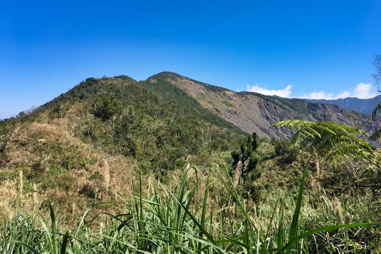


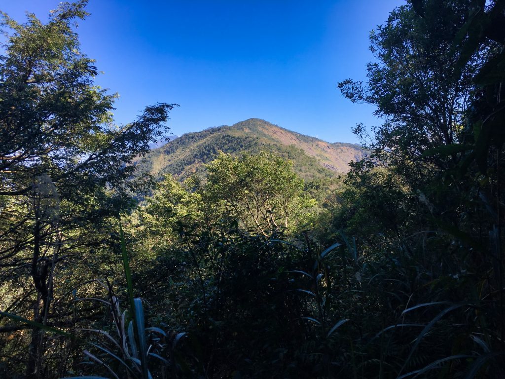


![[Valid RSS]](https://outrecording.b-cdn.net/wp-content/uploads/2020/03/valid-rss-rogers.png)
Leave a Reply