Last week I thought it would be a good idea to hike to the top of TianLiangJingShan 田良井山 despite it being one of the hottest days of the year so far. What I thought would take me around 8.5 hours round trip, actually took me closer to 12 hours.
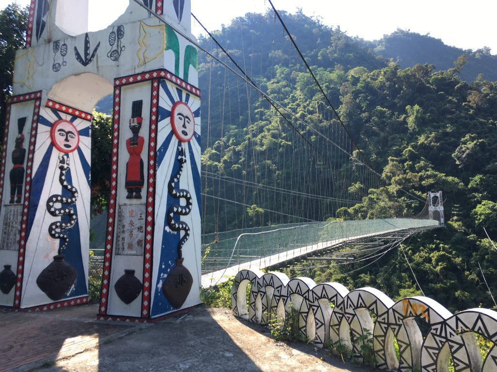
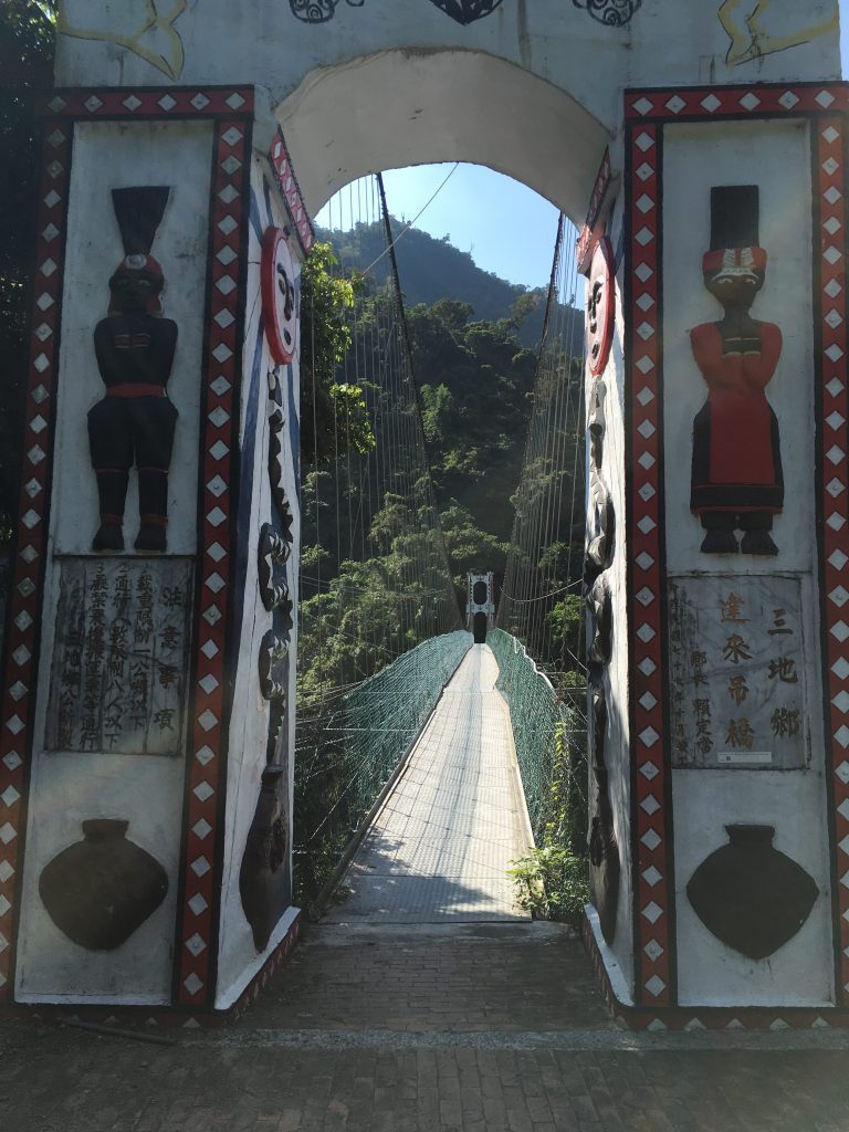
Tian Liang Jing Shan (田良井山) is located in Sandimen (三地門) roughly between the main town and the police checkpoint. If you’re driving a car you’ll have to park by the Tjavatjavang suspension bridge 達來吊橋. 22.726362, 120.672062
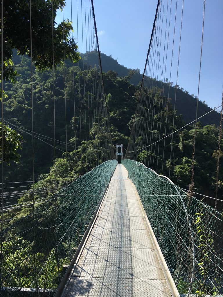
Unfortunately for me, that’s what I had to do because I was still fixing my motorcycle. If you have a motorcycle, then you can cross the bridge no problem. It will save you a good hour or so round trip – or 2+ hours if you can drive it past the village.
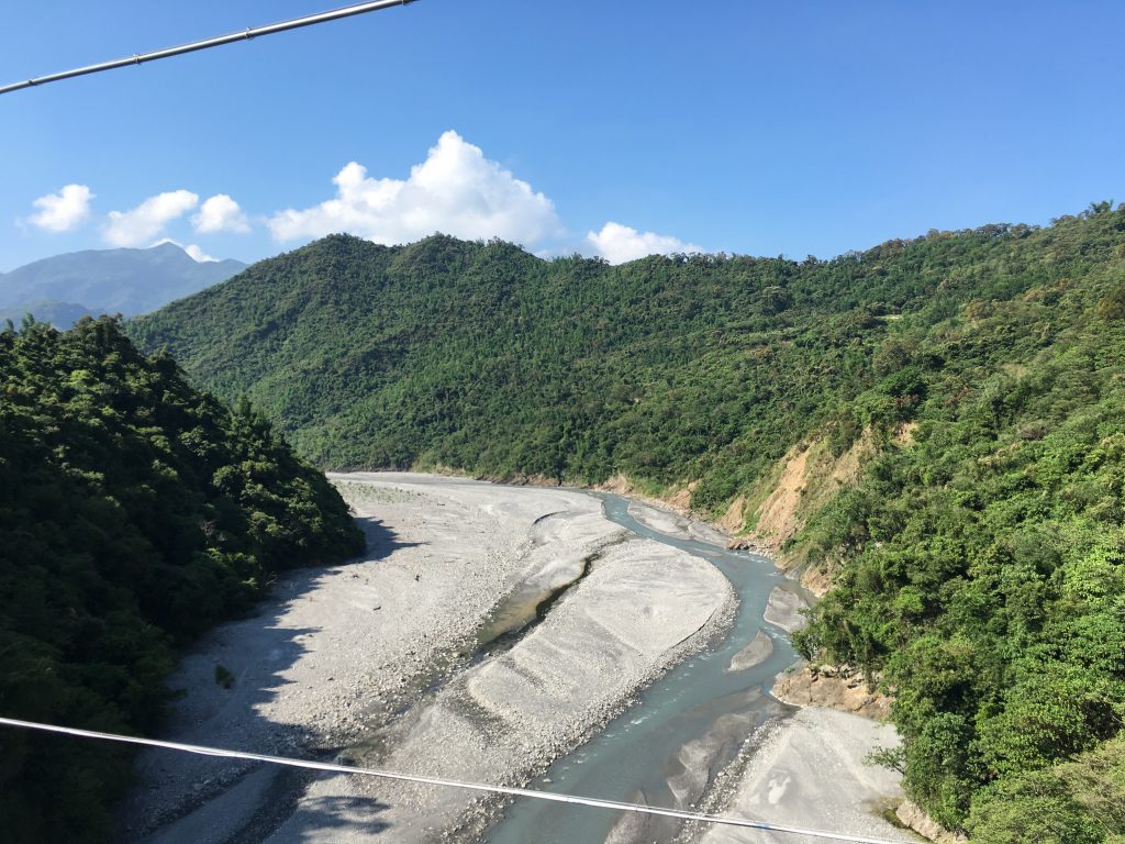
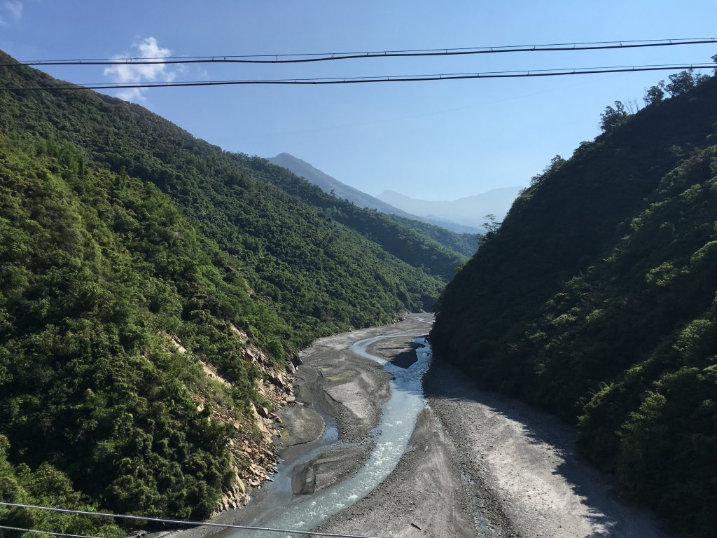
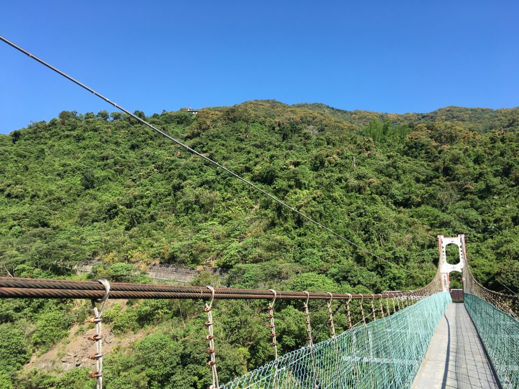
The bridge is sturdy enough for several motorcycles I suspect. Definitely stop and take in the view from the bridge.
You can see the village from the bridge – top left of the picture.
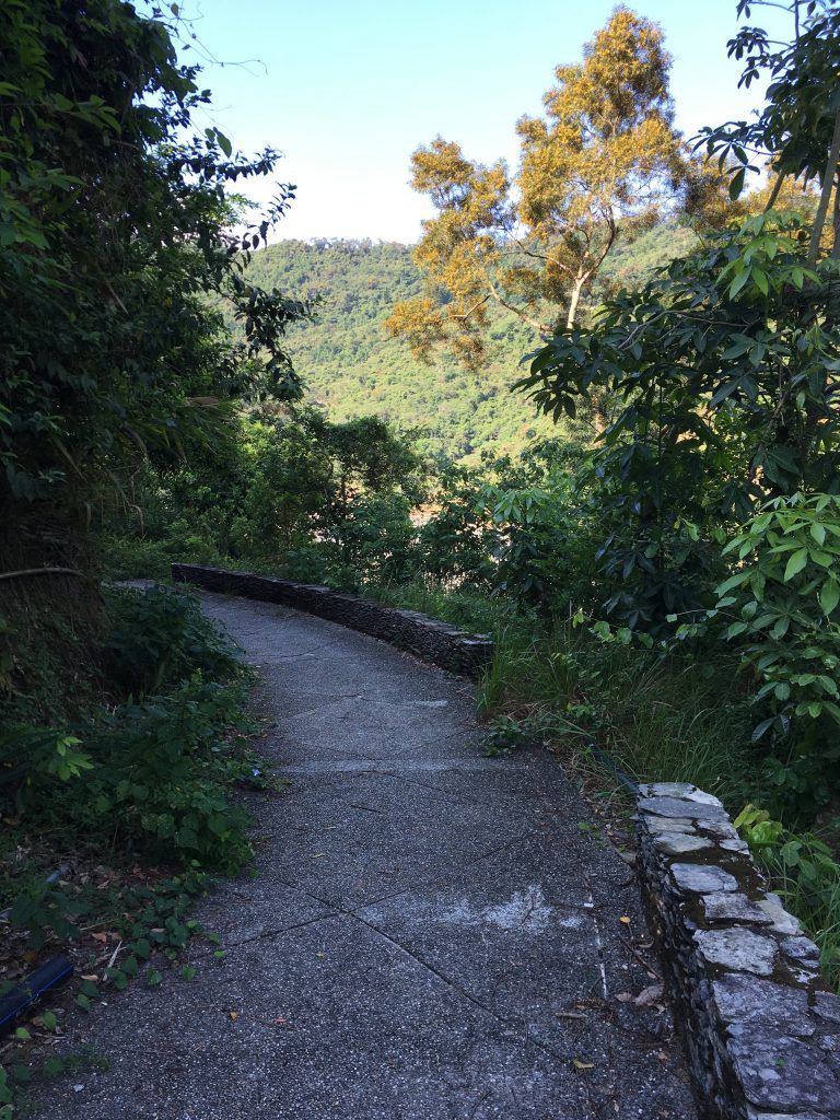
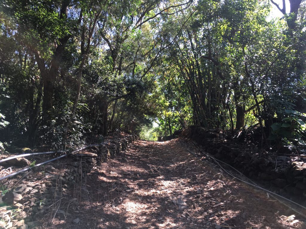
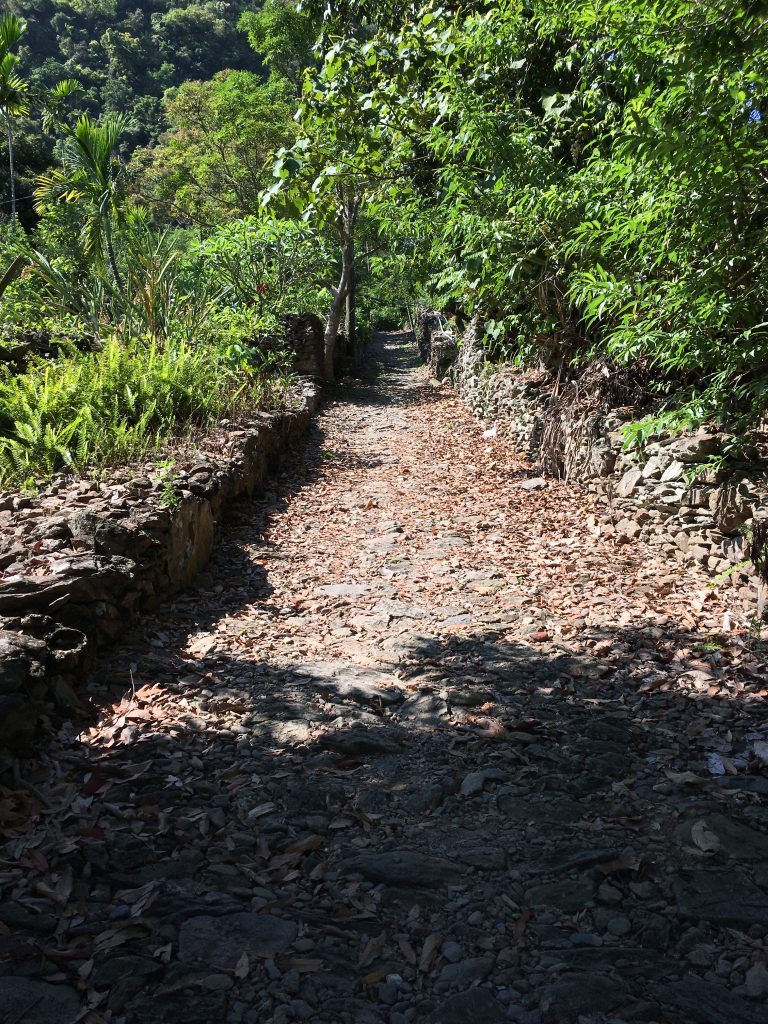
The hike up to the village starts easy enough.
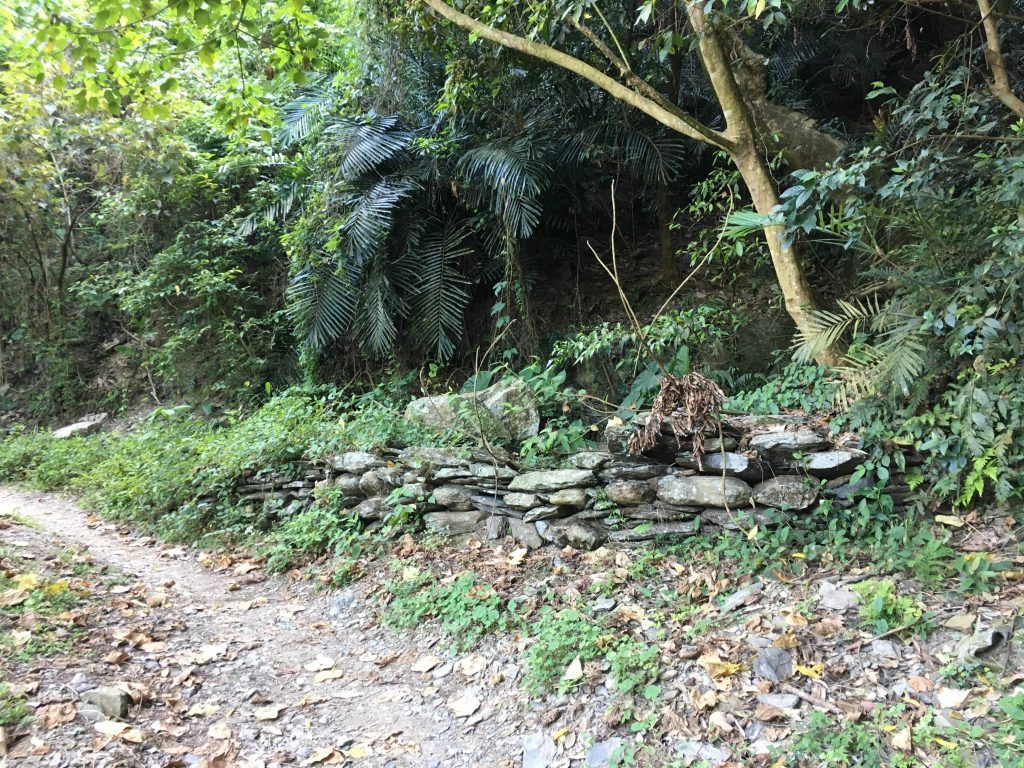
But eventually gets rough…
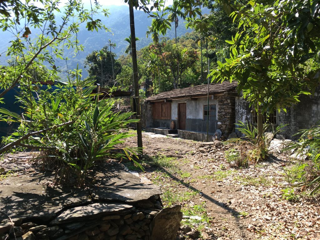
About a 30 minute hike later you’ll get to the outskirts of the village.
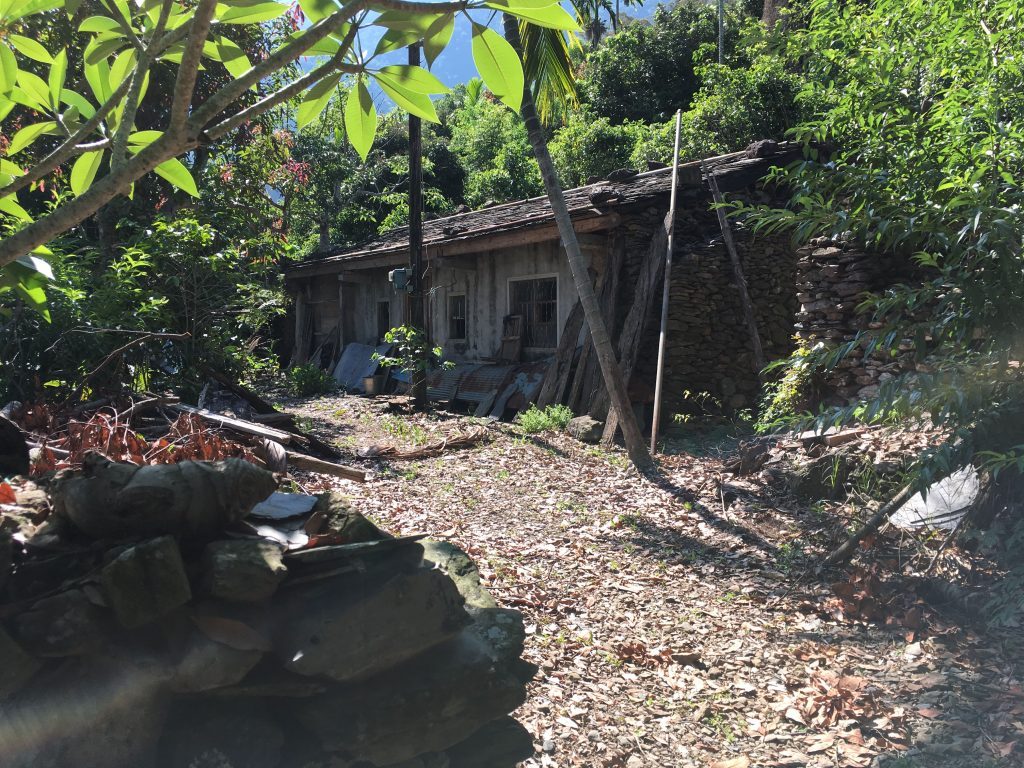
Oh, did I mention the village is abandoned??
Perhaps not entirely abandoned though. On the way up I was passed by an older man on a motorcycle. Later I saw him doing something near the house below. At the time I thought he might have been a caretaker or something.
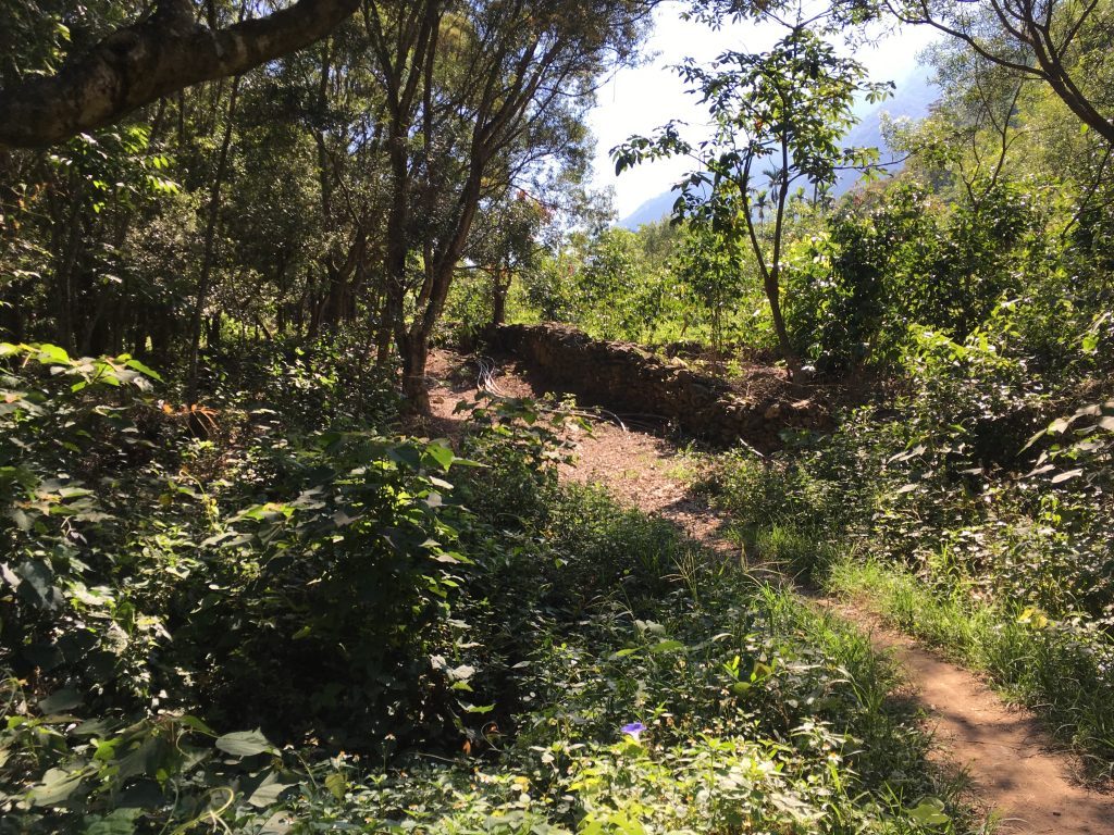
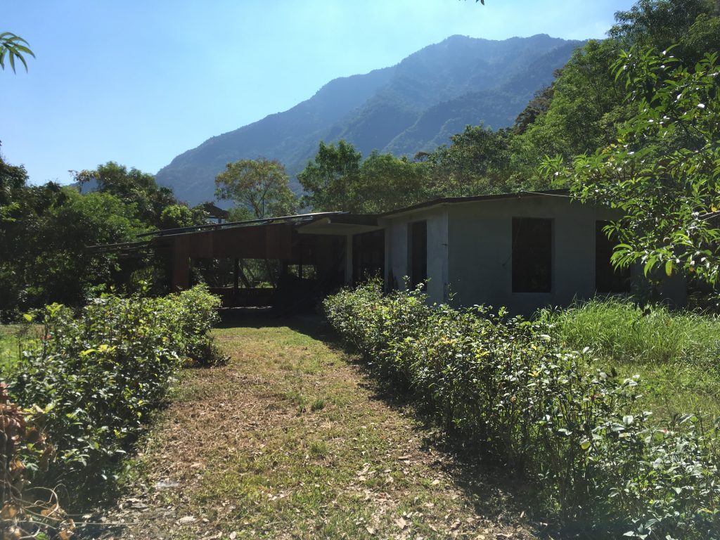
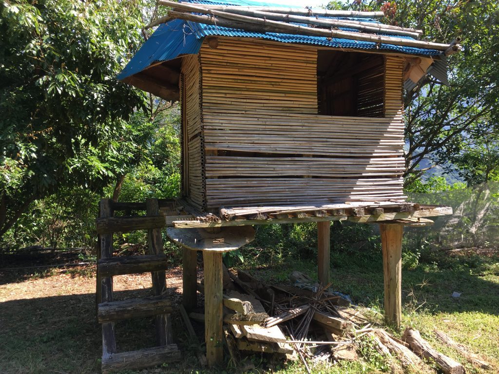
There was water running under the covered area next to this house. It seemed to me that this area could be used to camp out. But I’m not really sure. Behind the house there were these two structures.
Getting back to the man on the motorcycle. I later saw him pass me on the way up to the peak. There’s a wide trail going to what I can only presume is farmland. So perhaps he’s was a farmer. Later at night on my way back to the village I heard a dog barking at me from one of the houses at the back. Clearly there was farming going on around there. When I got back to my car a scooter passed me on it’s way to the village. Perhaps it’s not entirely abandoned.
As I mentioned, it was HOT that day. But made for nice pictures!
This little road takes you up to the trail head:
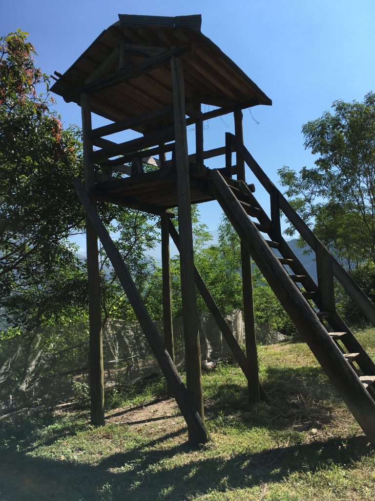
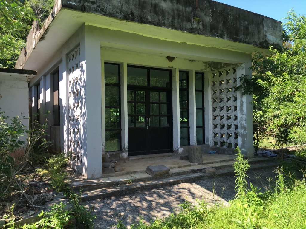
I can only assume this was an old police station
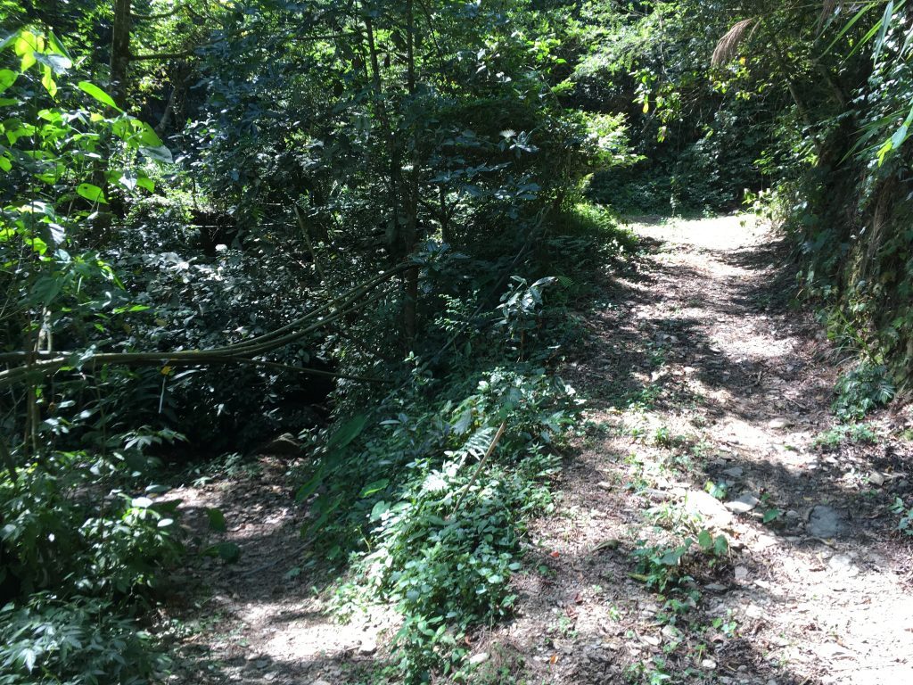
From here you follow a typical mountain dirt “road”. It goes up, twisting and turning and is relatively easy to walk. You can stick with the road to get to the trail head, but it will add some time to your trip. Or you can follow a shortcut trail along the way that’s quicker. I took the trail on my way up and the road on the way back down. The trail isn’t as easy to traverse as the road, so I was happy to spend the extra time on the way down…I was dead tired!
Just follow my gpx track below to find this trail.
When you exit the trail you’ll be back on the dirt road again. At about this exact spot is the trail head to two lower peaks: Tian Liang Jing Shan Xi Feng and Tian Liang Jing Shan Qian Feng – 田良井山西峰 and 田良井山前峰. I thought I could attempt these on the way back. But little did I know I was going to be in no mood to try. That and it was dark. 🙂
The GPX track I found showed the hikers took about 4.5 hours to make it up and 4 hours back down. That’s probably what you can expect if you’re a reasonable hiker. Apparently I’m not. I enjoy stopping when I feel like it and resting when needed. I’m probably not the best person to hike with unless you’re that type of person. OK, back to the hike!
A short while after you reconnect with the main road you’ll come to the start of “the real hike” in my opinion. This trail branches off to the left.
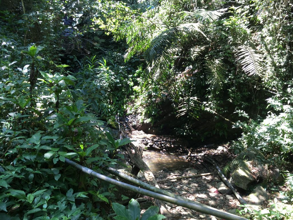
There’s a small stream near here that you could use to top off your water. I would suggest you consider it. Though on this day I passed because it didn’t look all that nice. It hadn’t rained in some time and with all those PVC pipes and some litter…well, I thought I would be fine.
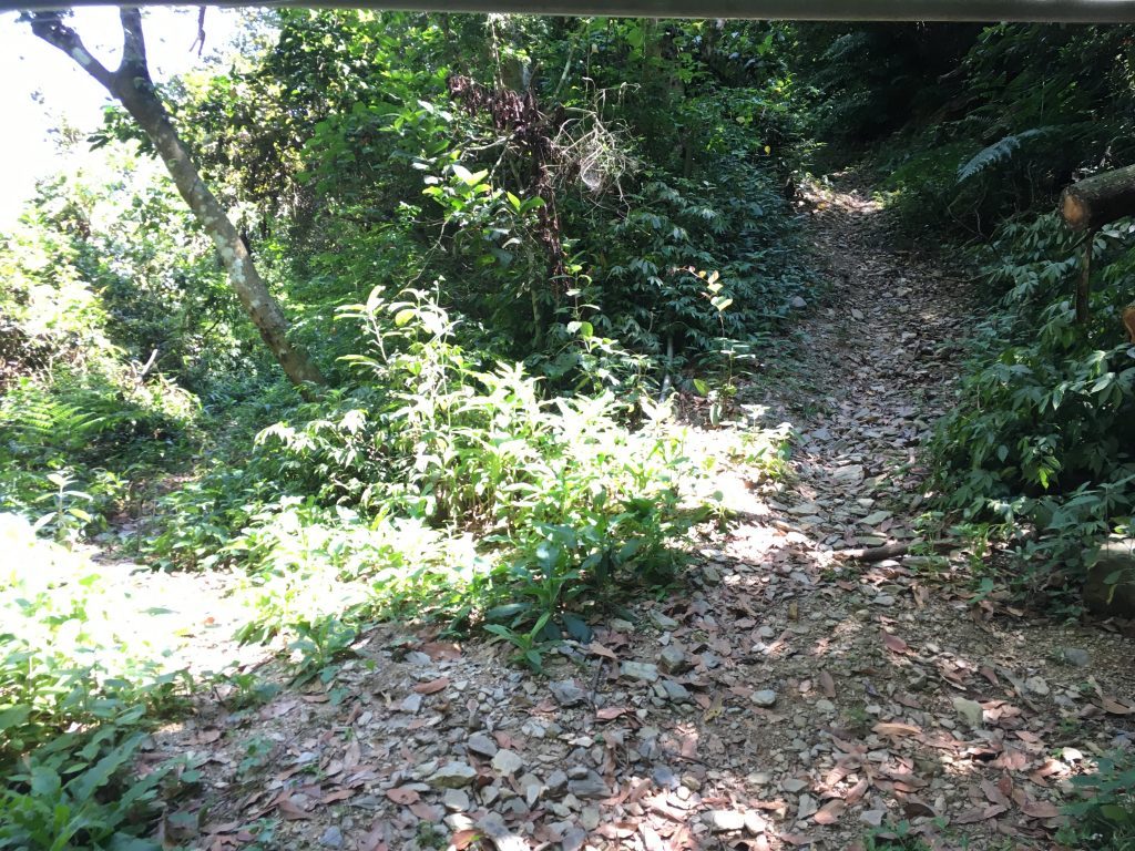
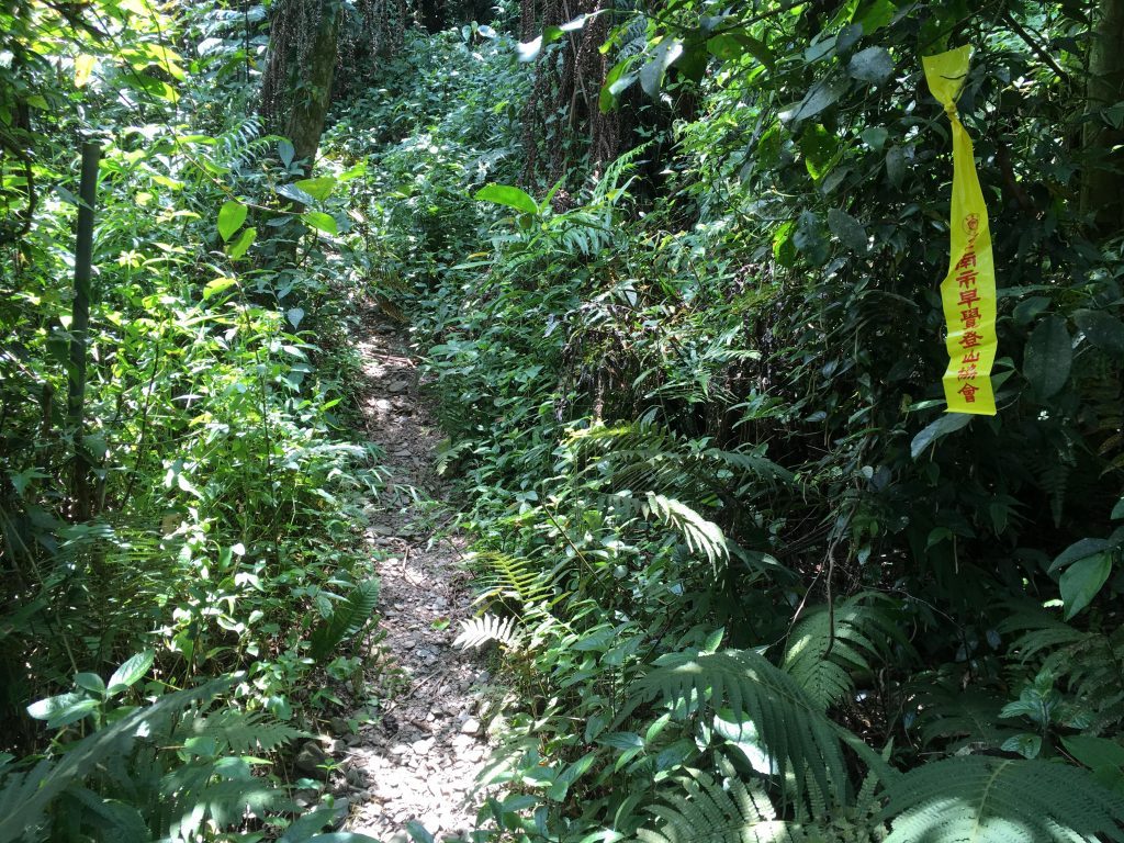
After a bit more hiking you’ll come to a spot where the trail splits off to the left and appears to go down. I have no idea where it goes. I couldn’t find it on any of my maps, so we’ll just call that our mystery trail. If you keep going straight though, the trail will turn off to the left as well but up instead. And THIS is when the ass kicking began.
The trail got steeper, which was no big deal; I figured it would level off eventually. I would look up and think, “Ok, there it is. That must be the top,” and get there only to find out I was wrong. It just kept going up, and up, and up and up….. This train of thought happened three or four times before I gave up and figured it would never level off.
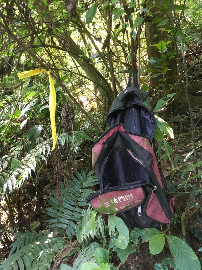
I came across this emergency pack provided by the government. Someone raided it long ago.
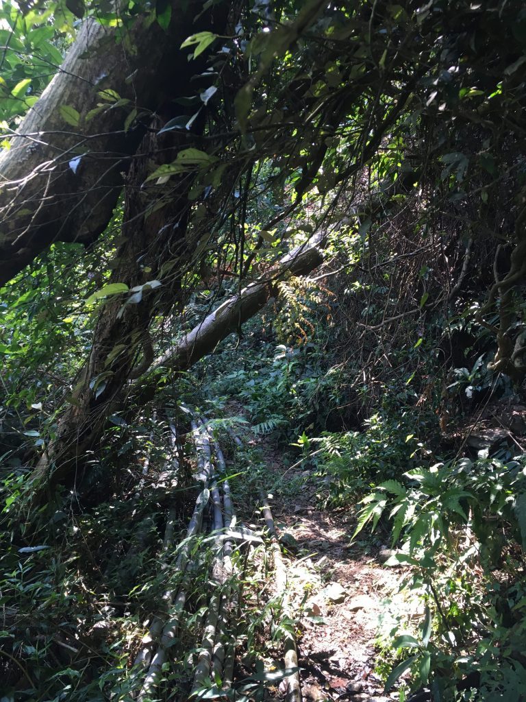
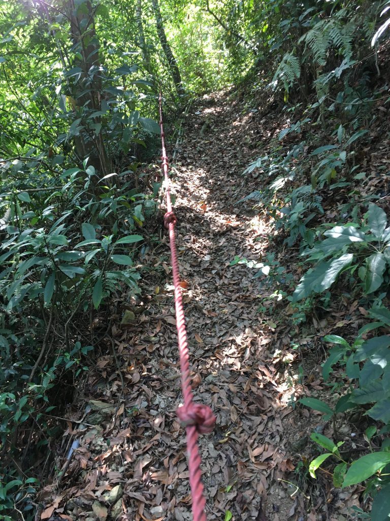
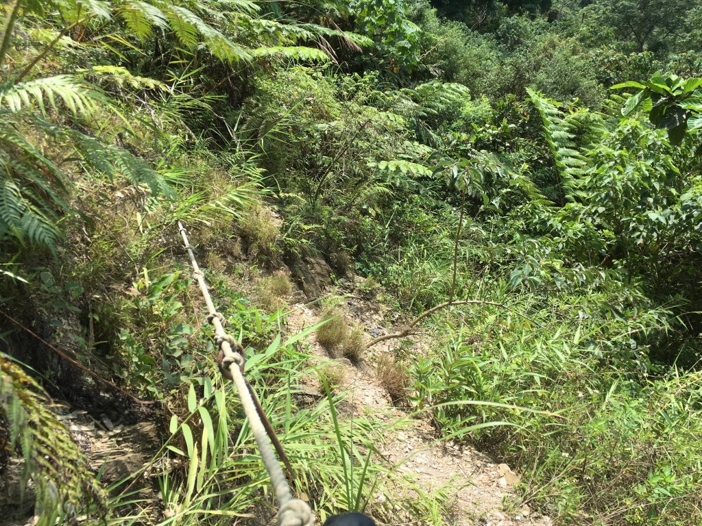
At times it got pretty steep. Steep enough to warrant a rope.
I had brought nearly 5 liters of water with me, 800cc’s of a premixed “sports drink” and drank a crapload of water in the car on the ride over. I knew it would be hot and I would be drinking a lot of water. Somewhere along this “never-ending stretch of incline” there was this:
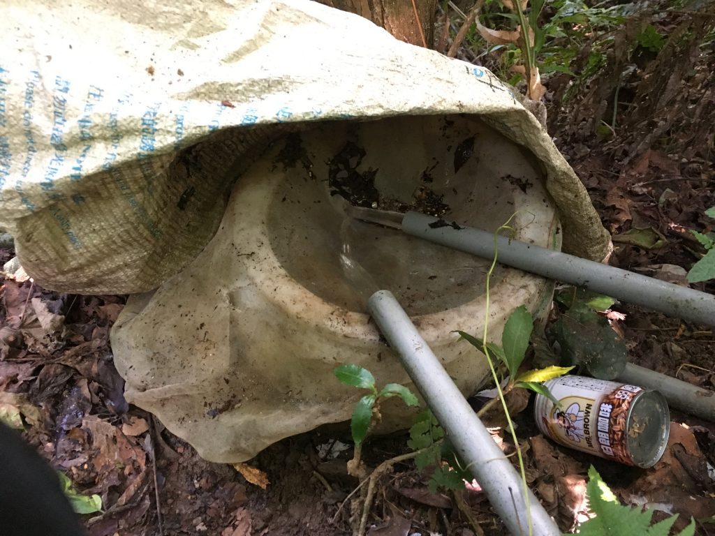
The water fills up inside a small tank and the overflow continues down the mountain via PVC pipe. I can see no other reason for this other than to supply drinking water to hikers. Why else have this little covered and screen filtered water tank? I had already drank a good deal of my water and took advantage of this man made mountain oasis. Consequently, this caused me to lose some time. I wasn’t about to take any chances and filtered the roughly 3 liters I took.
Back to the trail!
The rest of the hike to the ridge-line was pretty much the same: just going steeply up and up. There was rarely a spot where it levels off to give you a break.
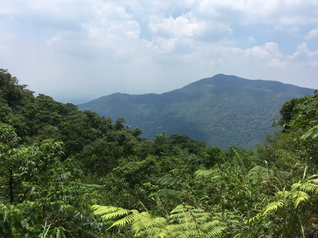
Eventually a spot opened up that offered a view
This was probably the sketchiest part of the whole hike. It wasn’t terribly dangerous but this rope was supposed to be held in the middle by a metal spike. As you can see, the spike is no longer attached. Be careful…
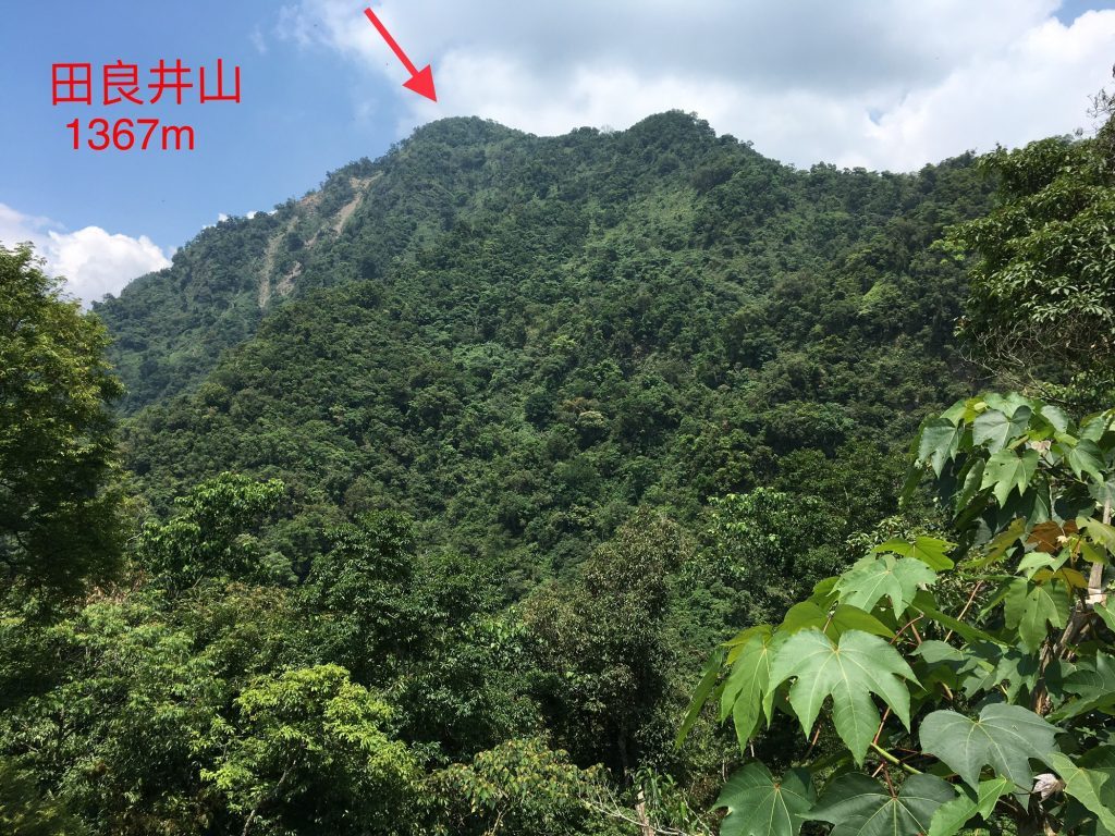
This is where I got my first glimpse of my objective
I had hiked so far already and yet it seemed I had such a long way to go!
Well, I finally made it to the ridge!
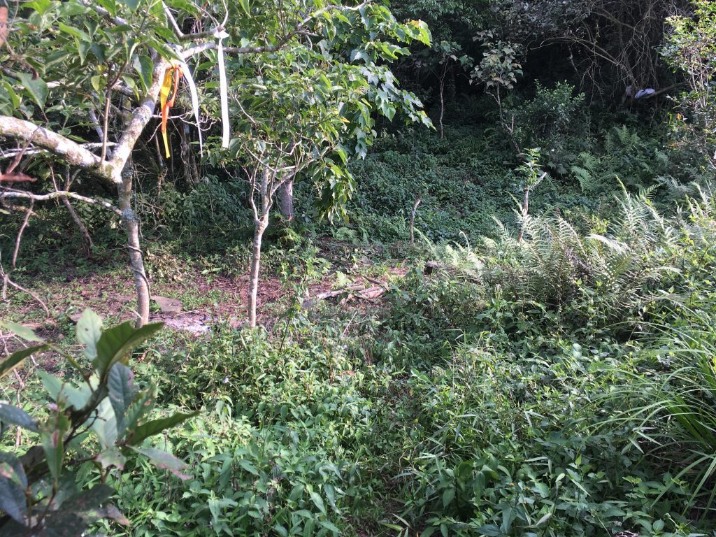
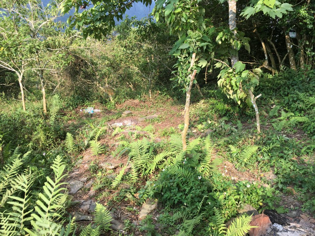
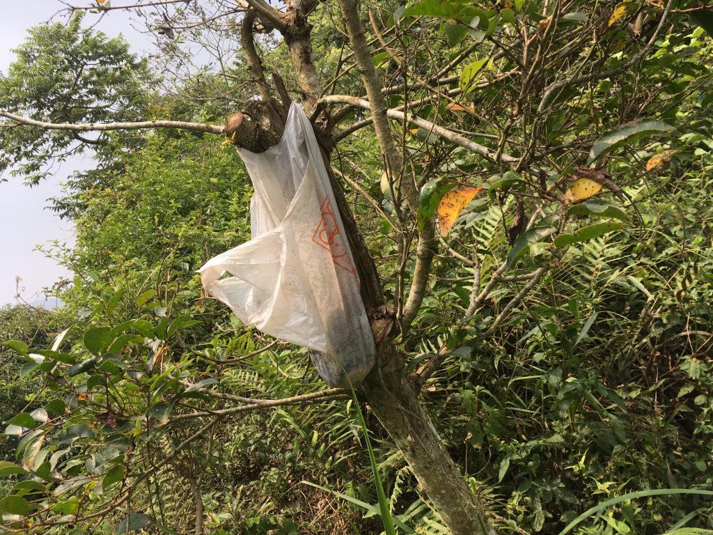
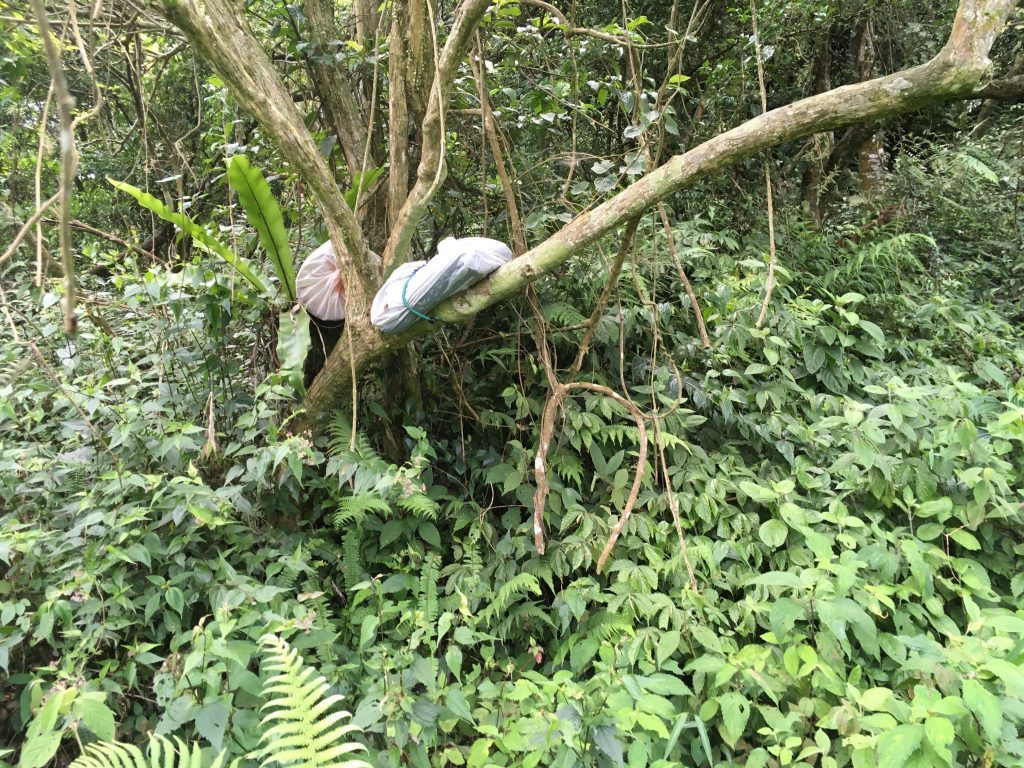
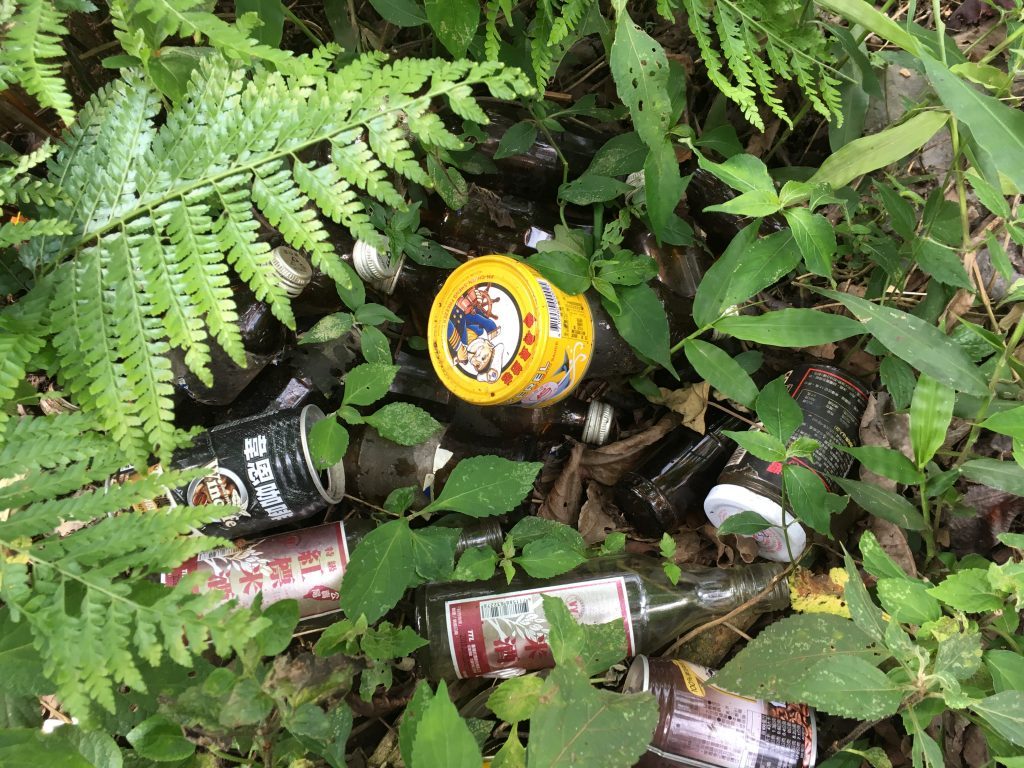
This would be a great place to camp or just take a long break to eat and resupply your energy reserves. Unfortunately there’s plenty of garbage strewn around.
I guess if you bag it and put it in a tree it’s “OK” huh? *virtual eyeroll*
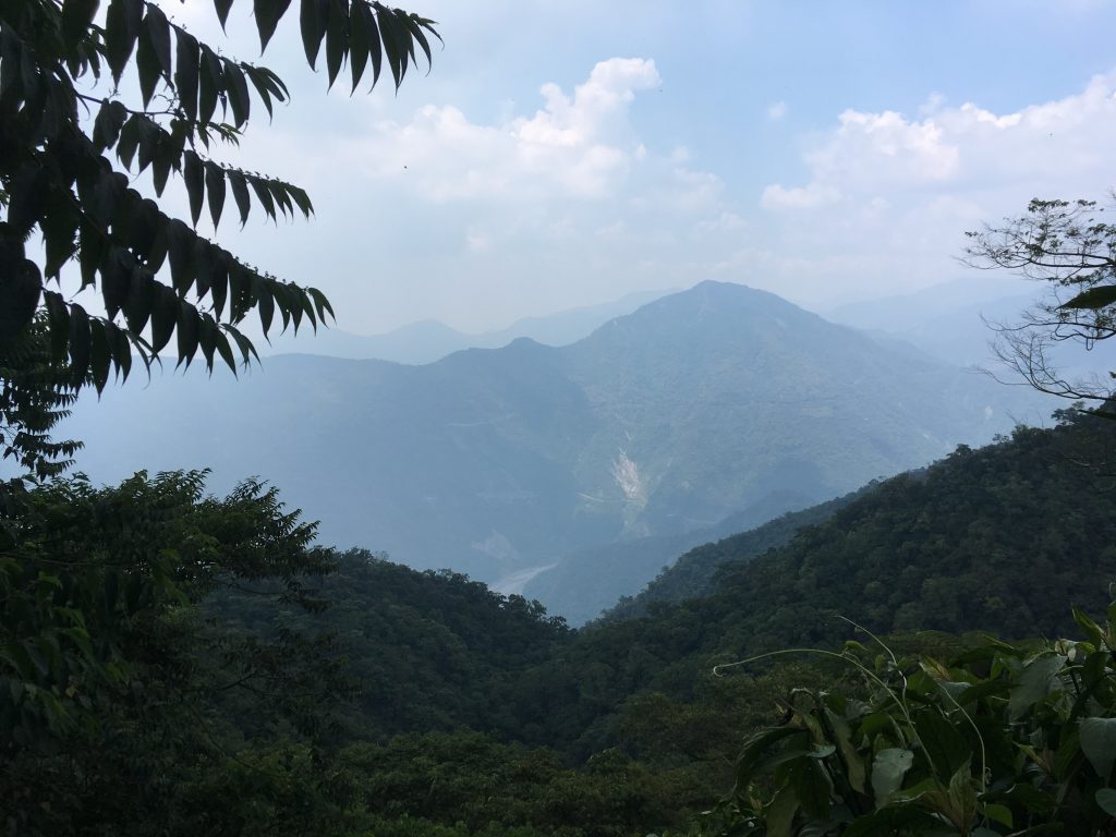
The view of the Sandimen side:
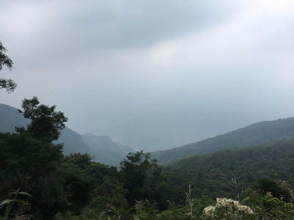
The view of the other side:
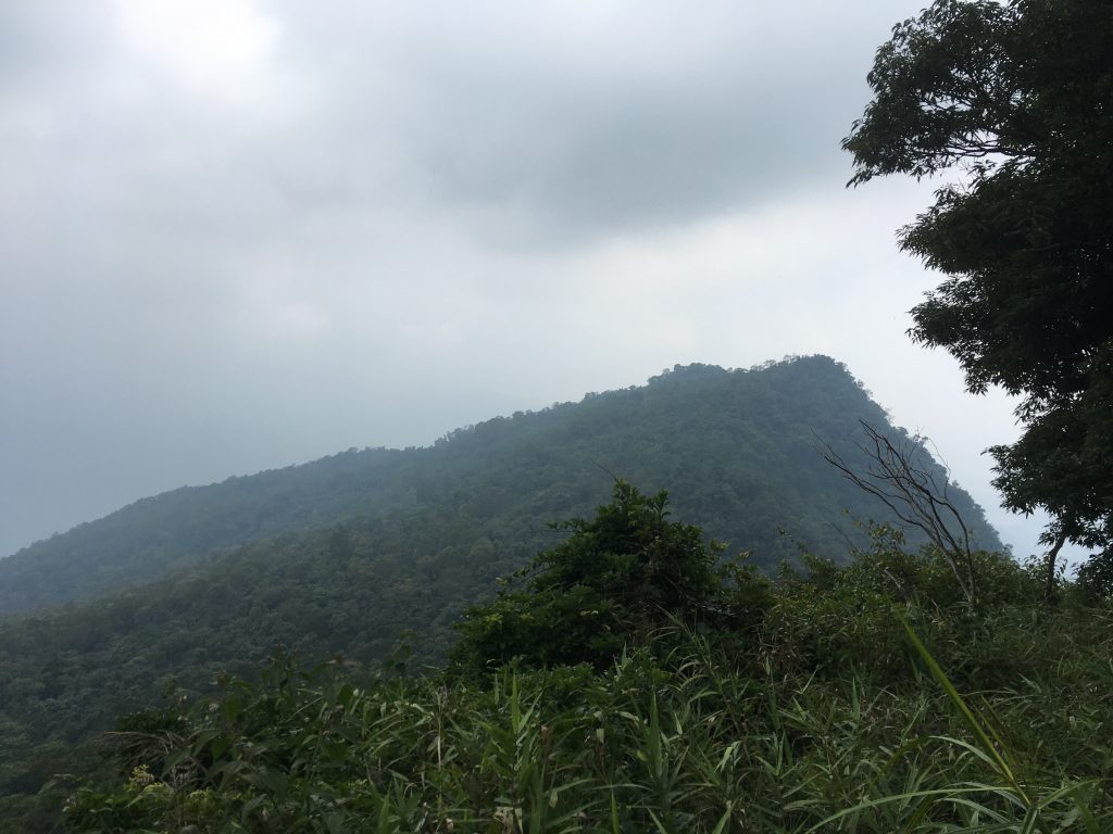
From the ridge you can choose to go to the main peak or the southwest peak (田良井西南峰). My plan was to hit the main peak first and then the southwest peak on the way back. Again, that didn’t happen. I was running short on time. Even though the trail is dead simple to follow, I really didn’t want to do it in the dark. The best I could do was look at the peak from the ridge.
On a side note, it will take about one hour to reach the southwest peak once you get to the ridge. I came back and hiked it in February of 2022.
From the ridge it took me almost an hour to reach the main peak. I was pretty darn tired at that point and going slow. The hikers from the GPX track I used took significantly less time. Though they did take a 50 minute break when they reached the ridge, whereas I just kept going.
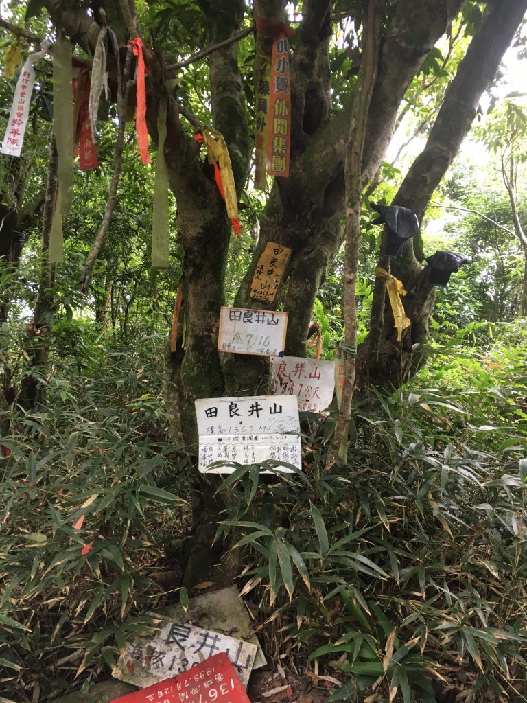
And eventually I made it to the peak!
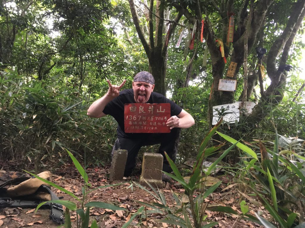
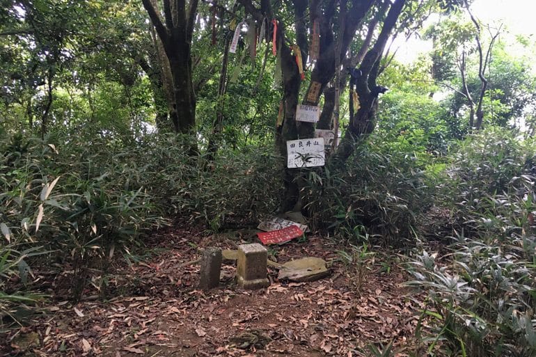
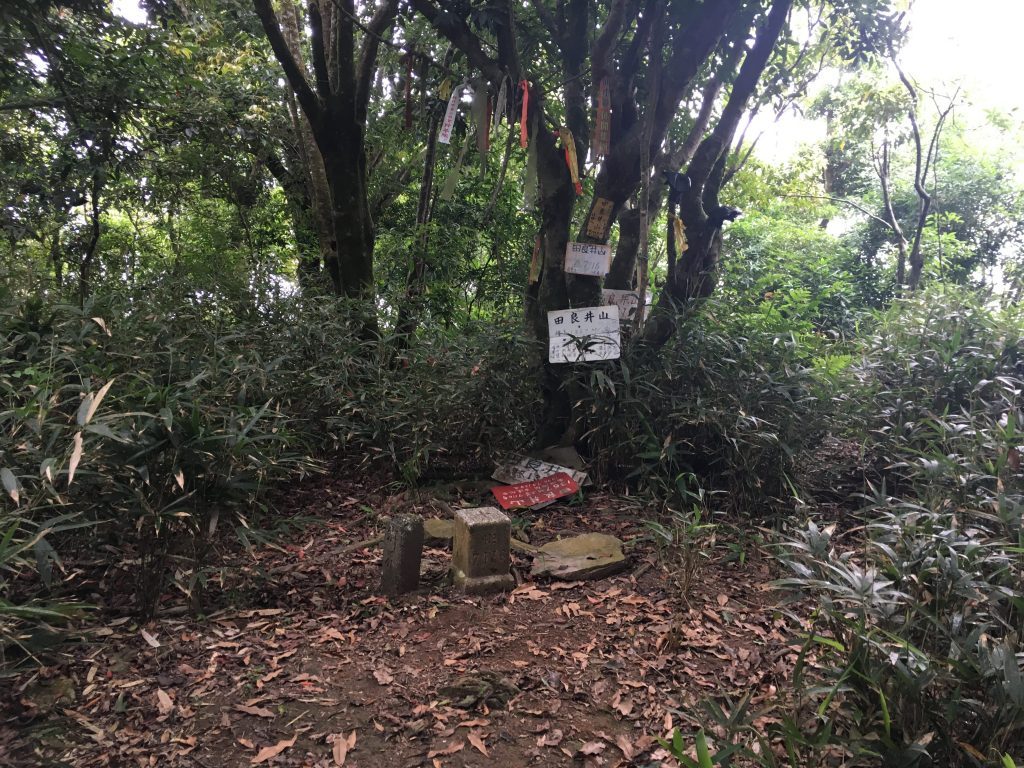
I spent a good hour up there cooking food and relaxing. But it wasn’t nearly enough time to get my batteries recharged for the trip down. At that point I really wished I had a tent. There was an area a bit down from the peak that would make a good camping spot. There were some stones piled up in certain configurations that I can only assume were placed there by the aborigines some time ago. Sorry, I didn’t think to take any pictures. Here’s some more of the peak though.
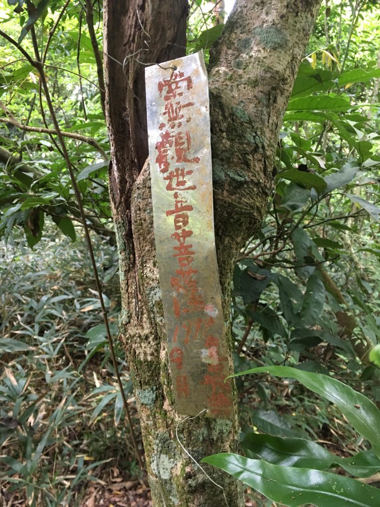
And no…there’s no view at the top. So enjoy it at the ridge-line.
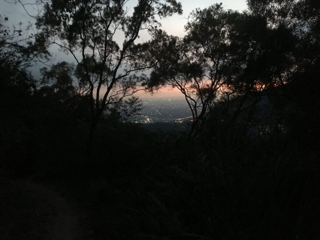
That’s about it. The trip back down was tiring. I ran out of water at some point but luckily the “water oasis” I mentioned above resupplied me at just the right moment. I must have taken a good 45 minute rest at that spot. I made it back to the main dirt road just before dark.
By the time I got back to my car I was done, finished, completely exhausted. It was a good 12 hours round-trip for me. I had forgotten to take an extra pair of socks and paid for it on the way down. They were wet with sweat and caused my feet to hurt something awful. (after I got back to the car and my feet got dry, they stopped hurting) I would only do this hike again if I ride my motorcycle up as far as I can go. I feel bad that I missed those other peaks.
That’s it! Hope this long winded narration was helpful.
Date hiked: 2018 May 28
GPX Track Download Instructions: Click the track on the map to see the download link





![[Valid RSS]](https://outrecording.b-cdn.net/wp-content/uploads/2020/03/valid-rss-rogers.png)
Leave a Reply