

NanJiuBaoShan – 南久保山 is located in Pingtung not far from Laoqijia 老七佳. I’ve been to JiuBaoShan 久保山 and figured it was time I hiked to this peak.
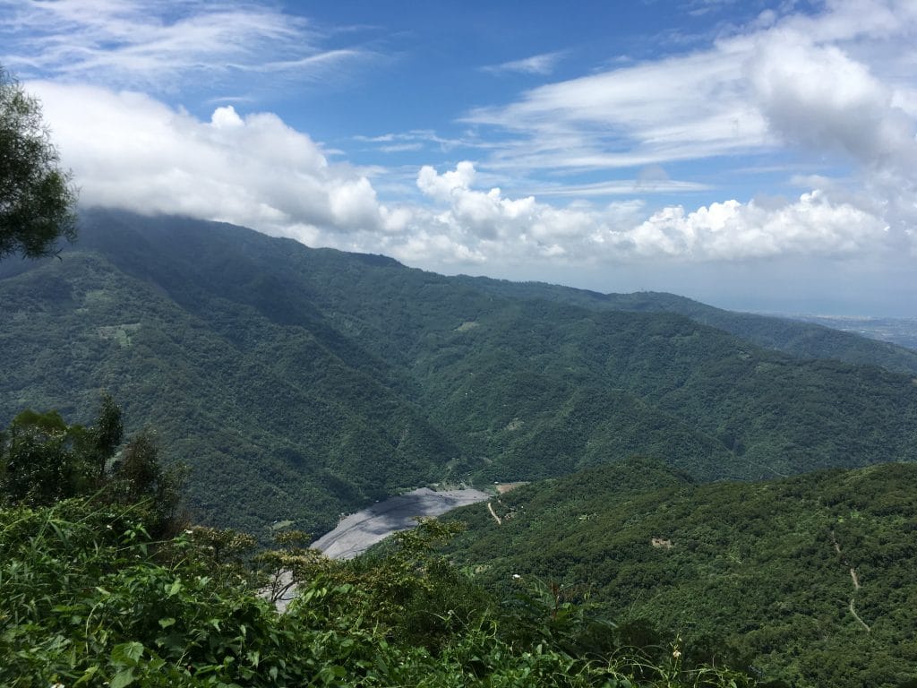
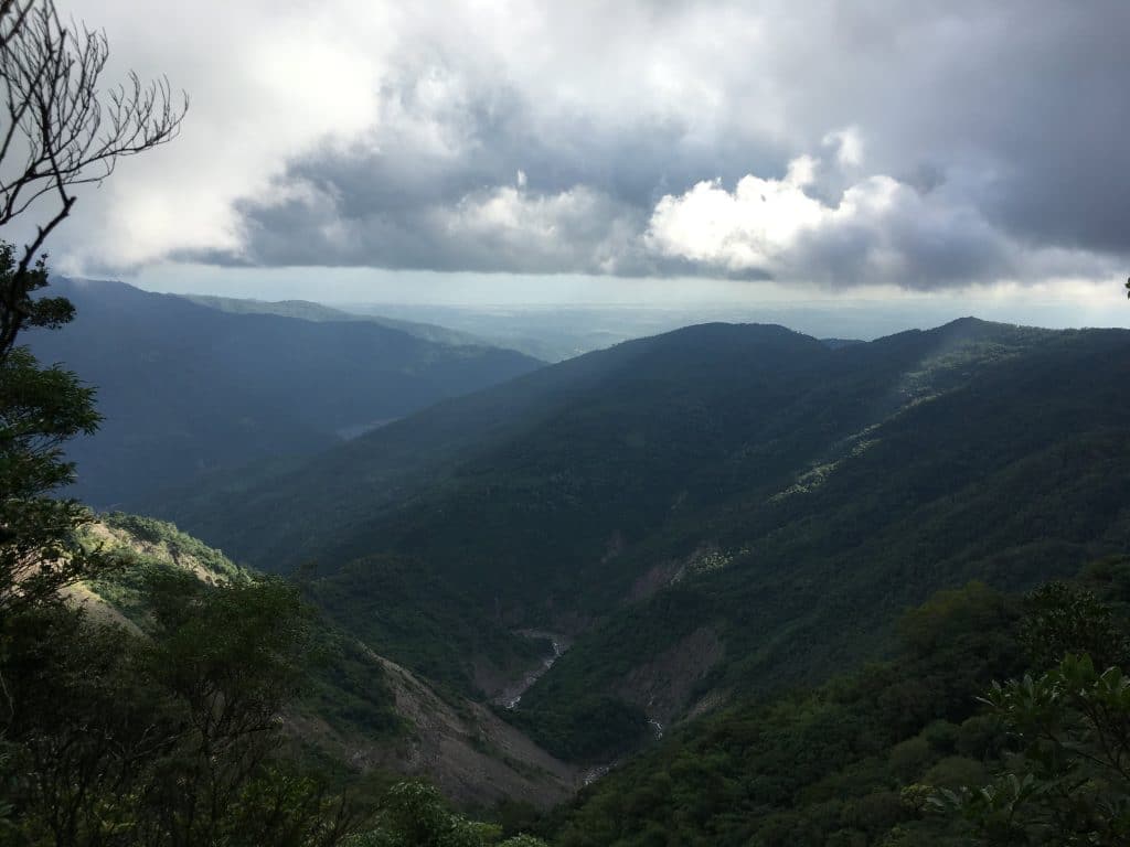
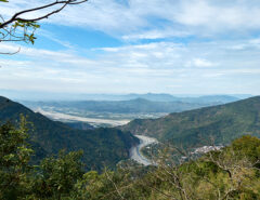
The morning had great weather and nice views on the way up to the trailhead.

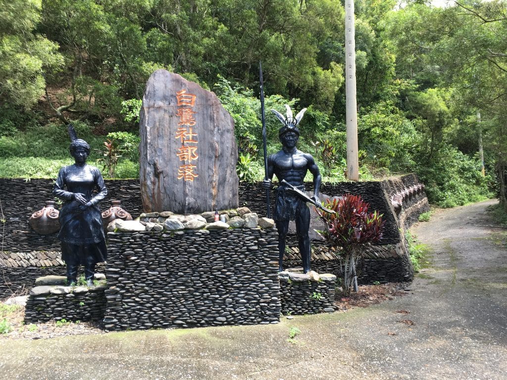
It’s quite a climb, even by motorcycle. You’ll eventually be at the “top” when you see this place.
From here you can go left or right. Whichever way you choose it’s one large circle that will bring you back here. I suggest taking the left road.
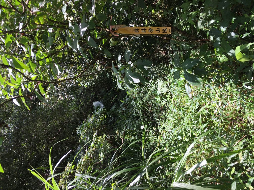
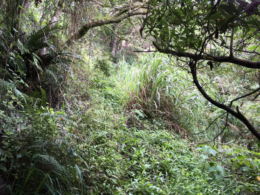
You’ll wind through more mountain roads and eventually come to some really tall grass, or maybe it’s sugar cane. Don’t worry, there are never spiders in there. Just drop your visor and push on through. Here’s a vid of the grass from another time I was out there.
Hidden in this grass is a left turn that goes up some pretty gnarly double and then single track trail. You might want to consider parking earlier than this spot, maybe before the tall grass. When I did this hike I saw a local hunter riding his “old man motorcycle” up that trail. He looked really tired trying to keep it straight, but he did it. (note, the ground was a little wet) So it is possible with a normal motorcycle. If you choose to hike it, it’s roughly 1.7 kilometers from the tall grass to the trail head. There’s a spot you can park about a kilometer or so into the trail in case you change your mind later.
After a little fun ride I made it to the trail head.

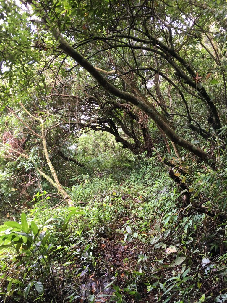
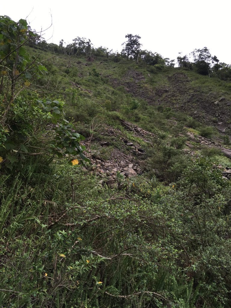
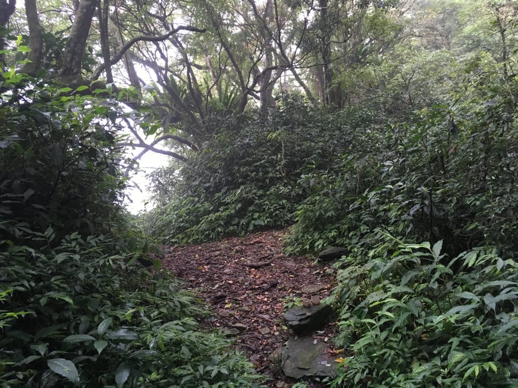
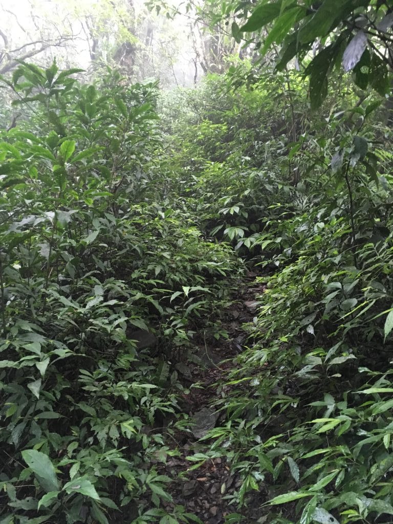
The trail is about how you’d expect. There’s a clear trail to follow but it’s obviously not used a lot. Most of the beginning looked like this:
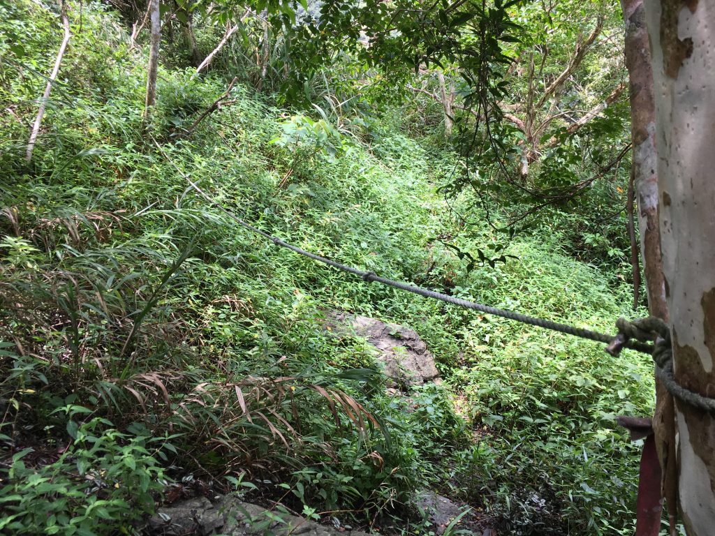
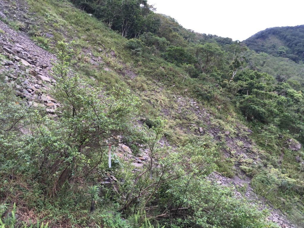
It’s a steady uphill grade and not terribly difficult. However, the closer you get to an upcoming large landslide, the more difficult it gets. A bit of rock hopping, rope work and careful foot placements are needed, but still manageable for the average person.
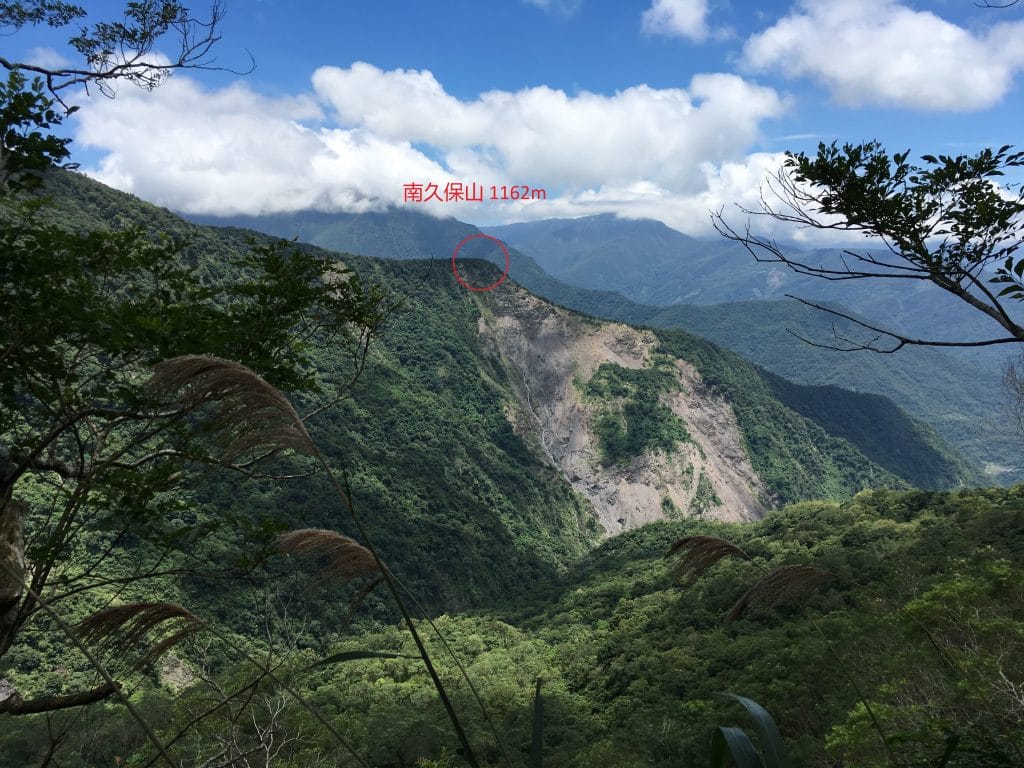
About midway between the trailhead and the landslide is where I got my first good view of the NanJiuBaoShan peak.
From the trail head it’s almost a 5km hike. I still had quite a bit of ways to go from this point.
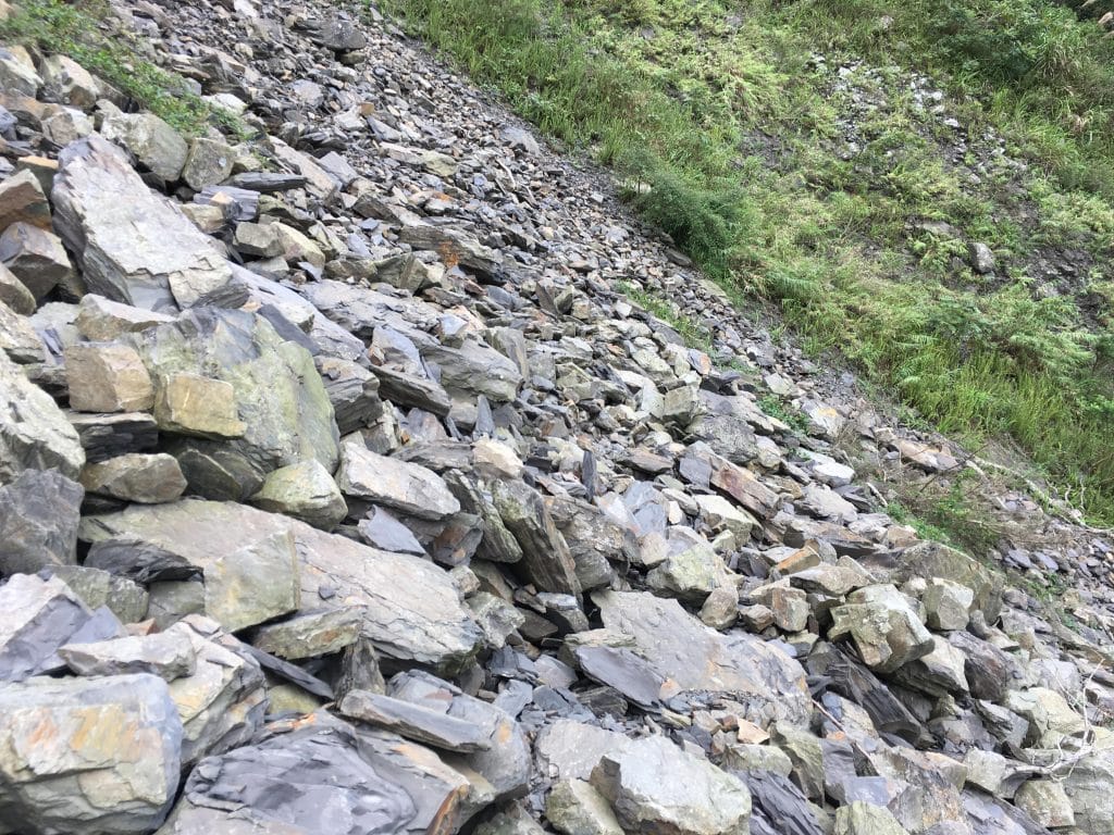
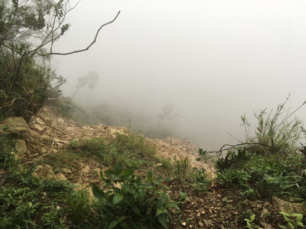
Eventually I made it to the landslide.
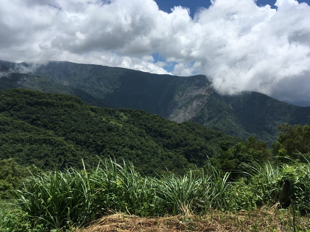
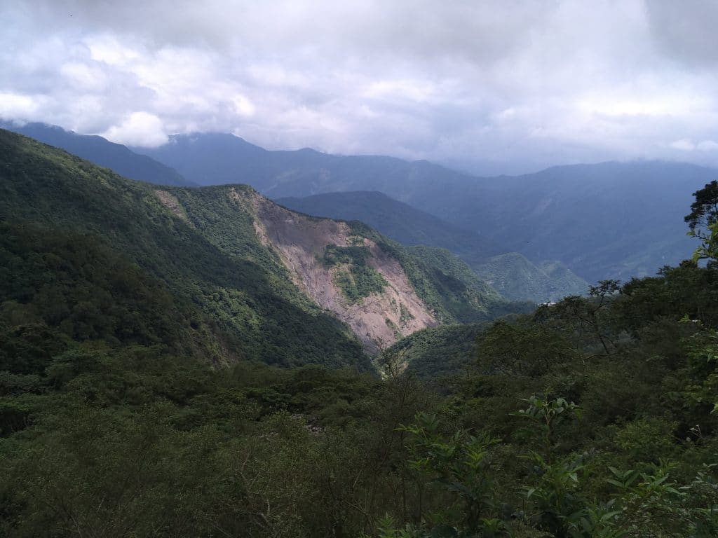
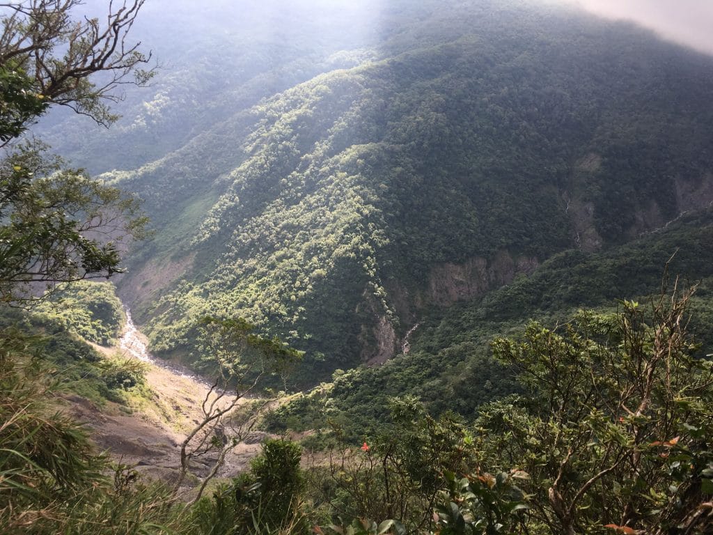
From here you get a great view of the mountains and river below.
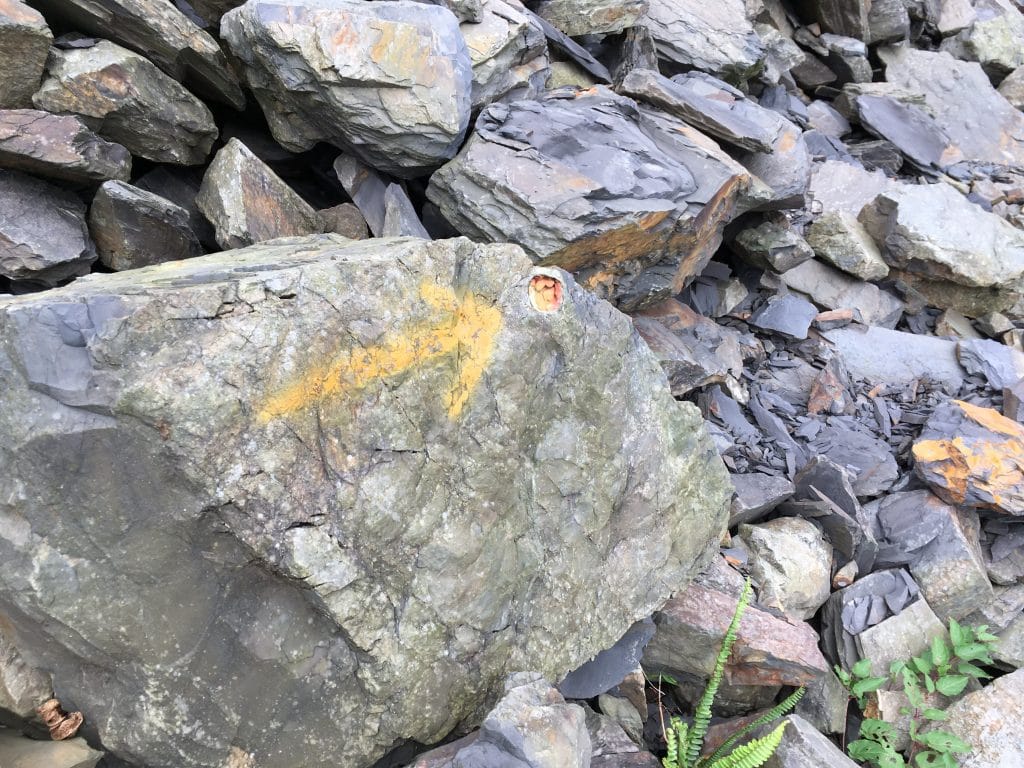
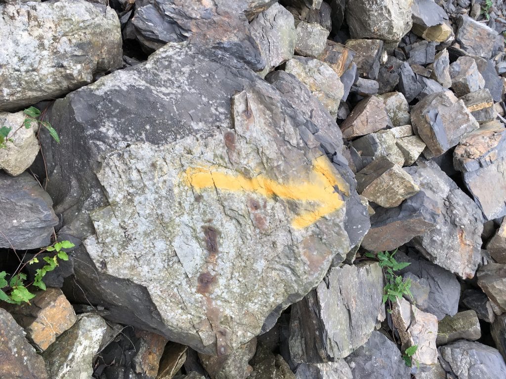
Thankfully some kind soul marked the way across the rocks so I didn’t have to wander around searching for where the trail picks back up.
From here came the start of the toughest part of the hike. Well, for most people it will be. For me it came towards the end of the hike.More on that later.
It gets steeper and there’s more climbing and ropes. And the trail puts you close to the edge a lot. Actually, the whole beginning puts you close to the mountain’s edge. But this section is the worst. But no worries, it’s not bad. You just have to be careful and take it slow.

As a side note, I want to mention something about the ropes you find out in the mountains. Make sure you take the time to give them a good tug and put your weight on them before you commit to using them fully. This should seem obvious, but you never know. I’ve had stakes pop out while I was using the rope. On this particular hike, I used one rope to get up a series of large rocks. Right when I got to the end, the metal stake anchoring the rope pulled straight out of the ground! I tried my best to put it back, but I didn’t have anything to drive it down properly. Using nearby rocks didn’t help; they just broke up on impact. I eventually managed to tie the rope around one of the larger rocks. It was plenty big enough to support anyone’s weight, but I’m no expert. It’s possible it could slide off the rock in the future. (I used it when coming down later in the day. It worked but still…)
Ok, back to the hike!
It wasn’t long before I came to the “crossroads”.
From here you can go four directions. Back the way you came, JiuBaoShan, NanJiuBaoShan, and a trail that takes you east, deeper into the mountains to several more peaks and past an old abandoned aboriginal village. It’s the trail opposite from the entrance where you came in.
Some small signs to help guide you.

This hike could also be called the JiuBaoShan hike if you wanted. The JiuBao peak is approximately 500 meters distance at about 130 meters elevation from this spot. If you had a late start and not sure if you can make the south peak, then head up to the main peak and call it a day. If you have the time and REALLY don’t think you’ll ever be back to try the JiuBao peak, then head on up there before you start the south peak. That’s what I would do. However, there are a couple trails you can take to JiuBao coming in from the west (one is linked above in my first paragraph). I would highly recommend you try one of those hikes. They’re more difficult than this route, but more enjoyable in my opinion.
Whatever you choose to do, the trail to the right goes to NanJiuBao. (The trail to the left takes you to Jiubao) It’s a bit less used than the trail up to the crossroads and it starts out going up. I mention that because from here, most of the way to the peak you will be going downhill. So up the trail I went.
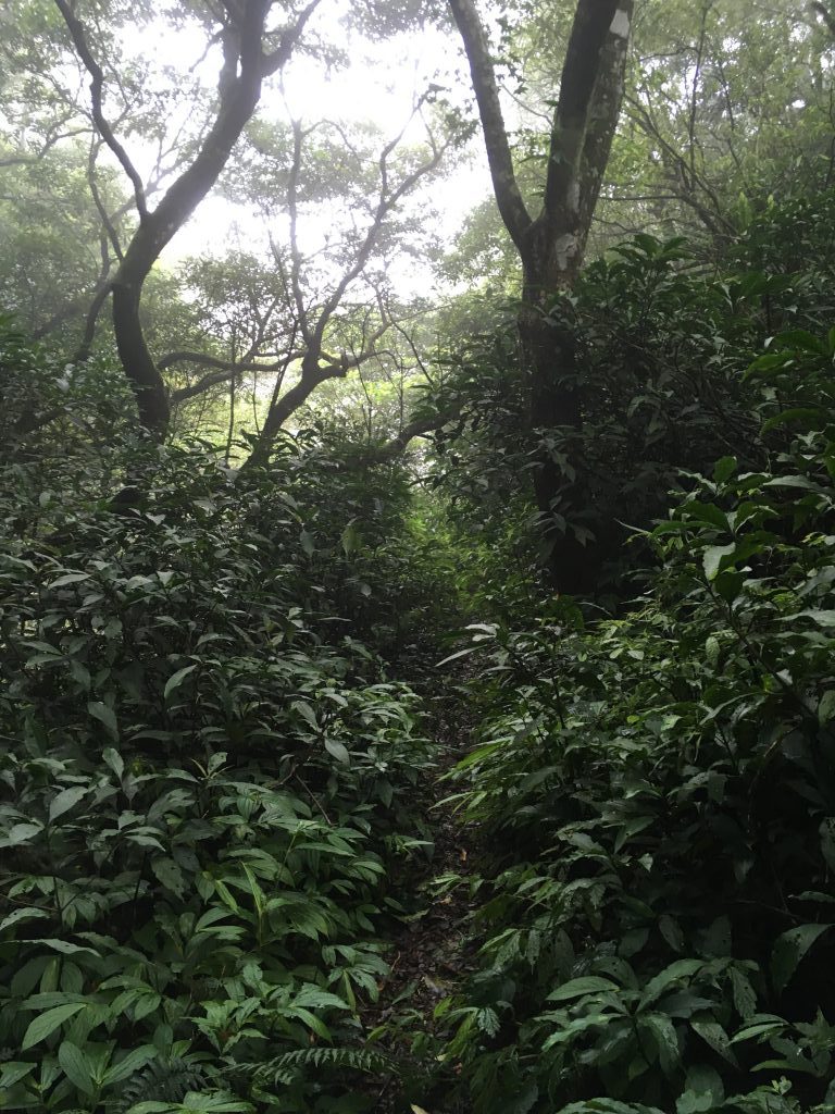
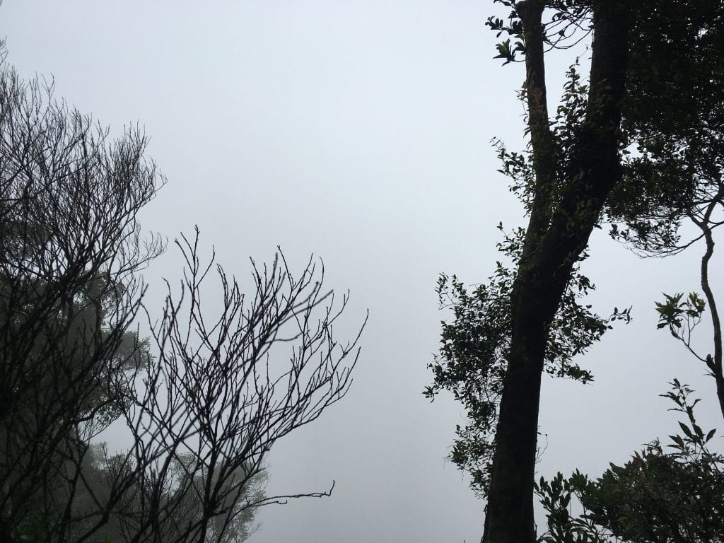
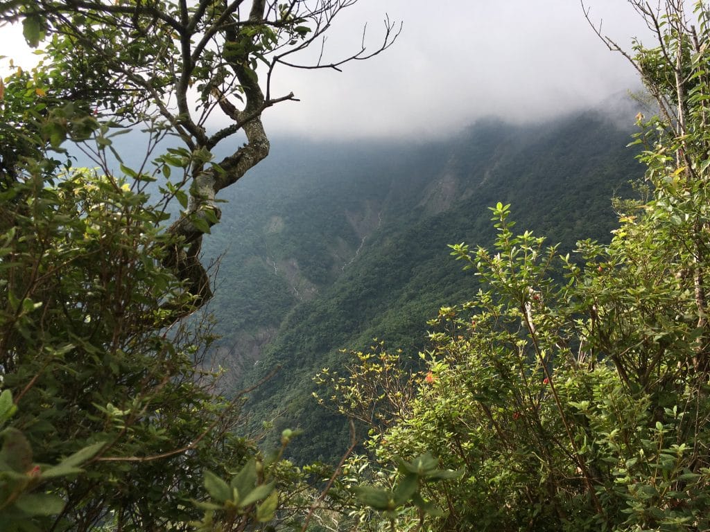
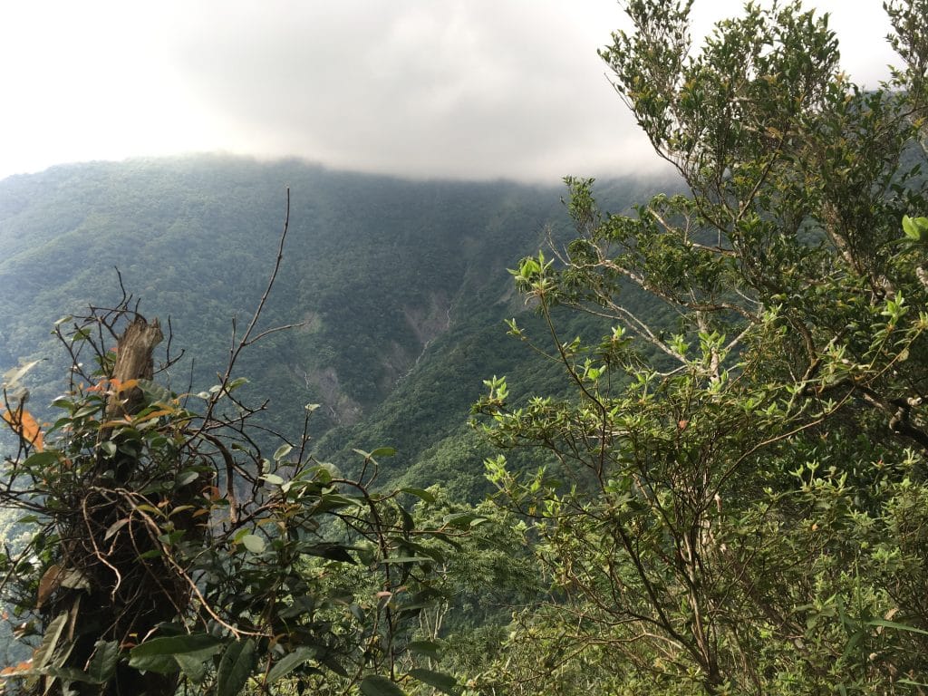
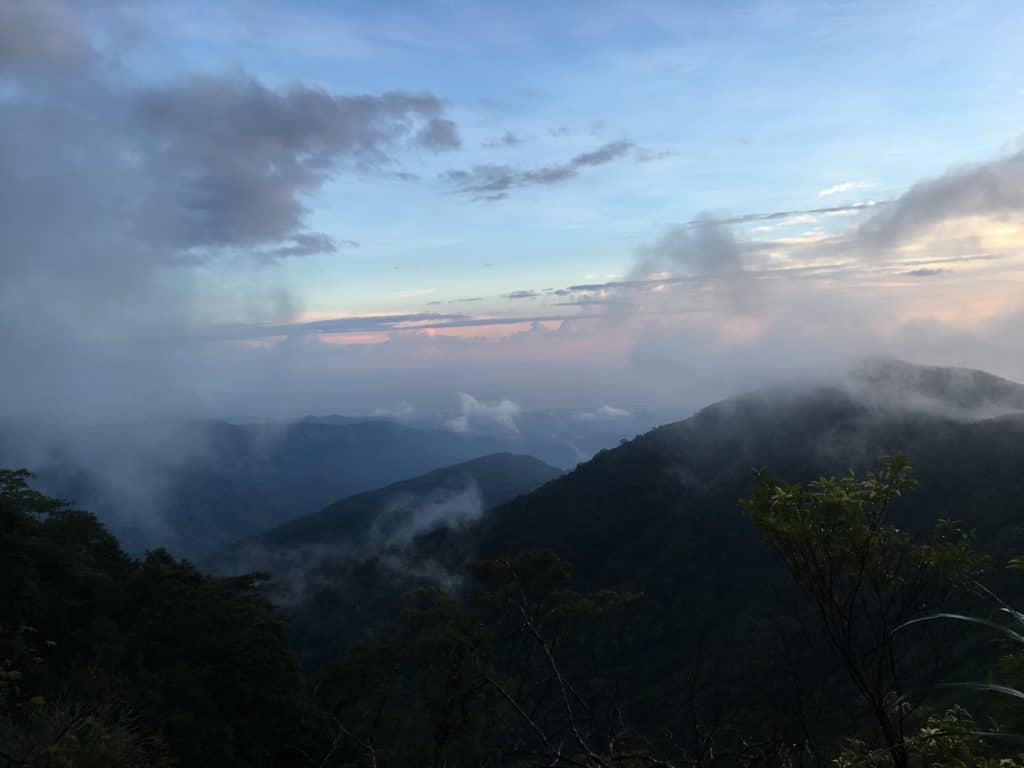
As I hiked on, some clouds rolled in and everything became foggy.
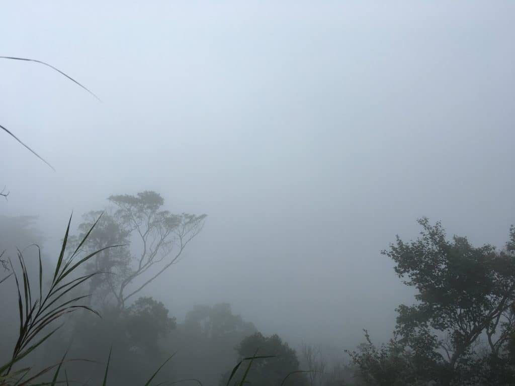
It would clear up for a bit and then get foggy again. It did this for the next couple hours. Luckily there was no rain before I got to the peak.
From the crossroads until I reached the peak, I came across several of these signs:
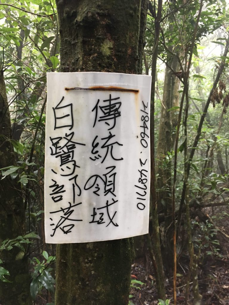
They say “傳統領域。白鷺部落” or “Traditional Area, Bailu Tribe” or maybe it translates as “Traditional Field”. I don’t read Chinese, so when I saw the first sign I was worried it might be a no trespassing sign. Luckily I had cellphone coverage for most of the hike and was able to ask my wife for a translation. In total I saw six of these signs throughout this portion of the hike. They were all exactly the same handwritten signs; only the numbers on the right side were different. I guess they want to remind you where you are and to be a good guest.
Speaking of good guests, I found this old can littered on the trail.
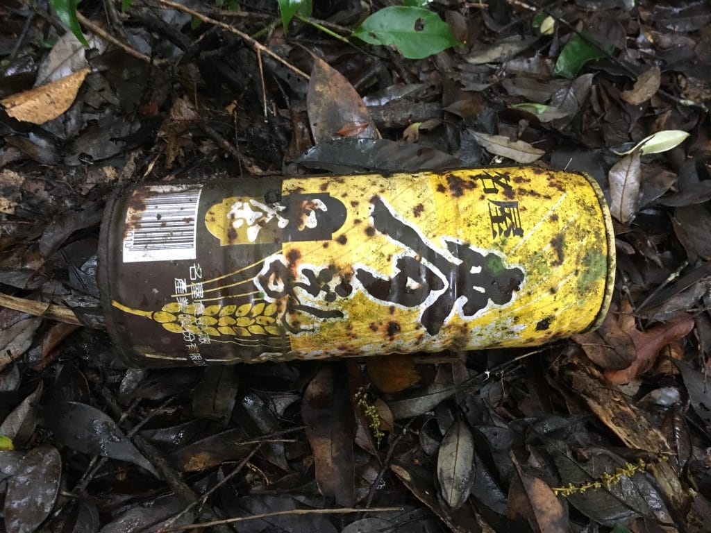

With a mouth tab like that, I knew it had some age on it. I considered hiking it back but thought maybe it’s been out here so long that it has been awarded some kind of special status. I don’t want to mess with any “endangered cans”. 🙂
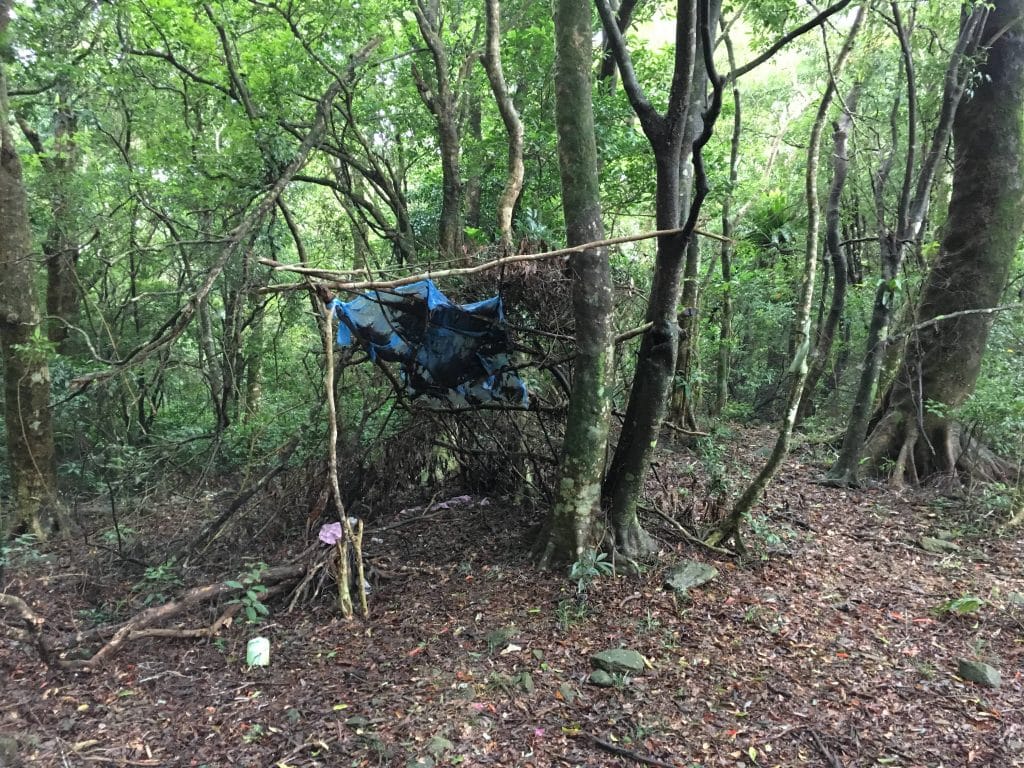
The rest of the hike wasn’t so bad. It’s all ridgeline hiking and as mentioned, mostly downhill. Somewhere along the way I found what I presume to be a hunter’s camp.
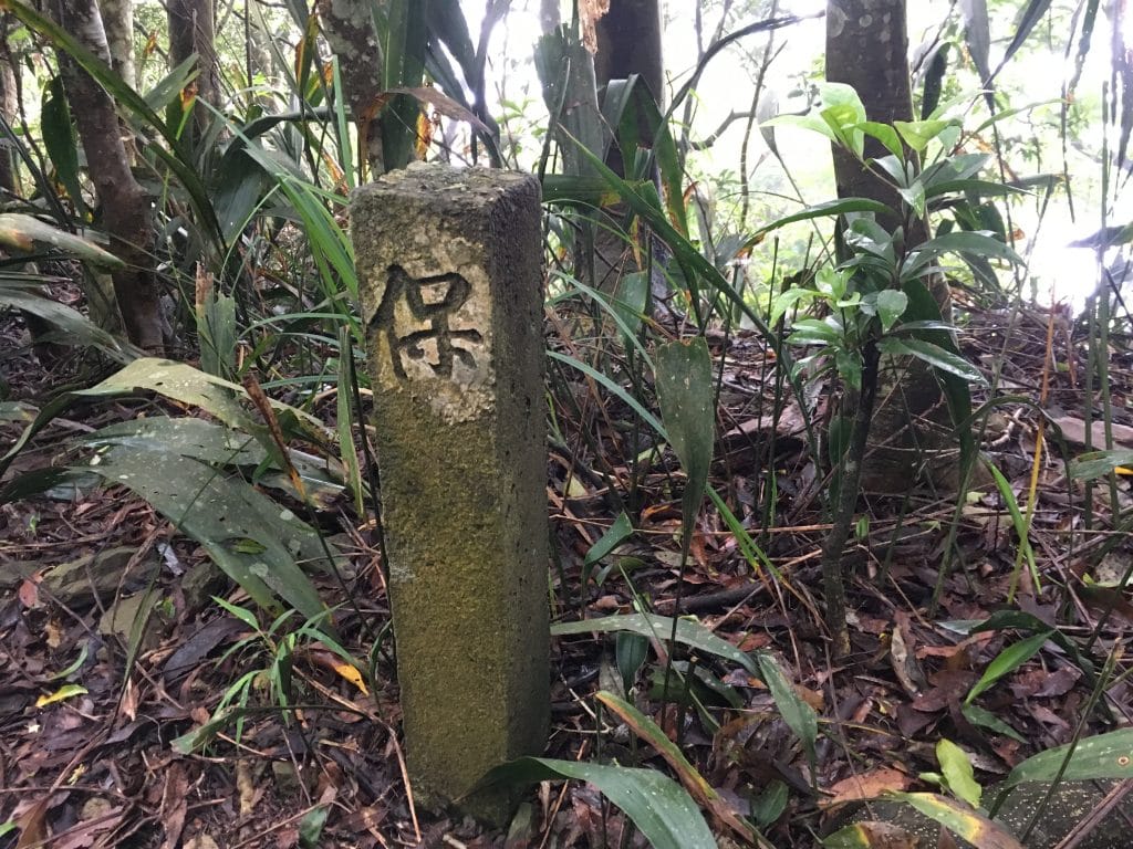
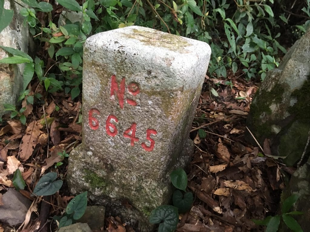
Nearby was one of those older markers. It was the only one I saw that day.
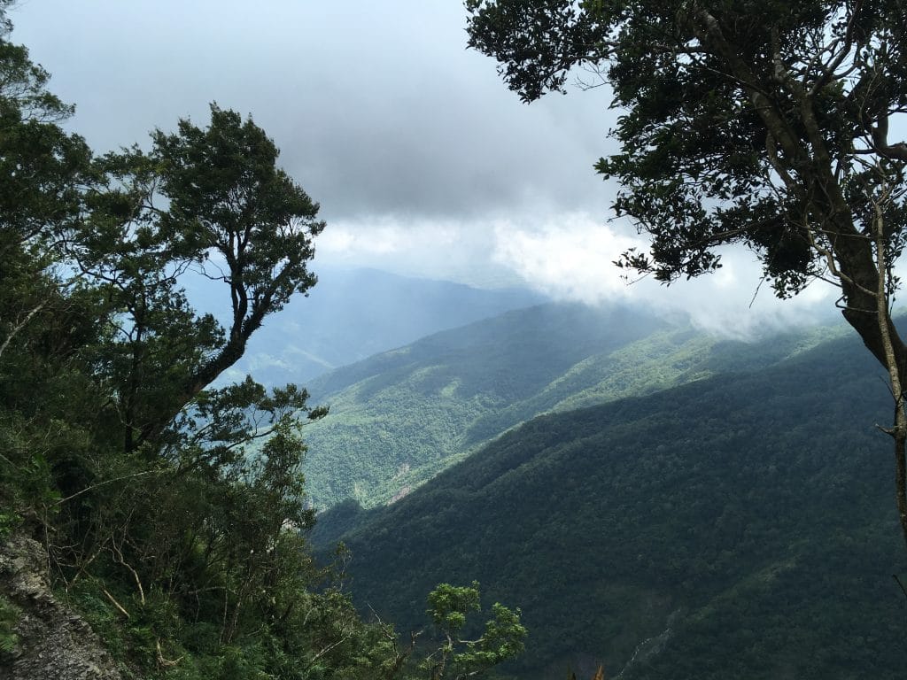
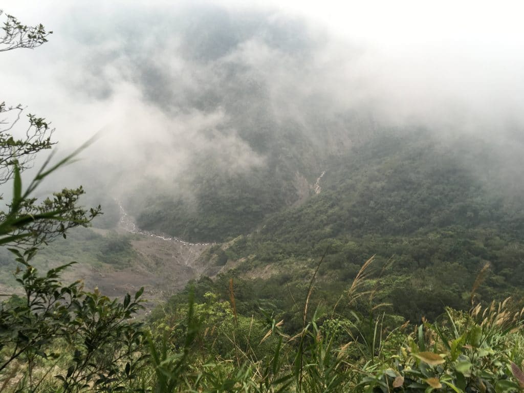
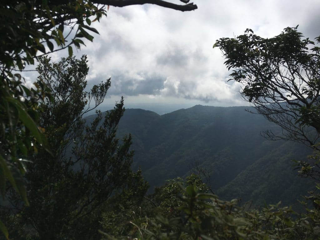
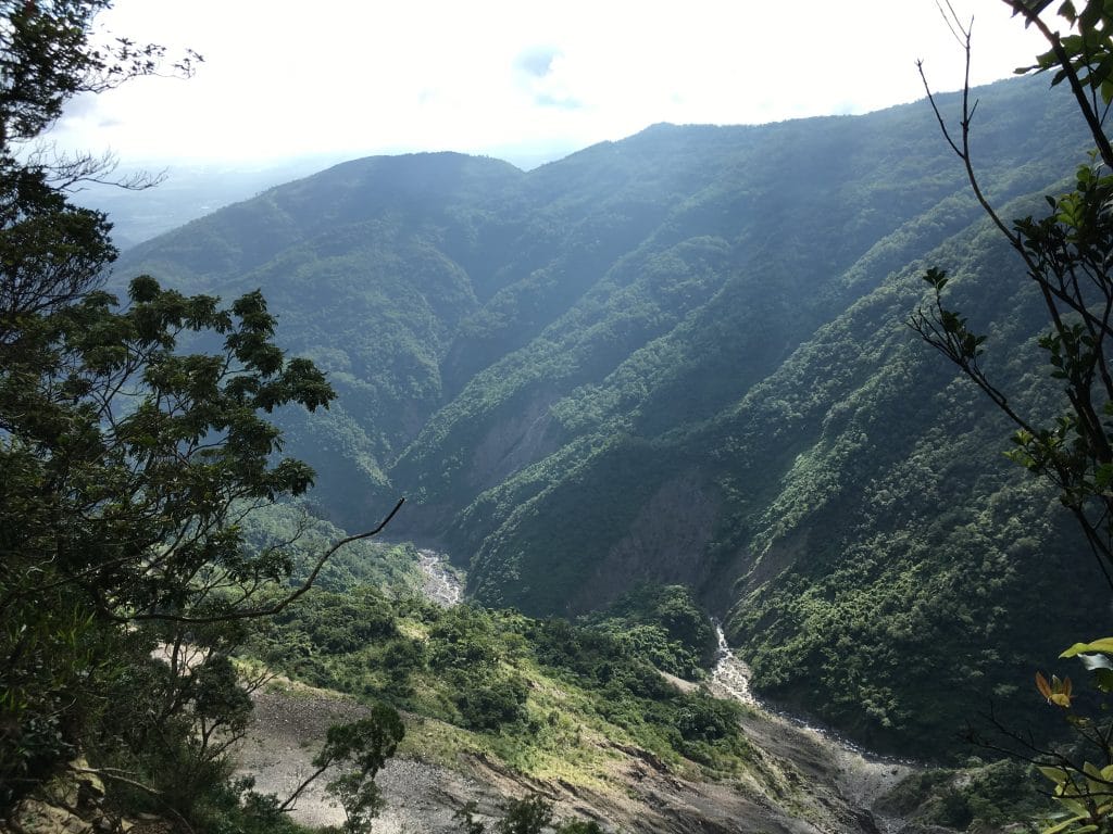
Roughly halfway between the crossroads and the peak at the top of one of the various little landslides along the way gives probably the best view from this part of the hike. Unfortunately for me the weather wasn’t cooperating. Though I did manage to get one decent shot.
Not long after this picture the clouds rolled in again…this time bringing some stronger winds.
It was 3 o’clock at that point and I knew I wouldn’t make it back to my bike by dark. I was really close now to the peak and not about to turn around. So I pushed on.
In a couple places I found evidence of the native people who used to live here. I’m not sure what these structures used to be, but by the way the rocks were stacked, they were definitely built by people.

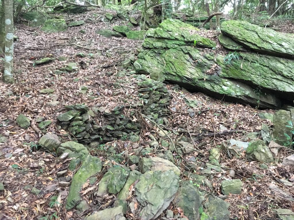
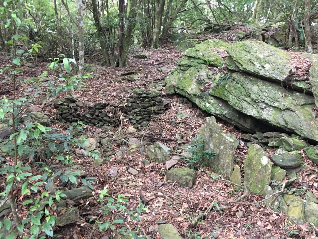
Those flat stones placed upright in the last picture…I’ve seen stones like that in the center of old structures before. One day I hope to learn what they mean.
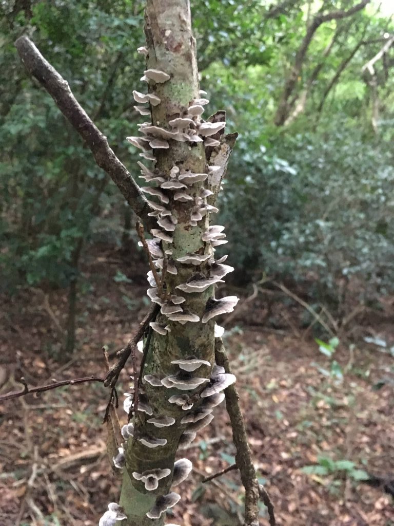
There wasn’t a lot else to see really. So here is a mushroom-covered dead tree. 🙂
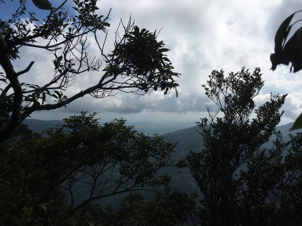
I was really close to the peak and just before getting there I was offered another decent view. Though seconds after I snapped the first picture, clouds quickly covered it.
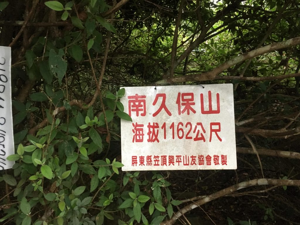
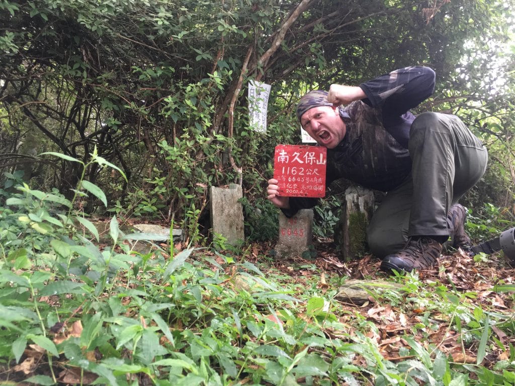
The peak!
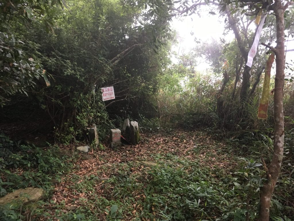
You can get a decent view if you walk off to the side a bit. You can see where people have walked out into the tall grass. I would have walked out further but didn’t want to push my luck. It wasn’t easy to tell how far you could go until the floor drops off.
I rested a good 30 or 40 minutes before heading back. It looked like there might have been a trail that continued down the ridge. At the bottom of the ridge is some farmland, so it’s possible. Though I really doubt many, if any, people use it.
I found this nailed to a tree on this possible trail.
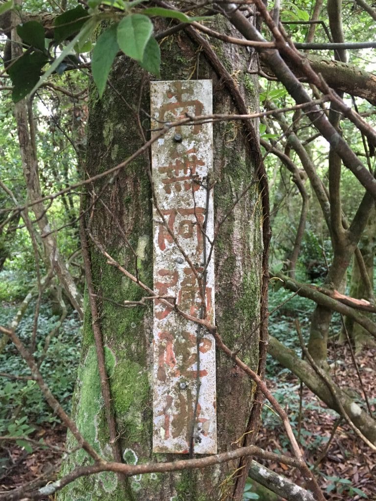
I’m told it’s some kind of Buddhist prayer. “南無阿彌陀佛”
The way back was more difficult because I was tired and it was mostly uphill. At some point it started to rain. I was fortunate because it only lasted 10 or 15 minutes. Once the weather cleared a little, I got some better views.
A couple hours later it was getting dark.
It was completely black a little after I made it back to the crossroads. All the clouds eventually passed and I got a great view of the stars. It almost made up for my hour and a half night hike on the worst part of the trail. As mentioned earlier, this was the hardest part of my hike.
I’ve always pushed myself to make it back before dark. Or at the very least, make it to a well trodden part of the trail by dark. This though was the worst conditions I’ve hiked after dark. Surprisingly it wasn’t as bad as I thought it would be. As long as you have enough light and take things slow and carefully, you’ll be good. Honestly, I’d do it again if needed.
I made it back to my bike about 8:30pm, changed clothes and rode my way down the mountain – which by the way was no easy task! Wet, nasty trail and me wet and tired. Getting back on pavement was nice and around the other side of the mountain I could see a lot of southern Taiwan by night. iPhone’s aren’t great in the dark, but hopefully this gives you some idea.
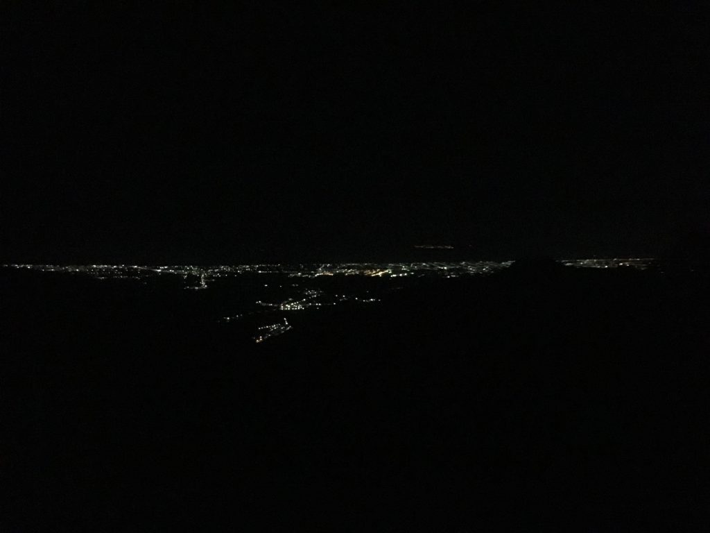
If you look towards the top, slightly right of center you can see Xiaoliuqiu island.
And as a parting gift from the mountains, I found three of these in my washing machine the next day.
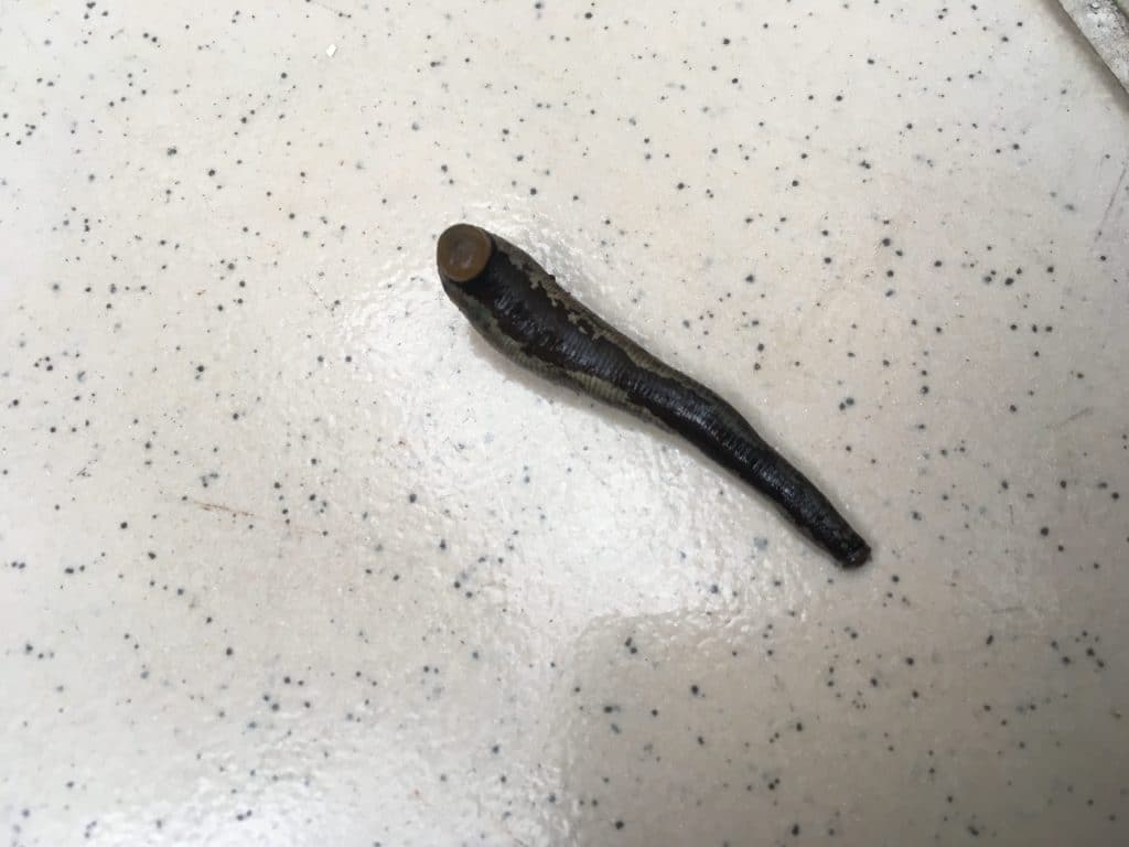
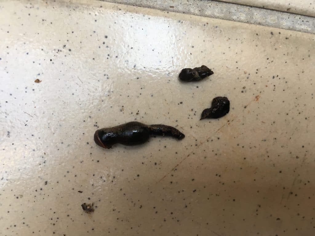
Land leeches! This was a first for me. Explains why my legs were bleeding when I changed my clothes after the hike. If the ground is wet, be looking for these little guys.
Date Hiked: 03 August 2018
GPX Track Download Instructions: Click the track on the map to see the download link


![[Valid RSS]](https://outrecording.b-cdn.net/wp-content/uploads/2020/03/valid-rss-rogers.png.webp)
2 Comments