The hike to LiAYanShan – 里阿岩山 was one of the best hikes I’ve had in a while. I enjoyed it a lot. It had most of features I like in a hike.
- It’s a lesser-known/hiked peak
- Has a long (mostly offroad) scenic drive to the trail head
- A “pre hike” to get to the trail head
- Camping overnight w/campfire
- Hiking downhill to begin (SO much better than a steep climb to start)
- Landslides and dangerous sections
- Riverbed and small mountain stream
- Some bushwhacking
- Perfect weather
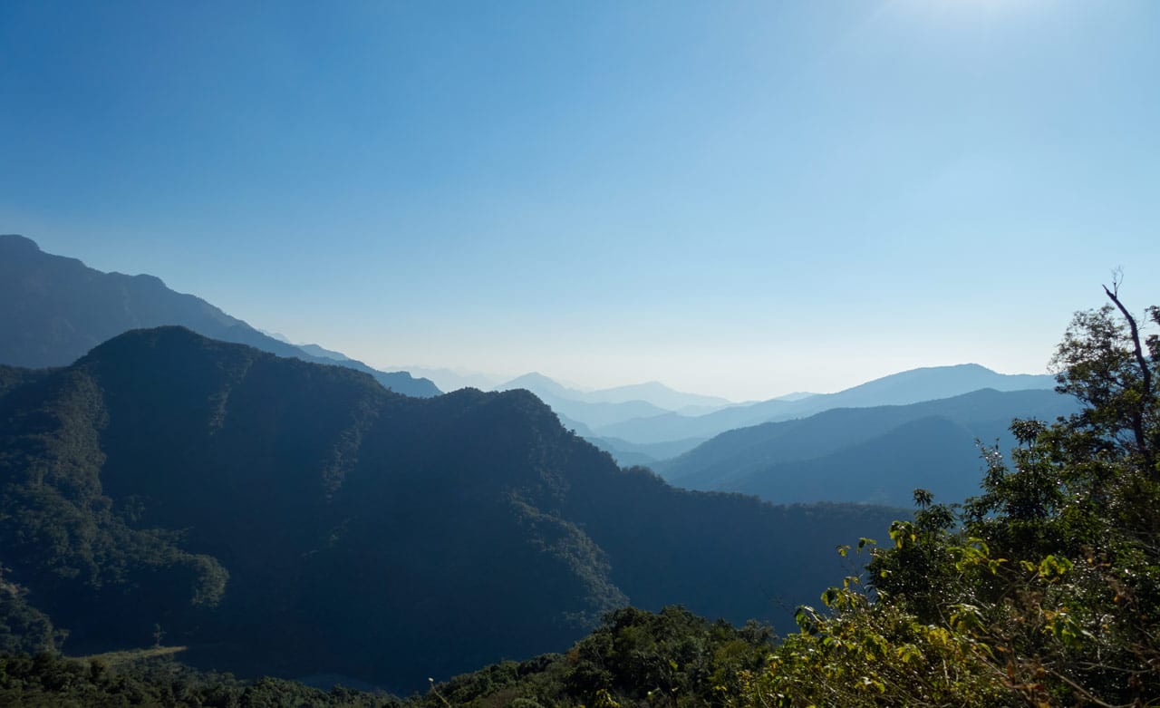
- Plenty of fantastic views all throughout the hike!
I’ll say right off the bat that it’s not for everyone. Getting to the trail head will take you a lot more time than it did for me if you don’t have an offroad-capable motorcycle. And the dangers involved getting to the peak isn’t for the casual hiker. If you don’t have a good deal of hiking experience in Taiwan, then I suggest that you look for another hike.
The Problem
The problem with this hike is simply getting to the trail head. It’s not difficult in that there’s more or less an easy to follow road/trail to get there. But not everyone will have the ideal means of transportation (offroad capable motorcycle) or the skills needed to safely navigate the trail on said motorcycle. There are a couple spots that could send you down the mountain if you’re not careful.
With that in mind, here’s how it looks.
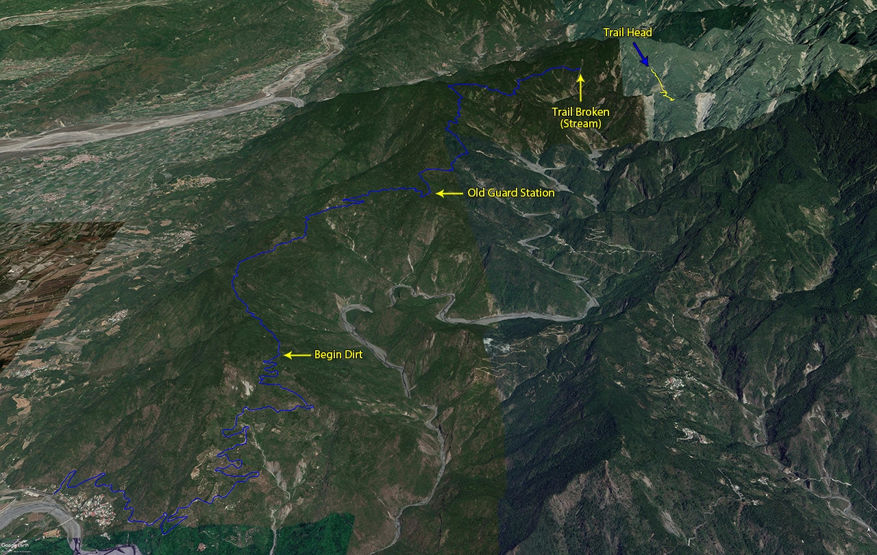
Starting at the village at the bottom left of the map, you’ll drive up a mostly concrete road. A scooter, car, motorcycle, etc can safely navigate this section. There’s a bit of dirt towards the end, but you can do it! I’ve seen a normal car drive much further up; nearly to the old guard station.
Once you reach the ridge, the road turns to dirt for most of the way until you get closer to the old guard station. A car or scooter will have to drive slower here, but it’s totally doable. However, once you reach the old guard station, things become a little hairier.
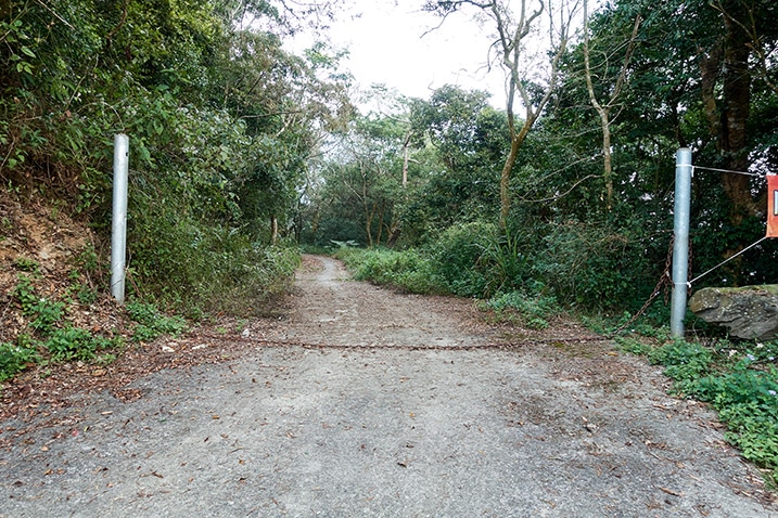
You can drive beyond this point with a car no problem but it gets rougher in spots and when the road finally decides to give way to single track, you’ll be stuck backing up looking for a place to park/turn around. If you’re the type to always play it safe, then park here. But be warned, you’ll have an 11.2 kilometer hike to the trail head! In general, I would say it’s probably OK to drive a car past this point.
But be warned! On my drive that day I ran into this.
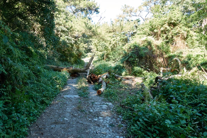
Someone had built a path to the right of the fallen tree for motorcycles to get by, but a car would have no chance here. I’m sure that tree has been cleared by now, but a fallen tree is a possibility anywhere on this road.
BTW, this entire road is named the Shaxi Lindau – 沙溪林道
If an 11.2 kilometer hike is not for you then you can keep driving and should at the very least be able to safely cut 6.4 kilometers off that distance. That’s the approximate distance to the WeiLiaoShan back trail head.
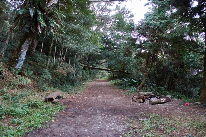
There is plenty of space to park there. If you’re adventurous and want to try driving further then you can cut a bit of the remaining 4.8 kilometers, but I honestly would recommend not doing it unless you have a 4×4 high chassis vehicle.
Other Modes of Transportation
The above was just for four-wheeled vehicles. For two-wheeled vehicles, keep going until you feel uncomfortable with the terrain. Best case, you’ll make it as far as the spot marked “Trail Broken (Stream)” on the above map. It will look something like this. Perhaps a bit worse.
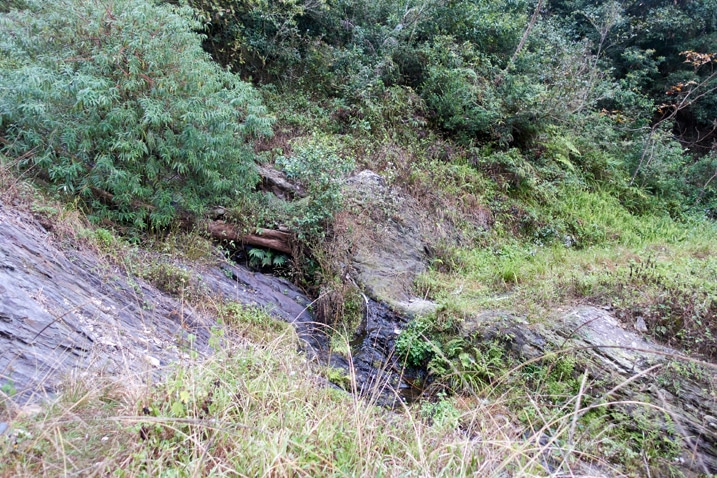
It used to look like the below picture years ago. It appears that the government used to shore up this section of road but has since stopped.
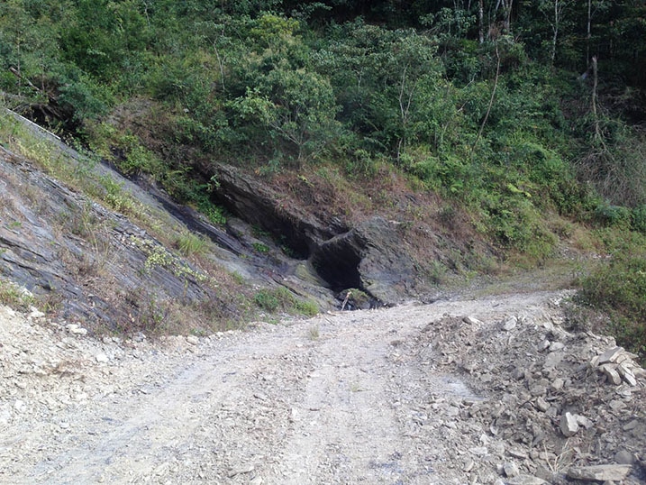
If you have someone with you, there’s a good chance you can push your scooter/motorcycle up the other side. I’ve been told that there were some boards placed there at one point to help drive up. Either way, getting to the other side will save you some more time; the trail is in decent shape for maybe another kilometer. But eventually you’ll run into the end of the line.
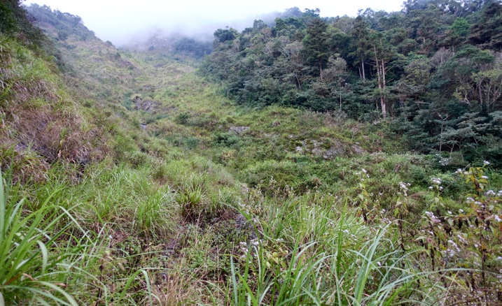
On a side note, not long after the broken stream you can find an old abandoned structure just down from the road on the right side. I believe it could be an abandoned forestry bureau workstation. It’s easy to miss though.
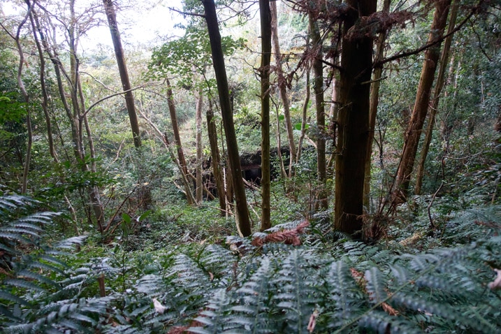
There’s an overgrown road 50 meters or so back the way you came if you want to see it up close. Or you can find a way down from here. It’s a fun place to explore if you’re into abandoned buildings.
Hike to Trail Head & Fantastic Views
It took me near an hour to hike from the broken stream to the trail head. I stopped for plenty of pictures though. You can probably make it in forty-five minutes give or take.
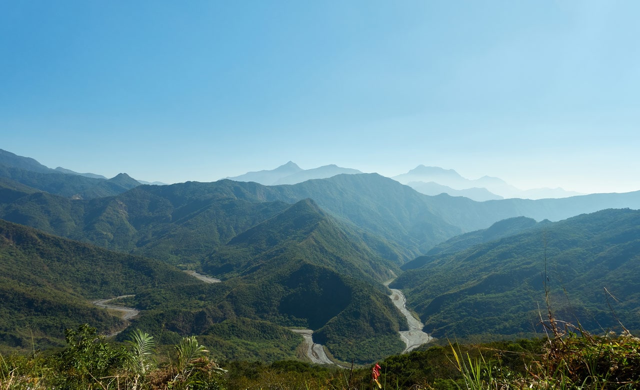
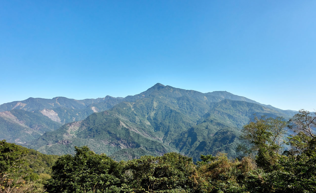
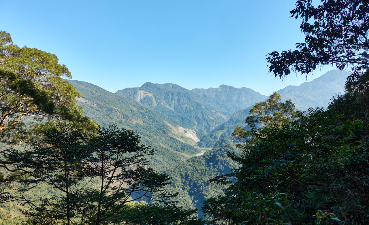
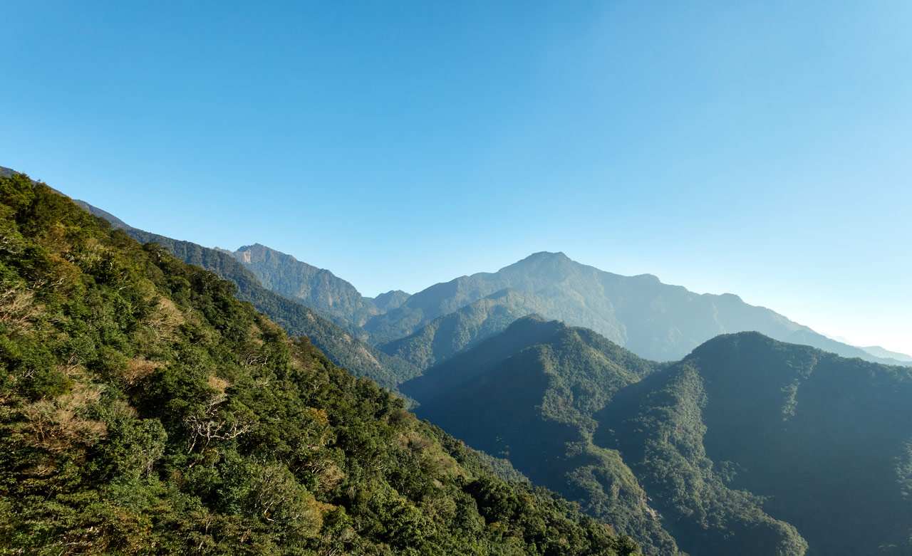
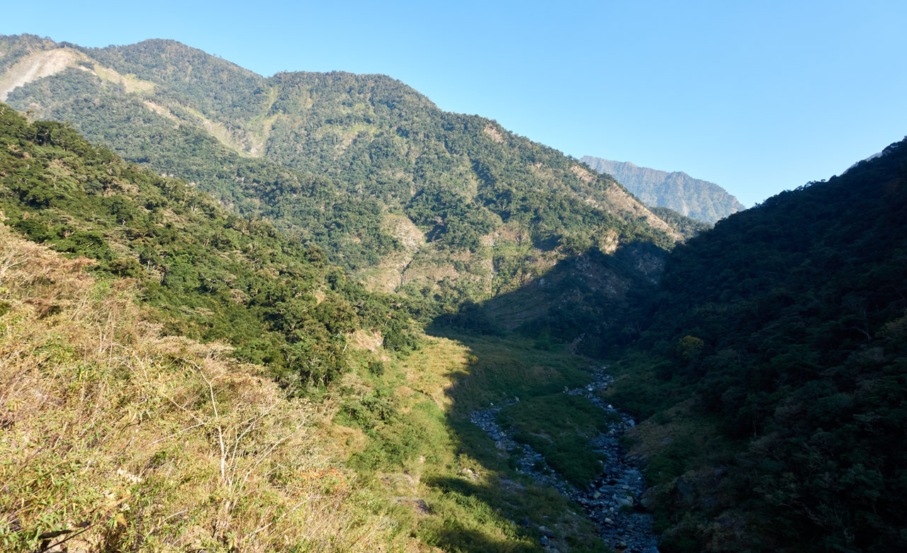
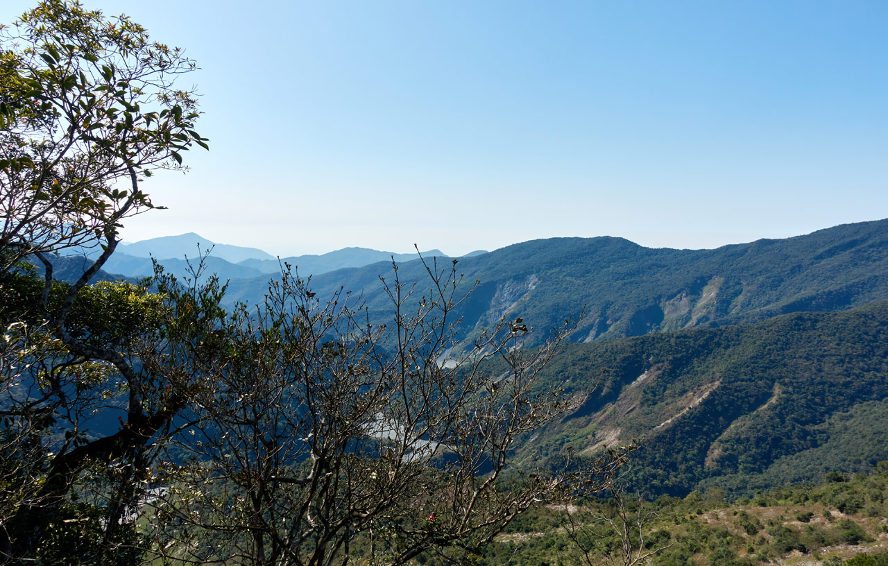
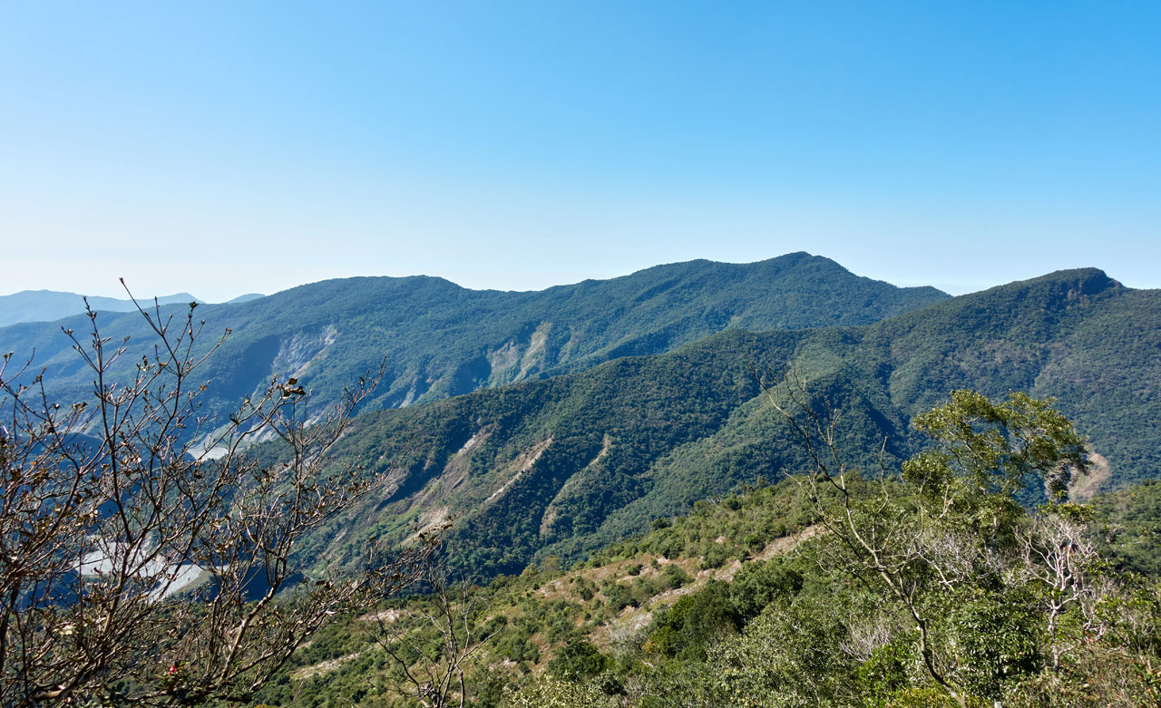
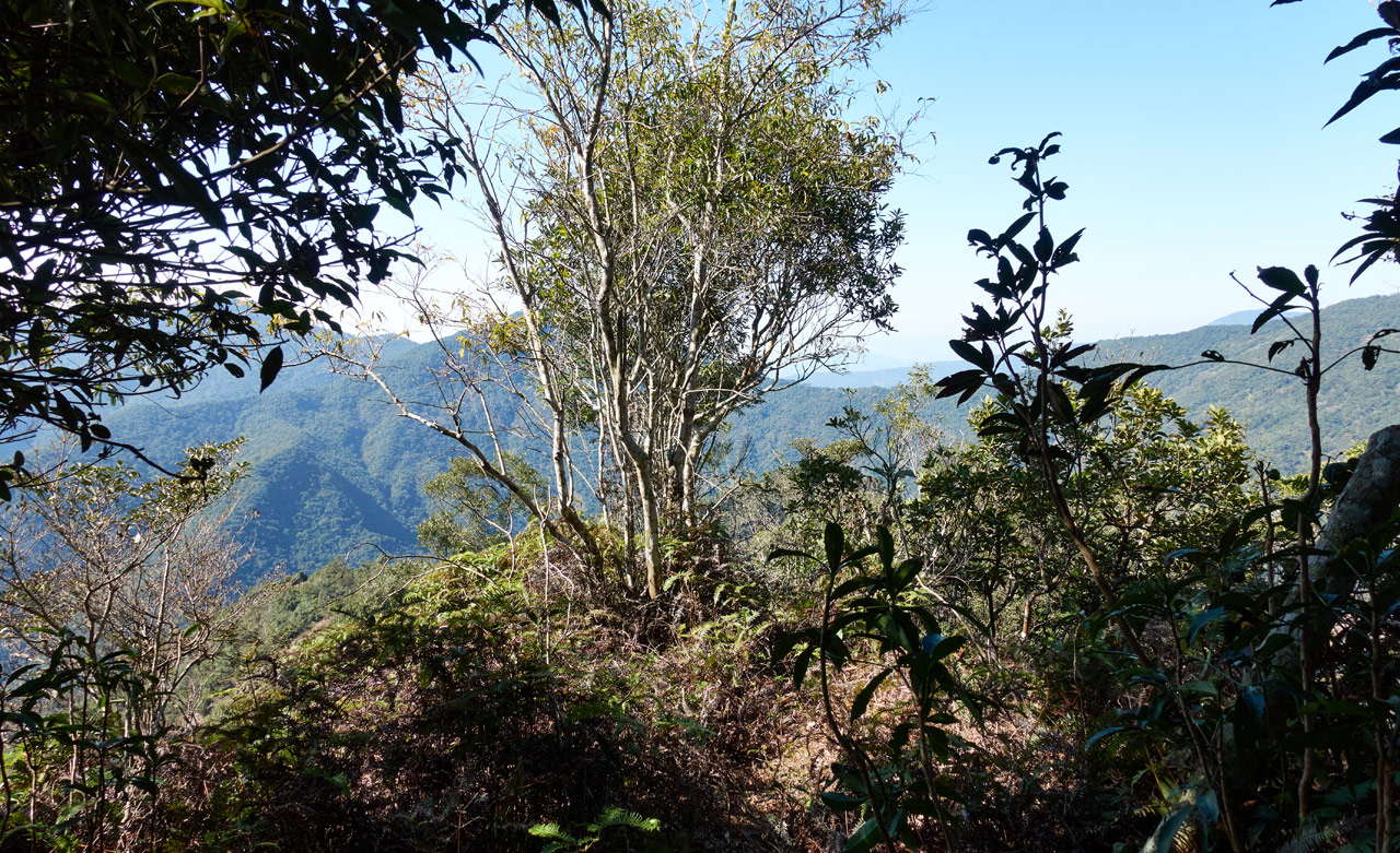
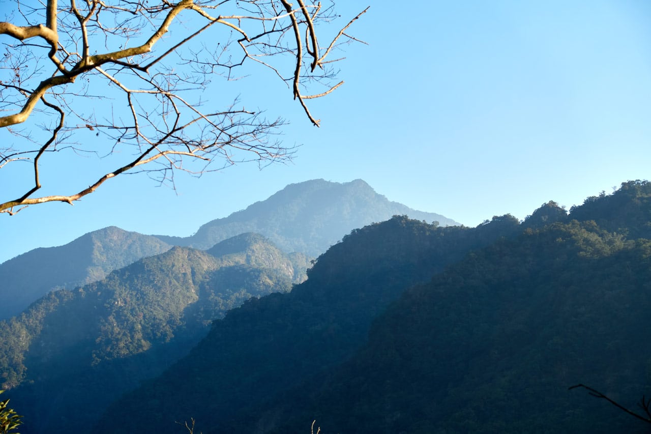
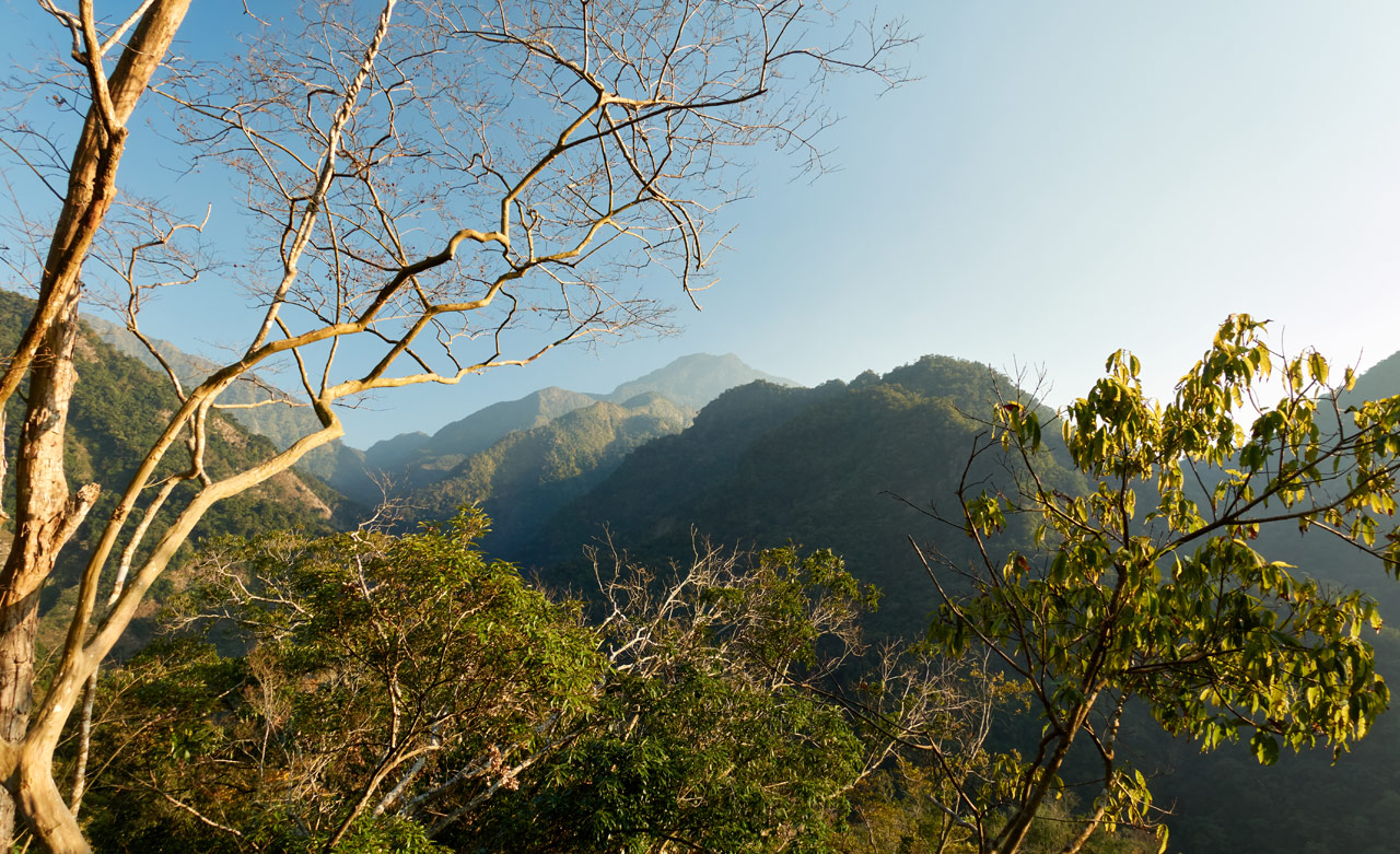
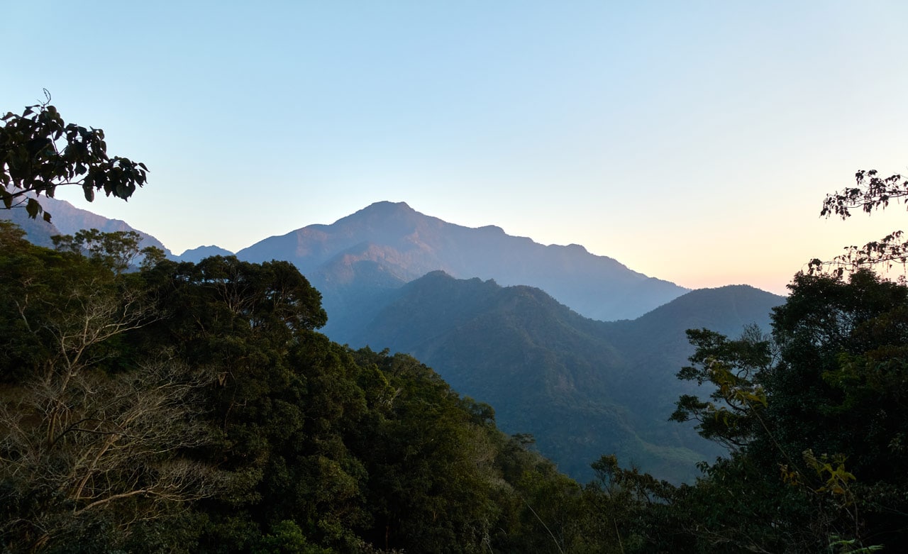
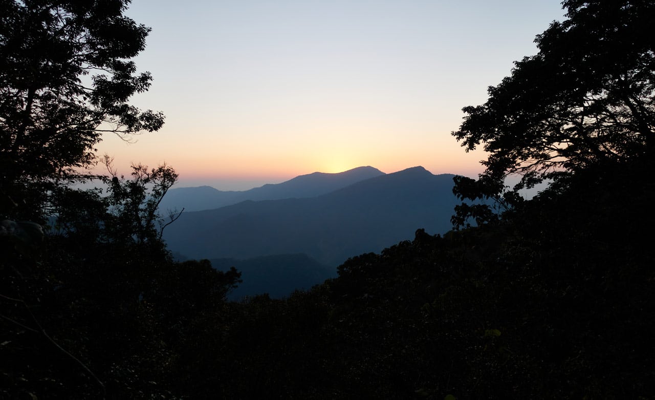
Speaking of pictures, since I mentioned “fantastic views” in my opening, let me take some space to show you some of them. These would be from various spots along the road/trail once you reach the ridge. Click any of them for a larger view.
And if you’re lucky, you might see a Swinhoe’s pheasant or a squirrel.
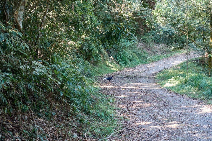
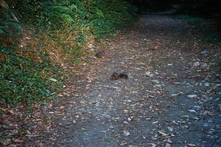
I saw these squirrels on my first trip out there. Yeah, I tried hiking it the first time as a day hike, but failed. It was tougher than I had thought it would be, plus the weather turned for the worse. Here’s a little glimpse of it:
Getting back to the “pre hike”, it’s not difficult and something you can do at a leisurely pace.
Since it used to be a road, you can literally see some signs of civilization.
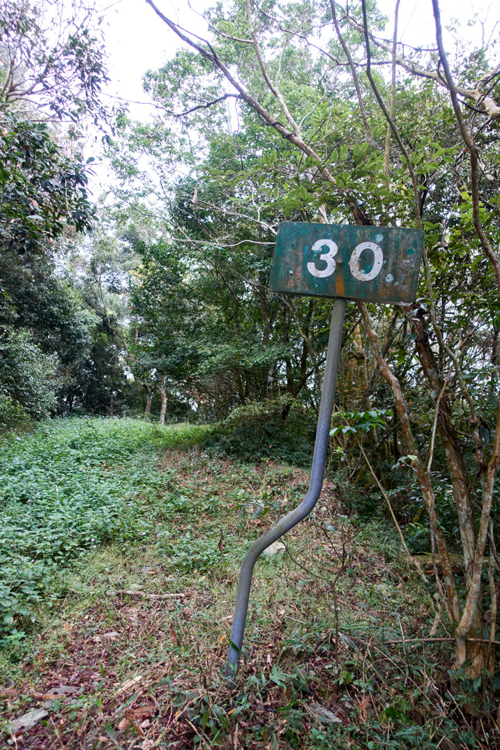
But it mostly looks like this…
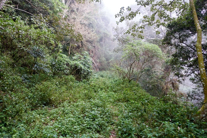
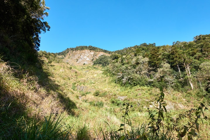
And yes, I’m mixing pictures from the two hikes. One was a bright sunny day, the other a foggy mess. Fortunately for me, the day I chose to camp overnight at the trail head was the bright and sunny day.
Campsite, Campfire, and Unexpected Visitors
I arrived at the trail head with plenty of time to set up. The spot is on a corner where the road turns, so there was a lot of room to camp. Though I had to do a bit of maintenance work to make it suitable for my tent.
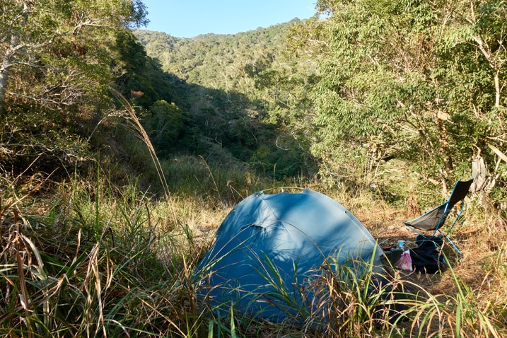
I was happy with the location. Can’t complain at all.
After setting up the tent and organizing my gear, I got to collecting wood for a fire. I wasn’t expecting it to get TOO cold that night, but I wasn’t sure how low the temperature would get and figured, why not? I’m camping. Make a damn fire! (also, it was the middle of January and I was at 1200+ meters elevation)
That was probably a good call because it got down to 8 Celsius by 8:30pm according to my watch.
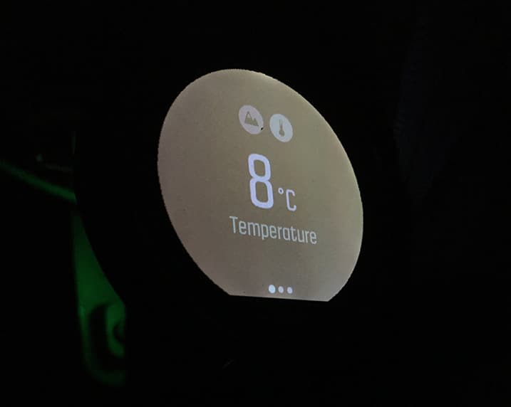
A campfire felt good right around then. I can tell you that much.
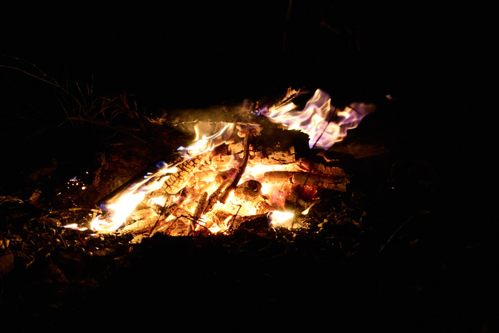
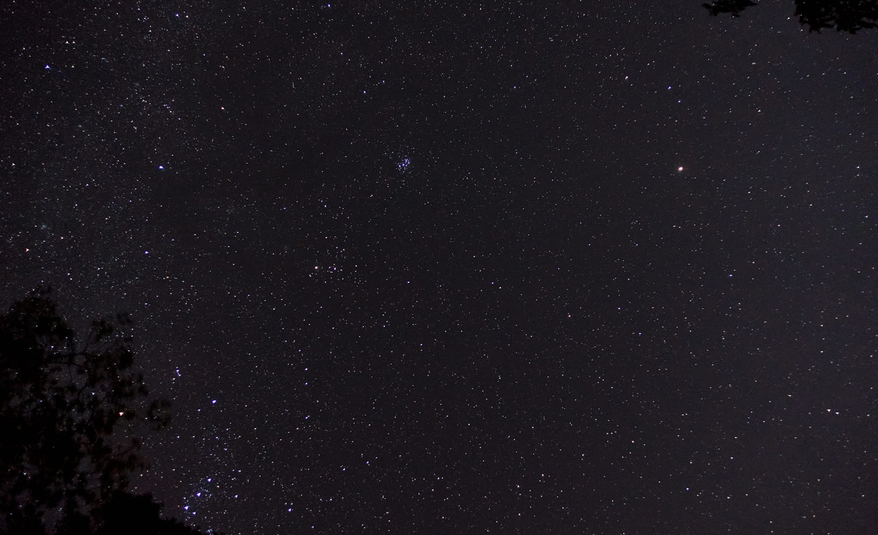
Plus it gave me something to do. Play around with long exposures!
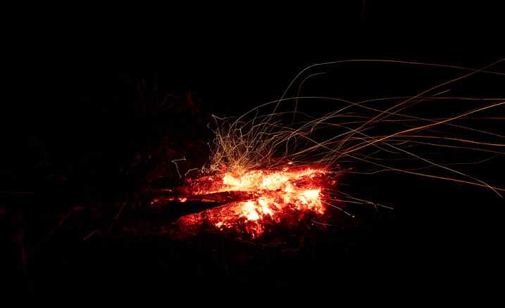
There’s nothing interesting about those stars, but thought I’d include it. I didn’t have anything to do and I was there alone all night…
Until I wasn’t.
As I sat there tending to the fire, I spied lights coming my way! Three headlamps. Considering the time of night, I guessed they must be hunters; hikers wouldn’t arrive this late. My suspicion was confirmed when I saw rifles slung over their shoulders.
Back home I might be worried about a late-night encounter in the mountains by myself. But I didn’t feel that way, nor have I ever felt like that here in Taiwan, but I still pulled my machete close just in case. You never know, right?
But no, they weren’t a threat. At least not to me. They were Paiwan hunters. Three of them. We talked a bit about the usual stuff – why I’m there, where I’m going, where I’m from, etc. One mentioned that I didn’t need a fire as it wasn’t cold. Well yeaaaaah…you guys just hiked here. I’ve been sitting in a chair hardly moving for over an hour. hahaha
They sat for a bit and we exchanged food/drinks. (I had beer) And without a word to me, they got up and left, leaving this bag behind.
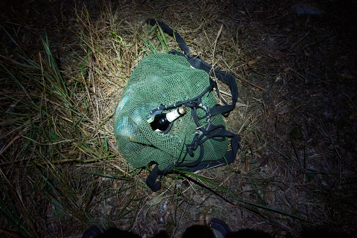
I wanted to ask for their picture, but wasn’t sure how they would react. Maybe what they were doing was illegal. Maybe not. I didn’t want to ask.
About ten minutes after they left I saw them on the other side of the valley, their headlamps betraying their location. They continued up and out of sight beyond the next ridge. Another five minutes or so later they must have seen the muntjac I had been hearing from that direction since nightfall.
They came back later empty handed and retrieved their bag and went back the way they came. I didn’t hear a rifle shot the rest of the night. It wasn’t much longer after they left that I went to bed.
The Next Morning – Let’s Hike!
I started the hike at six thirty in the morning. That gave me plenty of time to reach LiAYanShan. I also had the advantage of hiking this section a couple weeks prior, so that would speed things up.
As mentioned earlier, the beginning of the hike is all downhill! Here’s the start of it.
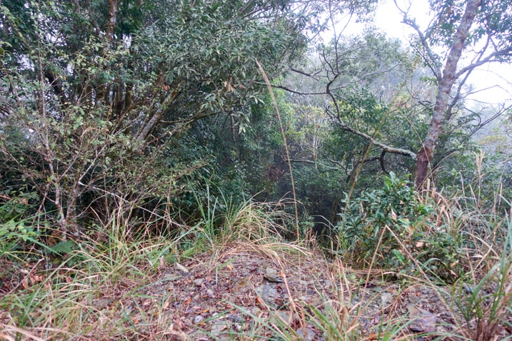
The first half of this section until you get to the river is just like the pictures below.
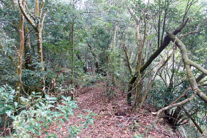
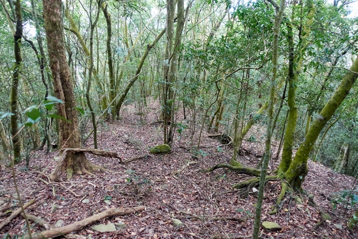
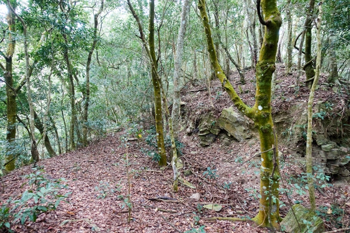
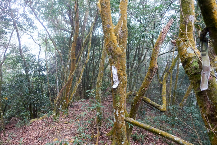
You can still find some old trail ribbons, despite this not being a popular trail.
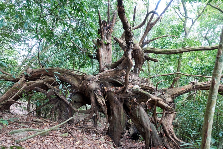
And this tree? I don’t know, it just looks cool and I wanted to include it.
Somewhere along the way I saw this hornet’s nest way up in a tree.
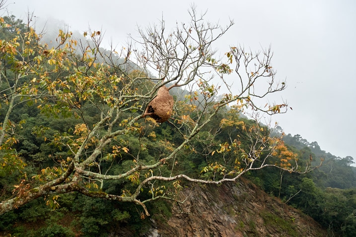
I saw it from pretty far away which made me think it must have been large. When I got close to it (picture is zoomed) it seemed really large. That picture doesn’t do it justice. I’d say I couldn’t get my arms around it. That large.
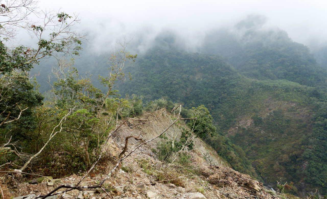
Almost halfway down is where the ridge begins to change. It gets steeper in places…
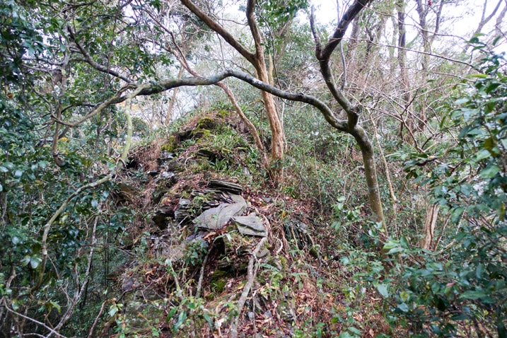
And then you get to see the beginnings of major erosion.
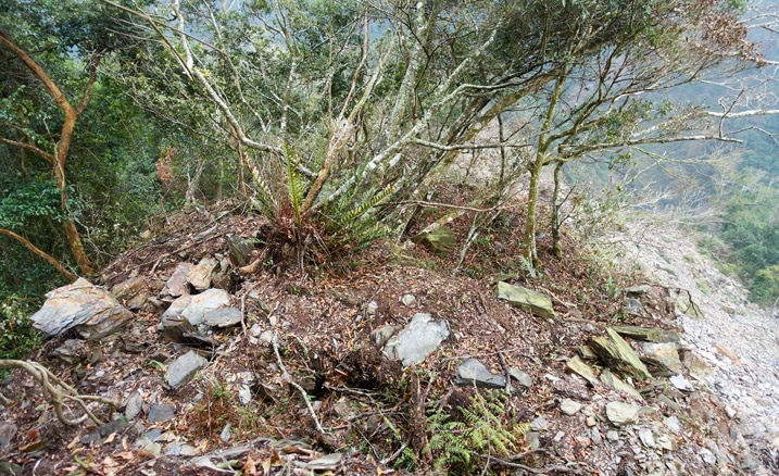
Exposed Ridge
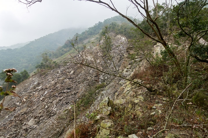
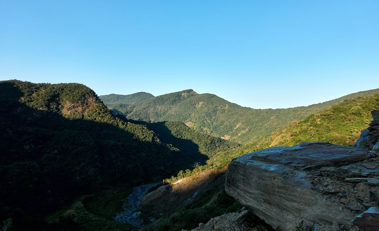
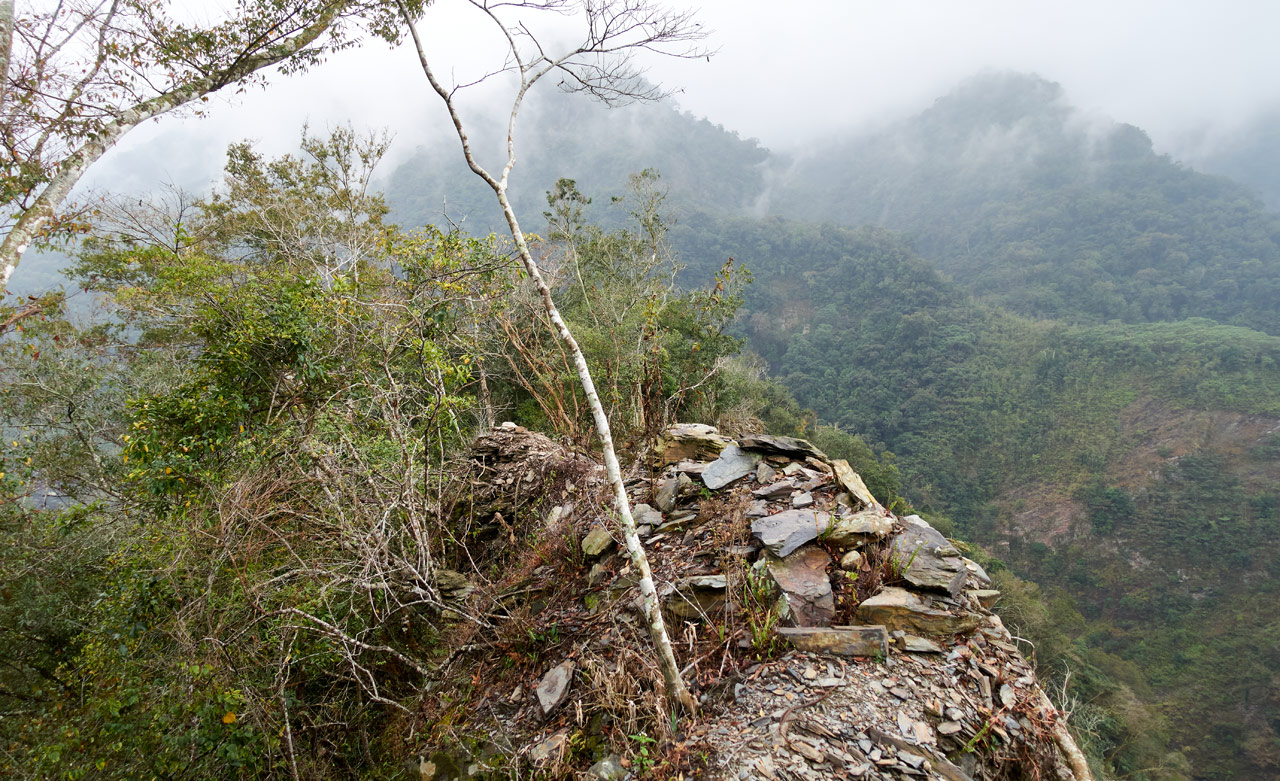
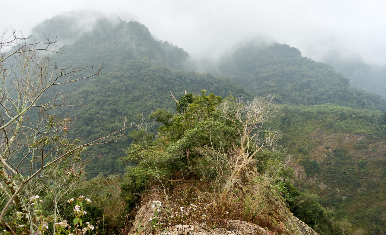
This part of the ridge is seeing its final days. Several trees at the top appear to be all that’s holding it together. Another major typhoon or two is probably all it will take to finish the job. The silver lining of its inevitable demise is that it has opened an unobstructed view of the surrounding area for anyone who has made it this far.
I believe the furthest mountain in the above picture is WeiLiaoShan – 尾寮山. It doesn’t look like much from here…or from any direction for that matter. But there it is.
From here the trail disappears and turns into a landslide.
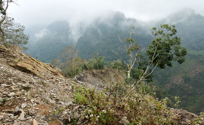
It doesn’t look like much from that angle. So let me show you the opposite angle.
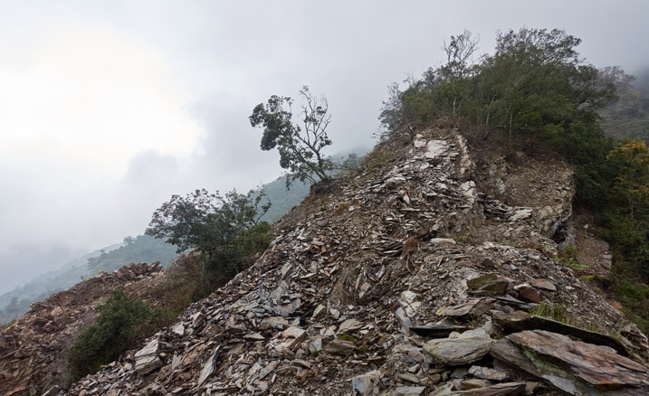
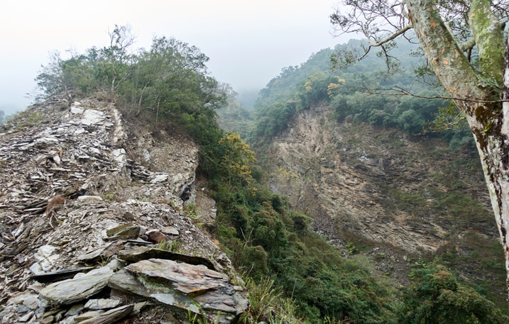
So I went down that…or kinda “slid” down and got to this little sliver of ridge.
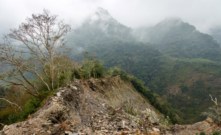
The first trip I unwisely chose to walk the ridge. I wouldn’t recommend it. I mean, LOOK at that.
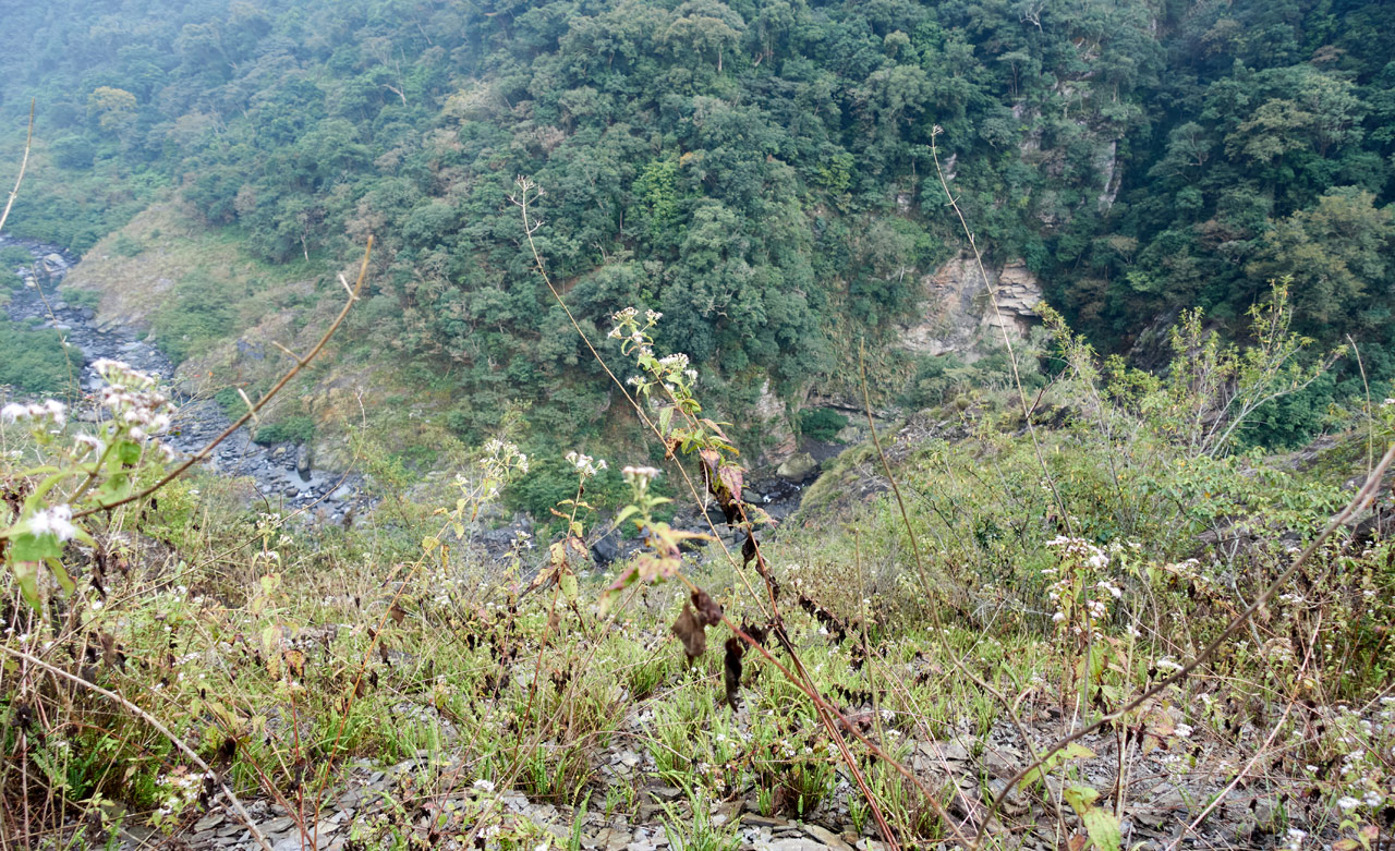
And look over the side while you’re at it. Not much room for error.
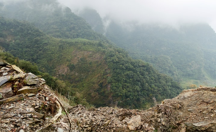
The second trip I wisely chose to hike down to the right of the ridge. There’s a trail from whatever animal that lives around there. It’s safer and quicker. After a little ways you can clearly see a path back up to the ridge. And before long, you’re back in the trees again!
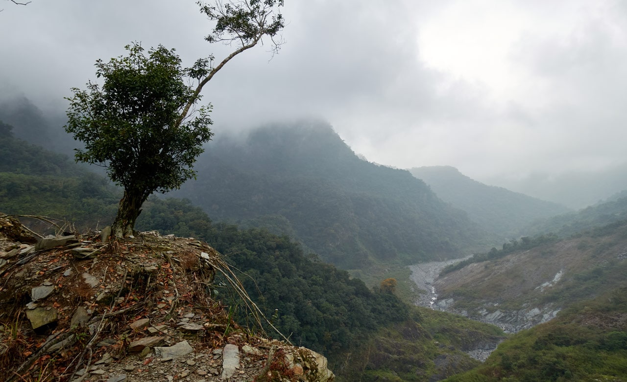
But do stop and take a picture of this lone tree. Maybe say hi while you’re at it. It looks mighty lonely.
Once you’re safely in the trees again, take a look back at what you have just crossed.
Rock Hopping Steep Drops
The next section of trees is much like the beginning of the hike…
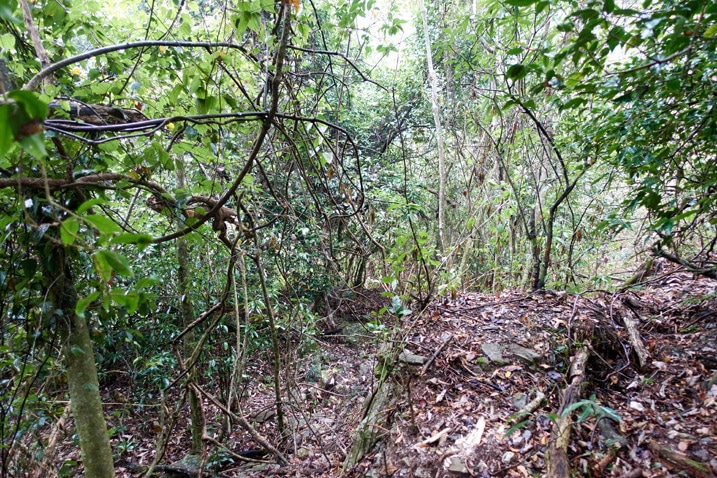
…but only lasted about fifteen minutes. Then comes a bit of a bad surprise. Bad if you’re not expecting it.
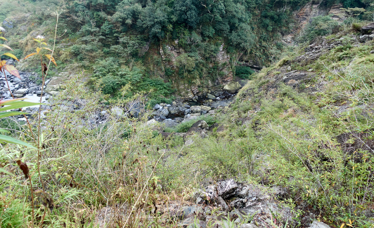
The first time I came through here I thought to myself, “Well, shit. I’m supposed to cross that river RIGHT DOWN THERE. But how in the hell am I supposed to get down there!?” I had a GPX track that clearly proved someone made it down this mess. But I couldn’t figure out HOW they did it. If I followed their path I would surely die. It didn’t make sense. Best I can figure is there has been more landslides since they were here.
So I used their path as a rough guide and made my own way down. It wasn’t easy.
After what seemed forever hoping carefully from boulder to boulder, I made it down about halfway.
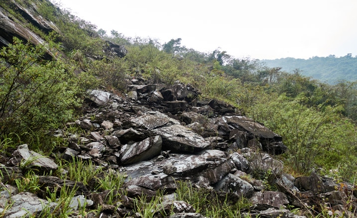
Those boulders don’t seem all that large in the picture, but some of them were. And being precariously stacked like that…well, it was worrying. Some of them would move when I put my weight on them.
This was as far as I had made it on my first trip.
It seemed like it was going to rain and I spent a bit too much time finding a route down that steep drop.
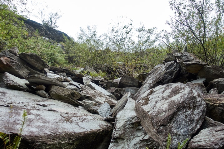
So that trip I stopped to take a few pics and headed back up.
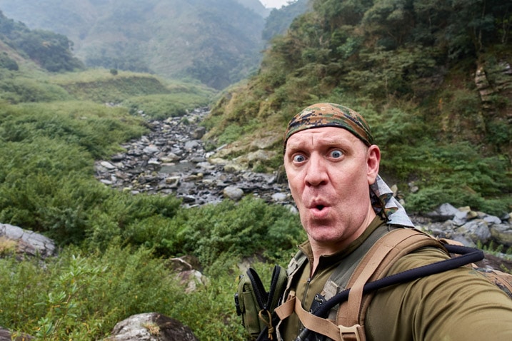
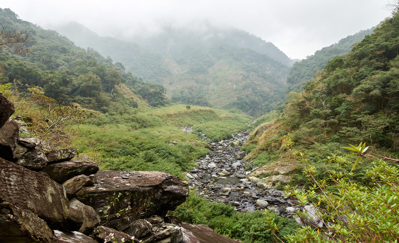
Here’s a less foggy picture from the second trip on my way back from the peak.
To the Riverbed
Ok, from here on out all the pictures and story will be from my second trip. No more mixing pictures and trying to remember what happened when. 🙂
My second attempt at going down this steep section went a lot smoother. Instead of following the GPX track of whoever that was, I figured out what would work best for me. I skipped a lot of the large boulders and instead slid a good ways down a smooth-ish landslide. It wasn’t long before I arrived roughly where I had stopped before.
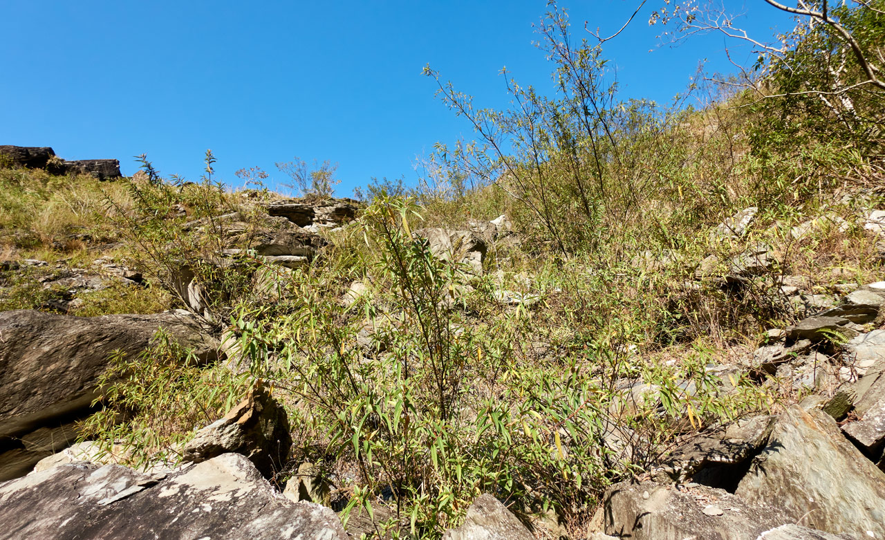
As I carefully climbed down, the boulders became larger. This made it easier in some ways and more difficult in others. But little by little I made it down and nearly to the riverbed. I was so close, but had one more obstacle. A huge swath of vegetation taller than me.
Machete in hand, I carved out a path until…I reached the riverbed!
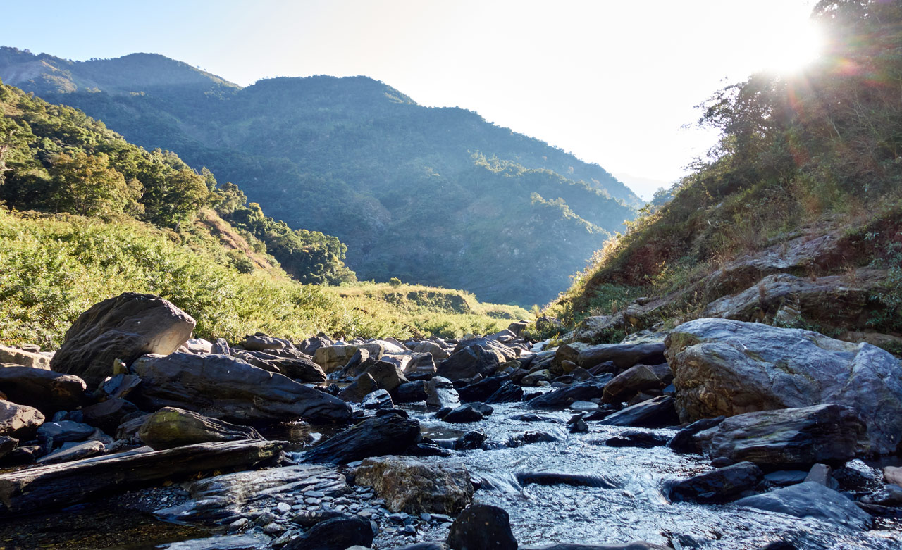
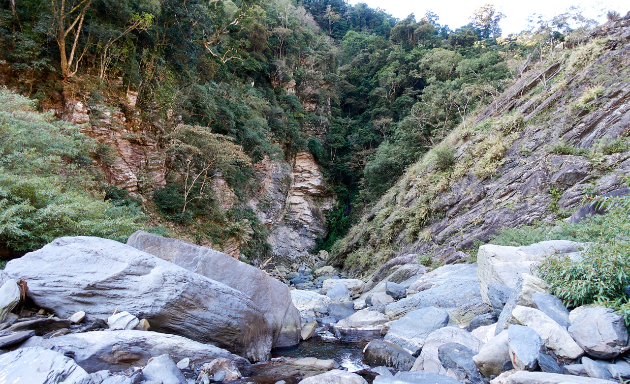
I could hear what sounded like a waterfall coming from downstream. If I ever go back I’d like to explore the riverbed more.
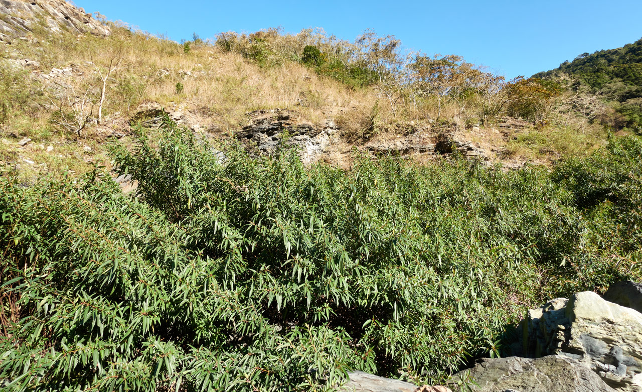
And those tall plants I mentioned. Here they are.
You might be able to see the path I cut. (click any of these pictures for a larger version) I’ve no doubt it will be gone the next time I go back. I’d have to guess that they’re a quick growing plant.
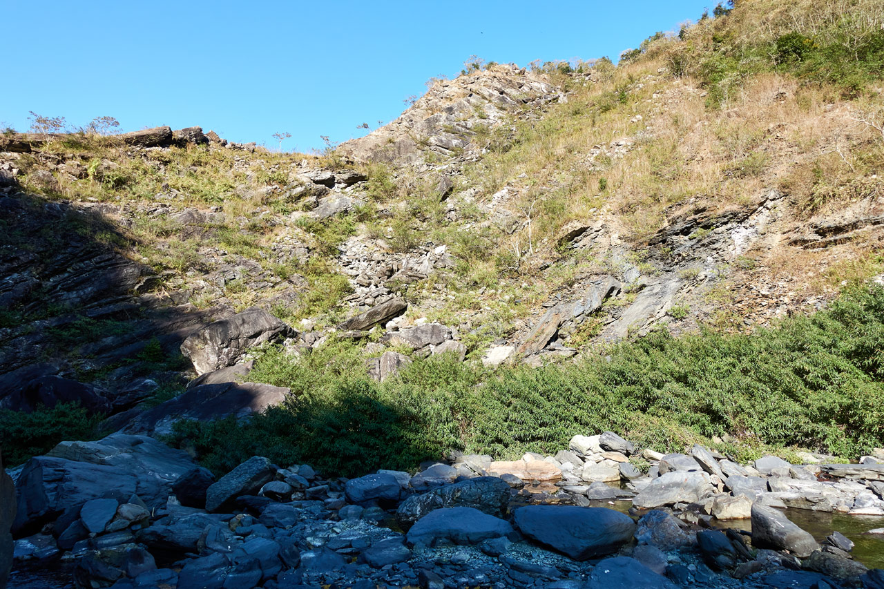
Here is what I had just come down…
This picture doesn’t capture the depth well. Looking at it now, it seems like it wouldn’t be all that difficult. Put that out of your mind if you do try this. This is not a safe section for the average hiker.
Riverbed Downtime
This is where I took a break to eat and refill my water.
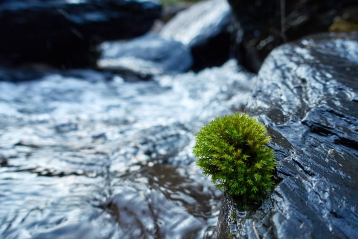
Below is a little video from when I first arrived.
I briefly explored the surrounding area for the trail head up the other side. There was no indication as to where it might be. I had the GPX track but it didn’t match up to anything that made sense. It wasn’t long though before I found what I thought must be the trail head.
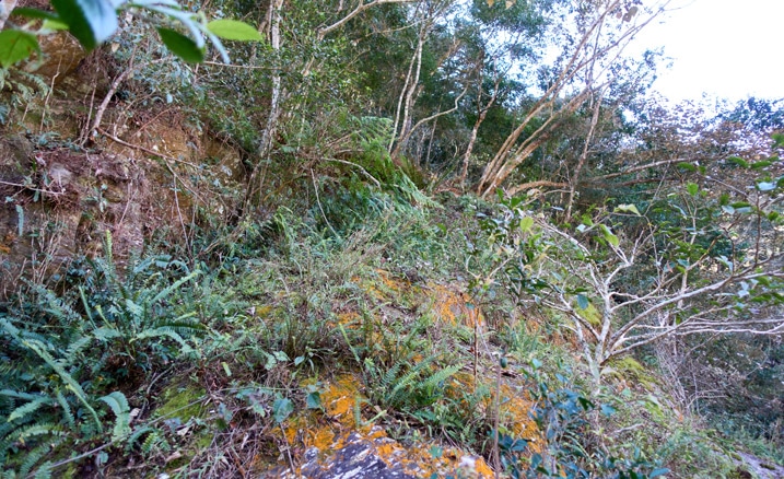
If this wasn’t it, then I would be creating a new trail head because there wasn’t any other way that I could see to safely climb up.
With that out of the way, I returned to get my gear and prepared everything for the next segment of the hike.
Into the Unknown
Here is where everything would be totally new to me. Would there be any trail ribbons to mark the way? Would there be a trail at all? Maybe a slim chance of a rope?
Well yeah! A slim rope!
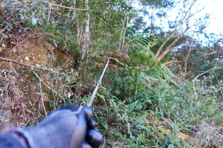
I found this hidden in the underbrush. It was old and thin, but still strong enough to help me up this little section.
Once I made my way up, I had to work around this bit of rock face. It’s hard to see it in this blob of a picture…
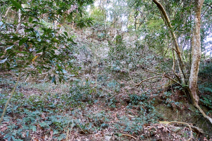
…but I took a video of it after a Formosan Serow scared the shit out of me.
They’re pretty good at standing above you, casually looking down in anticipation, and then screeching at the top of their lungs in an attempt to give you a heart attack. Assholes! That’s all I can say about them. (Nah, they’re cool. Just that asshole behavior I don’t like)
After the serow encounter, I must have taken a wrong turn somewhere. Because there was nothing resembling a trail and no real good path to follow. So I just went “up”.
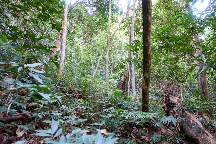
I knew from my research that I had a short distance to go before reaching a nice flat area where I could hike a good ways without that nagging uphill burn in my legs. But it seemed I would have to fight for every inch to get there.
And then I saw two things. One good and one…not so good.
As I reached up to grab a fallen branch to help pull me up, I looked up and what did I see ATTACHED to that branch???
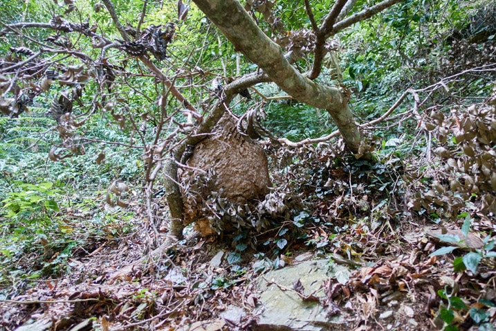
My heart skipped a beat. But then the thought, “It’s on the ground. They must have abandoned it. No need to worry”.
Well, if you look closely at the picture below, I was wrong.
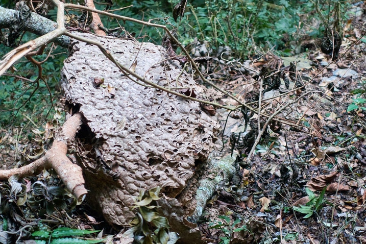
Fortunately for me, I didn’t disturb them.
And now to the good news. The nest was sitting on a trail!
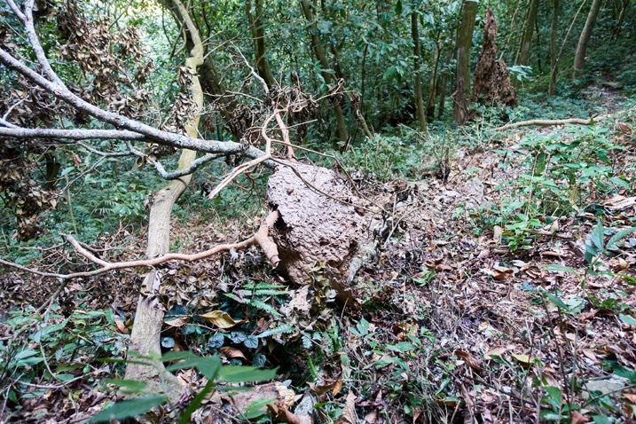
See the trail going from left to right?
This presented another small problem on my way down later that day. But giving it a wide berth wasn’t too difficult. So all was well.
Flat Land!
From the downed nest, it wasn’t a long hike to reach the large bit of flat land I mentioned earlier. And what do you know! Trail ribbons!
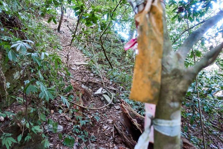
All the ribbons I found from here on out were pretty old and tattered. But they still remained useful – kind of like me at times.
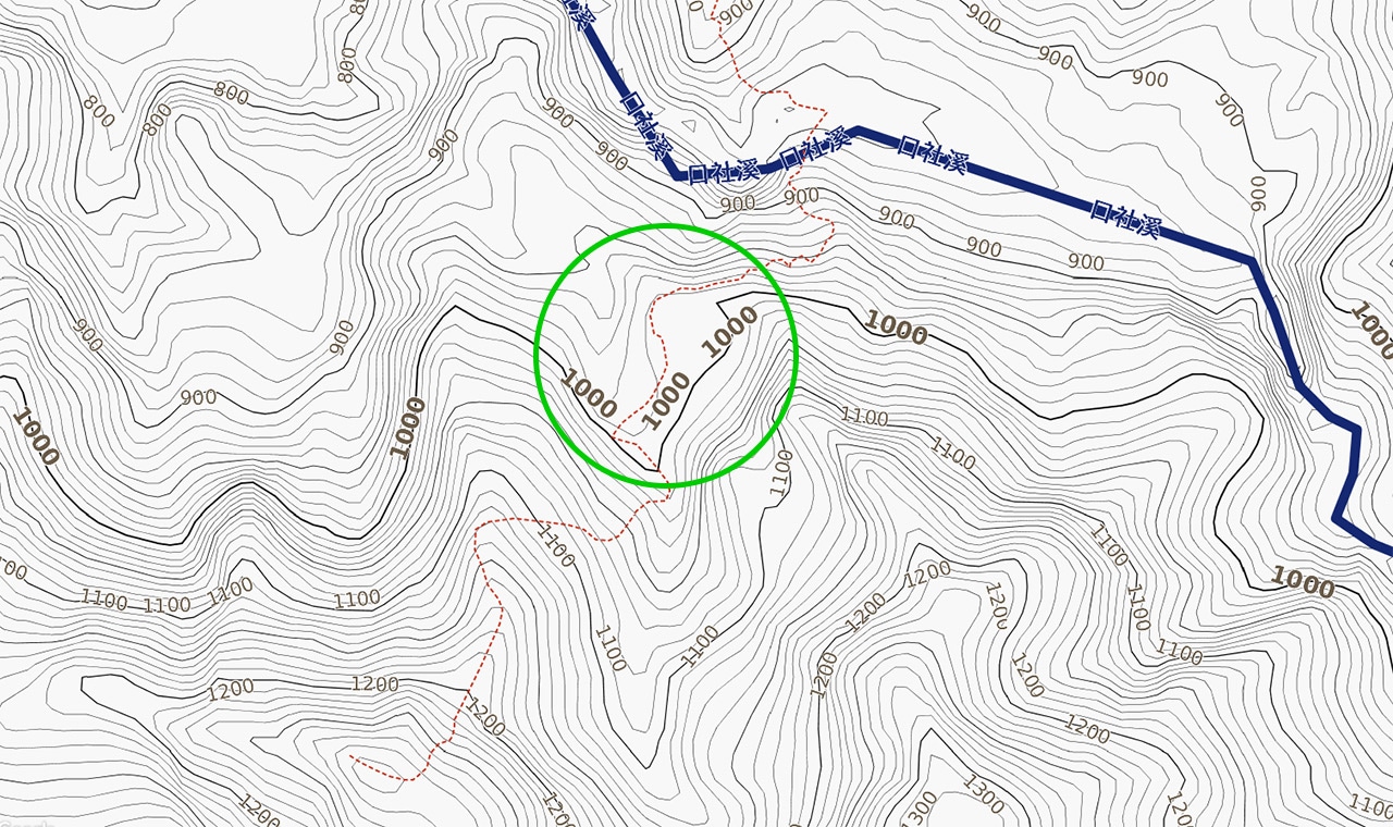
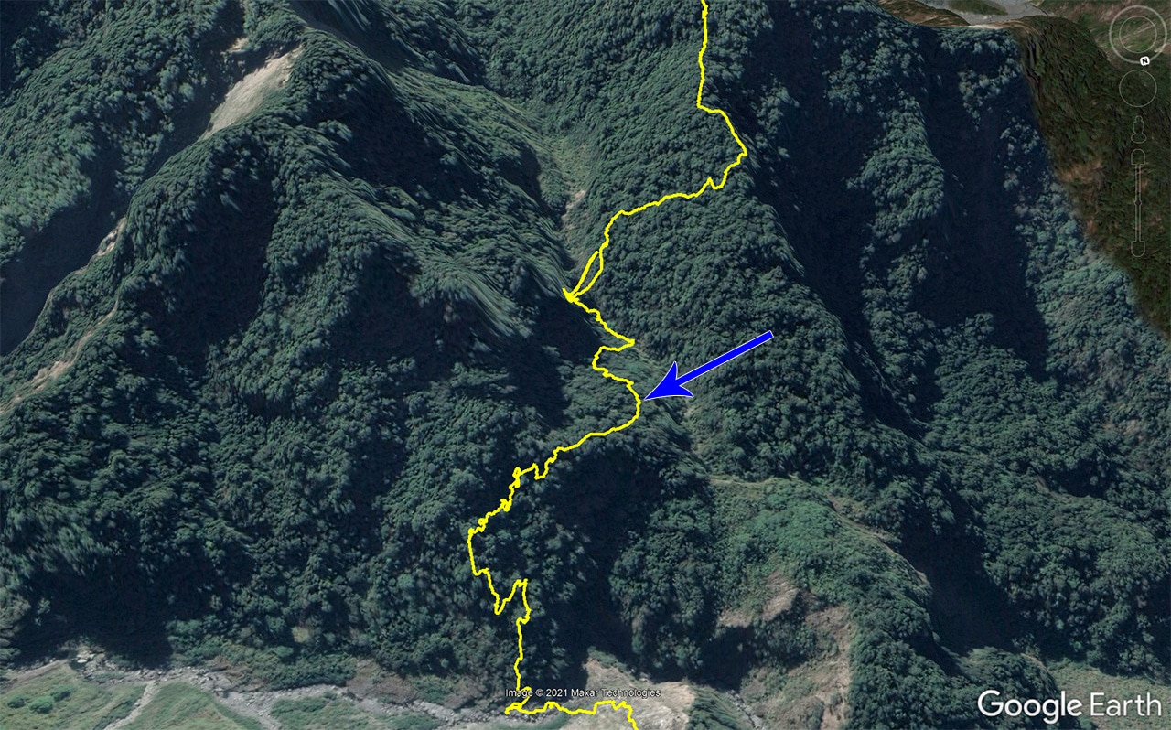
And at last…I made it to the flat bit of land!
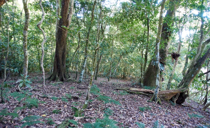
It’s circled in the topo map below. (click the maps for a larger view)
I know I keep going on about this flat bit of mountain. You’re probably wondering why. They’re all over the mountains…who cares, right?
It’s because it left a deep impression on me. One that I doubt I can convey to you here. But I’ll try.
First, it was SOOOOO quiet. Not that “creepy quiet” you sometimes find in the mountains, but a very nice quiet. A calming, soothing, restful quiet. The weather was perfect, there was a bit of wind, and I just felt so good at that moment. I hate to use this word–it’s totally not me–but it was “magical”. Everything was just so right.
You’d think I would have a bunch of pictures of it, but I don’t. It’s not a terribly photogenic place. But I did get these shots.
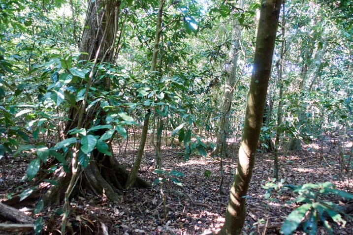
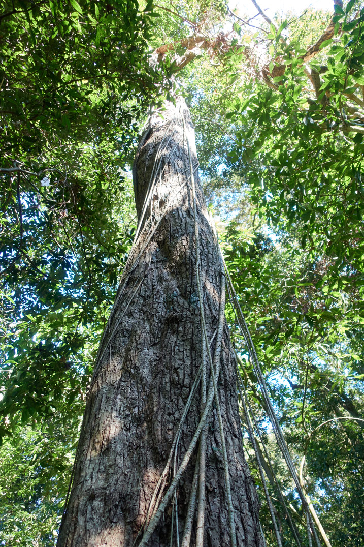
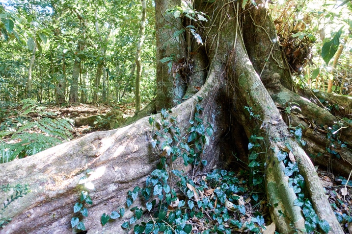
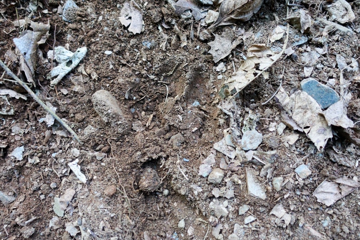
I didn’t hear any animals shy of a few birds here and there, but I did see evidence of their passing through.
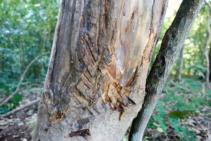
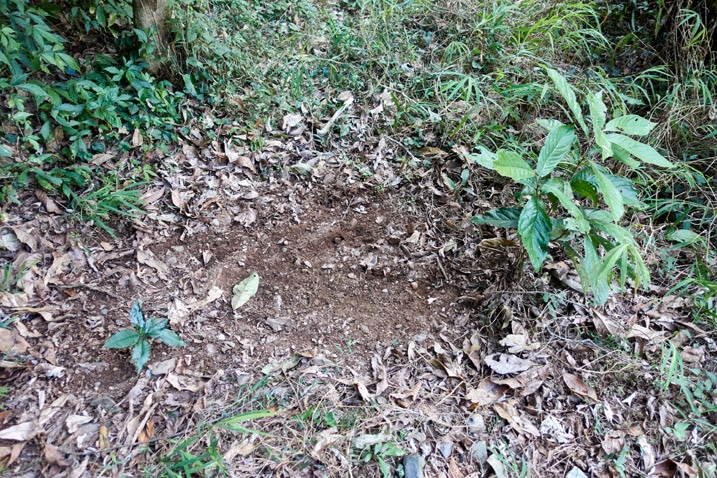
Stream
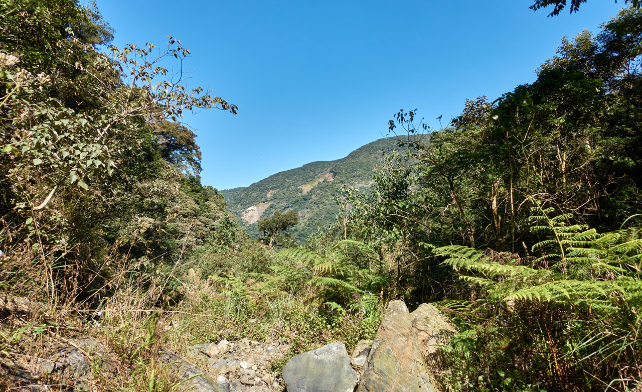
I strayed slightly off course and took a little detour around the edges of the flatland before linking back up with the GPX track I was loosely following. A small stream would be just ahead, but first I had to cross a bit of messy “next to water” area that was somewhat overgrown.
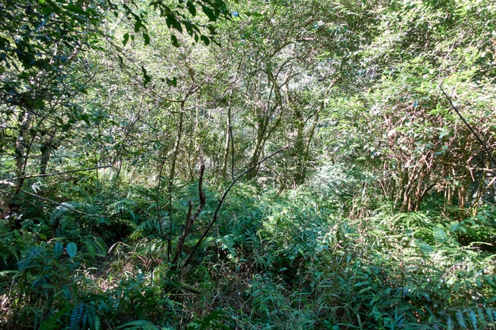
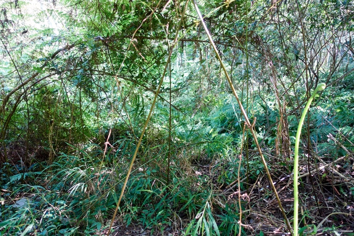
I finally had an opportunity to swing the machete a bit to help get myself through this little mess. I couldn’t hear the water from the stream, but I knew it was there. The final few meters weren’t so easy.
It took a little exploring to find the right spot to enter the stream bed, but I eventually found a suitable entry point.
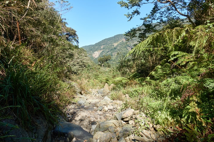
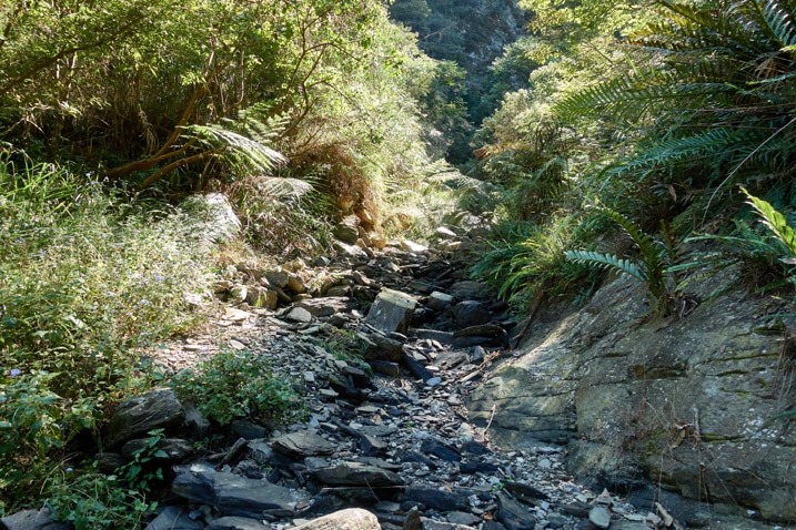
The stream was dry. But I didn’t need water, so no big deal.
I dropped my pack and took a brief rest. While there, I hiked a bit downstream and got this shot.
Following the stream would lead to the top of a small waterfall I suspect.
One problem I had from here is not knowing exactly where the trail picked up on the other side of the stream. The GPX track I had was quite erratic in this section. It was telling me that I needed to randomly climb up an extremely steep section. That obviously wasn’t right. So I hiked upstream hoping the entrance would be easy to spot.
Sticking to the stream seemed easy enough, but there appeared to be something of a path on the right side of it.
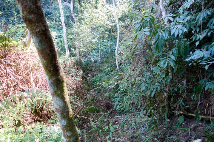
Why not give it a shot?
It took me up a bit higher than the stream. On a side note, I found it easier to stick with the stream on the way down.
And look at that….water!
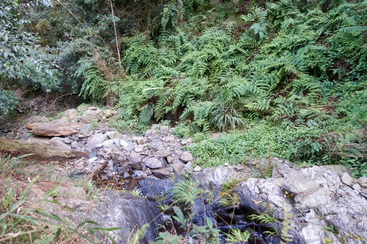
And along the way I found the trail!
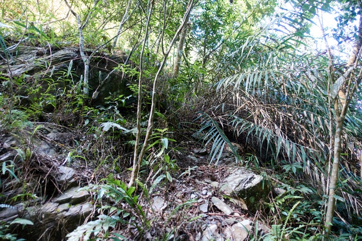
If you look closely, you can see a couple old ribbons attached to the tree on the right.
I heard water trickling upstream, so I quickly hiked up to have a look. I was met by a little pool of clean water.
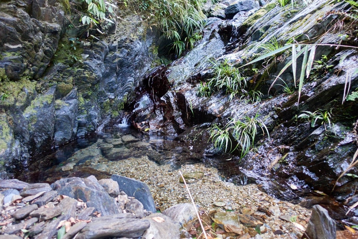
This picture doesn’t do it justice. It’s a nice little quiet spot to take a break if one was inclined to. Here’s a short video I took of the water.
I left immediately after shooting that video. It was time to start the final leg of the hike!
To the Peak!
I didn’t know it, but I had one hour to go…1.3 kilometers to hike…300 meters elevation gain to climb.
The beginning of climb from the stream wasn’t pleasant. It was steep, rocky, overgrown in places, and not easy to figure out which way to go. If you were to slip and fall somewhere along this hike, this would be one likely place. Fortunately it didn’t last long. Things quickly got back to normal.
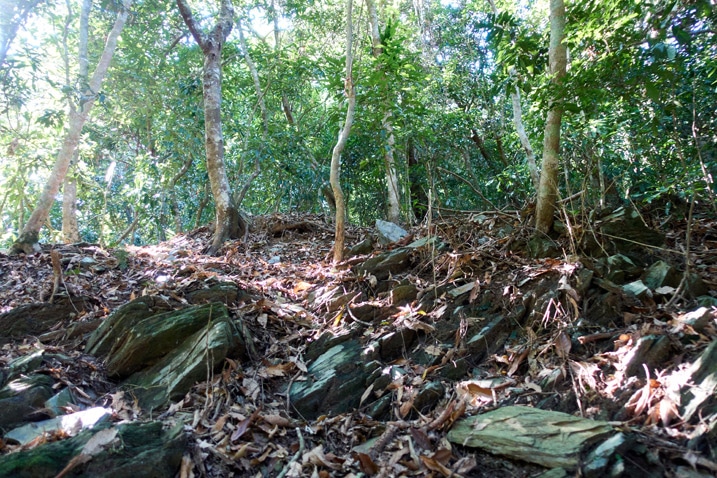
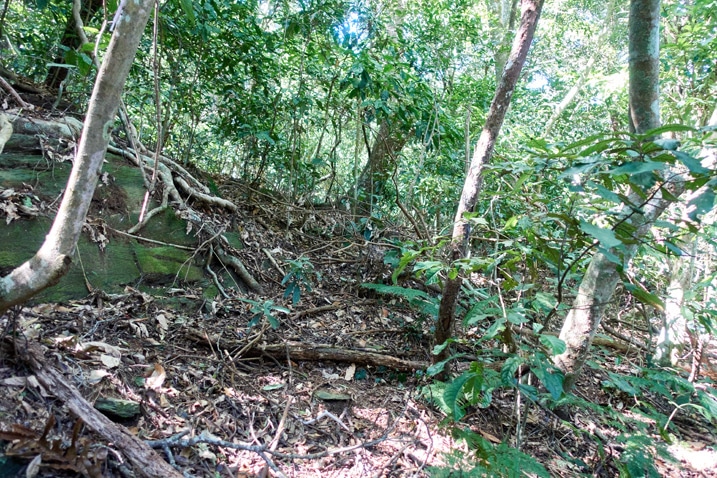
And yes! There were some ribbons to follow!
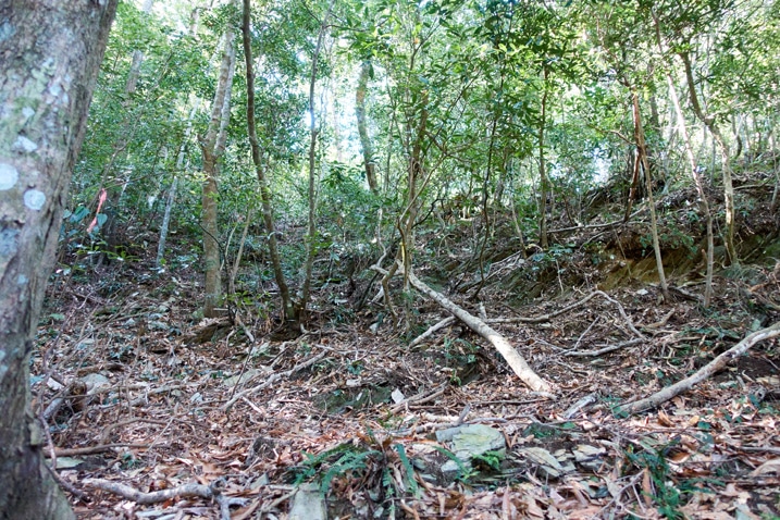
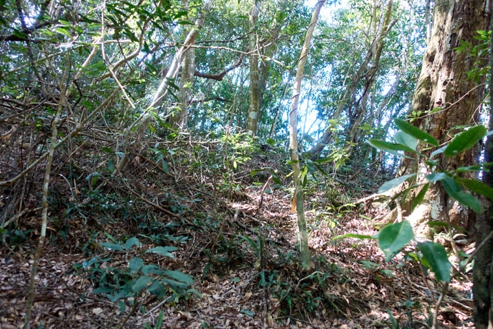
It took thirty minutes to reach the ridge. There was a bit of a view, but not much to see.
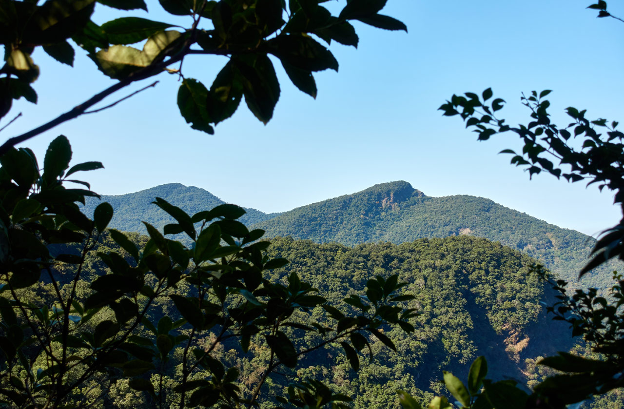
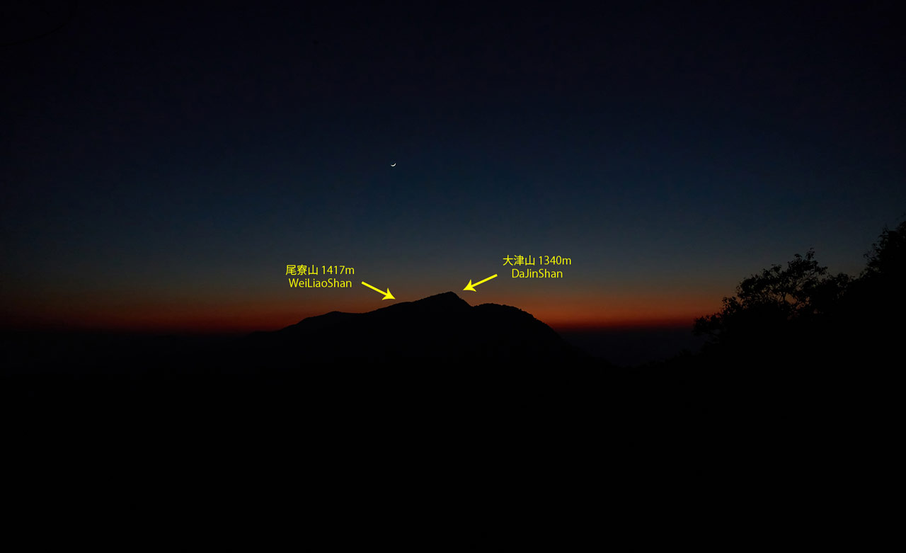
And once again, WeiLiaoShan makes an appearance – the peak on the left. The one on the right is DaJinShan – 大津山.
Once on the ridge, it was pretty easy to follow the trail. It ended in this large flat-ish area that turned into a steep climb to the top. There were several possible routes to take from here. I stuck with what seemed the easiest and pushed my way up.
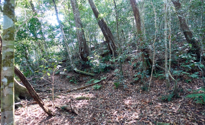
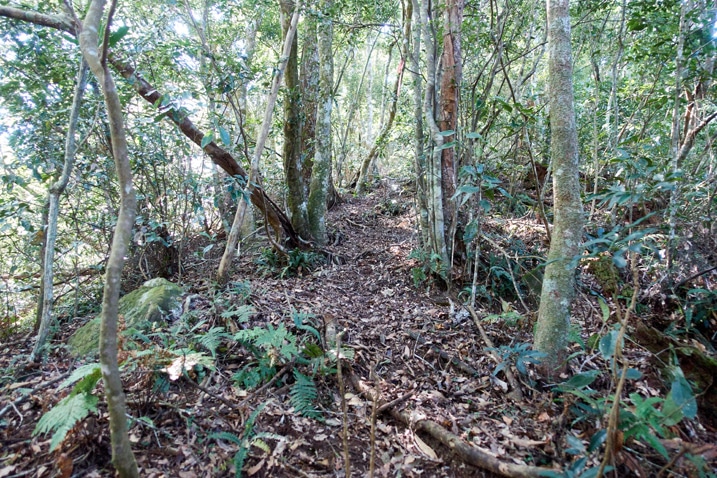
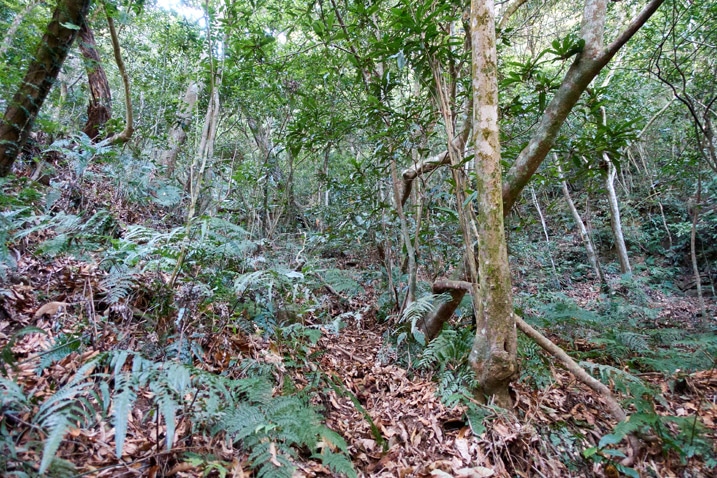
LiAYanShan – 里阿岩山
At long last I had made it to the final little flat bit of ridge at the top that leads to the peak!
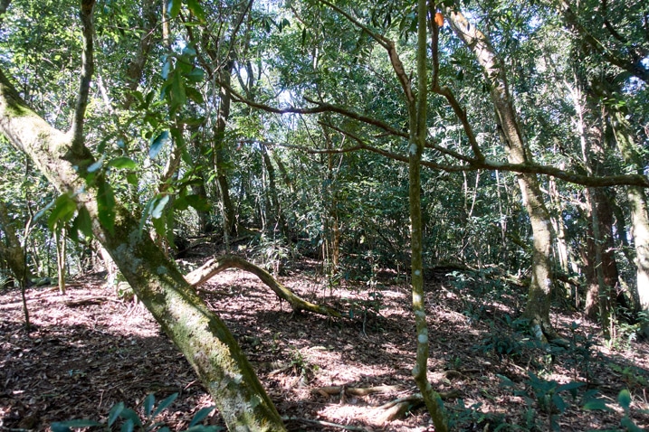
A minute or so later and I had arrived!
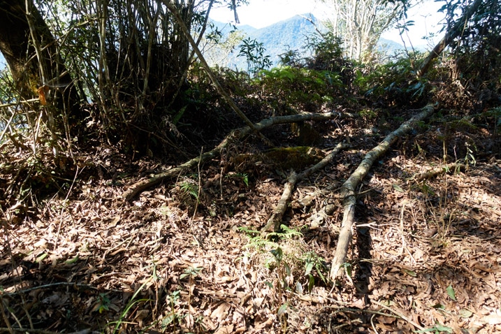
…arrived somewhere. But where was the triangulation stone??
I walked out from under the trees and into the sunlight. What I saw was…well, I’ll get to that in a minute. But first, let’s search for the stone!
I looked here and there…kicked grass around and moved fallen branches…but I still couldn’t find it. I doubled back to the shade and looked around some more…and bingo!
There’s the trig stone!
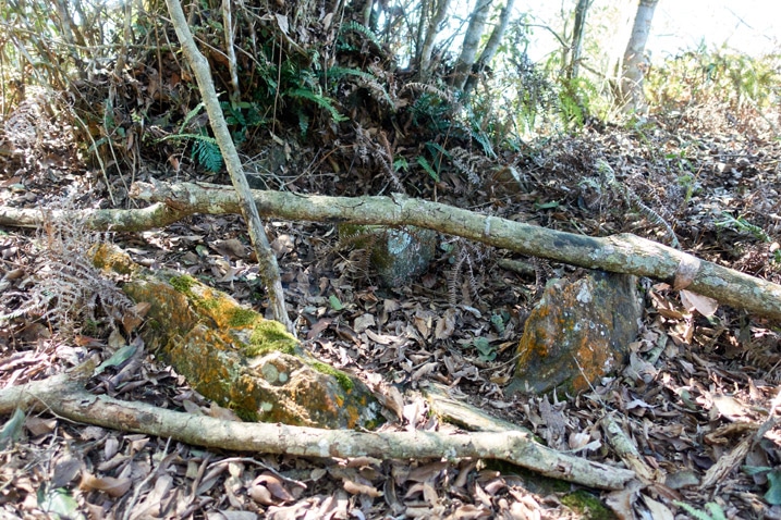
Looking at it now it doesn’t seem all that hidden. But at the time I completely missed it.
So…what did I see at the edge of this peak? See below…
I gotta say, this was the perfect “end” to a perfect hike! The views were great!
Ok, there were a cluster of trees right in the perfect spot to allow for a great panoramic picture. If that kind of shot is important to you, best bring a mini saw.
Don’t get me wrong. Even if there were zero views at the top, I would still love this hike. I don’t pick hikes based on its views. I enjoy those that present a challenge, have few people that visit, and have a little bit of everything like this one did. The views are just the icing on the cake.
So what’s left? Peak pics!!!
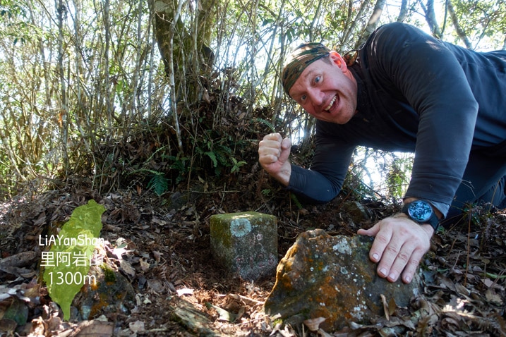
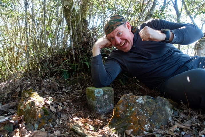
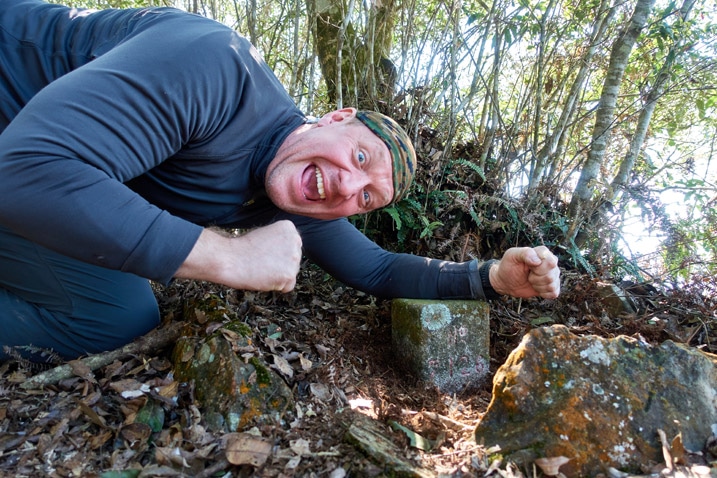
And a closeup of the triangulation stone.
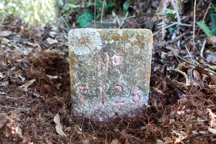
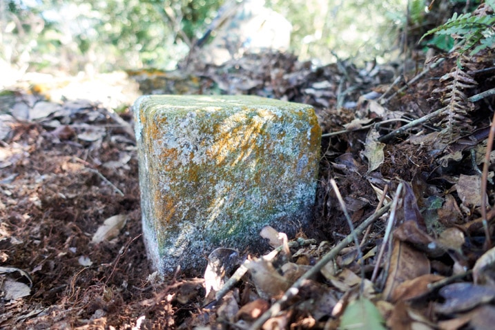
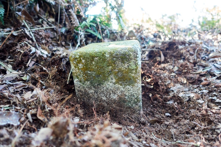
I wasn’t about to dig out the back side of the stone and try to wedge my camera back there. Sorry…
After a bit of exploration I found one of the signs off to the side covered with fallen branches.
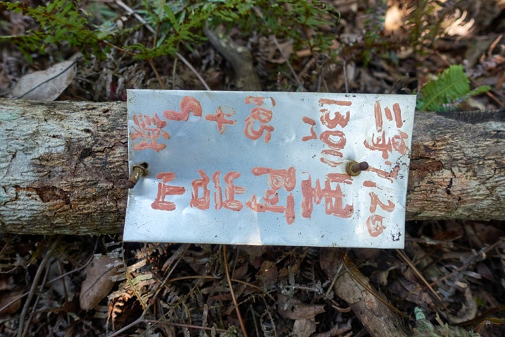
This place really looks a lot different from pictures I found when researching this hike. For example, this is how the peak stone and signs looked.
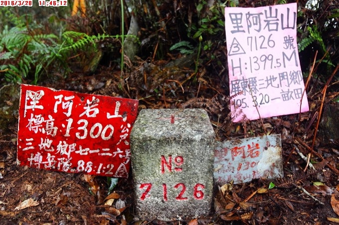
That was almost five years ago. None of those are to be found there now.
Here’s how the area looks as you approach the peak.
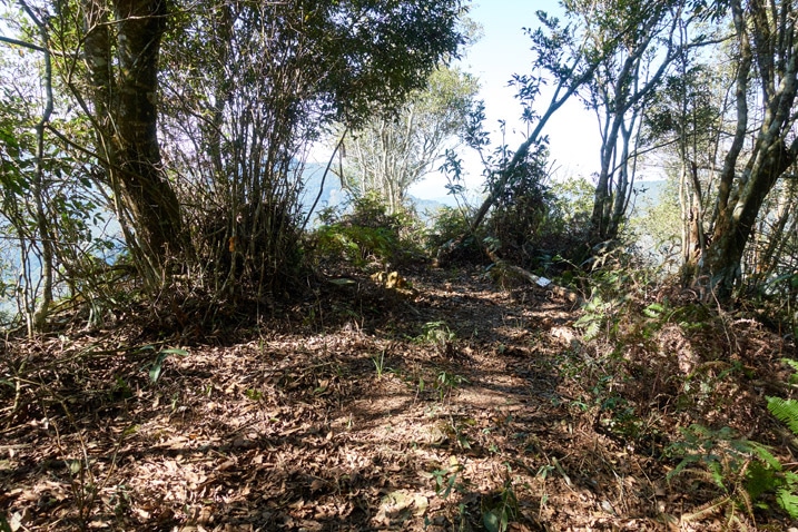
The Entire Trip Back to My Motorcycle in One Little Section
There isn’t much left to write except the entire trip back to fetch my larger pack and the hike to my motorcycle. But that would be extremely boring to tell. I suggest you read this post in reverse to get a rough idea how that turned out.
What I CAN offer you at this point in the post are a bunch of pictures I took on the way back.
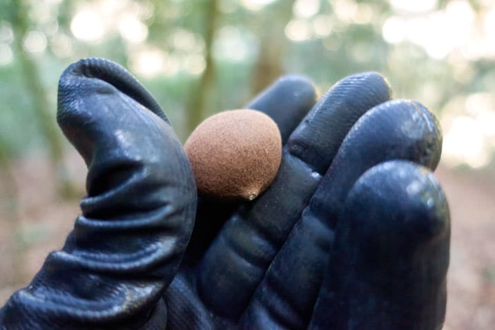
This is Helicia formosana (or Mountain Longyan – 山龍眼)
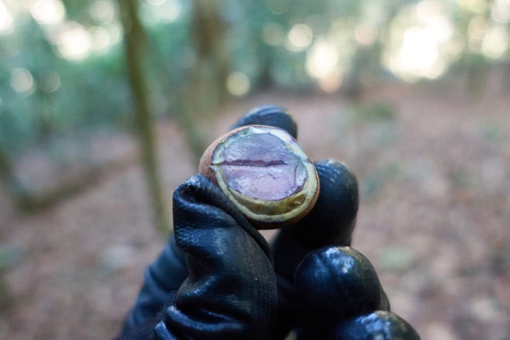
ID thanks to Trevor Padgett on Twitter.
Here’s the next ID. A couple edibles. I’m guessing the first one is some type of fig? The 2nd, not sure. The ‘shell’ was pretty hard. The insides somewhat firm. Something had been eating both, but couldn’t get past the insides of the 2nd one. Guesses? #hiking #taiwan #OutHiking pic.twitter.com/4xSwb65zWZ
— OutRecording (@OutRecording) January 17, 2021
Again, click any of the pictures above for a larger view.
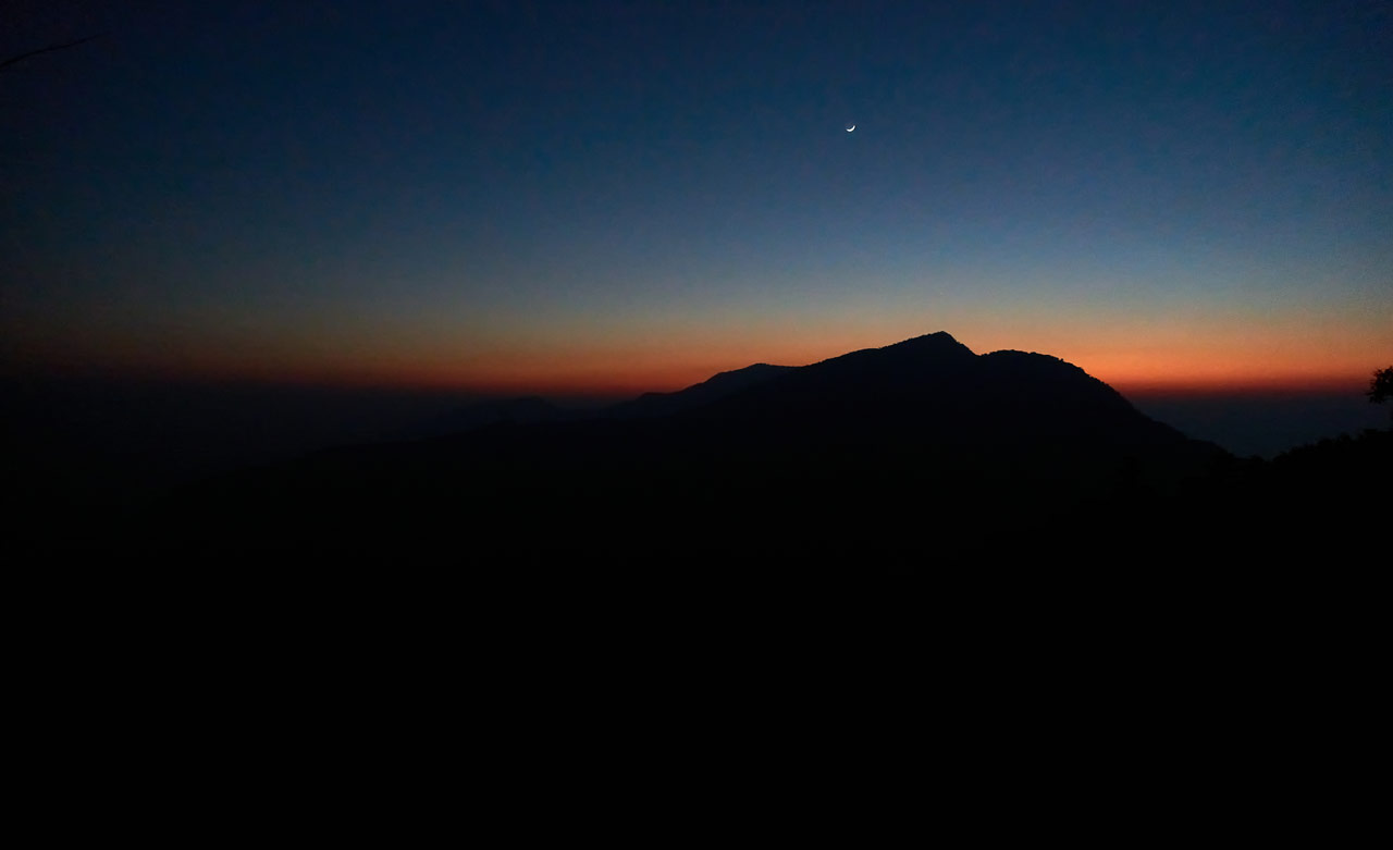
I didn’t have a tripod, so I did my best to get night shots holding the camera as steady as possible.
Hiking this entire thing and then having to carry the heavy pack the rest of the way to my bike…AND THEN having to drive out of there in the dark…let’s just say was kind of tiring. I started at 6:30am and I’m estimating that I got back to my bike around 6:30pm. And then a solid one and a half hour drive to get out of the mountains. Yeah, fun times!
Let’s Wrap This Up
Did I mention that I LOVED THIS HIKE!? For real, it was great! This is one of the few hikes that I would do again. And that’s saying something for me. I can think of one, maybe two hikes I would do again.
Now, would I recommend that YOU try this hike? After reading all of this if you think it’s for you, then yeah, you know yourself better than I do…so go out there and have fun! But it’s definitely not for the average hiker. There are dangers involved that are not for everyone. They’re dangers that I think most people would be fine navigating with someone experienced. But seeing how those parts aren’t marked and with no clear trail to follow, I wouldn’t feel comfortable telling the average hiker to hike it.
Date hiked: 2021 Jan 15
GPX Track Download Instructions: Click the track on the map to see the download link
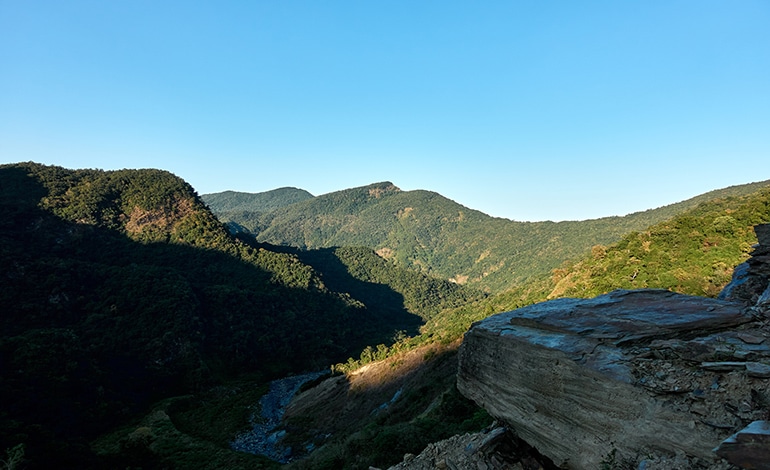
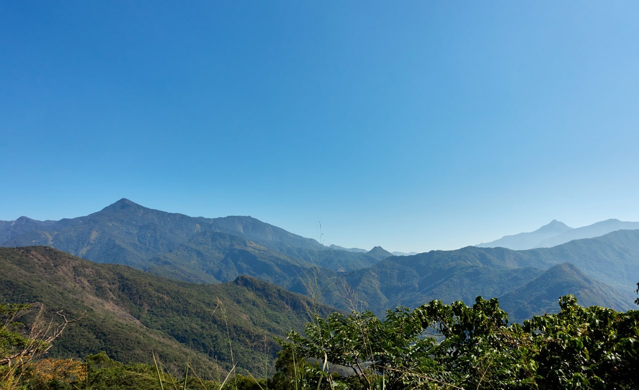
I’m including my return trip track because it has a better path to follow from the riverbed to the “flat area”. I was WAY off course on the way up.







![[Valid RSS]](https://outrecording.b-cdn.net/wp-content/uploads/2020/03/valid-rss-rogers.png)
Leave a Reply