I usually don’t post about hikes that were unsuccessful. But I thought this odd little peak was worth a mention; especially since I doubt I will try it again any time soon.
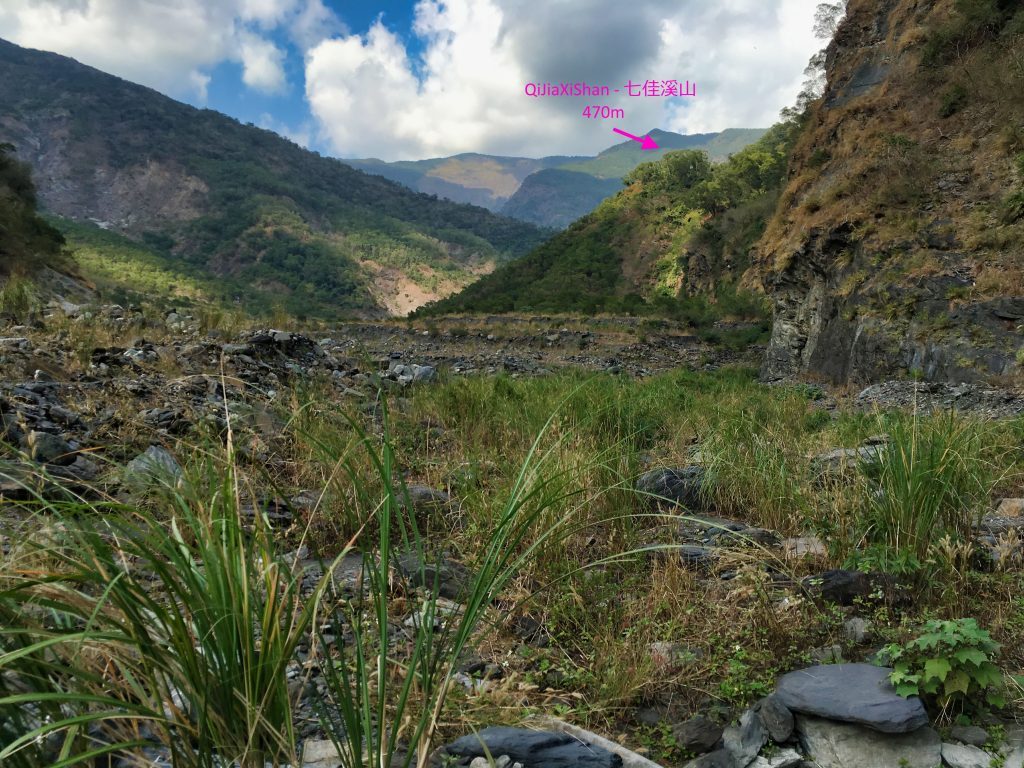
QiJiaXiaShan 七佳溪山 is located far up the Lili River 力力溪河 in Chunri Township. At an elevation of 470 meters, it likely won’t catch your attention. What I found interesting about it though was its location.
(UPDATE: On February 28, 2020 I successfully hiked to the peak. The write up on that hike is here: QiJiaXiShan Revisited – 七佳溪山 – Hike in Southern Taiwan )
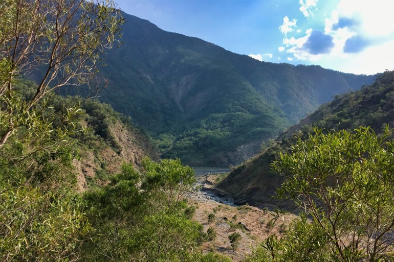
As you can see, there’s nothing special about its location at all. I can’t tell you how many little fingers I’ve seen like this on the riverbeds. They reach out into the river, directing it this way and that. So why did the government decide to put a triangulation point here? That’s what I tried to find out and failed. So I figured I’d go see it for myself; maybe that would yield some answers.
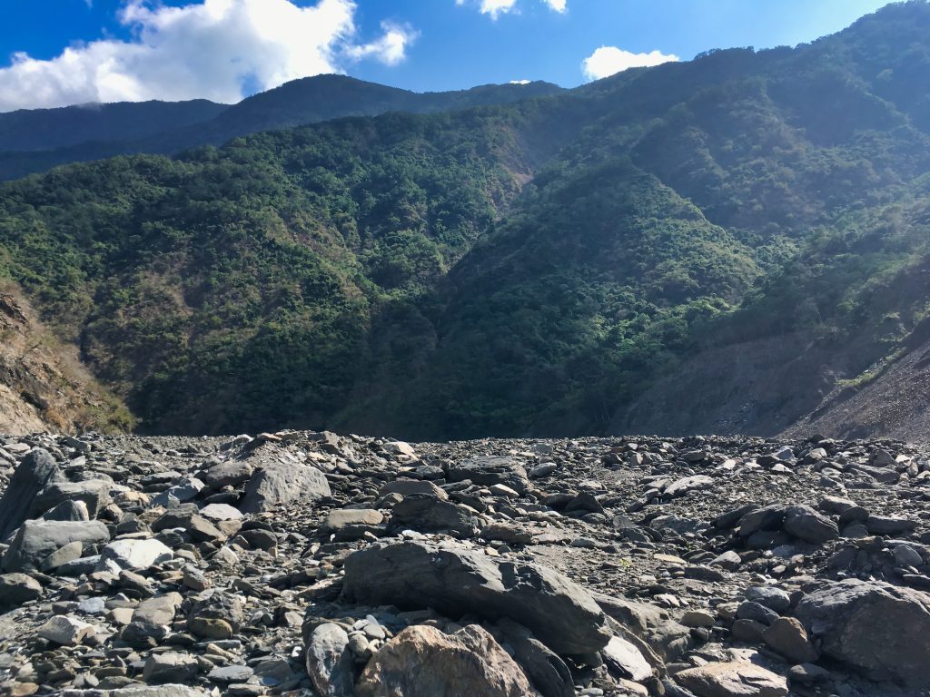
I’ve ridden my motorcycle on this river countless times since Typhoon Morakot ripped down the mountainsides and filled it with debris. Every year it would get a little harder to drive deeper. But I could always count on getting to a specific spot. This spot is maybe an hour’s hike to the trail head. I based my entire hike on that unfortunately. What I didn’t realize was that there were some major changes to the riverbed since last year.
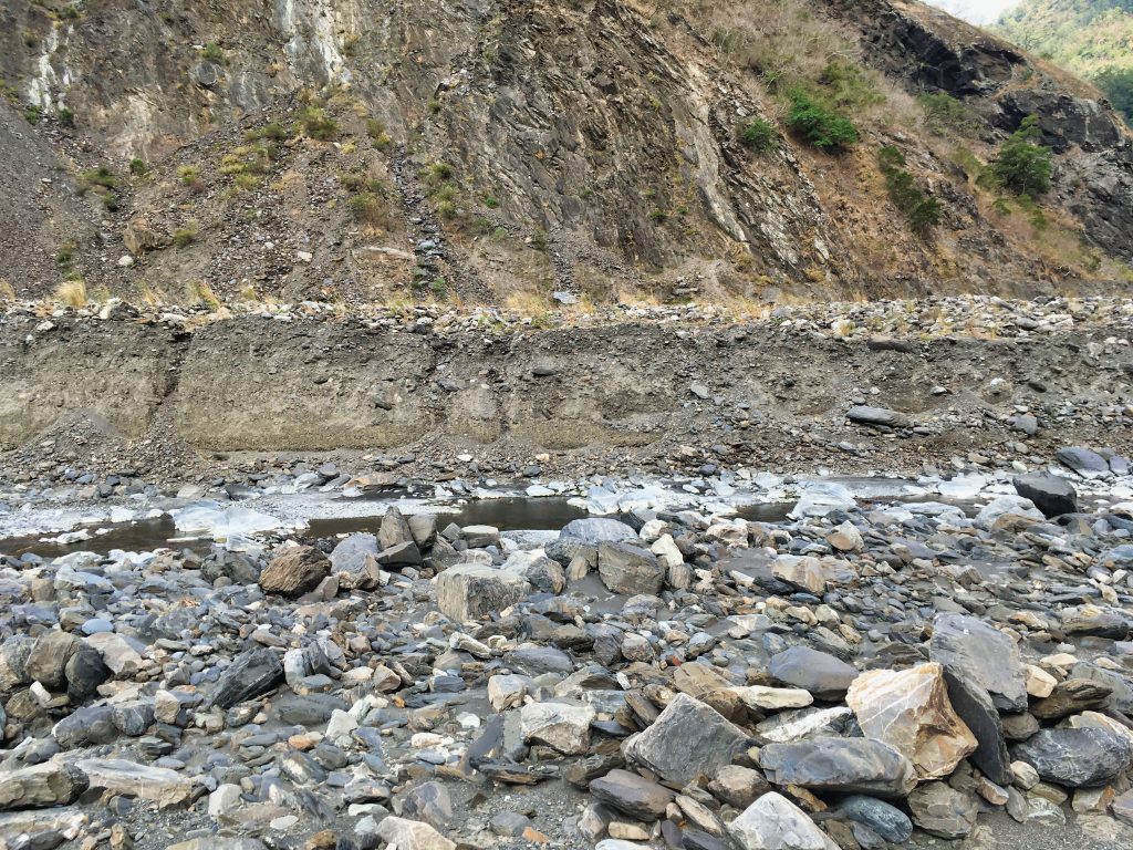
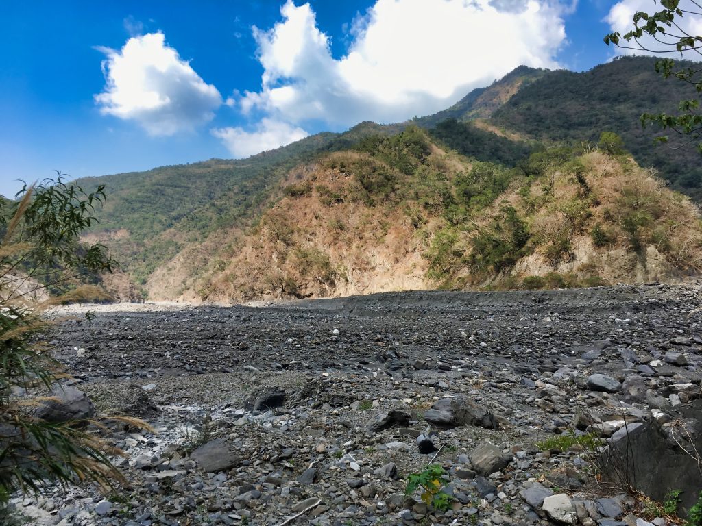
You can see how high the riverbed used to be based on that embankment. Subsequent typhoons and large amounts of rain have slowly swept out a lot of the debris.
As it stood, I had to stop about 1.5 kilometers short of my intended stop point. That ate up a good deal of time round-trip. So I parked and got to hiking.
Along the way, slightly hidden, is a small waterfall I like to visit. Like QiJiaXiShan it’s not particularly interesting. But I like it nonetheless.
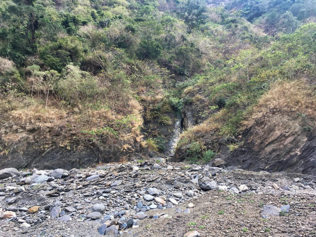
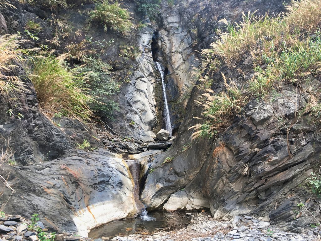
Over the years I’ve documented how it looks as the riverbed changes. Here’s a quick and dirty comparison I did a couple years ago. You can see how it had sunk a couple meters.
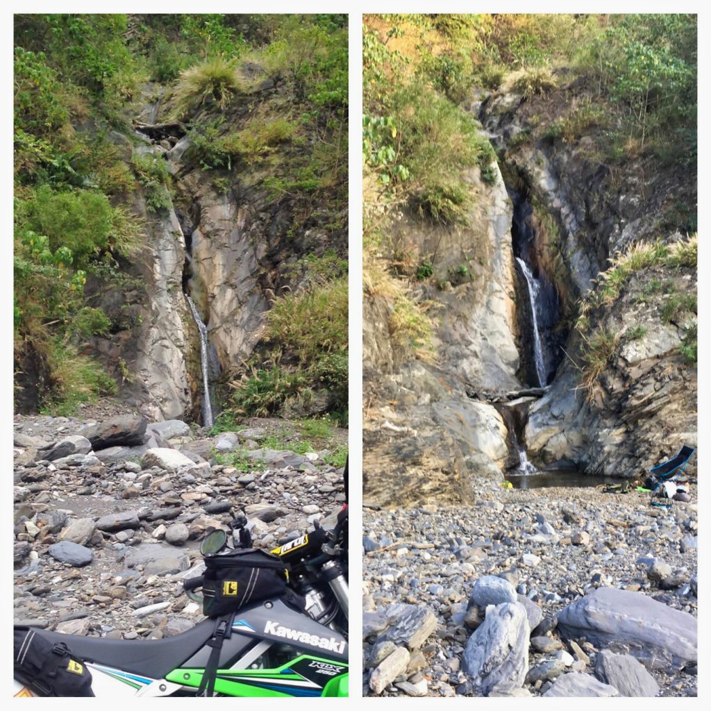
If you’re ever on this riverbed and can find this waterfall that’s full of little fish and some crabs and frogs, it’s a great place to have a meal. Just look at the views.
After my brief stop I continued on. Along the way I crossed paths with three guys on ATV’s finishing up their lunch.
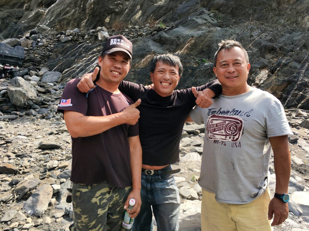
Since I don’t have a lot to say about this trip I’m going to take a moment and write about hiking alone in Taiwan. In general, Taiwan is a pretty safe country. Despite that, I’ve always kept a healthy amount of defensiveness when hiking and meeting strangers in the middle of nowhere. I usually feel bad for assuming people might harbor bad intentions, but I’m not one for taking chances, especially when outnumbered. This encounter was no different.
For some reason I felt they were acting a bit odd. In hindsight, seeing a lone foreigner hiking up to them this deep into the riverbed probably felt odd to THEM. I mean, who would expect to see that? And on a Thursday?
So…I was talking with one of them and one of the others got up and was walking behind me. I spied something long and metallic in his hand out of the corner of my eye. As he got up behind me I quickly turned around, hand on my machete and put a little distance between us. This was kind of instinctive. And well…the guy was holding a pair of metallic chopsticks he was taking to wash in the river. DOH! 😳
Like I said, I usually feel bad about my defensiveness…If one of the three guys are reading this…sorry!
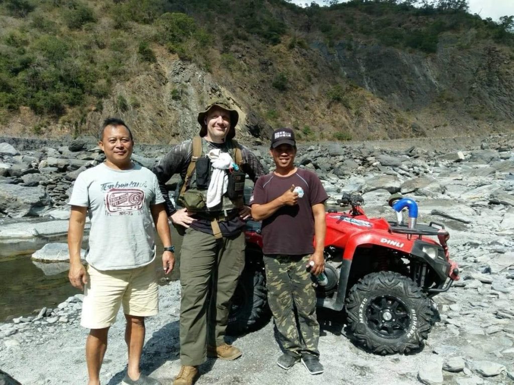
Turns out they’re pretty cool guys and offered to take me riding sometime. It also turned out that we all live in the same city and one of the guy’s sister-in-law knows my wife. Hahaha…small world. She sent my wife this picture.
I said my goodbye’s and headed for a nice little hidden gem of a place to drop some unnecessary weight before I started the hike up QiJiaXiShan.
Unless you’re extra observant it’s easy to miss this place. It’s hidden back there.
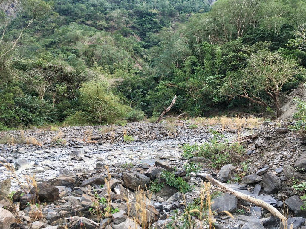
Here’s a sneak peak…more later.
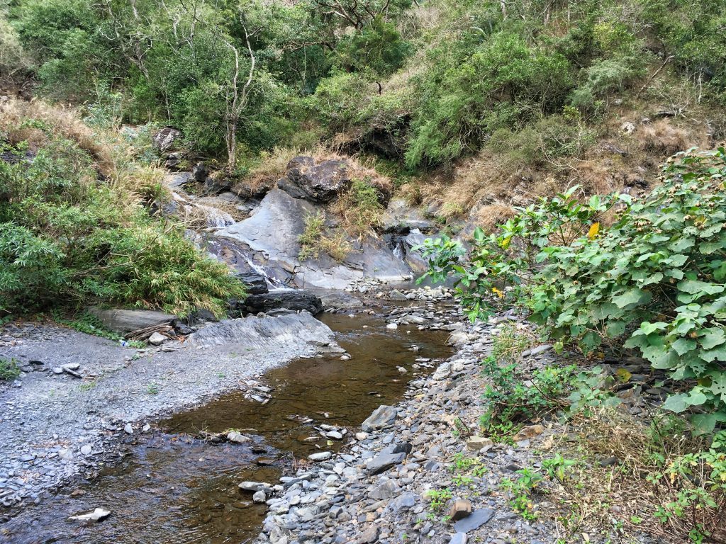
After dropping a good deal of weight, I headed towards QiJiaXiShan.
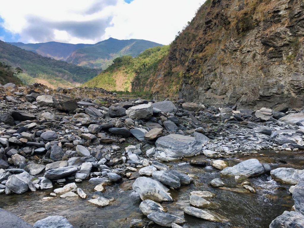
This part of the riverbed has also changed a lot. There used to be a nice flat shelf you could hike that I believe would take you pretty close to the trail head. Now…it’s mostly gone.
What’s interesting is how plenty of vegetation has grown up and around the rocks.
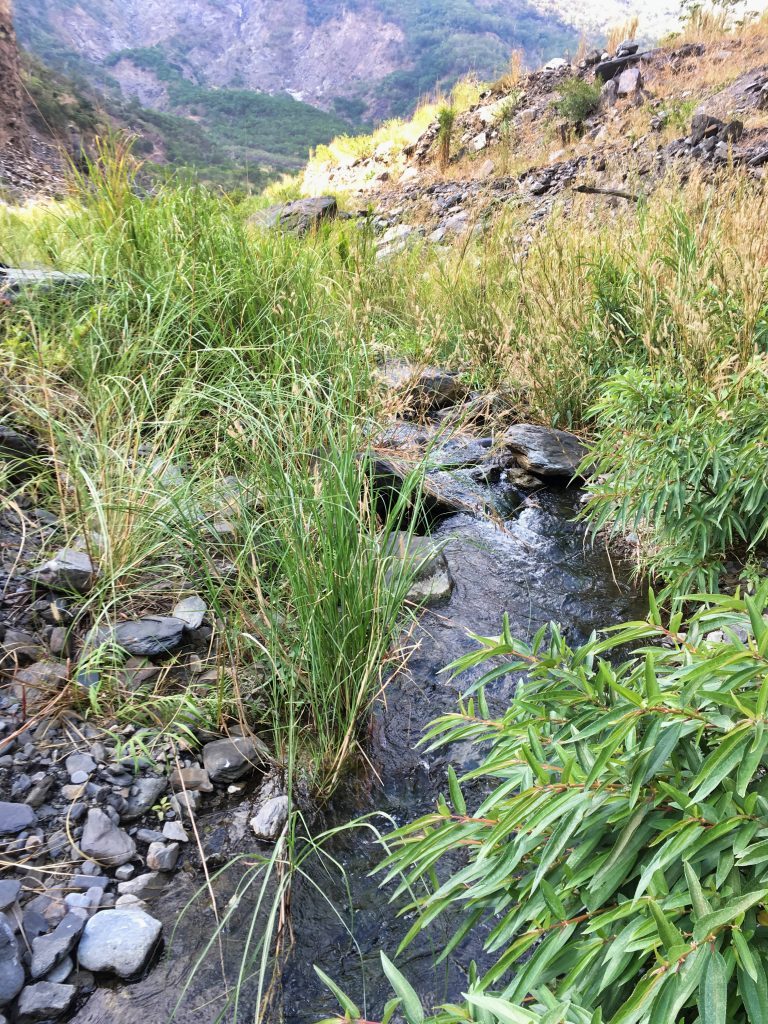
This slowed things down though.
Along the way there was evidence of some fires.
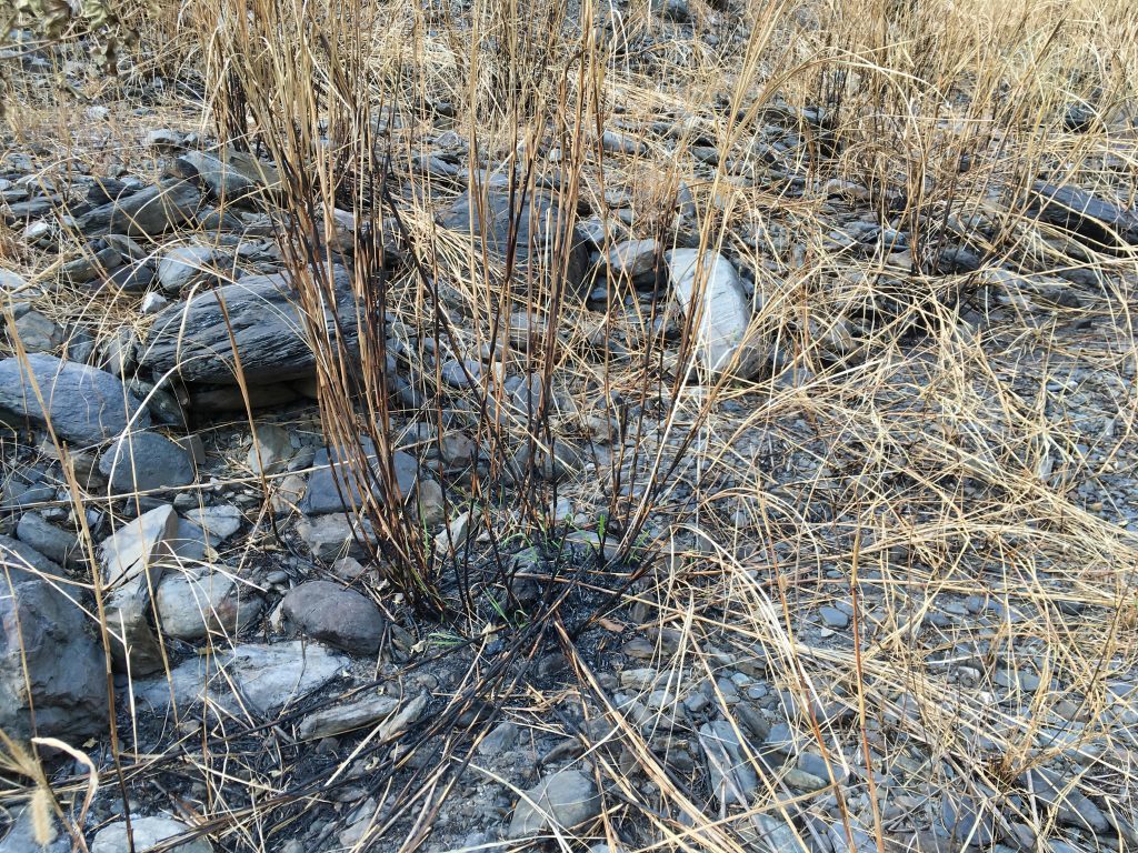
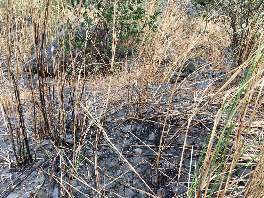
It didn’t look like it started in one place and spread. It seemed quite sporadic. I can’t say if it was a natural or man-made fire. Probably man-made…
The only real thing of interest was this spray painted rock. I have no clue what this is supposed to mean.
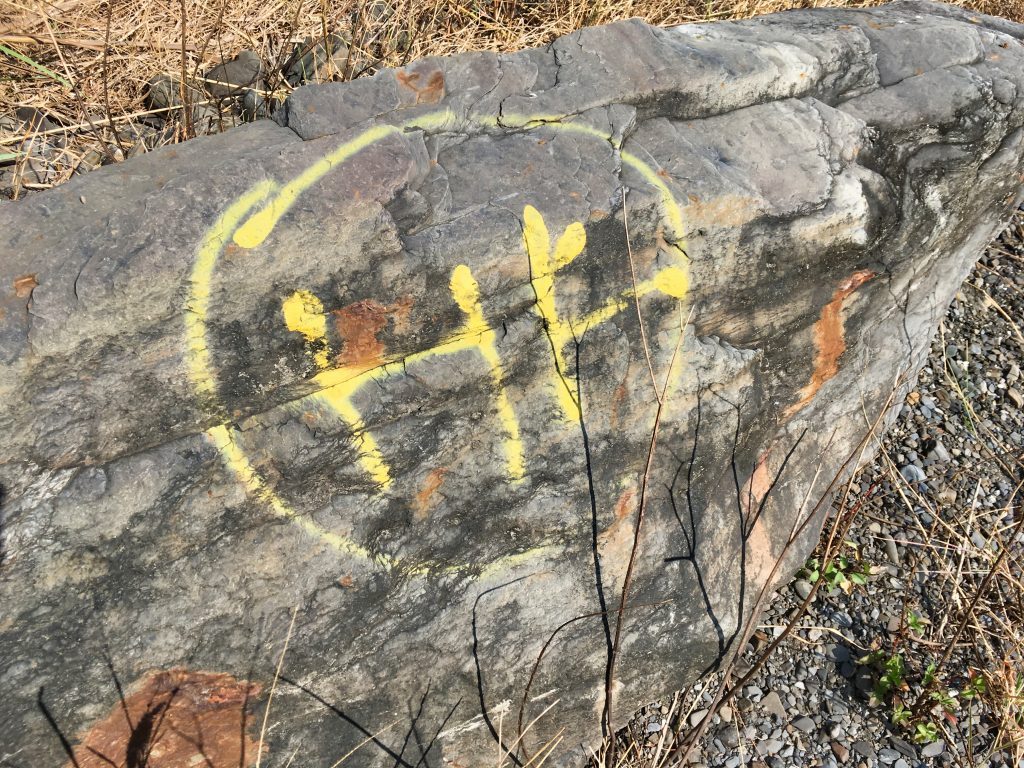
After fifty minutes of hiking I made it to the trail head.
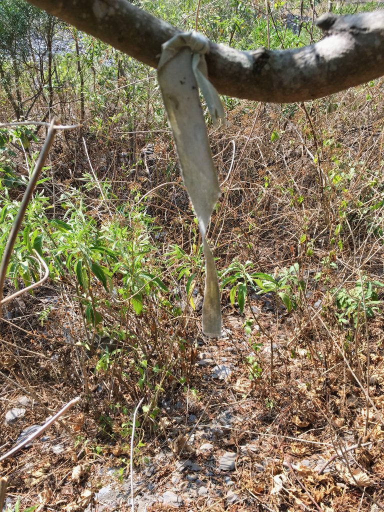
I was expecting it to be steep…but not quite THIS steep.
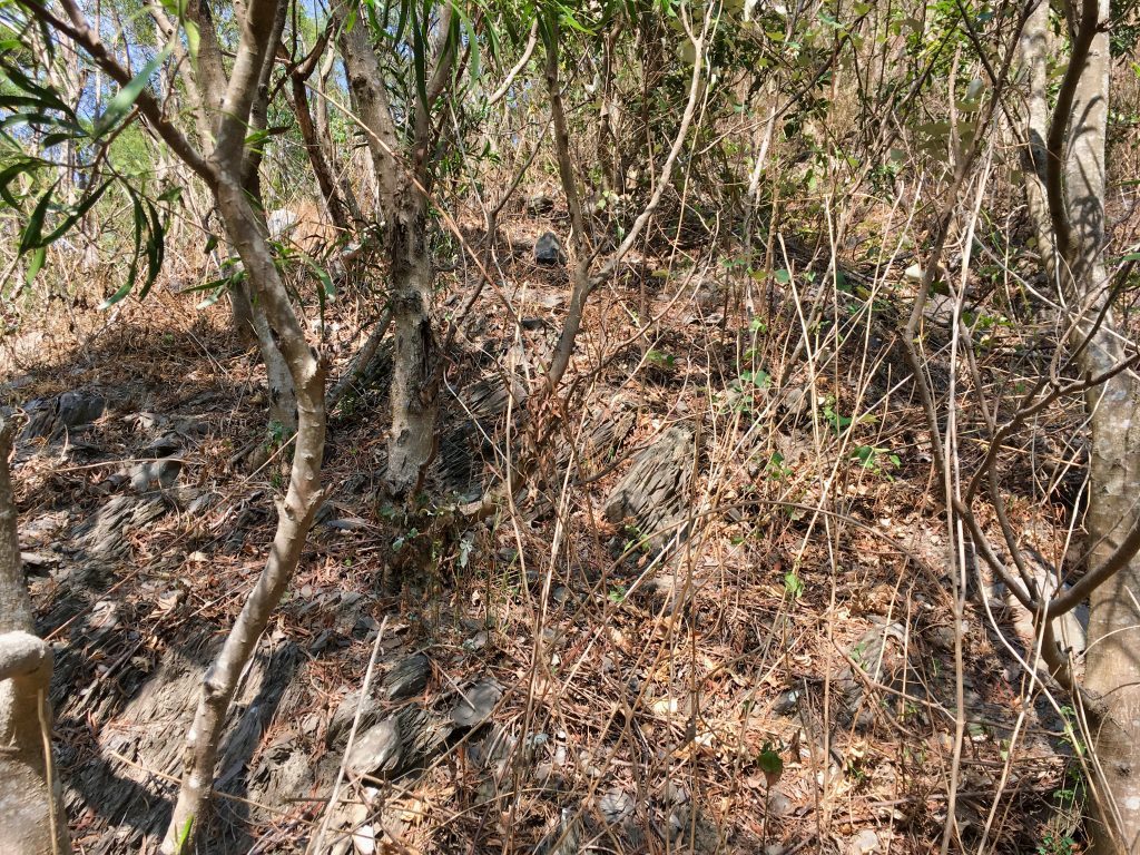
It’s difficult to tell steepness with a cellphone picture. Just take my word for it. Any steeper and you’d need to bring along rock climbing gear. 😉
The entire way up looked pretty much the same.
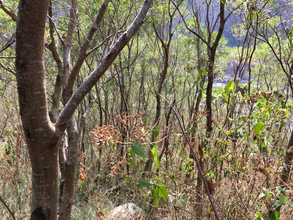
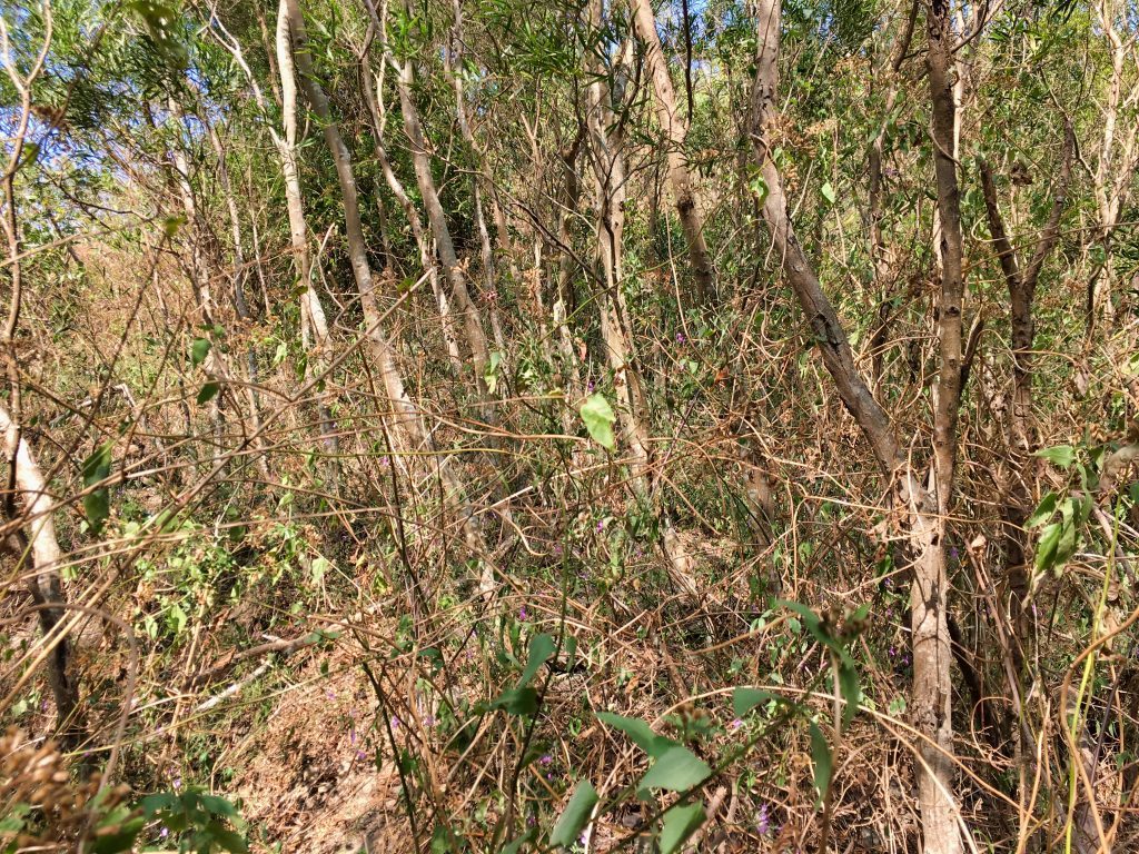
Notice all the dead vine-like foliage all over? They caused some problems. But nothing a machete couldn’t handle.
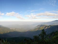
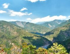
The whole way up you could get some decent views of the riverbed below.
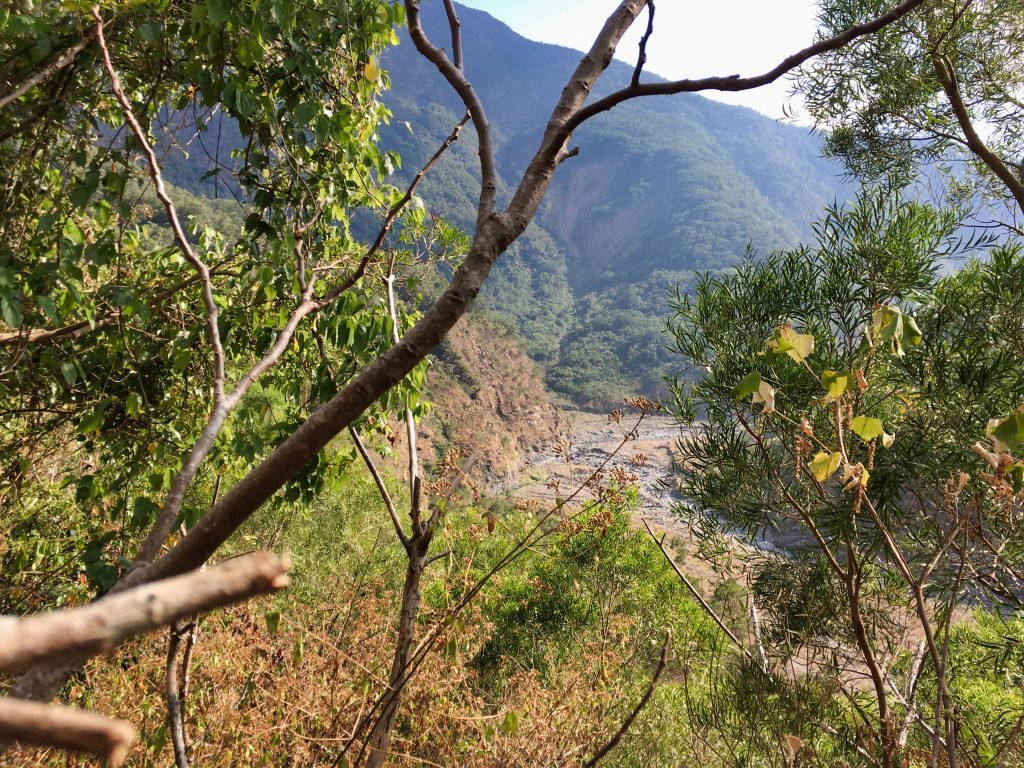
I made it a bit over halfway to the peak and ran into a huge mess of those dead branches. I was stuck and couldn’t find a path up. There was this fallen tree that I think was covering the path I was supposed to take.
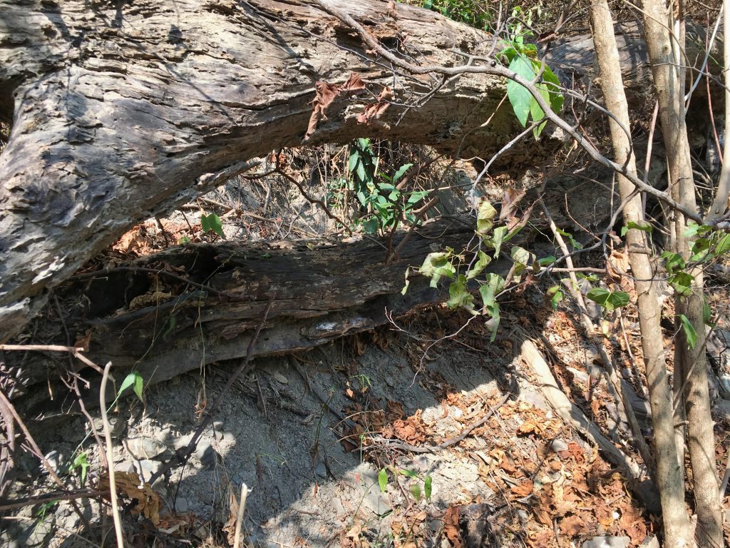
This is where losing time because of the extra hiking bit me in the ass. The amount of hacking needed to get me to the top was an unknown. If I was going to get out of here by dark I needed to turn around now. Normally I wouldn’t care, but after my last hike and worrying my wife…I decided to turn back. But not before taking a moment for the best view of the day.
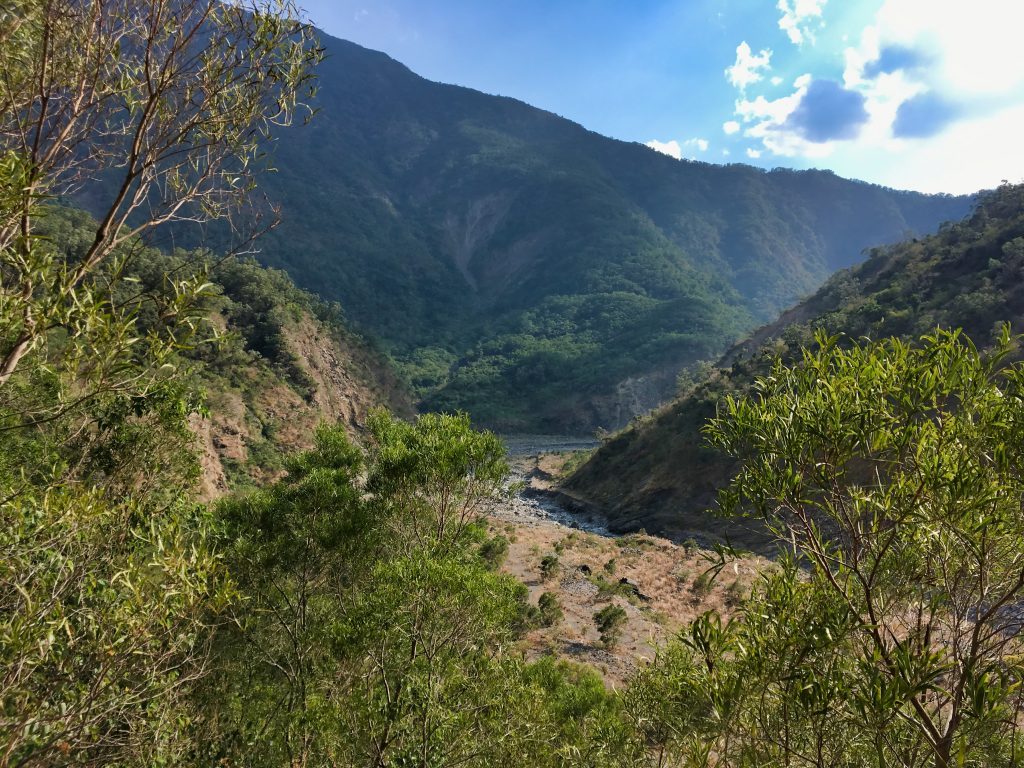
I was bummed about not making the peak, but even more bummed about not being able to cook some food for a much needed late lunch when I got back to the place where I dropped my stuff.
I mean, this was one of the main things I was looking forward to for this hike. Who wouldn’t want to sit here for an hour to relax??
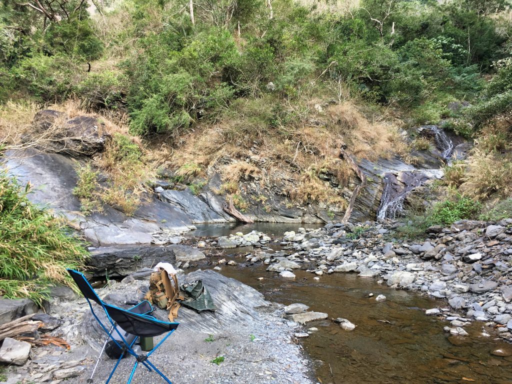
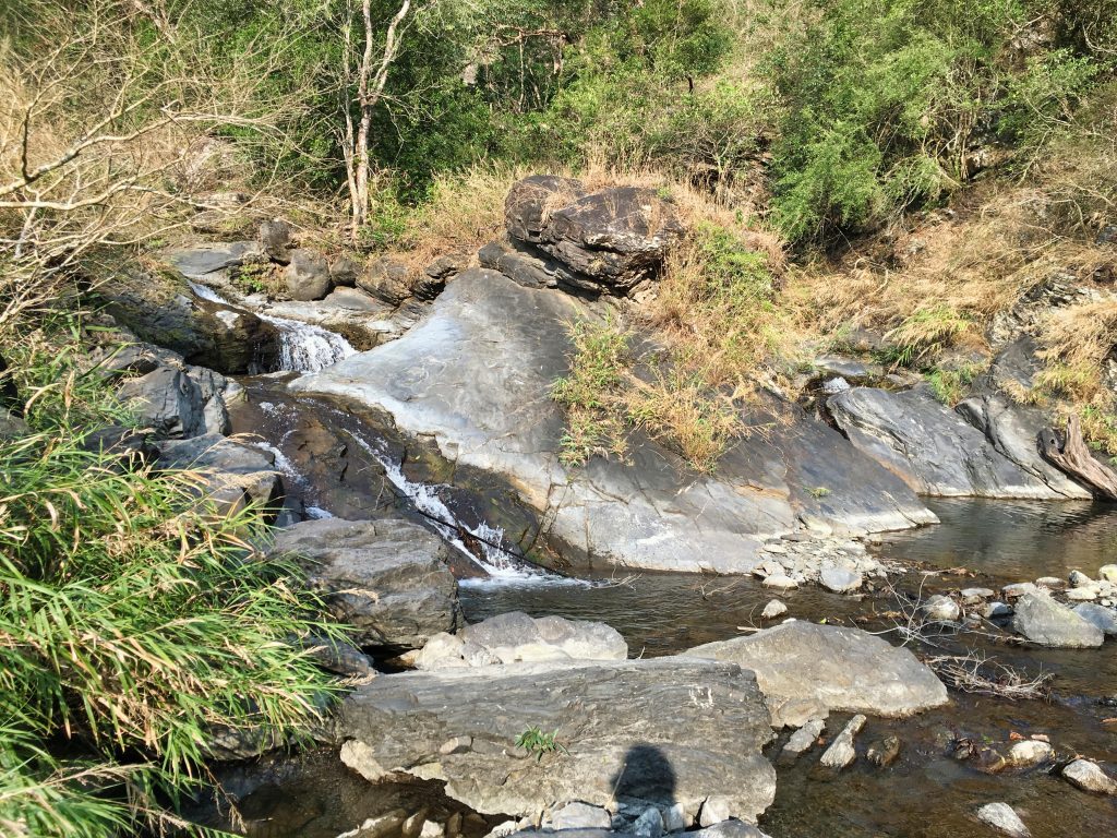
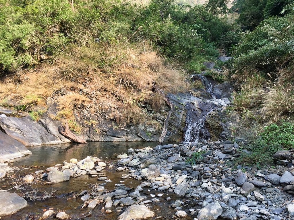
I reluctantly ate some dry food as quickly as I could and hiked back towards my bike.
Absolutely nothing of interest happened on the way back. I got to my bike, changed into my riding gear, and drove out just before it got dark.
That’s it. I didn’t reach the peak. I didn’t get to cook my lunch in a great spot. And I got scared by strangers. Sounds like a good day to me. *sarcasm*
In addition to my GPX track, I’m also including the GPX track I found online so you can actually reach the peak. You can download it at the bottom of the page here: https://www.keepon.com.tw/thread-92bd0abf-19c9-e611-80c6-901b0e54a4e6.html
I’ve found that sometimes the files disappear. So I’m including it in this post just in case: http://outrecording.com/wp-content/uploads/GPX2/七佳溪山.gpx
***UPDATE***
For a complete GPX track, please download the track from this page: QiJiaXiShan Revisited – 七佳溪山 – Hike in Southern Taiwan
Date Hiked: 2019 January 24
GPX Track Download Instructions: Click the track on the map to see the download link

![[Valid RSS]](https://outrecording.b-cdn.net/wp-content/uploads/2020/03/valid-rss-rogers.png)
Leave a Reply