

CaoBuHouShan and BaShiMoShan are two peaks that were low on my list to hike in Taiwan. But with the high chance of rain forecasted for most everywhere down south that day, this area in Shihzih with a low chance of rain offered me the only chance to stay dry. So I took it.
They are located north of the number 9. You can see them about 10 minutes after getting on the 9 heading east.

One of the main reasons why I wasn’t too keen on hiking to these peaks is because they looked like they would be too easy. Judging from Google maps, I could drive nearly to both peaks. That’s great for offroading; not so great for hiking. What I couldn’t have possibly known was how wrong I was. Maybe when Google took those satellite pictures I could have driven to them, but not that day. What I thought would be an easy-peasy, mostly relaxing day of riding, turned out to be a wet and tougher day.
The Road to CaoBuHouShan – 草埔後山
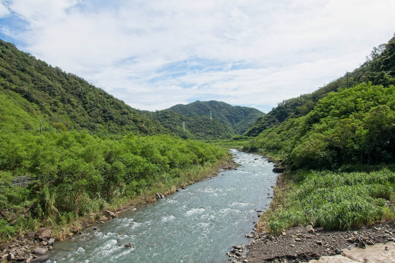
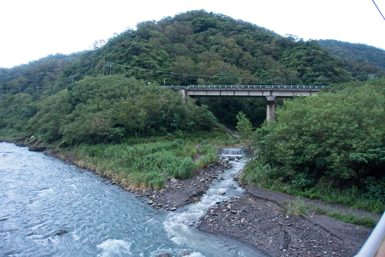
The drive down to the 9 was promising. The weather was great and I had plenty of time for my “simple” hike. I arrived at the small bridge that crosses the FengGang River – 楓港溪 just before 10am.

This may seem like a late start, but remember I was expecting a short day.
I would recommend stopping at the bridge for some pictures if you have the time.
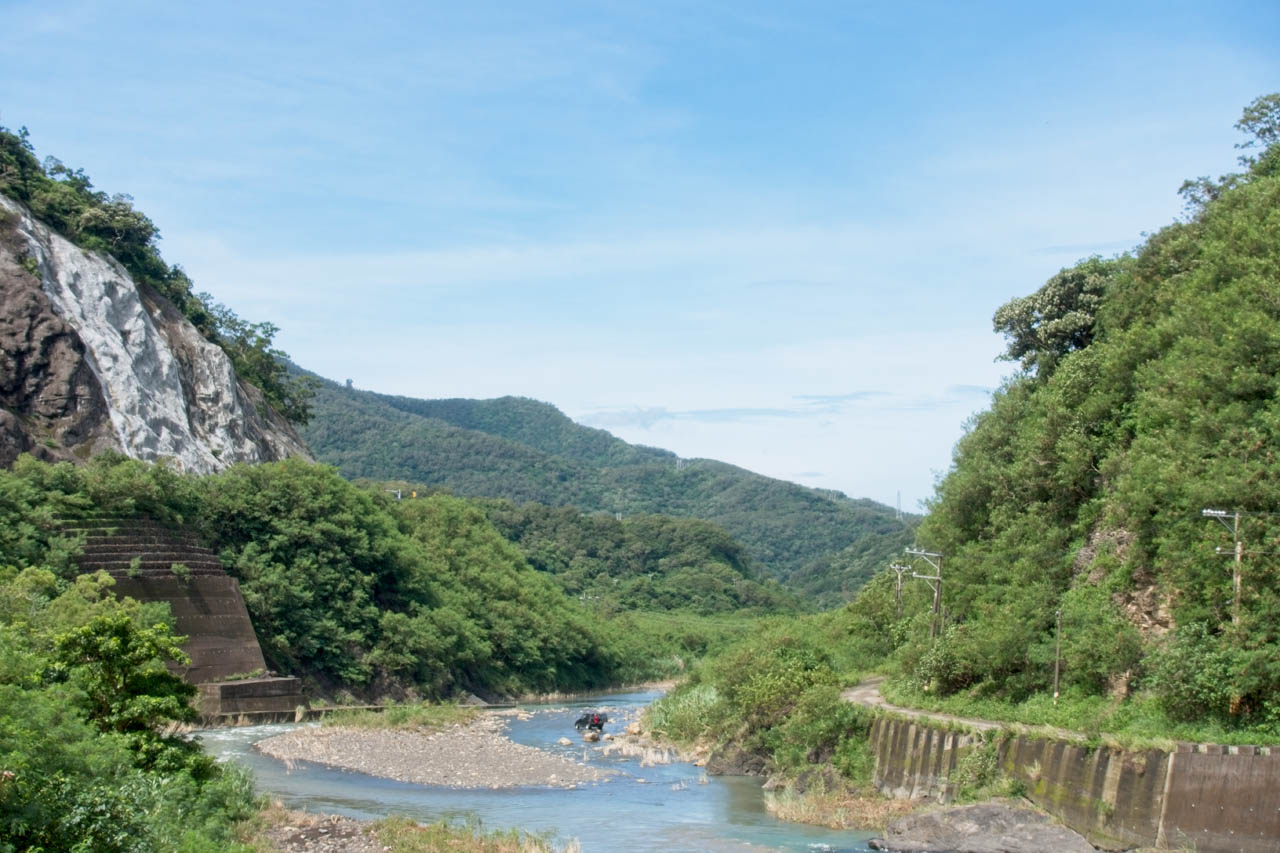
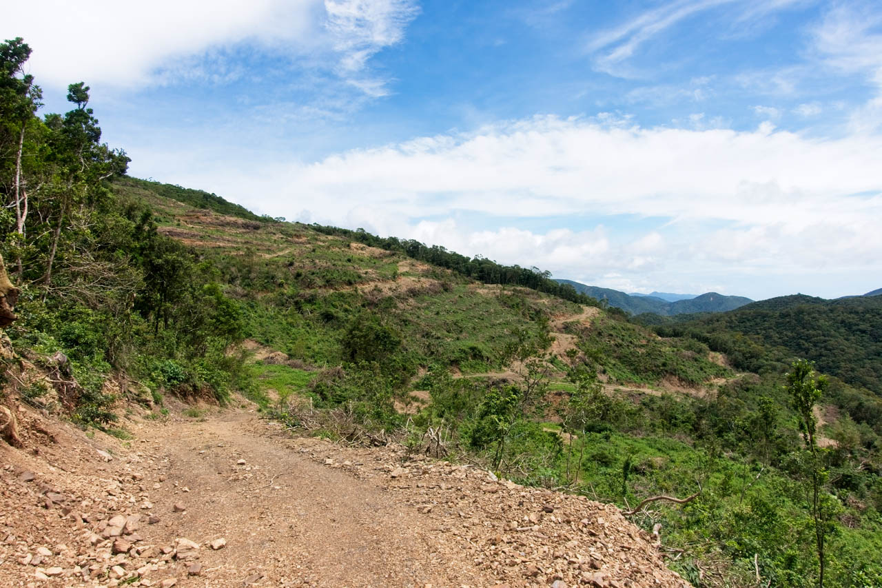
The road beyond the bridge is the typical mountain concrete road. There are one or two houses along the way, but for the most part it’s just farmland.
It’s not long before the concrete ends and it turns to dirt.

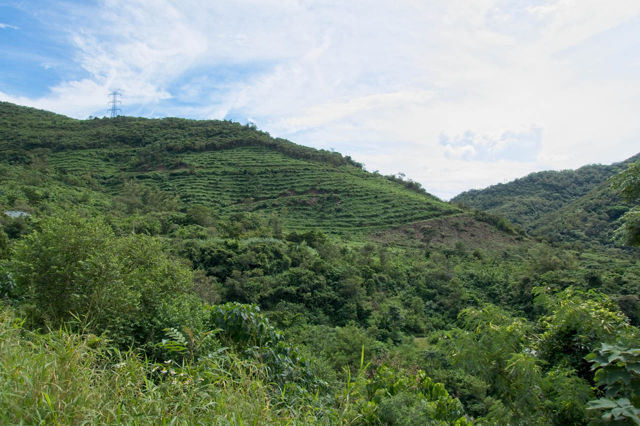
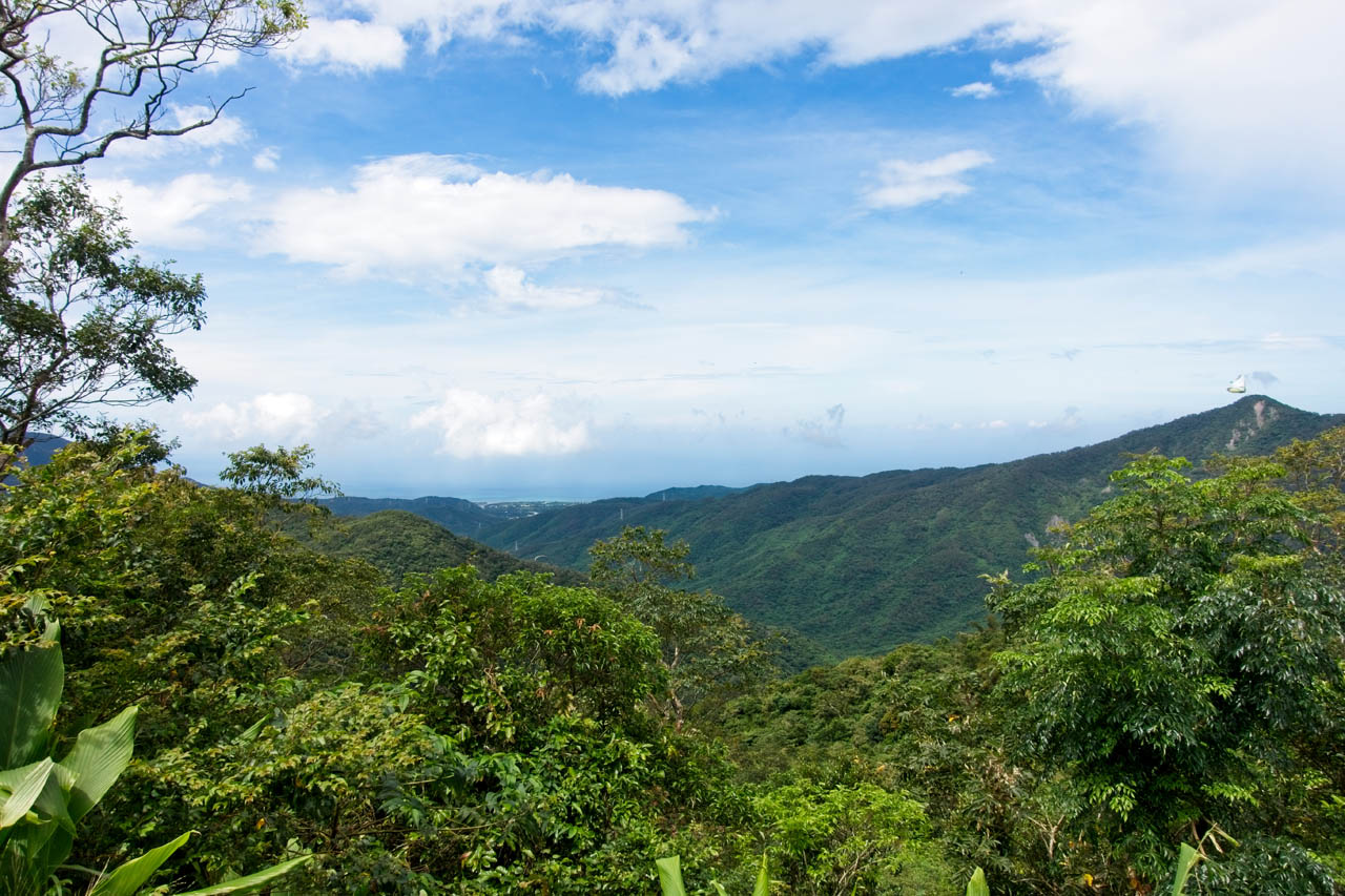
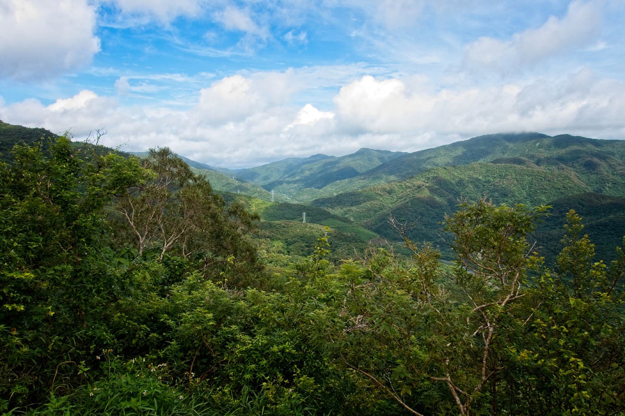
I had a lot of fun on the dirt. It’s a good 10.5 kilometers from the bridge to CaoBuHouShan. It was a little wet from the recent rains and there were plenty of muddy puddles, but I didn’t have any trouble driving that distance. The trail was in decent shape for the most part…
…and there were nice views along the way.
Along the way I came across an excavator.

I saw its tracks several times on the way up. Later, near the end of the trail I would see the results of its work. But before I made it, I found this dead Muntjac.

I was confused about what it was because it had hooves AND fangs – or more properly, canines. Later I learned that Munjacs have fangs. I also learned that you shouldn’t mess with these cute little “vampire” barking deer. They’re territorial and will fight off intruders in their territory. Though it seems that only covers Muntjac and some other animals. Whenever I’ve seen them, they run away. Regardless, I have a newfound respect for these chubby dog-like deer. At least, they look like a dog to me from a distance.
Almost to CaoBuHouShan – 草埔後山
Not long after the dead Muntjac I came to the freshly cleared farmland; obviously the work of the excavator I passed earlier.
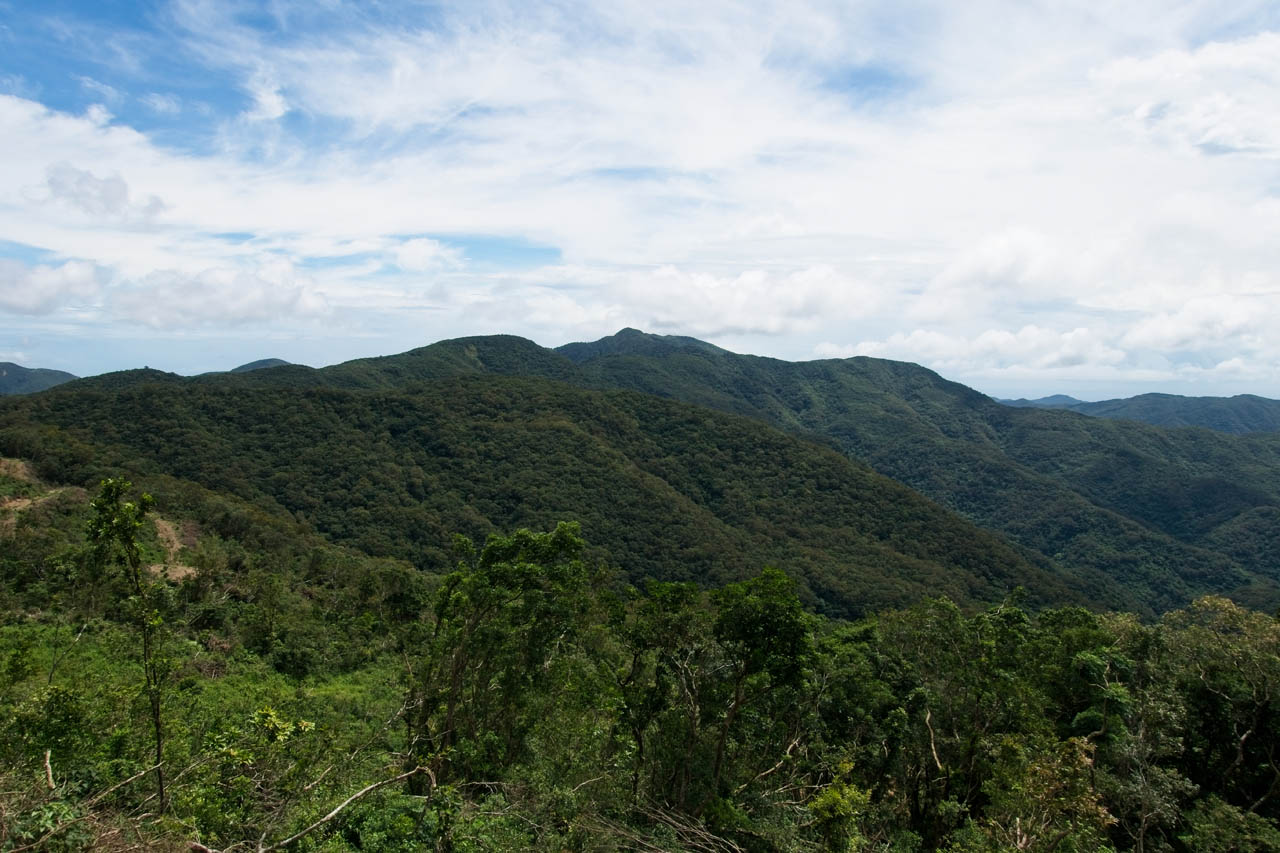
This maze-like patch of land wasn’t easy to drive, but my bike could handle it. Somewhere up there I stopped to take in the views.
And took a bike shot. 🙂

I was really close to the peak but wanted to see if I could push all the way to the top on my bike for once – and I almost made it. I got within 500 meters of the peak when the road became mush.

It hardly looks menacing, but this road was really soft. So soft in fact, that my tires started digging in and spinning.

I think I could have made it to the top if I really wanted to, but I would have tore the shit out of the road and made some terrible ruts. As close as I was, why not hike the rest of the way? So I did.
And the hike wasn’t so bad really.


I reached the peak in short order and found some type of solar powered antenna.


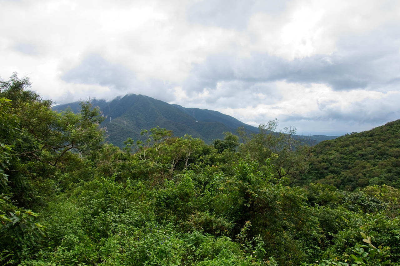
There appeared to be some space for parking nearby. I searched for the triangulation point, but couldn’t find it. You can see there’s a bit of a view from the top, but the nearly overcast sky is hindering the view.

Just above the parking area where one of the antenna’s anchoring cables disappears, was an overgrown plot of land. I thought this might be where the marker was located.

A quick search and a bit of grass clearing revealed the CaoBuHouShan 草埔後山 triangulation point.


There wasn’t much of anything to see in the area. The only thing I found was this wooden “thing” attached to a tree.

Whatever was written on it faded away long ago.
I took my usual peak picture and then busted out some food.

I wasn’t really tired but was forced to rest when it started to rain a bit. Thankfully it wasn’t heavy and it didn’t last long. When it stopped, I hiked back to my bike without incident.
The Road to BaShiMoShan 巴士墨山
The new rain didn’t affect my ride down to BaShiMoShan at all. It was smooth riding. Along the way I passed by a type of older SUV blocking the road. I saw a man off in the distance doing something in the brush. There was a man in the vehicle who drove it to the side a bit so I could pass. I only mention this because of the look on his face when I passed to say thanks. It was the guiltiest look I’ve ever seen. It said, “We’re doing something illegal out here and didn’t think anyone would be out here on a Tuesday. I hope you’re not going to make trouble for us!” I have no idea what they were up to, but I’m positive it wasn’t legal. Anyway, what was I going to do?
The turnoff to BaShiMoShan was just past where these guys were parked. As soon as I saw it I knew this easy ride/hike was about to become difficult. It was still a double-track trail, but it looked far less used than what I saw on Google maps.

The trail was slippery, so I took it slow. At some point there was a lot of tall grass on the left track; I happened to be on the right track at the time. As I passed the grass I looked down and the left track disappeared from a small landslide. Had I been on that side, I would have had a heck of a high side crash and fall. 🙁
Down the trail was another place where the left track slid away as well. Only a motorcycle can make it on this road – or by foot of course. I considered stopping and hiking the rest of the way, but decided to push on.
The problems started on a 90 degree left turn. I thought it looked soft so I took the turn as wide as I could. It wasn’t wide enough. My rear tire slid down a bit and started spinning in the extremely loose dirt. It looked like this:

My bike was stuck and it took me a good 20 minutes of pulling, pulling, and pulling to get it in a decent spot so I could get it upright. I wasn’t about to try the turn again. I was close enough to hike the rest of the way. So I found a rock to do a kickstand pivot turnaround and found a nice spot under a tree to park it.
Oh! And I should mention that it started raining again towards the end of getting the bike back upright. 🙁 I took cover and waited it out. Thankfully it was short lived.
Hike to Road to BaShiMoShan 巴士墨山
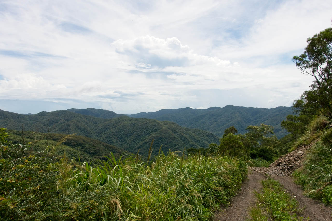
I was looking at about a 2 kilometer hike to the peak. The road was overgrown but not bad. The hike started easy enough.
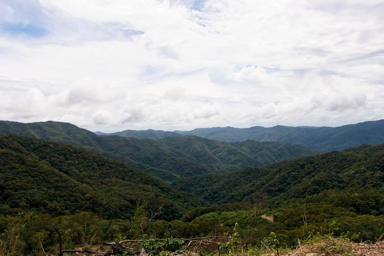
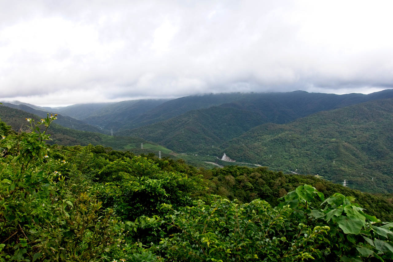
There were nice views all along the hike, including what I thought was one of the best views.
One problem I was having was all the tall grass. There was barely a trail to follow so I was pushing through a lot of wet grass.

I wasn’t wearing gaiters, so my pants and socks were slowly getting wet. It was only a matter of time before my feet were completely wet. But I was enjoying the hike despite it.
I pushed on. Here’s some of what I saw along the way.

This fungus and mold was kind of cool.

As I neared the top the grass got taller.

It’s hard to tell, but the grass is going to about my knee. My pants were now soaked. I could feel the water in my boots building up.

This is where it got weird. The track I was following showed they went straight up the side of a steep little embankment. It looked something like this.

There was no rope where they went up and it seemed impossible to climb without some trouble. Also, there was no trail to follow. I figured my best bet was to continue following the road up.
The Final Push
The road came to an abrupt end and there appeared to be a trail going into the jungle. I was only 200 meters from the top. So close, but so far! Why? Because I either lost the trail or it wasn’t a trail to begin with. The only thing I could do was point myself in the direction of the triangulation marker and push my way up.
This part wasn’t fun. My GPX track says it took merely 12 minutes, but it felt like much more. I used my machete to clear a path, but even that was difficult with all the vines in those cramped conditions. Luckily there were several game trails that helped me navigate the dense jungle. And after what felt like forever, I made it to the top!
Except…there was no triangulation marker to be found. I did find it after a quick search. But it was buried under tall grass. I spent the next 10 minutes manicuring the area.


There is no view at all here. It’s just a triangulation marker surrounded by jungle. As you can see the ground is wet. So too were my feet. 🙁
I took the time to eat, change my socks, and take a rest.
One point of interest is an abandoned aboriginal village on the other side of the mountain. There appeared to be a road that led to it, but with the rain and how I was feeling at the time, I decided not to try and visit it. I’ll save it for another day.
Before I left the peak I took my usual peak picture…this time a lot less energetic.

I was hoping to find an alternate, easier path out of there, but it was overgrowth after overgrowth.


In the end I decided to go back down the way I came up. But instead of the twisty-turny path I took to the top, I went down more or less in a straight line. It took all of 5 or 6 minutes.
The hike back to my bike was uneventful. My socks got wet again; I wasn’t going to change them again until down to the bridge.
The Ride to the Bridge
Usually this is where I end the story. But there was one little struggle I want to mention in case you’re driving a motorcycle when it’s wet. When I got back to the concrete road it was very slippery. I’ve ridden on that type of slippery road before and you’re guaranteed to fall if you don’t take it slow and easy. I made it down fine and back to the bridge just before dark.
After I changed my socks I noticed this pair of dogs hanging out on a rock just beyond the bridge.
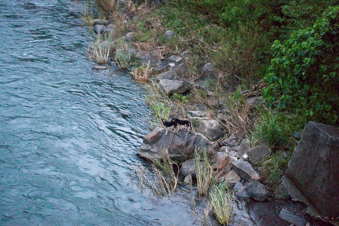
I called to them and they started barking but never looked up at me. Then they rock-hopped towards the bridge and over to the other side. I’m not sure what they were looking for but they seemed intent on finding it.
That marked the end of my trip. It was a good little trip despite the unforeseen problems. I’m not sure if I would recommend it unless you have a reliable means of transportation to get to CaoBuHouShan. It would be a long hike for not a whole lot if you opted to go on foot most of the way.
Date hiked: 2019 September 03
GPX Track Download Instructions: Click the track on the map to see the download link
Map to CaoBuHouShan 草埔後山


![[Valid RSS]](https://outrecording.b-cdn.net/wp-content/uploads/2020/03/valid-rss-rogers.png.webp)
Leave a Reply