

Coming off a two-day hike the week prior, I wanted to do something simple and mostly relaxing – but with the caveat that nobody else would be around. That’s no easy feat in Taiwan. Simple and relaxing hikes are where you find people, even on weekdays. And to make matters worse, I would be hiking on a Friday. So my options were slim. With that in mind, I remembered my failed hike to QiJiaXiShan – 七佳溪山 last year. That would be perfect!

I’m going to skip over some of the beginning of my latest attempt to QiJiaXiShan. I encourage you to read the above post from last year (click the picture). It covers most of the hike and has some info I’m not going to cover here.
The Ride
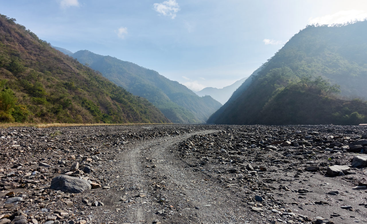
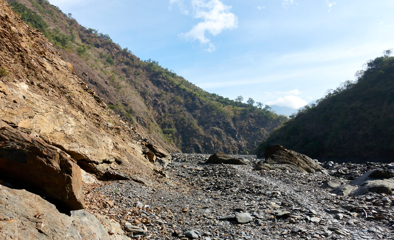
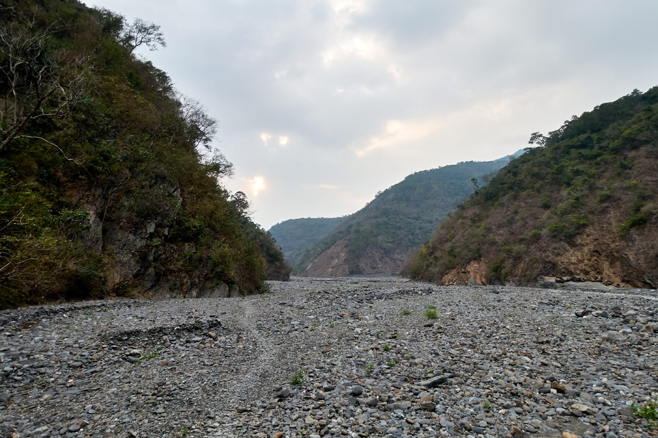
This time around I made sure to arrive at the riverbed a little earlier, as I ran out of time last year. Everything was looking good on my ride to the riverbed. But when I arrived, there were a few slowly moving vehicles making their way up the river on the only makeshift riverbed road! I thought they were going to slow me down because there wasn’t an easy way around them. But luckily I found an opening and quickly sped on by!
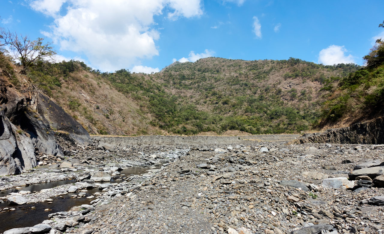
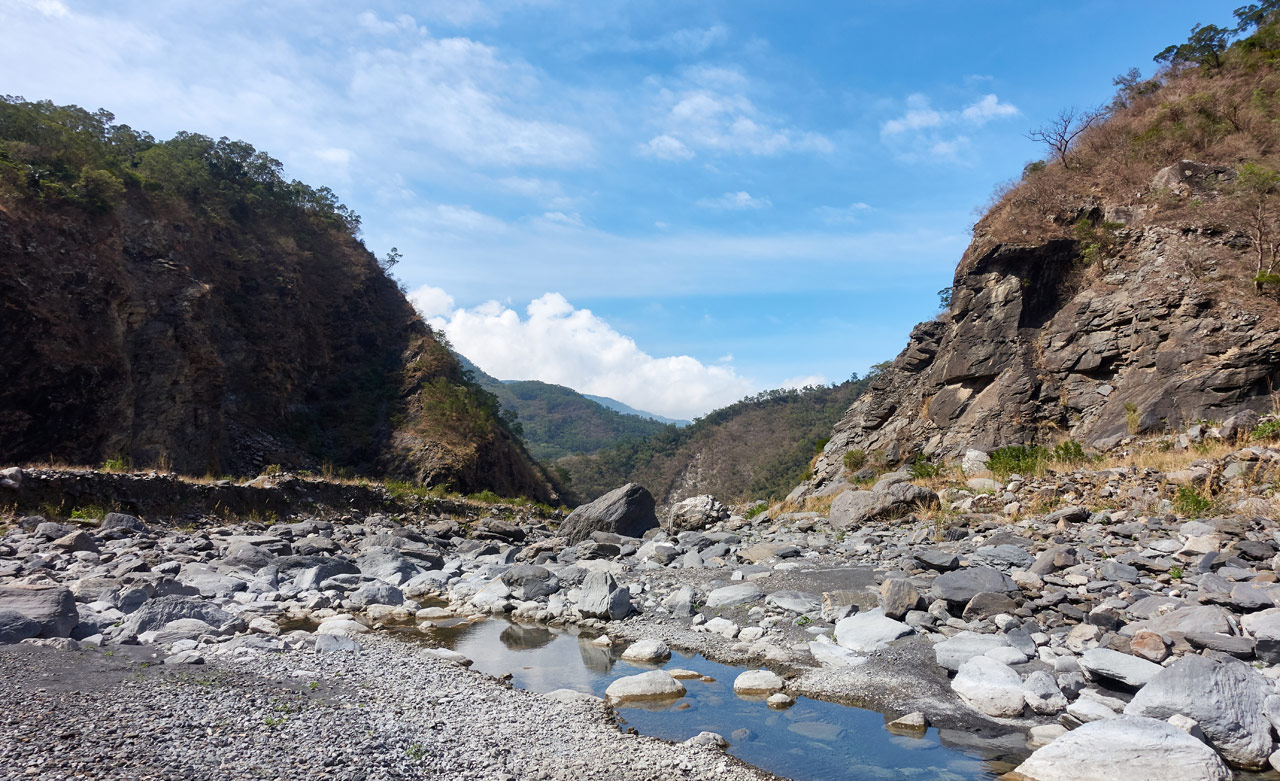
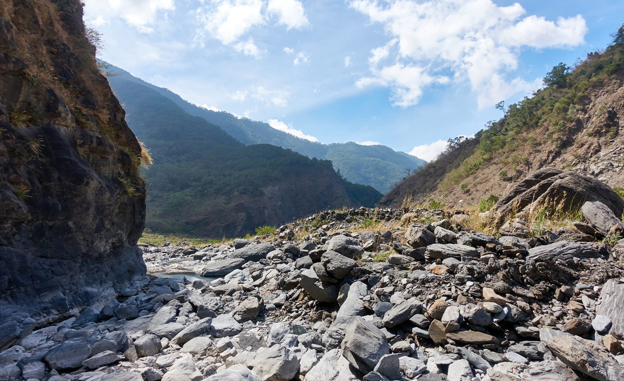
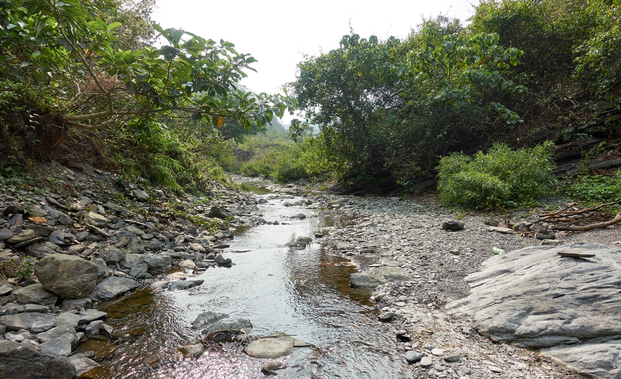
Wide open riverbed from there!
If you’re observant, you might have noticed the top of a little structure at the very right of the above picture. That’s a part of what I’m assuming used to be an old farm that was washed away, likely by typhoon Morakot. Here’s a slightly better shot from a couple years ago.
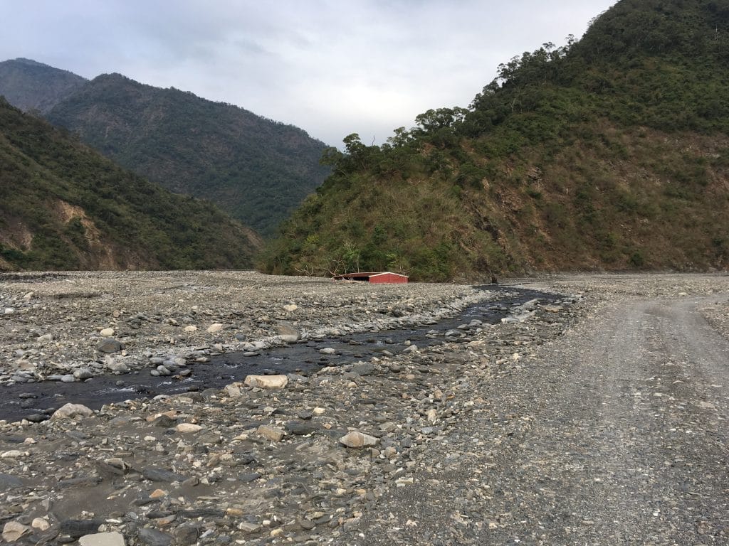
It’s mostly sunken by now, but doesn’t seem to be sinking any further.
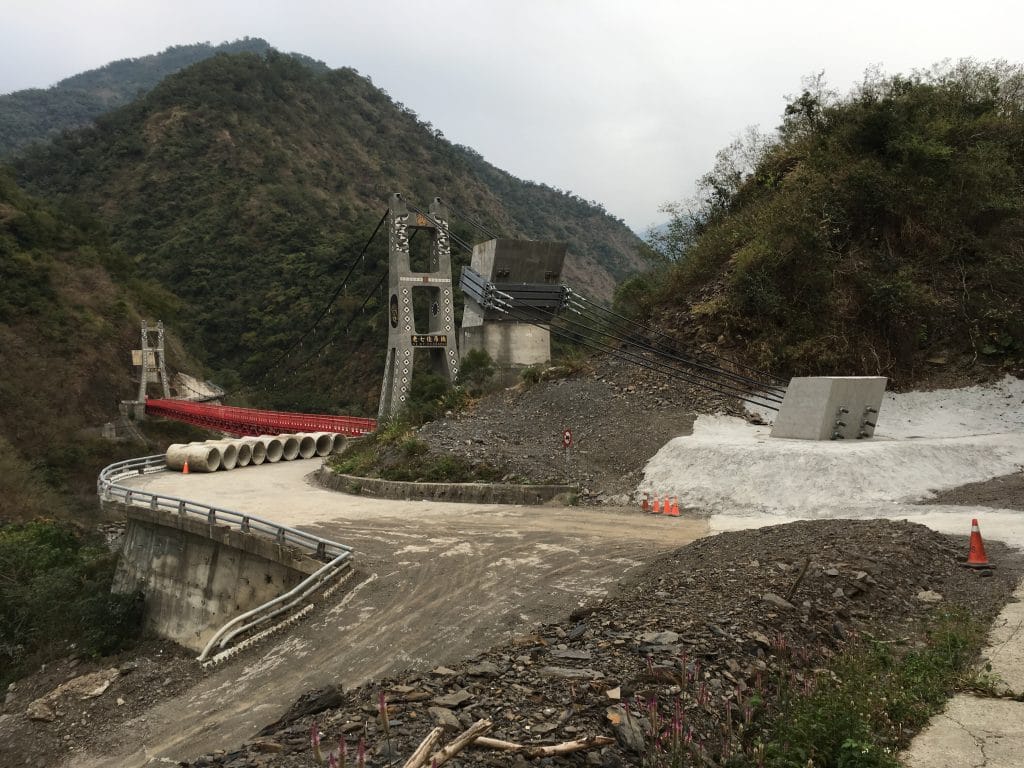
Following the river past that structure will take you to the famous LaoQiJia Suspension Bridge – 老七佳吊橋 that goes to LaoQiJia Village, a traditional style aboriginal village.
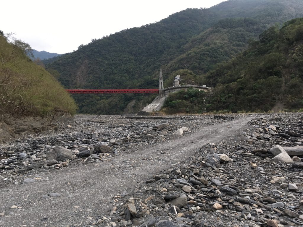
The road to the suspension bridge may or may not be there. Some years it’s there…some years it’s not. And if you’re lucky, one of two dirt roads up to either side of the bridge might also be there. If not, you’ll need to backtrack to the main road and follow it up and over the mountains to reach the bridge.
But the bridge was not my destination for the day.
Back to QiJiaXiShan…
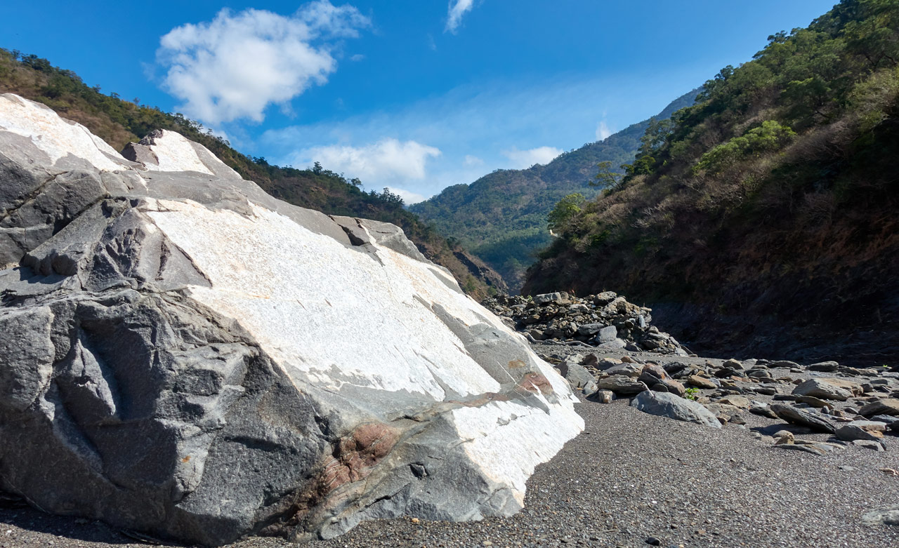
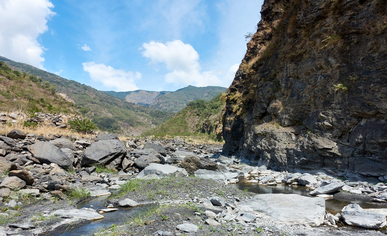
The riverbed road quickly disappears after a farm a little ways past the turnoff to the suspension bridge. What’s left is a single-track trail that snakes its way in every which direction on its way up the riverbed.
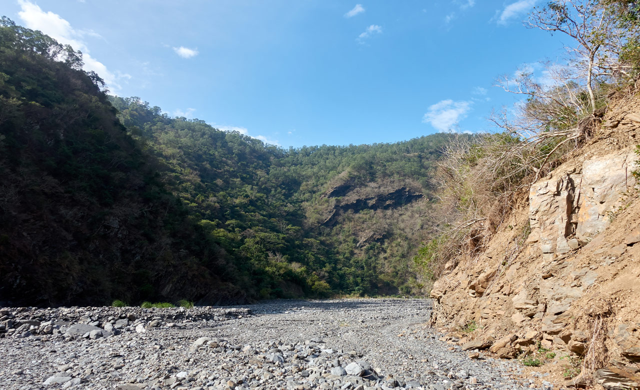
I’ll admit…this part was pretty fun. Riverbeds like this on an offroad motorcycle are REALLY fun!!
I got in about thirty minutes of riding before the trail ended.

This would be my first time to try out my new umbrella given to me by Six Moon Designs.
(And yes…I was alone. And yes…I posed for that shot. I offer no apologies) 😆

I’ll admit, I have never considered using an umbrella when hiking. Mostly because I hike trails that an umbrella would be unnecessary and hinder my movement. But a riverbed like this? Heck yeah! No brainer…I had to bring it. SMD has a hands-free kit that I forgot to ask for, but I found a way to attach it to my backpack shoulder strap. It fit perfectly. All I can say now is…I am a fan of umbrella’s! It kept me much cooler than my usual booney hat, and helped with the inevitable sunburn I always get. And it didn’t get in the way for the most part. I will be using it again.
Let’s Start the Hike
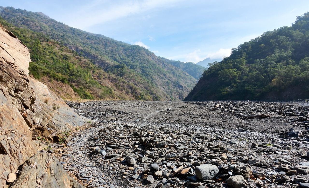
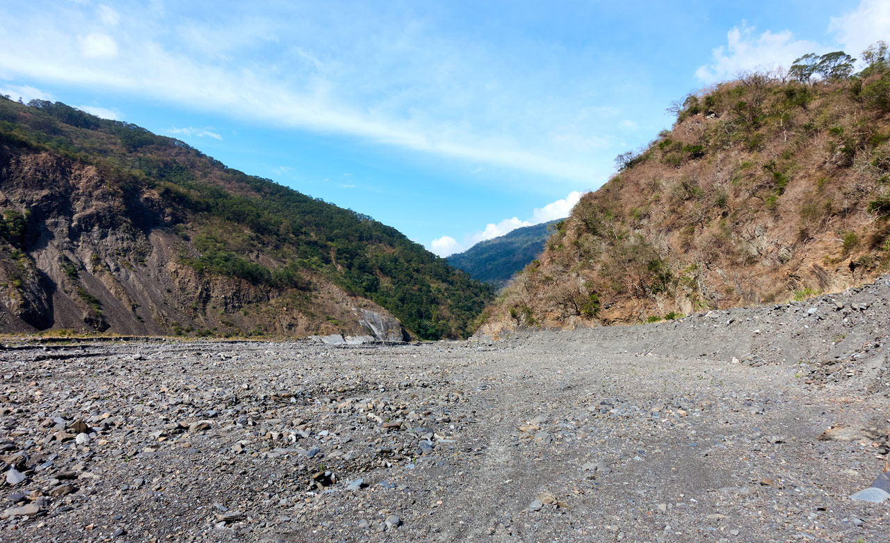
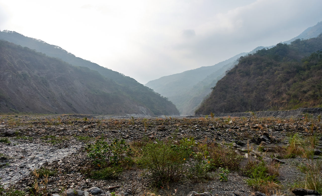
There’s not much to say about hiking a riverbed that’s wide open like this. You just go!
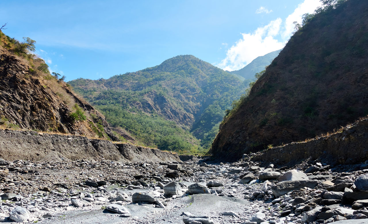
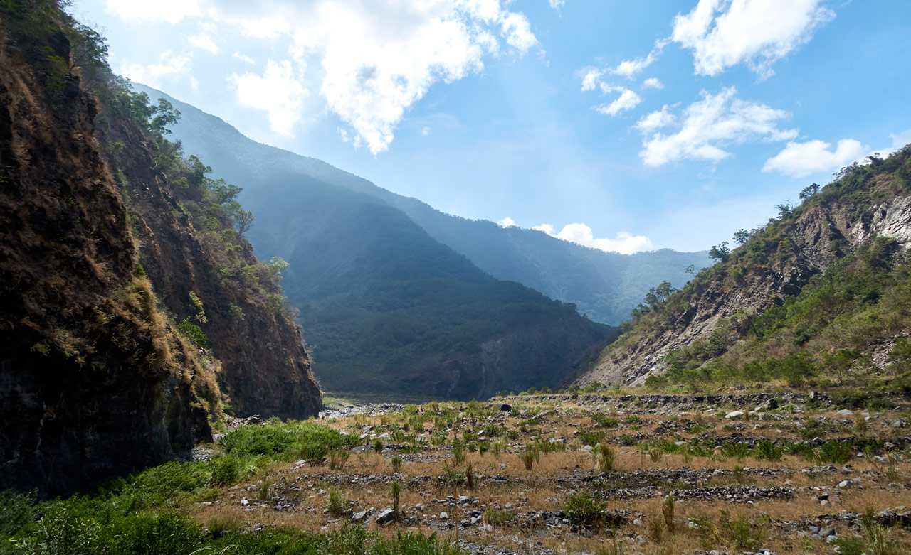
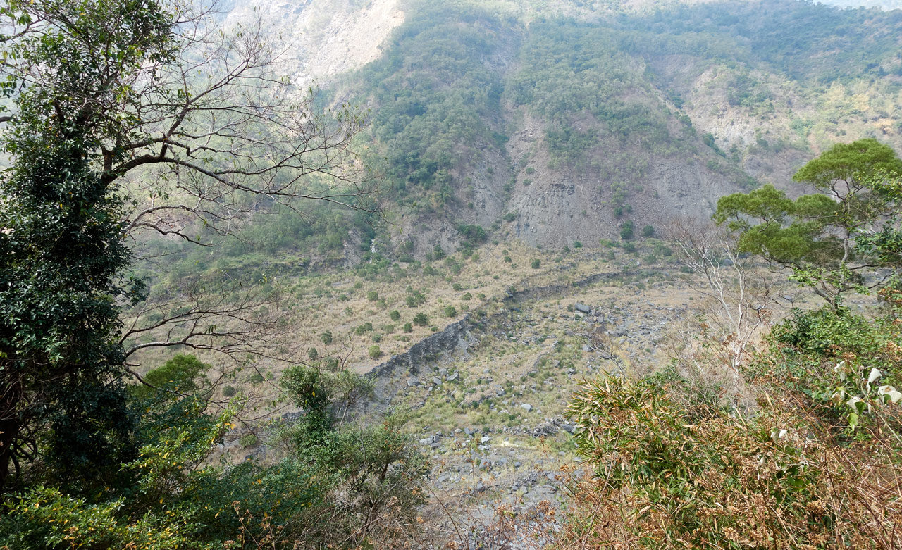
As you can see, the riverbed used to be much higher. All the debris from Morakot has gradually been swept down river. Protip: If you can get up to the top of one of those banks, it’s much faster. However, there may or may not be a way back down at the other end.
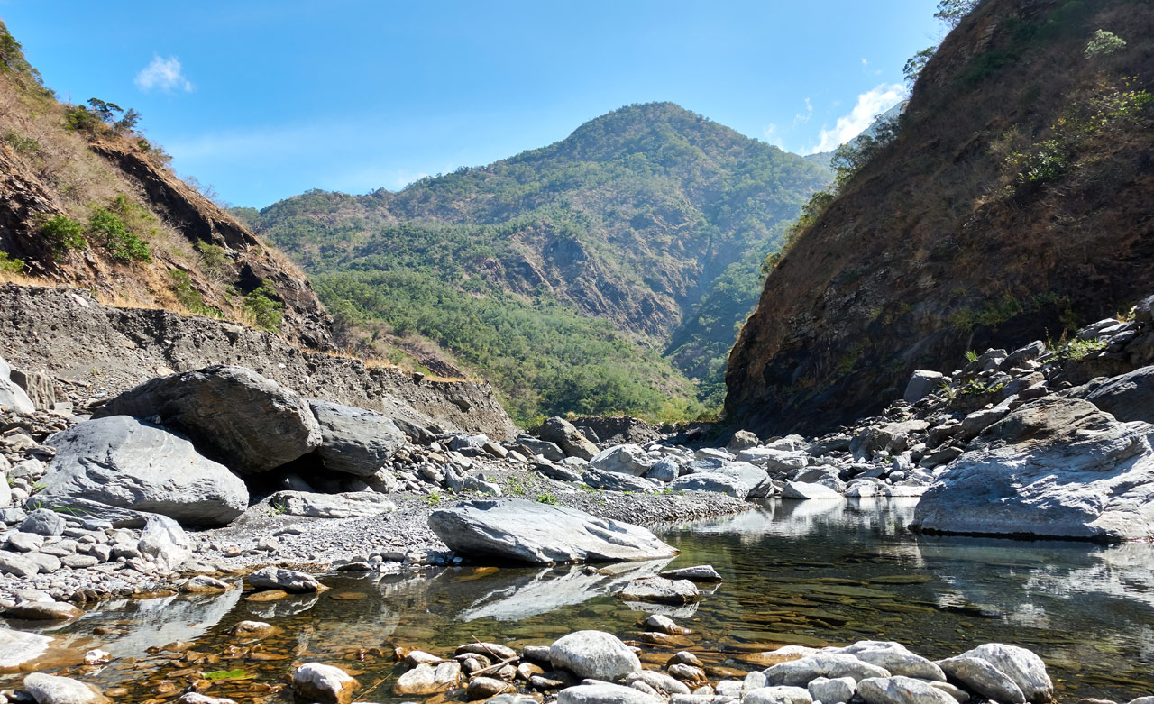
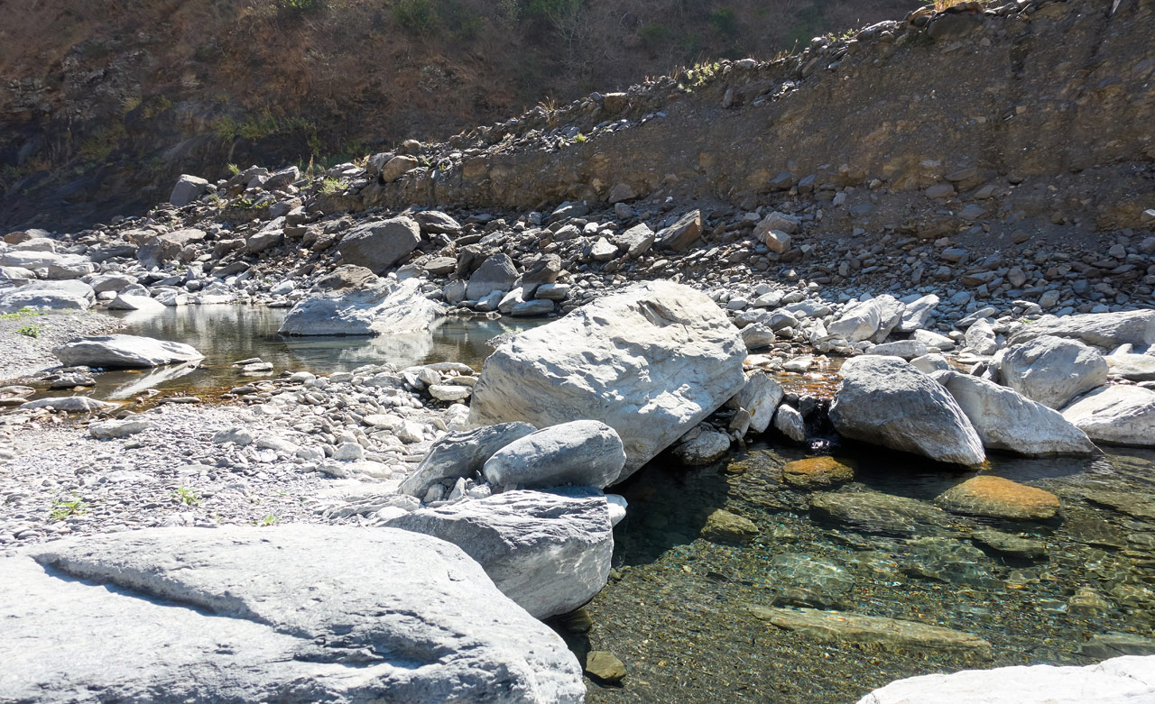
A little ways further after the above picture were several nice little pools of water with fish. If there were trees providing shade here, it would be a perfect spot to relax.
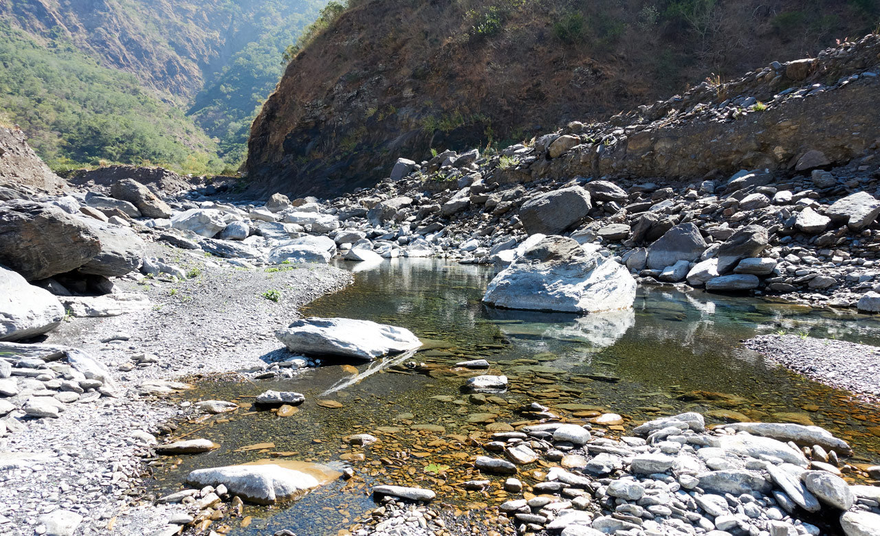
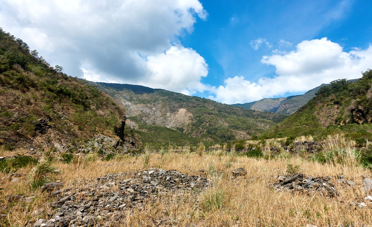
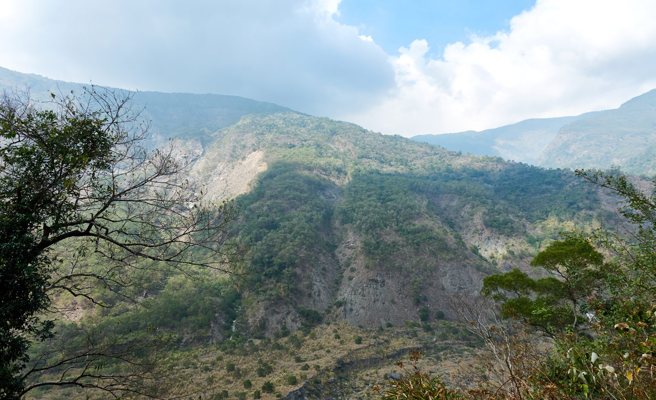
After rounding the bend, I got my first look (again) of QiJiaXiShan.
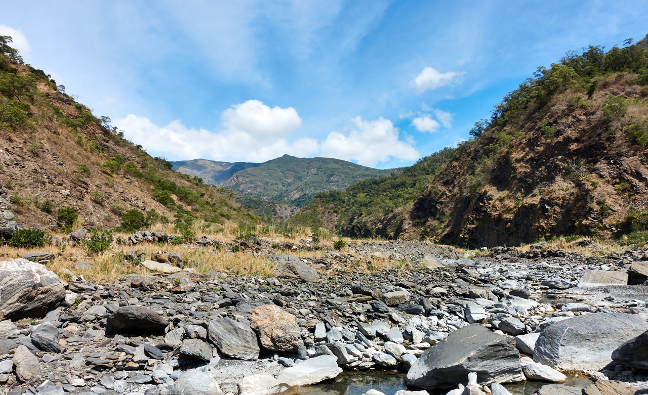
Here’s that picture again labeled…

QiJiaXiShan is that little “peak” about 70 meters above the riverbed. It looks much like anything else you’d see on a riverbed and is easily overlooked. Heck, it’s completely overlooked! If there wasn’t a triangulation stone up there, nobody would care.
In the background you can see DaWuCan 大武藏 and KaShan 卡山. I hiked those the week after this hike. And wow! That was one great hike! The views on the way to QiaShan are well worth the effort.
To the Trail Head!
From here to the trail head there isn’t too much to say. It’s slightly more technical, but it’s not that difficult.
As you near the trail head there’s a grass-filled shelf you need to climb up to. But first you have to cross the river (more like a stream at this point) at this lush, green area.

This place contrasts sharply with its surroundings. It looks nice in all of my pictures, but in reality it’s not a place I wanted to linger long. Perhaps it was the mossy rocks.
Tall Grass and Lonely Tree(s)
I climbed up to the shelf and made my way to the trail head.
It’s easy to navigate for the most part, but it can be tricky in spots. What happens is all the rocks get hidden by the tall grass. It becomes difficult to choose the best line through it all. More than once I found myself backtracking to pick a new route.
Looking back the way I came, you can see the ridge trail in the distance that leads to ShiKeJianShan 石可見山. That’s another great hike with spectacular views if you get lucky with the weather.
As I neared the trail head, a trail came into view.

I was immediately drawn to this tree and what shade it might offer. Even with the umbrella I was still hot at this point. As I neared, I realized it wasn’t one, but several trees in a cluster.
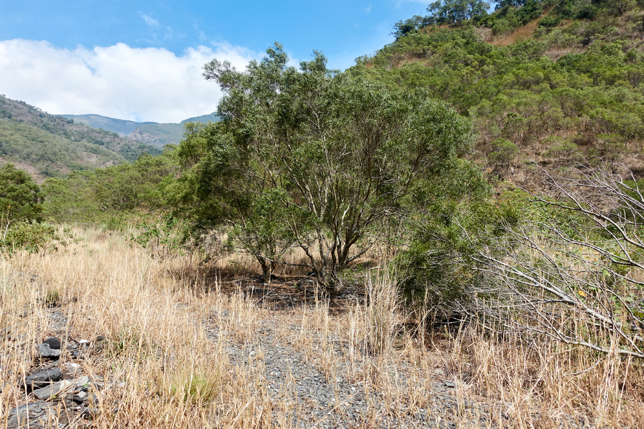
Judging by the discarded cigarette packs and other garbage on the ground, this must be a popular rest area for (most likely) local hunters. I say ‘most likely’ because other than QiJiaXiShan, there’s no reason for anyone to hike this far. And very few people hike to QiJiaXiShan, as you’ll soon learn.

The sun was almost directly overhead and I was tempted to stop, but decided to keep going. It’s really hard for me to just stop and take a break. I don’t know why. And that’s to my detriment. More on that next post…
About an hour and ten minutes after I started, I arrived at the trail head. I took this picture of the mountains opposite QiJiaXiShan.
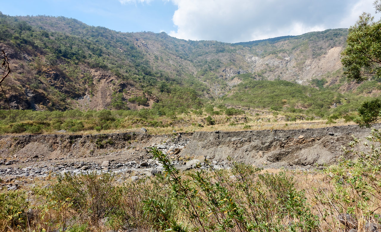
Look how high the riverbed used to be!
Trail Head
It didn’t occur to me to take a picture of the trail head this hike, but here’s one from last time.
Do you remember I mentioned that it’s about 70 meters elevation gain from the riverbed to the top? In a straight line it’s not much more than 150 meters distance. That doesn’t sound like much, does it? Well, it took me almost an hour to reach the top. 😥


There was just so much overgrowth and dead plants to contend with. It’s a good thing I sharpened my machete the night before!
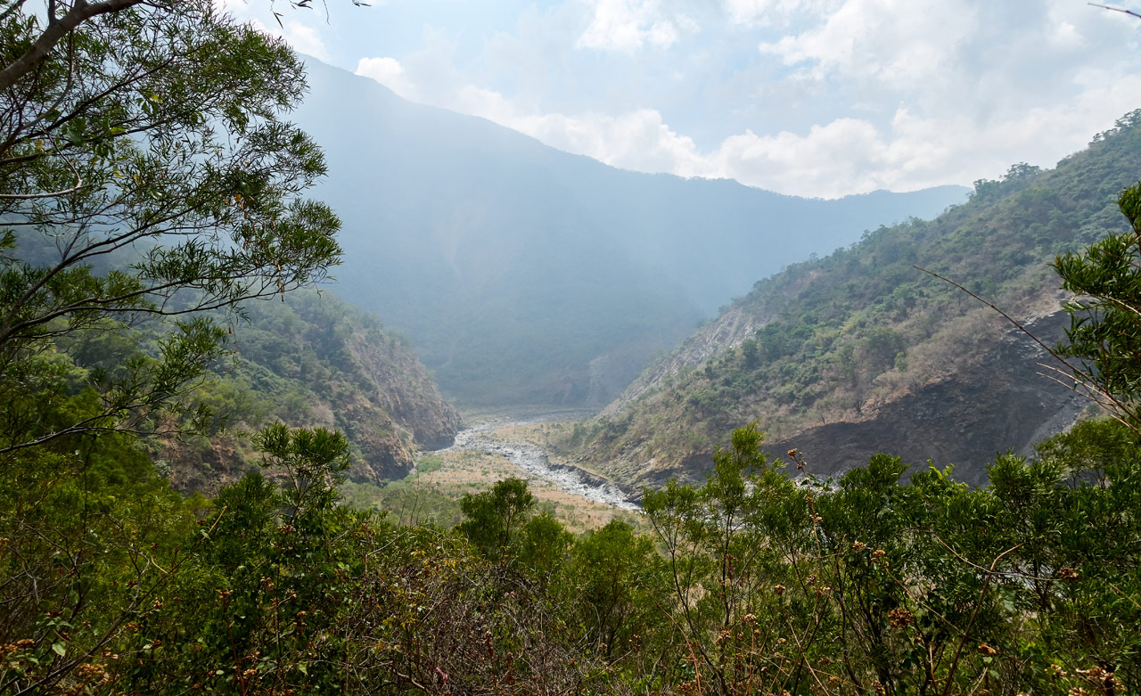
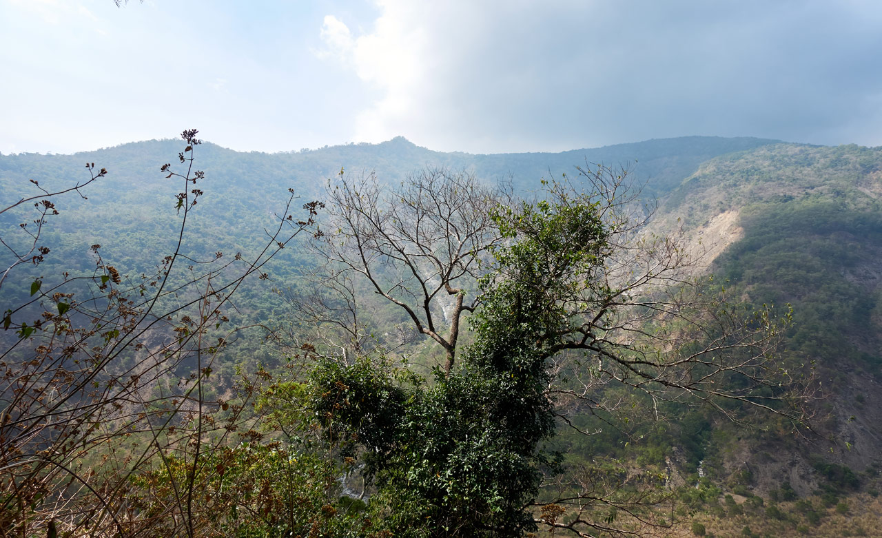
About halfway up offers a nice view of the riverbed and mountains from where I came. Unfortunately it was starting to get hazy.
Though I spent an hour climbing this section of the trail, I didn’t take many pictures. The last one I have is of this natural “rope” that couldn’t have grown in a better location.

The erosion in this section of trail was pretty bad. It would have been tough to climb up were it not for that root…or maybe it’s a liana vine.
The Top
When I reached the top it looked pretty much how I had expected.


Trees were down everywhere and vines blocked the way. Thankfully I had only a short distance to hike to reach the triangulation stone. But I had one problem…
I COULDN’T FIND IT!!!
For real, I couldn’t find it. I followed a GPX track to its supposed location and found nothing. I searched the area and found nothing. It was simply not there. But I knew it had to be there…so I searched more. And BAM!
I FOUND IT!

*sigh* I had my work cut out for me. Let’s call that the “before picture”.
And this the “after picture”.

QiJiaXiShan – 七佳溪山
This is the part where you’d expect me to say how crappy this little peak is. Or how it was so not worth all the effort…the chopping, the clearing…the sweat, blood, and tears. But no, that wasn’t the case at all. I didn’t cry. 😆
But for real, it was totally worth it. There was this perfect wind blowing through; the sun was out but the trees offered just the right amount of shade. And the views…the views were pretty darn good.
The moment felt peaceful and perfect.
The only regret I had was that I didn’t bring my camp chair. It would have completed this rare-for-me perfect visit to a mountain peak.
Now unfortunately after all that buildup, all I can offer you are these pictures I had taken well after I had arrived. I saw clouds rolling in over the mountains and quickly snapped these before the whole area became less picturesque.
You’ll have to take my word for it; the views were nice and the whole place just felt great.
Exploration
While I was searching for the triangulation stone earlier, I came across the ruins of some structure. Later I went back for a closer look after a decently long break.


It was carved into the mountain near the ledge. I can’t even begin to guess its former purpose. But as of now, it appears it’s just a place for animals to hang out.


There was just this one remnant of a structure. But off to the side were a few more stacked stones.

The main structure from a different angle.

Across the river–about one kilometer in a straight line–is the remains of the abandoned aboriginal village Kuljaljau. Eighty years ago it was home to more than 300 households. I’d put my money on this structure being connected to that village. But I could be wrong. From the maps I’ve seen, I believe there used to be an old mountain road that went right by this area. These stones could very well have something to do with that road instead.
I could ask someone who lives at Laoqijia village. But whatever…let’s just leave it as a mystery.
Pictures and Departure
I stayed at the peak a bit longer to enjoy the moment. Then went and took my peak picture.

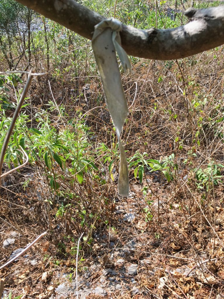
Usually there are other random items around the area that hikers have attached to trees and whatnot, but there was nothing of the sort here. Only some old cloth ribbons and the triangulation stone. I’d say this is one of the loneliest peaks as far as “peak décor” goes.


After the pictures I left. I looked back one more time to savor the moment.

It took all of twenty-five minutes to slide, I mean hike back down to the riverbed. This time I did stop at the cluster of trees to enjoy the shade. From there, my next target was a series of mountain streams that converge to form another perfect spot to relax. This is located on the way back to my bike.
Three Streams
I didn’t stop much for pictures, but it still took a solid forty minutes to get there from the QiJiaXiShan trail head.

I was greeted by garbage from thoughtless “riverbed leisure seekers”. (calling them ‘people’ sounded boring)


This is pretty common here from what I’ve seen in the past. Oh well…it didn’t spoil the area.
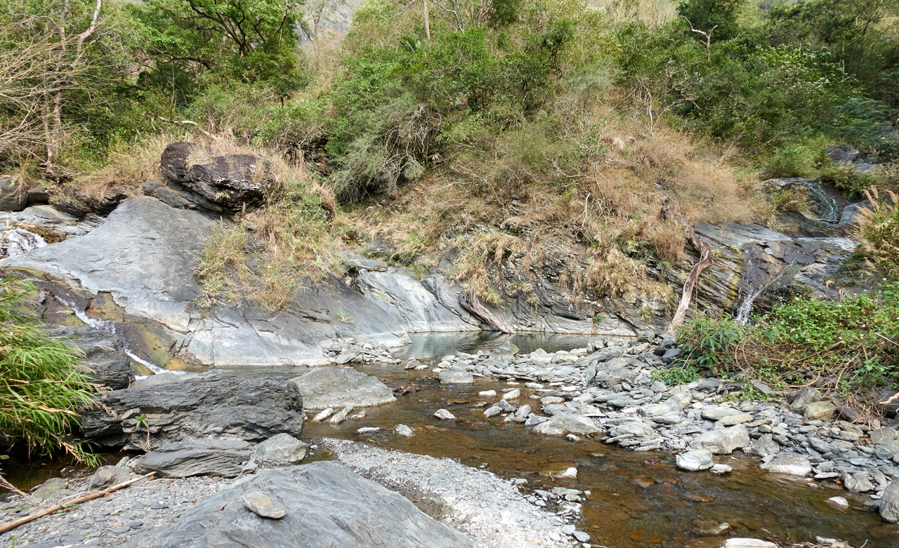
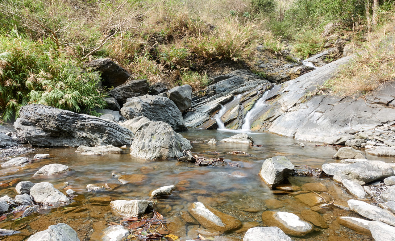
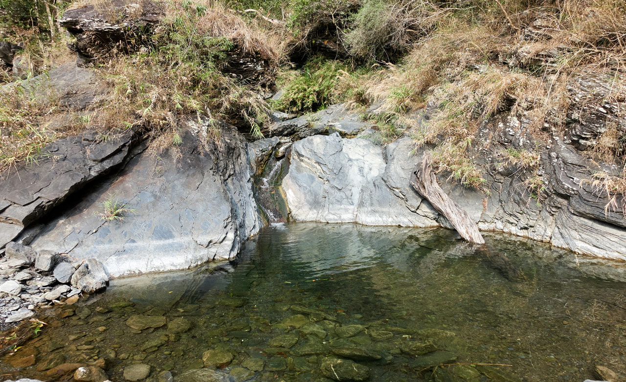
I’m not sure if you can make out the three streams in the above picture. One to the left, one to the right, and one in the middle. The middle stream is somewhat obscured. Here they are close up.
Left Stream
Middle Stream
Right Stream
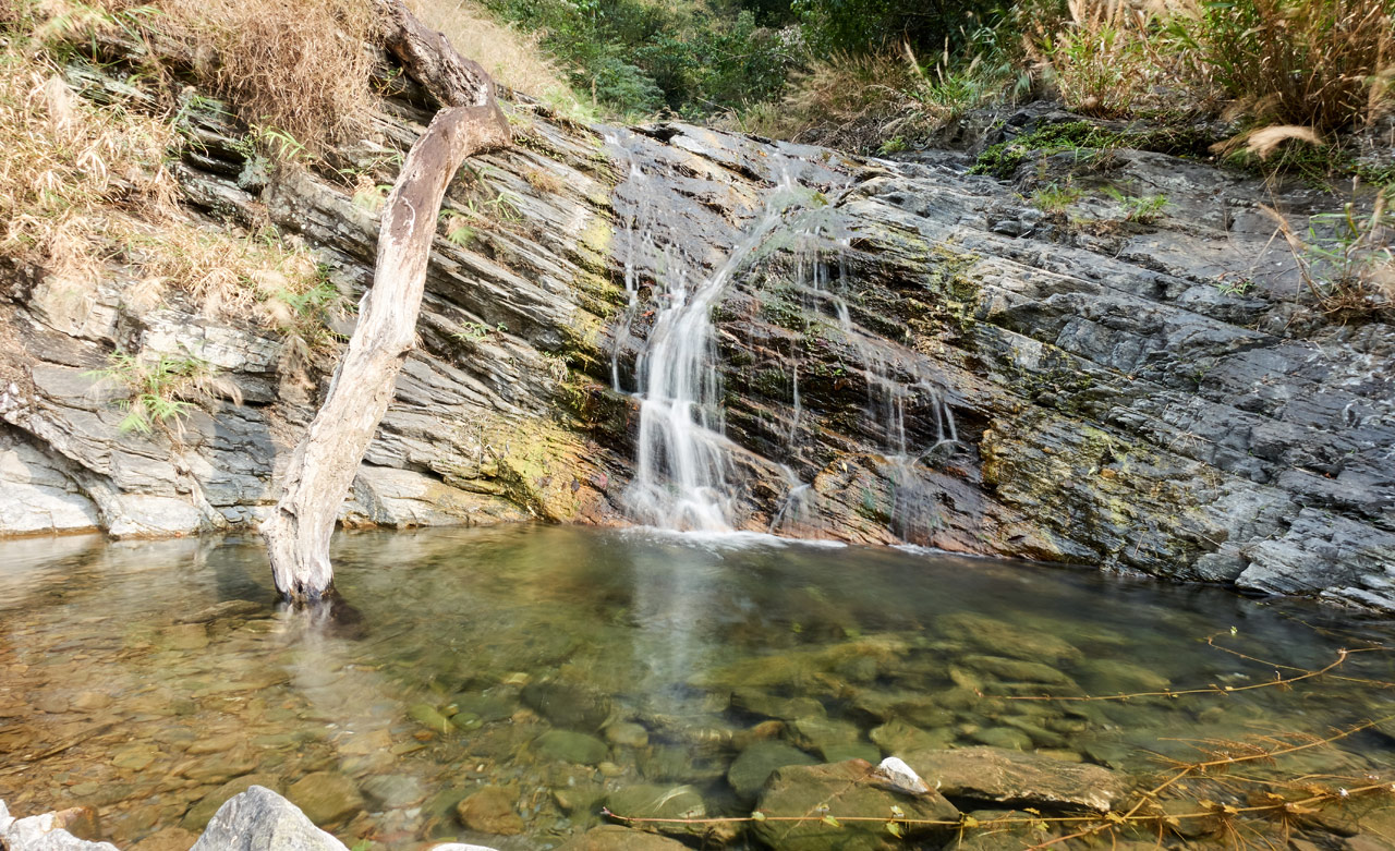
There are normally fish, crabs, and frogs all around here. But that day I only saw the fish.
I dare not call these waterfalls, but I guess MAYBE they technically could kinda sorta be called waterfalls? It’s a stretch, I know. I want to come back here during the summer months to see what the water flow is like. As the youngins might say…I bet this place is LIT in the summer! 
Anyway…I rested here a bit…got bored and took a selfie…

Then I made my way to a THIRD destination. Yes, there is more!
A for REAL Waterfall
If you read my post from the last time I was out here then you know where my next stop is. There’s a hidden waterfall located pretty close to where I parked my bike. But first I needed to hike the near solid hour to get there.
I left the comfort of the shaded stream area…

…and walked back into the unforgiving heat of the open riverbed. I took exactly zero pictures from here to the waterfall; that is, except of this one flower. Enjoy!

Oh yeah…and this abandoned boot sole that must have one heckuva story!

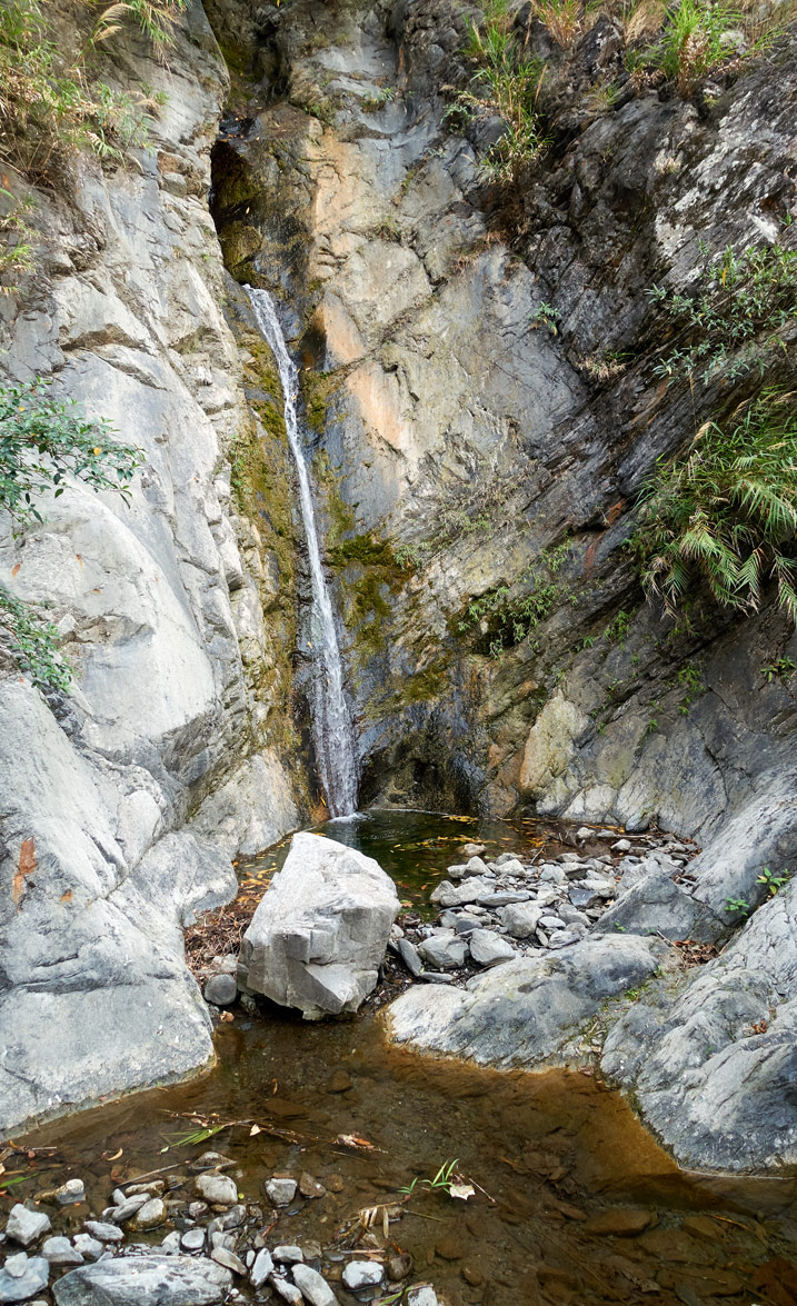
This sole was not too far from the waterfall. A couple minutes later I had arrived.
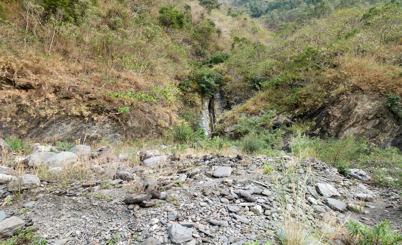
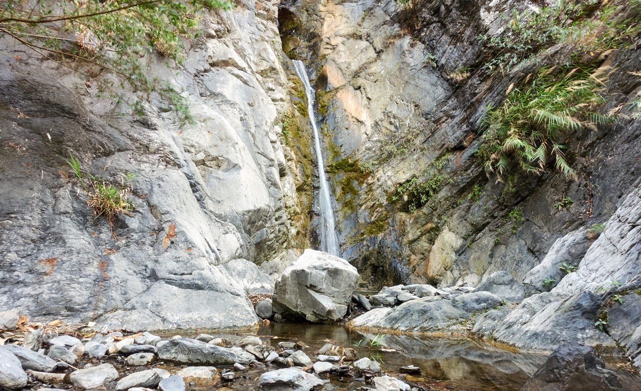
The waterfall is easy to see when you’re this close. But walk a little further out and it’s difficult to spot.
Speaking of which…can you spot my bike?
So this waterfall is actually TWO waterfalls.
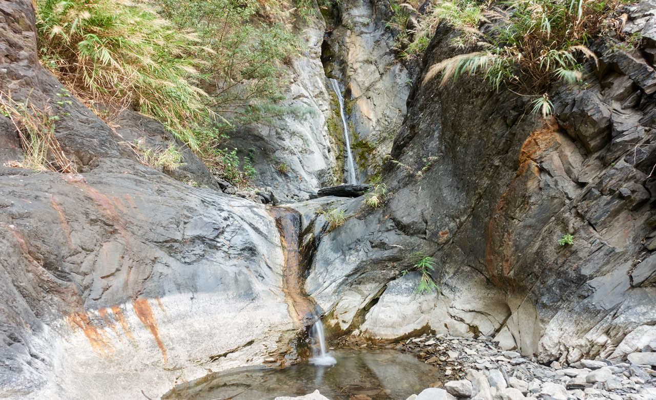
The first time I was here years ago, the bottom part wasn’t here. It was completely covered by the higher riverbed. I could walk right up to the top tier. Now you have to climb up the left side to reach the top.
Here are some shots of them.
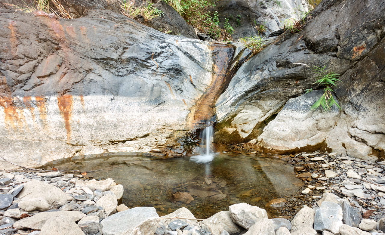
There are also fish and crabs here. I think some frogs and the occasional bird too. The second tier is pretty well covered from the sun and is cool when the weather is hot. This is one of my favorite stops when I’m out in this area.
Conclusion
And that’s pretty much it! I hiked back to my bike and followed the trail back to the main road before dark.
I gotta say…this was damn near the perfect hike for me! It’s not often that I enjoyed a hike enough to want to do it again. QiJiaXiShan and the riverbed leading to it certainly made the cut.
I highly recommend this hike with or without the QiJiaXiShan peak. You could simply hike the riverbed, stop at the two water areas, and skip the peak. That would leave you with more time since you might not have a motorcycle that could drive you as far as mine did. I’d estimate an hour and a half hike from the main road to where I parked.
Date hiked: 2020 February 28
GPX Track Download Instructions: Click the track on the map to see the download link
This map includes the route to the streams and waterfalls


![[Valid RSS]](https://outrecording.b-cdn.net/wp-content/uploads/2020/03/valid-rss-rogers.png.webp)
Leave a Reply