• Home
  • Taiwan Hiking Map
  • Taiwan Off-Roading
  • About
    • About Me
    • Liability Disclaimer
  • Contact
  • Language: English
    • English English
    • 中文 (台灣) 中文 (台灣)
OutRecording
Menu
  • Home
  • Taiwan Hiking Map
  • Taiwan Off-Roading
  • About
    • About Me
    • Liability Disclaimer
  • Contact
  • Language: English
    • English English
    • 中文 (台灣) 中文 (台灣)
Home  /  Hiking  /  Ride and Hike to Weiliaoshan 尾寮山 – Via Back Trail
Weiliaoshan - 尾寮山-back trail Peak area
20 April 2018

Ride and Hike to Weiliaoshan 尾寮山 – Via Back Trail

Written by Glenn
Hiking hiking, Shaxi Lindau Trail, Weiliaoshan, 尾寮山 Leave a Comment

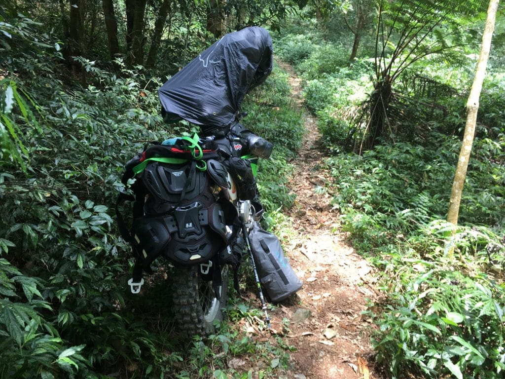
I took a ride on the Shaxi Lindau yesterday to scout a possible trail up to Jingdashan 京大山 for next week’s hike. The ride alone is fun, but I’ve done it a number of times. So I thought I would hike up to Weiliaoshan 尾寮山 while I was out there.

The trail is well established, though I doubt it’s used much. The trailhead is in the second half of the Shaxi Lindau side, past the (unmanned) guard station. There’s a chain to prevent entrance, but a well worn path around it says nobody cares. At one point a large rock was placed there to prevent vehicles from going around, so some presumably locals with chainsaws cut an entirely new path around it. If you were to take a car, forget it. So to get to the trailhead, you would have a very long hike. I think most people would just rather start on the Maolin side. (Note: As of 2020 you are free to enter the back half of the trail. There is no longer anything blocking the road and there is no guard.)

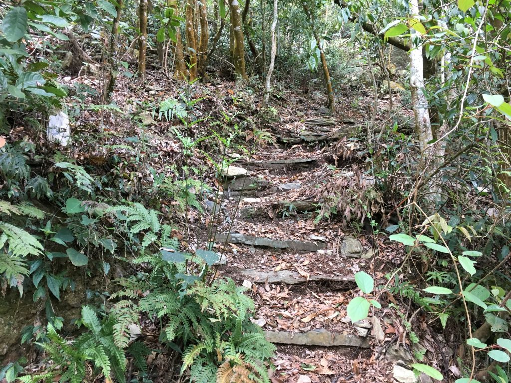
Getting back to Weiliaoshan, it was a very easy hike. Only the last 300 meters had any decent elevation change. The rest is very gradual.

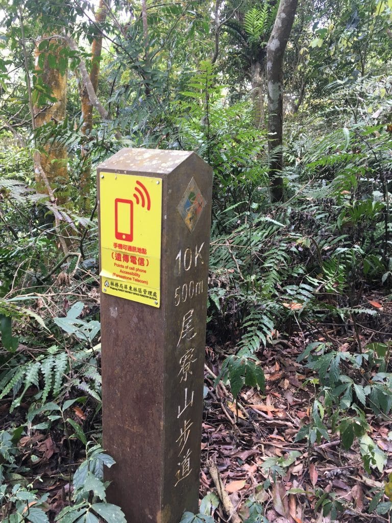
Along the way there were these markers that promised cellphone coverage. For the most part I did have coverage.

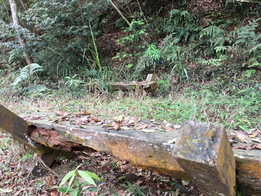
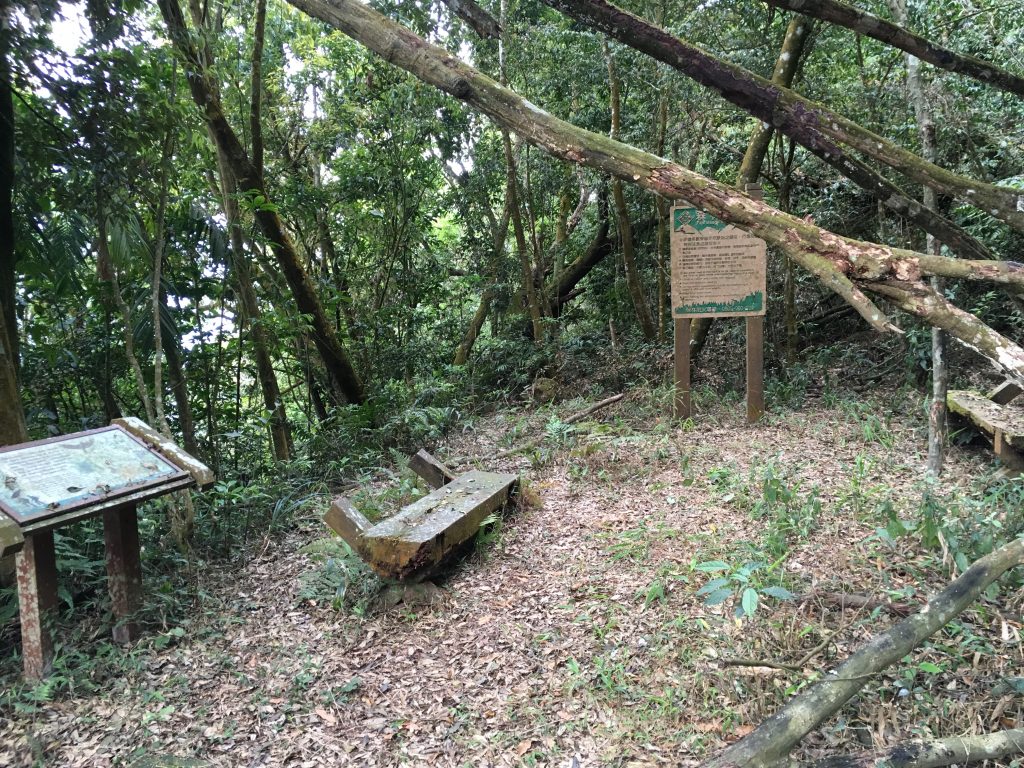
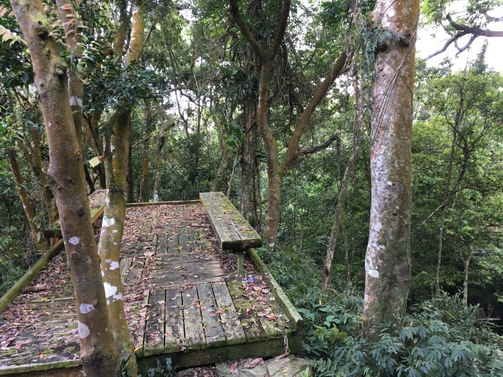
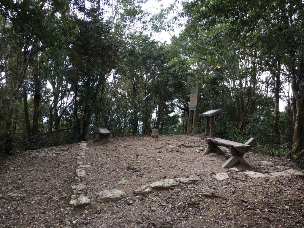
About halfway up there were some benches nearly reclaimed by nature. As well as a little rest area further along.

About 400 meters before the peak is when the climbing started.

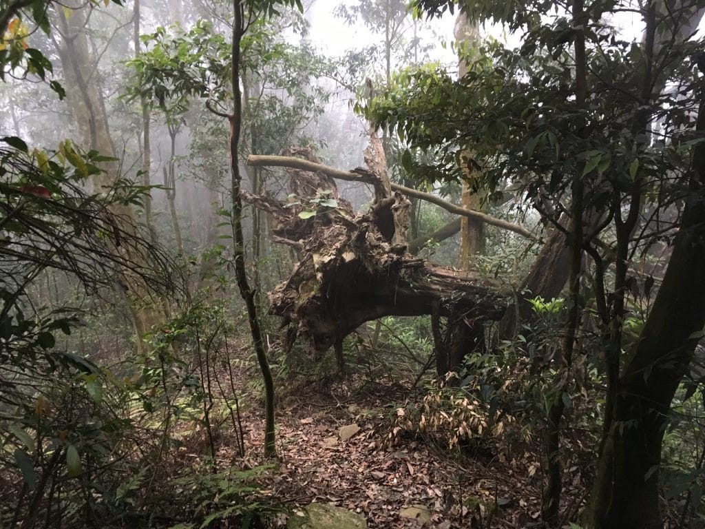
It wasn’t long before I came to an old pavilion. I’ll admit I was a bit nervous walking on this thing. Turns out it still has some life left in it.

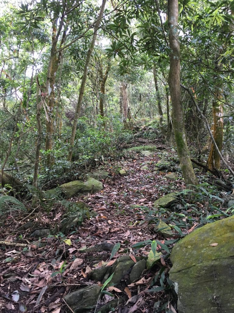
From here things went up and up.

It was only about 300 meters to the top from the pavilion.

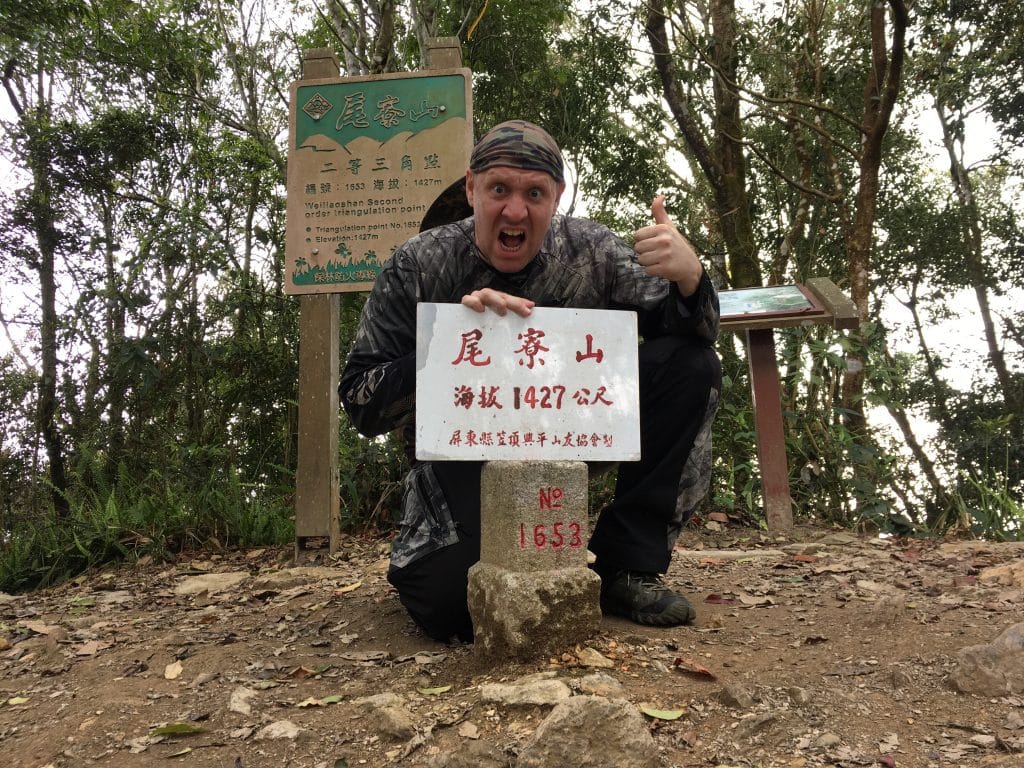
I was alone the entire time. So time for a dance…

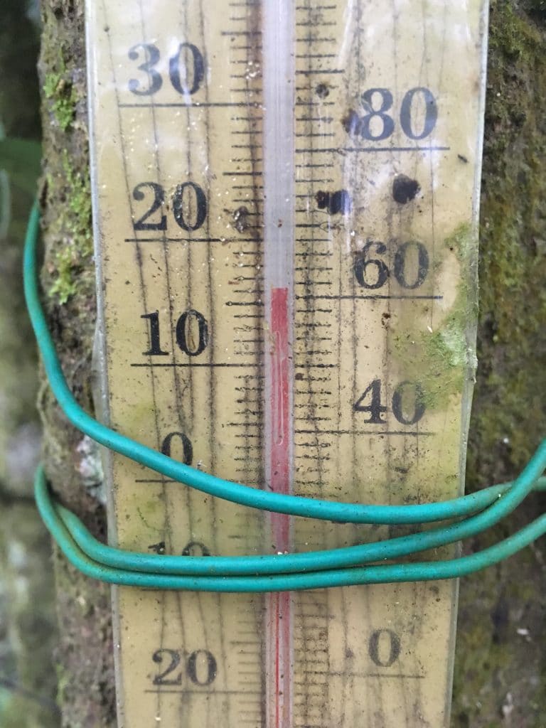
I hung out up there for an hour or so. The clouds started rolling in and before long I was covered in fog. The temp did drop a bit. 16 Celsius if this thermometer can be believed.

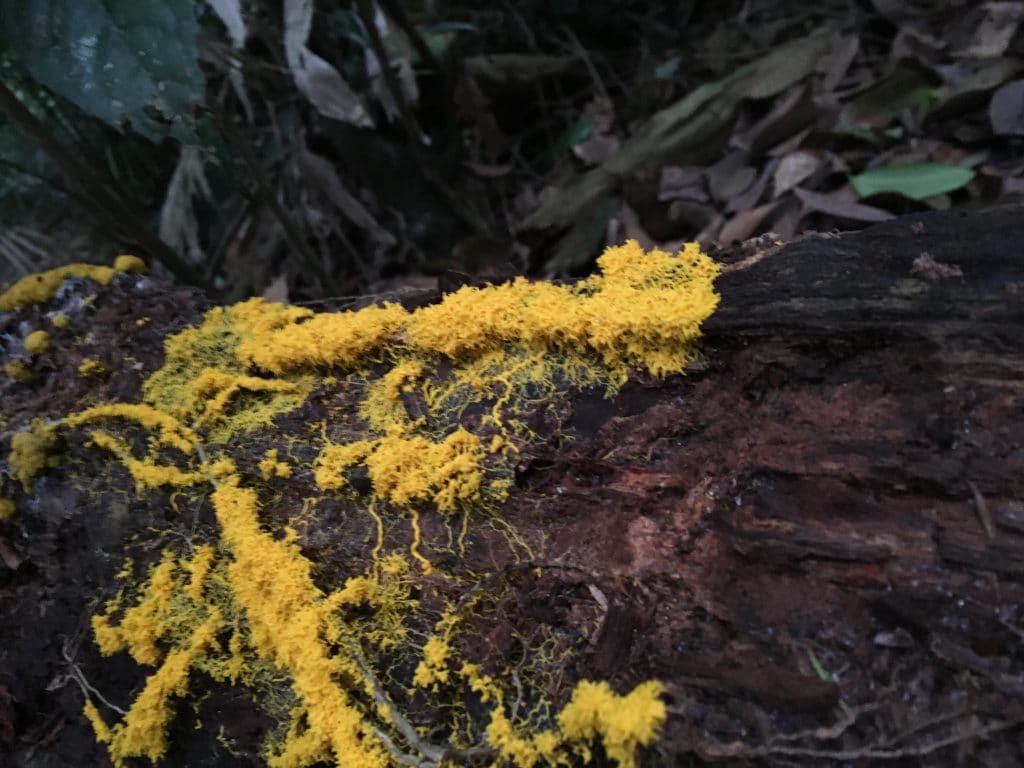
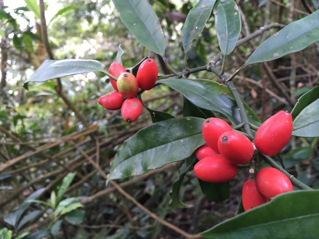
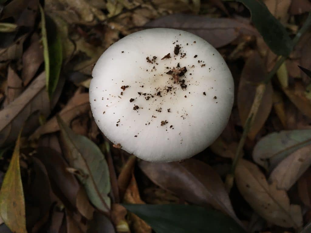
On the way down I snapped these pics.
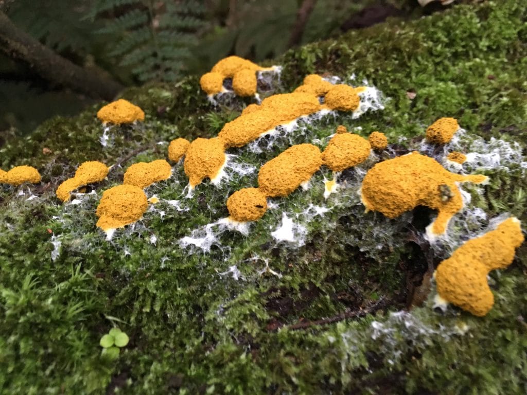
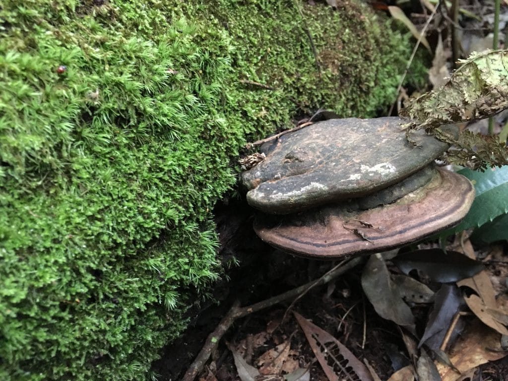
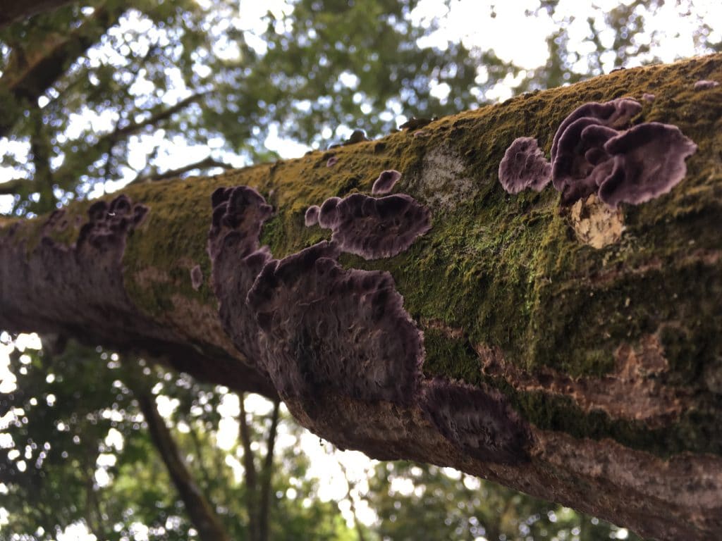
Cappuccino anyone?

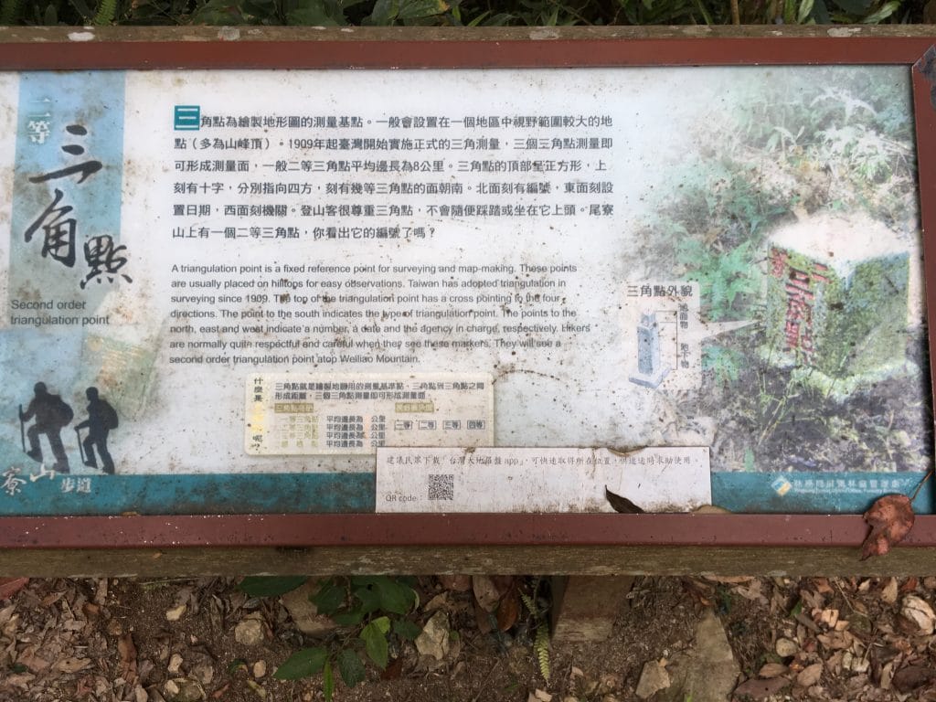
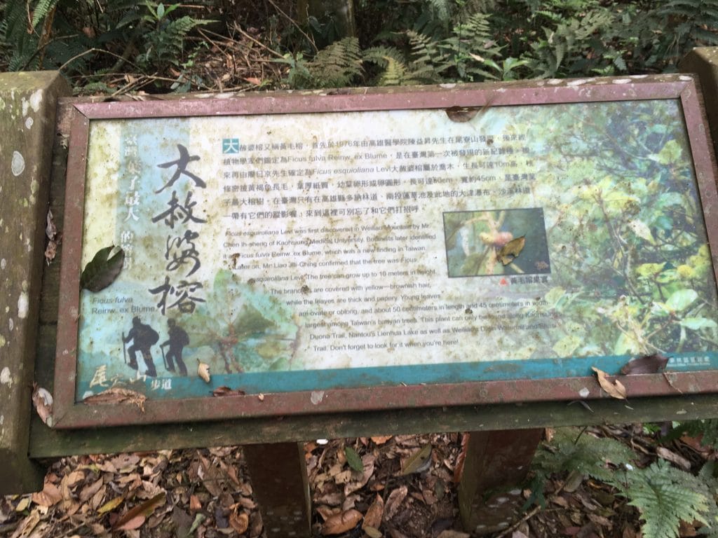
There were also various signs along the way teaching you about the local wildlife and trees and such.

I saw this HUGE nest up in the trees – bee nest I guess. Once I saw something similar up close and it was surrounded by ants going in and out. Apparently it’s not below ants to claim an old home. This one had to be damn near a meter across.

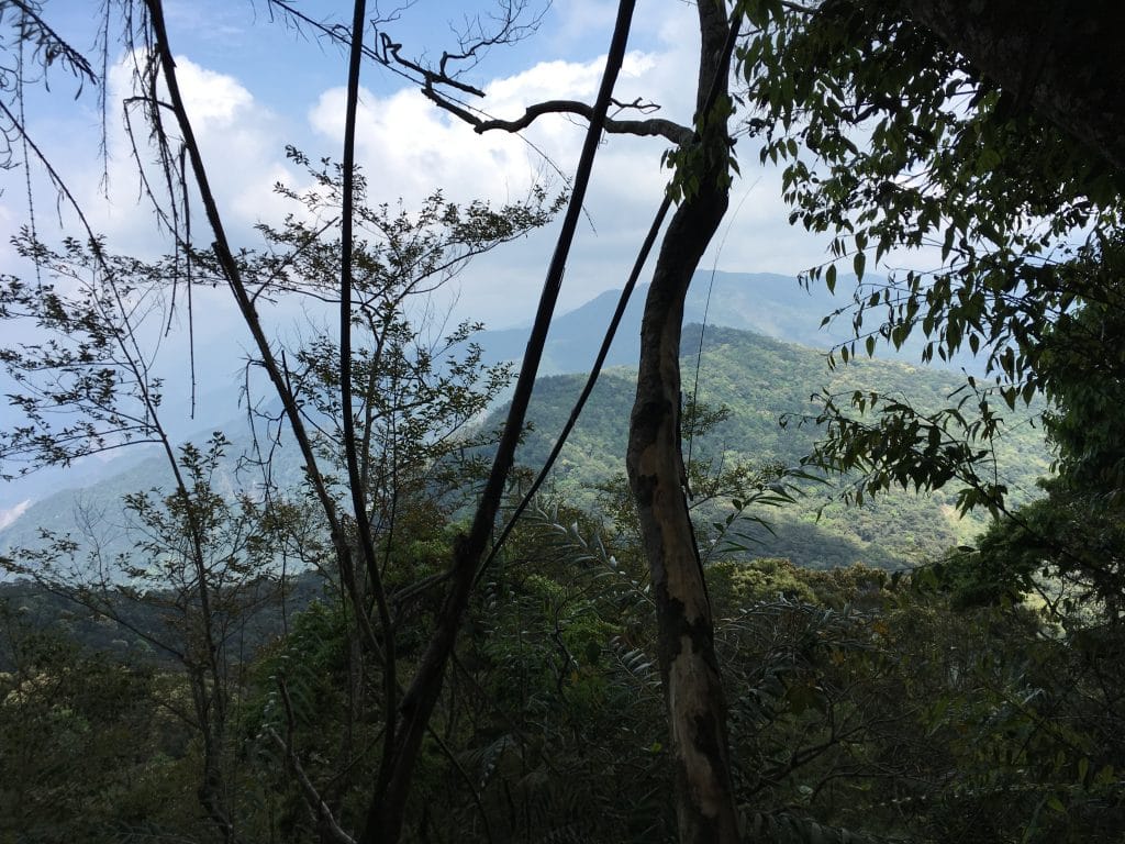
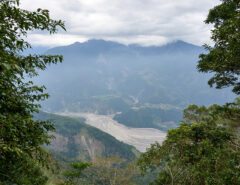
Unfortunately there’s no real view to speak of up at the top or on the way up. You can hear the drone of the cities at the top. The best view I got was about halfway up. This would be of the Shaxi side.


Date hiked: 2018 April 19

GPX Track Download Instructions: Click the track on the map to see the download link

Map loading, please wait ...

Liability Disclaimer

Please read the Liability Disclaimer before using any information within this post, page or any part of this website.

Share On
Share on Facebook
Share on Twitter
Share on Pinterest
Share on Reddit
 Previous Article Ride and Hike to JiuBaoShan 久保山
Next Article   Hike to Jingdashan 京大山 Peak

Related Posts

  • Mountains and blue sky in the distance - trees in foreground

    Hike to PengJiShan, North JiuJiShan, and JiuJiShan – 棚集山, 北久集山, 久集山 via Alternate Back Trail

    February 28, 2021
  • 鱈葉根山 - XueYeGenShan featured image - two signs attached to tree

    Hiking to XueYeGenShan 鱈葉根山 in Majia, Taiwan

    February 9, 2021
  • Mountains and blue skies in distance with clouds - dead tree in foreground

    Hike to BaiBinShan and ZhenLiShan Northeast Peak in Majia – 白賓山, 真笠山東北峰

    January 31, 2021

Leave a Reply Cancel reply

Hiking in Taiwan & Offroad Motorcycling

  • Popular Posts
  • Recent Posts
  • Tascam DR-680 Noise Test January 16, 2014 10
  • Great Hike to BaCengBaMoShan 巴層巴墨山 in Shizi, Taiwan March 3, 2019 8
  • WaiMaLiBaShan 外麻里巴山 - view of mountains and river below
    Hike to WaiMaLiBaShan 外麻里巴山 in Shizi, Taiwan March 18, 2019 6
  • Panoramic shots of mountains see on the JiuBaoShan 久保山 trail
    Ride and Hike to JiuBaoShan 久保山 April 15, 2018 5
  • Mountains and blue sky in the distance - trees in foreground
    Hike to PengJiShan, North JiuJiShan, and JiuJiShan – 棚集山, 北久集山, 久集山 via Alternate Back Trail February 28, 2021 0
  • 鱈葉根山 - XueYeGenShan featured image - two signs attached to tree
    Hiking to XueYeGenShan 鱈葉根山 in Majia, Taiwan February 9, 2021 0
  • Mountains and blue skies in distance with clouds - dead tree in foreground
    Hike to BaiBinShan and ZhenLiShan Northeast Peak in Majia – 白賓山, 真笠山東北峰 January 31, 2021 0
  • MeiLunShan 美輪山 trail sign
    Hiking to MeiLunShan – 美輪山, in Kaohsiung, Taiwan December 17, 2020 0


OutRecording @OutRecording
6
Who says trees don't have personalities? This one is doing its best impression of a banyan tree. 😀 #Taiwan #hiking #OutHiking https://t.co/NrPVEx95G5

- 9 hours ago

Follow @outrecording

Follow me on Twitter, YouTube & Instagram

  • Connect on Twitter
  • Connect on Instagram
  • Connect on YouTube
MY HIKING GEAR SPONSOR

Six Moon Designs Logo

Recent Comments

  • Glenn on WeiLiaoShan Hike – 尾寮山
  • TEO K H on WeiLiaoShan Hike – 尾寮山
  • Glenn on Great Hike to BaCengBaMoShan 巴層巴墨山 in Shizi, Taiwan
  • Joestar chuang on Great Hike to BaCengBaMoShan 巴層巴墨山 in Shizi, Taiwan
  • Glenn on Ride and Hike to JiuBaoShan 久保山
TAIWAN RELATED OUTDOORS BLOGS & SIMILAR TOPICS

Categories

  • 3

Random Posts

  • Strengthening KLX250S Subframe September 15, 2016
PRIVACY POLICY

Copyright © 2020 by outrecording.com. All Rights Reserved. Please read this Disclaimer / Privacy Policy before using any information on this site.

 [Valid RSS]