• Home
  • Taiwan Hiking Map
  • Taiwan Off-Roading
  • About
    • About Me
    • Liability Disclaimer
  • Contact
  • Language: English
    • English English
    • 中文 (台灣) 中文 (台灣)
OutRecording
Menu
  • Home
  • Taiwan Hiking Map
  • Taiwan Off-Roading
  • About
    • About Me
    • Liability Disclaimer
  • Contact
  • Language: English
    • English English
    • 中文 (台灣) 中文 (台灣)

Tag: Kaohsiung

17 December 2020

Hiking to MeiLunShan – 美輪山, in Kaohsiung, Taiwan

Written by Glenn
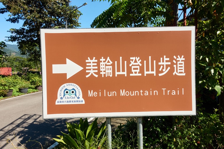
MeiLunShan 美輪山 trail sign
It’s not often I tell you that a trail isn’t worth your time. But I might have to make an exception for MeiLunShan 美輪山.  MeiLunShan, located in Liugui District, Kaohsiung (高雄市六龜區) likely hasn’t ever been at the top of anyone’s list of peaks to hike. And in its current...
Read More about Hiking to MeiLunShan – 美輪山, in Kaohsiung, Taiwan
Hiking Leave a Comment
25 December 2019

WeiLiaoShan Hike – 尾寮山

Written by Glenn
WeiLiaoShan 尾寮山 is a popular hike in southern Taiwan. It’s listed as one of the “Top 100 Lower Mountains” (小百岳). Expect a fair amount of hikers if you’re planning a weekend hike. The WeiliaoShan peak is located on the border of Kaohsiung and Pingtung counties. The first half of...
Read More about WeiLiaoShan Hike – 尾寮山
Hiking 2 Comments
20 January 2019

Hike to HsiaoTienYuanShan – 小田原山 in Baolai 寶來

Written by Glenn
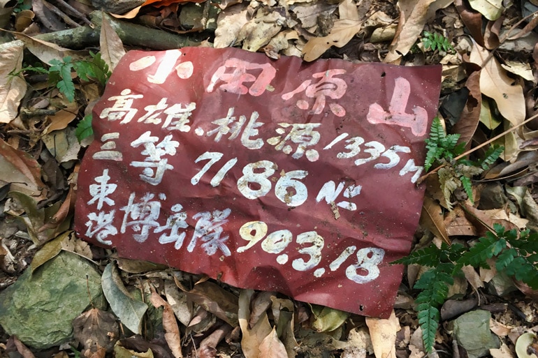
Red sign on the ground with Chinese words
Deep within the mountains on the Baolai riverbed you’ll find two popular hot springs, Qikeng and Shikeng (七坑 & 十坑). Situated roughly between the hot springs is the mountain HsiaoTienYuan – 小田原. At 1335 meters, I thought I would have plenty of time to make it to the top...
Read More about Hike to HsiaoTienYuanShan – 小田原山 in Baolai 寶來
Hiking Leave a Comment
26 December 2018

Hiking in and around the Terdreka Settlement in Maolin – 得樂的卡, 茂林

Written by Glenn
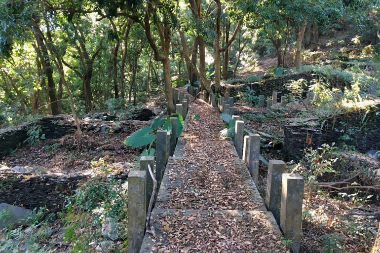
Old type of sidewalk in abandoned aboriginal village
This has to be one of the coolest places I’ve ever stumbled upon. With over 65 structures to explore, walkways and stairs throughout, and a back trail to a river, this abandoned village is something special to experience. Ok, now that I got my tour guide spiel out of...
Read More about Hiking in and around the Terdreka Settlement in Maolin – 得樂的卡, 茂林
Hiking 2 Comments
23 May 2018

Ghost Ax Canyon – 茂林多納鬼斧神工峽谷

Written by Glenn
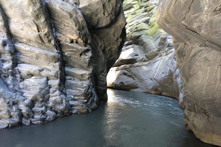
Water passage through high rock walls - Ghost Ax Canyon - 茂林多納鬼斧神工峽谷
Last week I had planned to climb ZuMuShan 足母山, but quickly realized I had brought far too much in my pack to make the climb in a reasonable amount of time. That and it was REALLY hot. About 30 min into the climb I turned around and headed towards...
Read More about Ghost Ax Canyon – 茂林多納鬼斧神工峽谷
Hiking Leave a Comment
21 April 2017

Maolin Entrance Trail – Pt 1 (Weiliao Mountain Trail – 尾寮山步道)

Written by Glenn
Ride Info This is the first part of a two or more part ride. I started the ride on the other side, near Lover’s Gorge waterfall. But I would recommend starting where I finished, at the trail head of Weiliao Mountain Trail (尾寮山步道). As you travel up you’ll first...
Read More about Maolin Entrance Trail – Pt 1 (Weiliao Mountain Trail – 尾寮山步道)
Taiwan Off-Roading 1 Comment
15 January 2014

Turtle Hill Recording – Kaohsiung

Written by Glenn
Turtle Hill is a somewhat unknown hill near Lotus Lake, Kaohsiung. It apparently used to be a military base, but now it’s a park. I had some spare time after the New Year’s celebrations and figured I’d have a look. I had originally planned to record around Lotus Lake...
Read More about Turtle Hill Recording – Kaohsiung
Field Recording Leave a Comment

Hiking in Taiwan & Offroad Motorcycling

  • Popular Posts
  • Recent Posts
  • Tascam DR-680 Noise Test January 16, 2014 10
  • Taiwan Round Island Dirt Trip – Day 01 January 19, 2018 4
  • Great Hike to BaCengBaMoShan 巴層巴墨山 in Shizi, Taiwan March 3, 2019 4
  • Down But Not OUT! SPS200 Noise Problem April 2, 2014 4
  • MeiLunShan 美輪山 trail sign
    Hiking to MeiLunShan – 美輪山, in Kaohsiung, Taiwan December 17, 2020 0
  • rolling green mountains - blue sky and ocean - white clouds
    Hike to QiLuZhiKeShan – 耆路知可山 in Shihzih, Pingtung County October 26, 2020 0
  • Mountain landscape - riverbed below - blue sky and white clouds
    Hike to LaiYiShan & ZhenYaSheShan – 來義山 & 真雅社山 July 30, 2020 0
  • Red Dust Canyon Hike in Taiwan – 紅塵峽谷 July 16, 2020 0


OutRecording @OutRecording
3
What are these used to indicate? I should know, but they never make sense to me. They have never corresponded to distance or elevation. I only see them on popular trails. #taiwan #hiking https://t.co/ZJVl2Zuo0m

- 2 days ago

Follow @outrecording

Follow me on Twitter, YouTube & Instagram

  • Connect on Twitter
  • Connect on Instagram
  • Connect on YouTube
MY HIKING GEAR SPONSOR

Six Moon Designs Logo

Recent Comments

  • Glenn on An Easy Hike to ZhuoDiLuoLiuShan – 著地螺留山
  • Tim on An Easy Hike to ZhuoDiLuoLiuShan – 著地螺留山
  • Glenn on An Amazing Hike on the QiYueZongZou – 旗月縱走 Ridge Trail
  • Tim on An Amazing Hike on the QiYueZongZou – 旗月縱走 Ridge Trail
  • Glenn on Hike to FangYeJuShan, Rock Peak 425, and KaYouFeng Waterfall – 枋野具山 & 425岩峰 & 卡悠峯瀑布
TAIWAN RELATED OUTDOORS BLOGS & SIMILAR TOPICS

Categories

  • Equipment
  • Field Recording
  • General
  • Hiking
  • KLX250S
  • Mods
  • News
  • Sound Map
  • Taiwan Off-Roading
  • Taiwan Related Audio

  • 1

Random Posts

  • Looking down at Sandishan 三地山 triangulation and signs
    Hike to Sandishan 三地山 and Trail to Dewenshan 德文山 October 28, 2018
PRIVACY POLICY

Copyright © 2020 by outrecording.com. All Rights Reserved. Please read this Disclaimer / Privacy Policy before using any information on this site.

 [Valid RSS]