

I have been putting off hiking to LaiYiShan & ZhenYaSheShan – 來義山 & 真雅社山 for quite some time. Somehow I had it in my mind that they would be super easy and leave me with a lot of extra time on my hands. Boy was I wrong! Yes, one was quite easy – though it left me injured and bleeding; but the other…well, I wouldn’t categorize it as difficult, but it certainly wasn’t easy. In the end, I got more than I had bargained for.
The Hike to LaiYiShan – 來義山
If you live down south or have spent any time exploring the southern mountains, you’ve undoubtedly heard of Laiyi Township (來義鄉). But what you may not know, is that there’s a LaiYi Mountain (來義山) – named after the Paiwan LaiYi Tribe (來義部落) who used to live in the area.
LaiYiShan is unremarkable on many levels, but it was on the way to my main objective and wouldn’t take much time, so why not?

I purposely arrived later and started around 10:30am. I had strongly considered hiking to this peak second. But almost every time I’ve saved the easy ones for last, I’ve skipped them because I was too tired. Does anyone else do that, or is it just me?
There appears to be two or three different trail heads. Or maybe there’s no actual trail, as it’s not a popular peak. Perhaps people just find their own way up and some have marked their route with ribbons. The GPX track I found started a ways down from the trail ribbon I saw tied to a tree a bit up the mountain.

At any rate, the beginning of the hike wasn’t all that dense with vegetation; it appears it used to be farmland. All of the possible routes lead to the same place a few hundred meters away, so I abandoned my GPX track and followed the yellow ribbons.
But eventually it did get a bit dense.


But it wasn’t a big deal. It took me all of twenty minutes to hike up to this final climb to the top.

Once up there…

That was it! I made it!
Though it didn’t look like the picture above. I had to do a bit of “yard work” with the machete to clear away a lot of the overgrowth.
LaiYiShan – 來義山
I wasn’t expecting much and I wasn’t disappointed with that expectation. 😆 There’s no view of the other side of the mountain unless you have a massively long selfie stick.
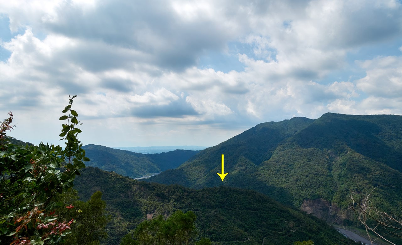
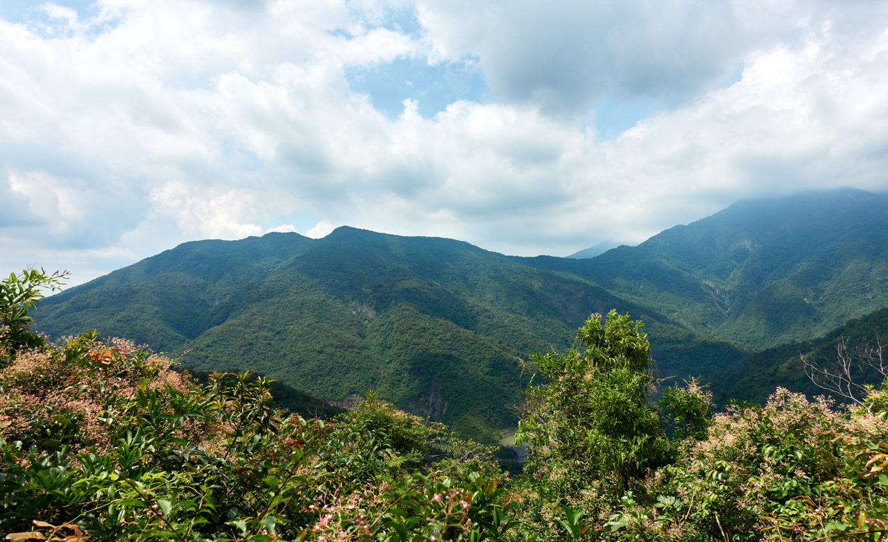
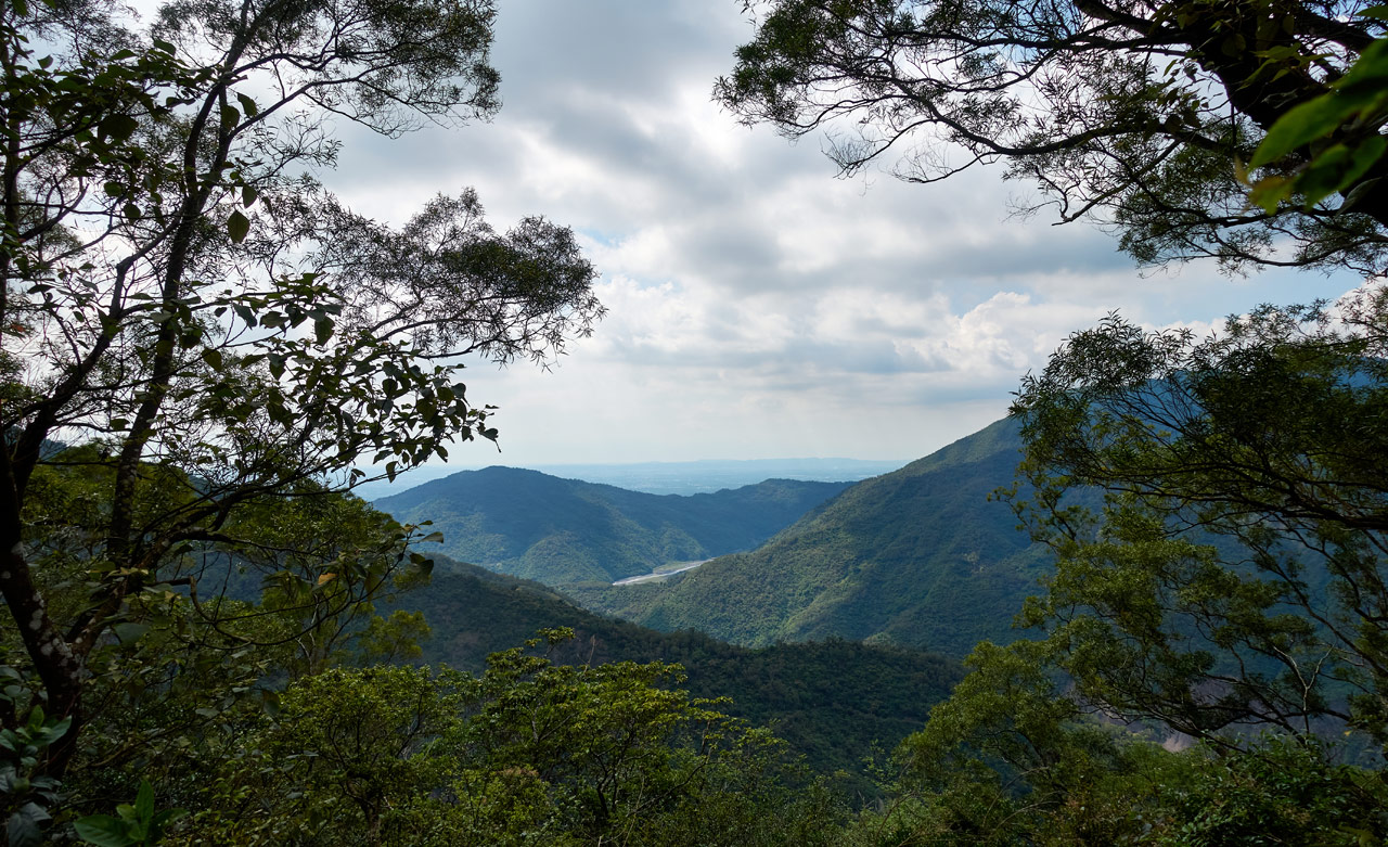
However, I was surprised to get a view of my next destination on this side of the mountain.
It’s that ridge (above pic) behind the tree on the left going up. In the distance you can see JiuBaoShan – 久保山 barely touching the clouds.
And to the east you can see a bit of the landscape.
It’s difficult to make out in the picture above, but if you can find the road on the mountain and follow it to the ridge-line, you can see the remnants of the LaiYi Tribe’s village 來義部落 (Tjalja’avus or Tjaljaqavus). More info HERE.
After my little tidying up of the peak, I took my pictures and got out of there.


And that’s when it happened…

While I was making my way down from the peak my boots lost grip and I went for a short slide. There really should be a rope in that location, but with few people hiking here I guess it’s not a priority. Anyway, I assessed that it probably didn’t need stitches. So I bandaged it up and continued my hike.
One Down, One to Go
It takes about fifteen minutes to drive from LaiYiShan to ZhenYaSheShan. Along the way some sort of bug (maybe a wasp) flew into my helmet and bit me next to my eyebrow. It hurt. But worse was not knowing if it was still in my helmet ready to bite again. So I frantically stopped my bike, removed my gloves, fiddled with my helmet strap…it seemed to take forever…and removed my helmet to find nothing. Well, good.
A couple weeks after this hike I was bitten again – that time by a wasp for sure. So if you’re ever in the mood to be bitten by something that hurts, hike with me in June.
Other than that, I made it to the next trail head without incident.

This one has only the one trail head.

A Steep Start
It started off pretty steep.

Right away I came across a patch of trees with some sort of wart-like growth all over them.


I posted the pictures on Twitter to see if our local ecologist might know what happened here.
Here are those trees I mentioned @TrevorCPadgett . There was a large patch of them in one area. Before and beyond that area, all looked normal. pic.twitter.com/IjaIF27sEm
— OutRecording (@OutRecording) June 4, 2020
I left the trees behind and had a decision to make. The ribbons I saw were going off to the right, and my GPX track was going more to the left.

Since I didn’t know where the ribbons would lead to exactly, I opted to stick with my GPX track. Somehow I must have missed a second set of ribbons that went off to the left side. That would have made things much easier for me. But as things were, I made my own path up the center. 🙂

I don’t recommend my path. But whatever route you take, it will be steep in the beginning.
A More Gradual Incline
A solid thirty minutes into the hike the slope leveled off some.

By now I had slowly veered off to the left and connected up with the actual trail. Some sort of colorful plants greeted me…

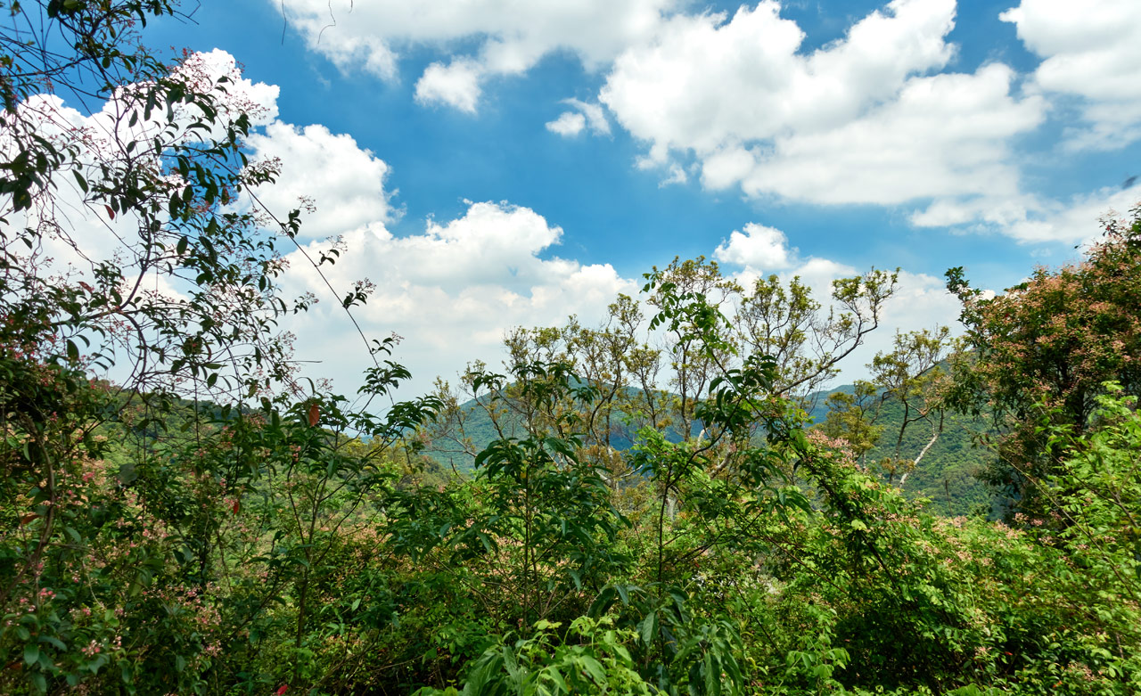
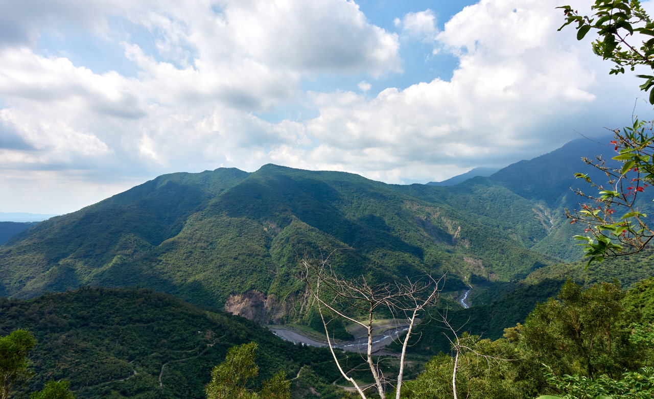
…as did the first view of the surrounding landscape.
That’s HuYaYuShan – 戶亞宇山 to the left and LaiSheShan – 來社山 to the very right, covered by clouds.
The easy slope didn’t last long though.


One nice “feature” of this trail (at least in early June) are these little pink flowers.

I saw a lot of them on the way up. They were quite fragrant, which later proved to be a welcome fragrance that helped expunge the smell of death from my nostrils.
New Heights and a Surprise
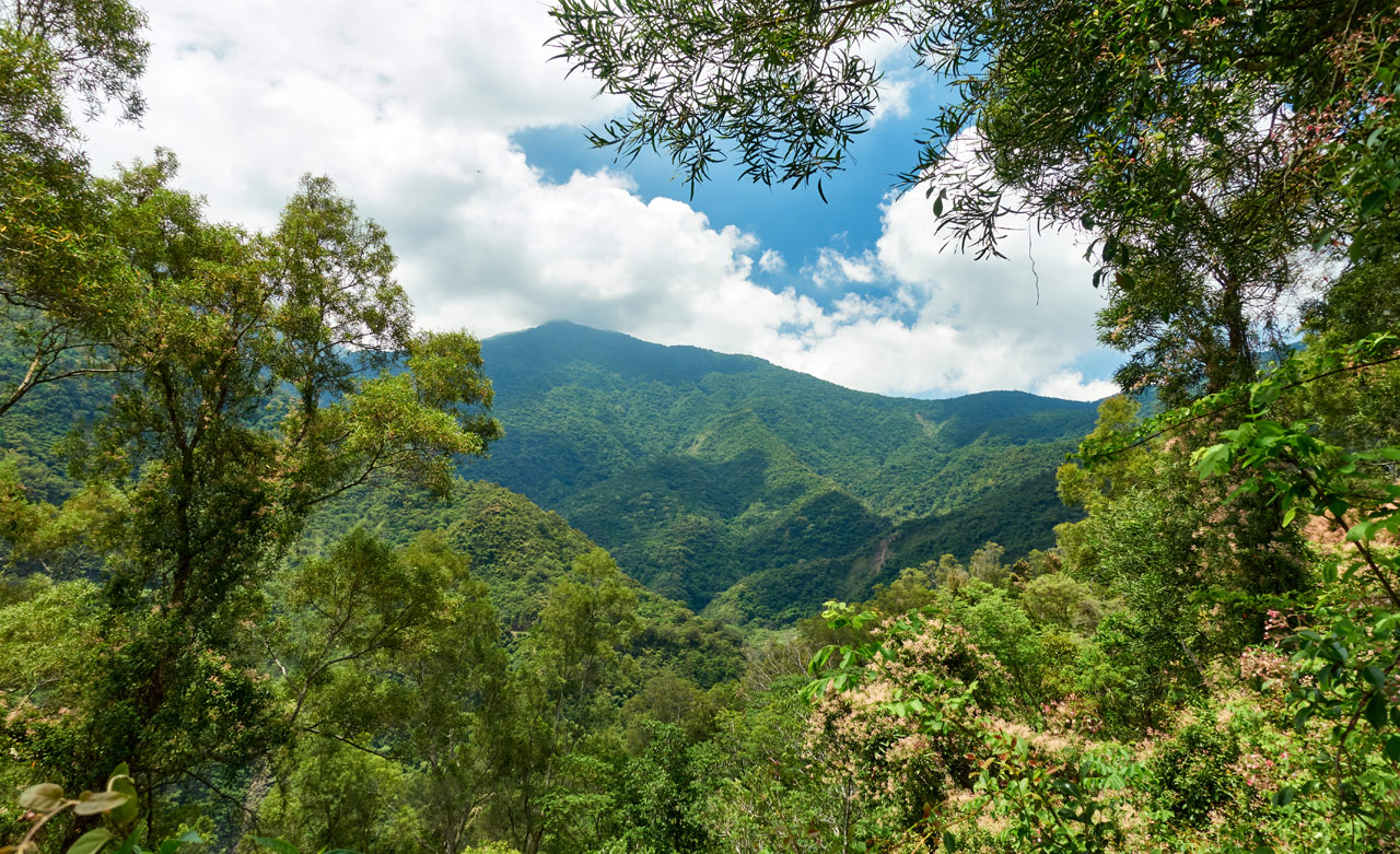
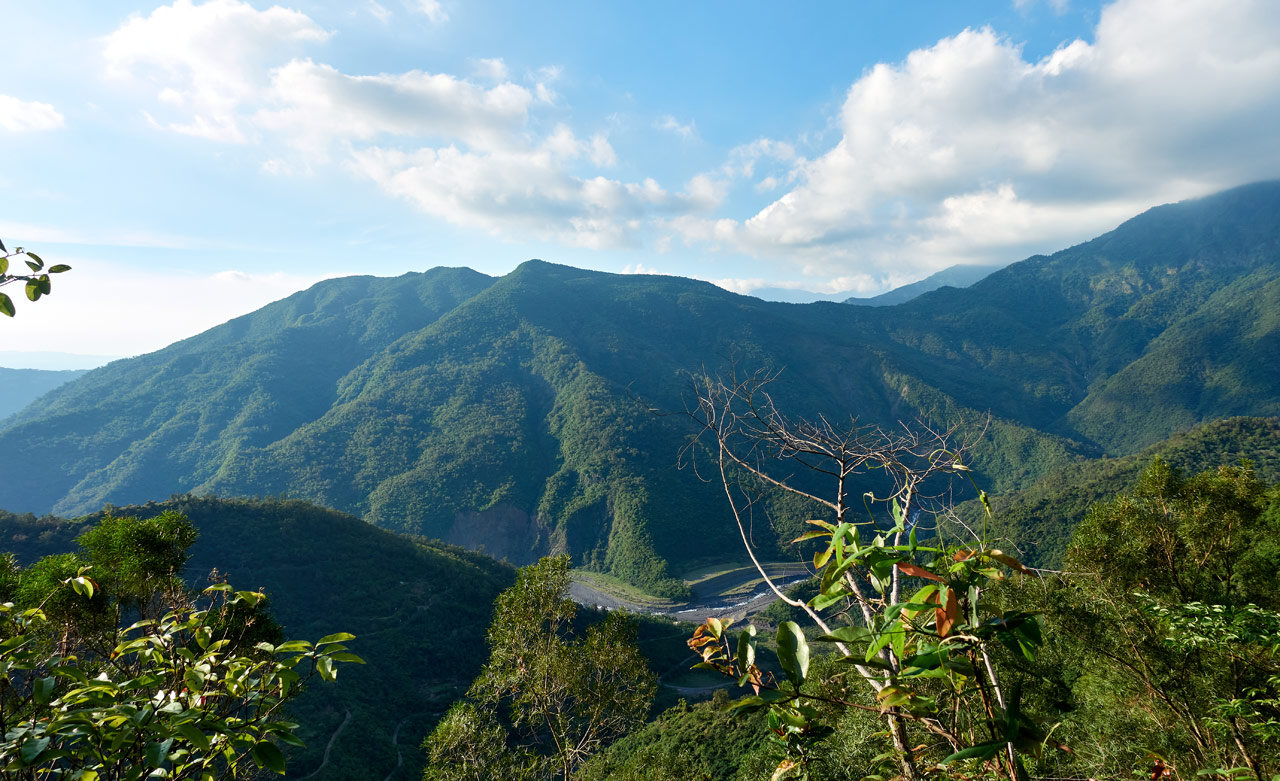
Roughly halfway up a mostly scenic-less hike, I was finally offered a window out of the dense mountain canopy. It was refreshing to say the least.
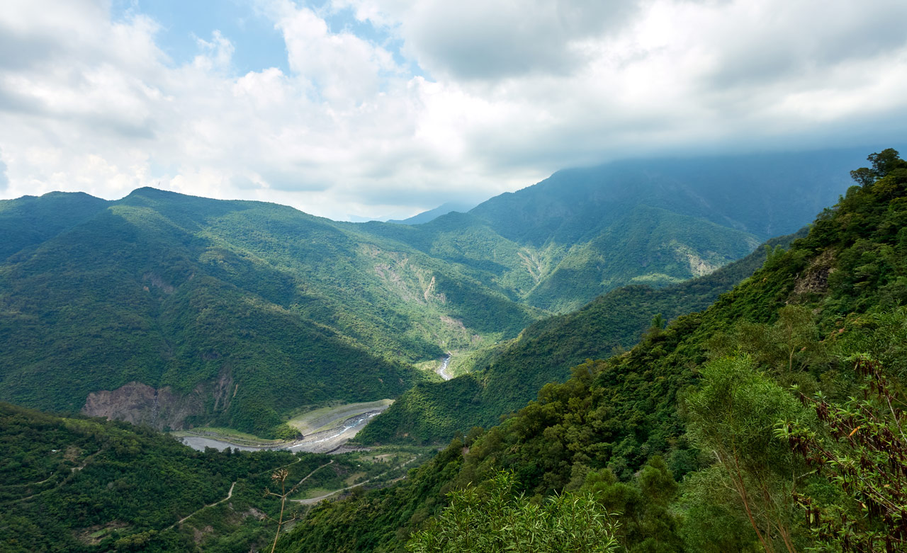
In the first picture, you can see the road winding up the mountain. That’s the road that goes to LaiYiShan and to this side of the mountain. In the second picture you can see LaiYiShan. It’s just above the road. It doesn’t look like much, does it?
As much as I would have liked to stay in that spot, I needed to keep going.
A few minutes later I was surprised by a group of stacked stones.


I hadn’t read anything about remnants from any aboriginal tribes being up here, but given its proximity to a nearby abandoned village, it makes sense.
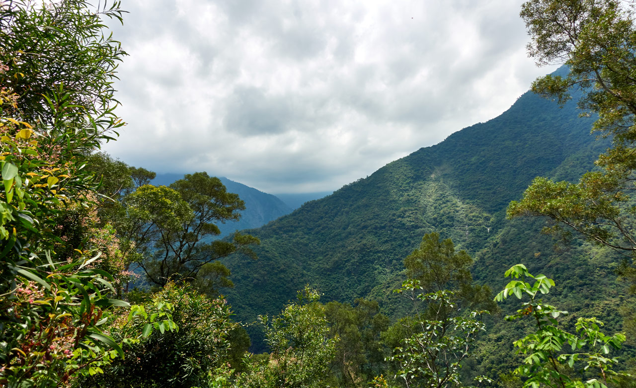
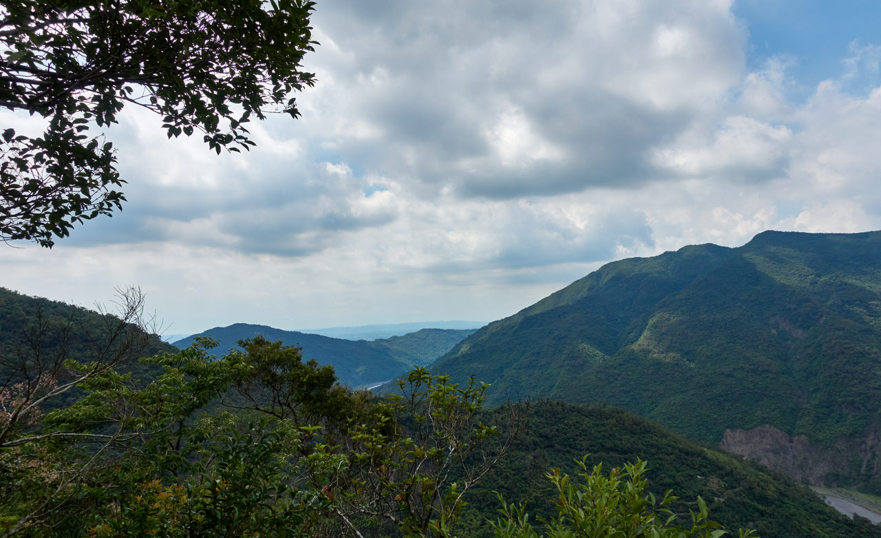
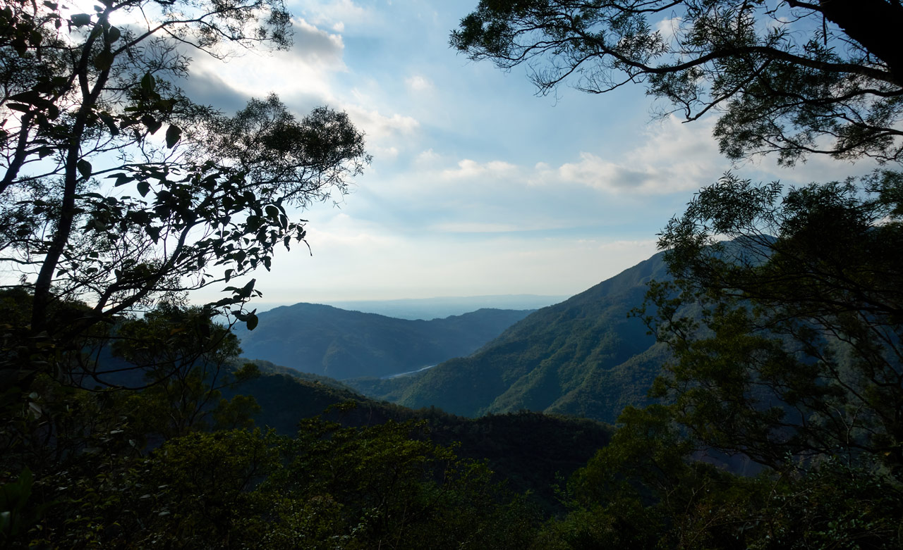
Not long after these stones came another decent view. This would be the last unobstructed view of the hike.

As I climbed, I saw some more remnants of the aboriginals who used to live up here.

But for the most part I just saw tangled trees.


My last surprise on the way up, now less than thirty minutes from the peak, was this old stone marker.

This looked like a good place to rest, so I did.
Final Push!
I’m not sure how long it sounds like I had been hiking. It was going on one and a half hours when I left that stone marker – and that was with two solid rests. But for some reason it felt a lot longer to me. I didn’t know it, but I had only thirty minutes of hiking until my destination.
I pushed on…
Those stacked-stone remnants I saw earlier had been on my mind since leaving them. Were they just a one-off thing? They weren’t houses…but rather a random splash of the unknown. What where they used for?
All I can guess is farmland. That would seem odd seeing how high up they are and how far away they are from the abandoned village below…that is, until I saw these.


The mountainside was littered with these old foundations. I would have to guess OLD house foundations, but honestly, I’m not sure. They didn’t appear to be houses to me. Though maybe this site is so old and badly deteriorated to the point of not being recognizable. It’s possible this was an extension to the old village below; you’ll sometimes see villages divided into an upper and lower village. Or perhaps not. I really haven’t a clue. At any rate, I was happy to have the opportunity to photograph part of the site.
Ok, back to the hike!
I came to a flat, somewhat open area near the peak. It was littered with…garbage and trap-making materials.


I hadn’t seen evidence of traps the entire hike. But after arriving at this apparent hunter’s camp, my “Spider-Sense” went into overdrive.
I was now less than one-hundred meters from the peak. This is where I ran into a stupid problem.
I Couldn’t Find the Triangulation Stone!!!
When I got to the peak (it’s not really a ‘peak’…it keeps going up to DaWuCan – 大武藏山. Though that would be crappy way to get there.) I searched and searched for the triangulation stone, but couldn’t locate it. But what I DID locate…were a shitload of traps!


They were randomly spread all around the peak. I found ten traps before I stopped counting. And more than one had a terrible smell emanating from it.
At first I thought the hunter(s) were baiting them with meat. But later I noticed this picture.

The snare must have gotten something. You can see how it got tangled up in those two trees. Its bones are on the ground and its leg is hanging there from the end of the snare (it somewhat blends in with the trees). This poor animal laid there, all tangled up, waiting to die of hunger or thirst. 🙁
I searched more for the triangulation stone…(carefully, I searched carefully!)…and found more aboriginal stones.

This particular one gave me a “grave-like” feeling. I’m sure it’s not though. From what I’ve been told, Paiwan buried their dead under the floors of their houses. So yeah, if there were houses up here long ago, this whole area could technically be considered a burial ground, right? What a fun thing to think about while you’re up here all alone! 😉
ZhenYaSheShan – 真雅社山
Well, guess what? After taking the above picture, I turned around and nearly tripped over the triangulation stone! I have no clue how I missed it.

Or how I missed this sign nailed to a tree clearly stating, “It’s HERE you idiot!!!”. 😳

Sometimes I think I’m blind.
My plan was to enjoy an extended rest at the peak.

However, reality dictated differently. That decaying animal was nearby; I kept smelling it. It was rancid and I couldn’t stand it. On top of that, I could smell death coming from another trap nearby. Why in the hell did they put their traps so damn close to this triangulation stone???? And why not mark them at least? *sigh*
I stayed as long as I could…which wasn’t long. So I quickly took some pictures and got the hell out of there.


On a side note, nearby the triangulation stone is this other stone marker.


Peak pic alert!

The Trip Down
I don’t have much to say about the hike down. It was pleasant and uneventful. And it took a whopping one hour and fifteen minutes. Part of what saved me time was finding the correct trail towards the bottom. I recommend you use my return-trip GPX track if you plan to do this hike.
Here are some random pictures from the hike down.


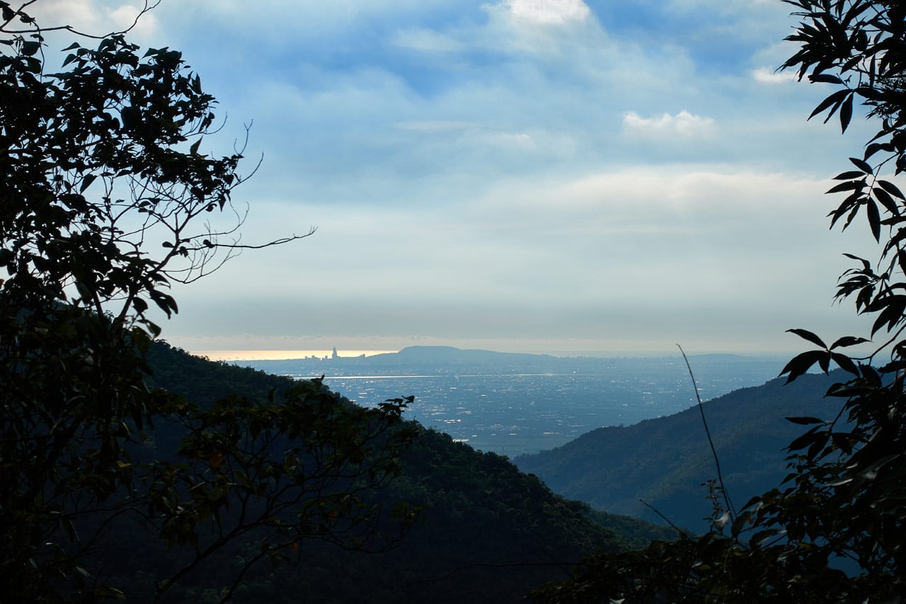
That’s Kaohsiung city in the distance.
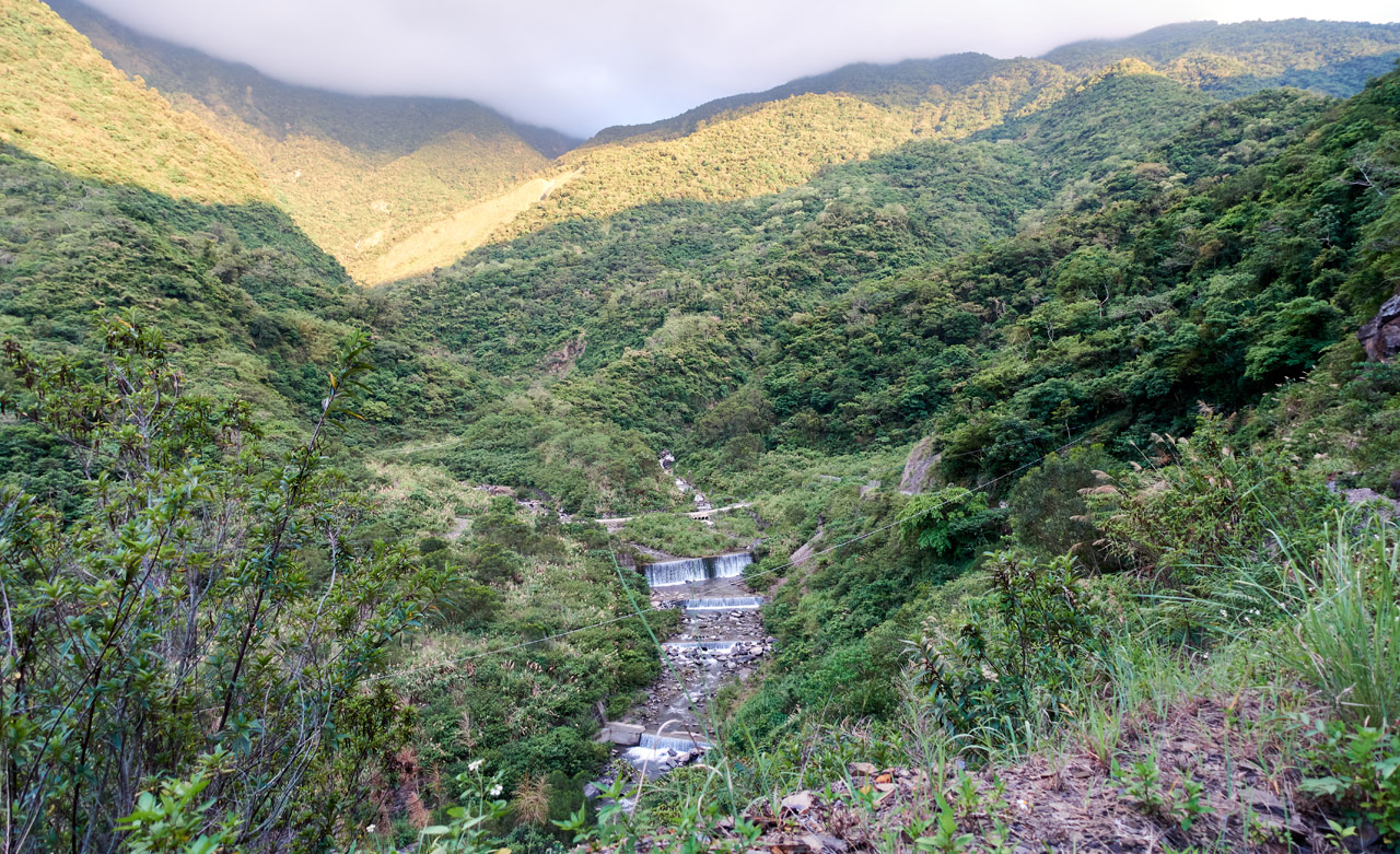
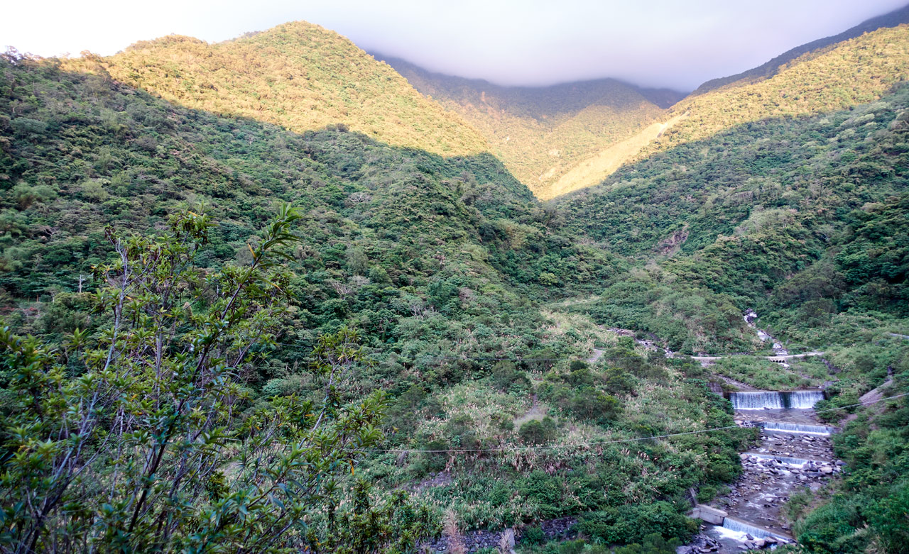
On my ride out I snapped these pictures of a few man-made “waterfalls”.
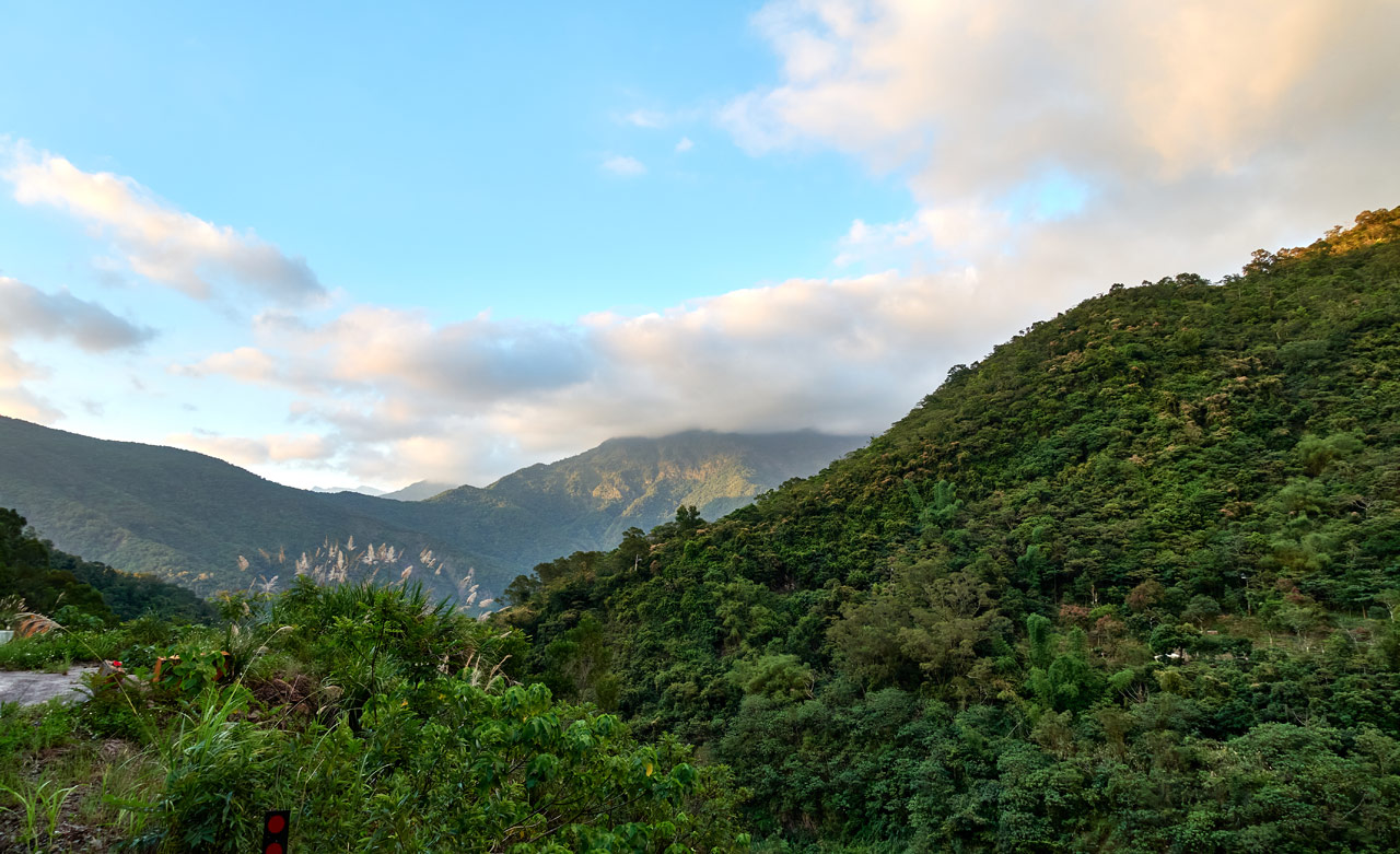
This was my final shot. LaiSheShan – 來社山 once again covered in clouds.
Date hiked: 2020 June 03
GPX Track Download Instructions: Click the track on the map to see the download link
I suggest you use this track


![[Valid RSS]](https://outrecording.b-cdn.net/wp-content/uploads/2020/03/valid-rss-rogers.png.webp)
發佈留言