LiLongShan is a peak I saw when I visited BaCengBaMoShan 巴層巴墨山 the week prior. I knew nothing about it, but I had to climb it. As it turns out, it was a relatively easy hike AND it is also one of the XiaoBaiYue (小百岳) according to this list. I recommend it to anyone.
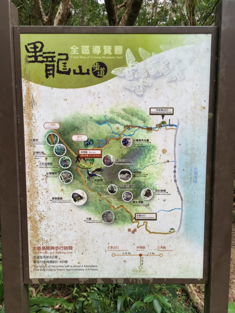
There are three–possibly four–trails to reach LiLongShan.
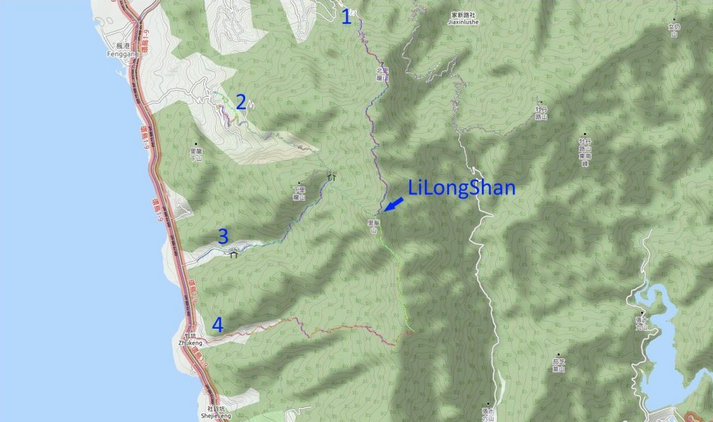
The most popular routes are numbers 2 and 3. From what I’ve read, number 1 has a lot of damage; not to mention it would be a rather long hike. I’ve read nothing about number 4 other than it used to reach whatever that nameless peak is at the end.
At the moment number 3, the ZhuKeng Mountain Entrance (or the Lilongshan South Trailhead 里龍山步道南登山口 as listed on Google Maps) is damaged and it’s recommended that people don’t take this route. I’ve seen a video of someone who has hiked it recently. It’s doable but definitely has some dangers. Personally, I would recommend number 2, the North Mountain Entrance. This is the route I took.
In the past you could drive right up to the trail head. But now…
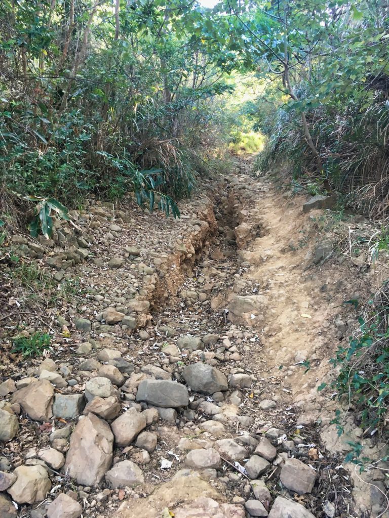
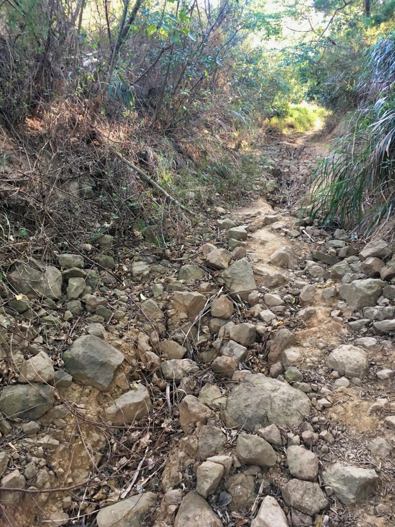
Even with my offroad-capable motorcycle, I decided to hike this section. It was doable but I wasn’t wearing my usual offroad armor.
Most people park further down the mountain at or near one of the many temples in the area. The hike from those places will be easy. But do remember it will add more time.
At the end of this “road” you’ll find the trail head.
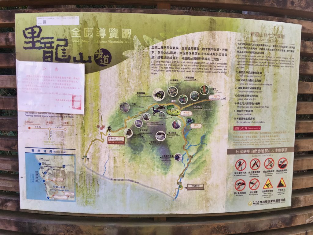
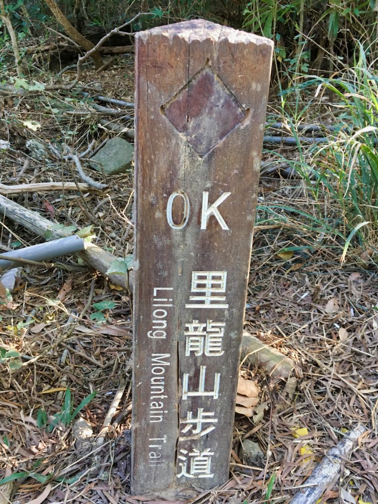
Seems they’re trying to tell you something, eh? 😆
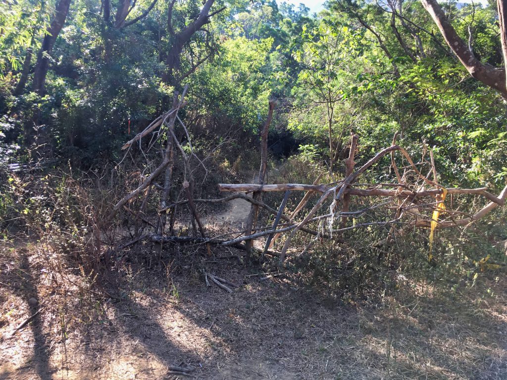
The trail starts out rocky and torn up, but it’s easy enough to hike.
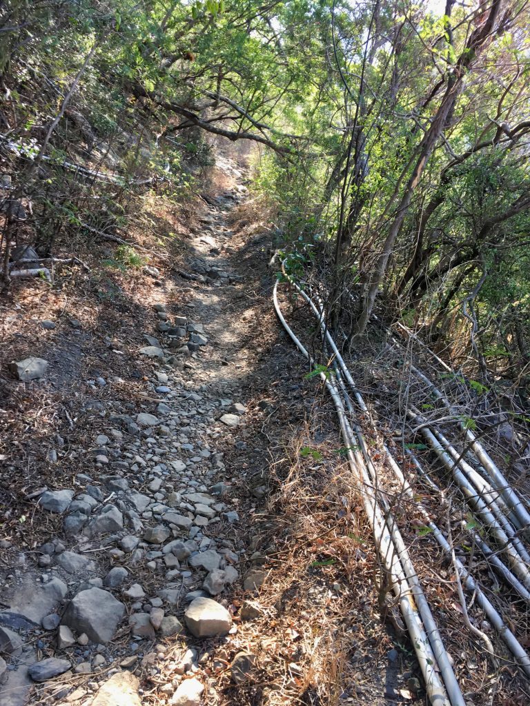
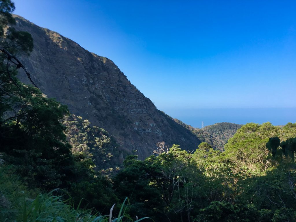
Not long after I started I got my first view of the area. Too bad the sun was in the wrong spot for pictures. Most of my morning shots weren’t so great.
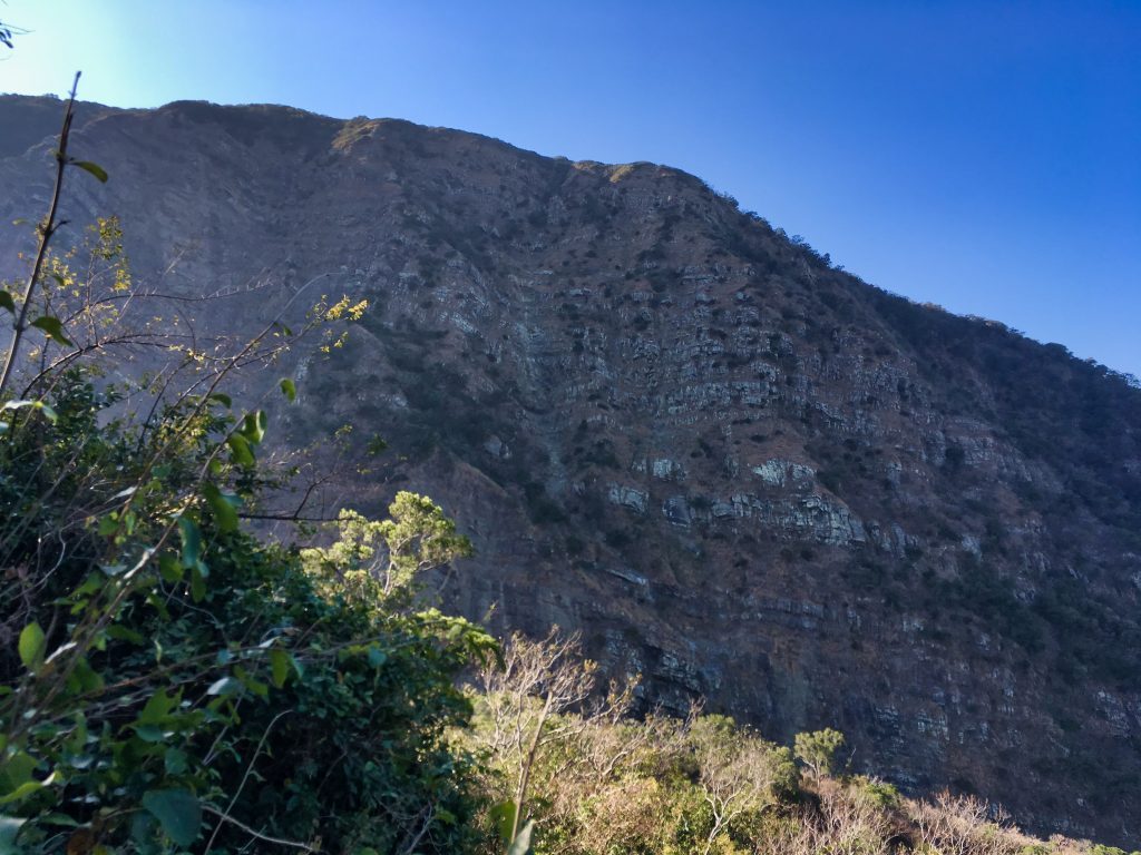
Btw, XiaLiLongShan 下里龍山 is up there somewhere.
The straight trail finally ends and I got to my first bit of rock climbing.
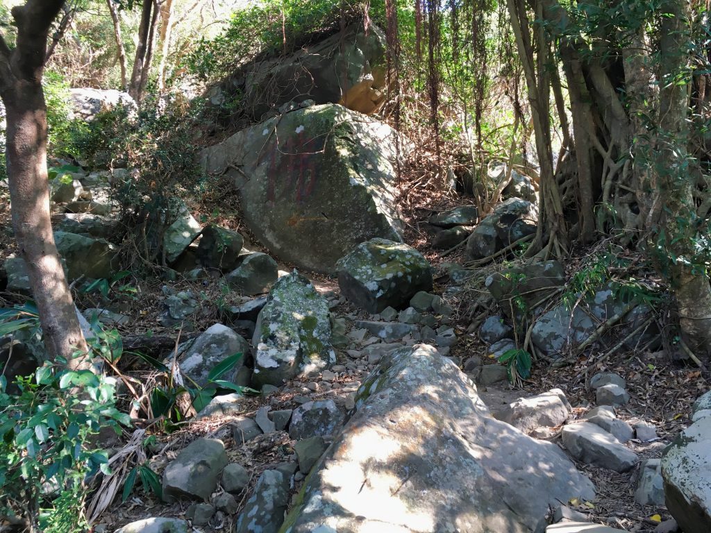
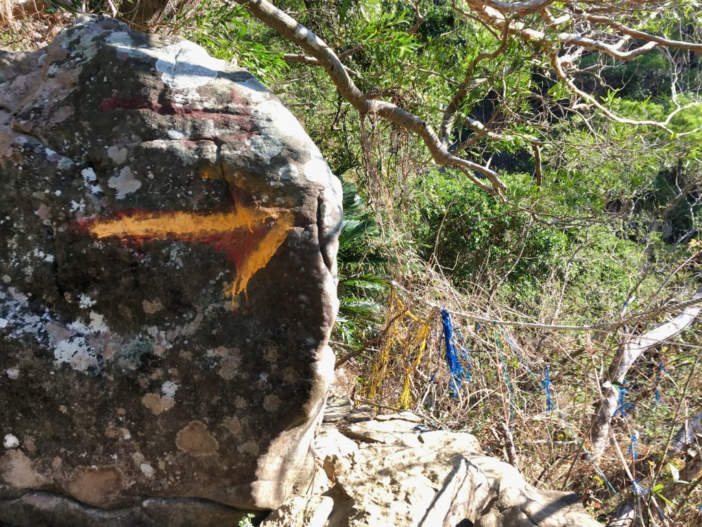
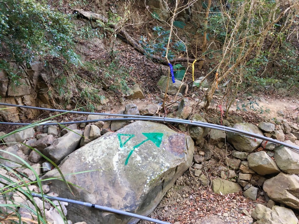
One thing you’ll notice is a LOT of PVC pipes and a healthy amount of arrows and signs to guide your way.
You’ll also find a ridiculous amount of “safety features” along the way…
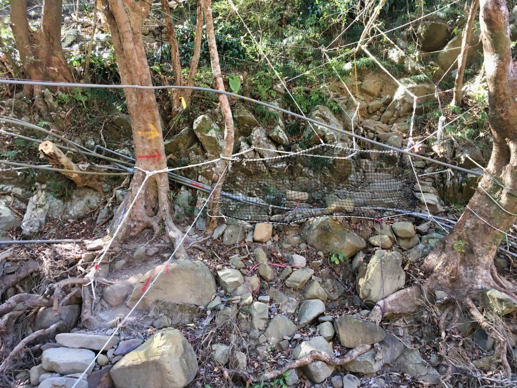
Safety is a good thing; especially with the amount of traffic this trail likely gets. BUT…to me this is just taking it a bit too far.
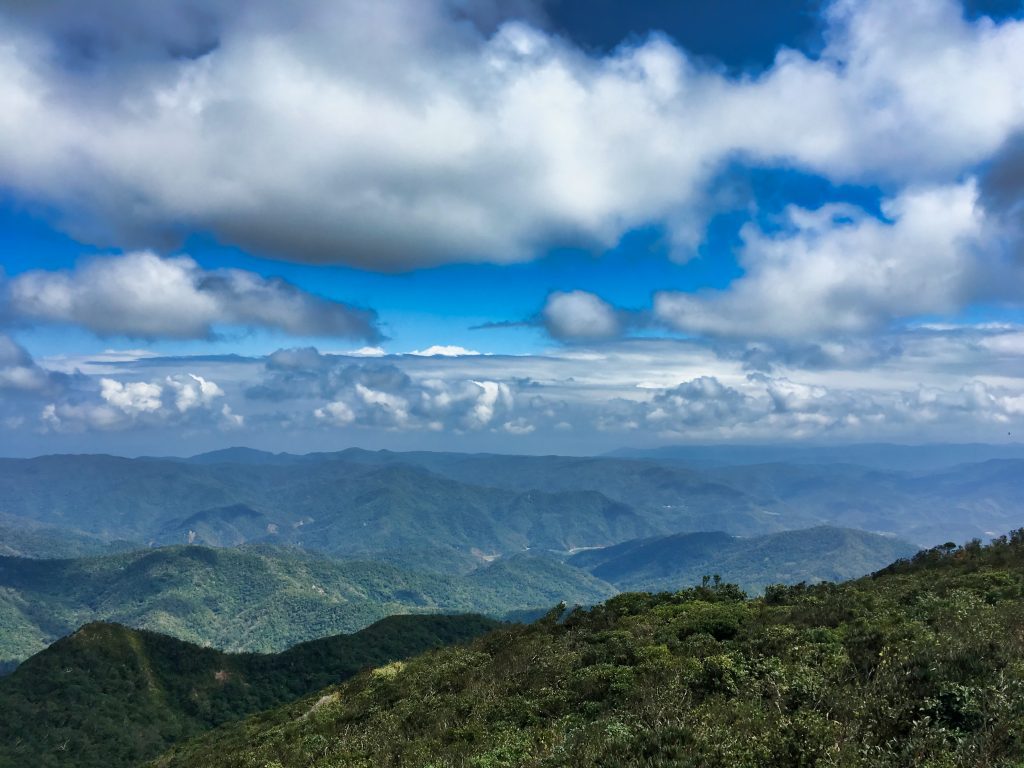
As I climbed, the view got better.
A typhoon or really heavy rain left its mark.
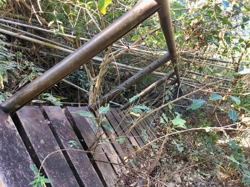
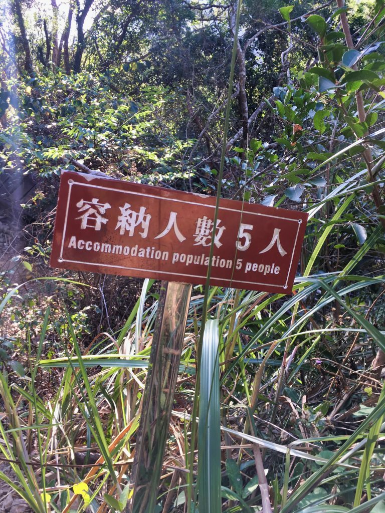
Or more than five people were standing on it at one time. Hahahaha…
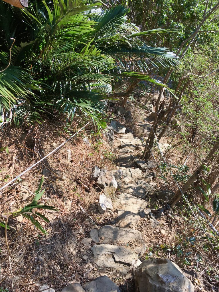
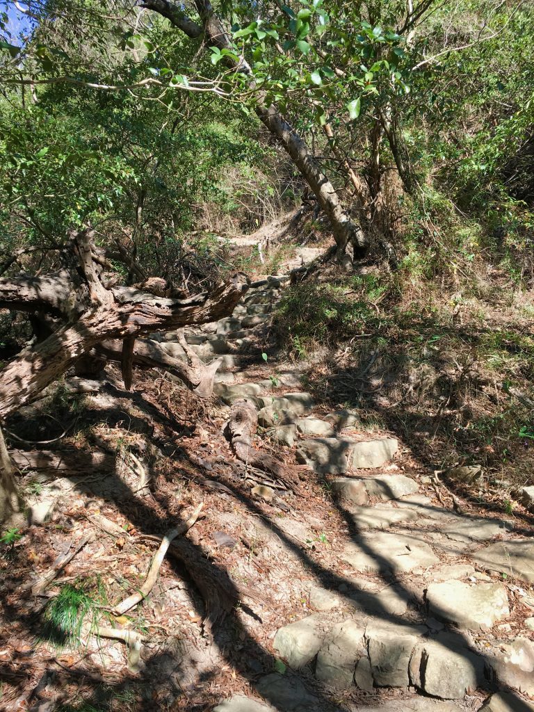
There’s a lot of leg work, but with quite literally steps carved into the rocks, it’s really an easy hike.
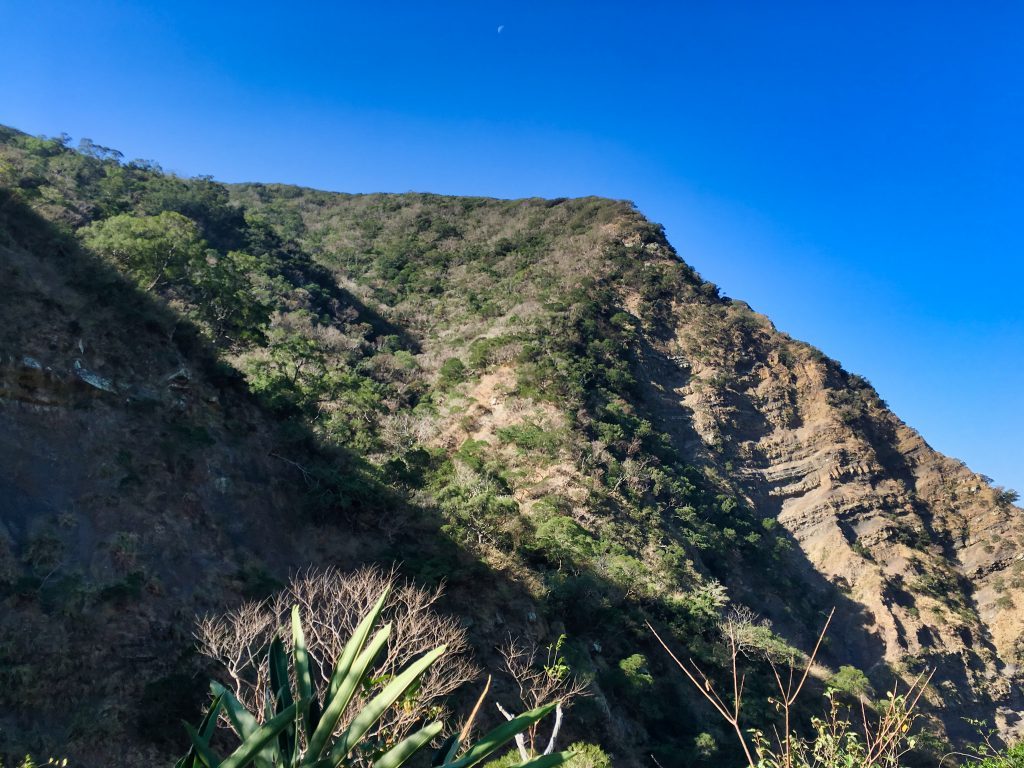
The view continued to get better. And at 9:11am the moon can still be seen.
After about an hour and fifteen minutes, I came to the first major detour from the original trail.

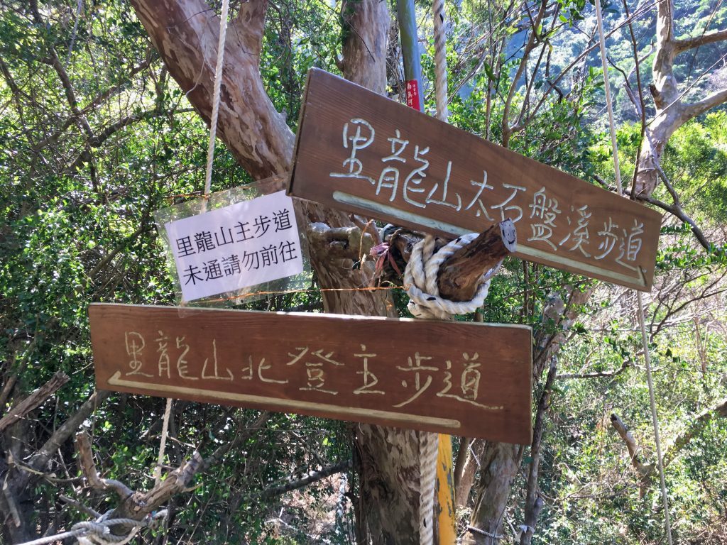
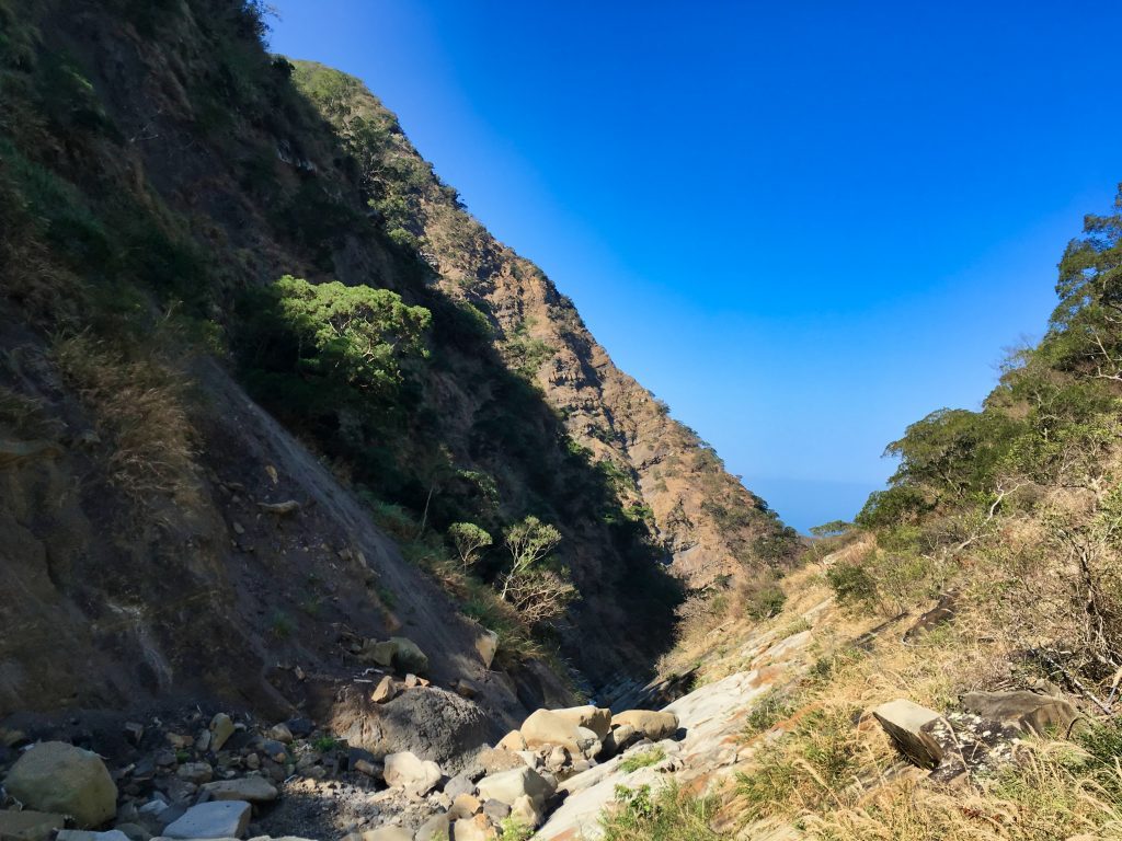
The trail has been destroyed up ahead. The only way up is to go down to the stream below and climb back up the other side.
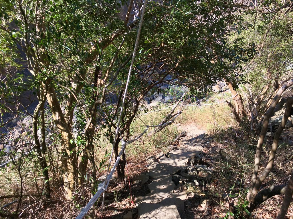
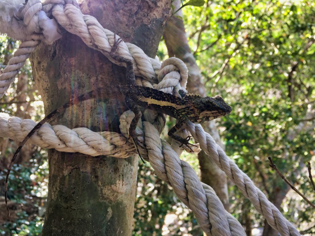
A curious little lizard followed me down the rope. Some hikers behind me that I met at the peak also had a picture of it on the rope. I’m now thinking it was hoping for food. Maybe some hikers have fed it? I mean, what’s the chances of it being on that rope for two groups of hikers…? It jumped off when I got to the bottom and disappeared.
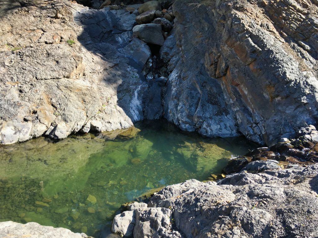
The rocky stream looks to be a nice place to take a break…when there’s more water.
As I climbed up out of the stream bed, I saw what happened to the main trail.
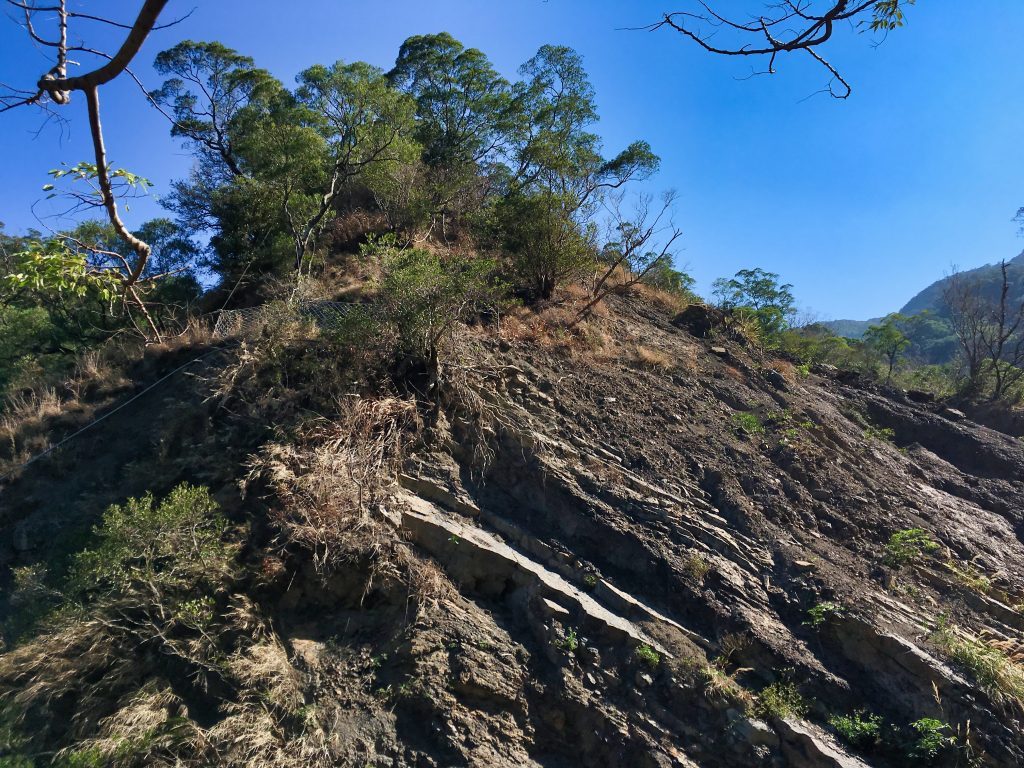
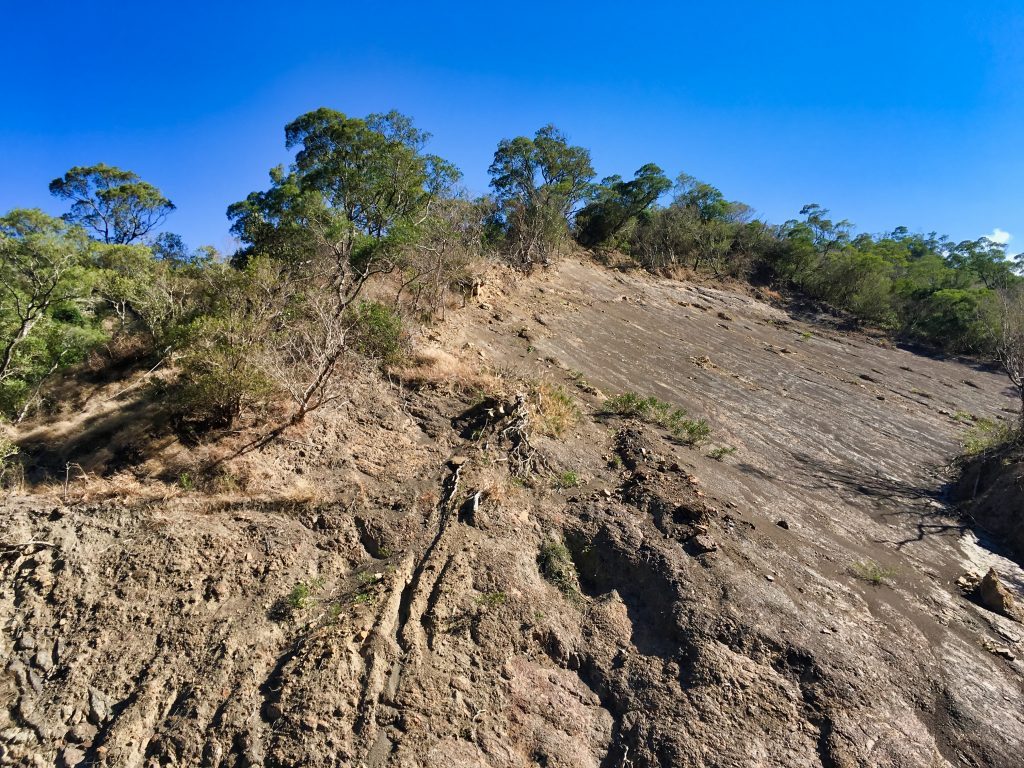
A landslide took it out completely. Further down you can see where it really got deleted.
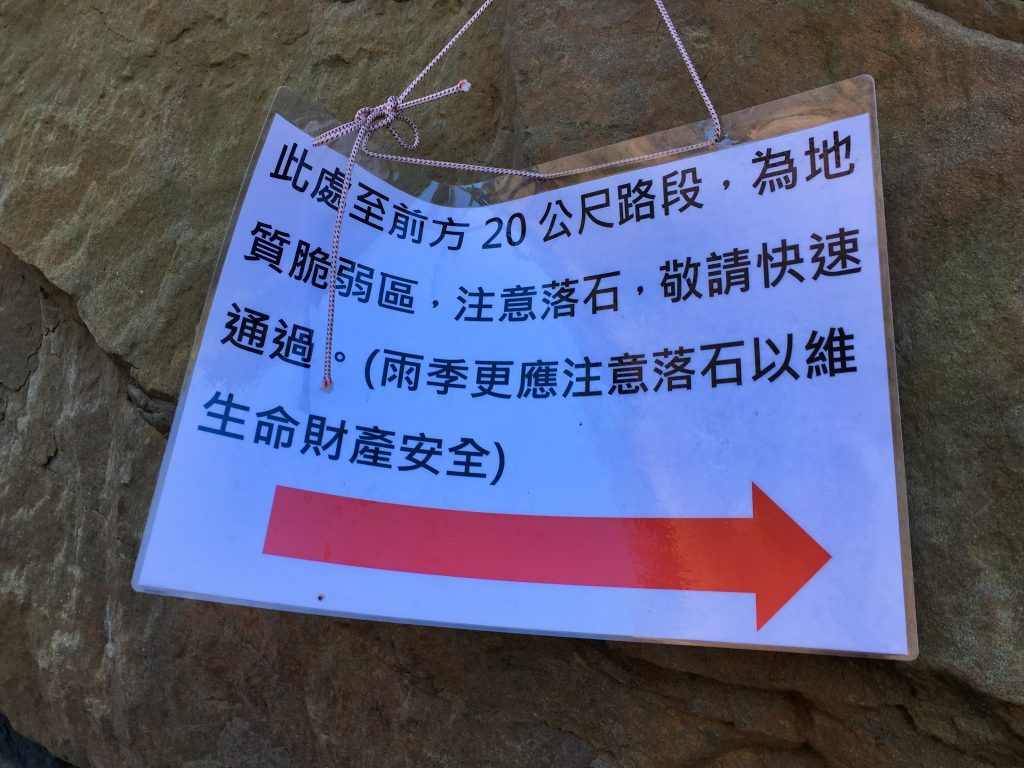
This sign warns that the trail ahead is weak and to be careful of falling rocks, especially in the rain…and to go quickly. It seemed fine this day.
Along this section I DID see something odd.

These little bugs had long, needle-like noses that they were using to suck this dead cockroach dry. This is the first time I’ve seen bugs like this.
Another “first” was seeing this confetti on the trail.
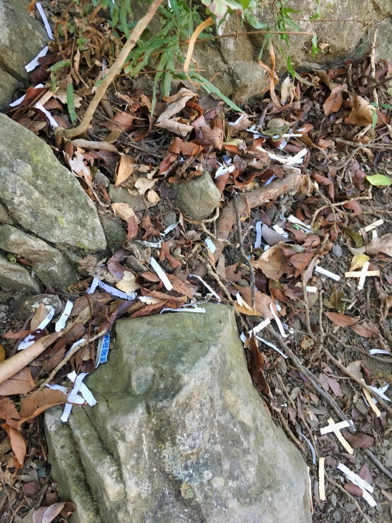
It was obviously being used to mark the trail. It was thrown down at any intersection or curve in the trail. I thought it was kind of absurd given the sheer amount of trail ribbons, spray-painted arrows, ropes, carved steps, and signs that littered the trail. For real, a blind child could probably navigate this trail alone. Well, maybe not. But it’s marked really well. This confetti is totally unneeded.
Someone later told me that this is an old school hiking method of trail marking. I’ll chalk it up as “old habits die hard”.
Two hours into the hike I reached the first little rest area.
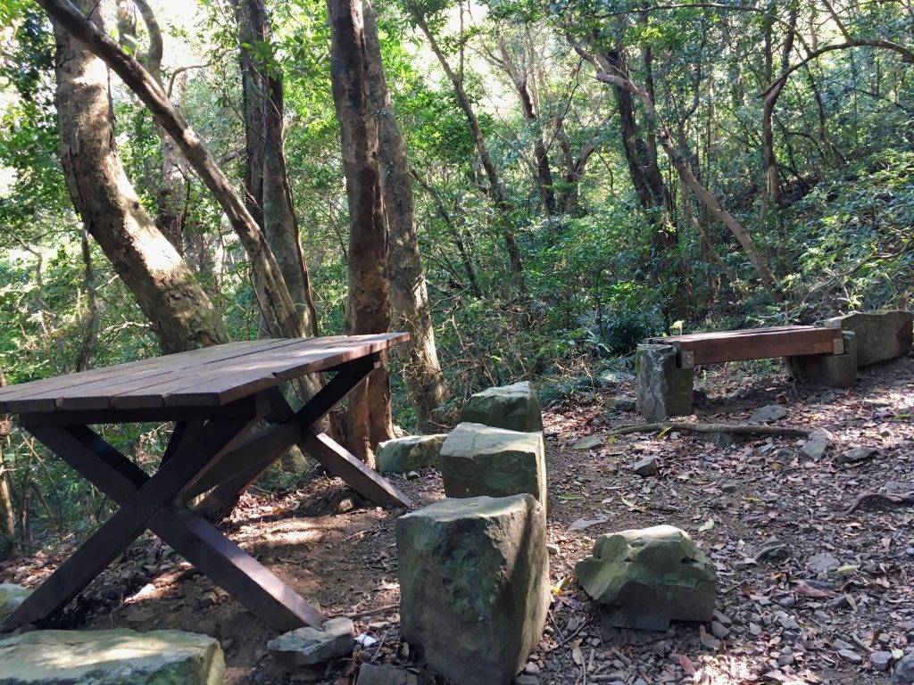
It’s strategically located roughly halfway between walking up from the stream bed to the top of the ridge. My legs decided they needed a little rest, so I took full advantage of that bench.
Fifteen minutes later and I was up around the ridge where the trail to XiaLiLongShan begins.
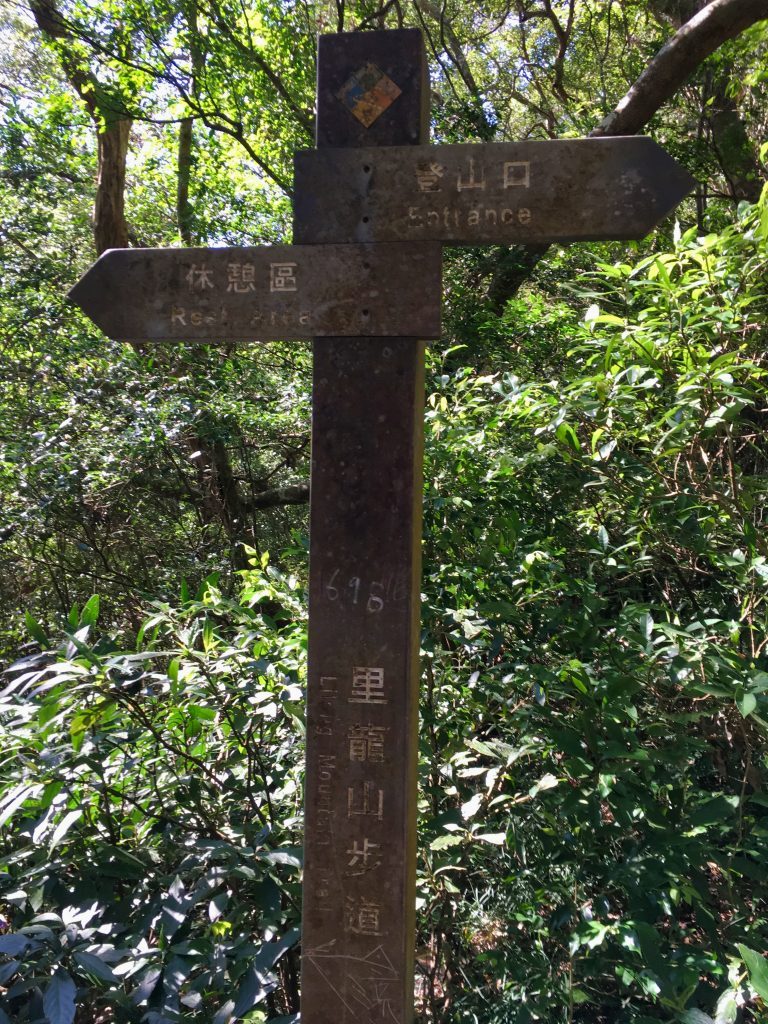
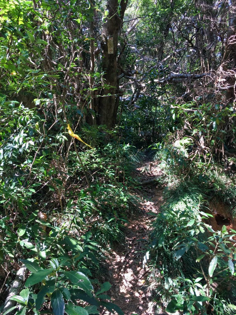
The trail up to XiaLiLongShan is much less used but still pretty easy. You’ll need to get on all fours in a place or two to get around a fallen tree; so consider that if you’re wearing shorts.
It takes about thirty minutes to reach the XiaLiLongShan peak marker. To be honest, unless you want to add another peak to your bag, there’s no reason to go here. There aren’t really any views and there’s nothing interesting to see. I would save your energy for the 1.3 kilometer uphill battle to the main peak you’ll encounter shortly.
But if you decide to hike to XiaLiLongShan, this is what you’ll find.
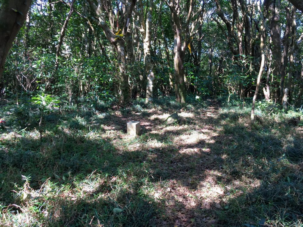
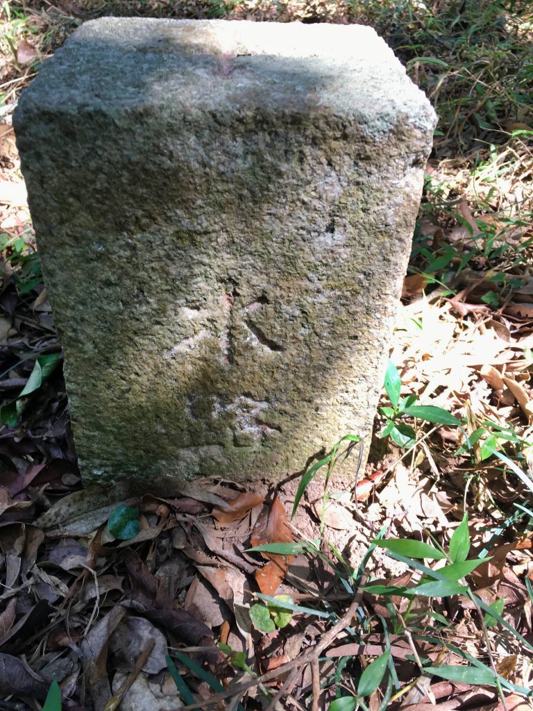
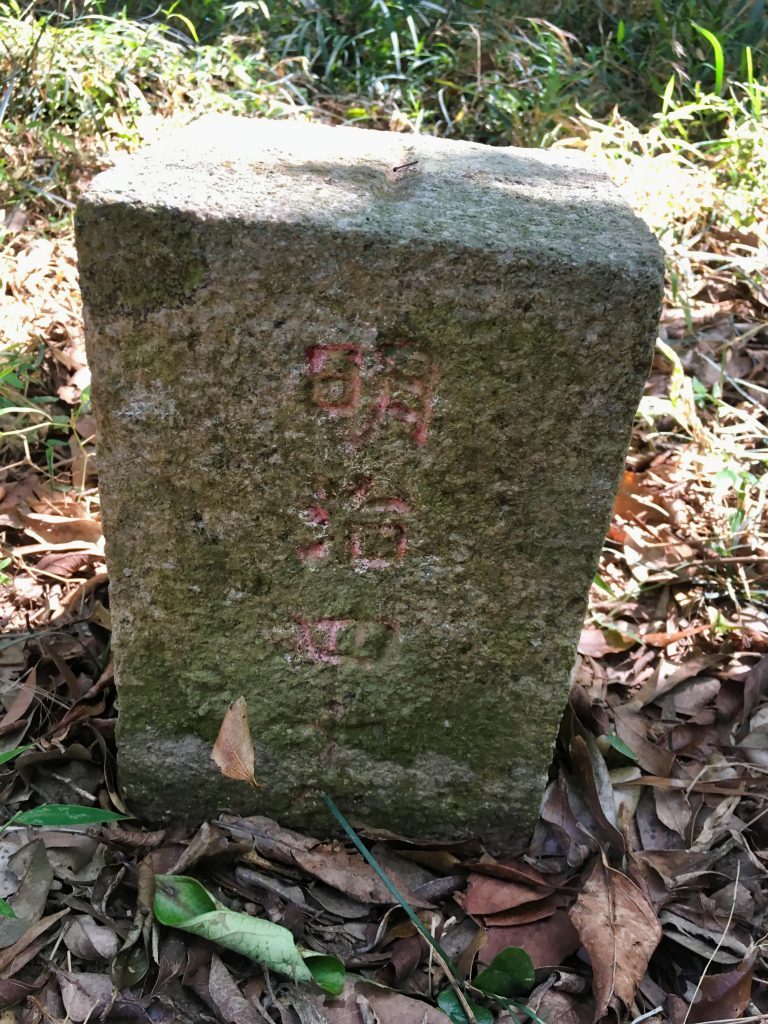
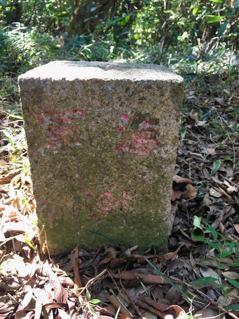
There’s a nice open area with a marker in the middle. I thought this was XiaLiLongShan, but I was wrong. Maybe someone can explain what this marker is about. Just a random survey point I guess. If you look on openstreetmaps.org here: https://www.openstreetmap.org/node/5585728074#map=19/22.16917/120.72004&layers=CNDG you’ll see four points. This is one of them.
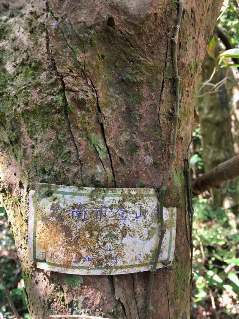
These signs were nailed to the trees.
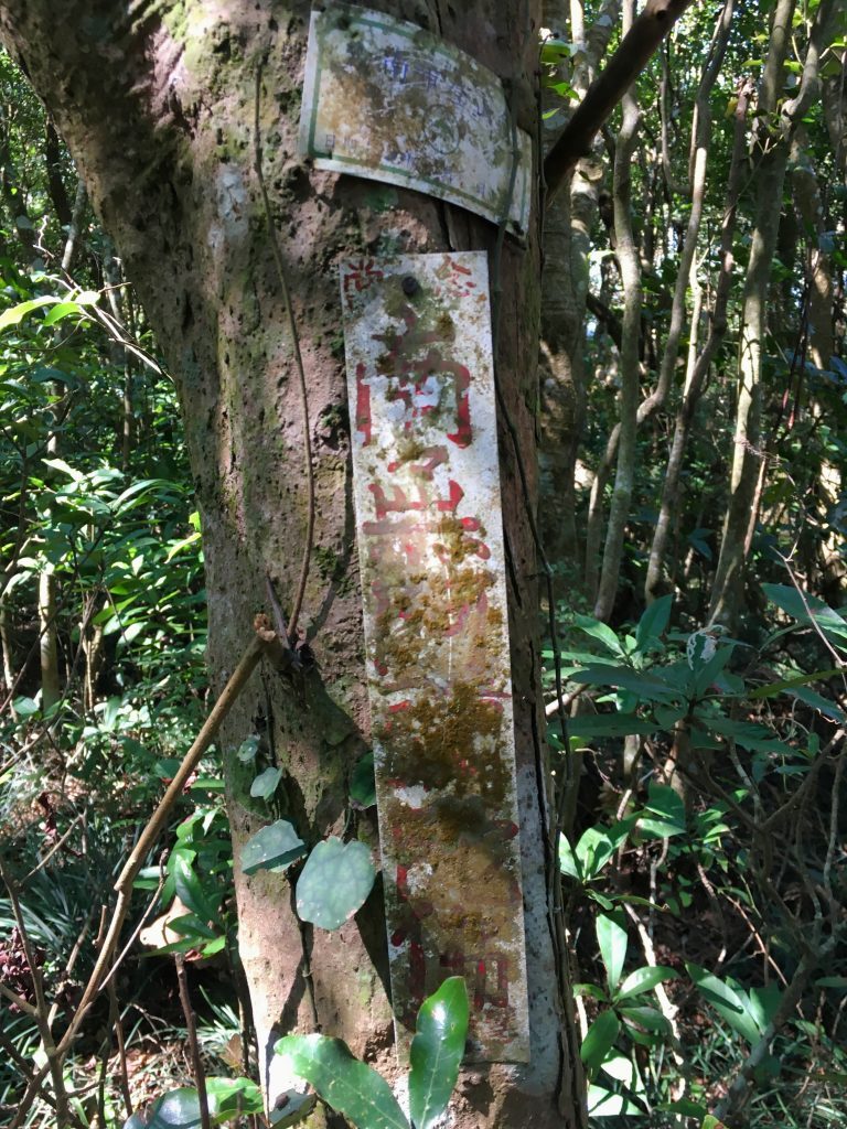
A few minutes up from this marker is XiaLiLongShan.
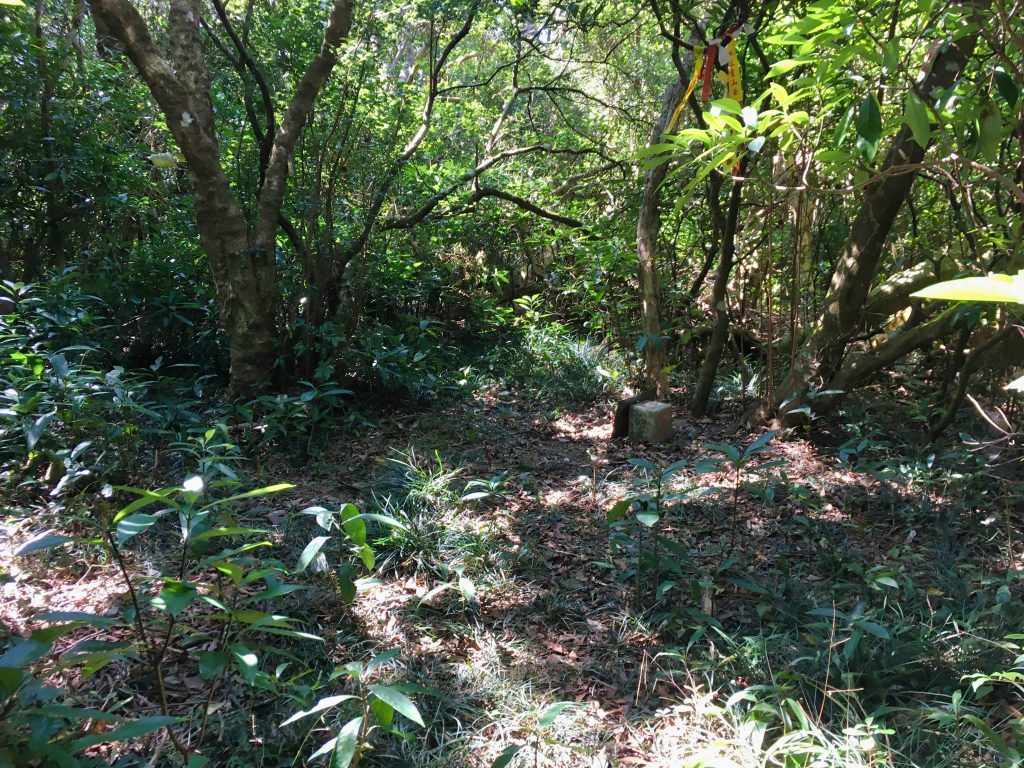
It’s not so impressive, right?
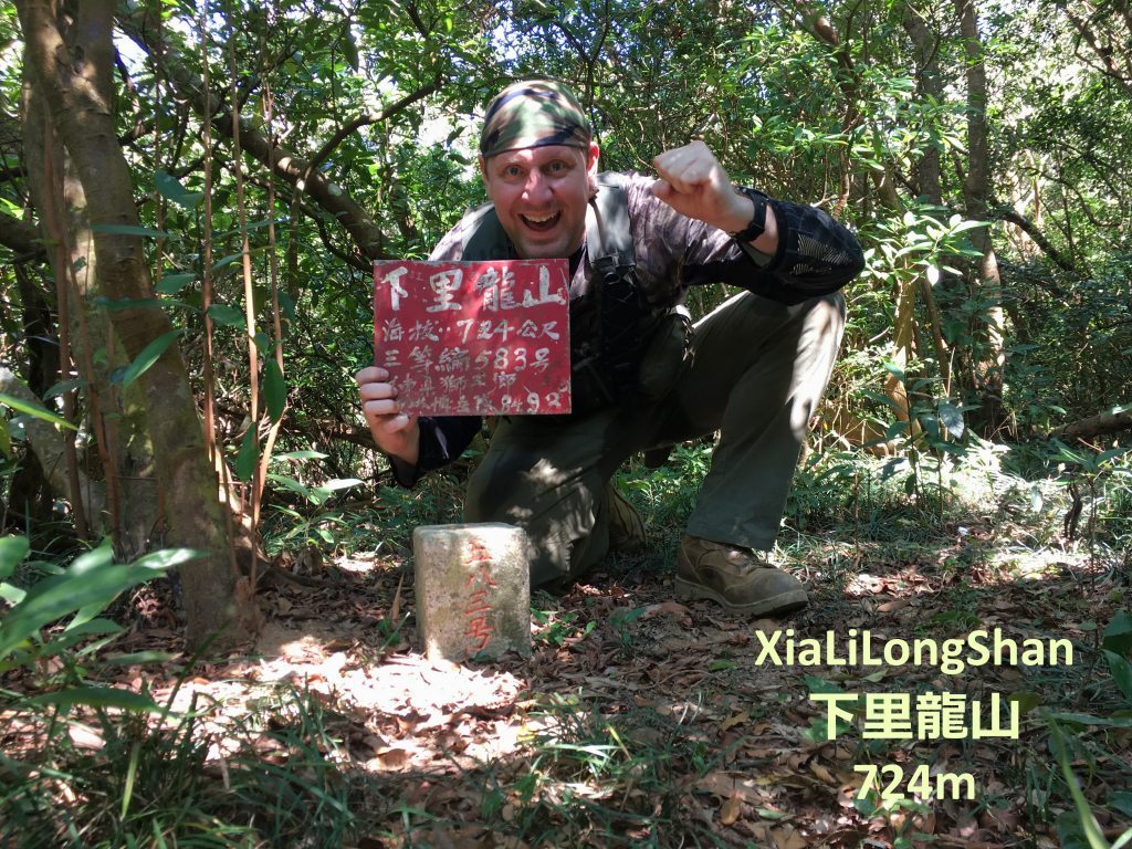
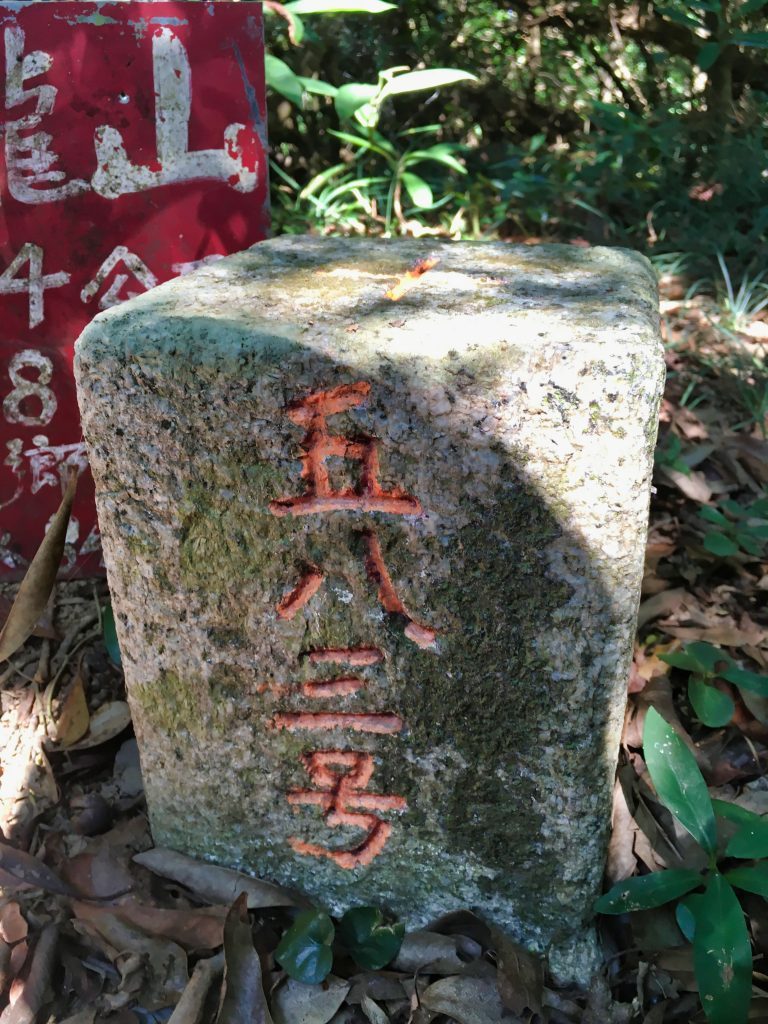
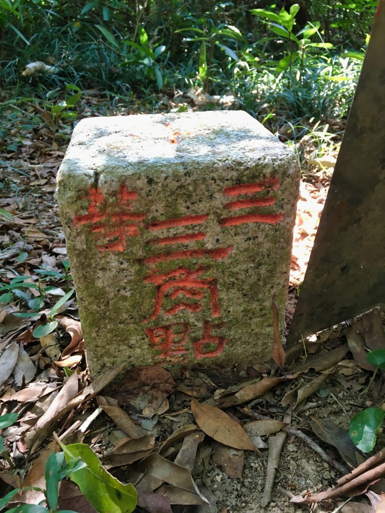
Another thirty minutes later and I was back at the intersection. From there it’s a quick stroll to the large rest area.
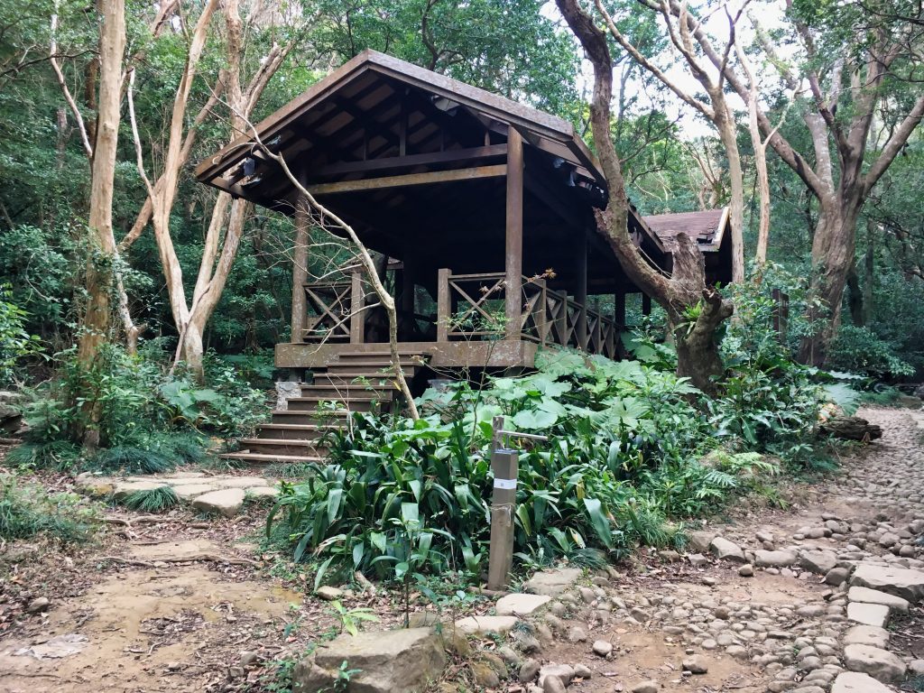
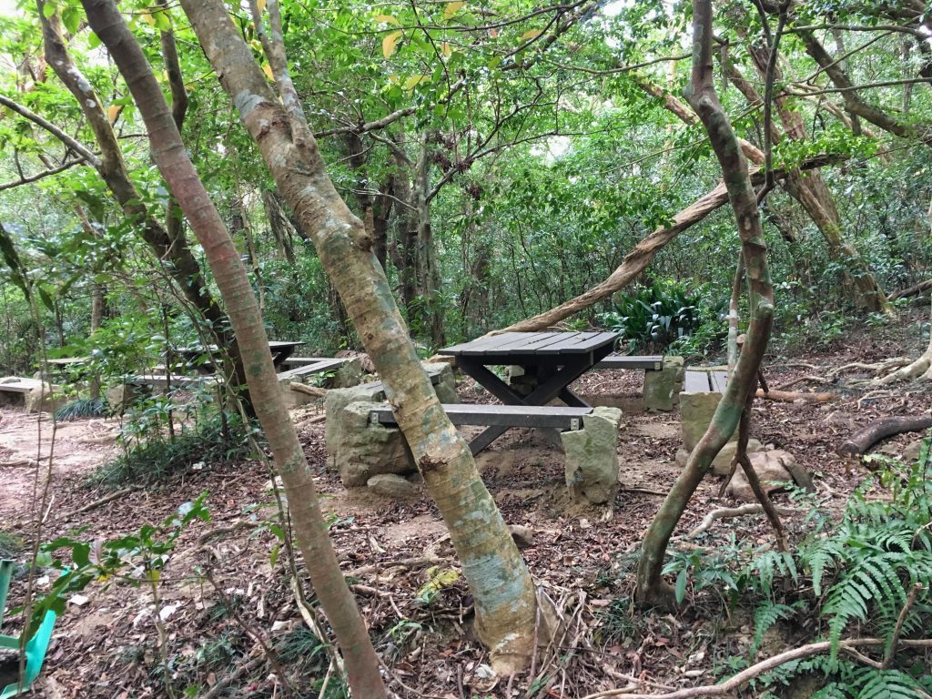
Aside from the pavilion, there are a lot of picnic tables scattered about. Some are even hidden up in the trees and down by a little stream.
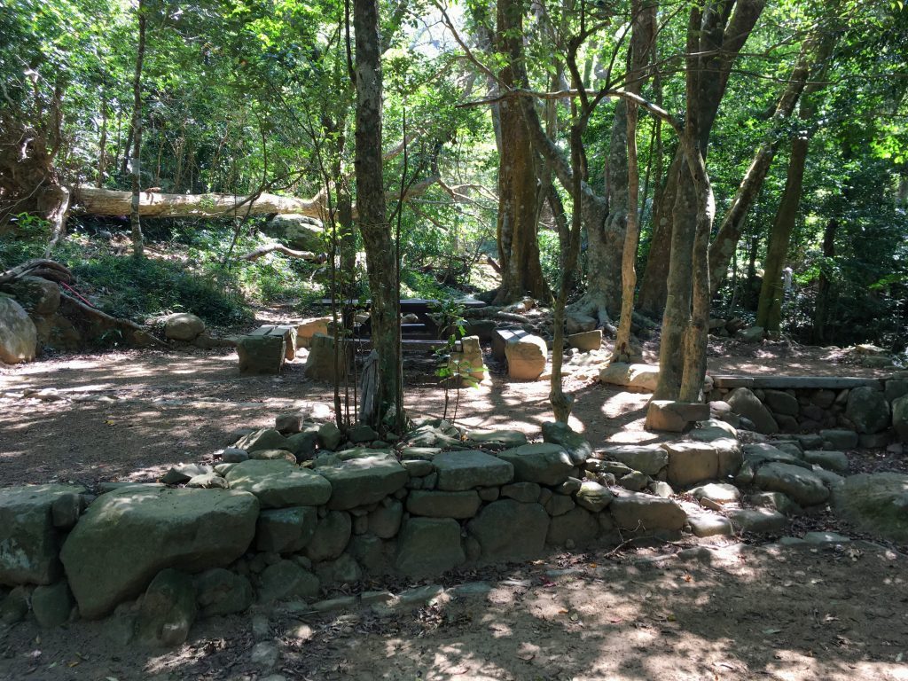
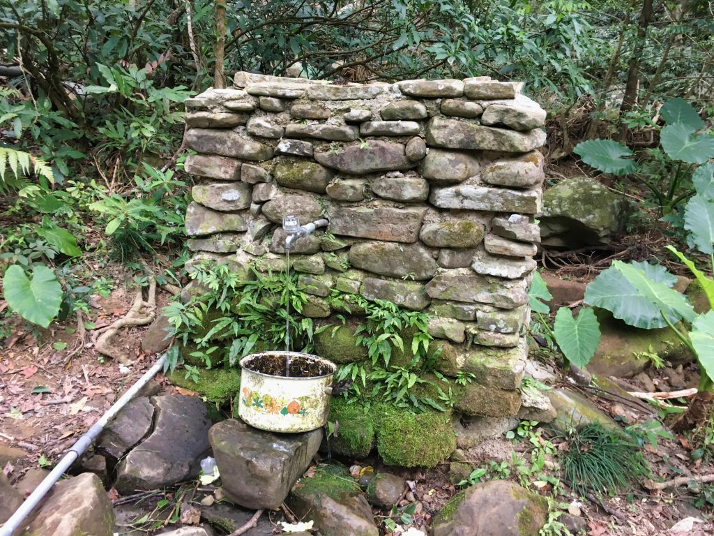
There’s also a working spigot if you need water.
Somehow this thermometer has managed to survive.
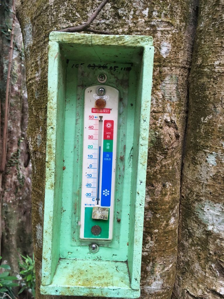
Survive what? Well, the back of this area looks to have been wiped out. Some picnic tables have been removed by nature.
These are the only shots I got of the carnage.
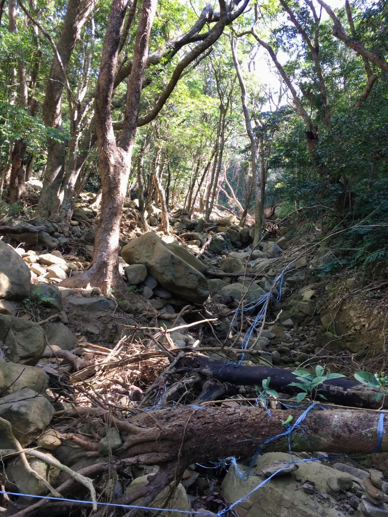
I found this next picture from a blog post many, many years ago. I believe this is the exact same stream.
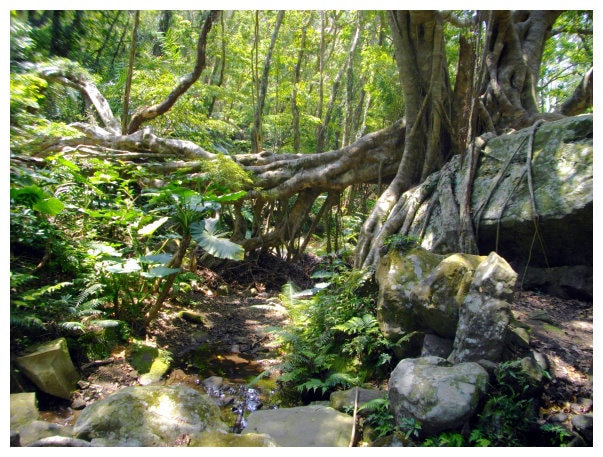
I’m not sure what this used to be.
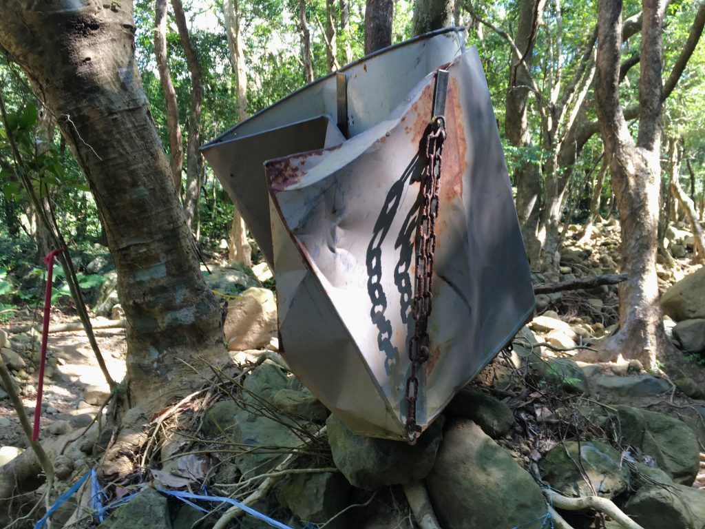
There were some people eating lunch here, so I decided not to rest.
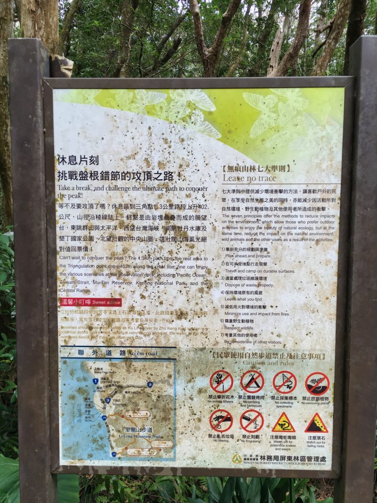
According to the map, I had a little challenge ahead of me.
A 1.3 kilometer hike to the top.
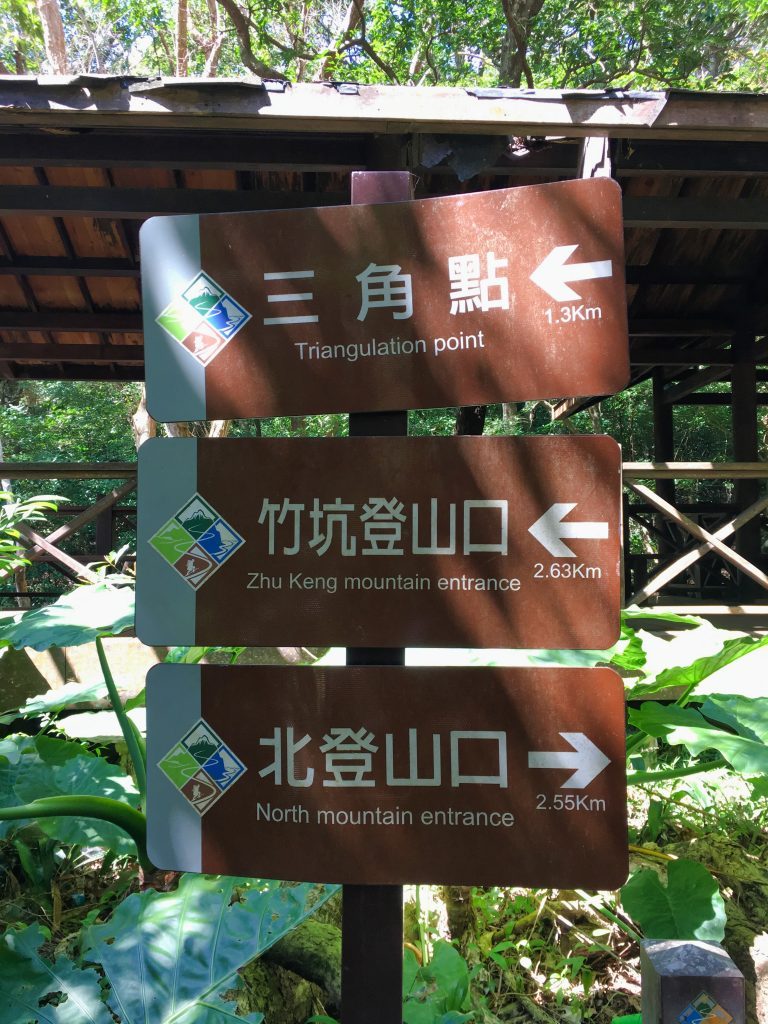
Had I payed attention, I would have know that every bit of that 1.3 kilometers was going straight up. I think it was better that I hadn’t known. It wasn’t difficult by any means, but it was a heckuva lot of steps!
And here it started (with a nice flat path to trick me no less!)
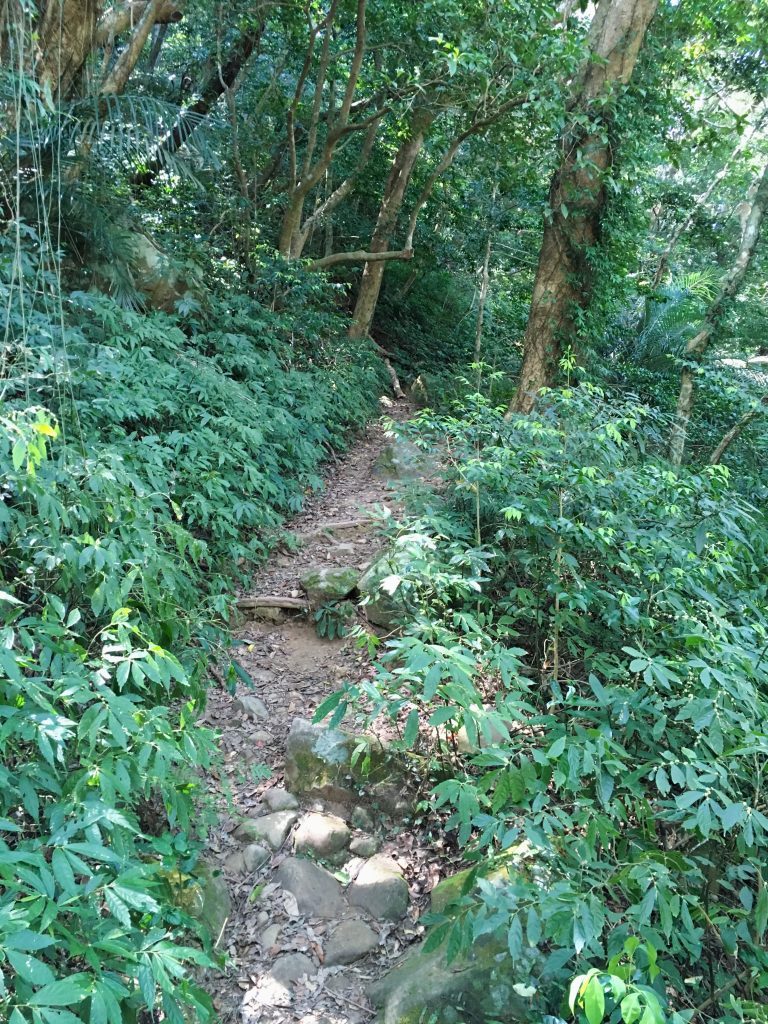
But conditions quickly change.
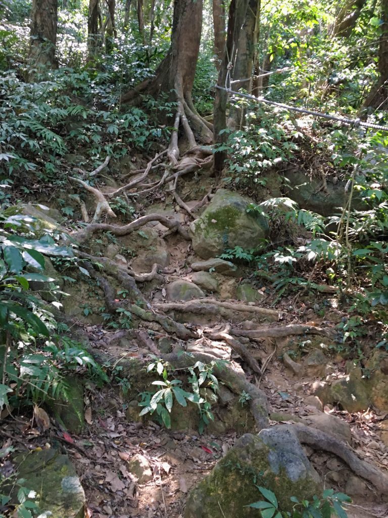
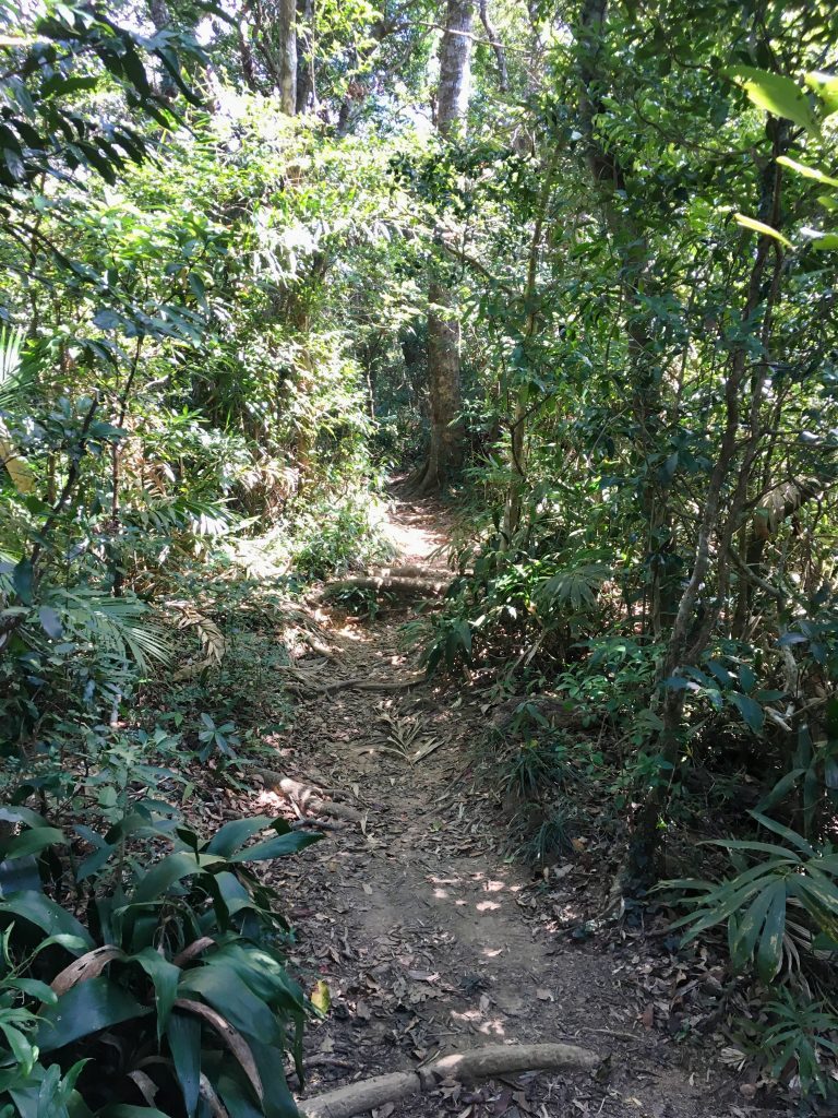
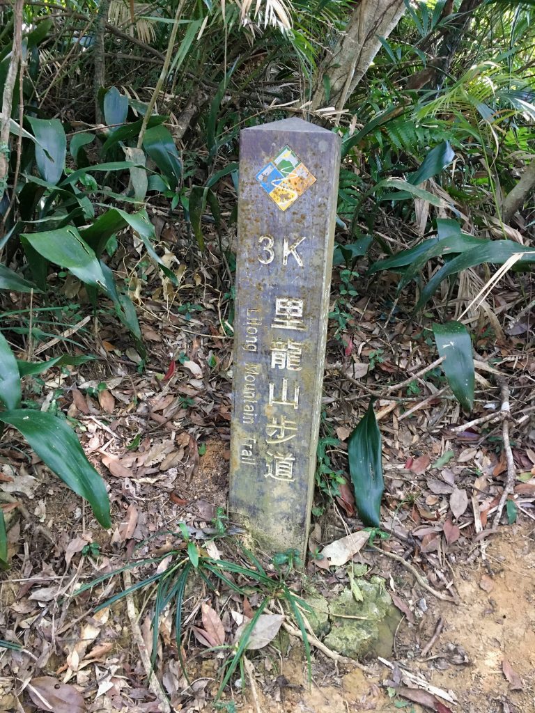
850 meters to go!
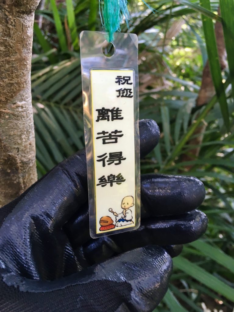
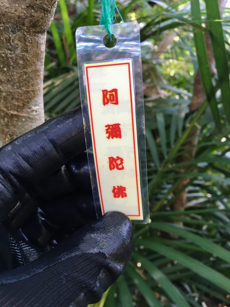
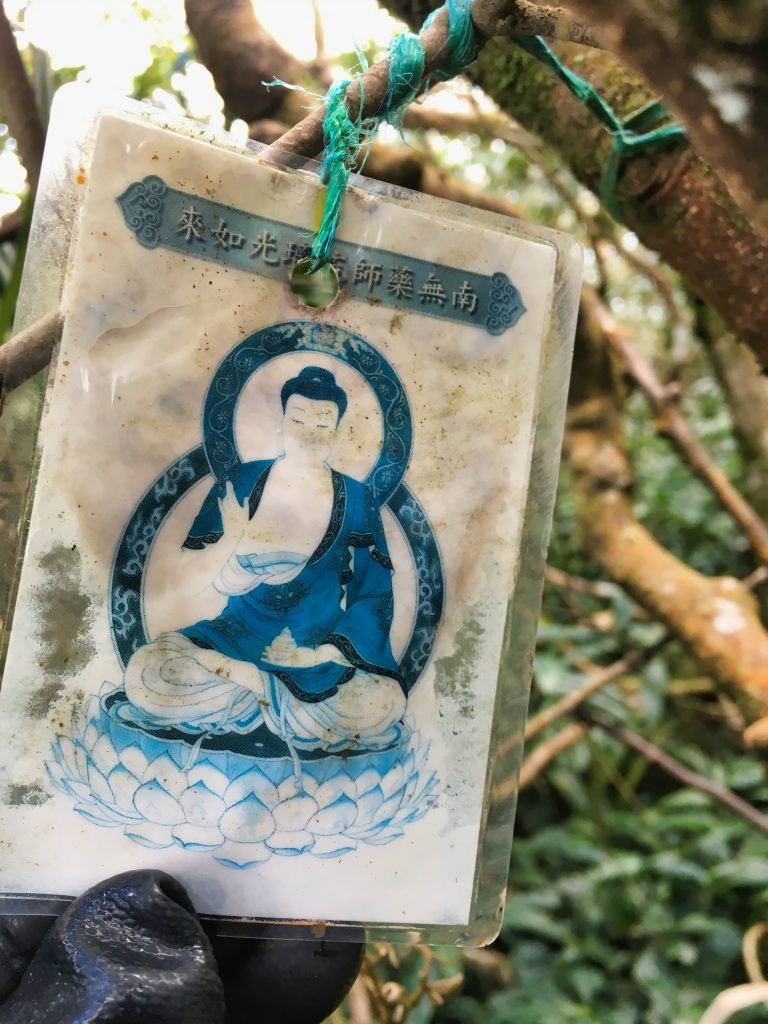
There are various religious items stuck to the trees.
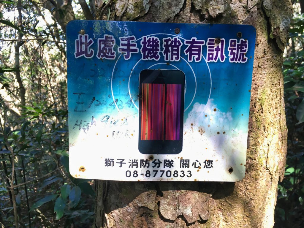
As well as a couple signs promising a cellphone signal.
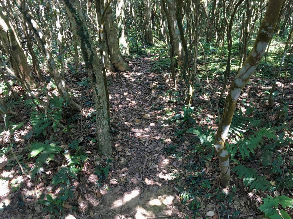
Roughly more than halfway up I found a trail leading off to the north. It’s possible this is where trail number 1 on the map above links up with this trail. But I think this is something else. Trail 1 appears to meet up with trail 2 at the peak. I did find a trail near the top that went in that direction. So I have no idea where this one goes. If I ever go back, I might explore it.
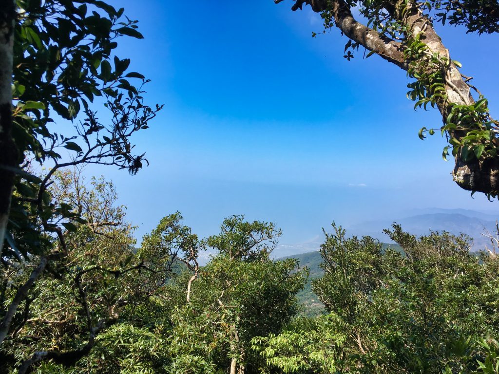
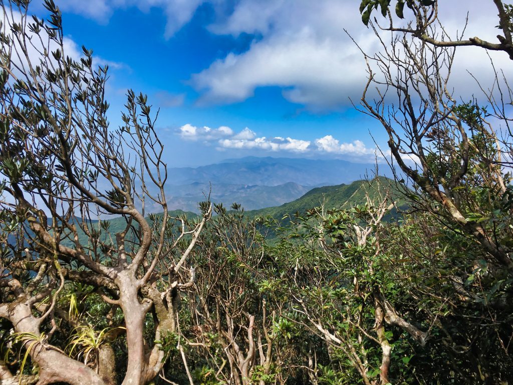
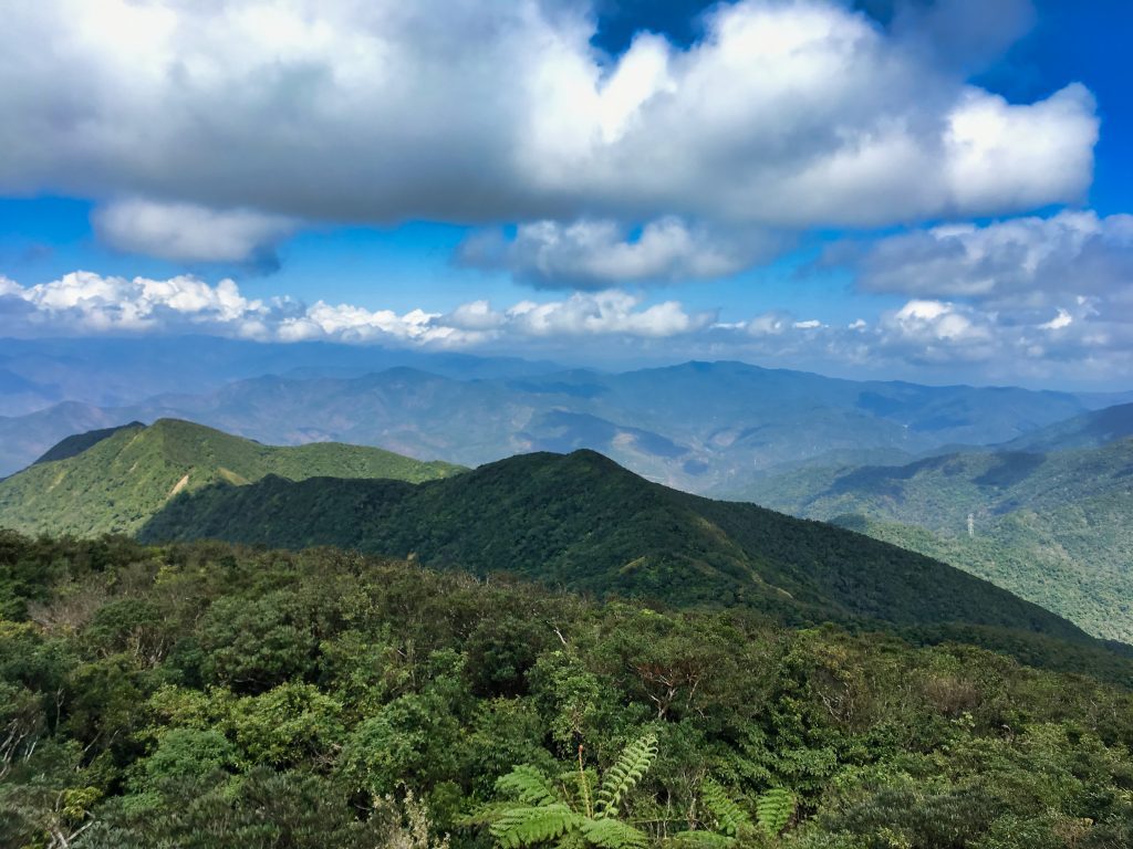
Nearing the peak you’ll get a couple spots with a view.
Once you see this view, you have about 10 more minutes til the peak. And what a peak it is!
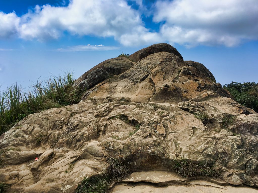
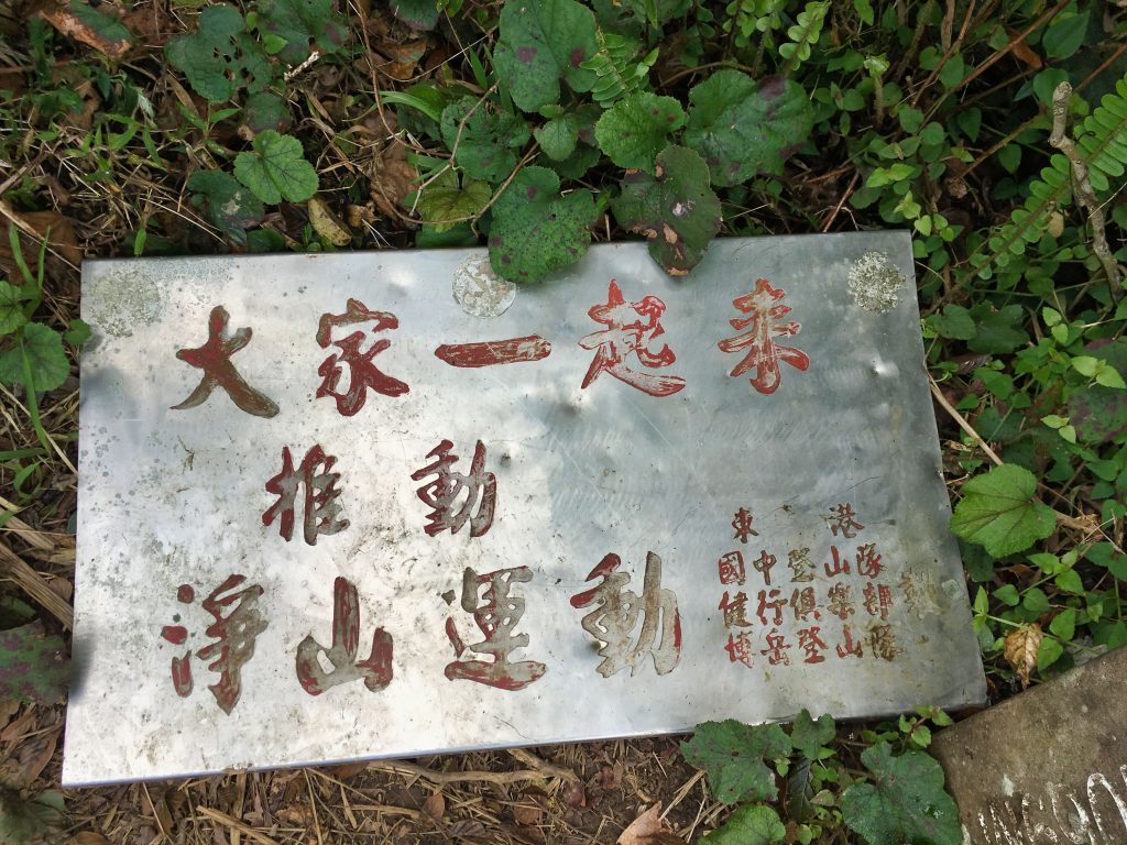
This triangle-shaped rock sits at the very top. Plenty of people have chiseled their names and messages onto it. You can climb it to get a 360 degree panoramic view.
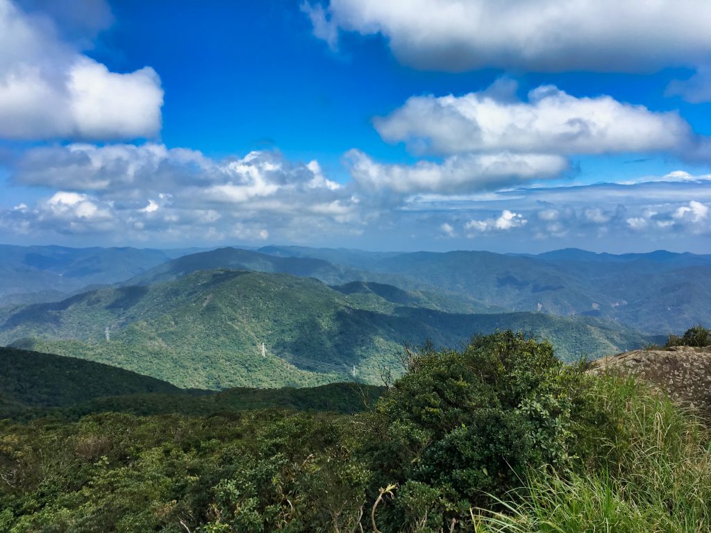
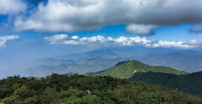
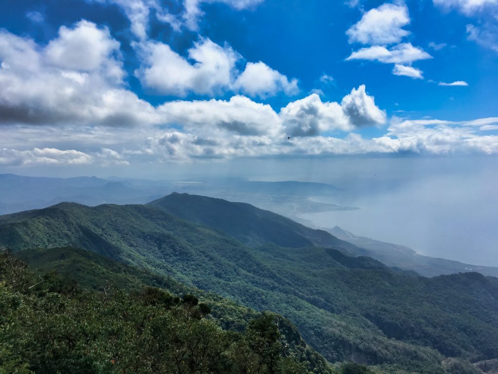
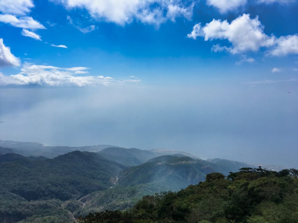
The highlight is the view of Hengchun 恆春 and the ocean if you’re lucky enough to have clear weather.
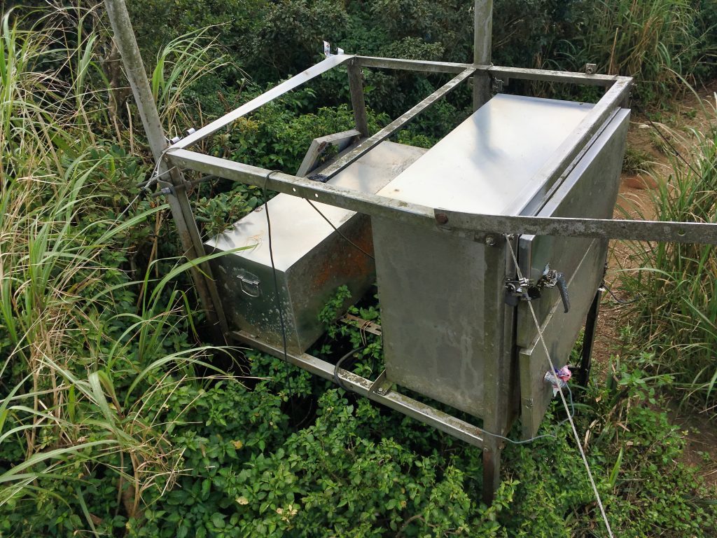
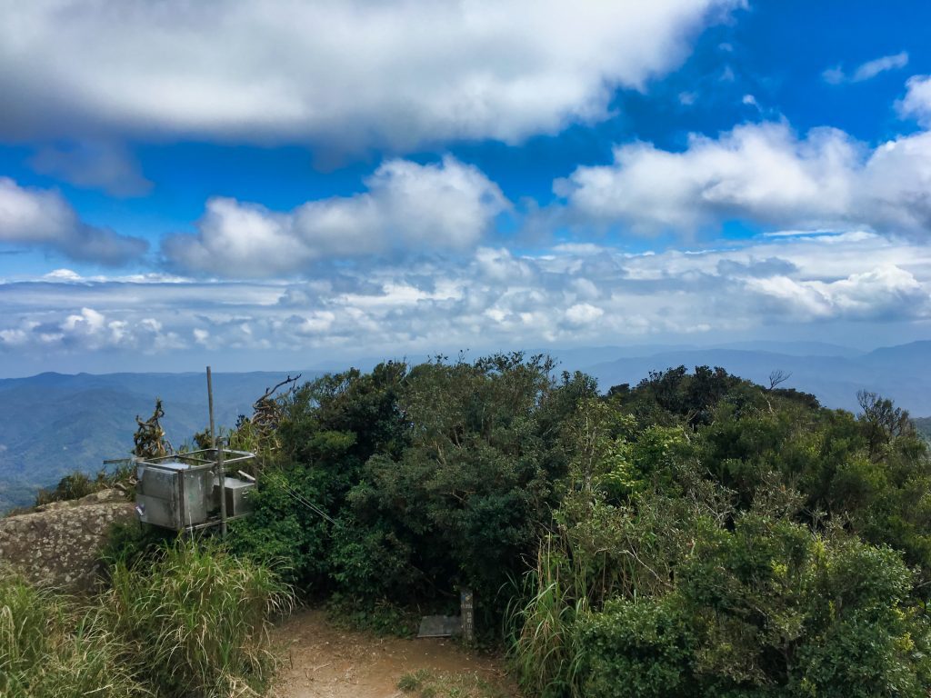
There’s some metal boxes off to the back. I didn’t really feel like looking inside.
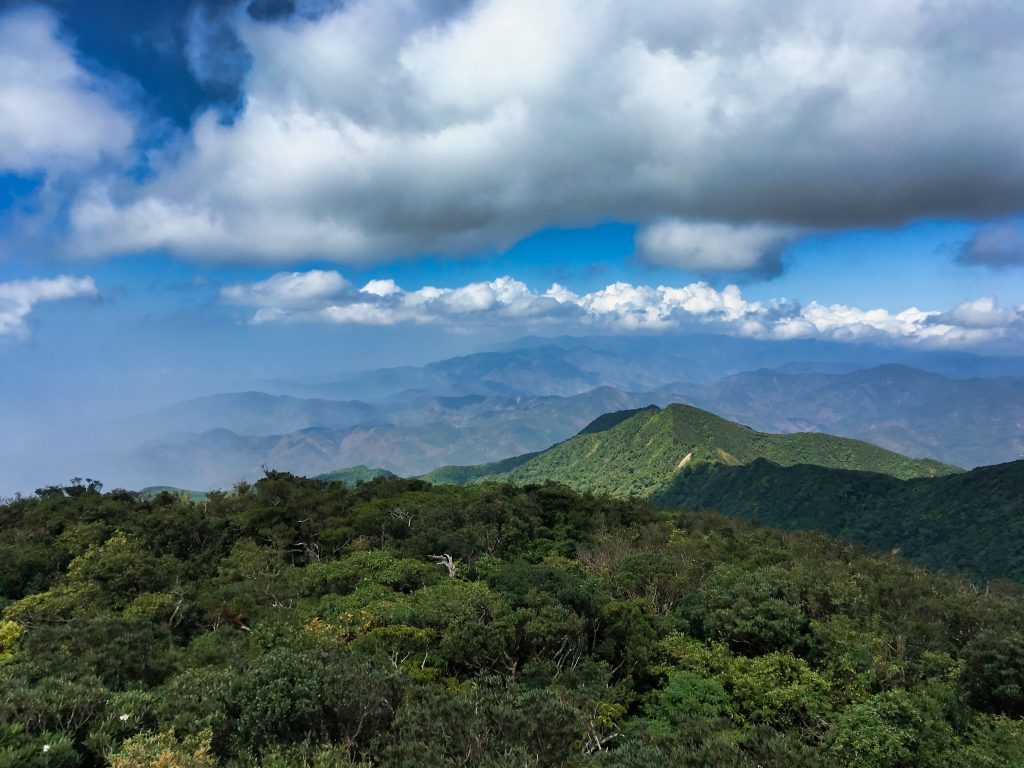
Near these boxes is another great picture taking location on top of a rock face.
You can see farms and the rest of south Taiwan in the distance.
By now I was ready for a rest and some food. So I took my peak picture and pics of whatever else I saw up there.
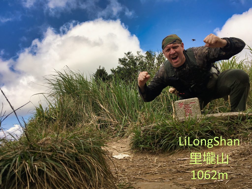
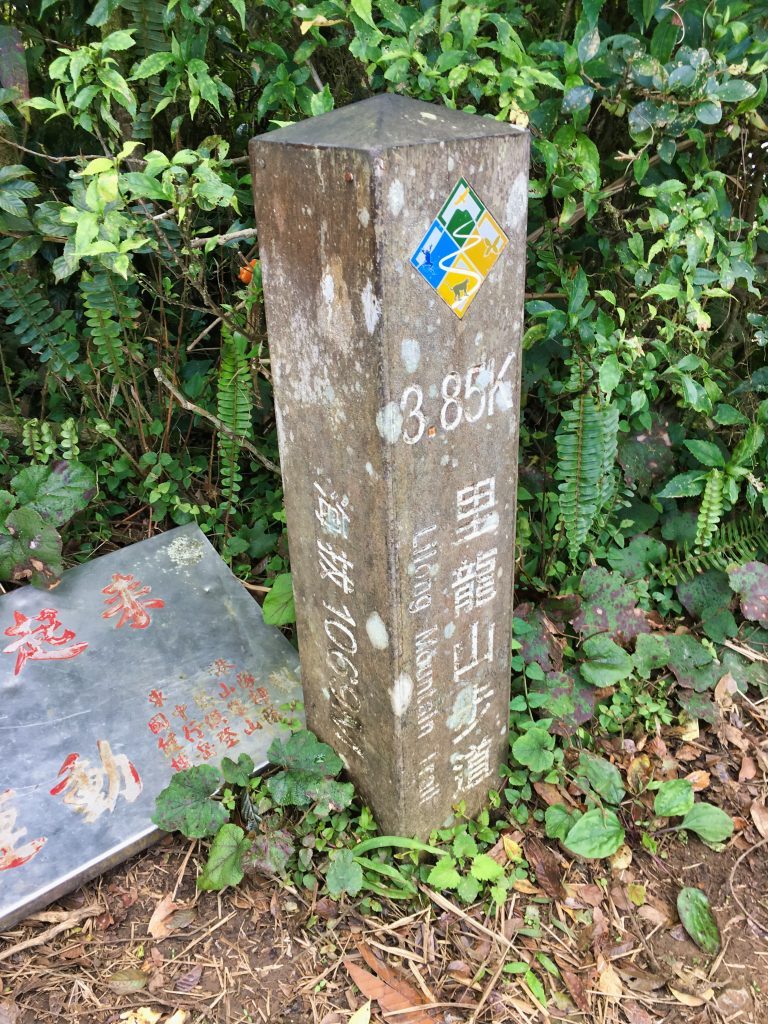
One thing to mention at this point is about the monkeys. I heard a couple of them off to the side of the peak. They were yelling at me. I yelled back. And they yelled again. This went on for a minute or so. (what can I say? It gets lonely out there!) Eventually I won and they jumped away. I would be careful about laying your food and stuff around up there. It’s quite possible they might be thieves.
I found myself a nice spot on that big rock and started changing my clothes. I sweat a lot…so hanging my shirt and pants to dry is a typical ritual for me. You’re probably thinking “your pants!?” Well, yeah…I’m usually hiking in places with no people around ever. Hahaha… The 10 or so hikers I passed on the way up should have tipped me off that more people might be behind me, but it didn’t.
As I was undressing, I suddenly heard female voices. Their voices were quickly getting louder. Crap! I had very little time to get my clothes back on. Luckily I was only shirtless by the time the first woman popped her head out of the underbrush. Whew!
They turned out to be a group of three female hikers from Tainan. They’re nice ladies I hope to have the chance to hike with again. (we briefly hiked together on the way down.)
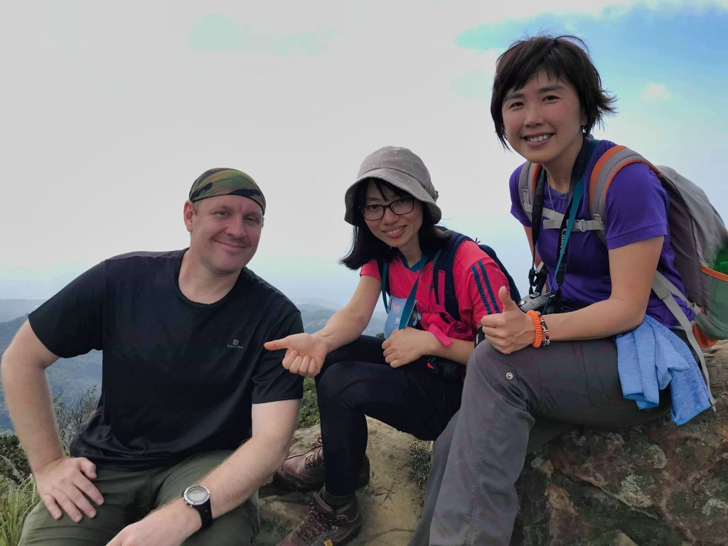
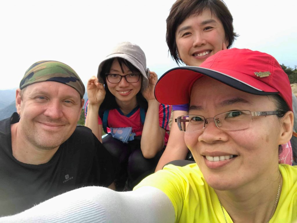
And that pretty much ends my story. It took me about four and a half hours to reach the peak, which included the detour to the lower peak; and about two and a half hours to get back down.
On the way down I found this rock that looked like a foot was carved into it.

And that’s it. I recommend this hike to anyone who’s in reasonable shape. It’s not that difficult.
Date hiked: 2019 February 27
GPX Track Download Instructions: Click the track on the map to see the download link



![[Valid RSS]](https://outrecording.b-cdn.net/wp-content/uploads/2020/03/valid-rss-rogers.png)
發佈留言