

I contemplated not posting about this tiny peak. But figured it IS a peak, and has a nice view. So here goes…
I had just installed new suspension valves on my motorcycle and was itching to try them out, so I headed out to the mountains to see what they could do. Since I also wanted to hike, I chose a place between Maolin and Sandimen because there was a peak only a short hike away from the main trail. At only 733 meters, Long Mu Bai Shan 龍母拜山 certainly isn’t on anyone’s top 10 list (or top 100 for that matter) but it’s better than nothing.
The problem with this peak is that there’s really no other reason for you to be out there, unless like me you ride an offroad motorcycle and figure “what the heck”. From my maps it looks like the main trail splits off and links up with the Wei Liao Shan 尾寮山 trail about midpoint. Unless you really want to hike to Wei Liao Shan from a different starting point, most people will start at the Maolin entrance.
So why would you want to go there solely for this peak? My answer is, you wouldn’t. There IS a waterfall and nice small river people go to near here–Ocean God’s Waterfall, Haishengong Waterfall–but it’s further down and not on this trail. You would have to cut over to get to this trail and the trail isn’t always cleared. The first time I tried it was completely overgrown. I had thought it abandoned. Then I went back six months later and it was totally cleared and easy to ride. At the moment it’s starting to overgrow again. Perhaps a farmer uses the land seasonally.
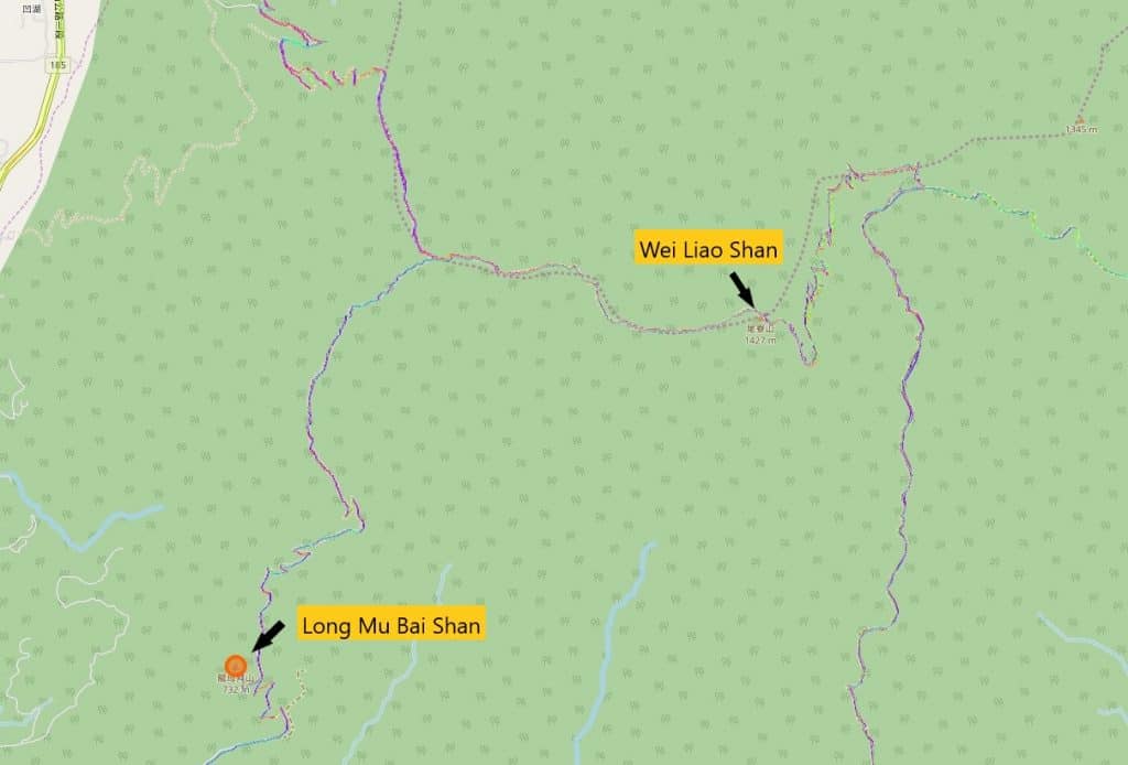
The trail head is overgrown and somewhat easy to miss. I suggest you download my GPX track to help guide you.
My bike is pointed at the start of the trail. I had to hack my way through the beginning 20 meters or so. After that I didn’t need to use my machete at all. The trail was decent enough to make out, though not great.
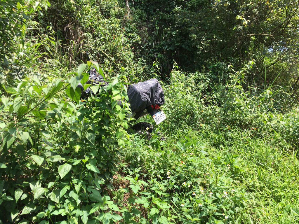
It starts off with little elevation gain and then just goes straight up.
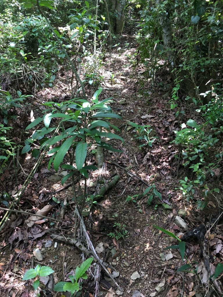
As you can see there are some ropes there, but I would take caution when using them. They’re old and one of them was attached to a pathetic sapling further up. I’m surprised it didn’t break from my weight. I didn’t think to get a picture of the sapling; just the rope in general.
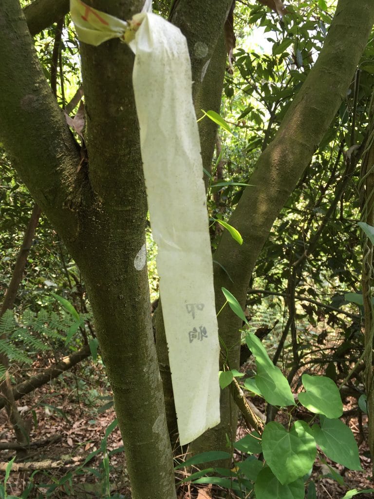
There were a couple hiking ribbons along the way.
It took me almost 40 minutes to reach the top and 15 minutes to get back down. I wasted some time trying to figure out where the trail was on the way up. If I did it again I could probably get to the top in about 25 minutes.
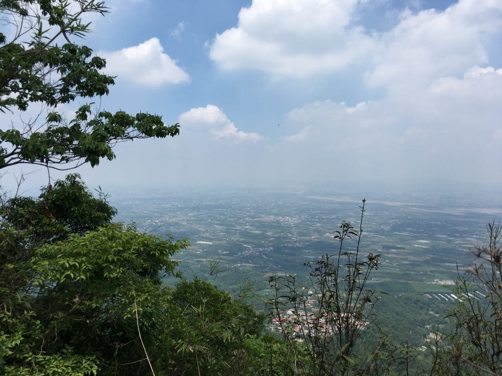
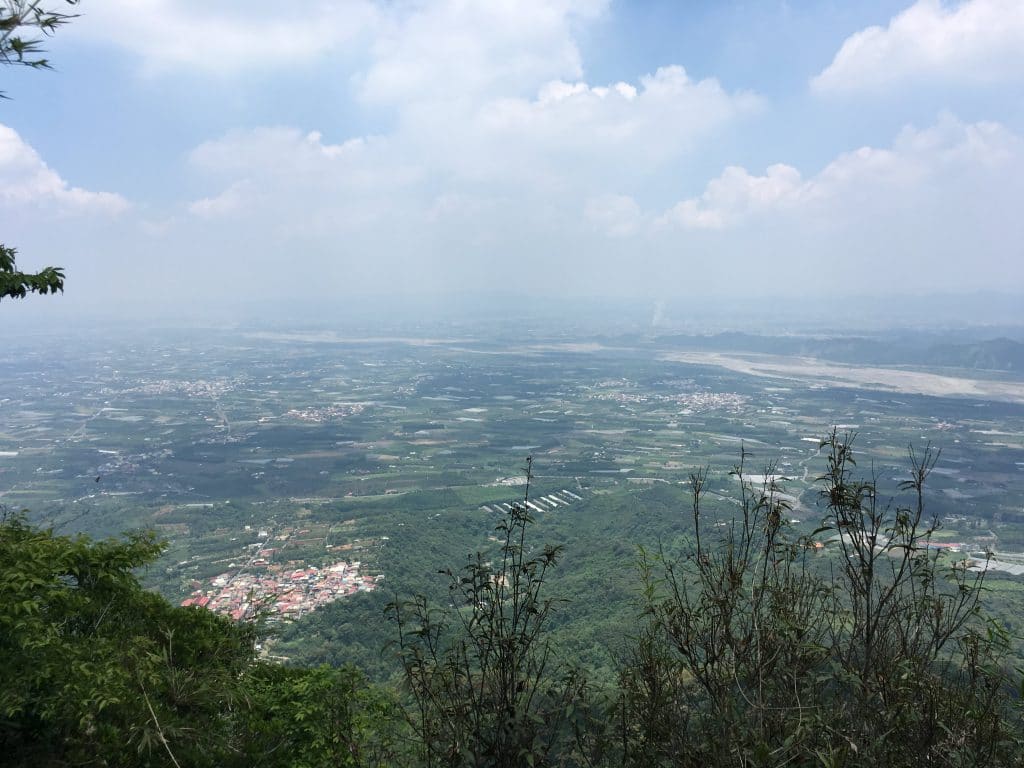
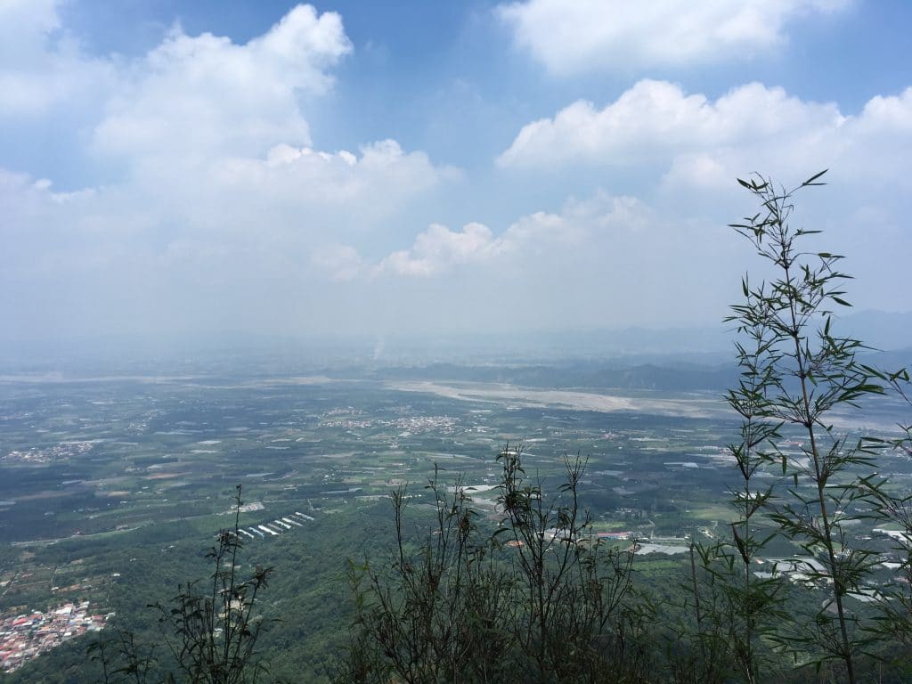
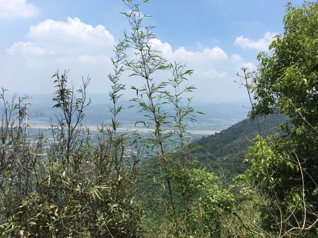
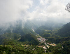
The view from the peak was great.
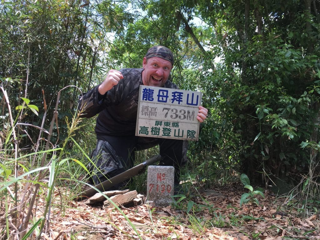
And the obligatory peak picture
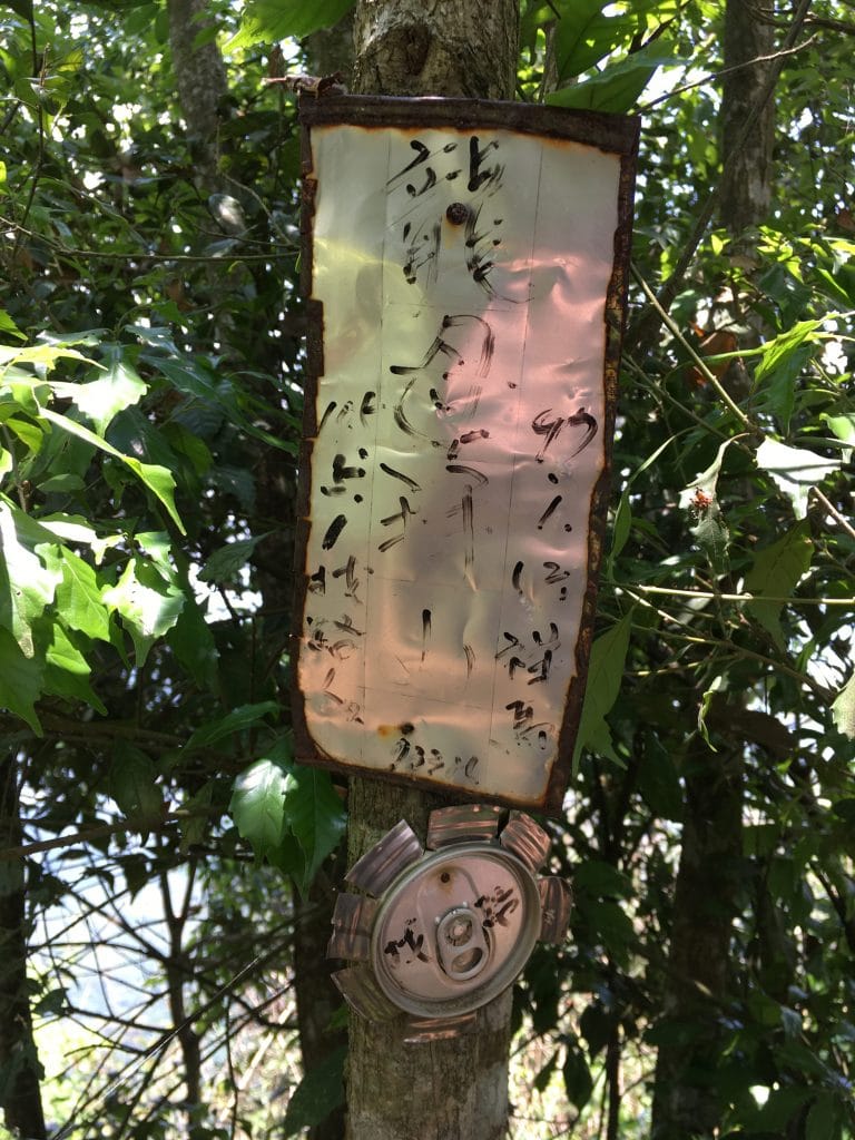
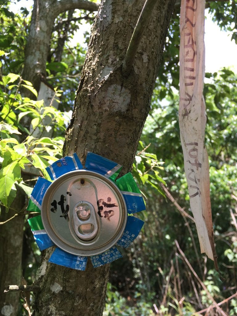
There were these can tops nailed to the trees with writing on them. I’m not sure what they’re about.

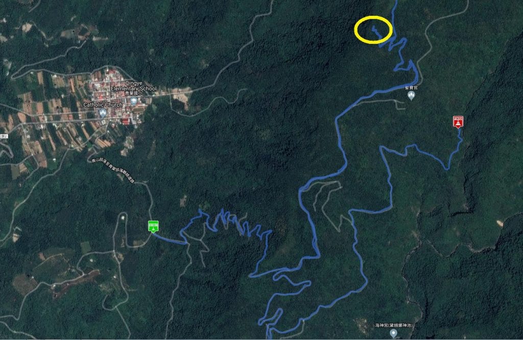
The peak is located where the yellow circle is. Since I rode around that day you’ll be getting my entire track. I didn’t think to add a waypoint when I was on the peak. Also, I wouldn’t recommend starting where I started unless you’re on foot or really sure of your driving skills. That zigzagging up at the beginning isn’t the best terrain. Go to the page I linked above about Haishen waterfall and follow that track until it links up with mine. On my track the “Finish” is where you can find a nice little spot to sit by a mountain stream to take a break. The waterfall is close to there but not easy to find. Good luck!
Date Hiked: 2018 June 04
GPX Track Download Instructions: Click the track on the map to see the download link


![[Valid RSS]](https://outrecording.b-cdn.net/wp-content/uploads/2020/03/valid-rss-rogers.png.webp)
Just having read your (adventure going alone up to 龍母拜), I really admire your spirit nearly to be said running around the mountains. In fact, I did it alone before, too. Including other mountains along that mountain-road, having called on my blood, I had spend some days there and much enjoyed it. If your interesting coming back, I would like to go again.
Thanks! I appreciate it. I usually go to the mountains on the weekdays. I enjoy seeing less people on the trails. 🙂 I want to hike to Weiliao 尾寮山 using the route I mentioned in my post. (Hiking past 龍母拜 and finding the trail that connects to the 尾寮 trail). I think it might not be easy but should be fun!