Last year I learned about the existence of the Liugui Security Path – 六龜警備道, and I’ve been wanting to hike it ever since. At over 53 kilometers in total distance it’s said to take 6~8 days to complete. I only had two days, so my plan was to hike the portion from Tengzhih to its end near Maolin village.
The History
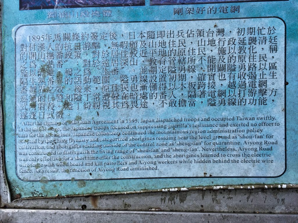
To give a little history about the trail, it was originally built sometime in the late 1800’s to help protect workers that harvested camphor from attacks by the aboriginals. In total, 53 garrisons were set up along the trail. Two or three soldiers (or police?) were stationed every 50 meters. Electrified wire was also used to stop incursions. However, the aboriginals eventually learned how to cross these electric fences to kill the soldiers and workers. It seems this diminished the purpose of the trail and at some point it was more or less abandoned.
Here are my sources if you’re interested.
Uncovering Forgotten Japanese-era Remains
https://recreation.forest.gov.tw/EN/Trail/RT?typ=3&tr_id=120
The second link mentions “landmines” as one of the methods used as a deterrent. I doubt any of them are still around in working order, but I still wish I had known that before starting the hike. 🙂
There are several ways you can hike sections of the original trail. All that I know about is the section that starts in Tengzhih and goes to Maolin (茂林). You can also start in a couple places in Maolin and hike towards Tengzhih as far as you’d like. There are plenty of old walls and ruins to see along the way. I hiked some of this last year; http://outrecording.com/w5QPa
The trail goes as far up north as Baolai (寶來) in Taoyuan, but I have no clue if it’s still around or what parts are hike-able. But hiking from Tengzhih to Maolin was more than enough to keep me plenty busy!
The Hike – Day 01
I woke up extra early and drove my motorcycle to Tengzhih – 籐枝 and found the trail head without a problem.
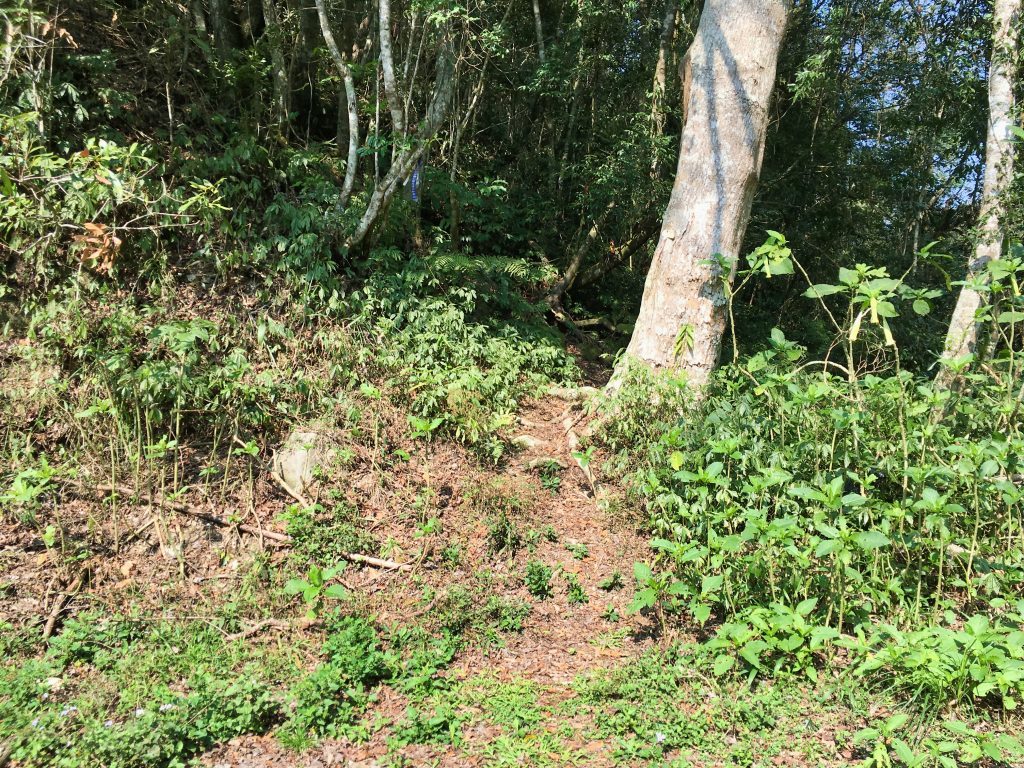
However, I did have a problem after I parked my bike while I was preparing my gear.
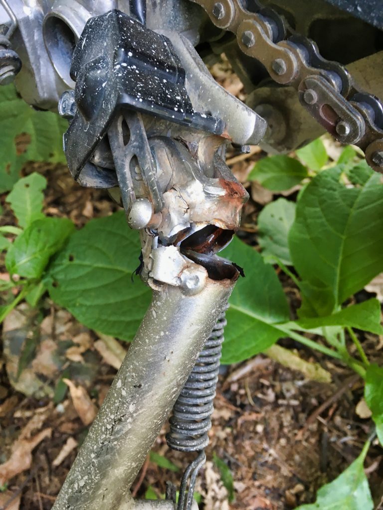
My bike suddenly fell over and broke my kickstand! I was hoping that wasn’t a bad omen about the hike to come. There was no way I could fix it, so I found another solution.
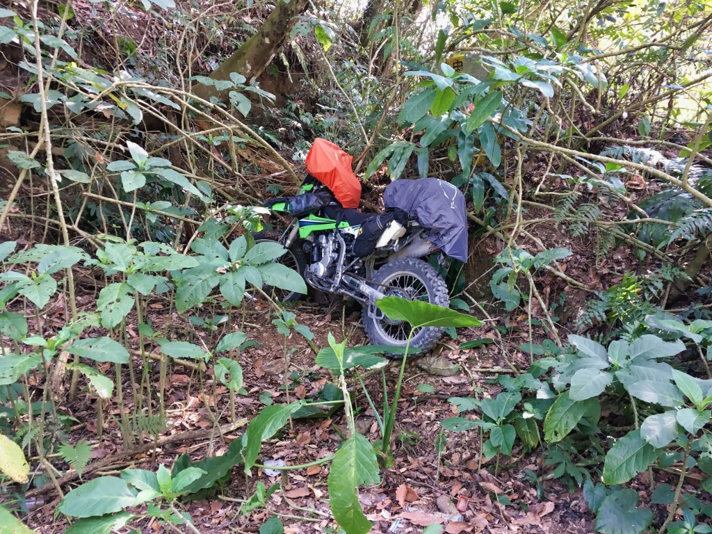
My plan was to hike as far as I could on day 1, camp, then hike the rest of the way to Maolin village on day 2. My wife would then pick me up and drive me back here to get my bike. That’s more or less how it went.
One important thing to note. I was told that I might not be able to find a water source anywhere along the trail. This worried me a bit, so I brought what I thought would be enough water, 10 liters. I also bought two MRE’s for my dinner and breakfast so I wouldn’t need to use much water when cooking. I thought I would be fine with water, but that wasn’t the case. More on that later.
The trail head is located along a mountain road that can be driven on by a car.
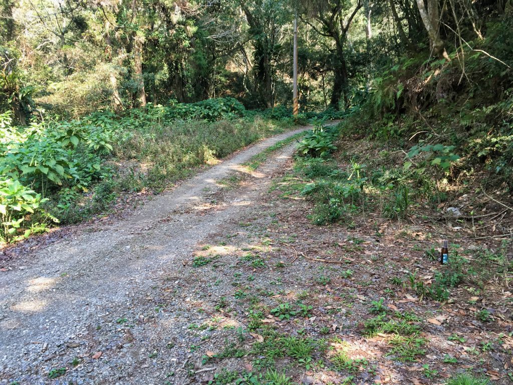
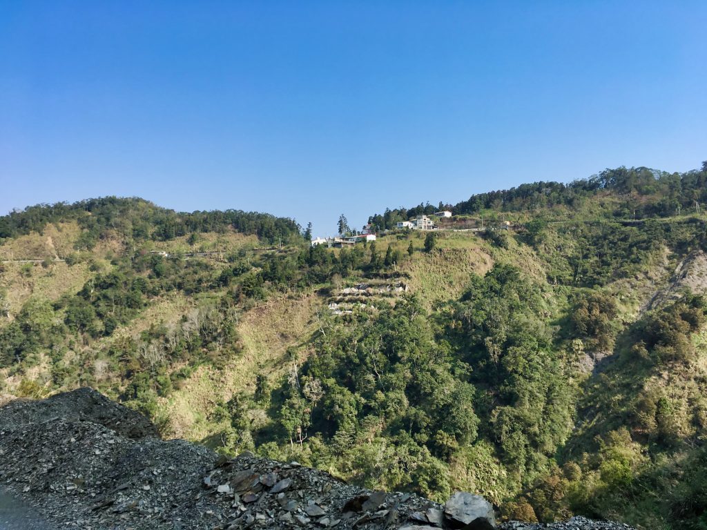
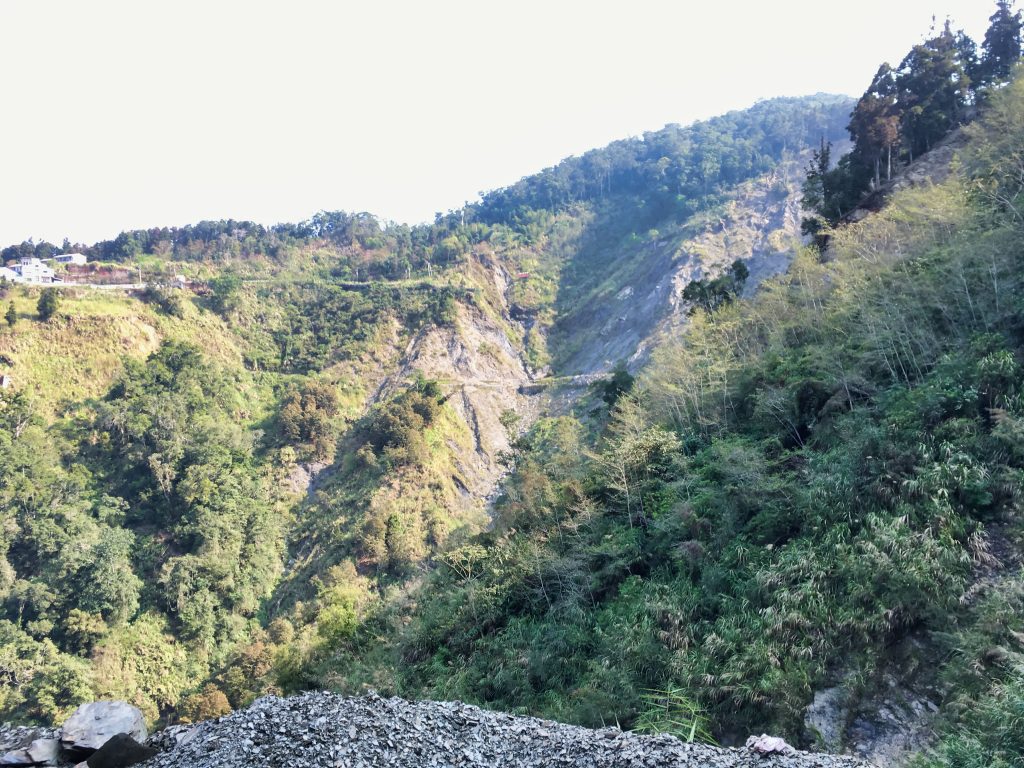
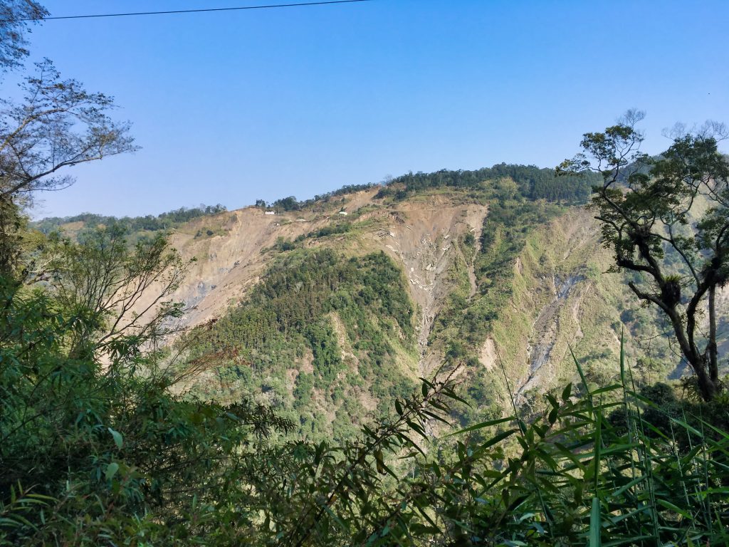
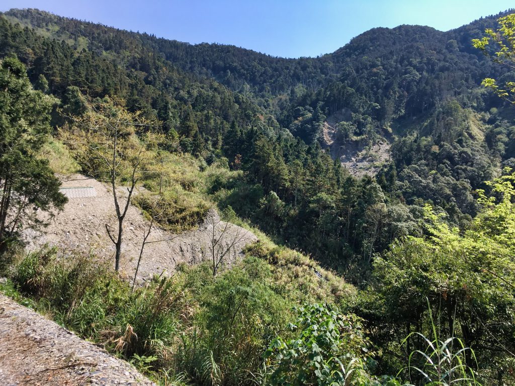
However, I would suggest parking several kilometers before this point. There was a massive landslide near the entrance of the Tengzhih National Park that had destroyed a large section of this road and various smaller sections along the way. They have since been repaired, but unless you live out here (I believe there are two houses with people living in them) I wouldn’t want to take the risk of driving it on four wheels. As for two wheeled vehicles…no problem!
Here are some shots of the landslides and road from a distance.
Years ago before typhoon Morakot’s destruction of this area, I remember eating dinner at a restaurant up there. Now most of it is scattered along the mountainside. 🙁
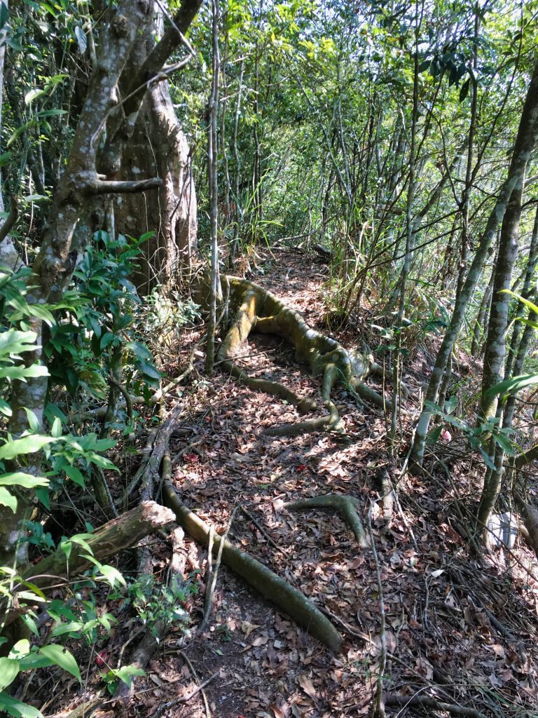
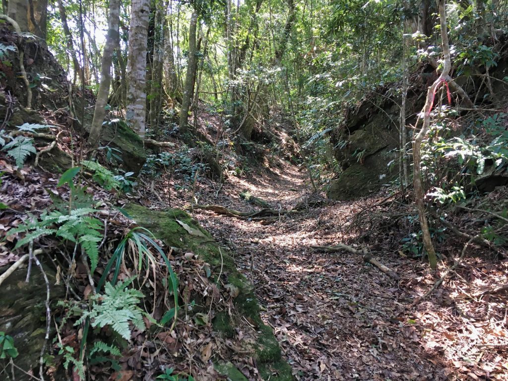
The beginning of the hike was pretty standard. I was hiking up and the trail was single track.
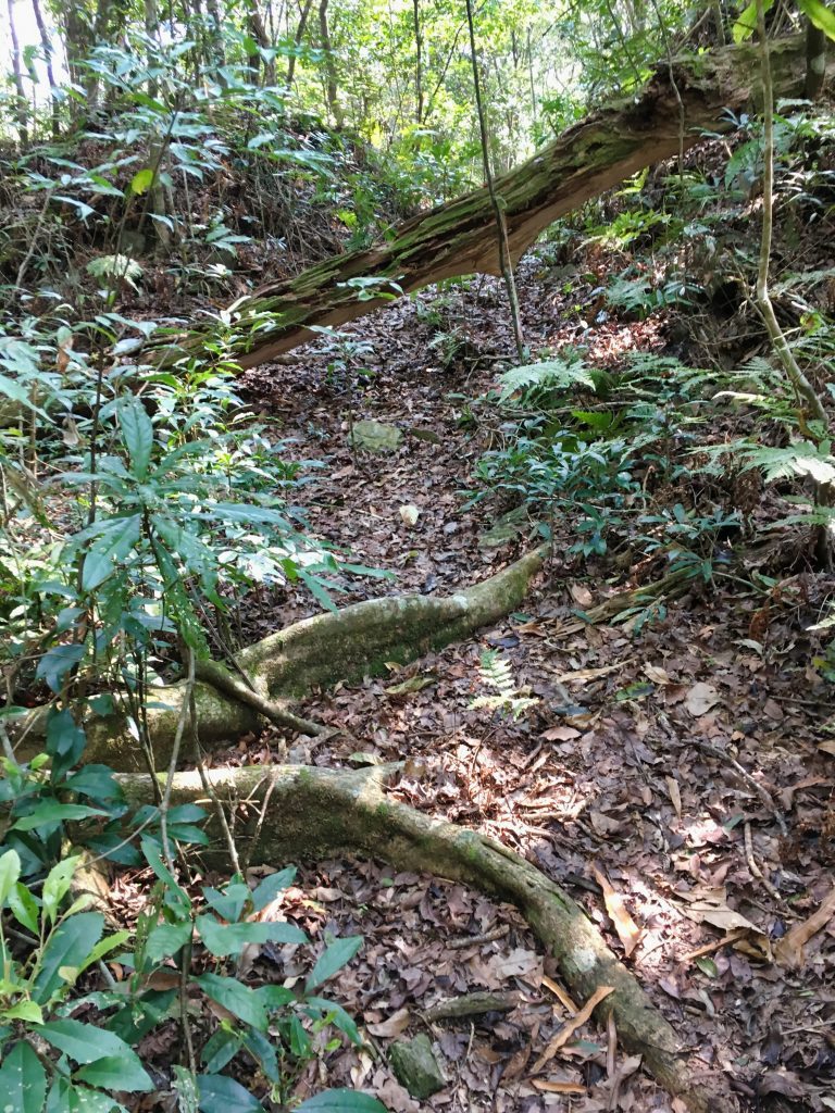
One funny thing that happened early on was a helicopter that kept flying back and forth a few kilometers behind me. I have no idea what it was doing, but it was flying for a good 30 minutes. I jokingly told myself that they were looking for me and sweeping the mountains in search of me. haha… Eventually it stopped and I could get my head back into the hike ahead of me.
Early on I hit my first rope climb.
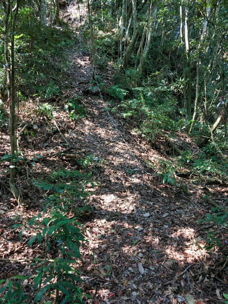
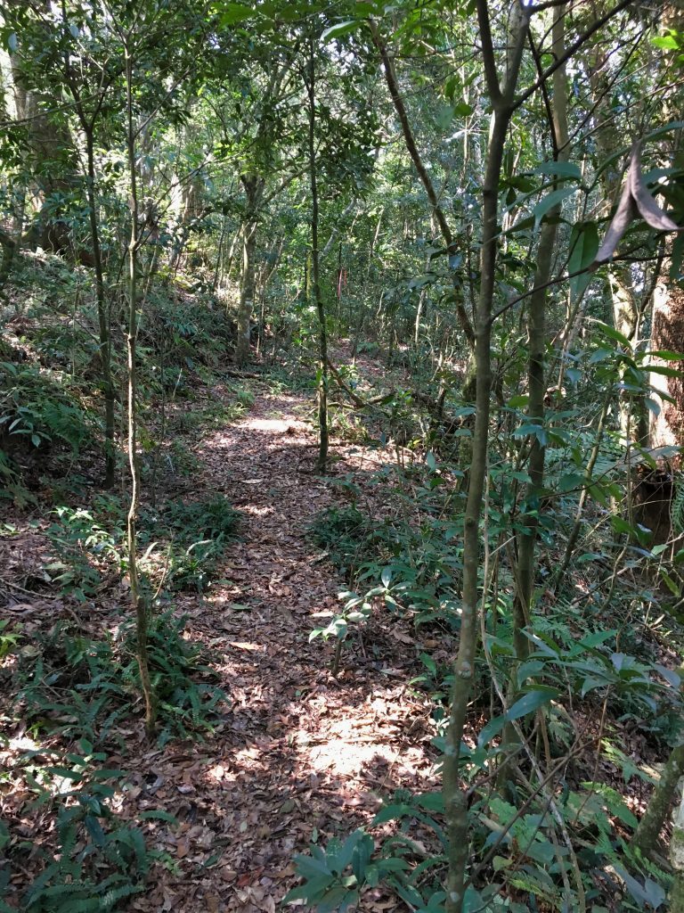
There wasn’t much to see on my way to my first objective, JianFuShan – 見付山, the first peak I would cross along this trip. Just trees and a trail for the most part…
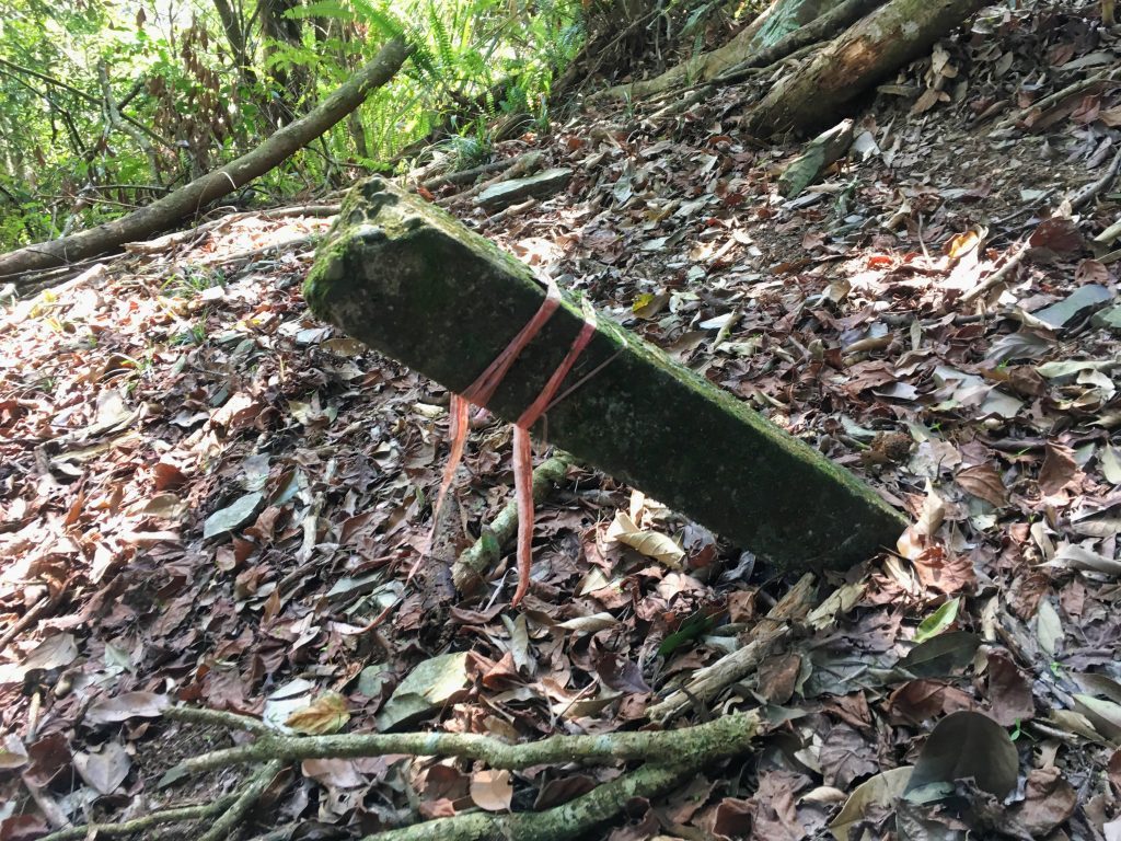
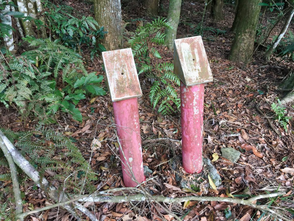
There were several of these old marker things…
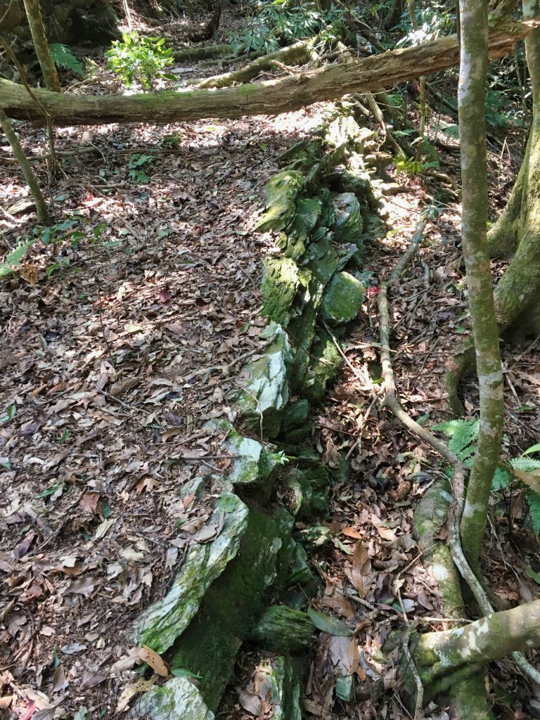
Though I did get my first glimpse of part of the old security trail.
About two and a half hours after I started hiking, I reached JianFuShan.
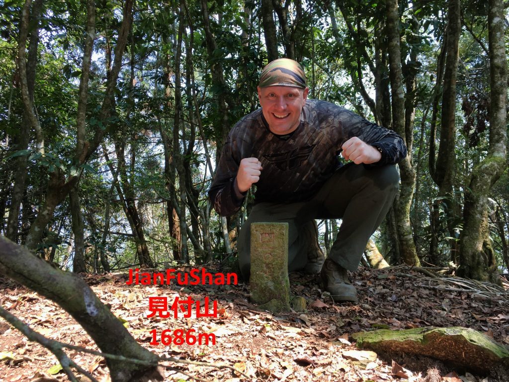
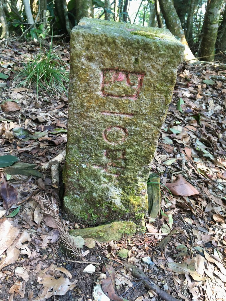
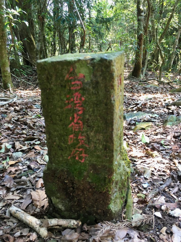
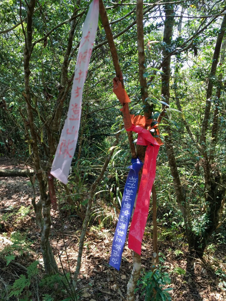
Or so I thought… Strangely the area had very little in signs, ribbons, and all the other miscellaneous items you often see at mountain peaks.
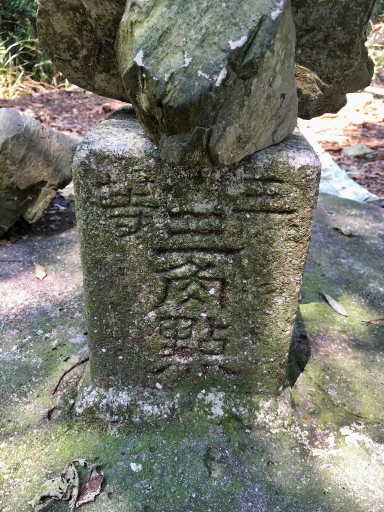
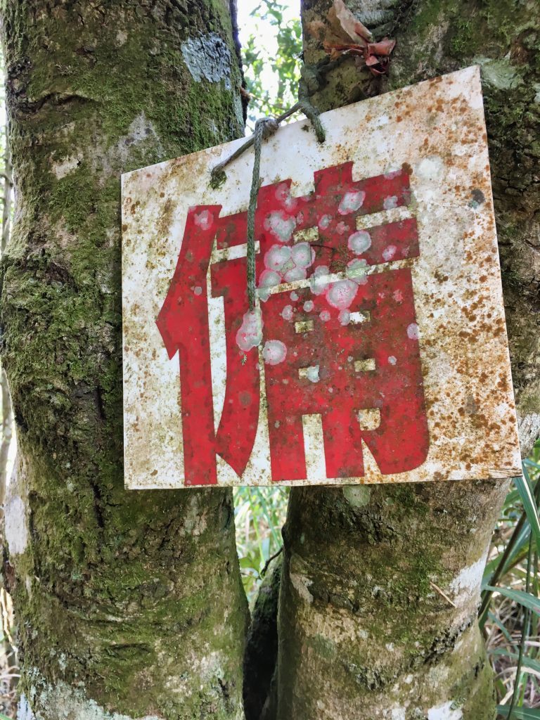
All I found was this little old sign.
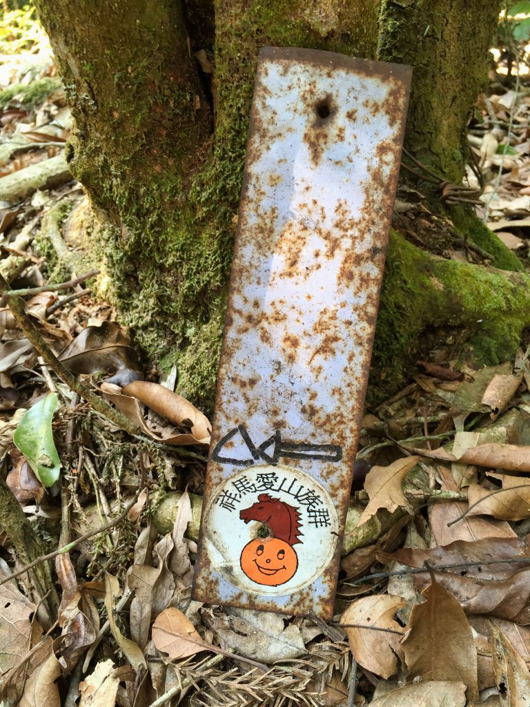
After a closer look at the GPX track I was following, I saw that the peak may be another 20 or 30 meters further up. A quick walk revealed that my assumption was correct. This is what a normal peak looks like.
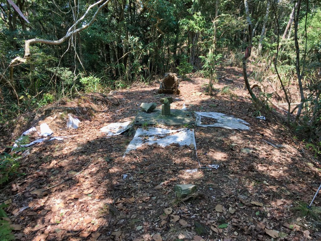
After my usual set of peak pics…
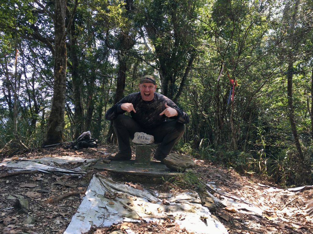
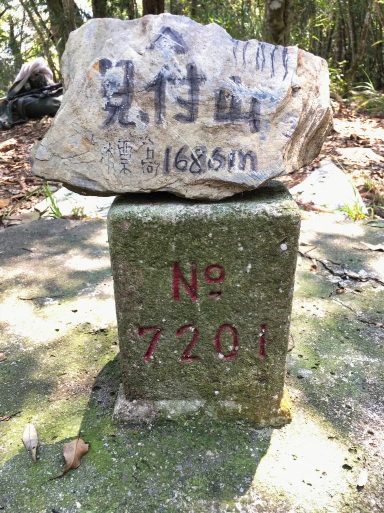
…I took a rest.
I’m still a bit confused as to what the first marker was about. Both markers are listed as a triangulation point in openstreetmaps.com but the second marker is where the peak name is written on their map. If you know anything about the first marker, please tell!
After my brief rest I left for my next destination, YuYouShan – 御油山.
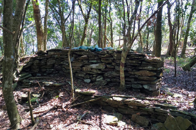
A few minutes after I left JianFuShan, I saw a lot of the old stacked rock walls that used to be a part of the trail’s defense network.
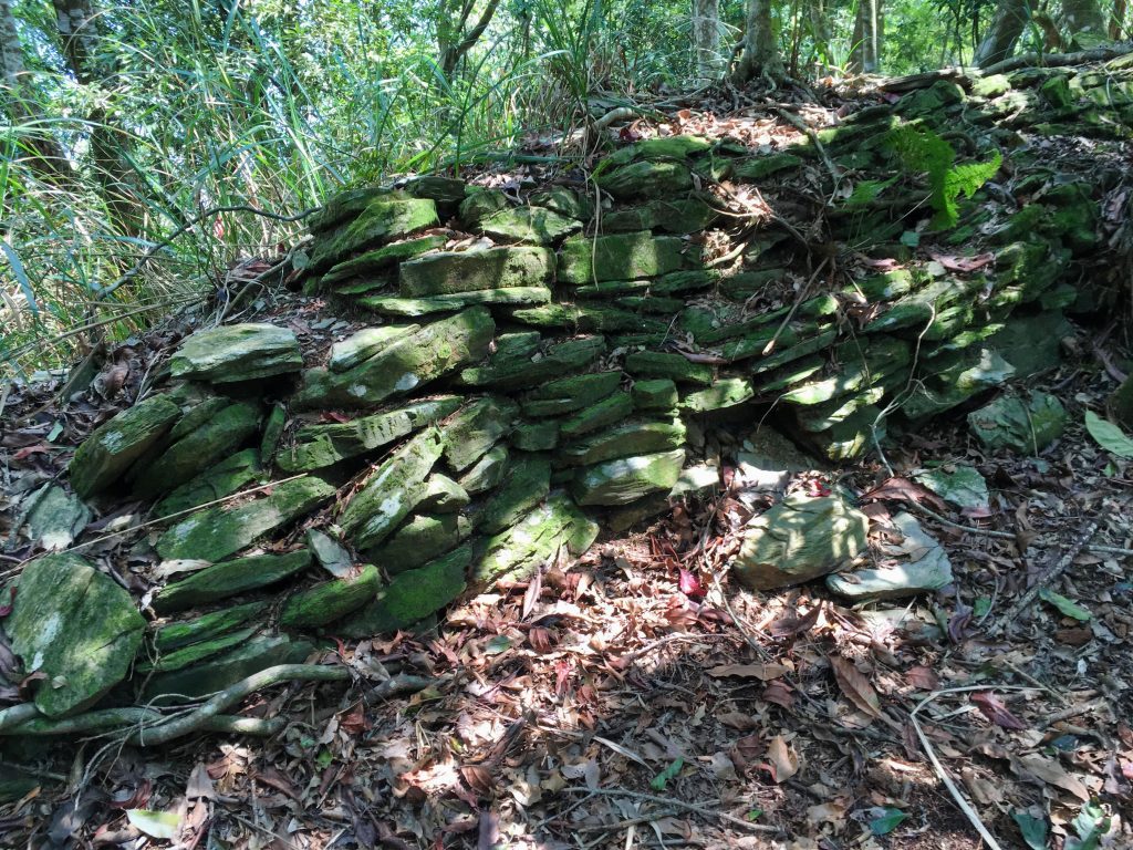
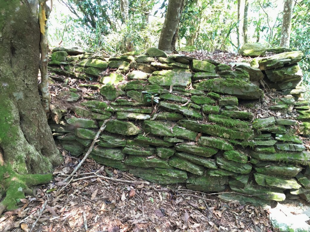
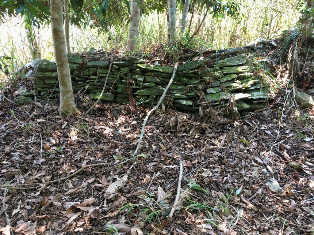
Some of these rocks encircled a flat, open plot of land. This would no doubt be where one of the aforementioned garrisons was located. It’s fun to think that over a hundred years ago people were living here. But now, almost nothing is left.
Just below the old garrison the trail wound its way through a patch of tall grass; some of it taller than me.
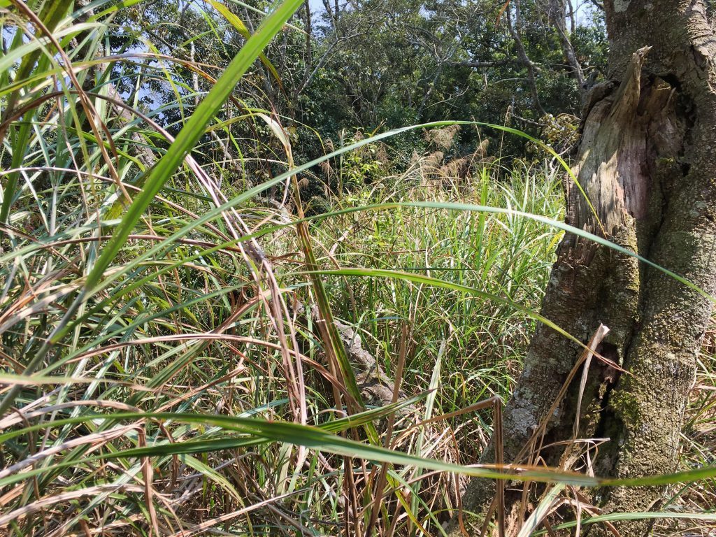
Beyond the grass was a semi-open area of what I believe used to be farmland, judging by all the old black plastic containers I saw lying around. I often see them scattered about unused farmland on previous hikes.
From here it was all downhill, which was nice.
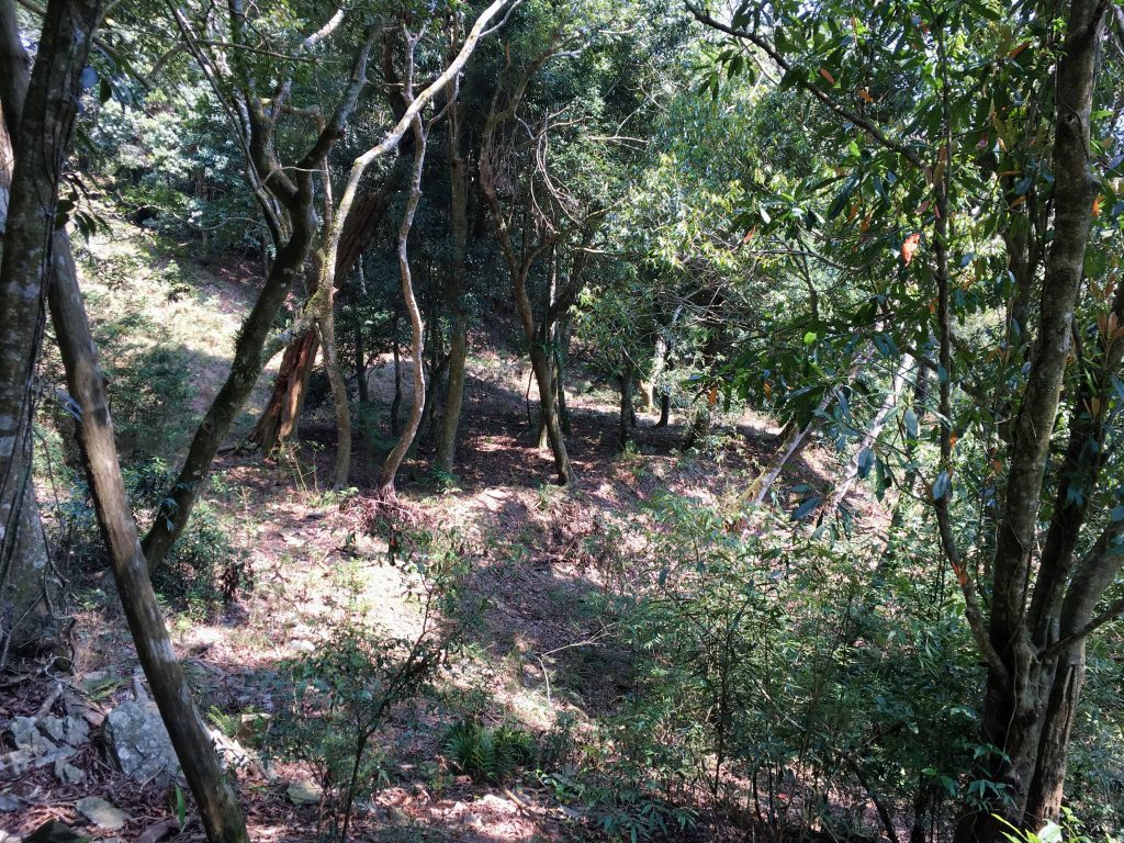
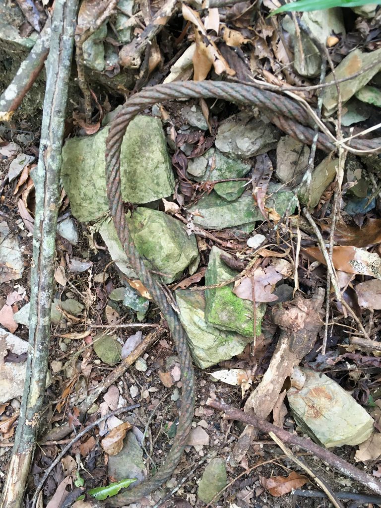
This old cable had some use long, long ago.
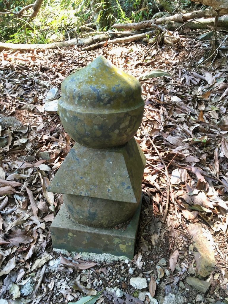
One interesting find was this old statue or shrine or something…?
It was placed in a seemingly random location. There was nothing around the area to indicate why it was placed here. From pictures I’ve found on the internet, it resembles something Japanese. I searched “stone Japanese shrine” and came up with some images that resemble the top shape of this statue. I’m sure someone with more knowledge can answer what this is; I’m very curious.
Shortly after finding the statue, I came to an old road network.
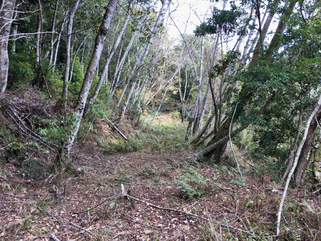
Over the next hour I would come to one of these roads and would cut down to the next switchback over and over again. In a few places I hiked along the road. I’m always happy to hike a road for a little while; even if it’s in terrible shape.
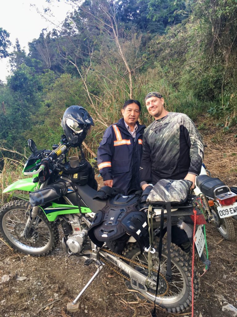
The road that I drove to get to the trail head continues on for a few kilometers until it stops at an overgrown single track trail. Here’s a picture from when I rode my bike there a few years ago. The police saw my tracks and didn’t recognize them, so they followed them until they found me. They didn’t say, but I’m assuming they were looking for illegal logging or poachers. You can see the trail just behind my right shoulder.
My guess was that this road used to continue on further and connected to these switchbacks I was hiking over. I did a little research and found that yes, that road did indeed connect to this old road network. In fact, it used to get pretty close to YuYouShan. If you weren’t interested in visiting JianFuShan, I think you could follow that old road to all those switchbacks and continue along the track that took me to YuYouShan. It would cut some time off the trip assuming nothing is majorly obstructing the old road.
Getting back to the hike…
After another twenty minutes I got my first decent view of the other side of the mountain range.
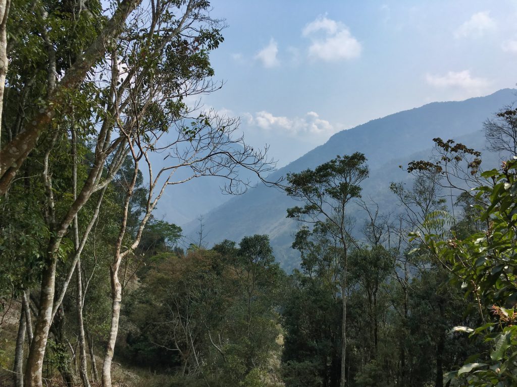
You can’t see from this picture, but there were several large landslides behind and in front of me. Unfortunately two of them you couldn’t avoid.
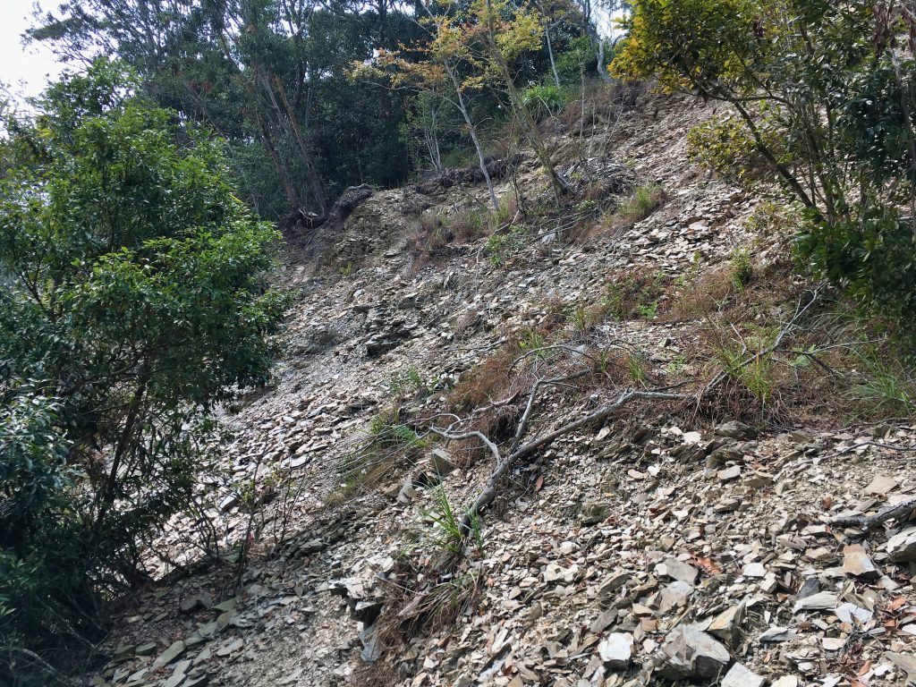
I came to the first landslide, which wasn’t so bad. I suppose I COULD have tried going up and over it, but the track I followed put me going through it. It didn’t seem like a big deal–and it wasn’t–so I hiked across. I pulled myself up and over a ledge on the other side. When I put my right hand down, I managed to plant it firmly on a rock sticking out of the ground. The way it felt, I thought I had broken something. For the rest of the hike my hand was bothering me. It took a good couple of weeks before the pain and bruise went away. It must have been a pretty bad muscle bruise.
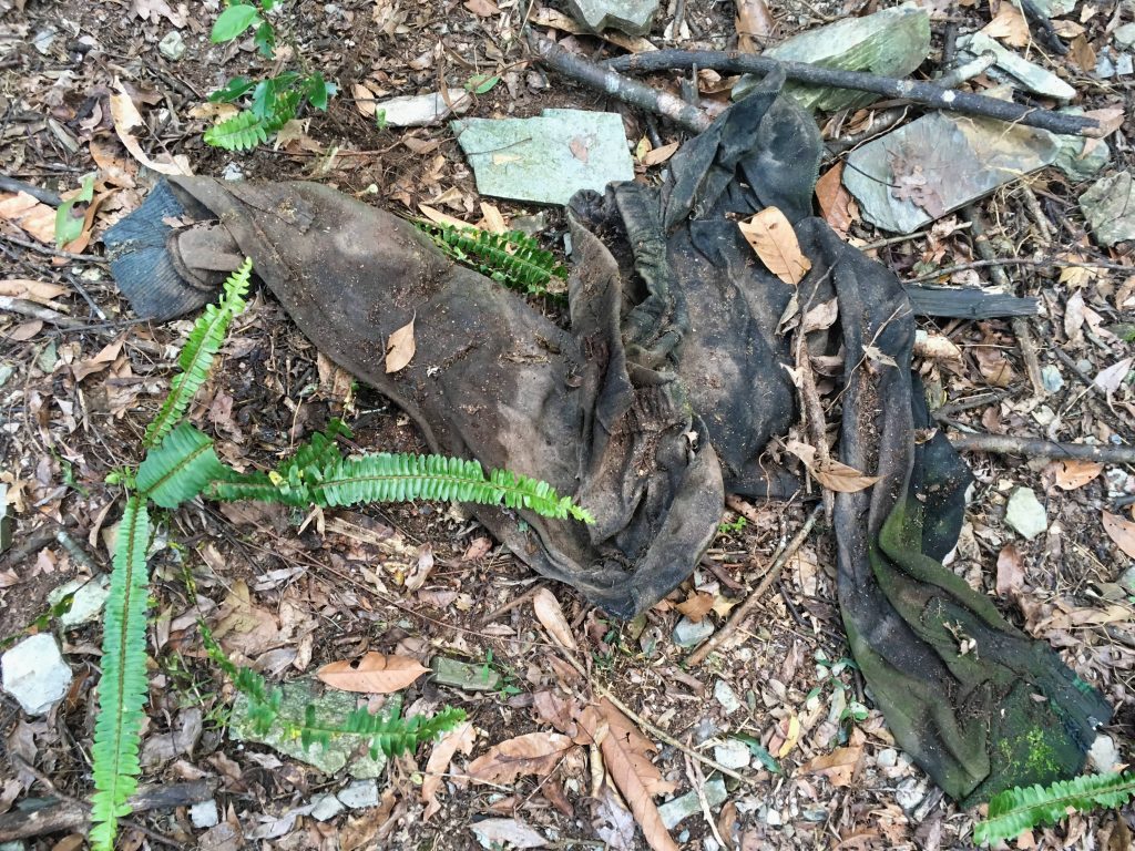
On the other side I linked back up with the old road I had mentioned. I found someone’s pants…
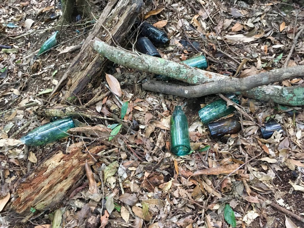
An hour later I found a bunch of old beer bottles. Maybe this beer and those pants share a similar story. 🙂
Something interesting (to me at least) was this little ‘rock alcove’ I found.
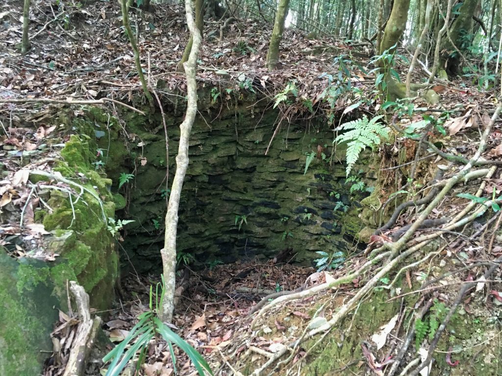
At first I thought it had something to do with the Security Trail, but after further review I think it’s just a natural land feature.
And speaking of land features…the second, and far more dangerous landslide was right around the corner.
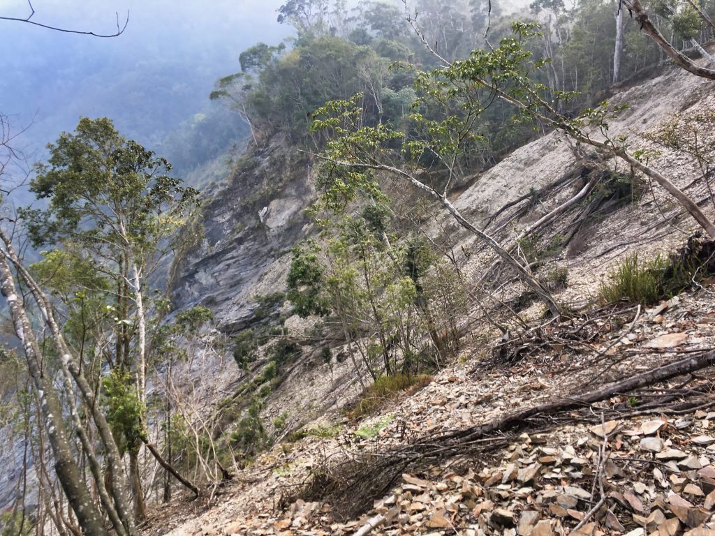

The beginning of the landslide wasn’t bad. I climbed up it to the ridge and found myself back in the forest.
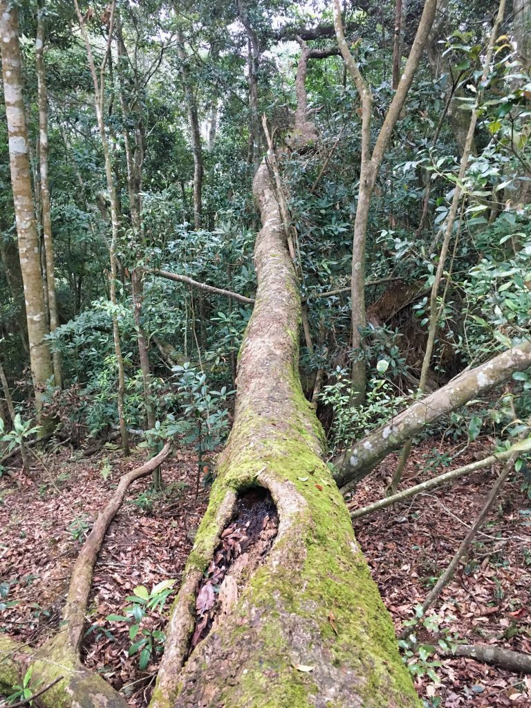
But a few minutes later I was right back at the edge of it. Here’s looking down and back from where I came.
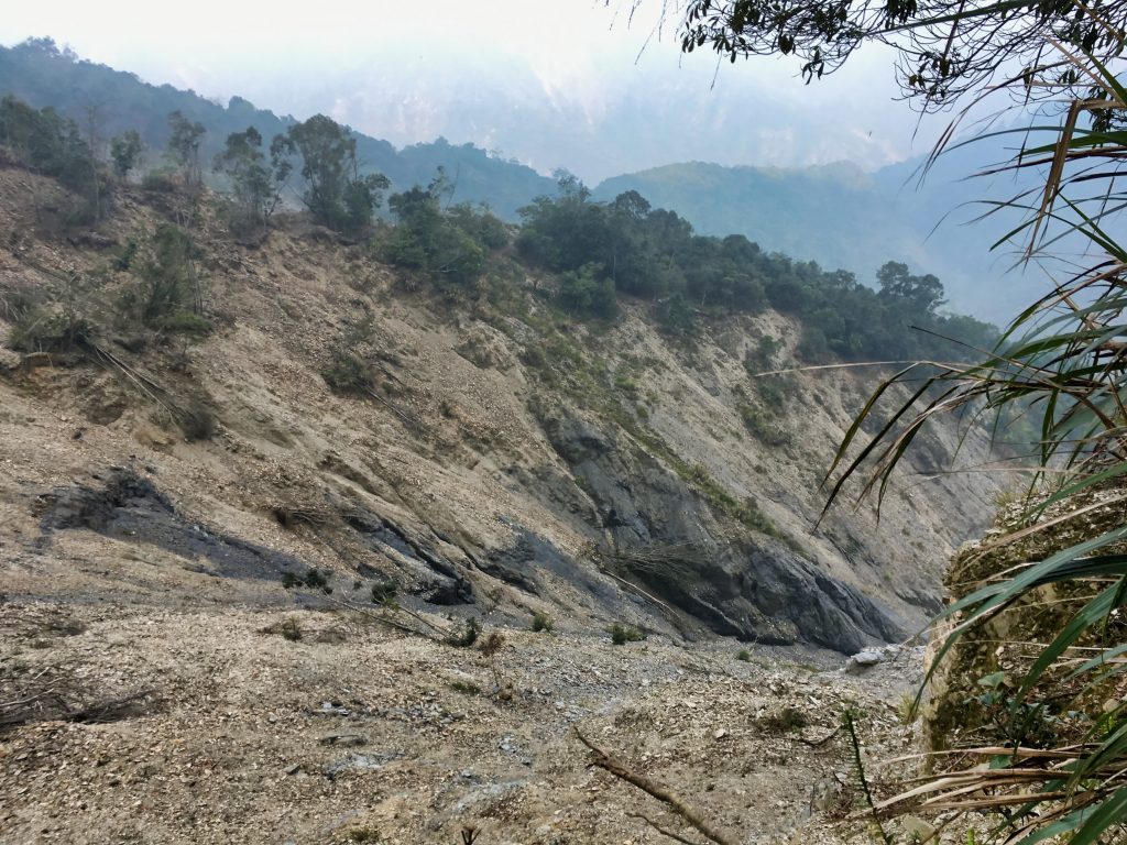
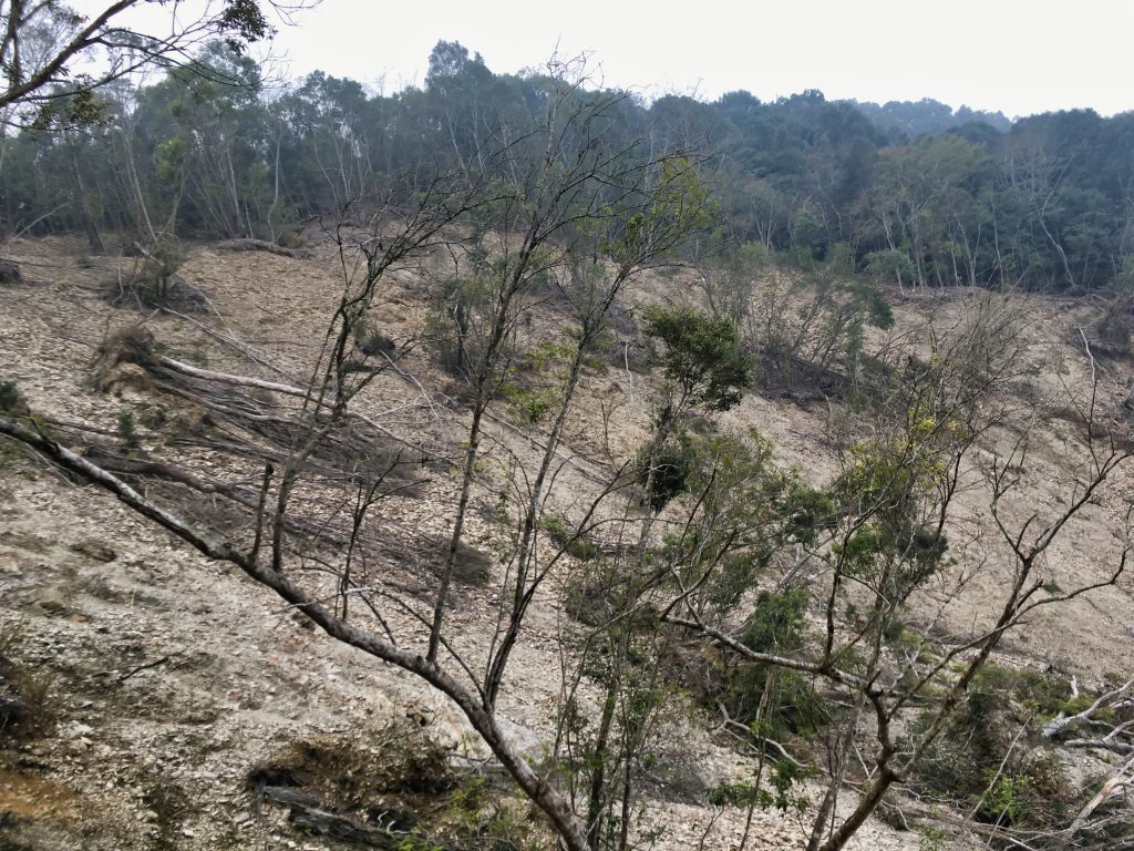
There was only a short distance to cover before leaving this landslide, but this was the most dangerous part.
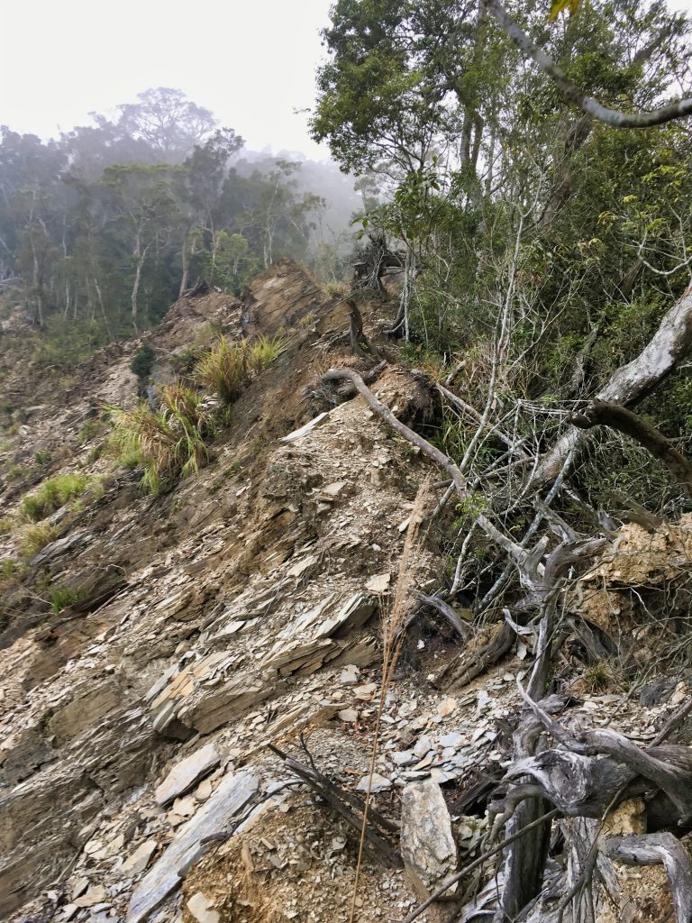
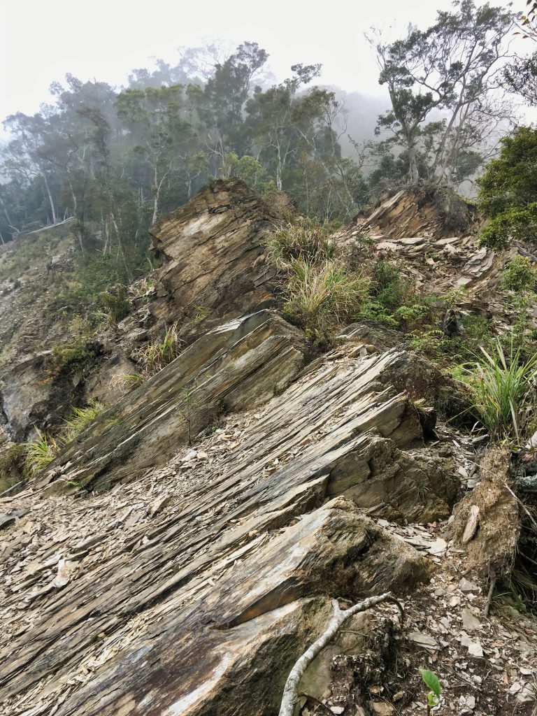
You can’t go around it and it’s far to steep to cross on this side. The only way across is to carefully climb over it.
This is the only shot I got of what was below.
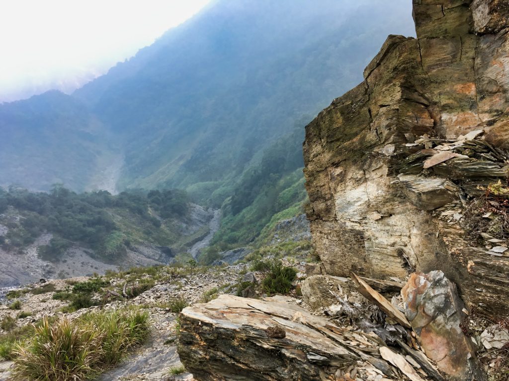
It would have made for a great picture–me climbing up all that–if someone was with me. But being solo, I’m limited to selfies. And I wasn’t about to take a selfie up there!
The final section had me climbing up and over this mess.
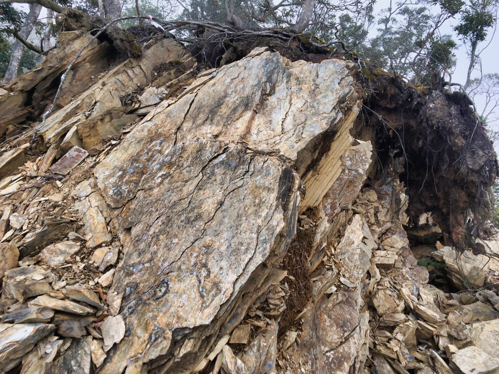
And finally across to the forest on the other side.
Here’s looking back at what I had just crossed.
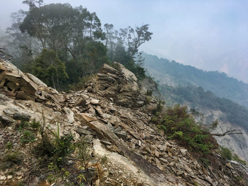
I hiked another ten minutes or so and realized I had to make a choice. It seemed like I was at the beginning of the last leg of the trip up to YuYouShan. It was getting close to 5pm. I estimated another hour and twenty minutes of daylight at best. I was looking at about 300 meters of elevation gain over 1.3 kilometers of distance. It was going to get steep and I was tired, but knew I could do it. Though I wasn’t sure if I could do it before dark. And I worried there wouldn’t be many suitable places to camp. As I hiked I wrestled with stopping or going. But once I saw an old campsite, complete with a long pole to hang my wet clothing and large log for me to comfortably sit, it was a no-brainer
I dropped my gear and made camp.
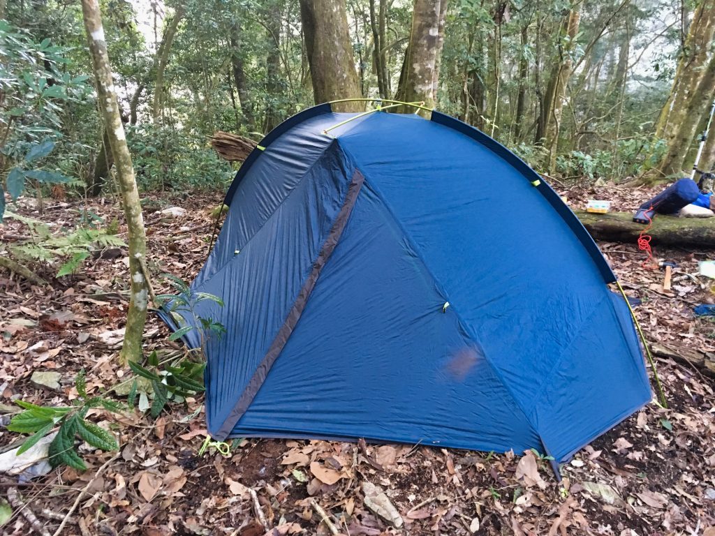
This was my first time using this tent. It’s a Naturehike Taga2. It’s pretty lightweight, but smaller than my last tent. I was taking a chance bringing it out on this hike without fully testing it at home. Luckily it worked perfectly. It got cold that night but I was pretty warm and toasty inside.
I busted out my MRE and ate dinner. Smelling the little chemical reaction heater brought back memories of my military days. I gotta say, these things have improved over the years. Not bad at all!
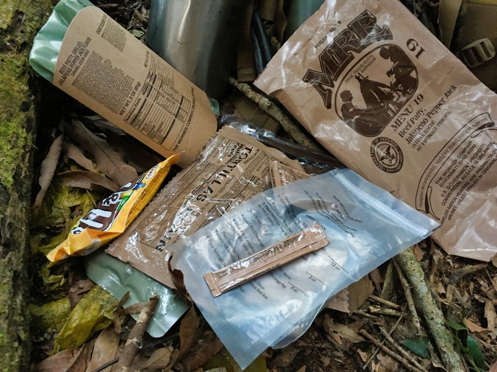
My water situation seemed OK. I can’t remember how much I had left, but I know I thought I had to go slow and try to conserve as much as I could. But would I have enough to finish? And would I find a water source? More on that later…
Day 02
After a good night’s sleep, I ate my second MRE, drank my coffee…
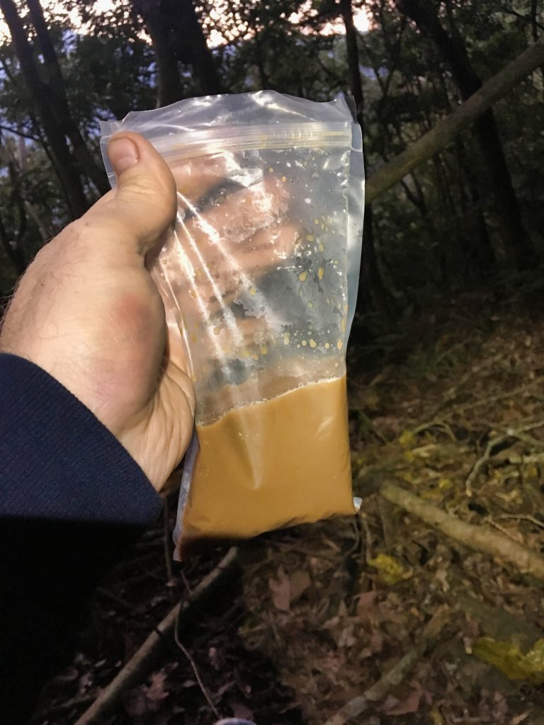
…packed up all the gear, and prepared myself for the full day of hiking ahead.
As mentioned, I was looking at a pretty tough start. I made sure I stretched really well and was plenty hydrated. As I guessed, the first couple hours were just climbing up steep slopes.
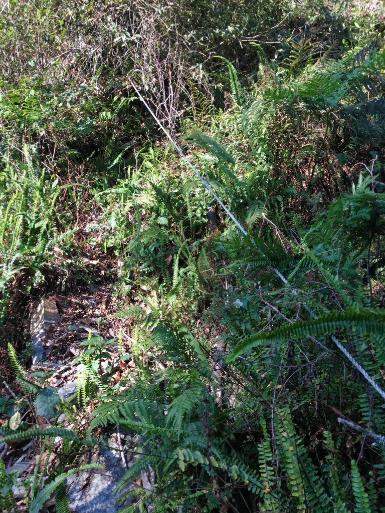
In places there were what appeared to be steps.
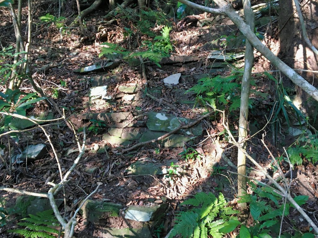
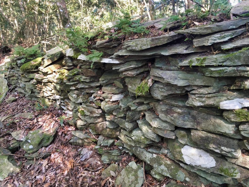
Most of the way up traveled along, or cut through, the old Security Trail.
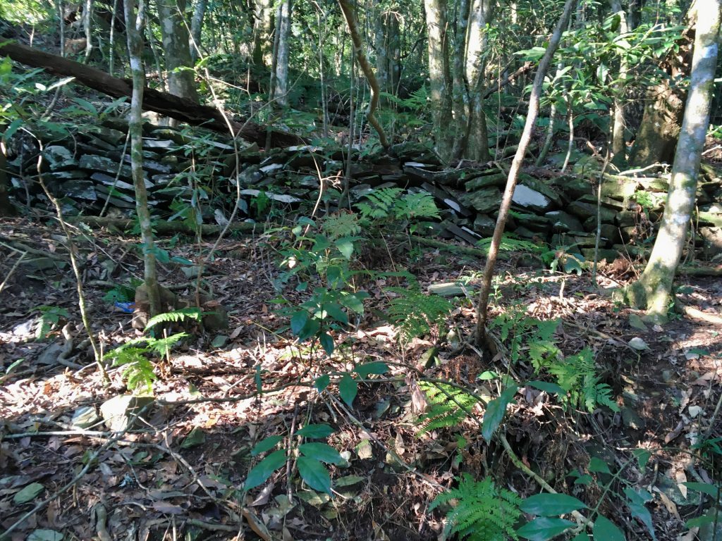
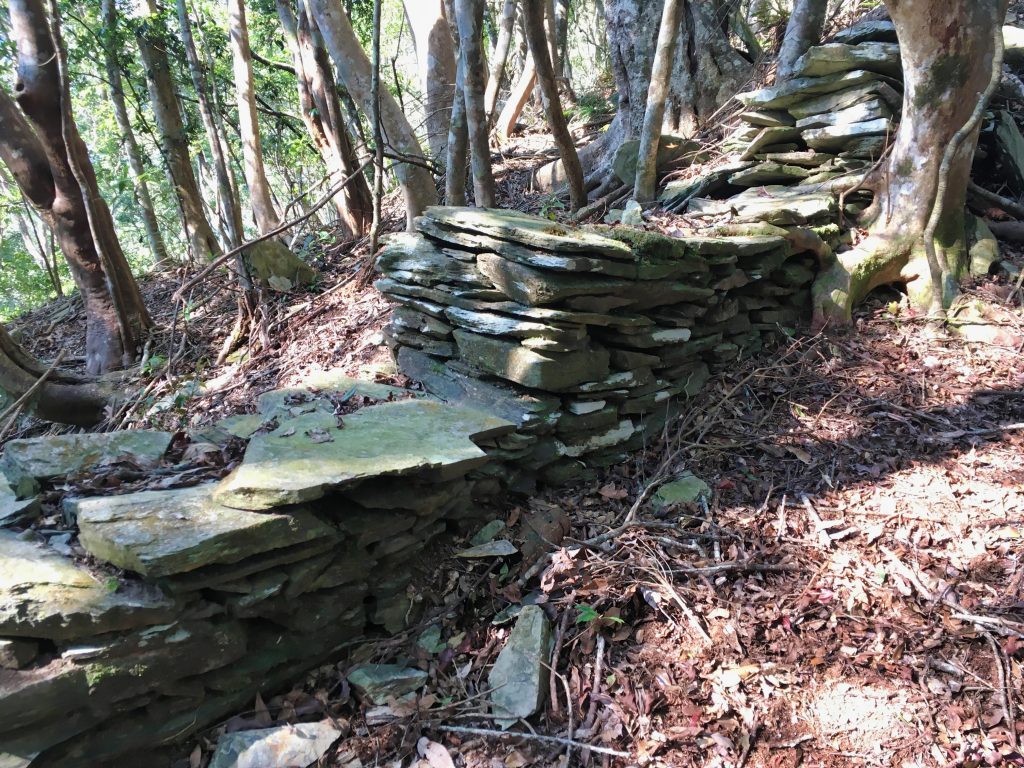
Interestingly, I found a number of old rat traps.
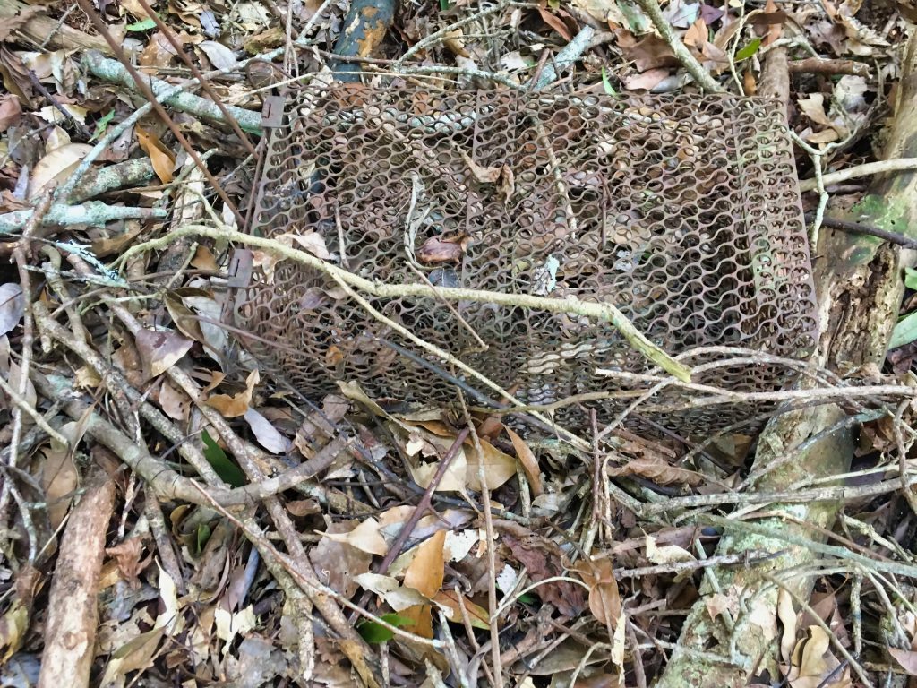
I wonder how old it is?
It was a somewhat tough climb, but a couple hours after I started, I reached YuYouShan!
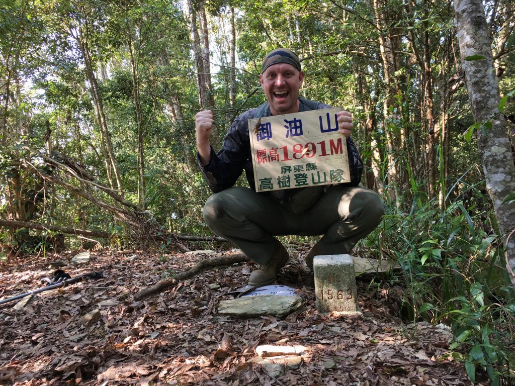
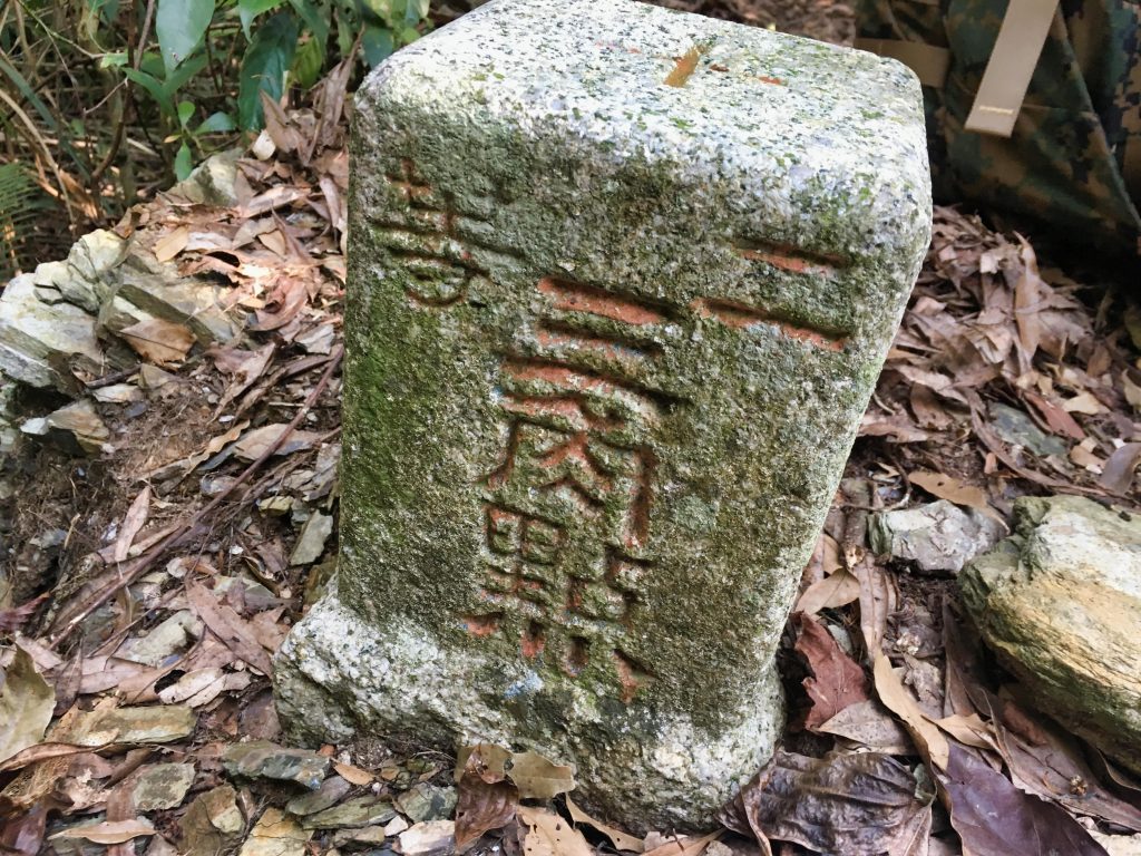
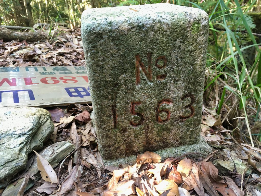
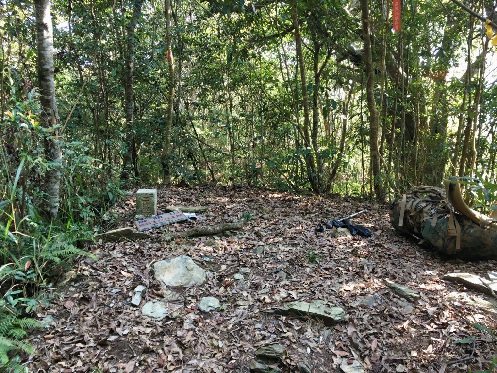
At 1891 meters, this would be the highest point of my hike. I was looking forward to all the downhill slopes ahead. In general, I would be descending. But there were several places I would have to ascend…and those weren’t at all fun.
I took a brief rest at the peak and ate and drank a bit. Right next to the peak marker was this old concrete foundation.
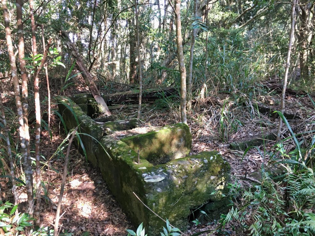
I can only guess what this building used to be. In some ways it resembled a bathroom.
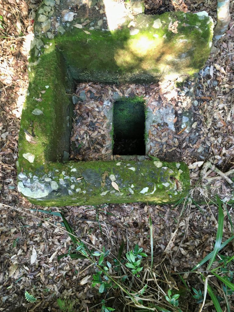
Your guess is as good as mine…
Leaving the peak, the trail took me down the ridge to the FungGangShan Nursery (鳳崗山苗圃), located inside the ShanPing Forest Ecological area. This is technically a restricted area that hikers tend to ignore on a regular basis. The trail has you going down the ridge into the nursery. Then you follow a road a few kilometers until you reach the trail that leads to NanFengShan – 南鳳山.
Heading down I was worried about the possibility of workers being there and telling me I had to head back the way I came. If it came to that, there’s an alternate route bypassing the nursery, but there’s no real trail to speak of. A Facebook acquaintance of mine went that route, but mentioned it wasn’t easy going. Anyway, there wasn’t really a choice in my mind; the nursery or bust!
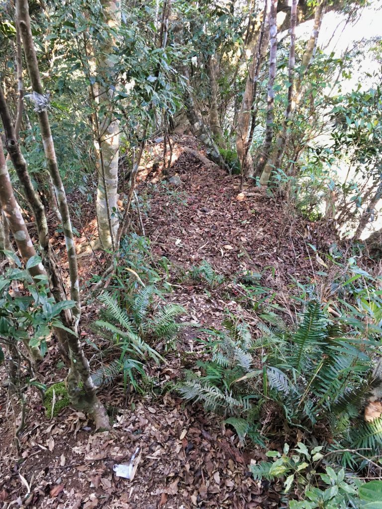
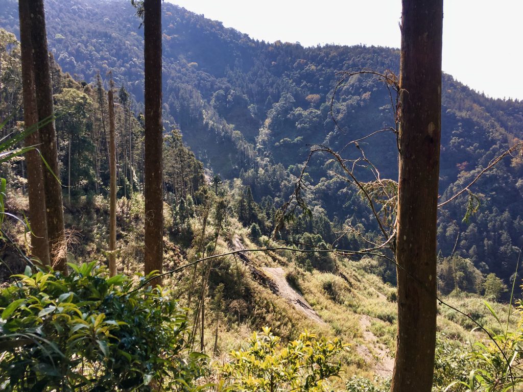
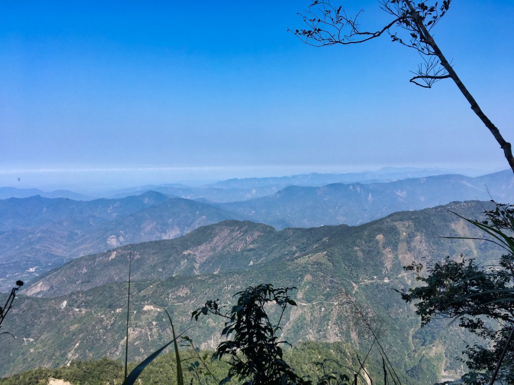
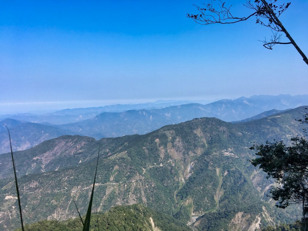
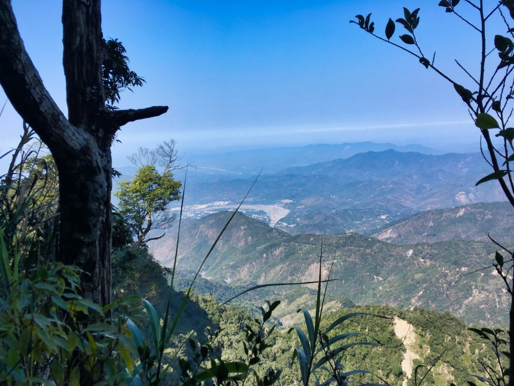
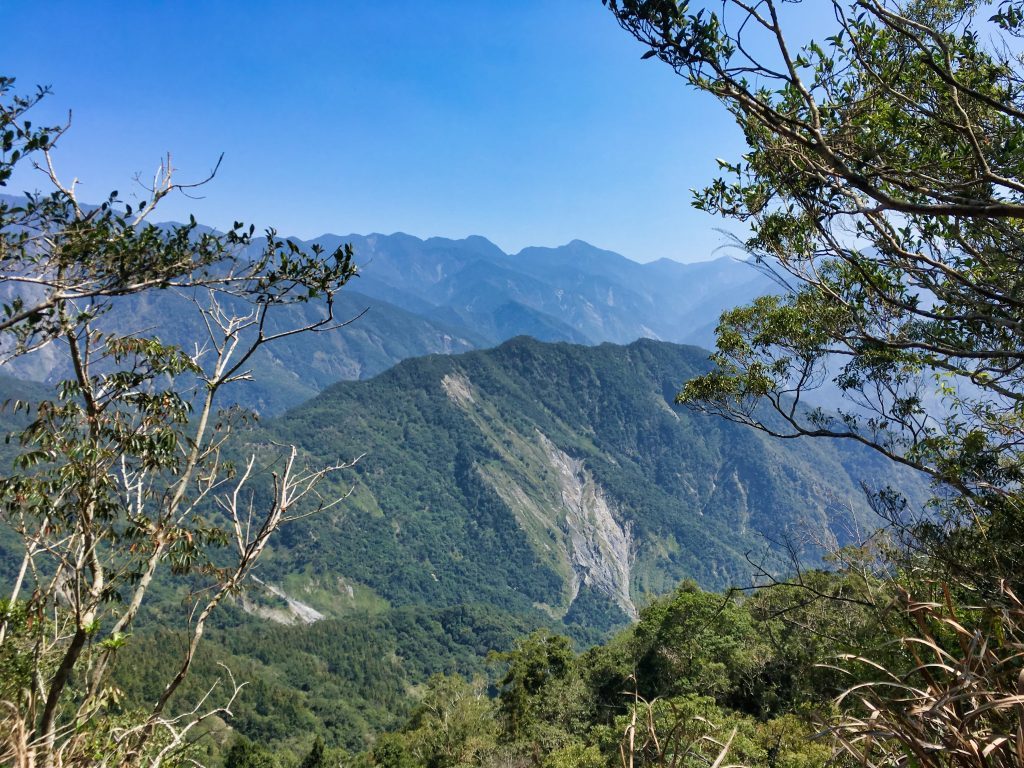
The ridge was as expected…steep but not much of a problem. There were a few spots with a perfect view of Tengzhih and the mountains beyond. You can see the road I drove into Tengzhih.
You can also see Liugui (六龜) in the distance.
Nearing the nursery you could see different types of trees. I have no idea what they are, but this section in and around the nursery was the prettiest part of the trip.
After a good forty minutes of hiking, I was nearly to the nursery. And what did I find?
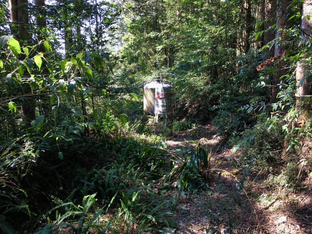
Water containers!!! And they were all full!
This was a major relief because I estimated that I would definitely run out of water before I finished the hike. The person who told me there might not be any water sources didn’t cut through the nursery, otherwise he would have seen these. I had hoped I would find a sink or something around the nursery itself, or maybe a small stream along the road (yes, there were a couple spots with tiny streams) but finding these containers were 10x better! But….
I forgot my water filter!!!
Talk about a total facepalm moment. *sigh* Well, the water was cold and good for cooling me off. It seemed clean, but you never know. Despite that, I still filled a 2 liter bottle with the untreated water. This would serve as my emergency water if needed.
After the refreshing water stop I hiked down to the nursery.
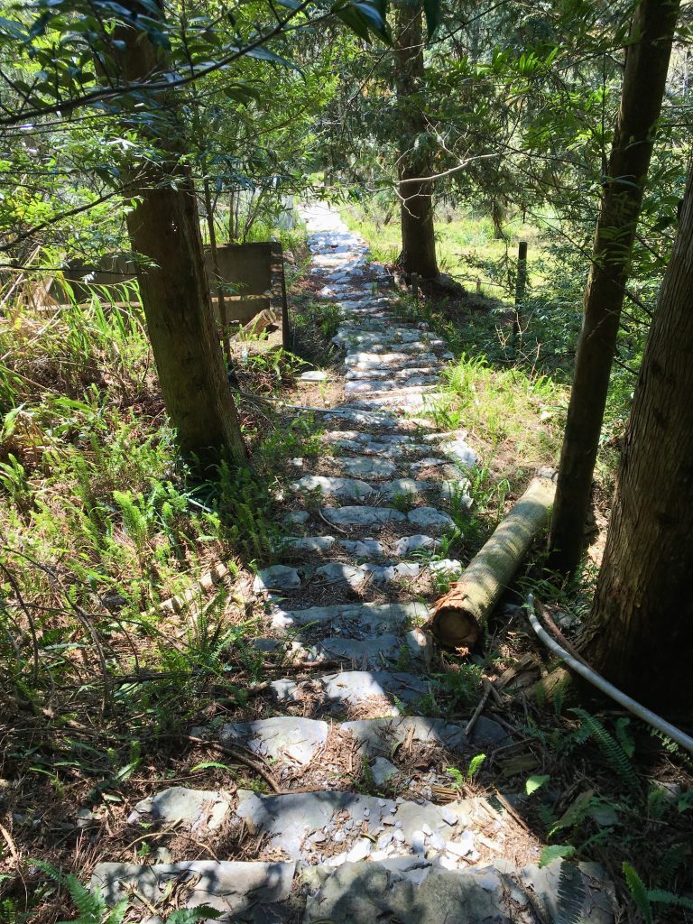
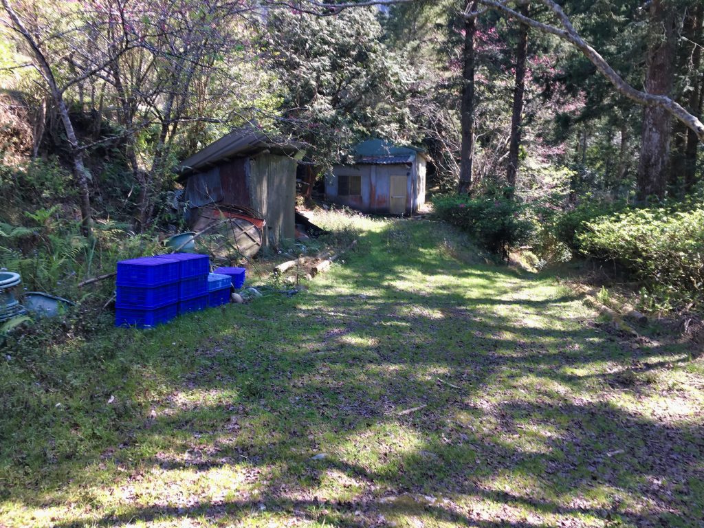
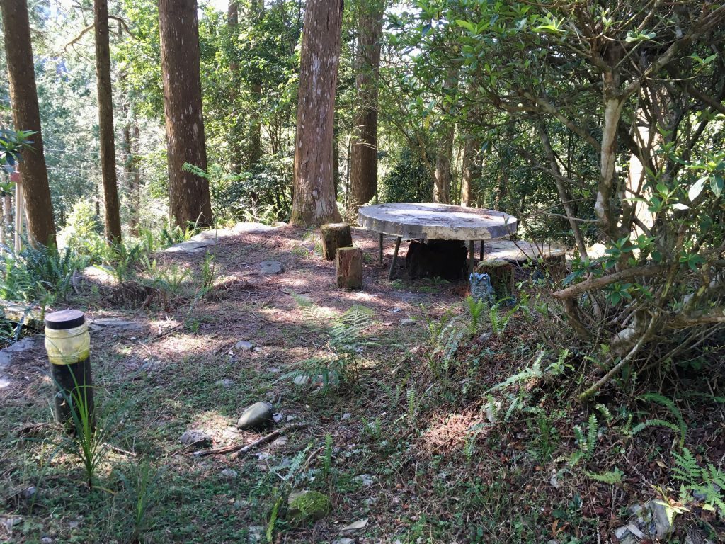
The main building is the red one down the path.
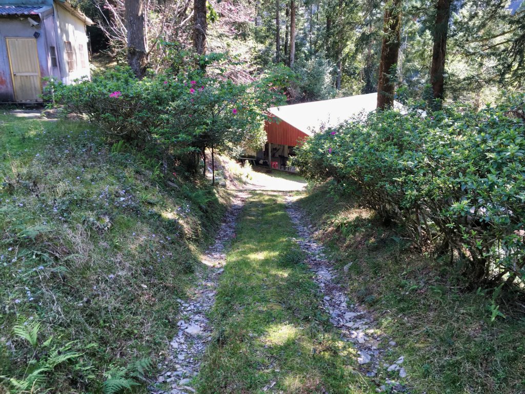
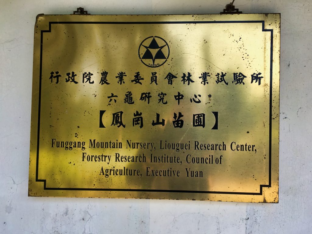
So now came the moment of truth…
For some reason I had it in my mind that this was an abandoned nursery. But upon inspection, it appeared everything but abandoned. I poked around a bit, and when I walked up to the front door I heard a male voice. My reaction was to immediately walk away towards the road. The voice was followed by a female voice. That’s when I realized I was listening to a two-way radio. Both voices sounded like they were coming from the radio. But that radio still belonged to someone. So I didn’t want to hang around. I made it to the road and quickly hiked the next two kilometers.
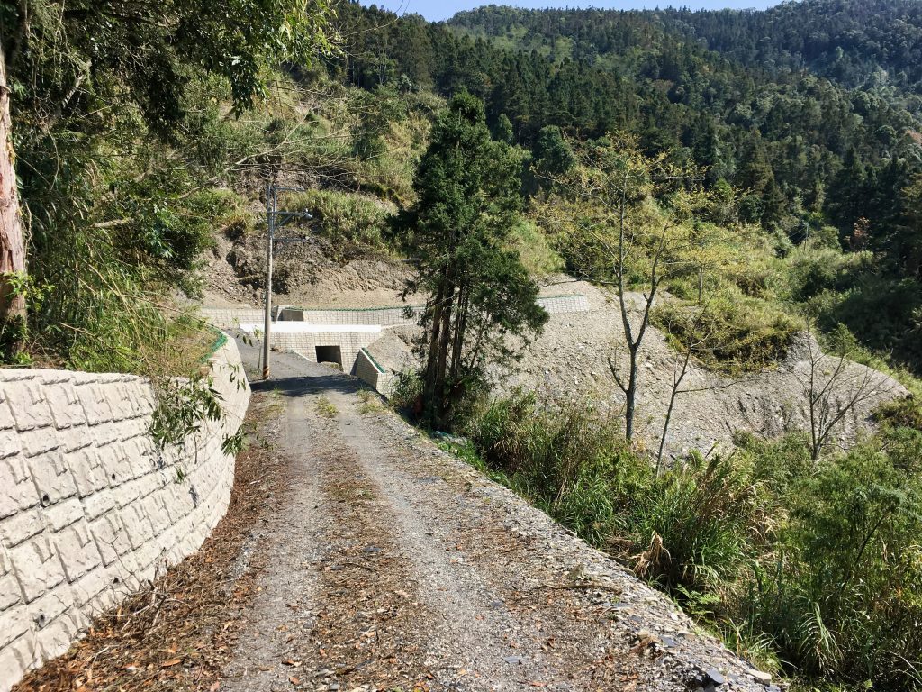
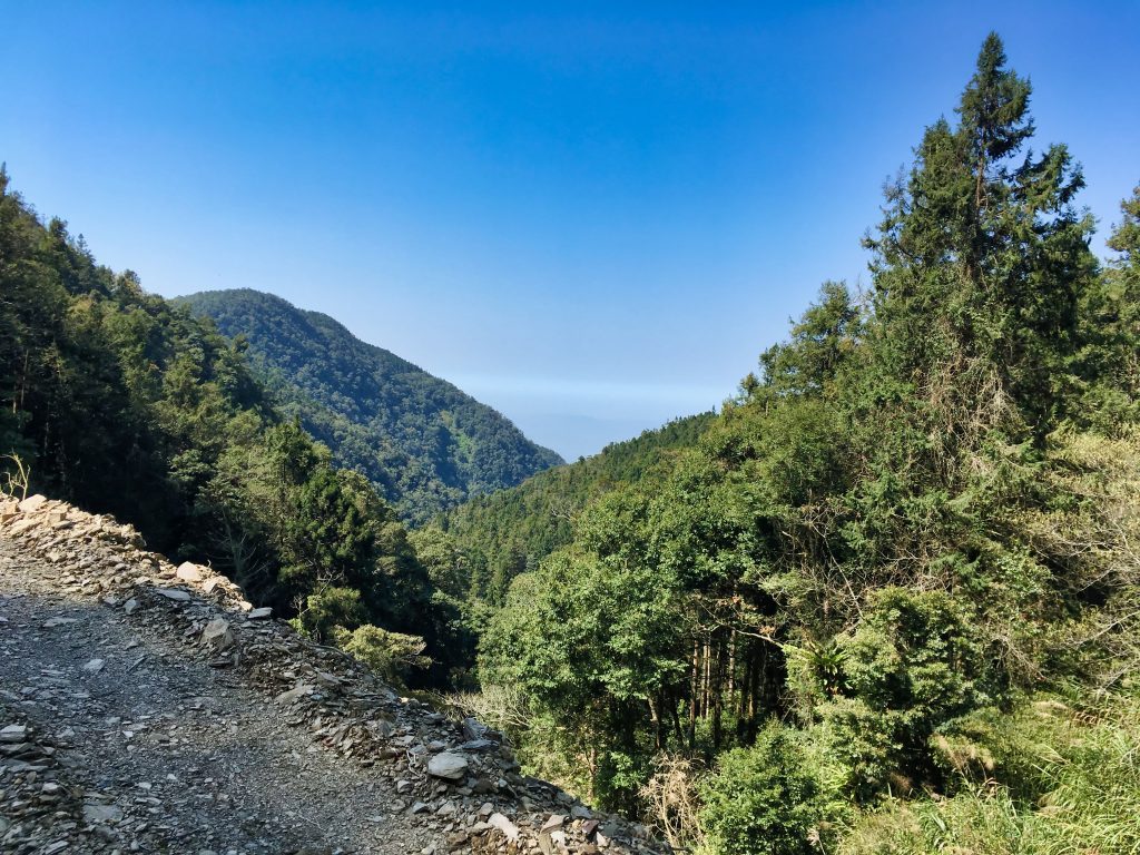
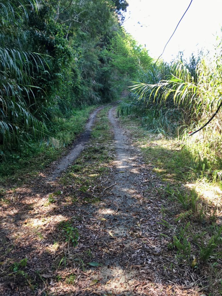
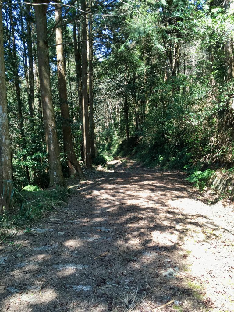
On a side note, a different Facebook acquaintance recently hiked to YuYouShan starting from a different location that has you starting from the west and heading to the nursery and then up the ridge to the peak. He was stopped by a couple forestry workers and turned away at the nursery. They managed to find a different route to the peak that was much harder. Anyway, there’s a real possibility that you’ll be turned back at or near the nursery. So be sure to have an alternate plan ready.
It was nice hiking on the road; a sort of mini-break in a way. I spent about an hour on the road until I reached the NanFengShan trail head. This area was also pretty.
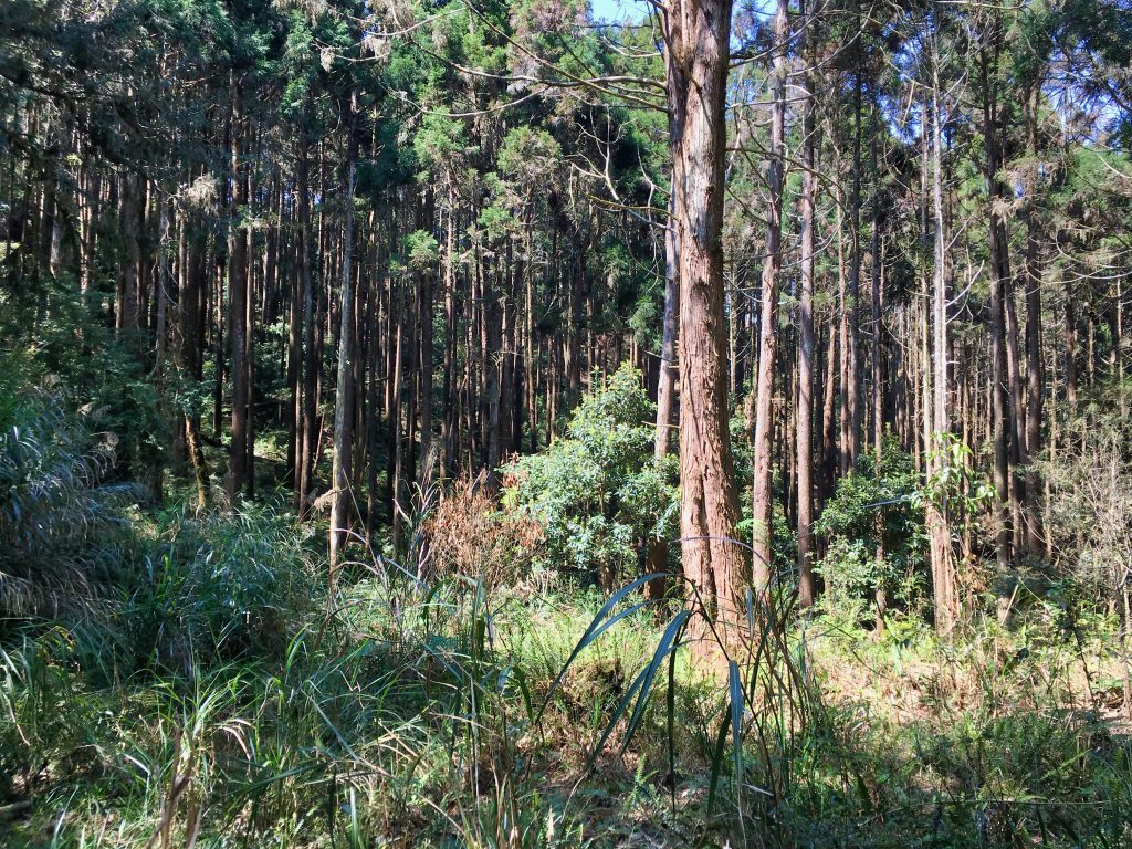
I was still in ShanPing, but being off the road I knew nobody would bother me. But what WAS bothering me was my water situation. I was thirsty from trying to conserve water, and when I saw a couple bottles of water lying in the shade near a tree…well, let’s say they caught my attention. Judging from their location, I thought this was a water cache. You’ll sometimes find these on trails left by hunters. I figured this water was probably safe and decided to have a drink after pouring some in my hand and having a look inside the bottles. They looked clean…
After finishing about three quarters of the first bottle, I saw something at the bottom of it. The only way I can describe it is like a clear, mucous-like substance. I immediately regretted drinking it. I *knew* I would get sick from it. But hours and days later, I never did. So I’ll write that off as getting really lucky.
From this spot it was mostly an uphill battle. I must have been tired, because I took no pictures at all until I reached the peak. It’s unfortunate too, because I found some of the wire fencing that the Japanese electrified to keep the aboriginals at bay. At the time I didn’t know what it was, but I still should have taken a picture. Oh well…
And that brings me to NanFengShan!
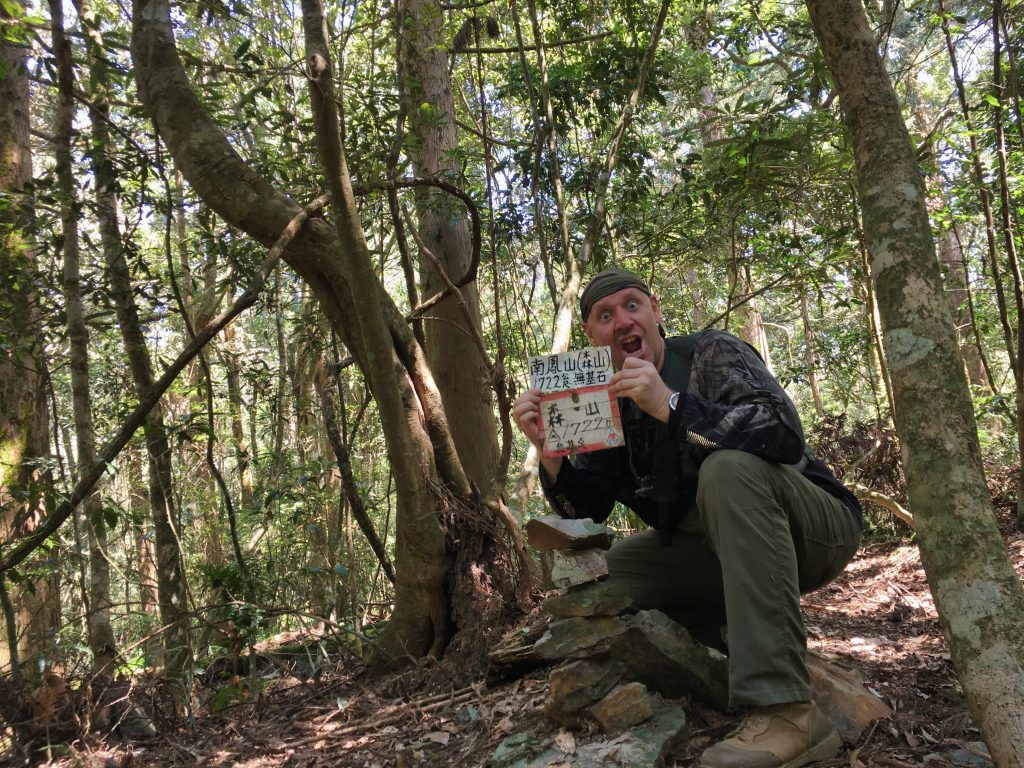
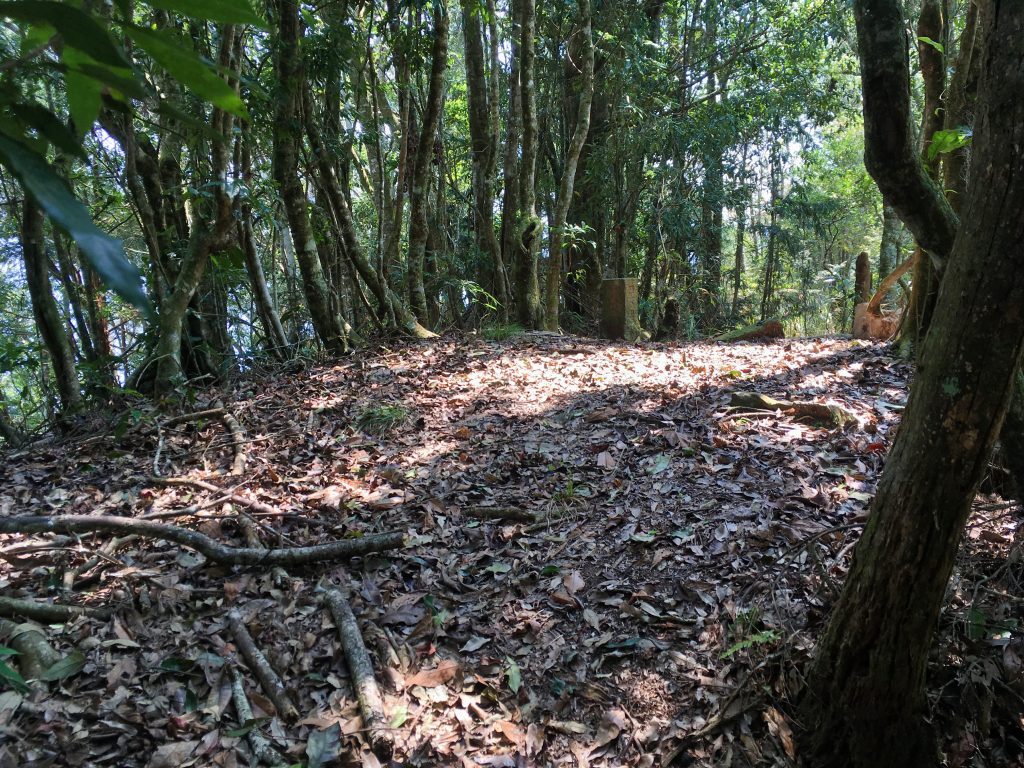
NanFengShan isn’t a listed peak on any map that I’ve found. There’s no peak marker and not much to look at. These stacked rocks and two signs were the only things indicating that this area was anything other than your typical mountain landscape.
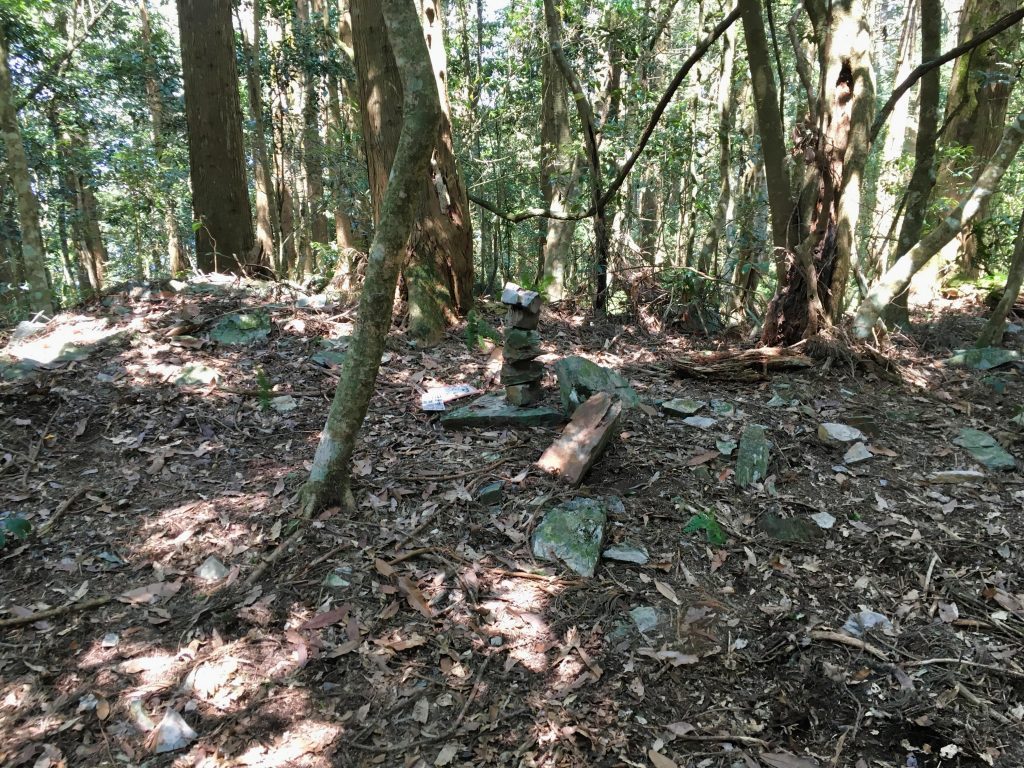
I took about a fifteen minute rest here and pushed on. I quickly came upon this hunter’s camp.
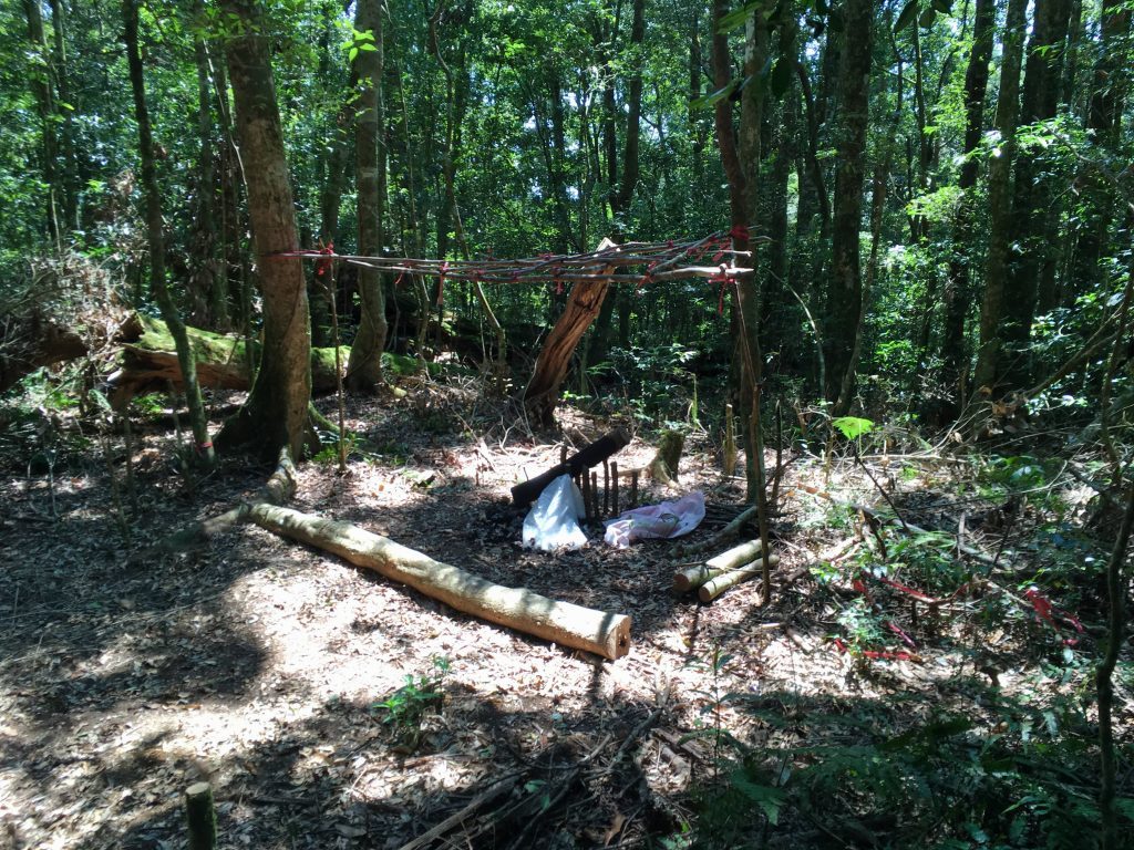
This was the second time on this trail that I saw a fire built in this way. I’m curious how it works.
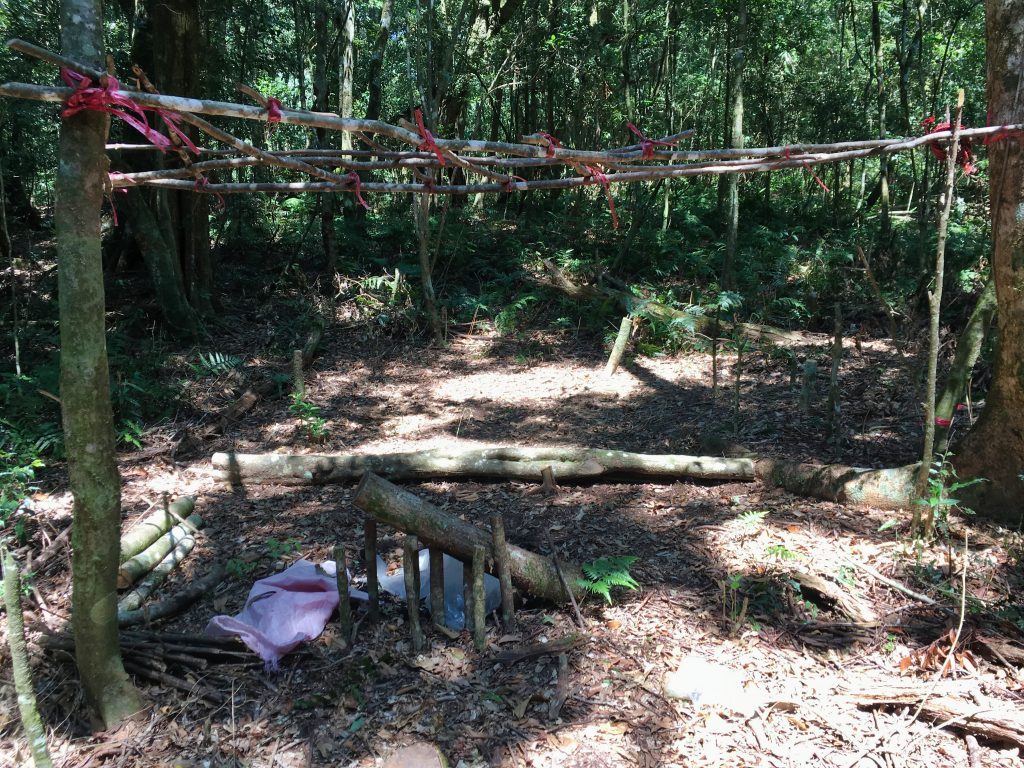
Just past this camp were several large areas of land separated by rope or ribbons. At first I thought it was put there by hunters to warn of traps. But later I was thinking it was put there by Shanping forestry bureau, as this seemed to be about the edge of the restricted area. I didn’t see any signs though, so I can’t be certain.
From here was the start of a long descent that lasted almost 4 kilometers. There were signs here and there like this one.
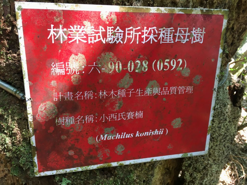
Forty-five minutes later I linked up with a section of the Security Trail.
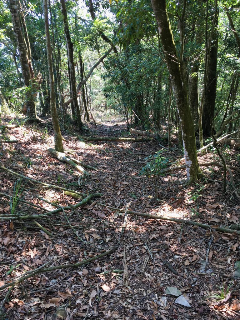
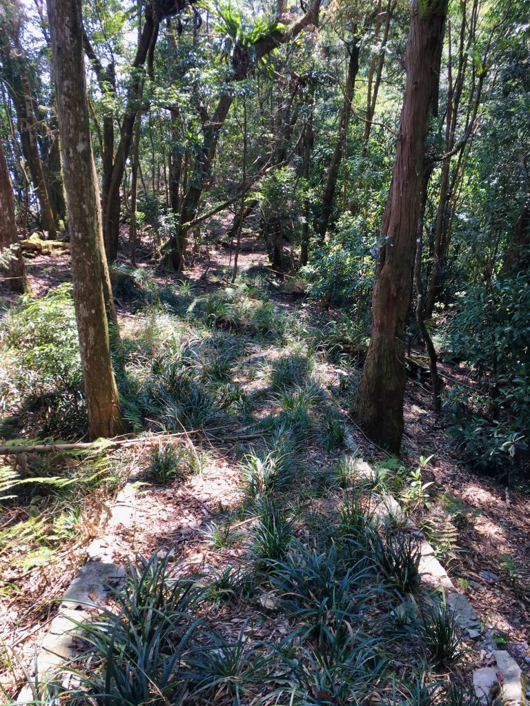
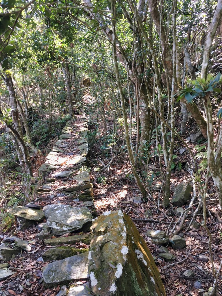
All along the ridge there were views of the mountains to the south.
From here there were lots and lots of remnants of the old trail to be seen.
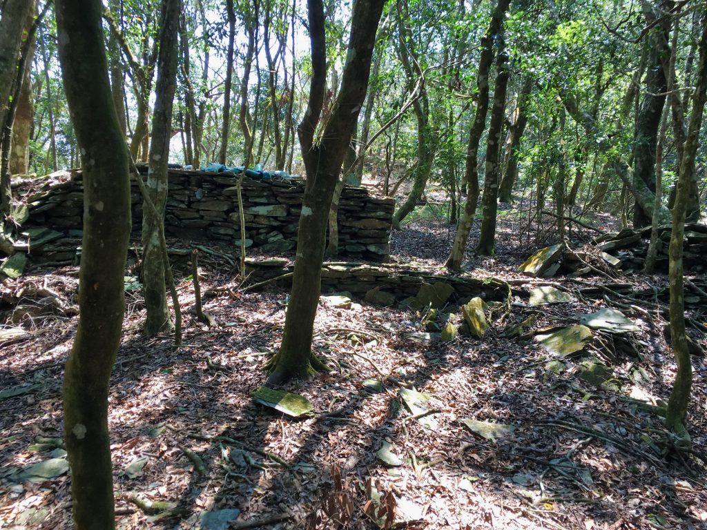
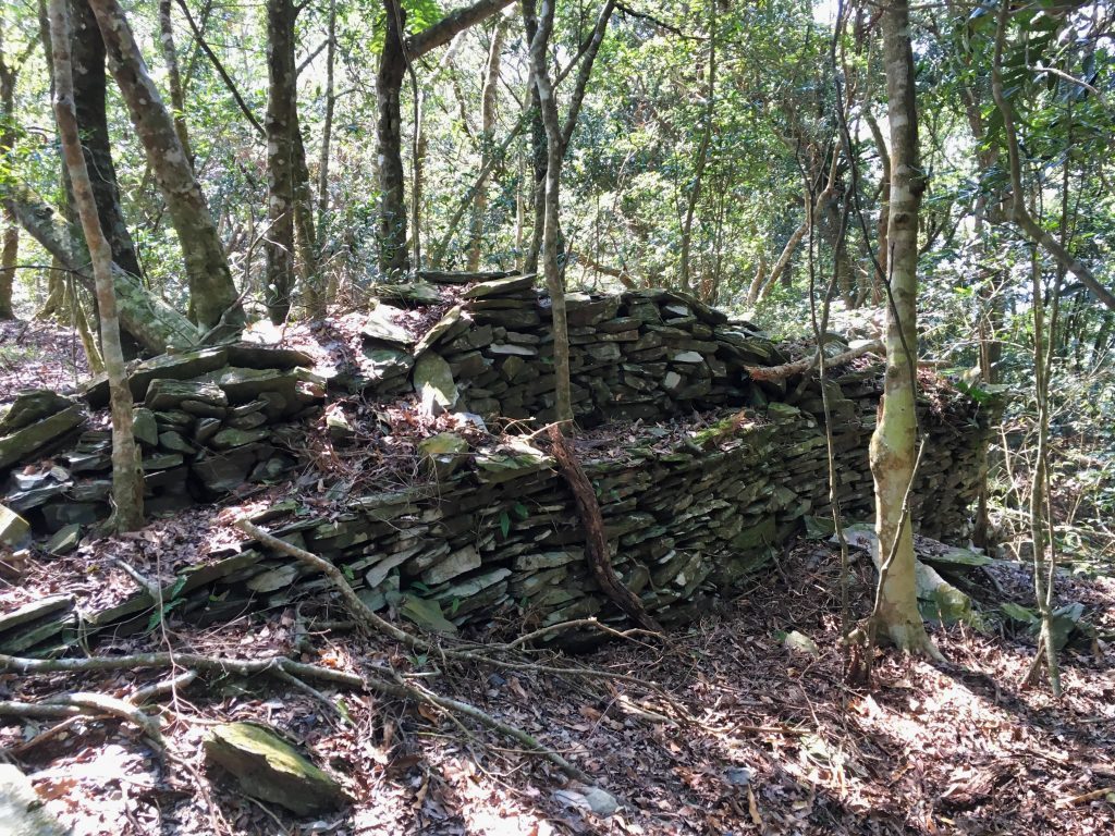
This is where I messed up. Along this path is the other YuYouShan 御油山 peak. They’re both written as “御油山” on the maps, so I guess that would make this one the south peak. For some reason I thought it was MingHaiShan 鳴海山, which I had already hiked to last year, so I skipped it. Ugh…now I’ll have to go back…
UPDATE!
On February 17, 2021 I hiked to YuYouShan 御油山 with a former student of mine. So now I have officially been there! Here are some pictures from that peak.
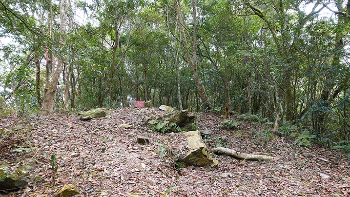
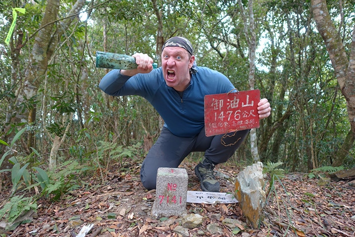
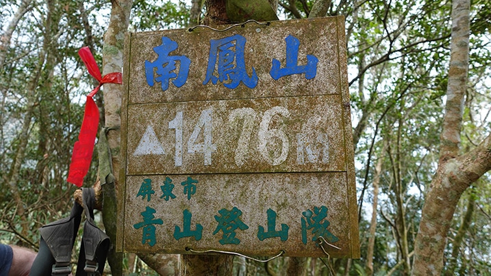
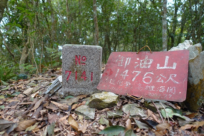
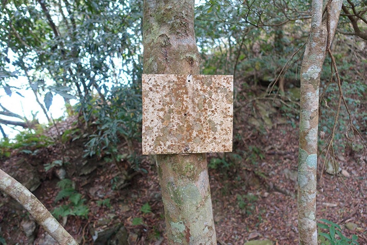
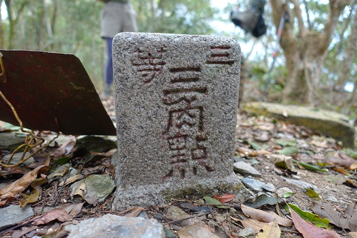
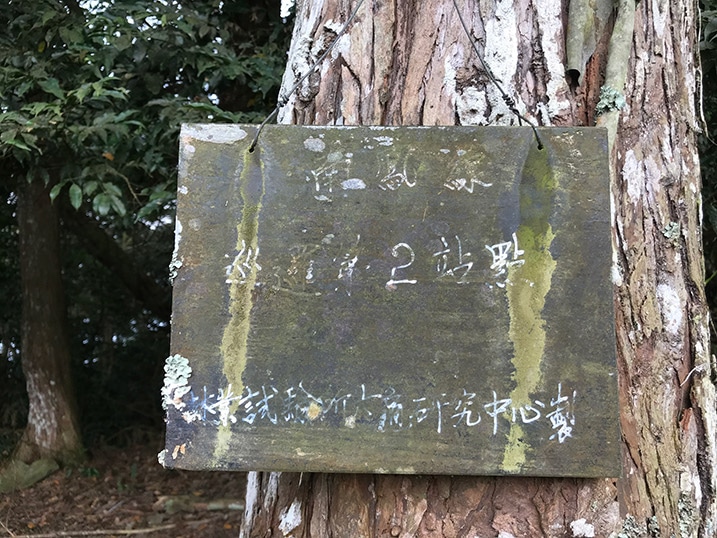
And my former student, forever known to me as “BMG”. I’ll let you guess what that stands for.
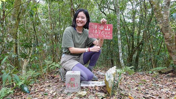
End of Update…now back to your regularly scheduled post
By the time I figured out my blunder, I was way too far away to turn back. Onward to my next destination then: SunShan Weather Station – 森山氣象站.
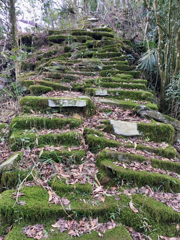
On the way I got to climb these pretty cool looking stairs.
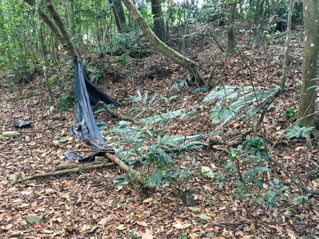
And passed what I can only guess is an abandoned hunter’s camp.
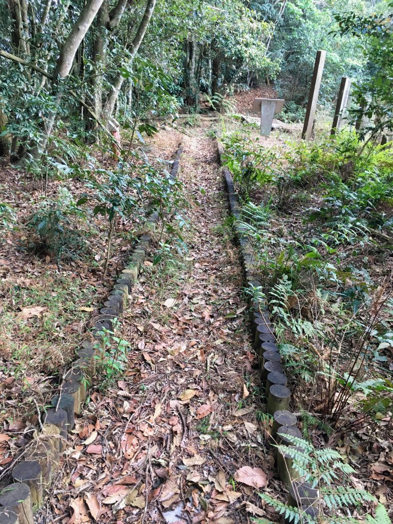
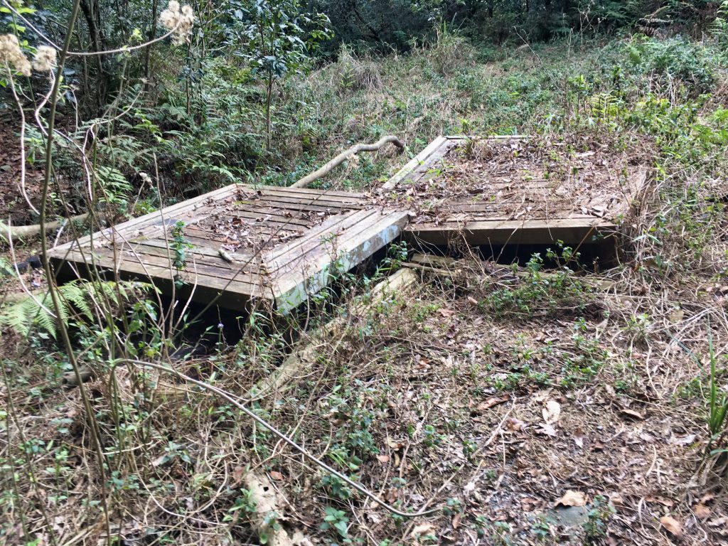
A few minutes later I arrived at some sort of old tourist area that’s now completely cut off from the general public.
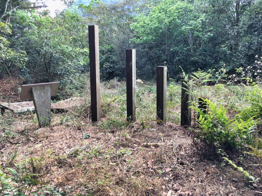
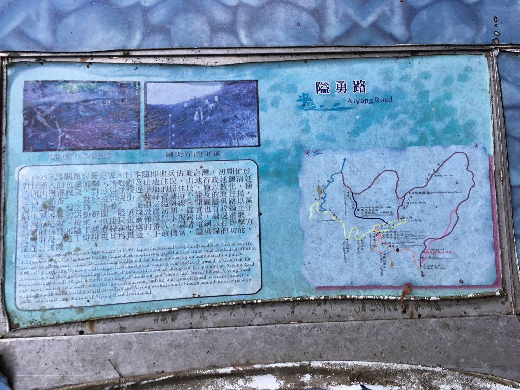
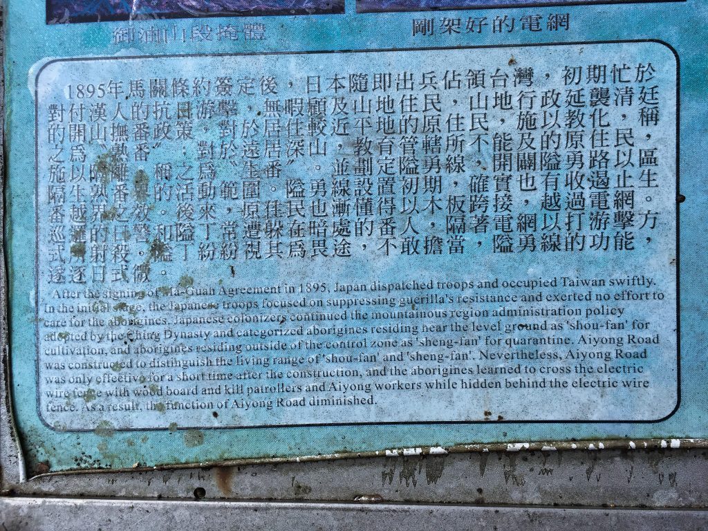
This is where I got to read about a little history of the area.
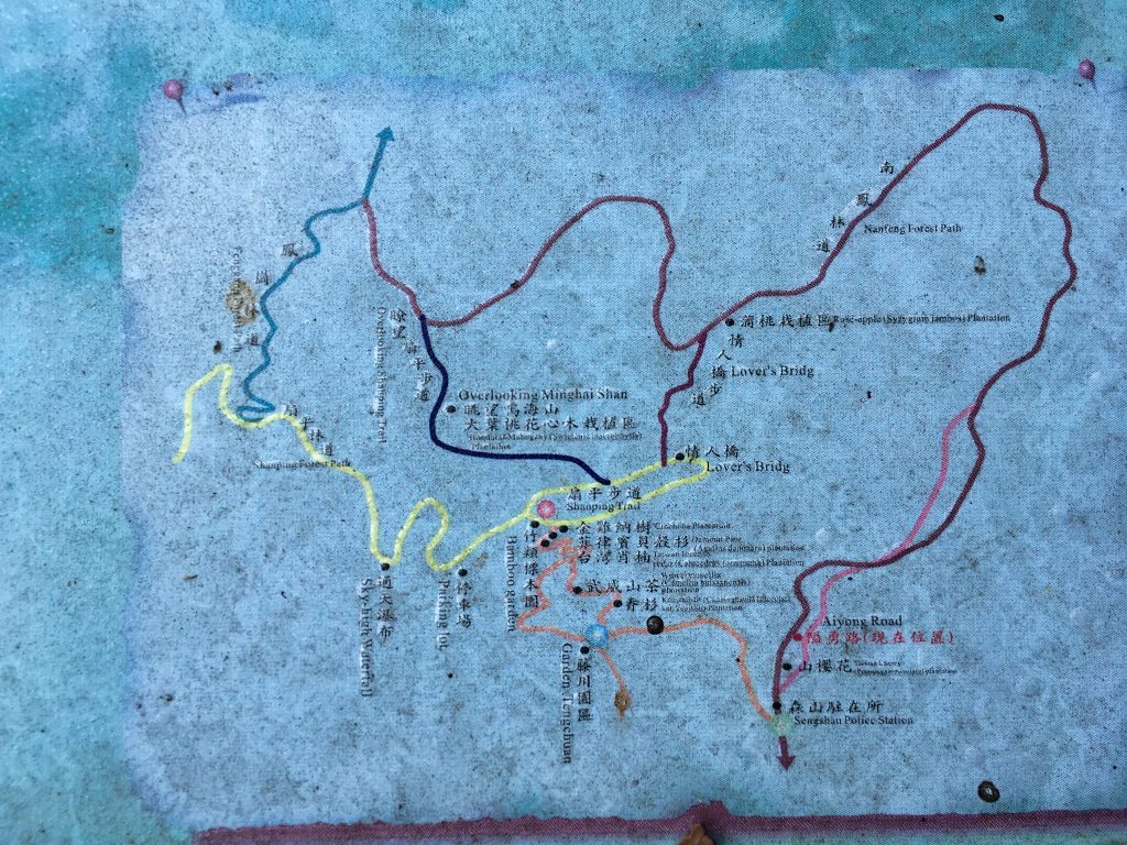
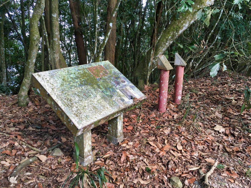
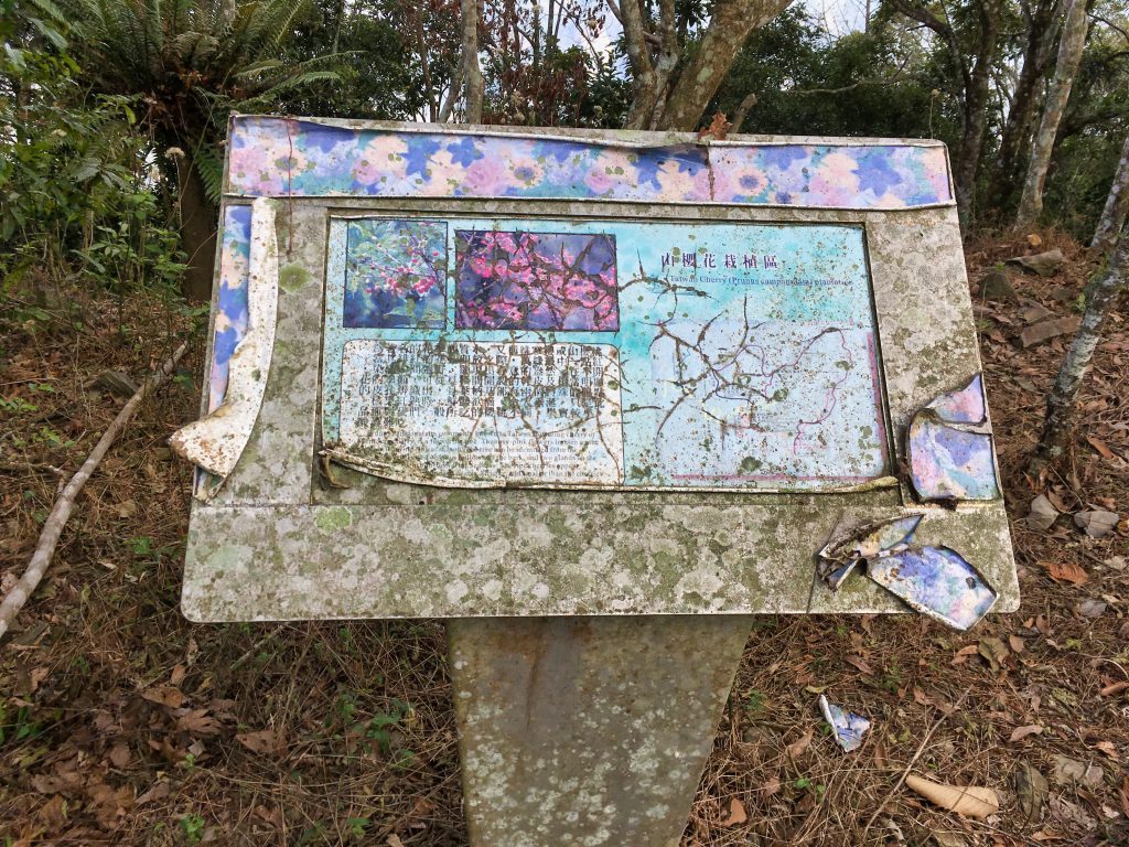
Beyond this area were more and more old little tourist relics.
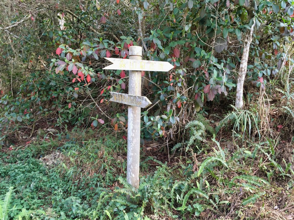
But then I saw this.
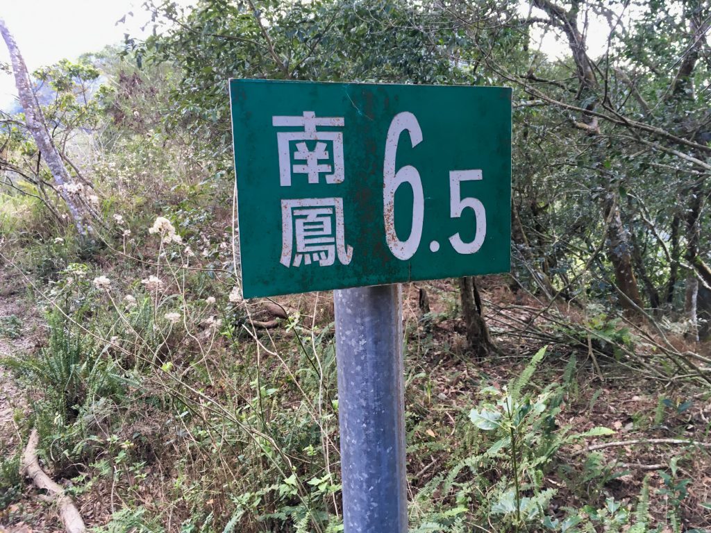
There used to be a road here! Now, I’m not sure how I was thinking tourists used to get up here. Surely they didn’t hike it. So they must have driven cars. I’ve no clue why this sign surprised me then! haha…
I made a mental note to find out from which direction this road came from, Maolin or ShanPing. After a quick bit of research, the answer is ShanPing. There appears to be one or two landslides that have taken out the road further down. Not that it matters. I don’t think they would let people drive up here from ShanPing even if the road was in pristine shape.
I hiked down this old road…
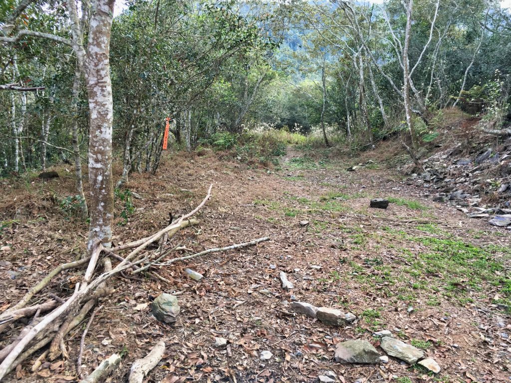
…and arrived at the Sunshan Weather Station.
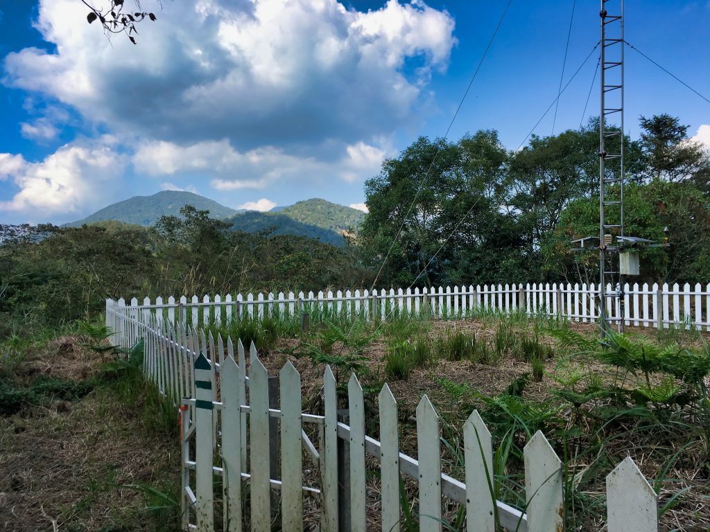
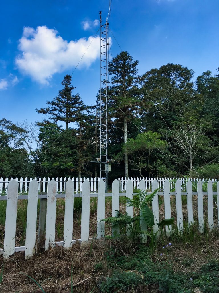
Everything you would ever want to know about this weather station has conveniently been written on this sign.
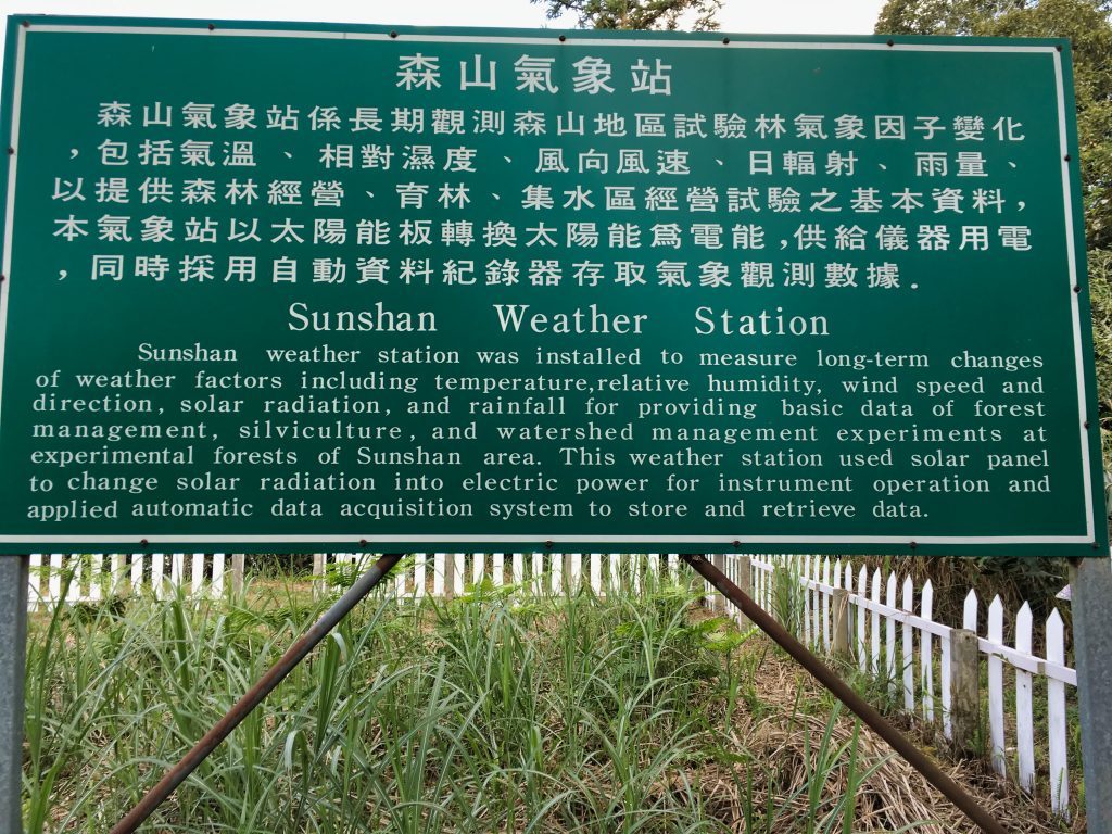
It was now a little after 3pm. I was tired, my water supply was really low, and I needed to eat. Thankfully there were a couple old benches on the other side of the weather station. I had one last major ascent before I started the downward journey into Maolin, so this is exactly what I needed.
And once again I was to find another abandoned cap atop the bench.
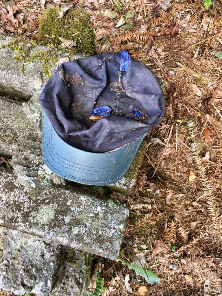
In case you haven’t read any of my other blog posts, let me tell you about the “Abandoned Cap Cult”. Over the years I have found far too many lost caps in the mountains for them to be random. I can’t believe that there are so many careless people out there losing their caps. How does something fall off your head and you don’t notice?? My theory is an underground group of cult-like cap droppers who leave these caps out for nefarious reasons. I haven’t yet pieced together their reasoning for all this, but I’m sure I’ll catch a couple of their acolytes red handed one day dropping a cap. I firmly plan to interrogate them for the answer. 🙂
All kidding aside, I do think it’s odd at the amount of caps I’ve found out there.
I took a good rest, drank as much water as I thought I could spare, ate, and then started the last climb that would take me to MingHaiShan. Now this is where things will get boring for you. The climb wasn’t terribly tough but still took a good deal of my energy, especially since I wasn’t drinking much water. I’ve already been to MingHaiShan, so I had no plans to stop there…nor any of the other peaks along the way that the trail didn’t take me directly through.
I mentioned it would be boring for you. That’s because I didn’t take any pictures for the next three hours. So let me drop something in here to break up all these words.
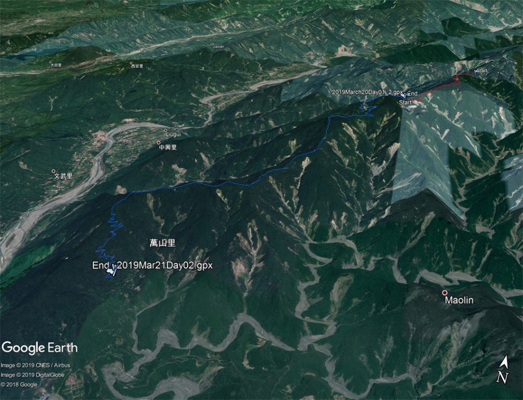
This is the entire route I took over the two days.
Let me finish this up with telling you about those three hours. I was thirsty. Crazy thirsty. I managed to get a cell signal and told me wife to bring a lot of water and a couple bottles of Pocari Sweat. All I could think about was chugging and chugging all those drinks down. I still had some water left, but very little.
I knew that in my current situation it would be tough for me to make it all the way to Maolin village. I would be out of water long before then and thought it best that I didn’t try. Plus, I didn’t want to hike that section in the dark because I’ve never been on that part of the trail. I would like to see it in the daylight. So…there’s another dirt road a little ways past WangZiShan – 網子山 that would take me down. If I had to hike it the whole way down, it wouldn’t actually cut much off my trip compared to the original route to Maolin village. But my plan was to have my wife drive up the road as far as she felt comfortable. That would definitely cut some time.
As I neared WangZiShan I had a small hope that someone might be there that I could get some water from. There are tables and chairs and other amenities at that peak. I guess people like to hike up there and hang out. Well, when I arrived there was nobody there. And I was SOOOOOO thirsty. My water was gone by then 🙁 BUT…
Off to one side was a table covered with a tarp. Under the table I saw a large water container! I opened and looked inside…and there was a bunch of stuff floating around inside. What crap luck! I had already escaped being sick from two questionable water sources, I wasn’t about to risk it a third time. I had already resigned to defeat when I noticed something under the other side of the table…TWO water bottles! And guess what? The water looked clean as could be!!!
I filled up a water bottle and wow, did that water taste good! I drank as much as I could without getting sick and then partially filled up my hydration bladder. It seemed my troubles were over.
I took a good long rest, ate a little, and continued on to meet my wife. Somehow I need to pay back the people who’s water I stole. I really hope they don’t mind.
So…my troubles were over, right? Wrong.
My feet had started to hurt because of all the downhill I was doing. It was getting worse and worse with every step. My toes were hurting the most, but other parts hurt too. But, it didn’t stop me from making it to the road!
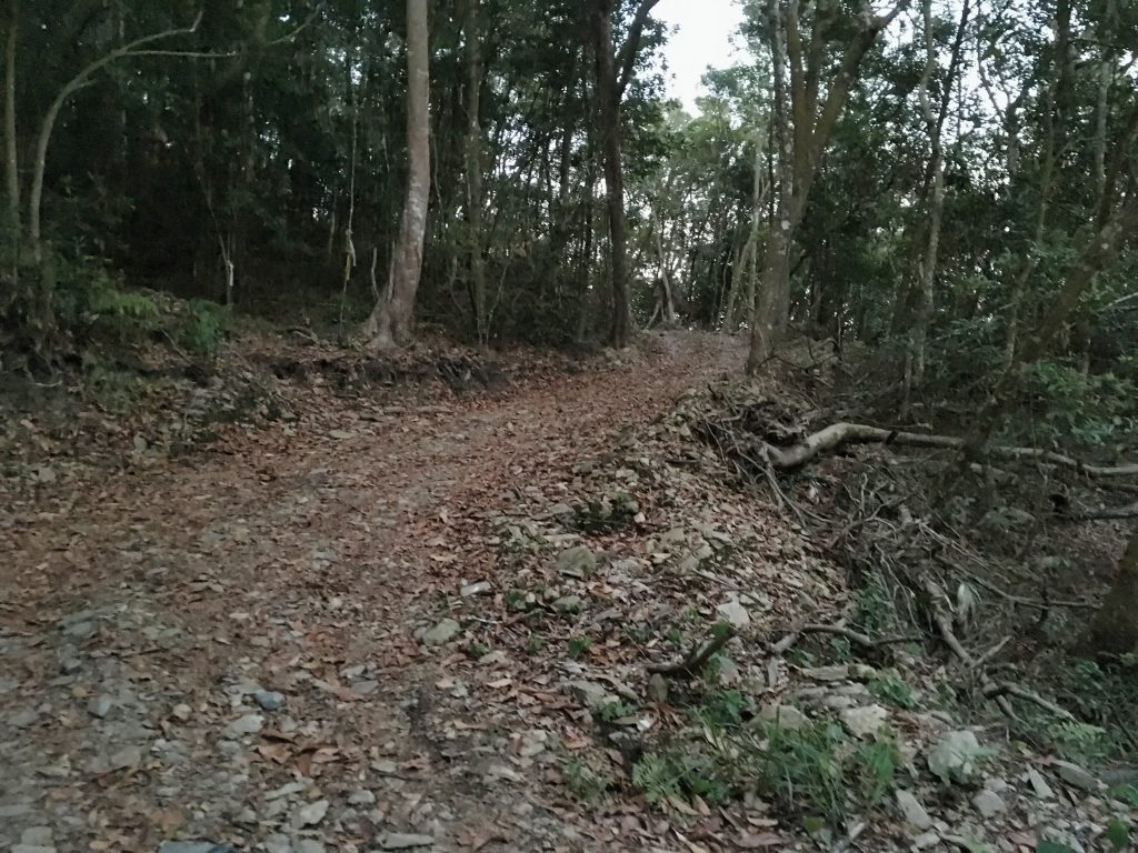
It was darker than this picture depicts.
I didn’t bother resting. I made my way down the steep twisty road, kilometer after kilometer. This just made my feet hurt worse. Well, I won’t bore you anymore. After another hour of foot pain agony, I connected with my wife and drove home. I couldn’t even think about driving back to Tengzhih to get my bike. That would have to wait for the next day.
Oh! And on my way down I found a hammerhead worm. That’s the first time I’ve ever seen one.
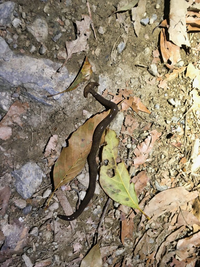
In conclusion, it was as good hike despite the lack of water and not really completing what I set out to do. I think I’ll try it again in a couple years.
And on a side note, the hikers whose GPX track I was following had them completing this trail in one day! My Facebook acquaintance also did it in one day. I have to say that they’re all beasts! There’s no way I could do it in a day.
Date hiked: 2019 March 20 & 21
GPX Track Download Instructions: Click the track on the map to see the download link
Day 01
Day 02



![[Valid RSS]](https://outrecording.b-cdn.net/wp-content/uploads/2020/03/valid-rss-rogers.png)
All your hiking posts are very interesting, if you are ever in Taipei, I can bring you to the secret pyramid on Yaminshan. No machete necessary. It’s a hard hike one hour up steep stone steps to the peak, then off into the bamboo when no one is looking as we aren’t supposed to go there. There are 7 old structures in the undergrowth including the “pyramid” which is about 3 stories tall, it isn’t too hard to climb but there’s only room for about 5 people up there. There are also supposedly tunnels that I haven’t yet managed to find. Email me for pics if interested. Al
Thanks, I appreciate it! I don’t make it to Taipei often, but I’d definitely be interested in that hike the next time I’m up there. Shoot me an email to the address in my contact info above and I’ll let you know whenever that is.