的確是有一條連接到小道起點的山路,距離峰頂也不算太遠,但那條路早就已經因為山崩坍方消失了。 從我停車的地方看來,那條山路真的不遠,但其實也沒剩多少扣搭可以讓我到達主要的小道。不過至少可以說這是一個臨時替代方案。
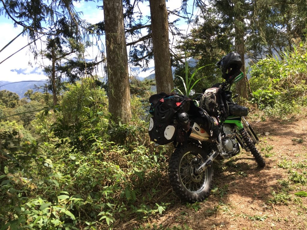
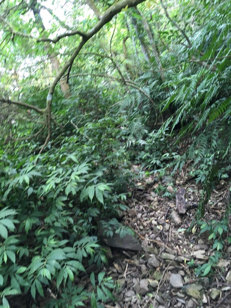
我開始往上,一路上並沒有任何指標,只有一些被做了記號的樹皮。我的GPS顯示一開始海拔500公尺的距離,要爬升150公尺的高度…這對我來說實在有點陡峭。
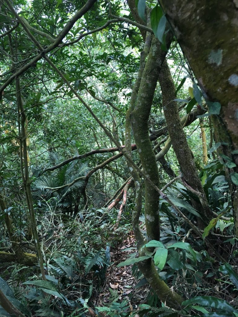
好險剩下的路程並沒有那麼可怕,我總共花了三小時登頂,回程也只花了二小時。
上去之後沒有什麼景色,就算有也枉然,因為隨後飄進來的霧也遮蔽了一切。
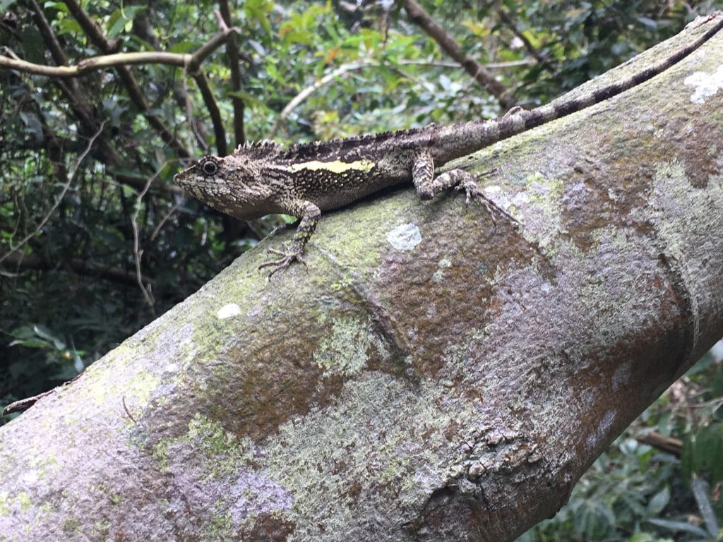
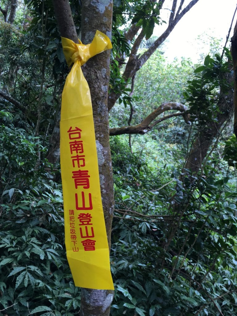
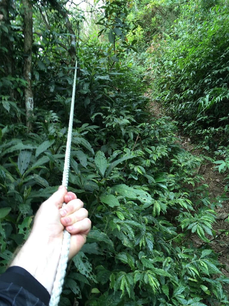
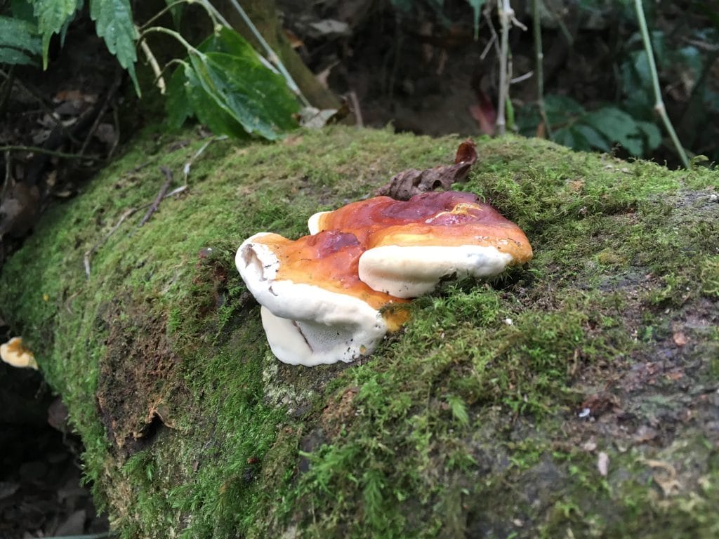
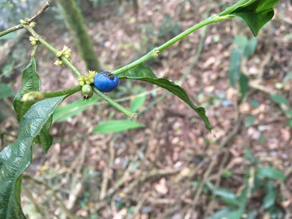
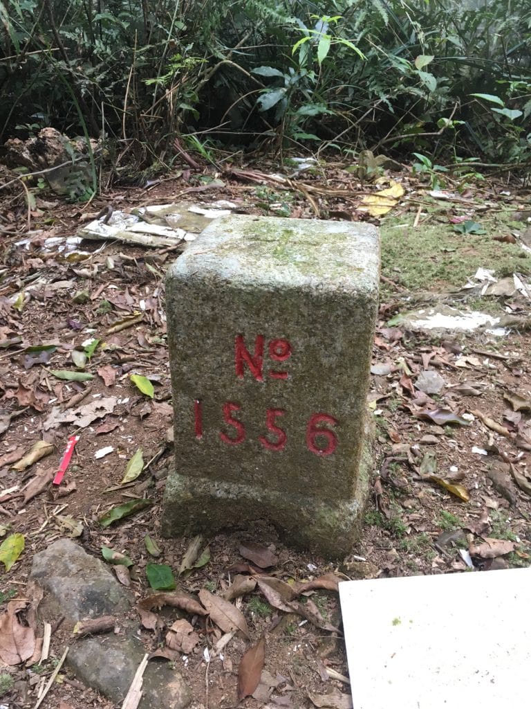
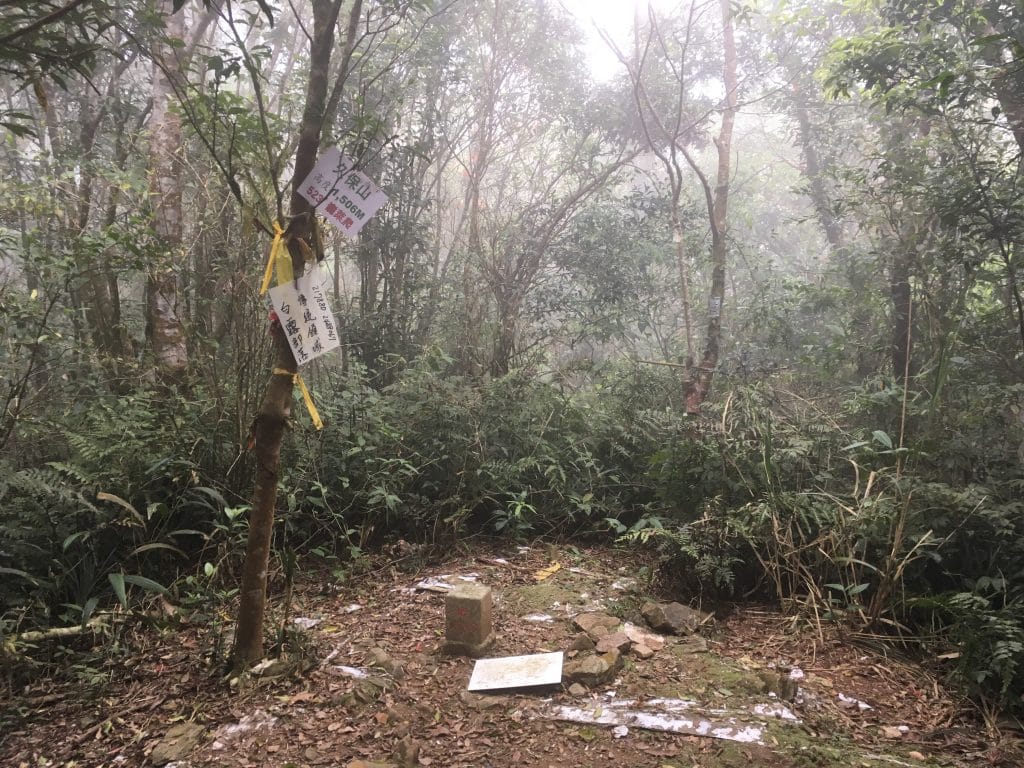
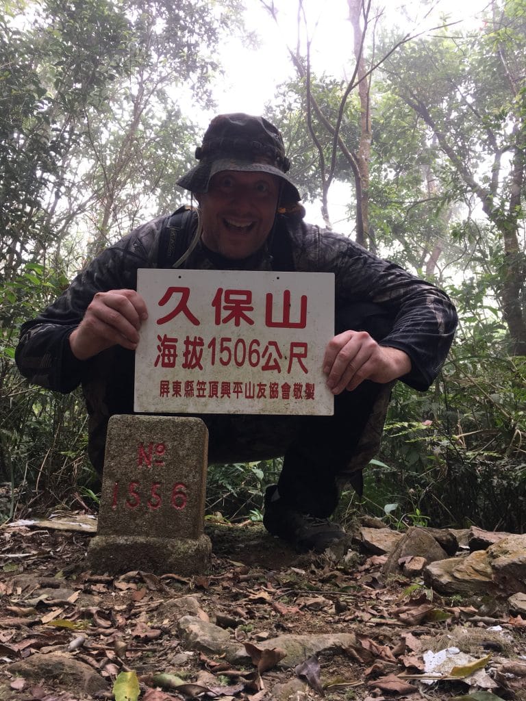
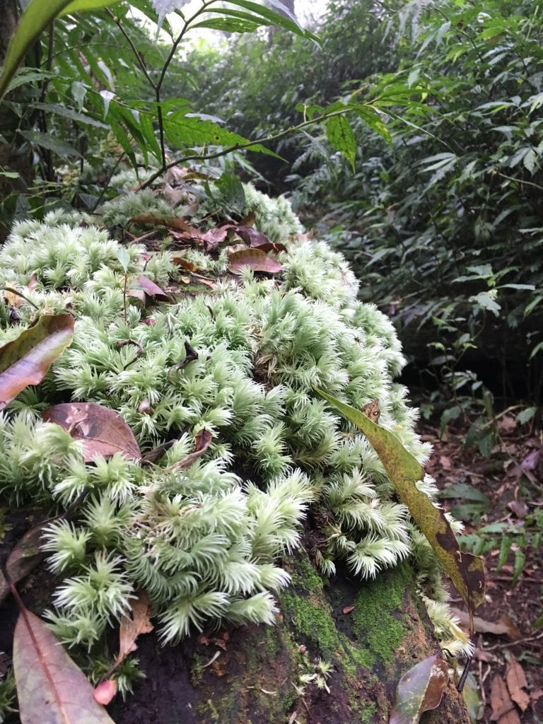
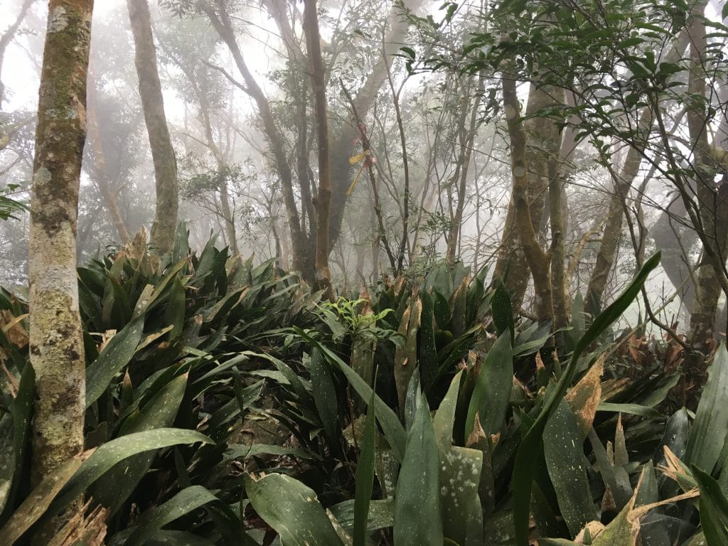
從頂端看來其實都差不多,所以拍的照片都還好,但一些影片還不錯。總結就是,讚!
GPX路徑下載方式: 點擊地圖上的路徑, 即可看到下載連結。



![[Valid RSS]](https://outrecording.b-cdn.net/wp-content/uploads/2020/03/valid-rss-rogers.png)
Thank you for the information. I also rode and hiked this route a few years ago, but with a failed attempt. Now I’m thiking about going there again.
Good luck with it! I hiked from 棚集山 to 久保山 a few months ago and found that the trail I took on this hike is in a different location now. Maybe it’s easier to find and hike. If you see my comment and are interested, I also found a back trail to 棚集山 that you could hike up and then go to 北久集山, 久集山, and then 久保山. It would be longer, but also a nice hike. Here’s the link to that hike: https://outrecording.com/hike-to-pengjishan-north-jiujishan-and-jiujishan-%e6%a3%9a%e9%9b%86%e5%b1%b1-%e5%8c%97%e4%b9%85%e9%9b%86%e5%b1%b1-%e4%b9%85%e9%9b%86%e5%b1%b1-via-alternate-back-trail/