
Ride Info
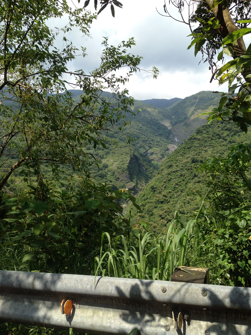
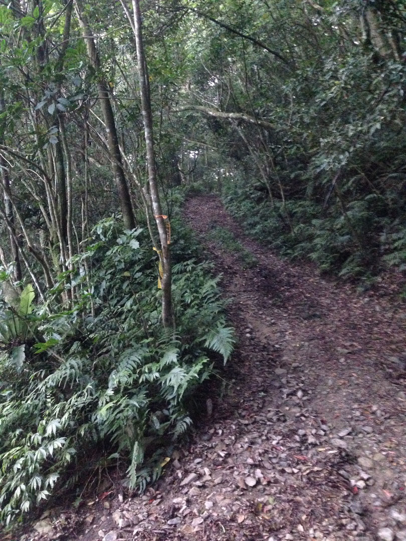
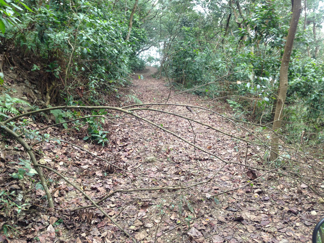
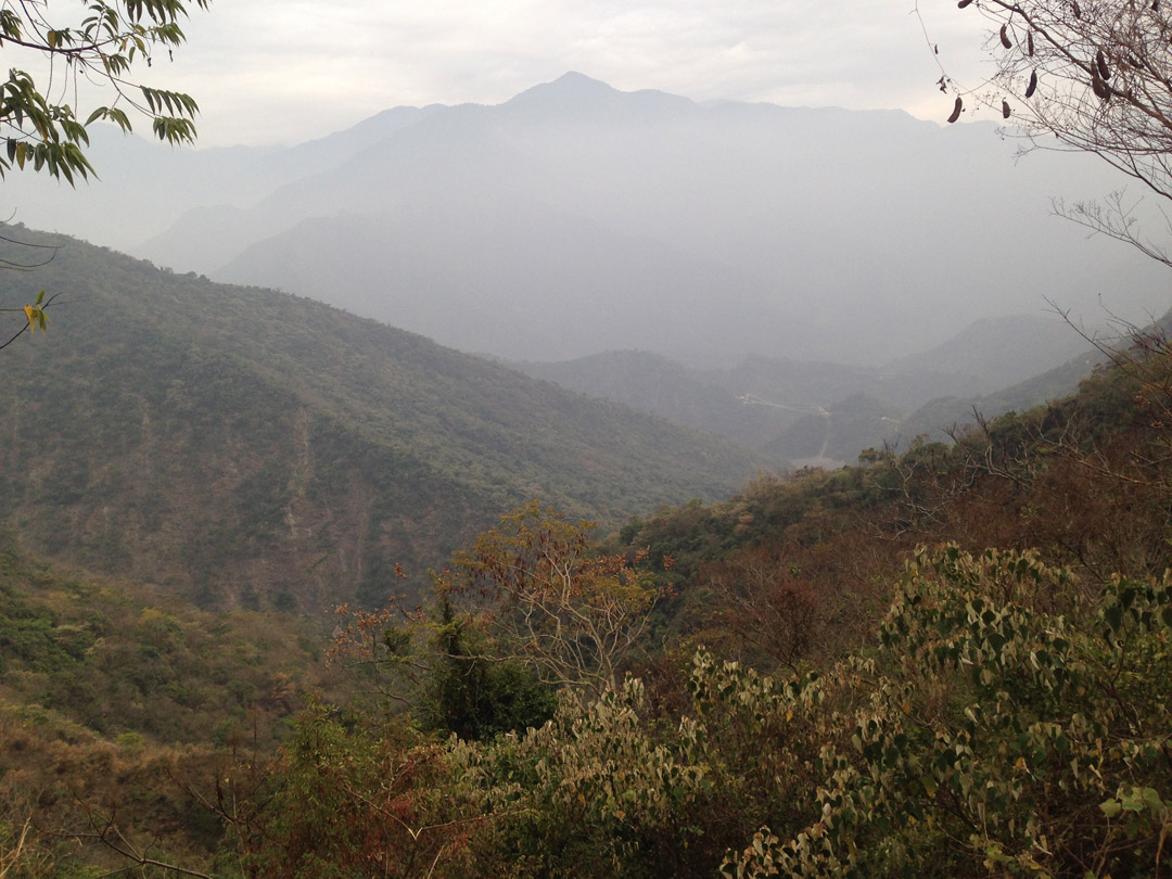
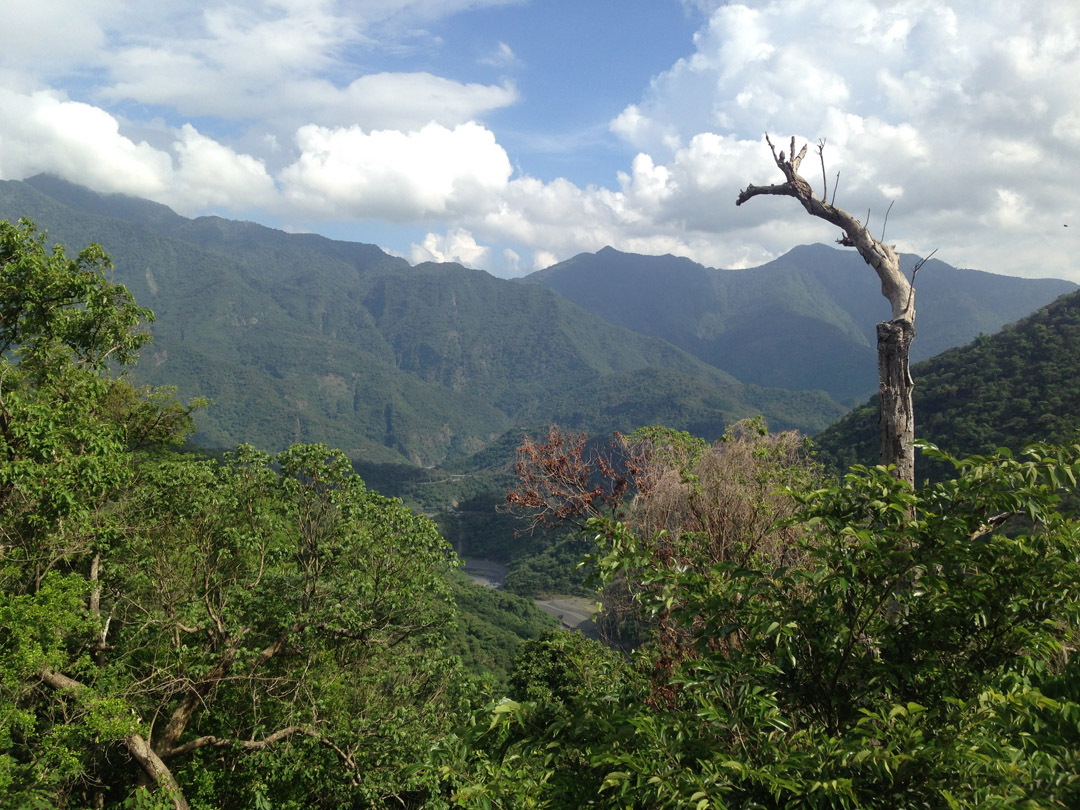
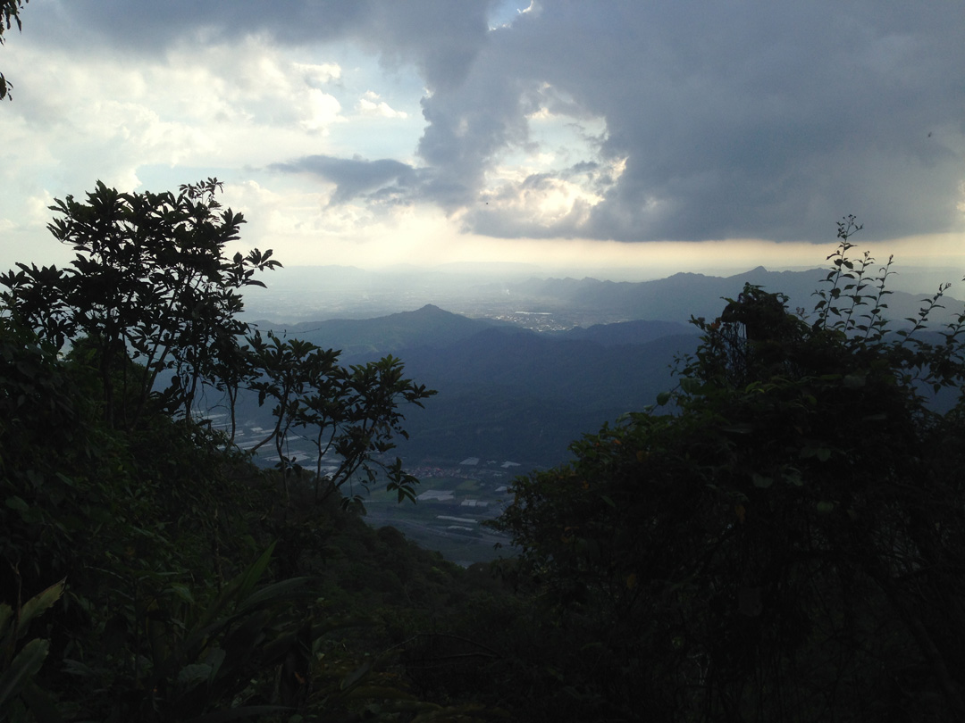
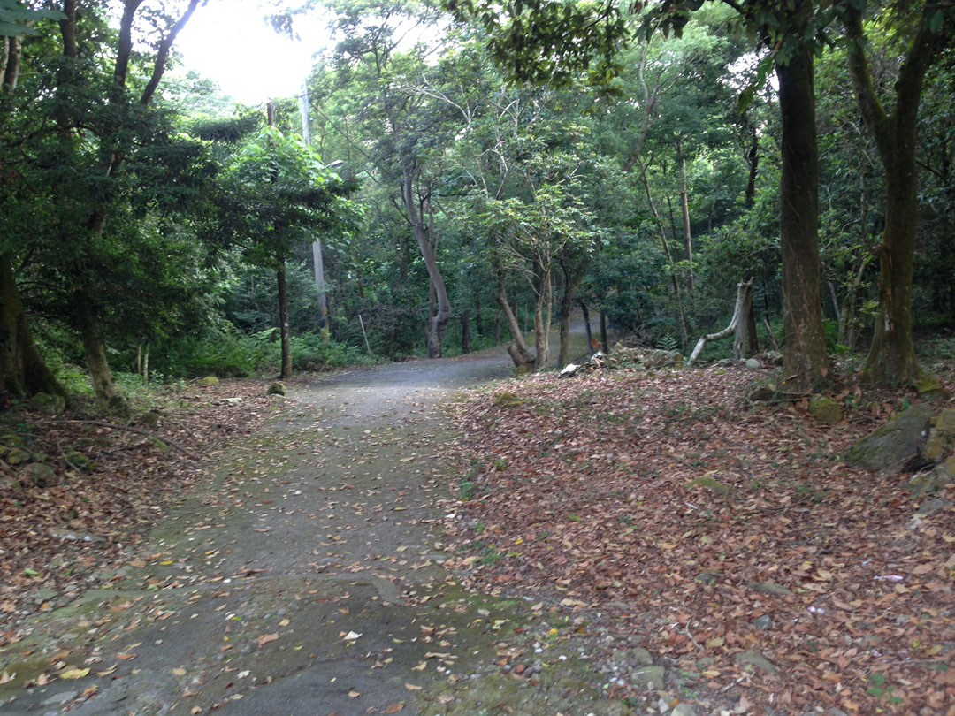
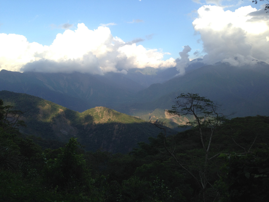
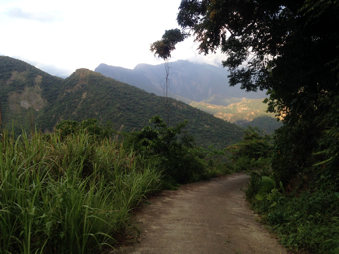
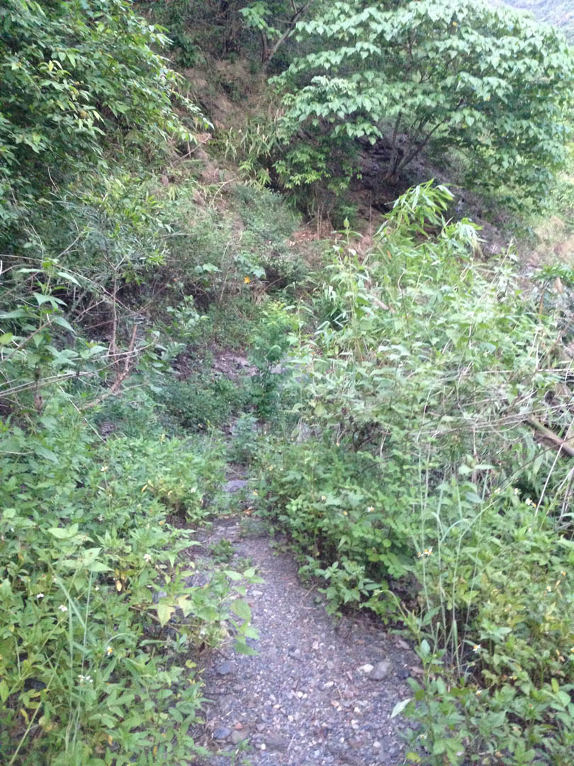
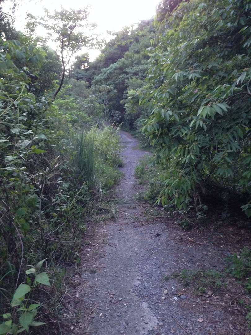
This is one of my favorite areas to ride. There’s a network of trails taking you all around the mountain. You can start by going up one of the two trails opposite each other at the beginning. It doesn’t matter which. You can get to about 1250 meters with your bike and can hike up a bit higher if you’d like. There are a lot of hiking trails, so watch out for hikers. The times I’ve rode there I didn’t see many hikers, if any. But that was on weekdays.
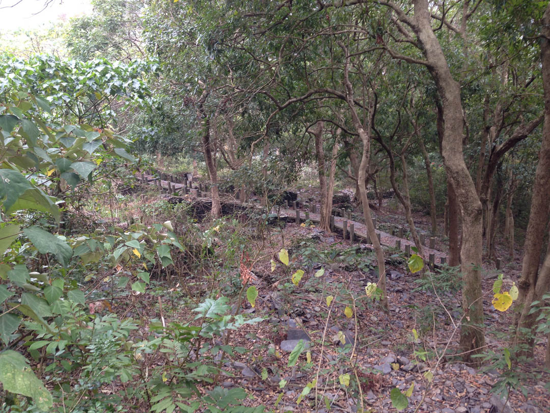
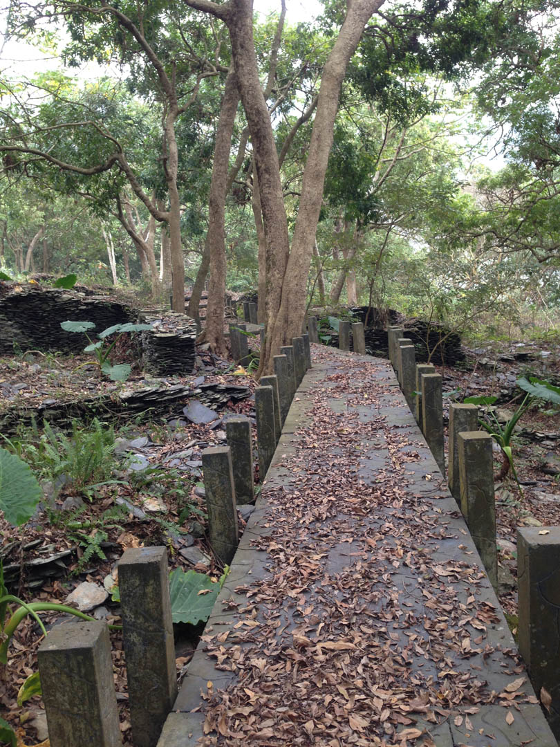
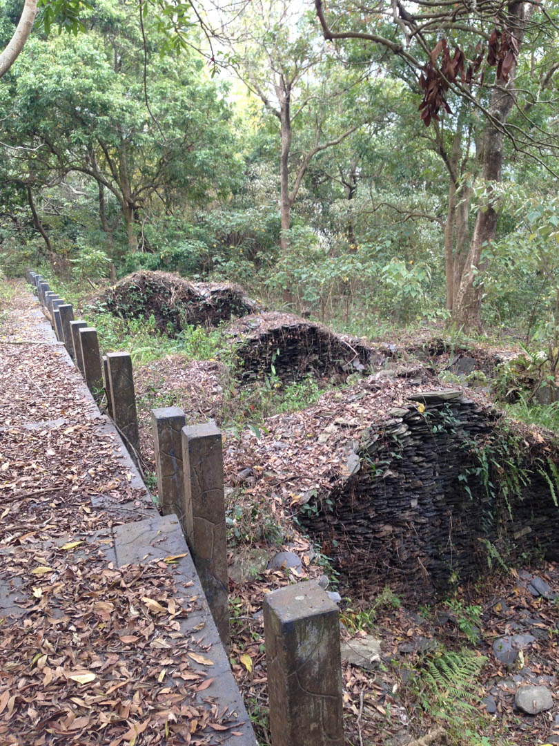
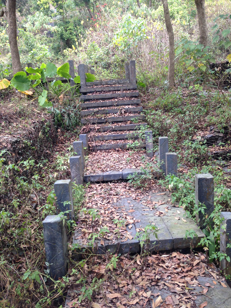
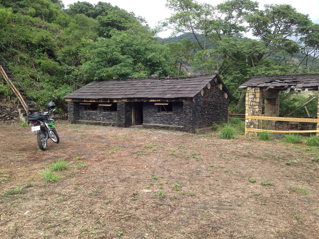
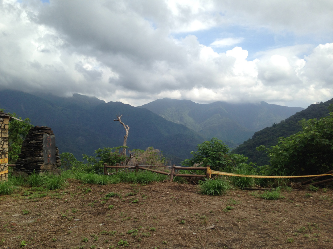
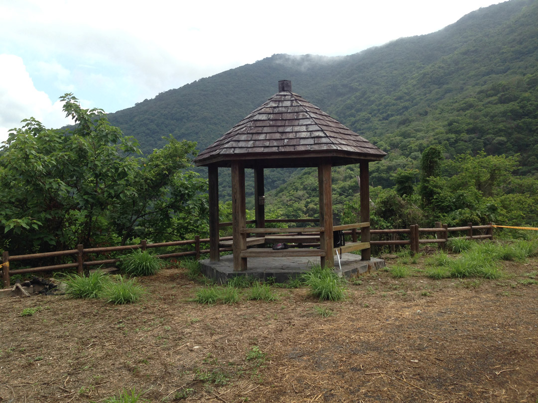
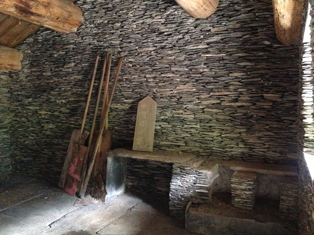
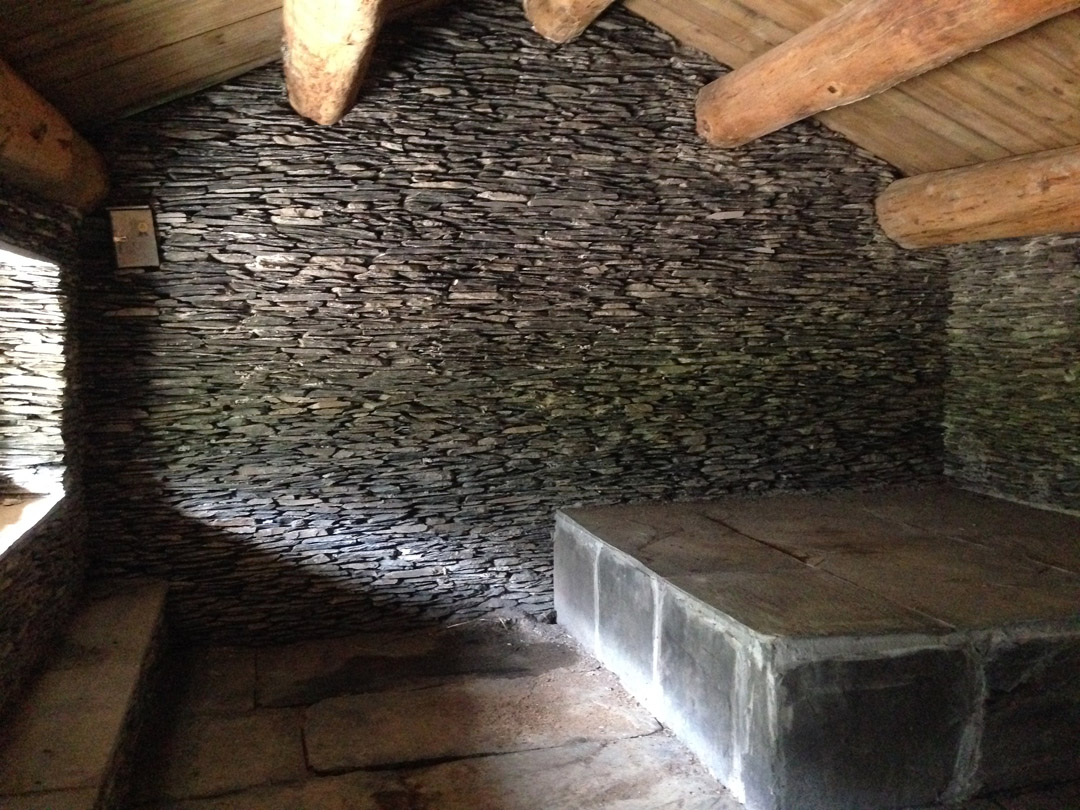
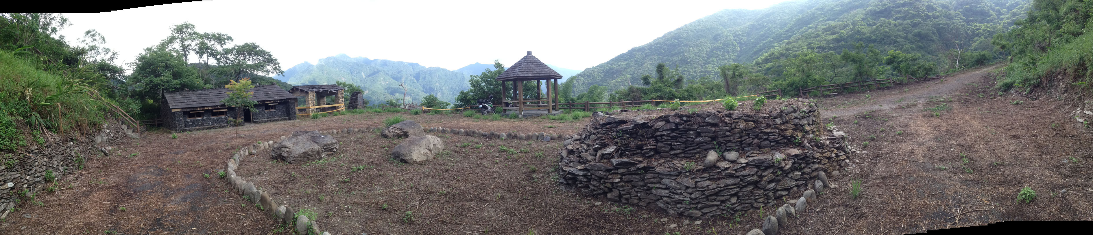
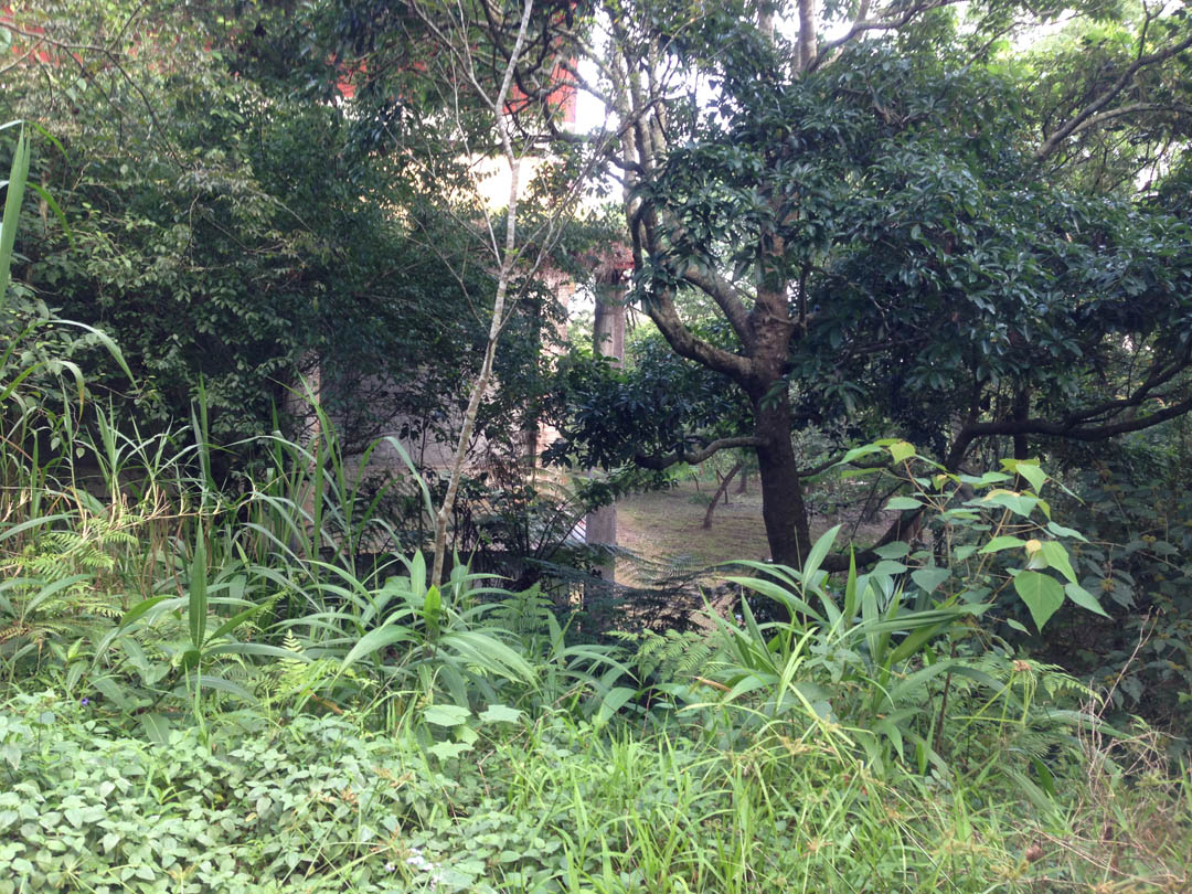
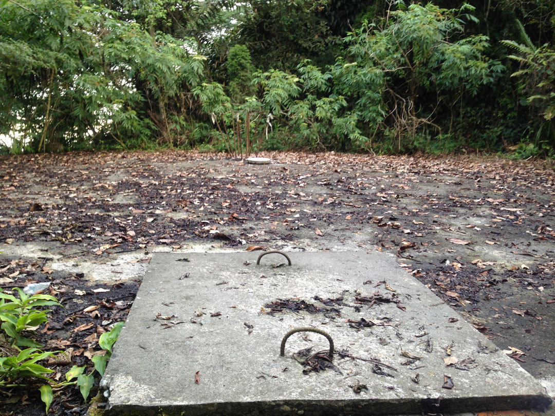
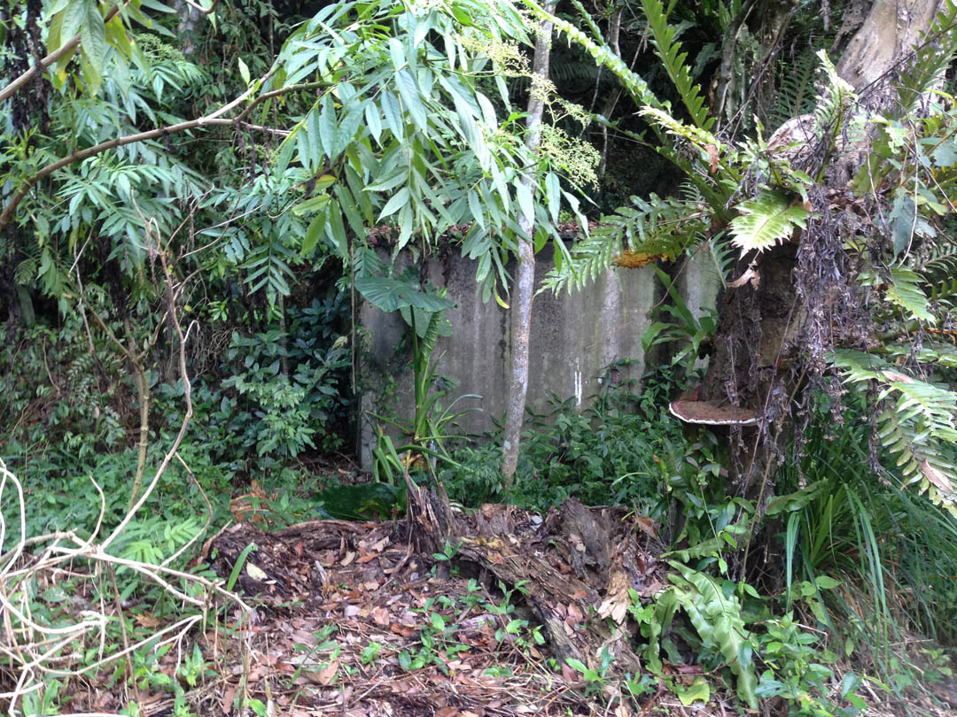
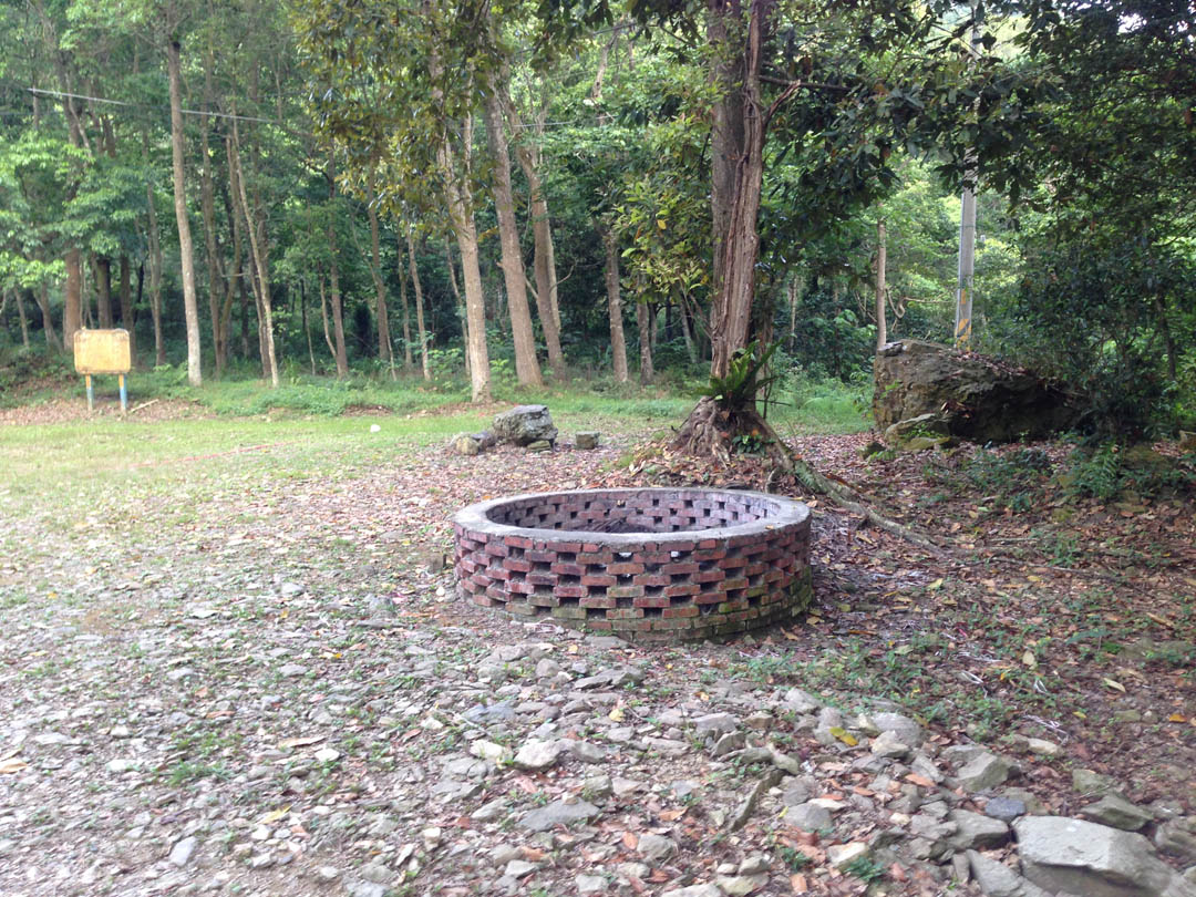
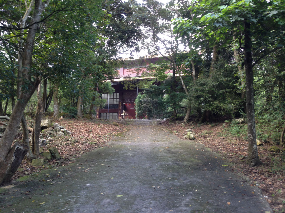
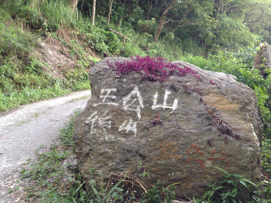
The highlight of the ride is an abandoned aborigine village here: 22.9287285,120.6840709. It would make a decent area for camping, assuming it’s allowed. I saw evidence of a camp fire, so it’s possible. You’ll find an intact traditional home there. There’s also a little gazebo. If you walk around the side of the house you’ll find stairs to take you down to the remains of the village. It’s worth a look. I did a thorough hike of the village and surrounding area in December, 2018.
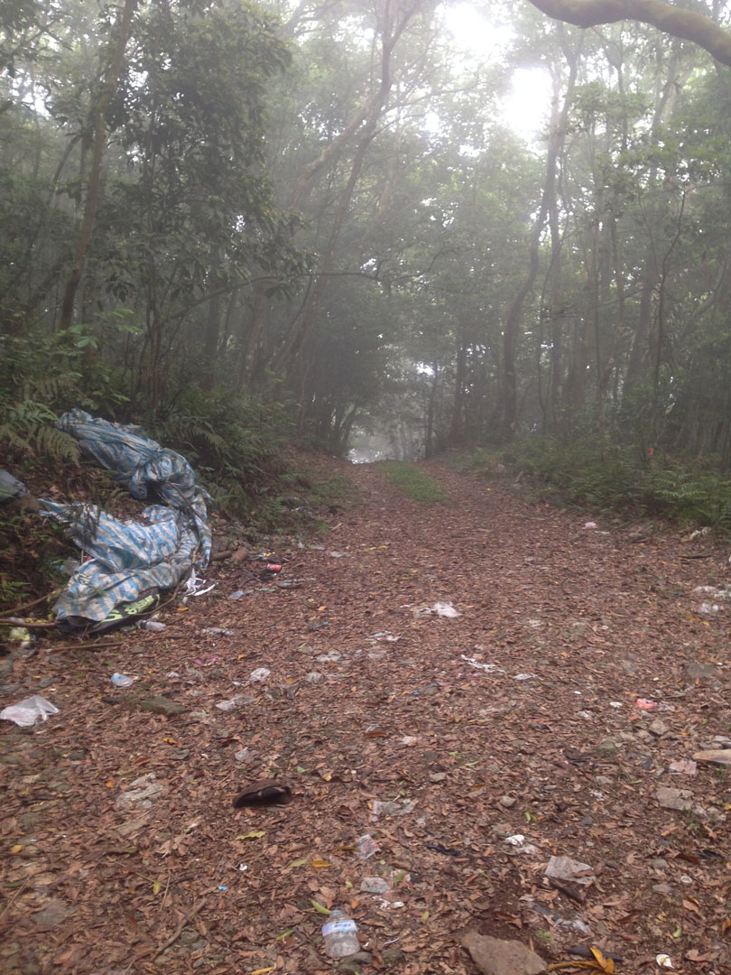
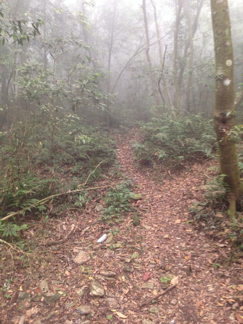
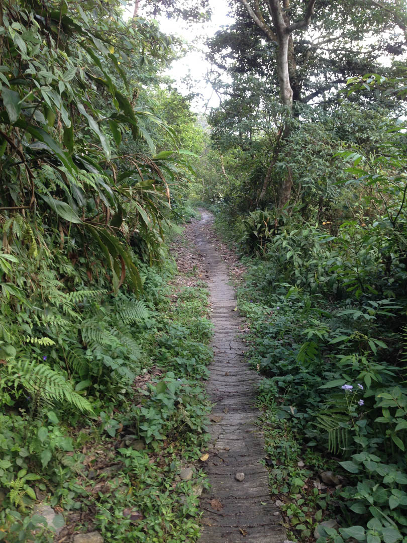
Most of trails are double track. Old concrete in the beginning later turns to dirt and further towards the top is mixed dirt and rocks. It gets steep at the top; I would suggest having proper dirt tires if you plan to make it that far.
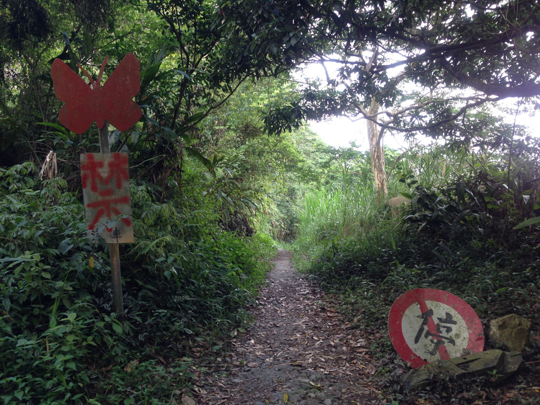
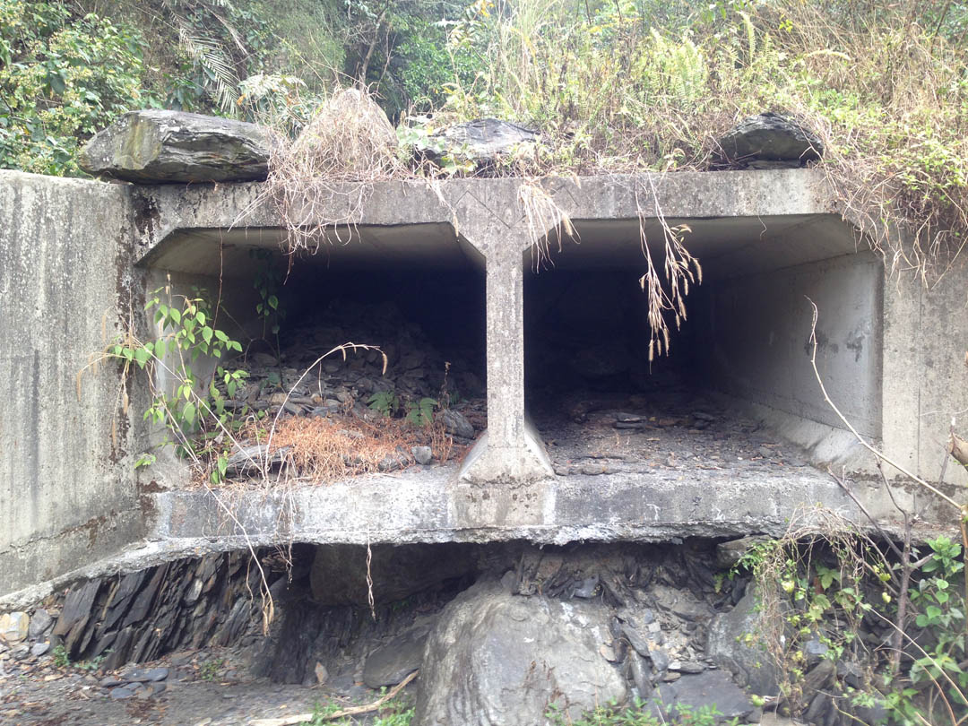
There’s a trail that takes you to the other side of the mountain. Starting here: 22.9375935,120.6739406. There’s a sign that seems to say don’t go in there, but I found a lot of hiking ribbon markers in that area. So people must be hiking it. Google maps shows the road will take you all the way to the to the main road (27), but the road has been destroyed. Don’t expect to make it down that way by motorcycle.
Ride Start:
Date:
2014 Sept 05
2015 Jan 30
2015 Jun 29
Notes
- Meiya waterfall is nearby. At the time of this post the path to the waterfall is still destroyed. You can still make it if you don’t mind getting off the beaten path and doing some boulder hopping. I wouldn’t do it alone, though I did. Be safe. You can find the beginning of the path here: 22.923671,120.6829814. There’s a parking lot and a smallish waterfall and pool when you first drive in. The bathrooms have been rebuilt. They were really nasty for a while there.
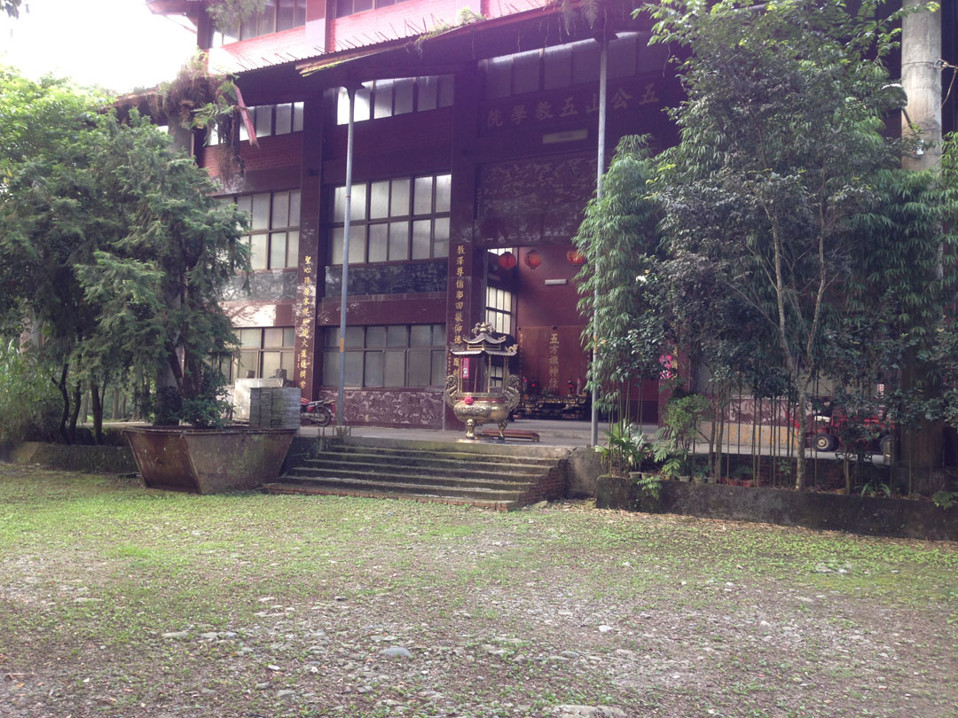
- There’s a large temple here: 22.926845,120.6693409. I doubt anyone goes to this temple much. It’s really remote and difficult to get to with the main road gone. However I did meet a caretaker as I drove by. I’m honestly surprised this temple hasn’t been abandoned.
- I didn’t travel further down the road past the temple. I’m not sure how far it goes before it ends. After I left Maolin I tried going up from the other side to see how far I could get. It wasn’t far. The road ends about here: 22.9137955,120.6525744.
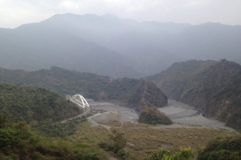
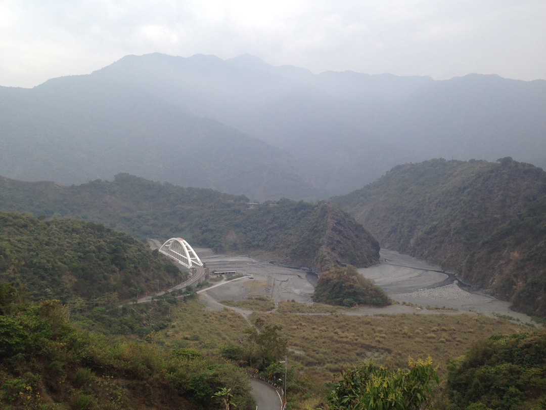
- Be sure to take the opportunity to drive across the suspension bridge here: 22.9144951,120.6879658. It’s a great view and even cooler to drive across. Video of the crossing below.
- Disregard the altitude map above. I pieced the gpx tracks together from three rides. You’ll notice they don’t always connect perfectly. Best I could do. 🙂
Video
GPX Track Download Instructions: Click the track on the map to see the download link


![[Valid RSS]](https://outrecording.b-cdn.net/wp-content/uploads/2020/03/valid-rss-rogers.png.webp)
2 Comments