Some time ago while riding the trails near Haishen waterfall (海神瀑布) I discovered a trail head and made a mental note to find out where it leads. Little did I know at the time, this trail would be a nice challenge.
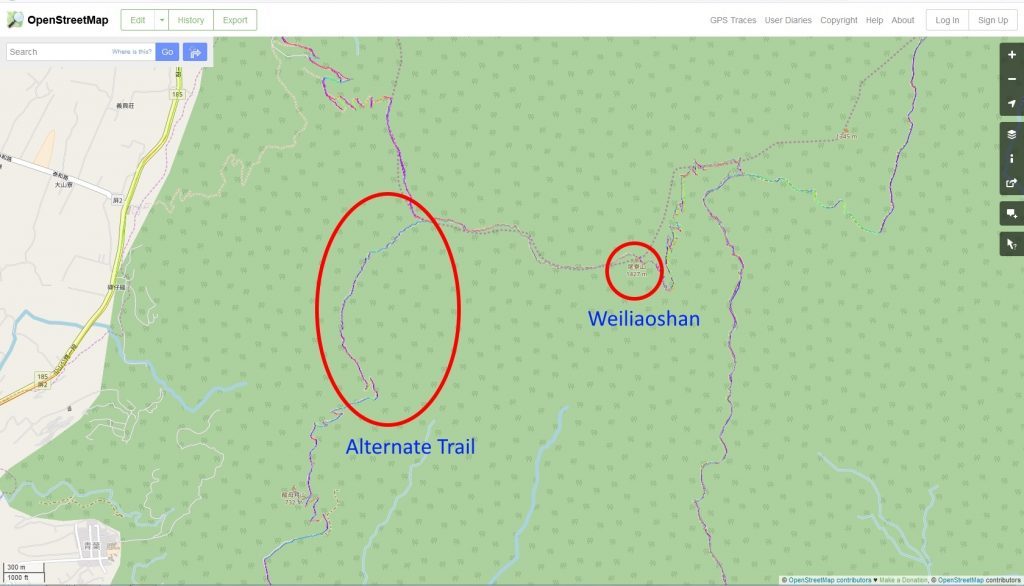
The trail is located about 2 kilometers past Long Mu Bai Shan (龍母拜山), written about here: Hike to Long Mu Bai Shan (Lóng mǔ bài shān – 龍母拜山) After searching through some maps I found that it’s an alternate route up to WeiLiaoShan (尾寮山) – I’ve been wanting to hike it ever since.
I couldn’t find much of anything about this trail online. The only evidence I found that it’s still used–aside from the ribbons at the trail head–was a gps trace on openstreetmap.com…but I couldn’t figure out how to download it. So I eventually put this hike aside for another day.
That day came last Friday. The weather was looking good and I felt it was time I tackled this trail. Unfortunately, I had completely forgotten that I didn’t have a gpx trace to follow. This created problems that I’ll get into later.
| Let me first say a little something about this hike. Unless you’ve been to Weiliao many times and want to try an alternate route or you’re like me and enjoy a challenge, there’s absolutely no reason for you to hike this trail. There are no views at all from the trail head to where it links up with the Weiliao trail. It’s tough going. The trail is difficult to find at times. And there are a couple other obstacles that will give you pause. On a good note, the ride/hike to the trail head does offer some views. |
I’m not trying to discourage you. This is more of me covering my butt. 🙂 I don’t want you yelling at me after you’ve “suffered” through this hike.
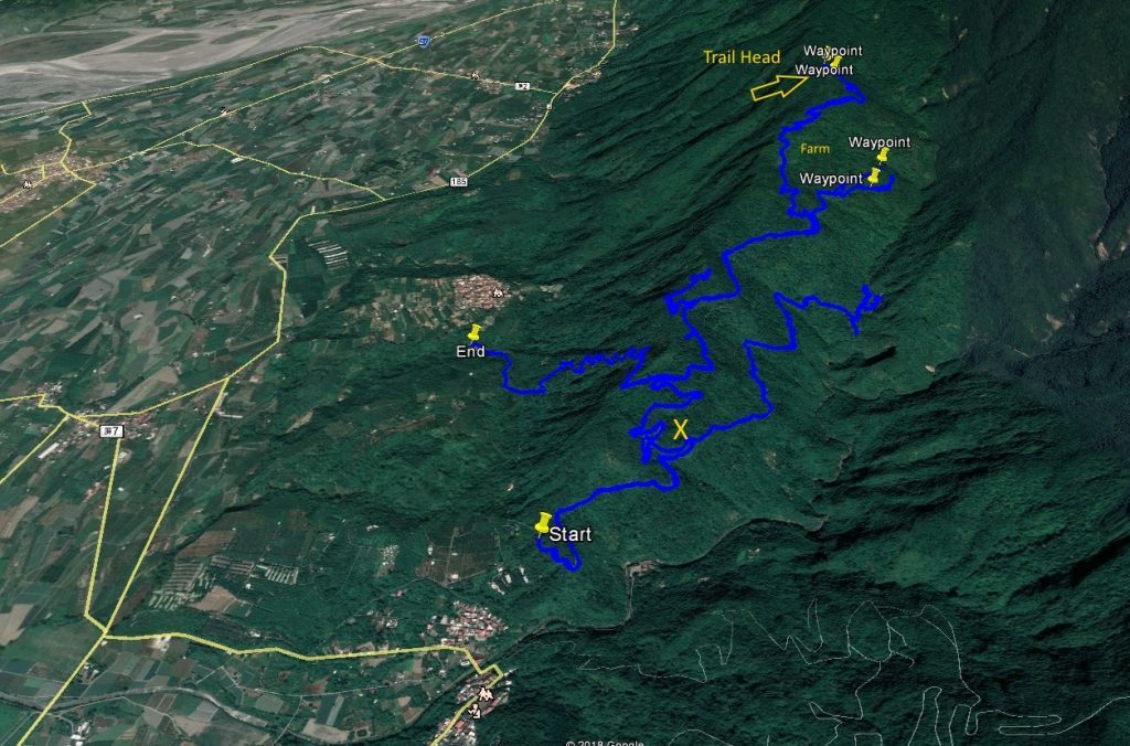
If you’re still with me, then there are two ways to get to the trail head – both not easy. Download the gpx track below and it will show you both routes.
[sgpx gpx=”/wp-content/uploads/gpx/2018March21_1.gpx”]
The route to the south is your best bet if you want to drive some of the way. Depending what time of year you go, you might be able to get past the “X” on the map below. There’s a farm deeper in the mountains near the trail head that operates part of the year.
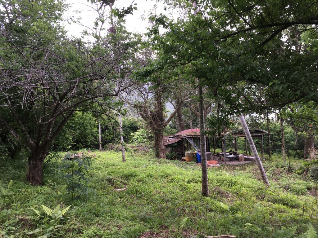
If you’re lucky the trail will be completely clear of all debris and overgrown plants. If not, you’ll probably need to park near the X and hike the rest of the way.
The route to the north is another story entirely. Let me say this clearly…you will NOT be able to make it up on anything less than a motorcycle equipped for off-road or some type of 4×4. Seriously.
Don’t get me wrong, it’s possible. Sure. But the trail up is very rocky and extremely rutted. You’ll be spending all your energy keeping the bike off the ground…or picking it up. This should give you some idea of what to expect.
You’re best bet would be to park somewhere before the concrete ends and hike the rest of the way. But it will be a long hike; about 6.5 kilometers to the trail head.
Worst case with the south trail, it would be about 6 kilometers to the trail head, but you’ll avoid a couple hundred meters elevation of switchbacks that the other trail has. And if you’re lucky, you’ll be able to cut a lot more off that distance if the farm is operating.
As you’ll see in the gpx trace at the bottom of this page, I took the north route. I spent about an hour driving to the trail head. The trail at one point was blocked by some fallen trees that I had to clear. Otherwise it would have been a bit quicker.
The trail head is located almost at the end of the trail. It’s marked but not well. There’s a couple ribbons tied to trees somewhere in there.

The hike started off with me clearing the trail head of overgrowth. After that it didn’t get much better. The first leg of the trail consisted of a rocky path on the side of the mountain; every step having to be carefully placed. Right about when I turned up towards the ridge-line is when the going started getting tough.
First, the trail markers were old and not always easy to find.
See the two small red ribbons on those trees? Yeah, I barely saw them too.
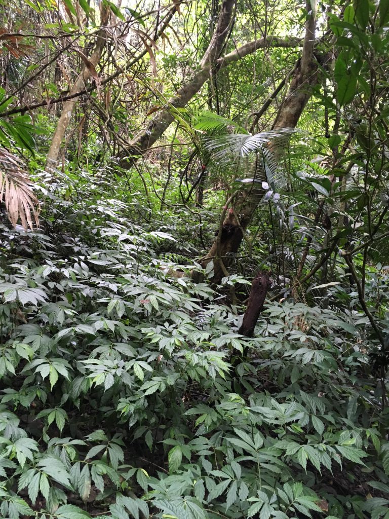
Second, there were a lot of those thorny fern plants blocking the trail.
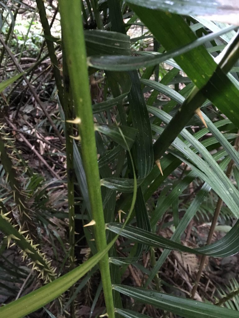
Some you could go around and some you couldn’t. I spent a fair amount of time hacking away at these nasty things.
Lastly, and this was a big one, I realized I didn’t have a gpx trace to follow. I was in a dead zone and couldn’t search online for that OSM map trace. I looked through all my mapping apps and luckily had one that showed where the trail should be.
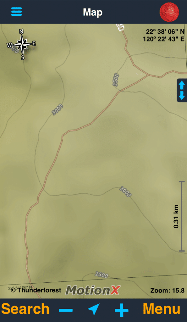
It wasn’t much to navigate from, but it was the best I was going to get. Luckily the ribbon markers were around, though not always easy to find.
When I made it to the ridge I was surrounded by bamboo trees. LOTS of bamboo trees. At first I was happy because I didn’t see any more of those thorny plants. But this bamboo turned out to be worse. It was littered everywhere.
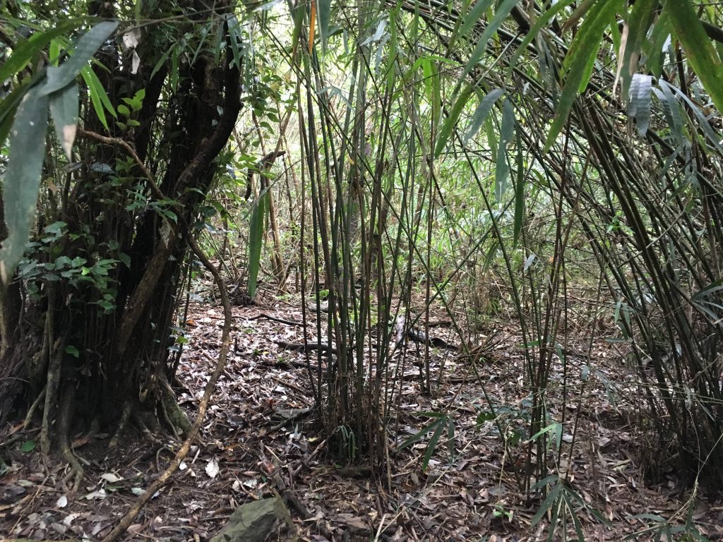
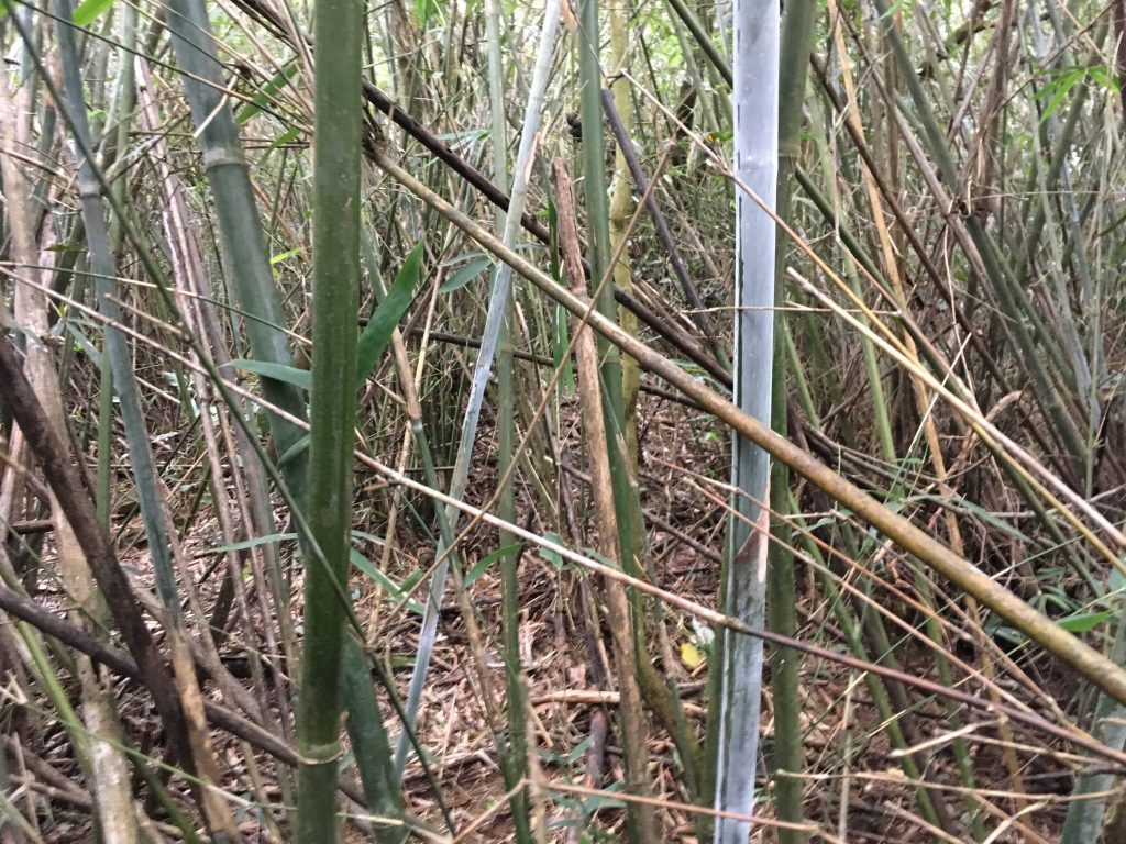
This stuff isn’t easy to cut either. I’d hack and hack and hack and hack to get through a section only to be greeted by another patch of the stuff. It was partially my own fault for losing the trail though. Later I randomly found the trail again and the going was a bit easier.
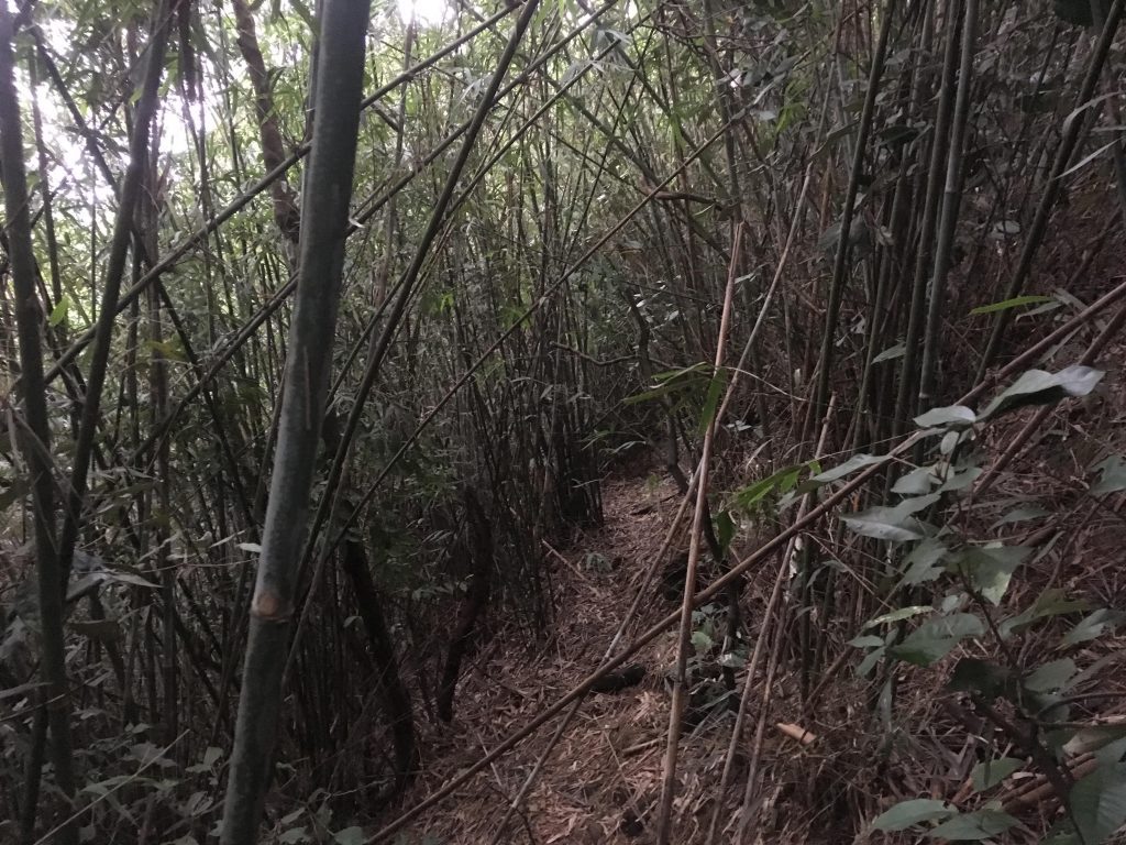
But only a little easier…there were more of those thorny plants.
So now I was dealing with frequents stops to clear bamboo, thorny ferns, and both bamboo AND thorny ferns at the same time. These things would grab you and not let go, especially the long, thin tips that grew out like vines. They often grabbed me and wouldn’t allow me to pass. And some of the bamboo was so dense you could only crawl under them.
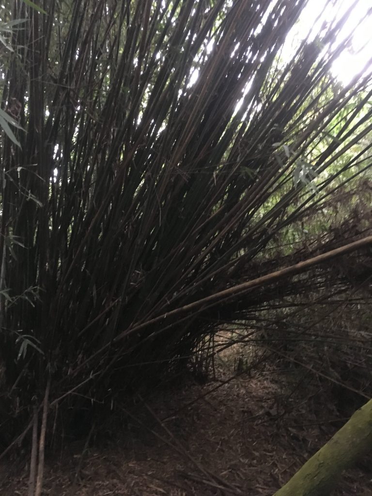
It…was…slow…going…*sigh*
A good portion of the ridge was like this. Hours went by before I got to the last section. The bamboo ended but the thorny ferns were as strong as ever.
There was one spot with a couple fallen trees that had some really thick ferns with massive thorns. They were tangled up all over each other. I couldn’t go to the right because of a rock face. It looked like there was a trail that went around it but it was downhill and didn’t seem easy, so I went forward and got my money’s worth out of my machete. I hacked a nice path through those damn things. I didn’t think to take a picture, but imagine a whole mess of these all tangled together.
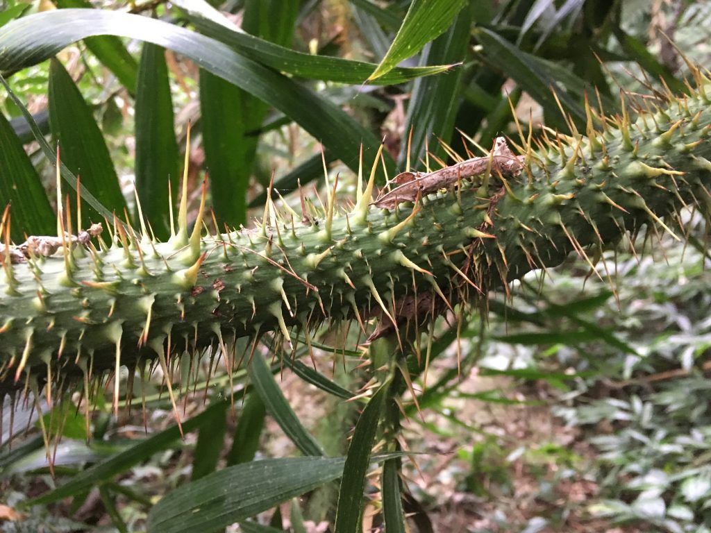
After that the ferns were fewer, but still a problem. Also the elevation gain was getting steeper. I knew I was getting close to the end, so I pushed forward despite my burning legs.
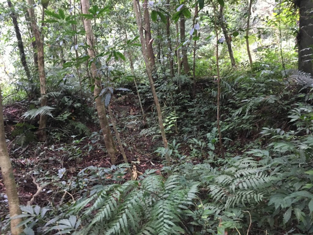
I hiked up and up until I came across what could have been a house or structure at one point. This large open area surrounded by rocks dug into the earth reminds me of some old abandoned aboriginal house remains that I’ve seen. It’s difficult to make out in this picture, but the dimensions are close to what I’ve seen before.
Considering the location, it seems odd to be here, but near the “house” I found various objects lying around. Toothbrushes, pots, pans, and other debris.
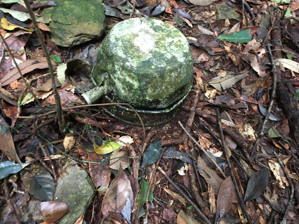
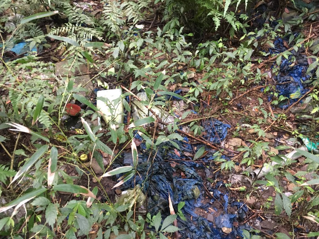
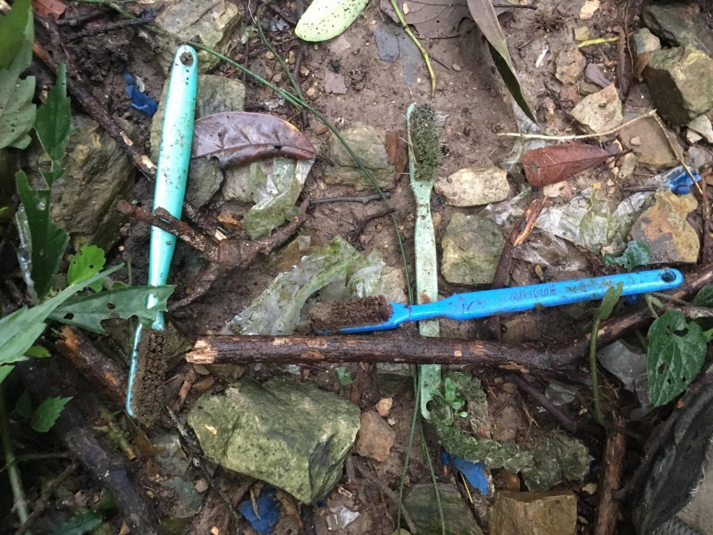
Maybe it was an old hunter’s camp?
Not long after that I made it to my goal, the main Weiliao trail!
Unfortunately, all I got for my trouble was an old rope tied between some trees.
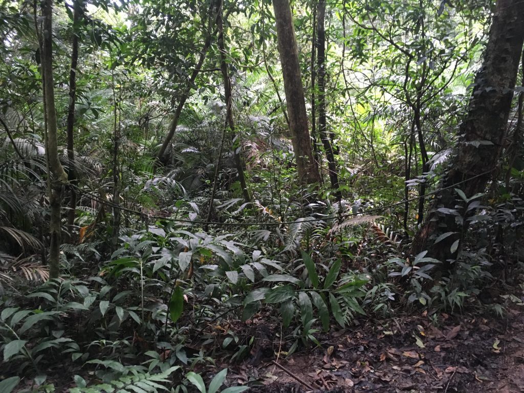
My original plan had been to hike to the Weiliao peak, but it was now 3:30pm. If I went for the peak I wouldn’t make it back before dark. It took me a total of 3 hours and 45 minutes to hike 2.3 kilometers. That’s a SLOW pace. All that stopping and going ate up the time.
I had been to the peak before using another alternate route but I still haven’t hiked the main trail, so I wasn’t bummed about not making it this time. I achieved my main goal, so I was happy.
And since I couldn’t take a peak picture, I took a…”trail junction picture..?”
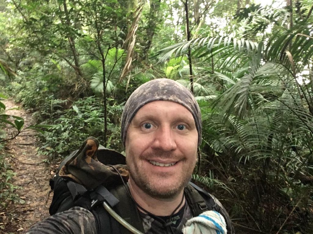
And on a good note, I figured it would only take me an hour and a half to get back to my bike since the trail was now cleared. So I rested a bit and turned around.
My estimate was pretty close; it took me an hour and forty-five minutes and I got back just before dark. I only pulled out my machete a couple times to clear the parts of the trail I didn’t hike on the way up when I lost the trail. It wasn’t that bad on the way down.
All in all it was a good hike if you don’t consider getting bitten by a horse fly a big deal. I don’t think I would do it again–no views, trail head difficult to get to, thorny plants trying to kill me–but I’m happy I did it.
If you’re considering this hike, do it now and take advantage of my hard work. I bet it wouldn’t take much more than a couple hours now.
Good luck!
Date Hiked: 2018 Sept 28
GPX Track Download Instructions: Click the track on the map to see the download link
For navigating the trail, I would suggest using the second GPX track. I didn’t deviate from the trail as much as when I went up.



![[Valid RSS]](https://outrecording.b-cdn.net/wp-content/uploads/2020/03/valid-rss-rogers.png)
2 Comments