After last hike’s battle with what I thought were shin splints, I decided I needed some rest. But two weeks of rest was all I could take; I was itching to get back out in the mountains. I didn’t know for a fact that I had shin splints–they’re new to me–but I thought I should play it safe and hike something easy. That’s how I decided to hike BeiHuLuShan 北湖呂山 again.
BeiHuLuShan is a pretty chill hike. But the problem with me is that I can leave well enough alone. I dislike hiking the same trails twice. There are SOOOOOO many great trails in Taiwan to hike and I can’t possibly hike them all in my lifetime, so why waste a hike on something I’ve hiked before? That’s my logic anyway. So I changed my plans at the last minute. I would still go to BeiHuLuShan, but via a different route.
The problem was, I didn’t realize how STEEP the trail would be. I had originally thought I would be hiking up a ridge that gradually increased in elevation. But when I arrived at the trail head I found that I was a kilometer or so short of the ridge. A quick calculation on my preferred GPS app (GPS Tracks for iOS) told me I was only 800 meters from the peak as the crow flies. Even if it turned out to be double that distance I didn’t think it would be a big deal. Boy was I wrong!
The Drive Up
The drive up to the usual trail head is relatively easy. It’s concrete most of the way. A car can usually get that far if the last section has been cleared. Past that and it’s hit or miss. The first time I drove out there the trail conditions were pretty bad.
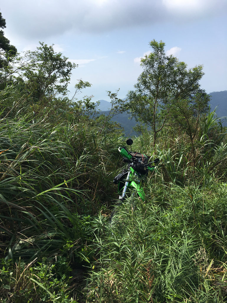
I couldn’t get far due to a landslide.
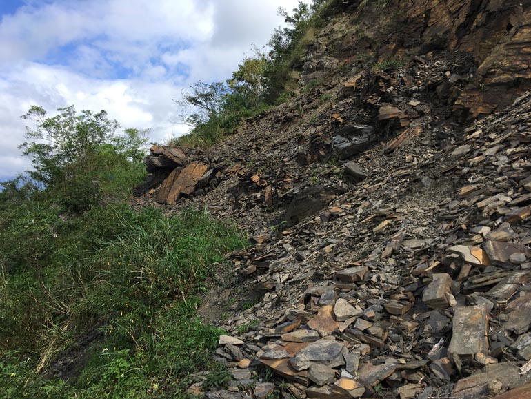
But since then the landslide has been cleared. You can drive all the way back to the abandoned–but still taken care of–Kulalangau Village. However, there are a couple of smaller landslides further along in various states of crumble. When I drove through they were dangerous, but not impassable. Some friends drove through there a month or so later and had major problems getting past one. One guy needed to drag his bike across. Regardless of landslide conditions, only a motorcycle with decent suspension will be able to make it back that far.
Lucky for you, you won’t need to go as far as those landslides if you plan to try this alternative trail to BeiHuLuShan.
So…back to the drive up. The road from the normal trail head to the alternative trail head is challenging in some places but well worth it for the views in a few places.
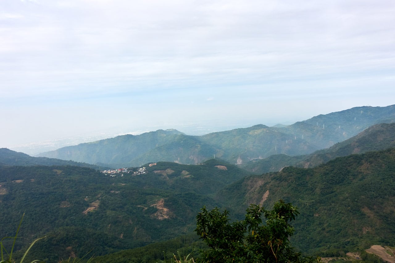
My past trips yielded some great pictures at this spot. But not this time. The weather was cold and hazy.
Trail Head
I arrived at the trail head after a pretty comfortable thirty minute ride.
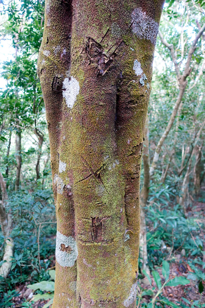
This nearby tree caught my eye. I’m not sure if someone was messing around with a blade or if these markings have some significance.
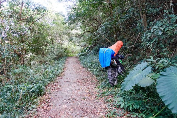
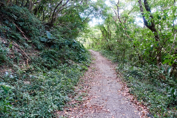
The trail starts at a moderately steep slope as seen on the left of the below picture.
The Hike
The beginning of the hike looks promising. There are some old-ish looking trail ribbons and what appears to be a trail. However, after you make your ways up a bit the trail and ribbons disappear and you’re standing there looking at a scene something like this:
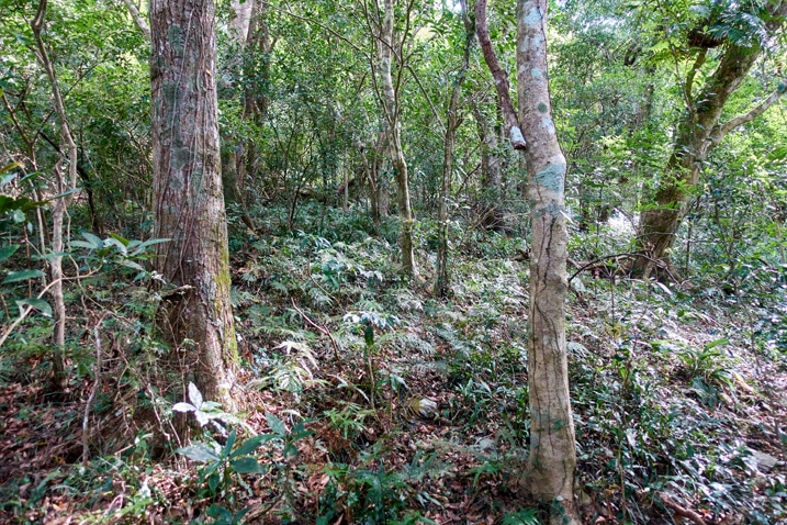
I followed what I thought was the trail. Turns out I was wrong. I cut back and headed in a different direction, but there was no trail or anything to let me know I was going in the right direction, save for the GPX track I was following.
The main reason it was difficult was because of these low-growing plants that covered the entire mountainside.
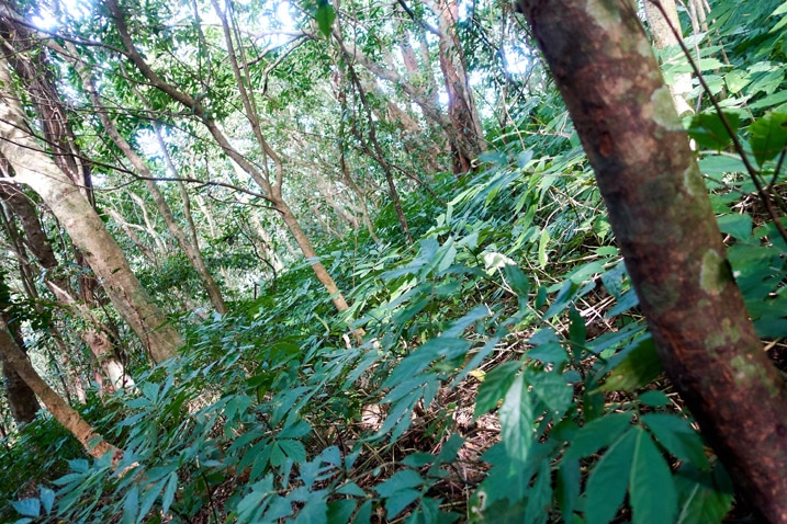
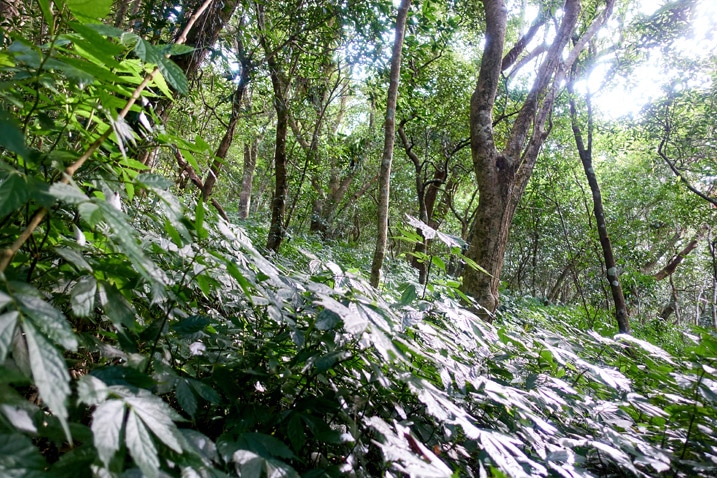
They weren’t particularly difficult to push through or clear when necessary, but they covered up any signs of the trail and–I would later discover–ropes!
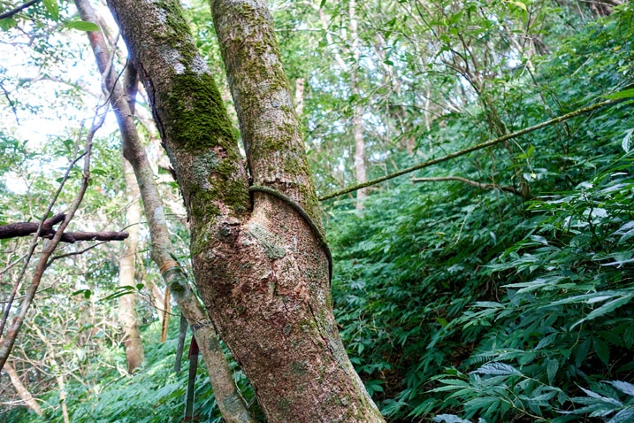
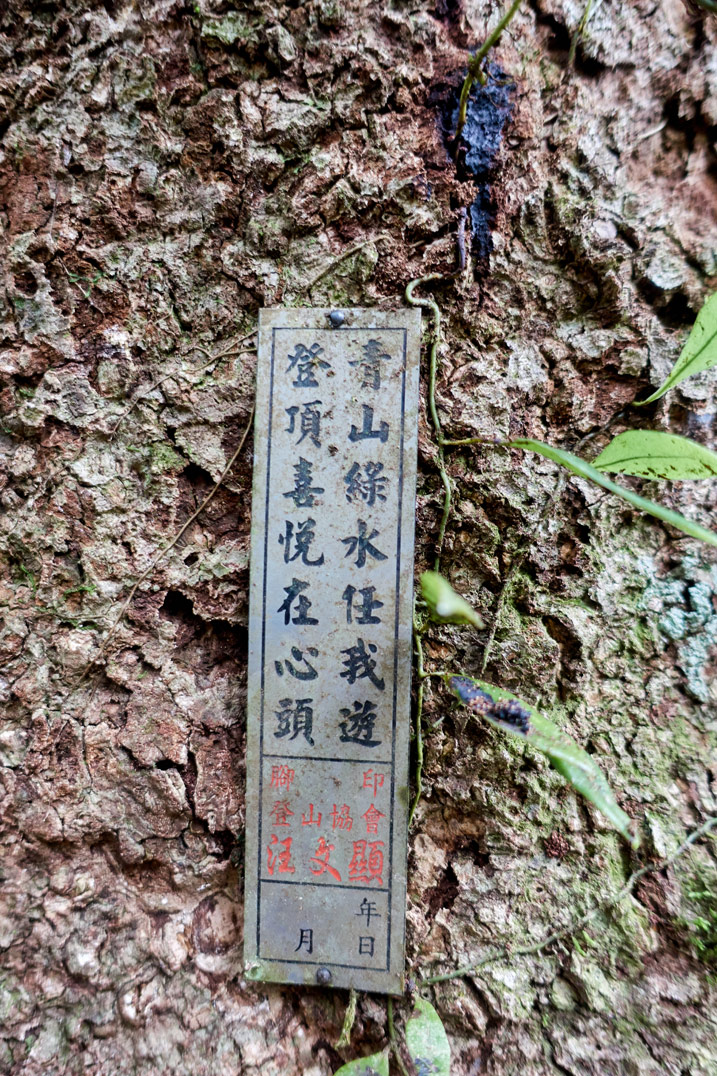
When I saw this rope tied to a tree (and the faded orange ribbon tied to another tree) I felt a small sense of relief. I was now on the trail AND I could follow the ropes up in the right direction, as the trail still wasn’t visible. At that point I was beginning to think that nobody has hiked this trail in a long, long while.
As it happened, my encounter with the rope(s) was brief. There was another rope at some point…
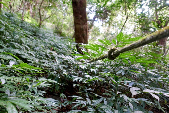
…but the trail must have cut over and I missed it. With nothing else I could do, I continued upward.
“The STEEP”
I had been keeping a close eye on the GPX track, but I think the dense canopy was messing with the signal. I thought I was relatively close to the trail, but I wasn’t. In fact, I was a good distance west of it. That wouldn’t have been a big deal, but the terrain was getting steeper. And let me tell you something about the steepness of this mountainside…
IT….WAS….REALLY…FRIGGEN…STEEP!
Some of the above pictures show the steepness. But a good portion of the hike looked like this:
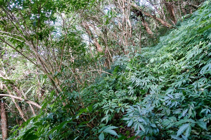
I mean, it was steep, but I’ve hiked steeper sections of trail before. For some reason this short distance made it feel worse.
There was roughly 350 meters elevation gain over 800 meters distance. According to Google Earth, the average slope of my GPX track was 21% with a max slope of 60%. That doesn’t really seem like much to be honest; though I’ve read that you can’t trust the numbers Google Earth calculates. Whatever the case, it really felt steep most of the way. And that’s probably due to the terrain. There were plenty of “two steps forward, two steps back” sections of loose dirt.
Finding the Trail
After noticing I was pretty far from the trail, I decided I had to cut over to link up with it. Also, it was becoming way too steep. The only problem though was a small ravine between me and the trail. I had to pick my way over and across the shallow land-form, which took some effort. As usual, I don’t take any pictures while I’m exerting myself. So you’ll have to take my word about the little ravine.
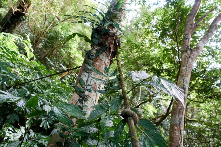
My reward for that little un-pleasurable jaunt was…a rope!
The Trail
This section of the hike was nice because you have the ravine–that gets deeper as you go up–on your left, and a steep drop-off on the right. It would be difficult to lose the trail here. Also, there were plenty of ropes most of the way up.
The downside of all these ropes was again, the steepness and danger level. 😥
I had only been hiking an hour and twenty minutes, but it felt longer. In that time I only managed to cover just over half the distance up the mountain. Slow going to say the least! But again, at least I had ropes!
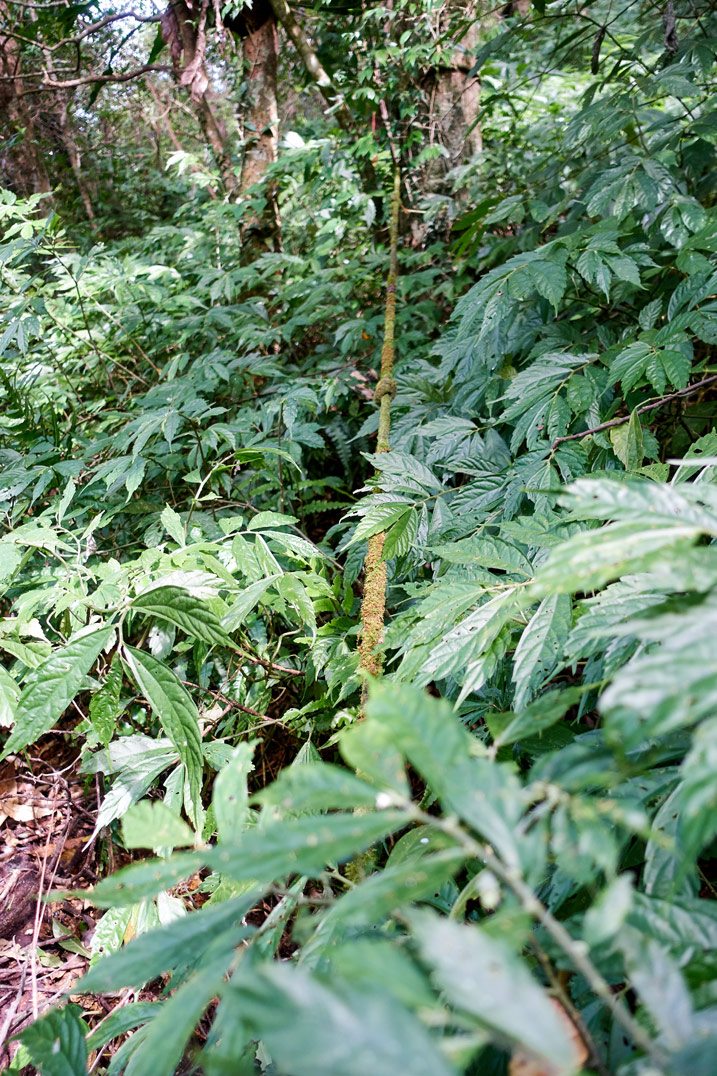
But the ropes…YUCK! 😥
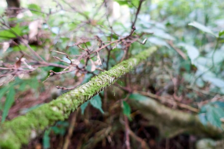
Just look at them. They’ve been here so long they can almost qualify as plant-life. Glad I wore gloves!
This was the steepest part of the hike. The ropes DID help though; and despite my hesitation to use them, they were in good enough condition not to break to send me falling down the mountain to my death. That thought entered my head every time I dislodged a rock and could hear it making it’s way a fair distance down before stopping.
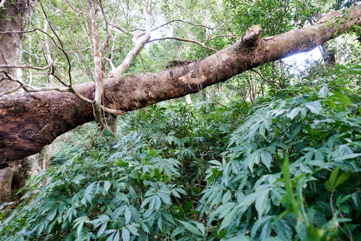
Another issue with the ropes was with deadfall. There were places with one or more trees that had fallen on the ropes. In some cases the ropes were holding up the trees, like the picture below.
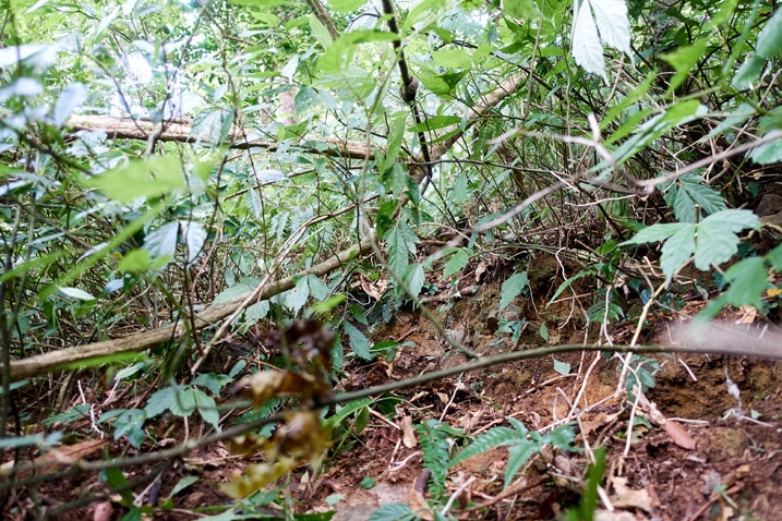
I needed to take detours around a couple of them. But after some bullheaded effort I climbed the last rope…
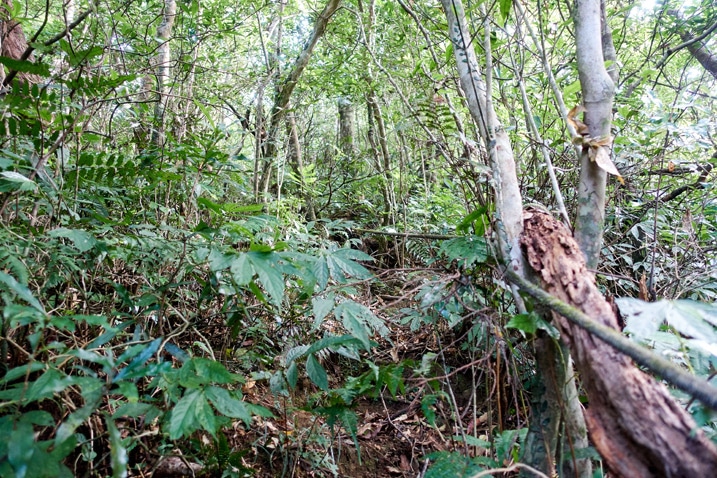
…and made it up to flatter ground.
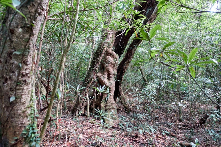
From here it was like a scavenger hunt to locate the peak. And before long I linked up with the main trail, maybe 25 meters or so from the peak.
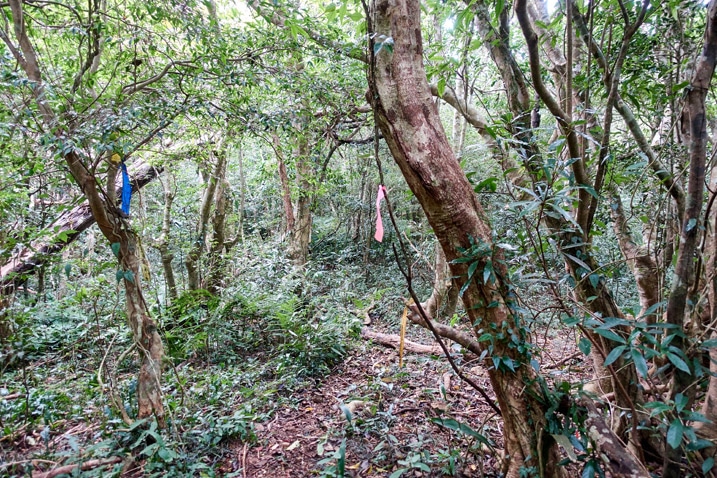
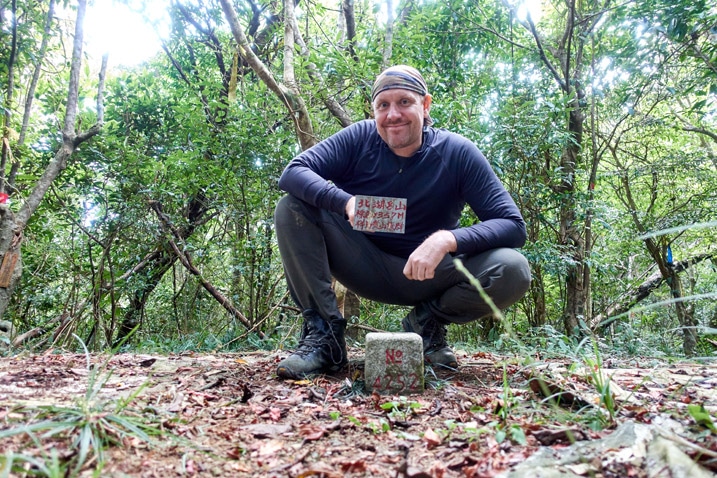
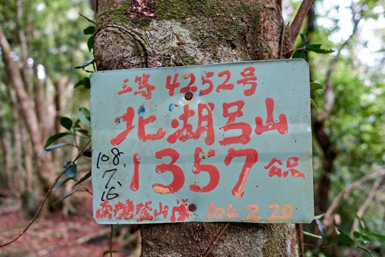
BeiHuLuShan Peak 北湖呂山
I hiked nearly two and a half hours to reach the peak. It was faster than hiking the main trail, but not by a whole lot…and took a lot more effort and was definitely WAY more dangerous.
Since I had been there once before, I wasn’t in a big hurry to take any pictures. I spent a fair amount of time eating, relaxing and listening to my Bluetooth speaker far louder than I should have…but whatever, nobody would be on this peak but me today. So all was good. 😎
But of course, I did take pictures later.
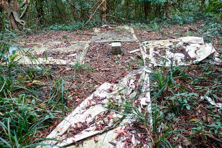
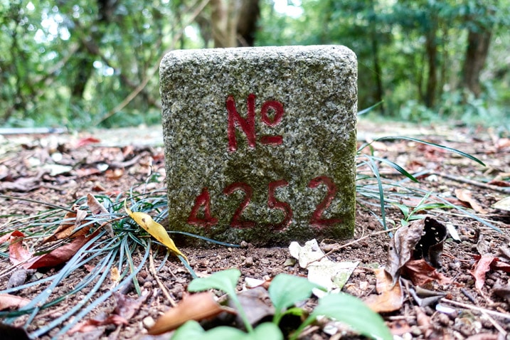
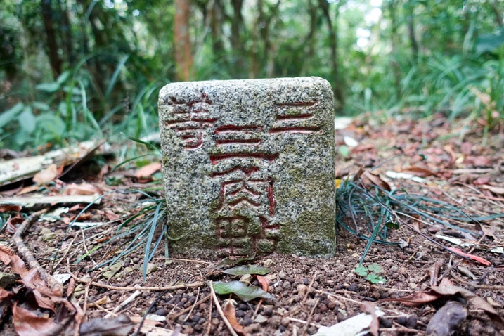
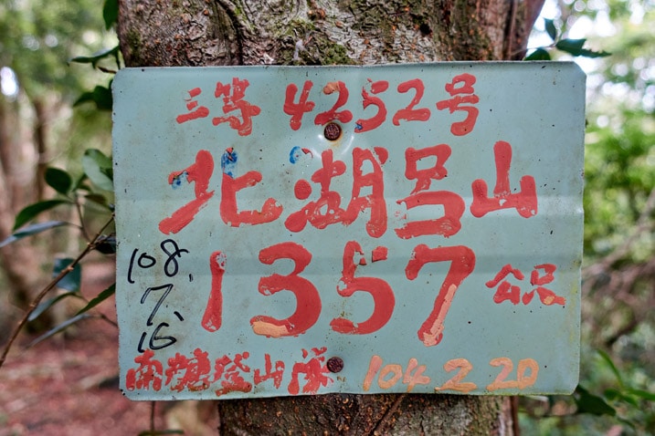
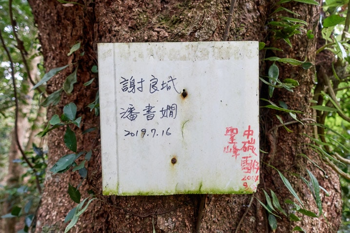
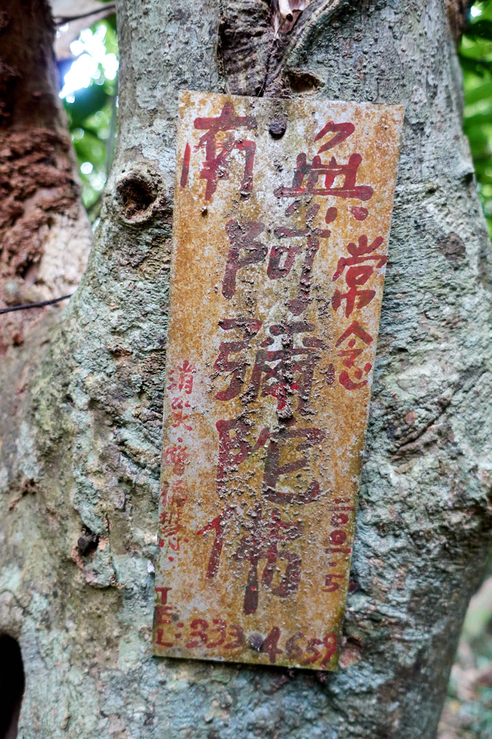
And a peak visit wouldn’t be complete without a triumphant pose. Or…sorta triumphant.
Decision Time
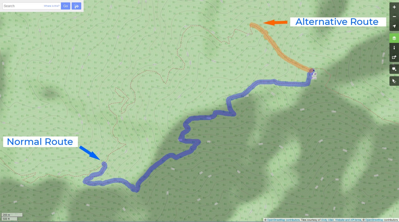
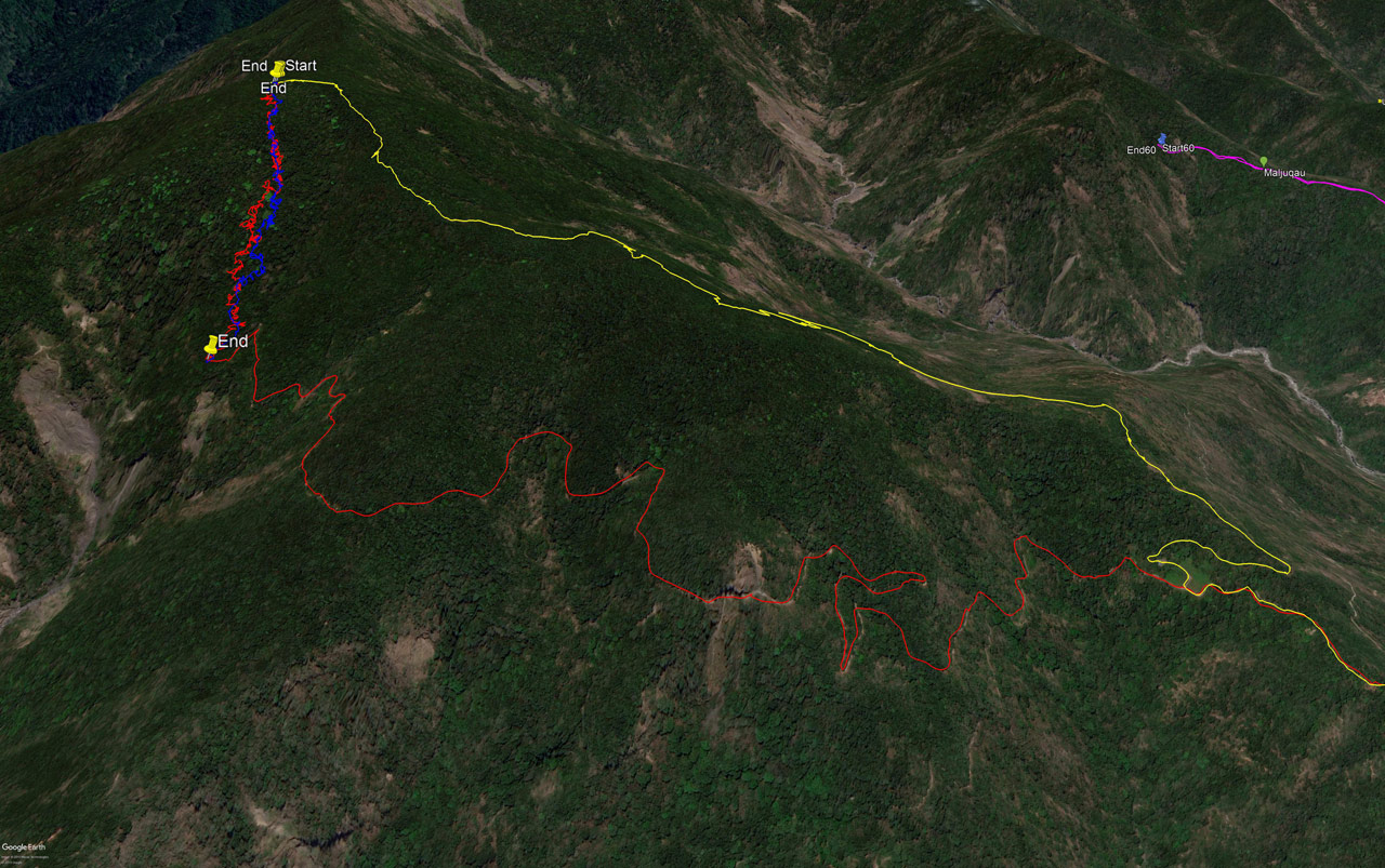
Shortly before leaving I started feeling the pain in my upper shin coming back. It wasn’t so bad, but I knew from recent experience that it might get much worse as I descend. I weighed the option of hiking down the main trail instead, but decided against it. It would be much easier and safer, but it would mean an extra 4 kilometer hike back to my bike AFTER the 6 kilometer hike down the main trail. In the map below, that would be taking the yellow path down to where it connects with the red path and then take that back up to my bike. That’s a heck of a lot more hiking! So back the way I came!
The Hike Down
I don’t have a whole lot to add about the hike down, except that it was much quicker. I had tied up several ribbons on the way up and they helped immensely.
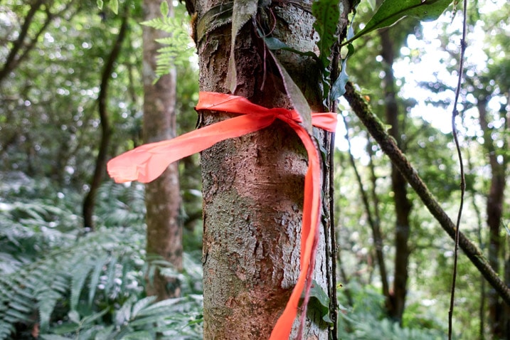
Without them and I’m sure I would have gone off course plenty of times. Hopefully they’ll help the next hikers ten years from now. hahaha…
Normally I don’t tie up ribbons unless I feel I must – and with this trail, it was a must. Most of the time I didn’t see any ribbons at all. I’m sure they were there, but either had fallen off or became faded/molded to the point of being camouflaged. (Just like the old ribbon above mine in the picture above)
I made it down the first steep section without any real problems.
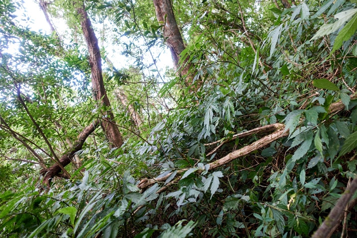
I was able to follow the path I made on the way up for a decent portion of it. This helped speed things up.
I had one little accident towards the bottom. When I was standing on a large patch of loose dirt and rocks–most likely where water runs off during a heavy storm–as I started to take a step, the next thing I knew I was on my butt sliding down the mountain. I stopped myself and was OK, but I had a really sore rear end for the rest of the hike! (Later it became a pretty nice size bruise. 😕 )
In total, it took me less than two hours to reach the trail head. That seems about right compared to the time it took to get to the top. And for your viewing pleasure (probably not) here’s a picture I snapped on the ride back.

Final Thoughts
I really don’t see many people wanting to do this hike. It’s not all that fun, unless you like a challenge. The only “view” you will get is something like this:
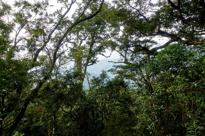
This is the kind of hike for someone, like in my case, who has already been to BeiHuLuShan on the main trail and for whatever crazy reason wants to hike it from a different direction. I enjoyed it, but I don’t see myself wanting to attempt it again.
Oh, and in case you were wondering, my shin was hurting the entire way down. I figured out a method of hiking that lessened the pain, but it appears two weeks rest wasn’t enough.
Date hiked: 2019 December 03
GPX Track Download Instructions: Click the track on the map to see the download link
I’m going to drop both of the GPX tracks for this one. The first one shows the how to get to the trail head. But consider using the second one to follow to the peak because it will be more accurate. However, neither are perfectly accurate. You’ll need to do a fair bit of trail finding and/or bushwhacking to reach the peak.



![[Valid RSS]](https://outrecording.b-cdn.net/wp-content/uploads/2020/03/valid-rss-rogers.png)
Nice! I finally found your blog.
Hey! Glad ya found me!
Your story details the process you experienced and let readers lose themselves in time.
It also remainded me how wonderful memories I had as I had the same routes, from BeiHuLuShan to NanHuLuShan.
Awesome record.